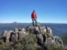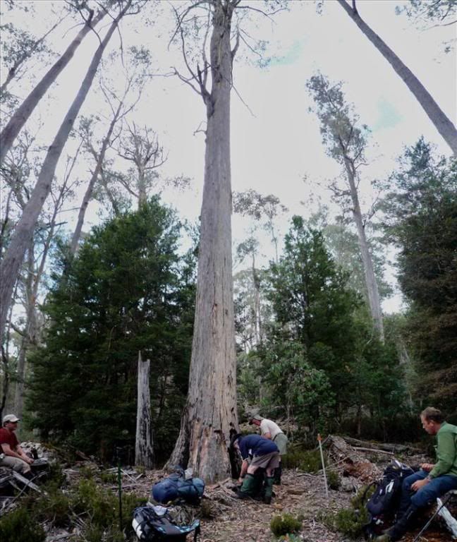
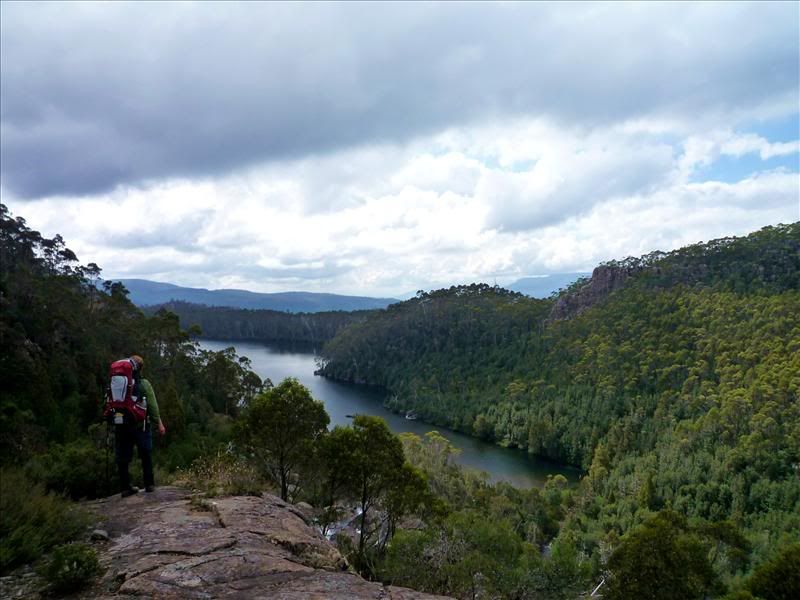
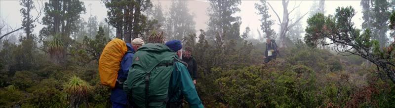
After Grail falls (might add an image later when I find one - nothing too special) we headed up, and I mean UP a steep track to a shelf overlooking Chapter Lake and the Mersey Valley beyond. We stopped here for a break and for Geoskid to lighten up his pack by hiding some rubbish in the bush (I think he calls it Geocaching actually)
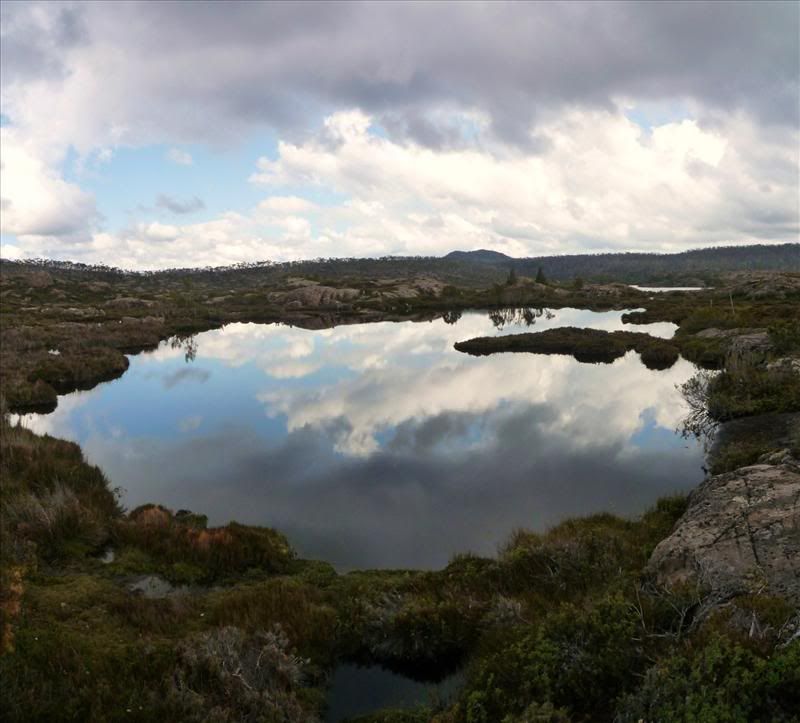
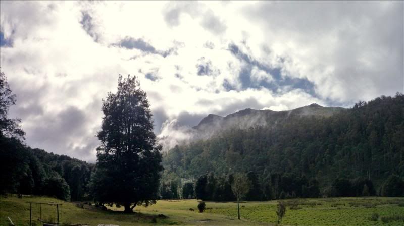
We then continued to head on up a very pretty valley to the even prettier (is that a word?) Chalice Lake.
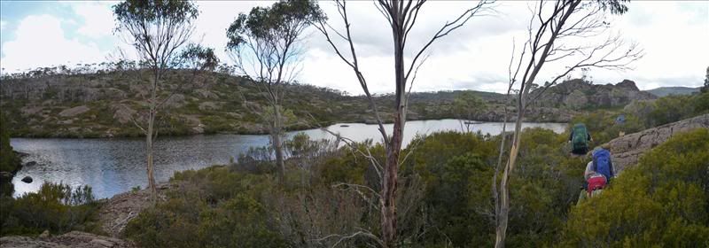
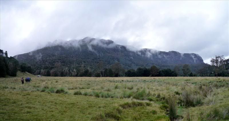
We were a bit surprised by the terrain, the map somehow looked flatter!
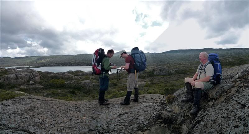
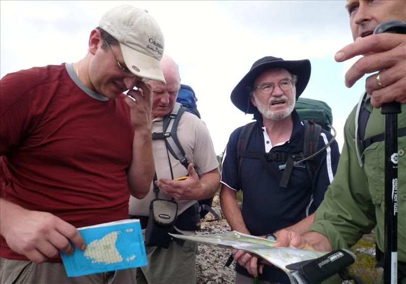
Anyway after a bit of a rest and a discussion about where we might strike camp we decided to push on to Tent Tarn for the night (sounded like a good spot to put tents). Up to this point it had been pretty easy to follow the track but we soon found ourselves trackless so out came the map.
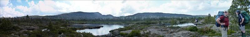
Of course we were far to lazy to take bearings and with three GPS units we banged in the co-ordinates and headed up the hill after rounding Chalice Lake. We stopped for the others to fill up at a creek and while I waited I sat down. As usual I used my two trekking poles to push me back up on my feet and one of them bent! Oh well nothing a bit of straightening and adjusting wouldn't fix. Within an hour we were at the quite picturesque Tent Tarn.
We soon struck camp on a likely patch of ground near the Tarn and got cooking. Meals varied from 2 minute noodles to juicy steaks.
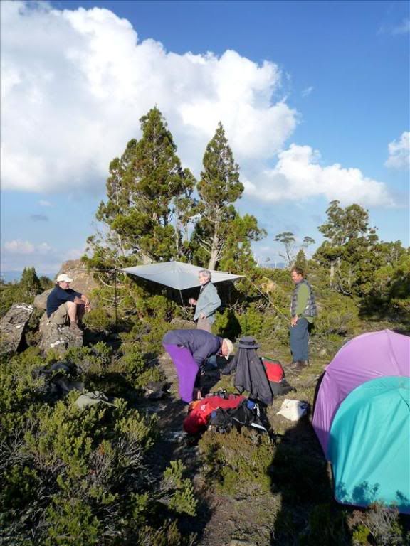
Although we had had some ideas of bagging a peak in the afternoon, after arriving late and realising how much more difficult the terrain was we ended up just kicking back for a few drinks under the intimate lighting of the gas lantern!
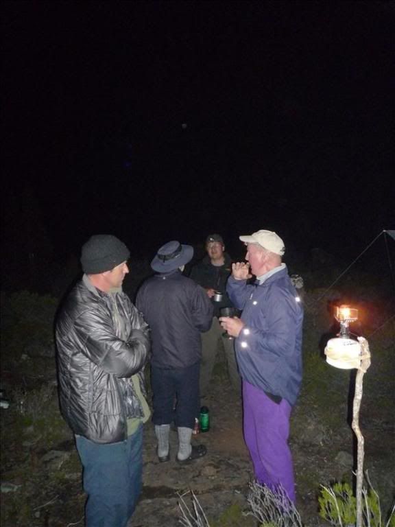
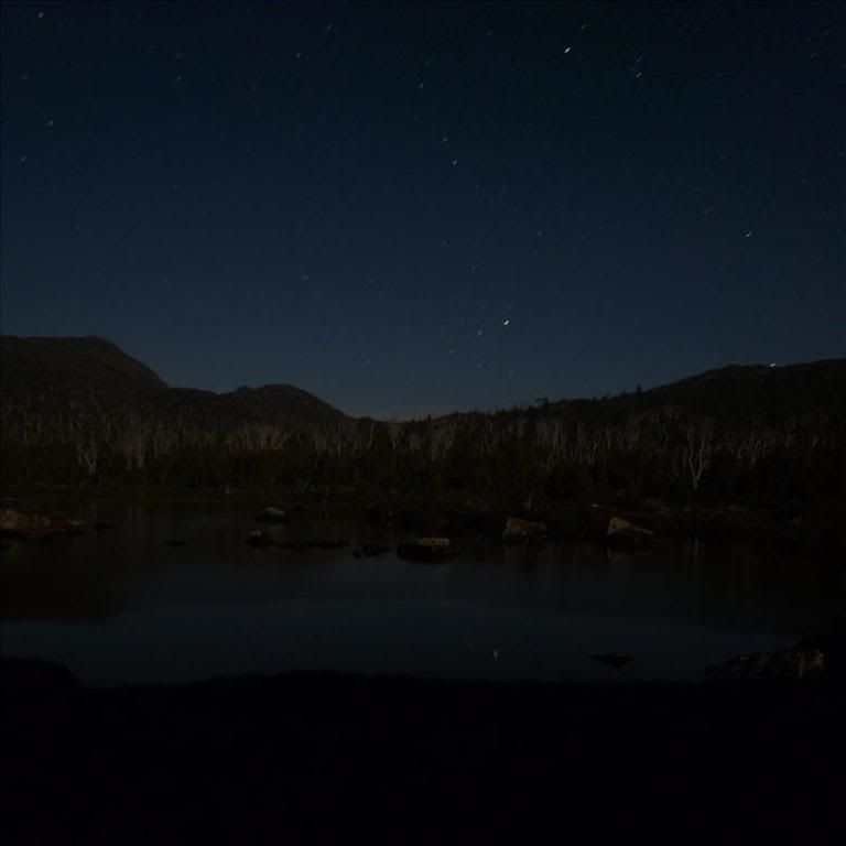
The moon rose and the stars came out for a beautiful warm and still night.
 .
.I fully expected to wake up to the sound of rain but was pleasantly surprised to have a dry morning (I don't look forward to packing up in the rain in the tiny confines of my Microlight).
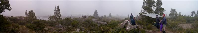 We had a leisurely breakfast and packed up the tents and other gear before the clouds descended and the rain started falling. We all sheltered under the kitchen tarp in some strange hope that the weather man was wrong and it would blow over before we set off. Meanwhile the map came out again to plot a likely track.
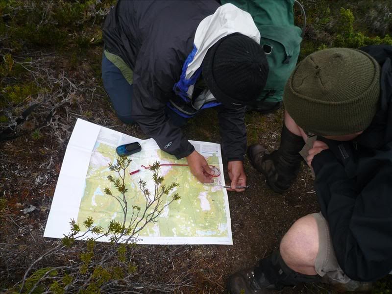
Eventually there was a break in the rain and we hit the track, making the shelter of some pencil pines before the rain began to tumble down again.
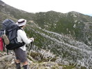
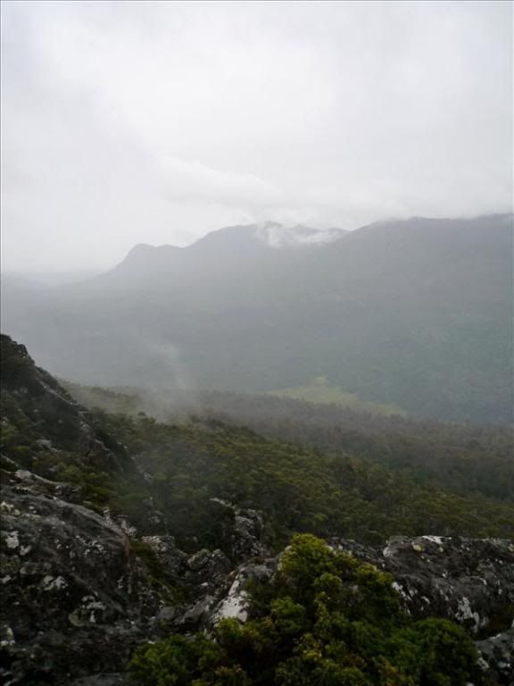
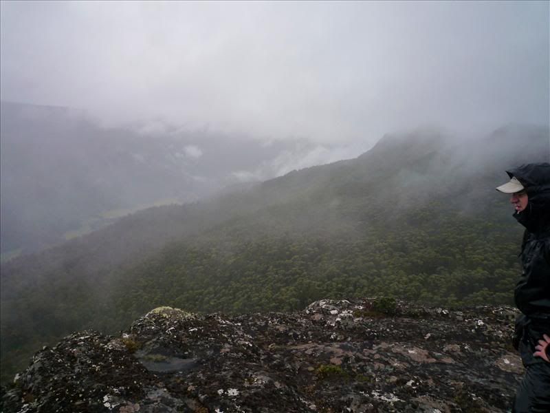
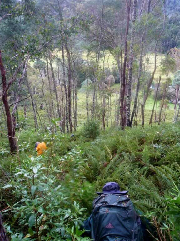
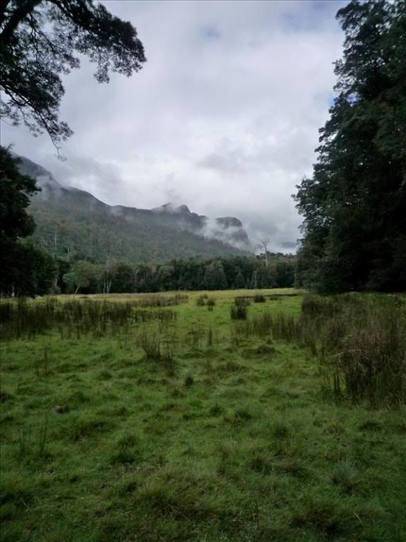
We pushed on kinda towards Bishop Peak trying to rise above the thick vegetation, as the going got more exposed the vegetation did rescind a little but it still wasn't nice easy going like the Central Highlands as I had expected. Photo's became very infrequent for next 4 or 5 hours as the rain came down and at times the wind got quite strong. In poor visability we made our GPS guided way north at about a 1300m elevation doing our best to make a beeline for the start of the track off the mountain whilst avoiding as much scrub as possible. On the north side of Bishop Peak the cloud lifted a little to reveal the top end of Lees Paddocks about 700m below. It would have been a great view if not for the cloud, rain and wind.
From this point things got exciting! We couldn't find the track head down to Wadleys so after a bit of scrub bashing and 'discussion' we made a direct bash for the top of the creek between Bishop Peak and Curate Bluff. Things got very dense and well over head high down this way, but with Bulldozer Si in front we were soon on the creek, but making incredibly slow progress down the hill. FF had already commented his "fuel light was on" and the bulldozer had had to have a brief top up prior to the creek, so at about 3pm when a small clearing large enough for us all to stand in was encountered we were all only too happy to have a break and some lunch. It also gave us the opportunity to de-leech a bit and assess the effectiveness of our wet weather gear (in the bulldozer's case what was left of it!). The rain pretty much stopped at about this time and the scrub opened up a bit allowing us to make much better time. We soon came across the blazed track we had been looking for and followed it as it sidled southwest down the mountain through some beautiful bush.
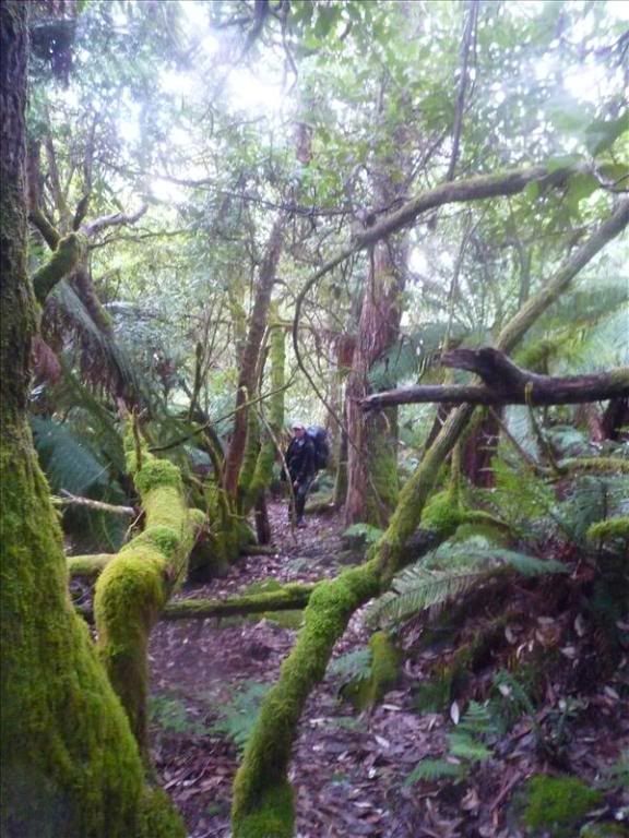
Eventually we got to a point where the track seemed to vanish and after spending some time trying to find it we gave up and made another GPS guided beeline for Wadleys. This was very steep, exceedingly leech infested and at the same time some of the most beautiful forest I have ever seen as we passed trough ferns, very large man ferns and moss covered trees of various sorts. We slid under, climbed over and bashed trough trees and scrub of all sorts as we made our way off the mountain (I managed to snap a second walking pole and hole my overpants on a very sharp rock here as well). Eventually things began to open up near the bottom as we approached the Mersey River
 .
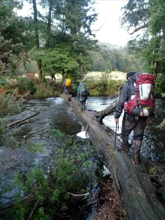
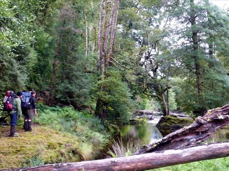
.The Bulldozer was near unstoppable; although a stinging nettle near the river slowed him up a bit. But not much as he informed us 'where I come from we have stinging nettle eating competitions' (yep true story)! After reaching the Mersey all of our built in compasses went a bit stupid as we couldn't find the log bridge we had all seen on a previous trip but eventually we found it after some wandering up and down the river.
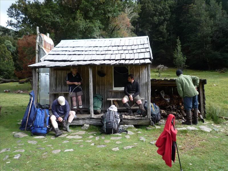
It was good to get to Wadleys Paradise and get all the wet weather gear and packs off. (actually this photo is the next morning as my camera was a bit too damp when we arrived)
We had another de-leeching session and two of us went for a swim in the Mersey to clean off the mud and blood and sweat! It was very cool and refreshing, shame the others were too sensible to get the enjoyment
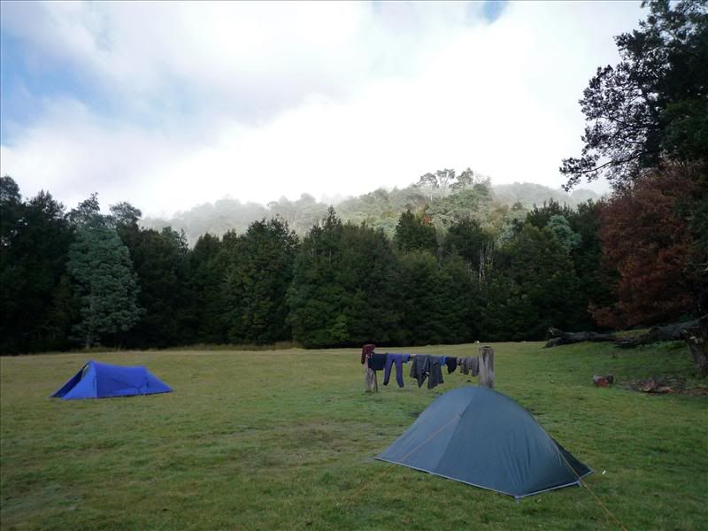
Wadleys hut became a home for the aged while Si and I camped out in tents for the night
On day three we slept in a little and packed up before heading off as a light shower niggled at us.
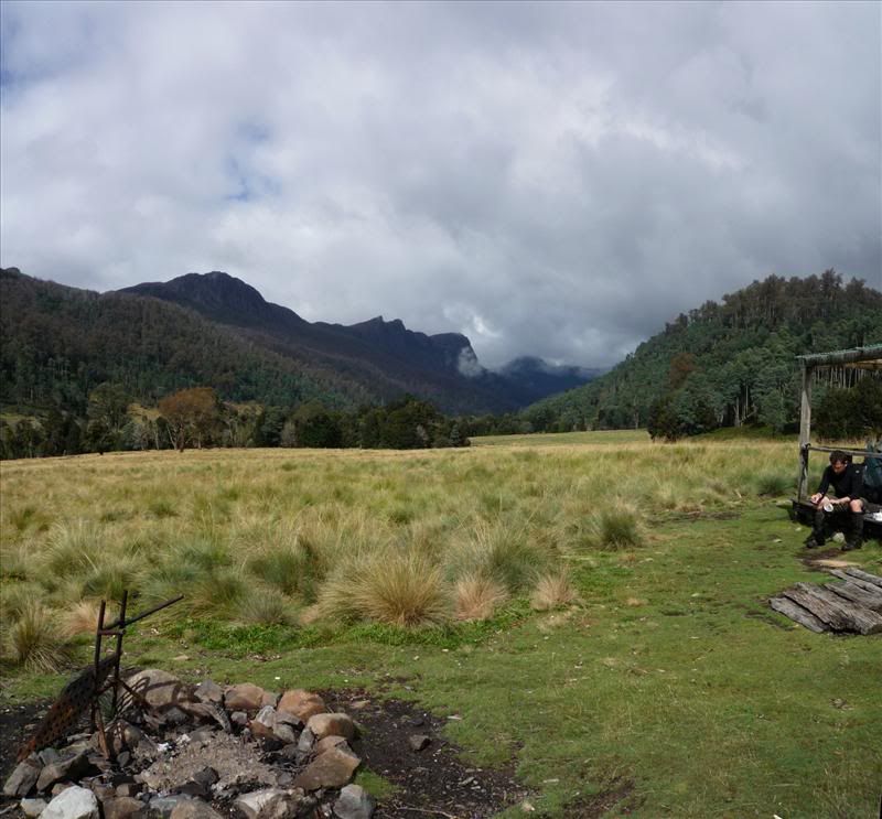
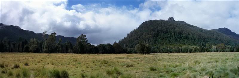
It was a nice easy walk through to Lees Hut where we stopped for lunch in beautiful warm sunshine (okay not when I took this pic but most of the time we were there!).
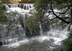
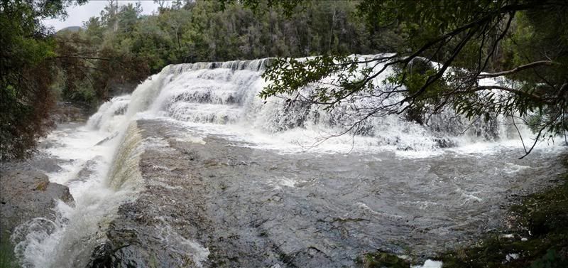
On the way out we decided to check out Oxley Falls as there was a fair amount of water in the Mersey. They were well worth the short side trip.
We arrived back at the cars around mid afternoon after a very enjoyable walk through some excellent scenery with even better companions. I really think it's a bit of an under rated area and would love to do the same walk again some day in fine weather to bag a couple of peaks which would have an amazing view along the Mersey Valley.