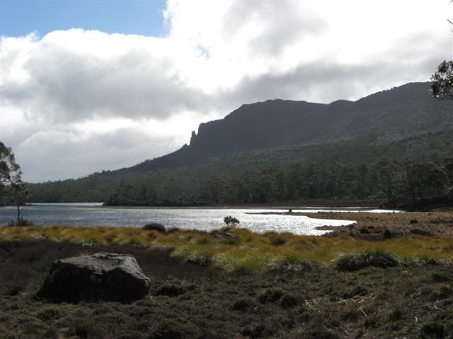
Mt Oakley and Lake Ayr on the way in.
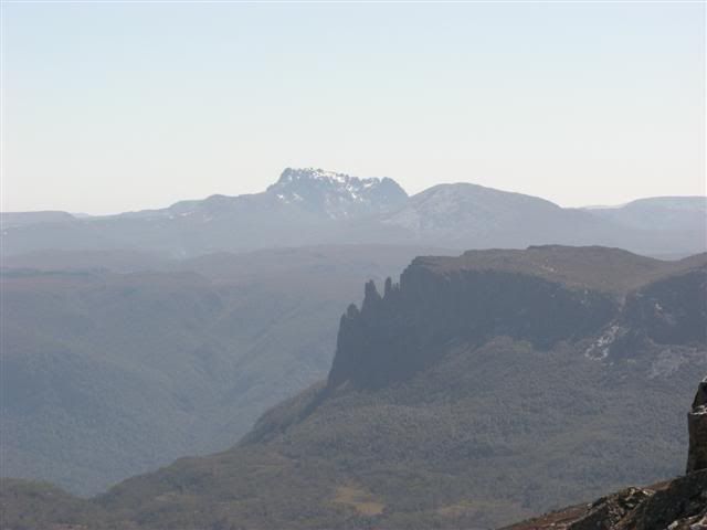
From Summit of Pelion East.
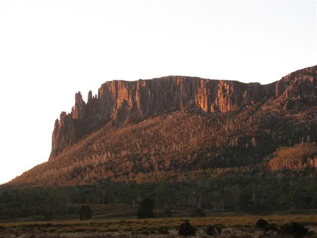
Mt Oakley
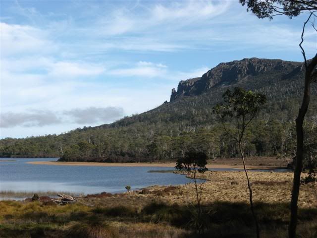
Mt Oakley and Lake Ayr on the way out
![]() by kantonysen » Mon 24 Sep, 2007 7:29 am
by kantonysen » Mon 24 Sep, 2007 7:29 am

![]() by Speculator » Mon 24 Sep, 2007 10:17 am
by Speculator » Mon 24 Sep, 2007 10:17 am
kantonysen wrote:We went for a three day trip to Pelion East via the Arm River track.
From Summit of Pelion East.


![]() by Son of a Beach » Mon 24 Sep, 2007 11:23 am
by Son of a Beach » Mon 24 Sep, 2007 11:23 am
Speculator wrote:What's that in the distance with snow on it?
L8r.

![]() by Speculator » Mon 24 Sep, 2007 11:54 am
by Speculator » Mon 24 Sep, 2007 11:54 am
Son of a Beach wrote:Speculator wrote:What's that in the distance with snow on it?
L8r.
That'd be Cradle, I'd say. The 'classic' view of Cradle (from the North end of Dove Lake) is quite different to the view from most of the national park.
![]() by kantonysen » Mon 24 Sep, 2007 6:08 pm
by kantonysen » Mon 24 Sep, 2007 6:08 pm
Users browsing this forum: No registered users and 1 guest