A pictural essay on off track peak bagging

Posted:
Sun 09 Oct, 2011 5:04 pmby doogs
Choose your mode of transport> bicycle was my choice for this trip as the Hydro gate was closed.
Try to get as close to the peak as possible, <1km is a good effort.
Then head towards the peak through whatever you are faced with.
Re: A pictural essay on off track peak bagging
Posted:
Sun 09 Oct, 2011 5:41 pmby doogs
You find a small pile of insignificant rocks.
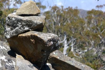
- summit.JPG (40.4 KiB) Viewed 6206 times
Take in the views from the best vantage point.
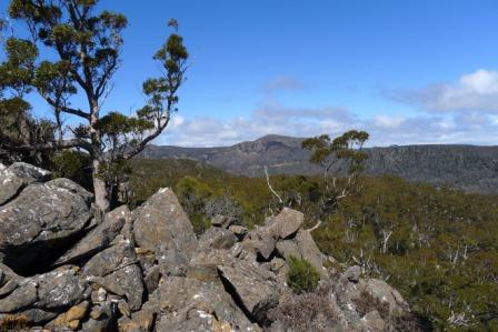
- sandbanks and blackwood.JPG (40.93 KiB) Viewed 6206 times
Then return to your vehicle via the shortest distance/easiest route.
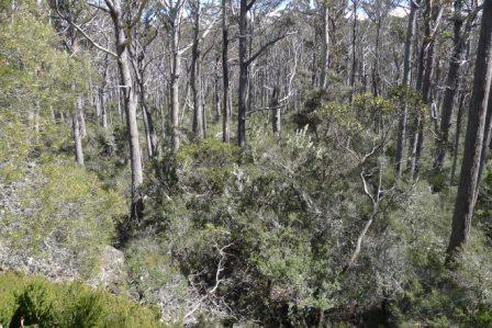
- route searching.JPG (57.96 KiB) Viewed 6206 times
Re: A pictural essay on off track peak bagging
Posted:
Sun 09 Oct, 2011 6:09 pmby ILUVSWTAS
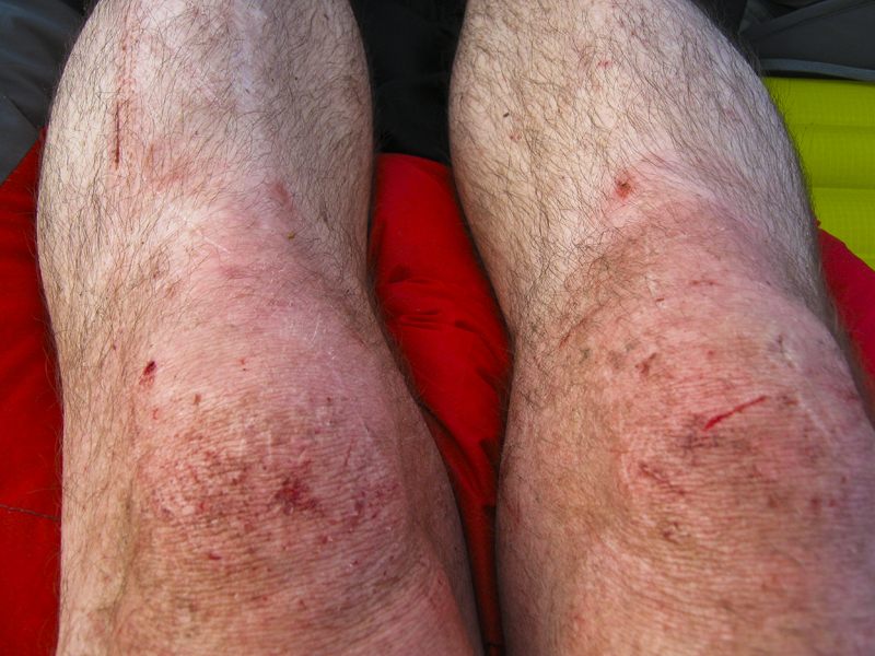
Lol, very nice Doogs!! We managed to make quite a mess of this peak when we did it....
Re: A pictural essay on off track peak bagging
Posted:
Fri 21 Oct, 2011 8:45 amby MJD
I did the same as you. Just as well it's less than 1km cos the scrubb was a bit of a pain. Also I think that there might be a track that starts a bit before where you left. I noticed a small cairn as I was cycling back

.
Re: A pictural essay on off track peak bagging
Posted:
Sun 23 Oct, 2011 1:18 pmby stepbystep
BUT, sometimes it goes like this...
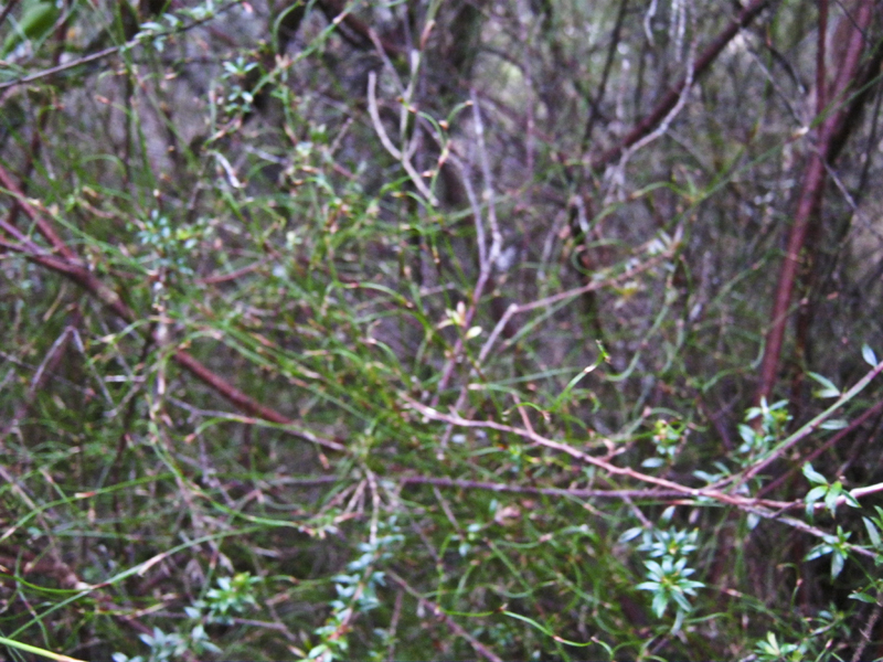
- IMG_3526.jpg (454.04 KiB) Viewed 5990 times
...then...
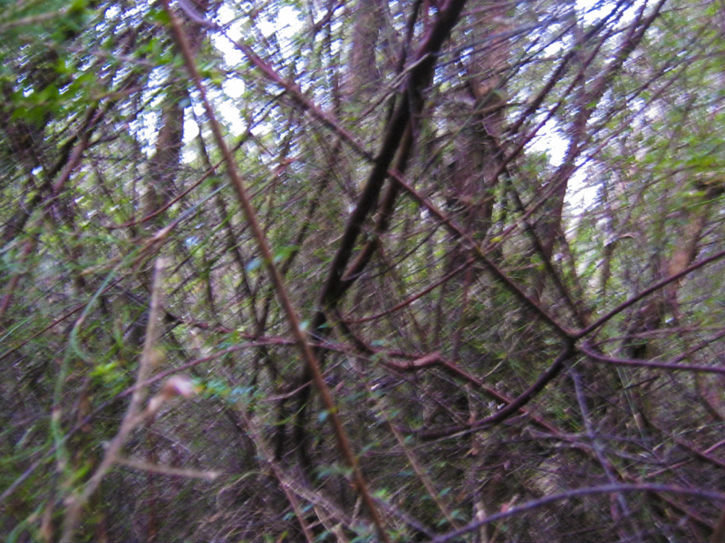
- IMG_3525.jpg (521.72 KiB) Viewed 5990 times
...and ends with this....
- IMG_3517.jpg (483.75 KiB) Viewed 5990 times
...and you never got to the peak!
Re: A pictural essay on off track peak bagging
Posted:
Thu 22 Dec, 2011 11:25 amby bushwalker zane
This made me laugh, good photos there! It reminded me of a time I was in the Walls, saw a nice looking stand of pencil pine on the map and with said map and a compass, made a B-Line to my objective. BANG! I hit a south facing slope, joy of joys. But, got to the pines that were next to a lake. Gorgeous.