Day 1
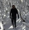
On Saturday we left the Munyang Power Station carpark at 9.30 am, our plan was to on Saturday snowshoe to Mawsons Hut some 19k then with an early start on Sunday snowshoe to Mt Jagungal and back (around 19k), then on Monday snowshoe back to the Munyang, I had snowshoed a few times out of Munyang but this was the first time that I could put my snowshoes on at the Power station.
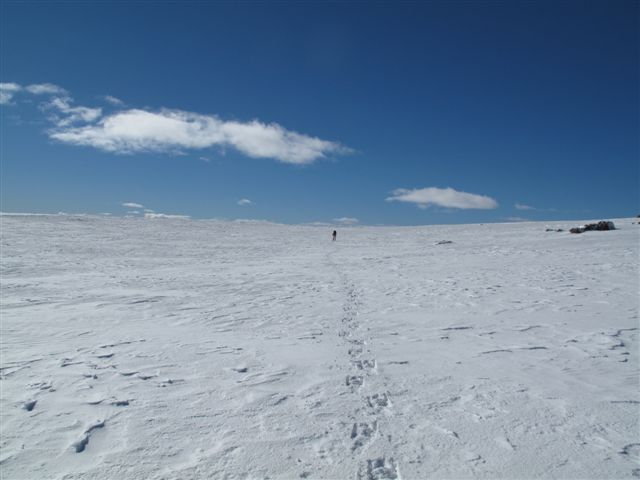
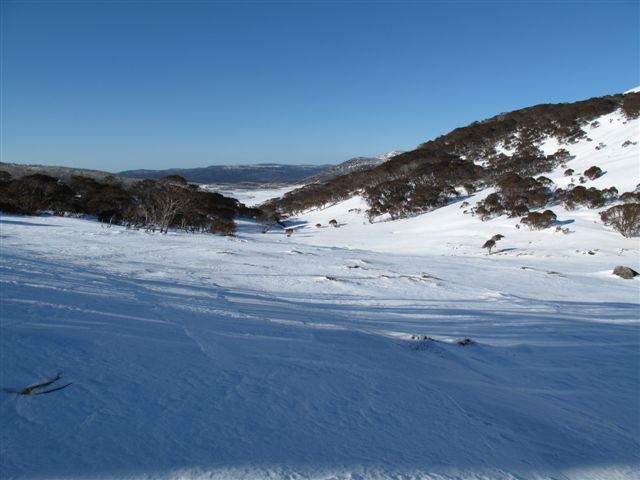
Aquaduct Track
Previous trips we have snowshoed into Mawsons Hut via the beautiful Kerries Ridge but this time we decided to go via Schlink Hut for a change. The snow being fresh, it was a bit soft but was still good going, the main problem we had some cross country skiers giving us a hard time for walking on the Aquaduct track with snow shoes, I managed to keep my cool and eventually we got in front of them and did not see them again. Just after we turned onto the Schlink trail we met a friend of mine who had been cross country skiing in the backcountry for 31 days, it was her last day out and she was heading for her car which was parked at Munyang.
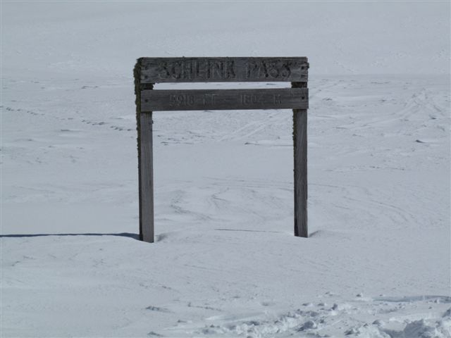
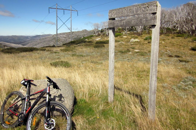
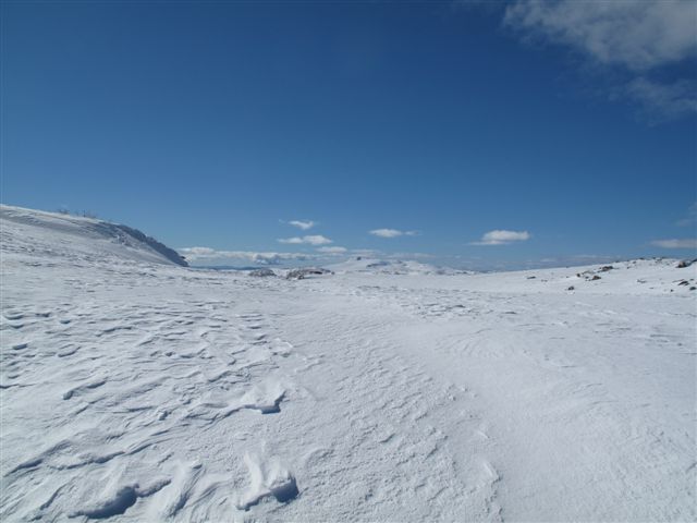
Schlink pass
We stopped for lunch at Schlink Hut and enjoyed the company of four young people from Victoria, we then headed north to Mawsons hut along a ridge just west of the Kerries, we arrived at Mawsons at 4pm, it was a delightful days snowshoeing. At the hut were six XC skiers, three groups of two, we set up our tents while some of the other people staying in the hut cut some wood for the evening. I was at Mawsons Hut five weeks ago and this time the snow was at least 1-1.5 meters deeper near the hut. We had a very pleasant evening sitting around the stove, talking about gear and huts before retiring to our tents around 8pm.
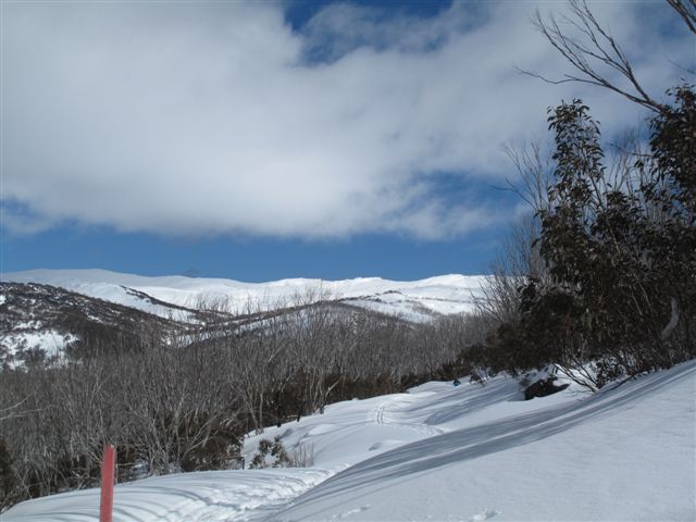
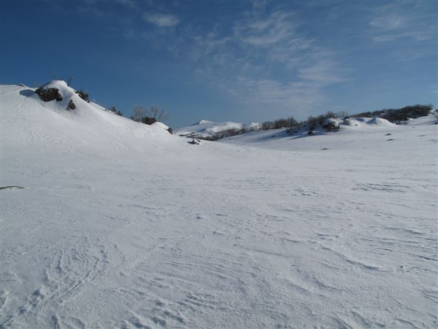
The way ahead.
Day 1, total, distance-19k, total ascent 984 meters. Moving average 3.9kph
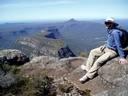
Our target Mt Jagungal
Day 2
The next morning we rose at 6 am to get ready for our trip to the top of Mt Jagungal, on my previous trip to Mawsons it took a party of XC skiers over 9 hours to ski to Mt Jagungal and back and on Saturday two skiers took six and a half hour to do the trip and even then they did not make the top. We where on our way by 7.30 and decided to take as straight as line to the top as possible, as the crow flies my GPS told me that to was 8.5k to the top, the direct route took us over a few ridges, but we still had to weave our way around some of the steeper and rockier ridges. At 9.30 am we had made the base of Mt Jagungal we had made good time, but we still had 260 odd meter very steep climb up to the top, after a short break for a drink and something to eat we started the final climb, we made the top at 10.05 am, the GPS said we had traveled 9.5k, it took us 2 hour 35 minutes. The views from Mt Jagungal where magnificent, we had a clear view of the northern face of Watsons Craggs, we could easily see the Bogong High Plains in Victoria, it was quite windy on top and with the wind chill after ten minutes and a phone call to wish my dad happy fathers day, we decided to head back, we mostly followed our tracks back and arrived back at Mawsons Hut at 12.45 pm, we had traveled 19k in just over five hours, the GPS said we had a moving average of 4.2 kph.
Day 2, our view of Mt Jagungal.

We walked up the from the left

The view from Mt Jagungal, Watsons Craggs on the left and Bogong High plains in the distance.
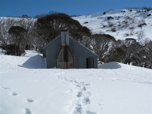
Mawsons Hut.
As the trip up to and back took us much less time than expected we decided that after lunch and a rest we would move onto Tin Hut for the night and have a shorter trip back to the car on Monday and get home early to get some BP’s, even though we where a bit tired the 5k trip to Tin Hut was straight forward, we followed Valentines River, over the watershed into the Finns River catchment and onto the hut, a total of 24 k for the day, When we arrived, there was already someone at the hut, another snowshoer, he was outside cutting up some wood. It was quite windy so I decided to stay the night in the hut, my mate Dave set his Scarp 1 tent outside near the new toilet. We had a very pleasant evening chatting to the other snowshoer who turned to be robl another member of BWA, last time I was in Tin Hut the stove leaked smoke very badly but thanks to robl, he sorted it out and there was only a small amount of smoke inside the hut.
Day 2 totals, distance-24k, total ascent 881 meters, moving average 4.3 kph.

A nearly buried Tin Hut at sunrise with the moon over the Kerries.
Day3
Again we rose early as we wanted to get away early, again we decided to take a different route to our car and wandered down to Finns Swamp, then over the middle of Disappointment Ridge, down to the Aqueduct Track and back to the car.
Finns Swamp from the upper Finns River.
Day 3 totals, distance-13.25k, total ascent 465m, moving average 4.2 kph.
Trip totals, distance, 56.25k, total ascent 2330 meters.
At the start Dave’s pack weighed in at 11.5kg, mine weighed 12 kg, this included, 1.5 liters of water and 600 mls of Port.
The lowest temperature recorded -3.8C.
Tony