Forum rules
Only administrators may post new topics to this forum. Registered users can post replies.Re: Game: Where-is-it (Aussie)
Tue 05 Apr, 2011 12:45 am
eggs wrote:From the side of Mt Barney I can see Mt Ernest and Mt Lindesay behind it.
I believe you're correct eggs, beat me to it while I was researching it
Re: Game: Where-is-it (Aussie)
Tue 05 Apr, 2011 7:50 am
and on the left a bit further back you can just make out Glennies Chair and Mt Glennie on the 'border route'
Re: Game: Where-is-it (Aussie)
Tue 05 Apr, 2011 9:58 am
Where am I in SA?
- The Breakaways [near Coober Pedy] at Sunset
Re: Game: Where-is-it (Aussie)
Tue 05 Apr, 2011 10:30 am
Re: Game: Where-is-it (Aussie)
Tue 05 Apr, 2011 10:49 am
Certainly, this formation conforms to the pattern that defines the Painted Desert, but that official name is for an area north east of this shot.
This was taken at a different special reserve not far from a major town.
Re: Game: Where-is-it (Aussie)
Tue 05 Apr, 2011 12:02 pm
Re: Game: Where-is-it (Aussie)
Tue 05 Apr, 2011 12:11 pm
Re: Game: Where-is-it (Aussie)
Tue 05 Apr, 2011 12:20 pm
eggs wrote:Yes - it is the Breakaways at sunset
Just found it. Too slow...again
Re: Game: Where-is-it (Aussie)
Tue 05 Apr, 2011 4:48 pm
Re: Game: Where-is-it (Aussie)
Tue 05 Apr, 2011 8:11 pm
tastrax wrote:Free turn for anyone - no photos at work
here is one to keep the game rolling. NSW, what is the peak in the distance (not far distance) in the middle of the photo called.
- IMG_3557.JPG (34.6 KiB) Viewed 15622 times
Re: Game: Where-is-it (Aussie)
Wed 06 Apr, 2011 8:15 am
Clue, I am on the Main range looking south, the peak is very near the Victorian Border.
Re: Game: Where-is-it (Aussie)
Wed 06 Apr, 2011 8:59 am
Tony wrote:I am surprised that no one has got this yet.
Clue, I am on the Main range looking south, the peak is very near the Victorian Border.
Hi Tony, I did muck around with this last night but kept thinking you are somewhere around Consett Stephen Pass/Rolling Ground, and I couldn't find a matching view from my own shots or on the web. I'm now thinking that you may be in the Ramsheads looking at The Pilot?
Re: Game: Where-is-it (Aussie)
Wed 06 Apr, 2011 10:14 am
johnw wrote:Tony wrote:I am surprised that no one has got this yet.
Clue, I am on the Main range looking south, the peak is very near the Victorian Border.
Hi Tony, I did muck around with this last night but kept thinking you are somewhere around Consett Stephen Pass/Rolling Ground, and I couldn't find a matching view from my own shots or on the web. I'm now thinking that you may be in the Ramsheads looking at The Pilot?
Hi John,
You have it, it is The Pilot and we where near Rams head, great views to the south.
Your turn John.
Re: Game: Where-is-it (Aussie)
Wed 06 Apr, 2011 11:21 am
- Glasshouse Mountains QLD. Viewed from Mt Beerburrum, clockwise from left - Mt Beerwah, Mt Coonowrin (Crookneck), Mt Ngungun, Mt Tibrogargan, Mt Tibberoowuccum. Faintly visible behind Mt Ngungun is Mt Coochin (or Coochin Hills)
Re: Game: Where-is-it (Aussie)
Wed 06 Apr, 2011 12:59 pm
Re: Game: Where-is-it (Aussie)
Wed 06 Apr, 2011 1:45 pm
mountnman wrote:Mt Beerwah, Mt Coonowrin, Mt Tibrogargan, Mt Ngungun, Mt Tibberwoccum, all from Mt Beerburrum
Well done mountman
Re: Game: Where-is-it (Aussie)
Wed 06 Apr, 2011 2:41 pm
- IMG_0518.jpg (207.89 KiB) Viewed 15549 times
Re: Game: Where-is-it (Aussie)
Wed 06 Apr, 2011 3:28 pm
Re: Game: Where-is-it (Aussie)
Wed 06 Apr, 2011 6:36 pm
Re: Game: Where-is-it (Aussie)
Wed 06 Apr, 2011 8:49 pm
- Botherum Plain Hut, Kosciuszko NP NSW
Game: Where-is-it (Aussie)
Wed 06 Apr, 2011 9:00 pm
Re: Game: Where-is-it (Aussie)
Wed 06 Apr, 2011 10:46 pm
Bluegum Mic wrote:Botherum plain hut?
Correct Bluegum Mic, it is the very basic Botherum Plain Hut in Kosciuszko NP. A short side trip on the walk to Kalkite Mountain from the Gungarlin River camping area. Your turn...
Game: Where-is-it (Aussie)
Thu 07 Apr, 2011 6:22 am
Cheers
Mic
Game: Where-is-it (Aussie)
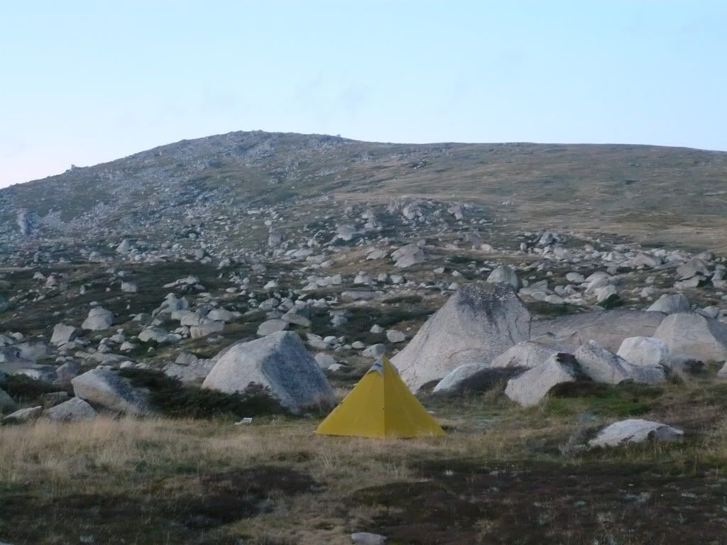
Thu 07 Apr, 2011 8:10 am
Where in the NSW main range am I camped and what's the peak behind my tent.
Re: Game: Where-is-it (Aussie)
Thu 07 Apr, 2011 11:18 am
Game: Where-is-it (Aussie)
Thu 07 Apr, 2011 11:52 am
Edit: clue- I'm a little further north
Re: Game: Where-is-it (Aussie)
Thu 07 Apr, 2011 1:06 pm
Game: Where-is-it (Aussie)
Thu 07 Apr, 2011 1:27 pm
I'm in a valley that has 3 peaks surrounding it. One to the north, one to the south and one to the east. This place is quite sheltered however exposed to the west. And water is plentiful
Re: Game: Where-is-it (Aussie)
Thu 07 Apr, 2011 1:31 pm
Game: Where-is-it (Aussie)
Thu 07 Apr, 2011 1:35 pm
© Bushwalk Australia and contributors 2007-2013.