| Turn map |
Directions & comments |
|
|

Start.

Find the Cherrybrook Lakes at the start.

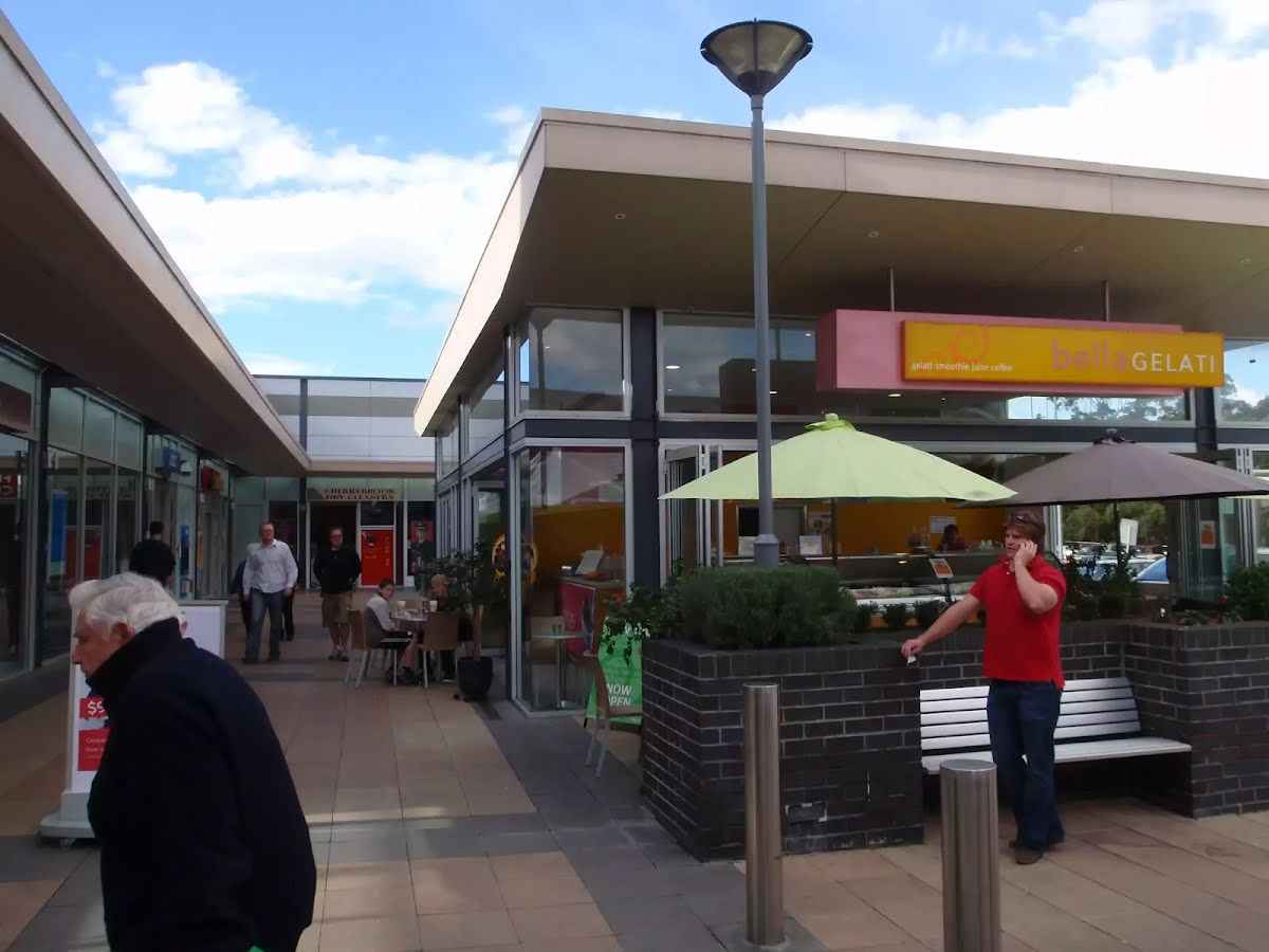
Cherrybrook Village shopping centre (about 95 m back from the start).
The Cherrybrook Village shopping centre is located at 41/47 Shepherds Drive, Cherrybrook. There are a number of local cafes and eateries here, plus some franchises such as Subway and Gloria Jeans, making a great stop for walkers. There is also a Woolworths supermarket. The centre is open 9:00-5:30 Mon-Wed & Fri, 9:00-9:00 Thu, 9:00-5:00 Sat and 10:00-4:00 Sun. Some of the cafes and eateries open directly outside so they may be open longer hours.

There is a car park (about 35 m back from the start).

After 70 m pass the playground (15 m on your right).
|
|
|

Continue straight.
|
|
|
After another 20 m continue straight.

After another 25 m pass the sign (on your right).
|
|
|
After another 20 m continue straight.
|
|
|
After another 40 m continue straight.
|
|
|

After another 9 m turn right.
|
|
|

After another 10 m turn left.

After another 20 m head through the tunnel (about 30 m long)
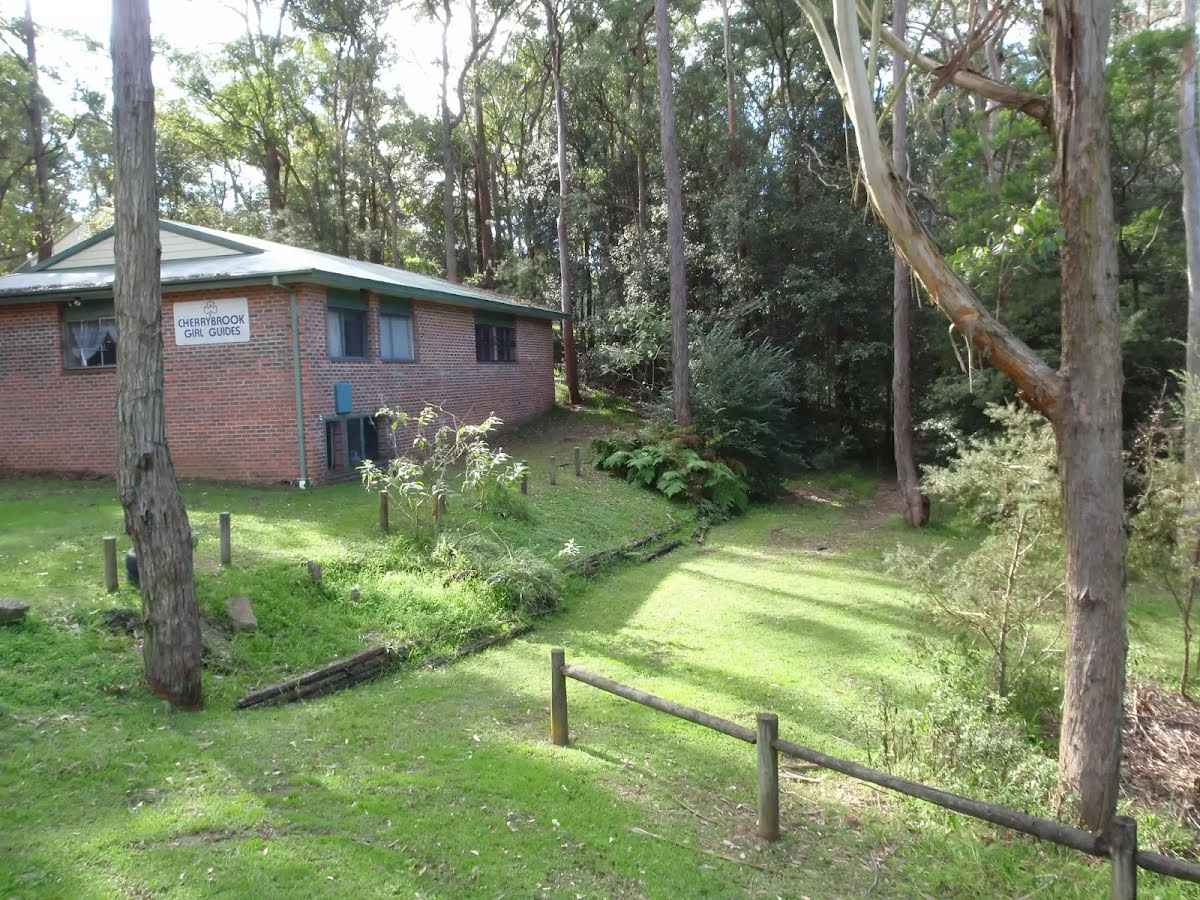
After another 45 m find the "Cherrybrook Girl Guides" (20 m on your left).
The Cherrybrook Girl Guides building is at the corner of Shepherds Dr and Macquarie Dr, Cherrybrook.
Then pass the car park (135 m on your left).

After another 410 m cross the stepping stones.
|
|
|
After another 155 m (at the intersection of McKinley Firetrail & Benowie Walking Track) continue straight, to head along McKinley Firetrail.
|
|
|
After another 40 m continue straight, to head along McKinley Firetrail.
|
|
|
After another 170 m turn left, to head along McKinley Firetrail.
|
|
|
After another 120 m (at the intersection of Pogson Firetrail & McKinley Firetrail) continue straight, to head along Schofield Firetrail.
|
|
|
After another 390 m (at the intersection of Schofield Firetrail & The Great North Walk) continue straight, to head along Schofield Firetrail.

After another 105 m cross the ford.
|
|
|

At the intersection of Schofield Firetrail & The Great North Walk veer right, to head along Schofield Firetrail.

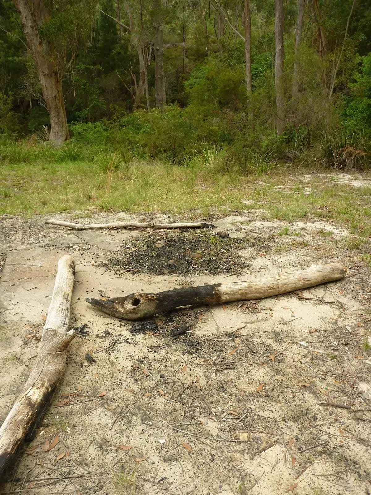
After another 20 m find the "The Jungo" (5 m on your right).
The Jungo is a relatively small clearing and campsite near the junction of Berowra and ZigZag Creeks at a well signposted intersection. There is often water in the creeks (treat well before drinking) but there are no facilities. Speculation on the source of the name 'Jungo' includes the Aussie tendency to abbreviate words ('Junction' gets corrupted to 'jung-o' etc) as well as a possible derivation from one of a few similar sounding aboriginal words.
After another 6 m pass the sign (8 m on your left).
|
|
|
After another 60 m continue straight.
After another 500 m continue straight.
|
|
|
After another 250 m continue straight.
|
|
|
After another 50 m turn right.
Then cross the ford (about 235 m long)
|
|
|
Continue straight.
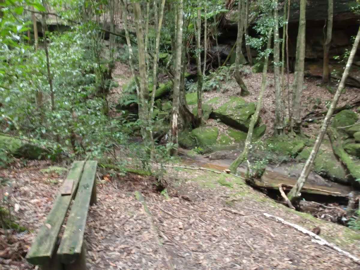
After another 380 m find the "Coachwood grotto" (15 m on your right).
This beautiful, shady spot is beside Nyrippin creek, on the Callicoma Walk near Cherrybrook. The 'grotto' is an open area, shaded by Coachwood trees, with a curved section of low cliffs across the creek, giving an 'amphitheatre' feeling. This is a very atmospheric spot to sit and relax for a while.
|
|
|
After another 420 m veer right.
After another 65 m cross the stepping stones.
|
|
|
After another 40 m continue straight.
|
|
|
After another 50 m turn left.

Then head up the steps (about 110 m long)
After another 185 m pass the sign (on your right).
Continue straight, to head along Macquarie Drive.
After another 10 m pass the park (10 m on your right).
|
|
|
At the intersection of Macquarie Drive & Gumnut Road turn left, to head along Gumnut Road (a residential road).
After another 250 m pass the park (30 m on your right).
|
|
|
At the intersection of Gumnut Road & Holly Road continue straight, to head along Gumnut Road.
|
|
|
After another 25 m turn right.

After another 15 m head through/around the gate.

After another 225 m pass a seat (on your left)., has a backrest.

Then head down the steps (about 15 m long)
After another 15 m head through/around the gate.
|
|
|
Turn right, to head along Tallowwood Avenue.
|
|
|
After another 55 m (at the intersection of Tallowwood Avenue & Sheoak Close) continue straight, to head along Tallowwood Avenue.
|
|
|
After another 110 m (at the intersection of Tallowwood Avenue & Ivy Place) turn left, to head along Ivy Place.
|
|
|
After another 105 m turn right.
|
|
|
After another 80 m turn left, to head along Rossian Place.
|
|
|
After another 15 m (at the intersection of Glentrees Place & Rossian Place) turn right, to head along Glentrees Place.
|
|
|
After another 90 m (at the intersection of Kenburn Avenue & Glentrees Place) turn left, to head along Kenburn Avenue.
|
|
|
After another 6 m (at the intersection of Wattle Way & Kenburn Avenue) continue straight, to head along Kenburn Avenue.
|
|
|
After another 30 m (at the intersection of Kenburn Avenue & Boronia Court) continue straight, to head along Kenburn Avenue.
|
|
|
After another 50 m turn right.

After another 45 m cross the bridge (about 15 m long)
|
|
|
After another 60 m continue straight.
Then cross the bridge (about 35 m long)
|
|
|
After another 8 m continue straight.
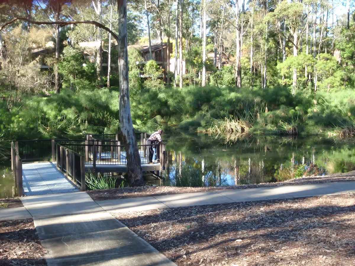
After another 10 m find the "The Lakes Of Cherrybrook" (on your left).
The Lakes Of Cherrybrook is a park at the intersection of Shepherds Dr and Macquarie Dr, Cherrybrook. The lakes featured in the park were formed when the local creek was dammed for the benefit of farmers. The park has a free electric BBQ, sheltered picnic tables, taps and bubblers as well as a playground for the kids. There is a large shopping centre nearby. There are several signposted buswalks in the area, including the 5.1km 'Callicoma Walk' loop track.
|
|
|
Continue straight.
|
|
|

After another 30 m come to the end.
|