


| Start | At the intersection of Nellies Glen Road & Great Western Highway (-33.7040364,150.2913232) |
| Mode | Bus Car (There is free parking available.) |
| Directions | From Parke Street, BMD, Katoomba.
|
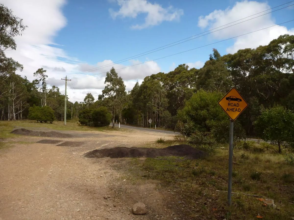
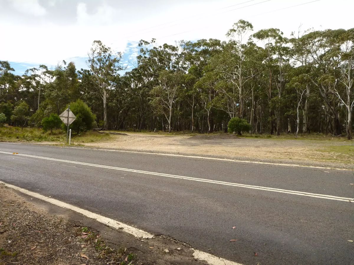
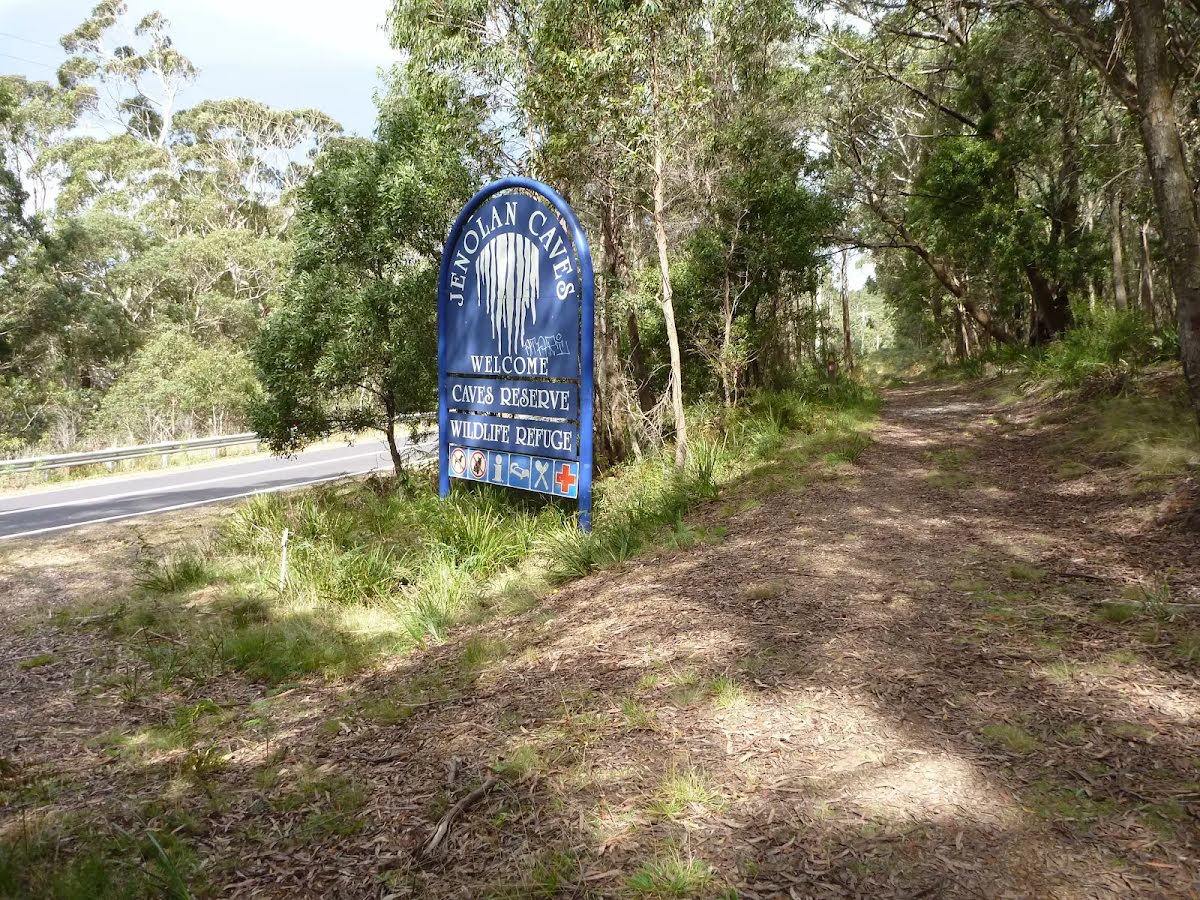
| Finish | At the intersection of Jenolan Caves Road & Six Foot Track (-33.8203805,150.0209901) |
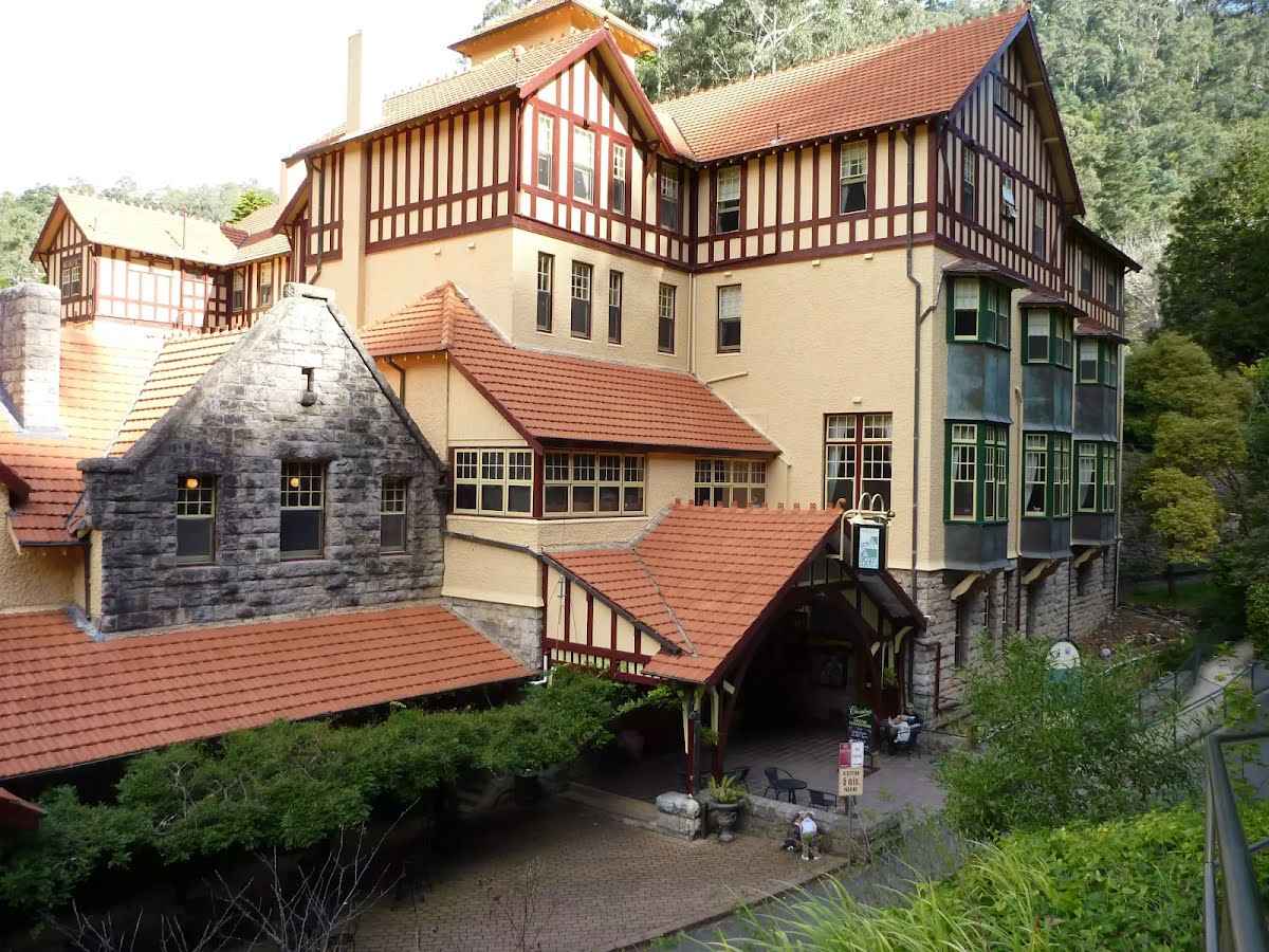
| Mode (end) | Car Shuttle Bus Car (There is free parking available.) Special ( * There’s no public transport to or from Jenolan Caves. If you plan to finish this walk at Jenolan, please arrange your own transport. * Access to Jenolan is via Edith Road (2-Mile Road) only. This road is only suitable for vehicles smaller than a 12-seat minibus. * A minibus shuttle service can be arranged between Jenolan and the pick-up point for larger buses. The shuttle takes you to Kanangra Walls Road turnoff where you can meet your pre-arranged transport. Bookings can be made at Jenolan Caves House reception. Contact the Jenolan Caves office before you hike on 1300 76 33 11 to confirm cost and availability. * Driving access to Jenolan Cottages is unchanged. * Driving access to Jenolan Caves & Hotel (at the western end of the Six Foot Track) is currently by a signposted detour. The detours starts on Jenolan Caves Rd by turning right onto Duckmaloi Rd. After nearly 21 km, turn left onto Titania Rd, then after another 4.3 km, turn left onto Edith Rd. After another 18 km, you will come to a well-signposted stop gate, wait (for about 20 minutes) for the Transport NSW escort vehicle that you will then follow as you drive the final 3 km of narrow road to the Jenolan car parking area. From the car park, there is a 500m downhill walk to the caves and hotel. ) |
| Turn map | Directions & comments |
|---|---|
 |
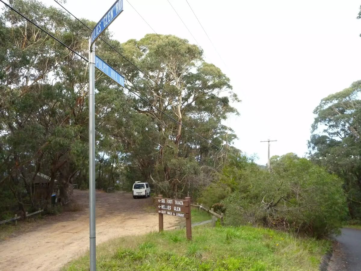
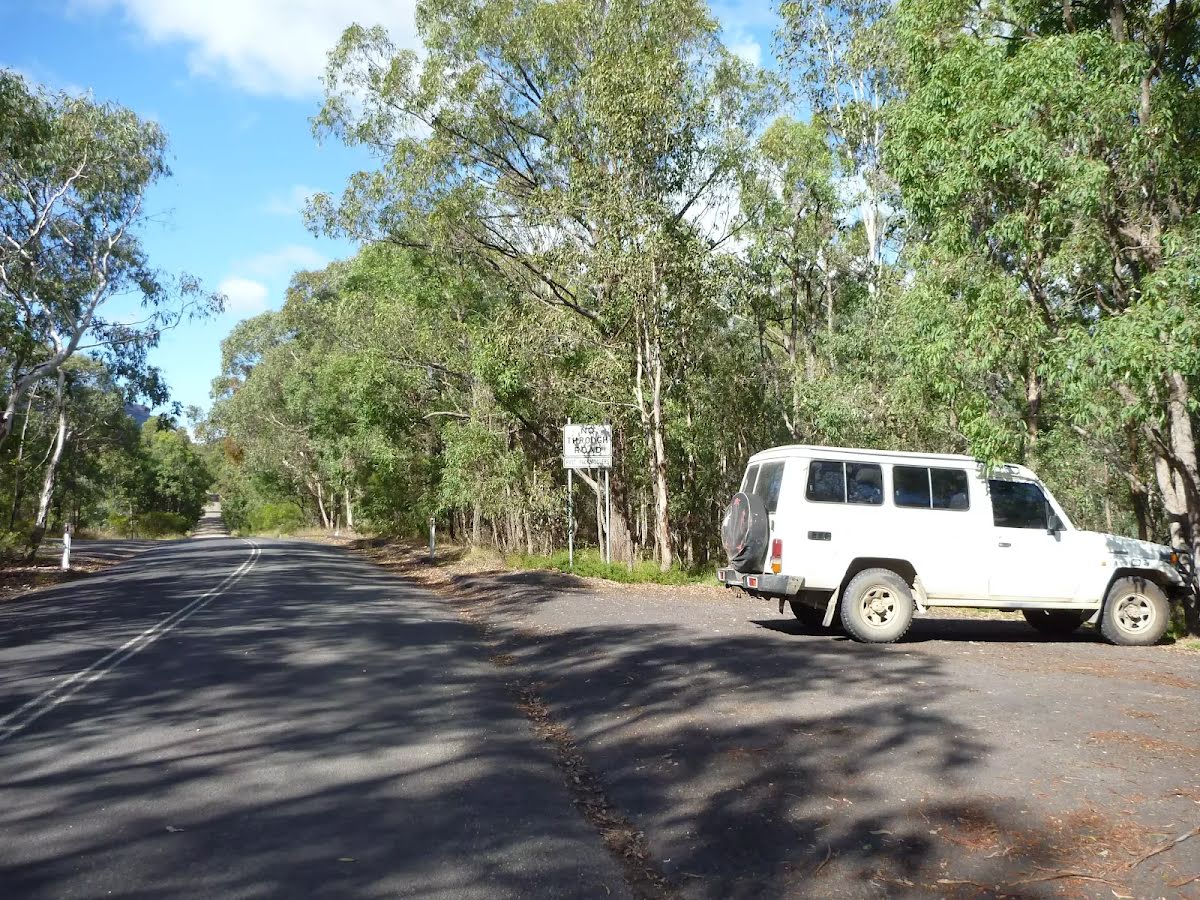
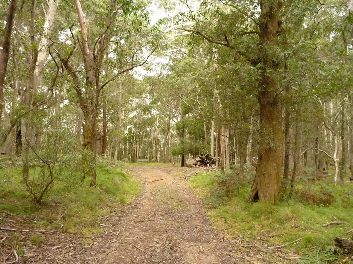
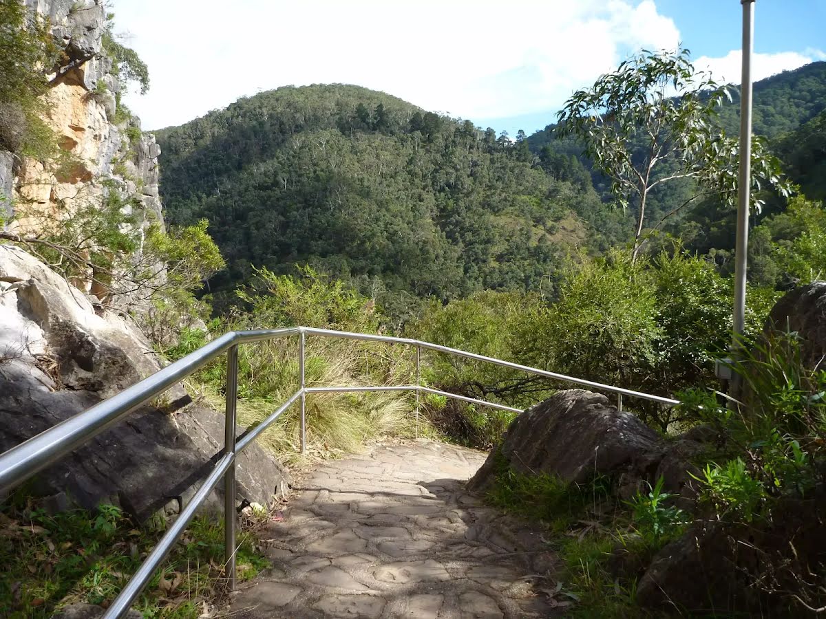
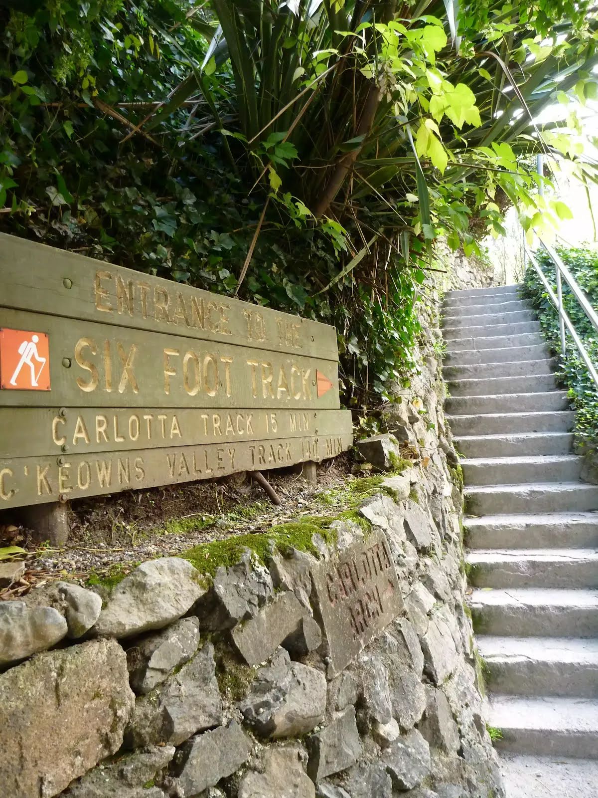
At the intersection of Nellies Glen Road & Great Western Highway Start heading along Nellies Glen Road (a residential road).
|
 |
|
 |
|
 |
|
 |
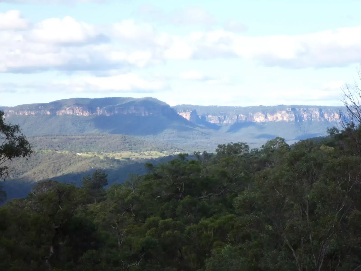
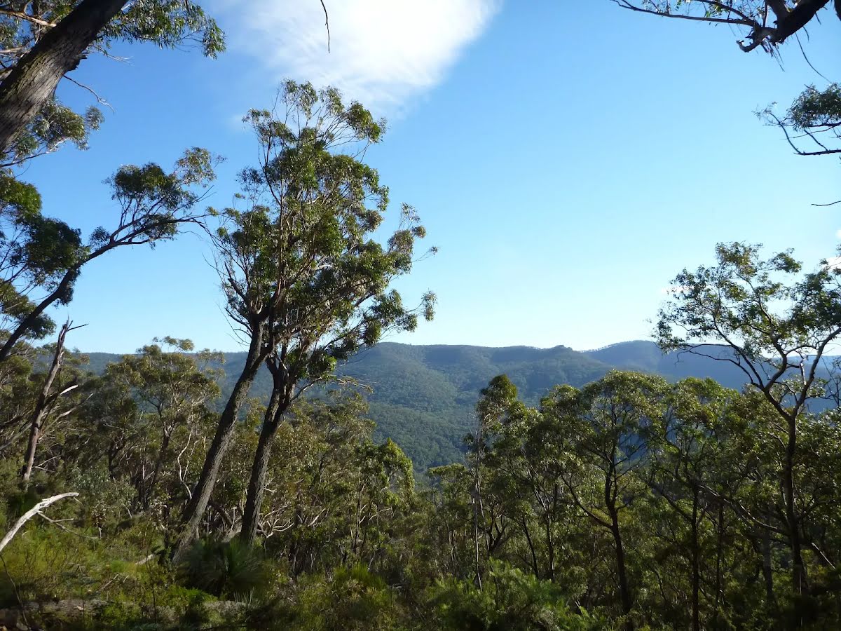
The starting point of an optional sidetrip. An optional side trip to Norths Lookout. To start this optional side trip continue straight here. On returning from this side trip turn left when you get back to this intersection. Details below.
|
 |
|
 |
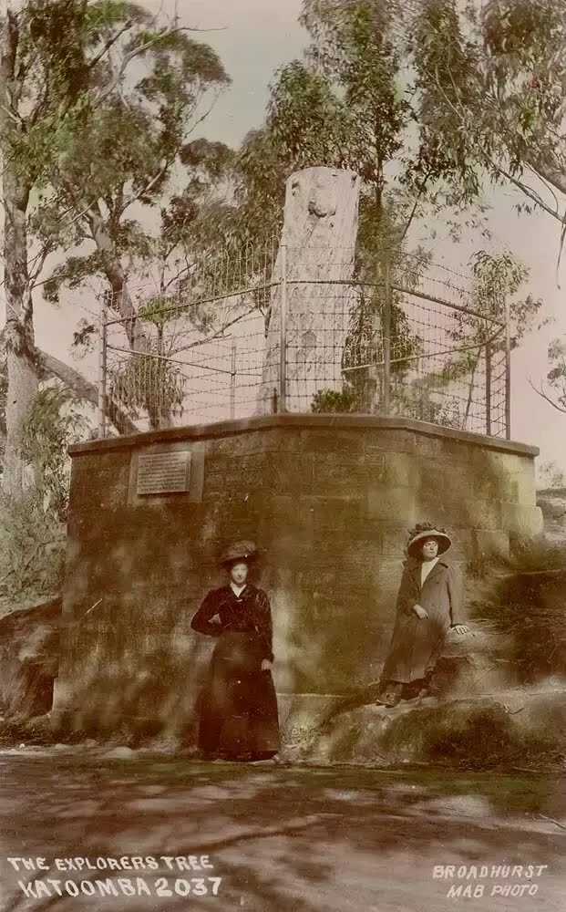
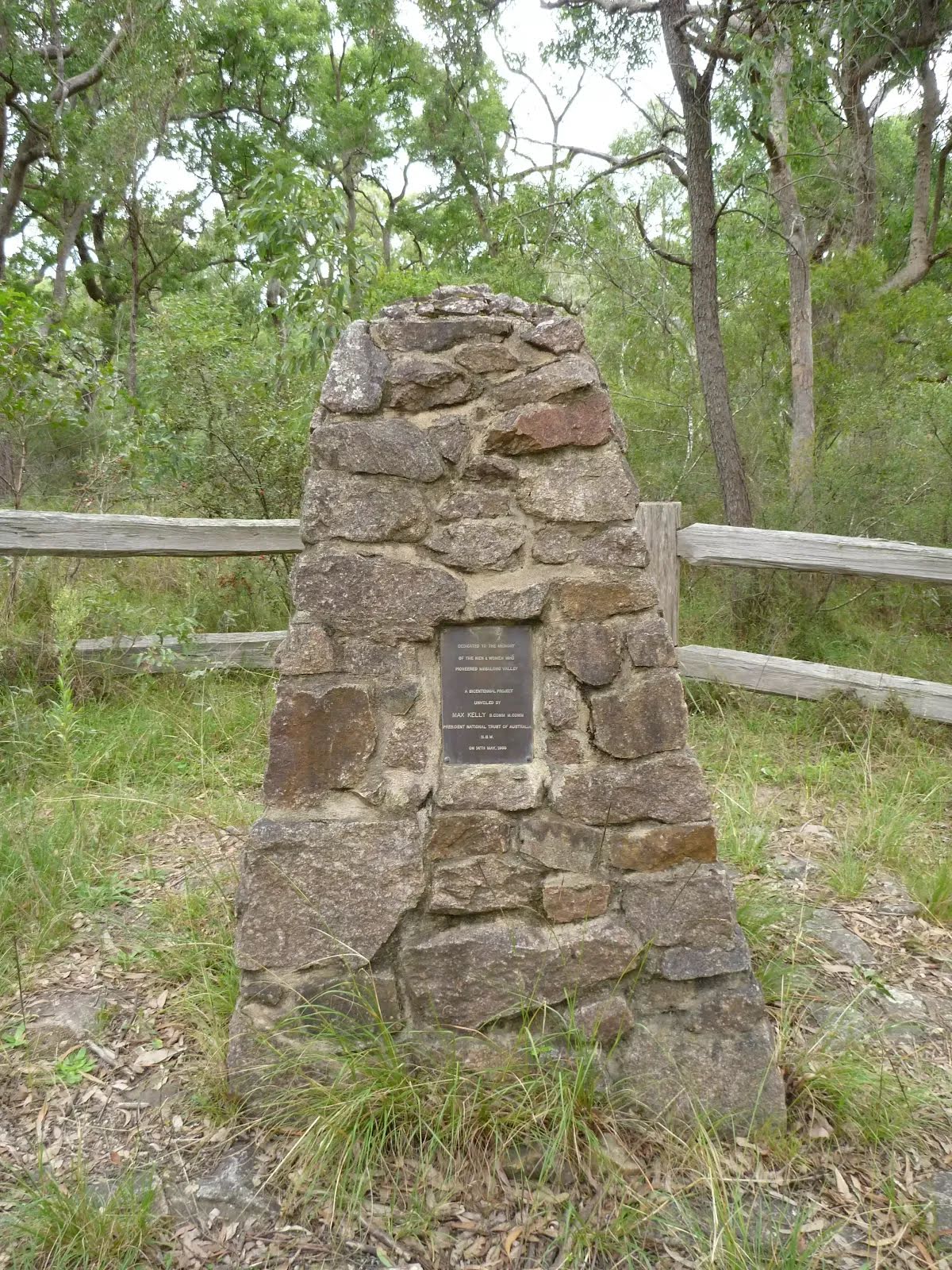
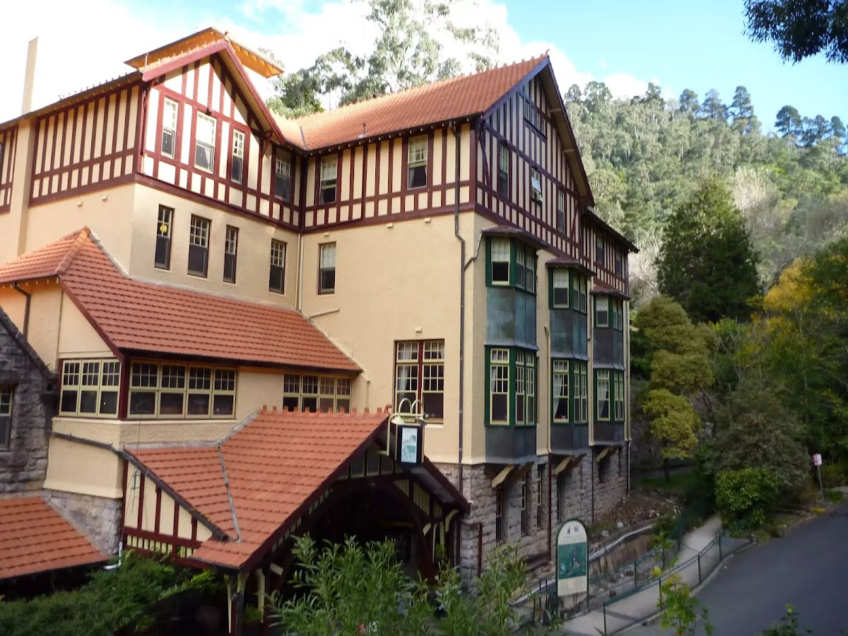
After another 110 m find the "Megalong Village (Historic)" (15 m on your left).
|
 |
|
 |
|
 |
|
 |
|
 |
|
 |
|
 |
|
 |
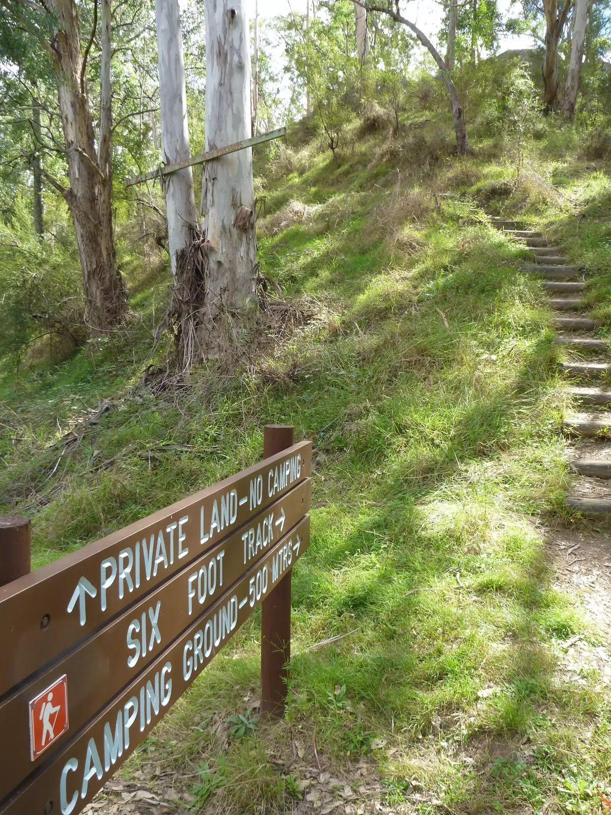
The starting point of an optional sidetrip. Side trip to Old Ford Reserve camping and picnic area where you can spend the night. To start this optional side trip turn right here. On returning from this side trip turn right when you get back to this intersection. Details below.
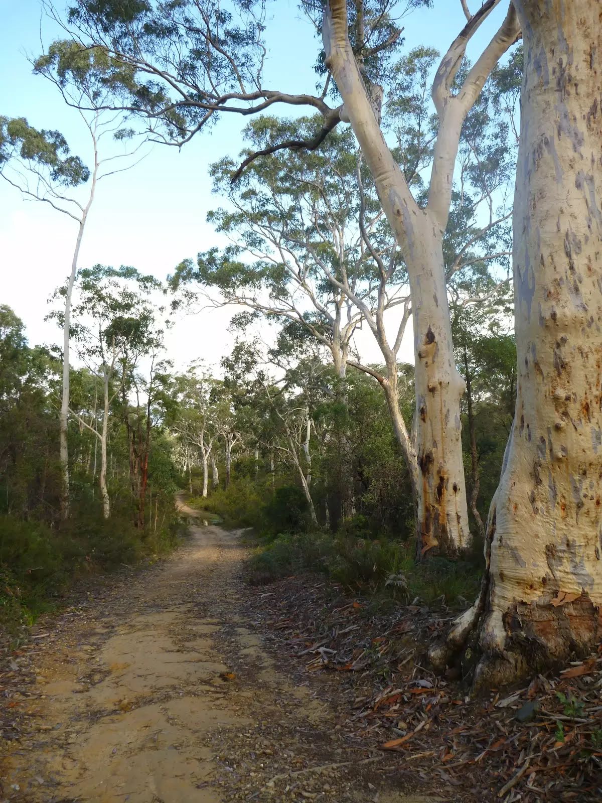
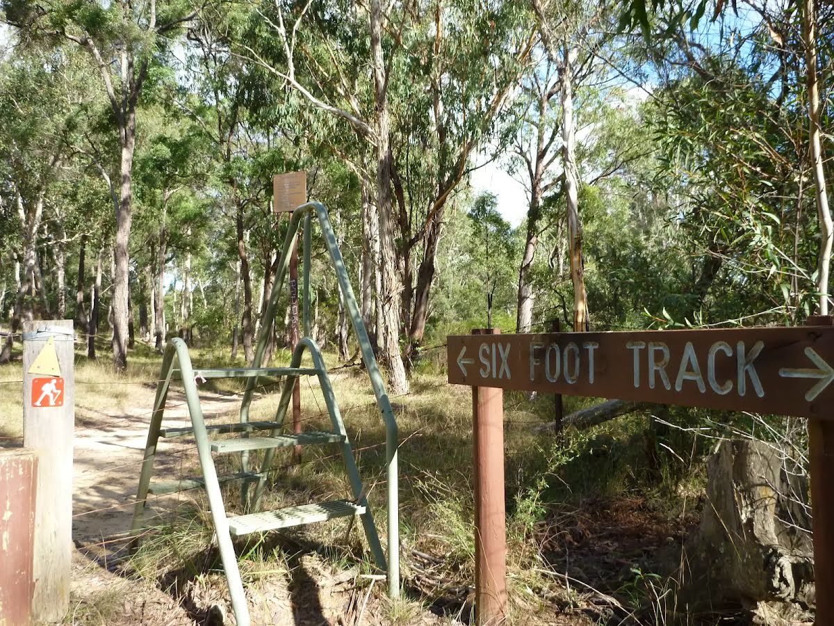
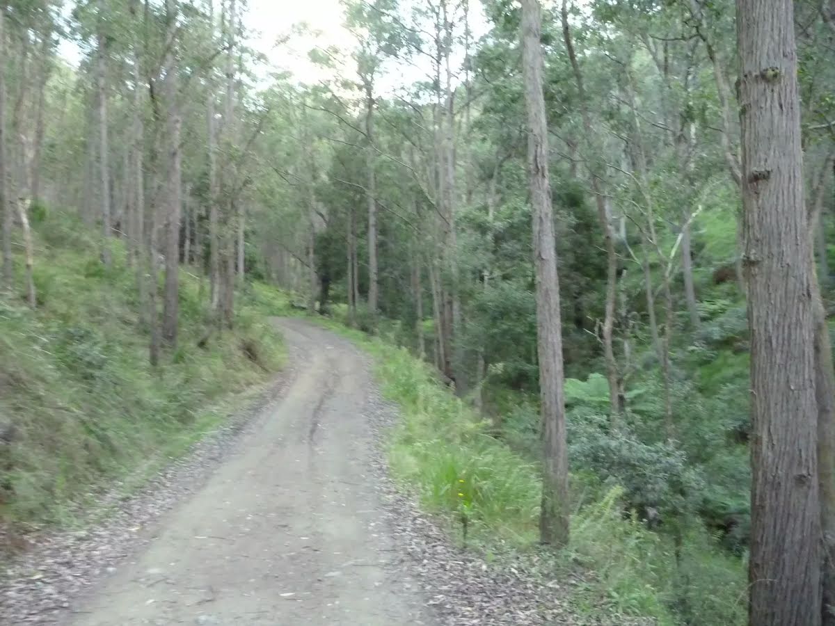
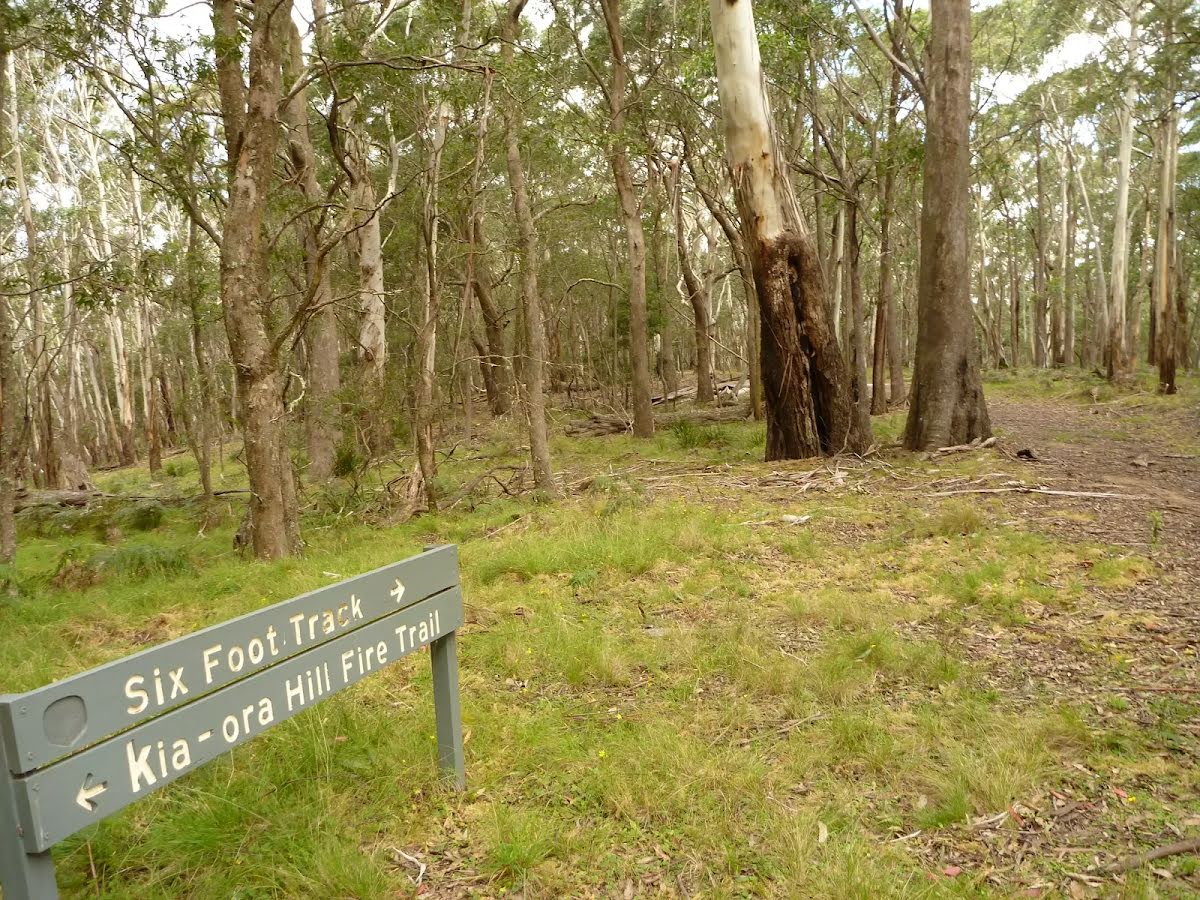
At the intersection of Six Foot Track Road & Megalong Road continue straight, to head along Six Foot Track Road (a vehicle track).
|
 |
|
 |
|
 |
|
 |
|
 |
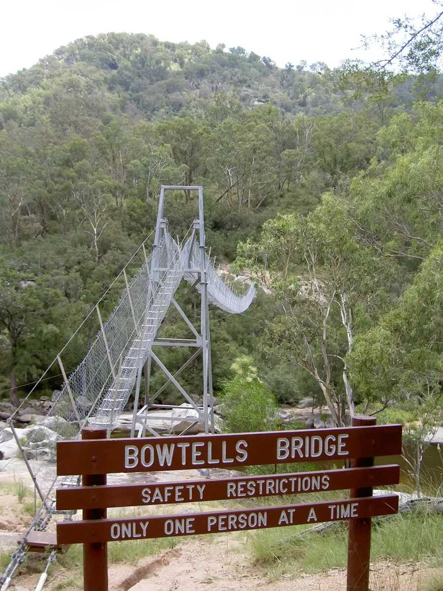
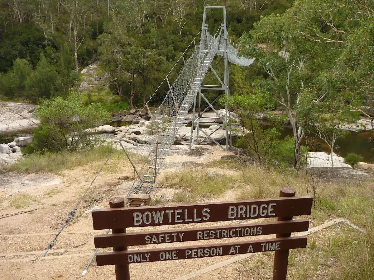
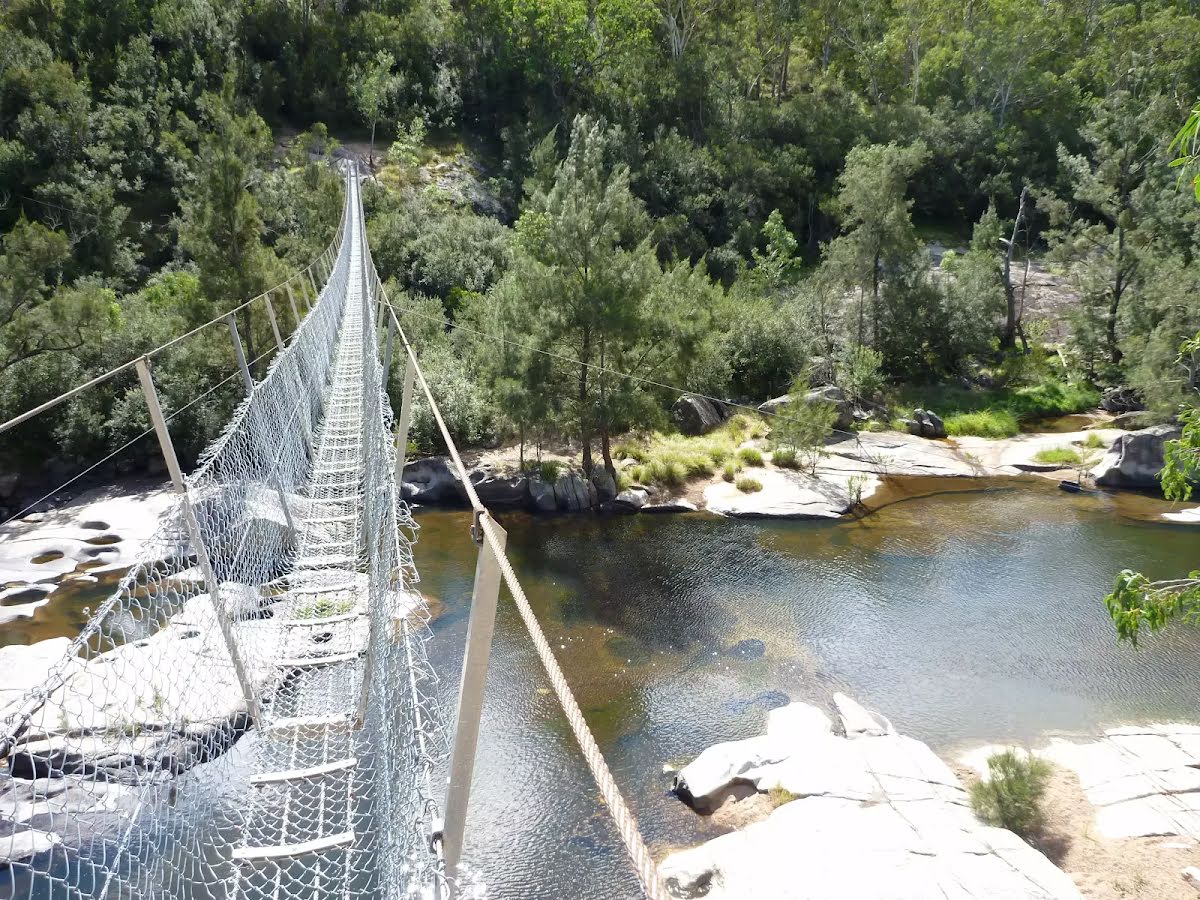
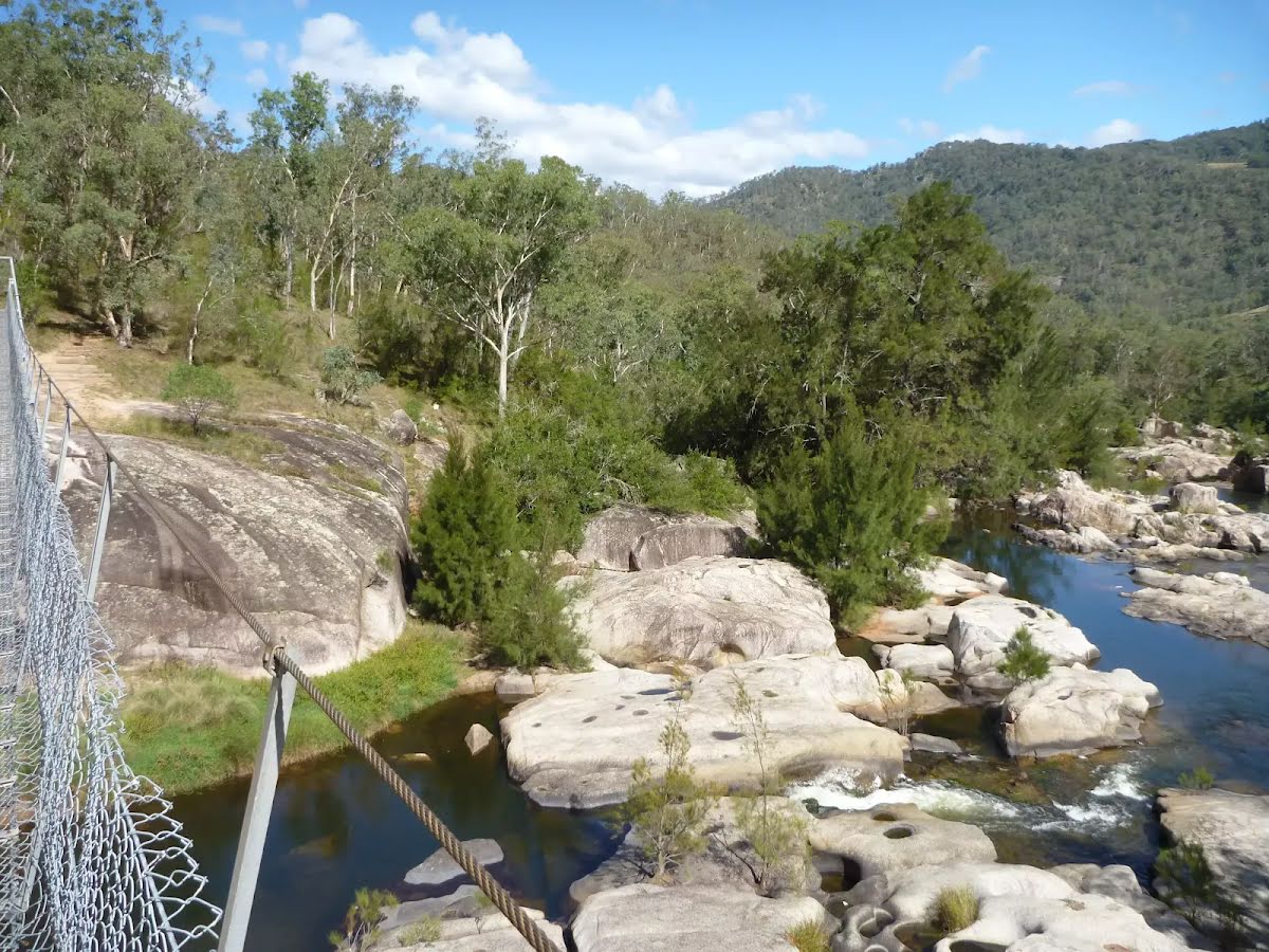
The starting point of an alternate route. An alternative route linking Bowtells Swing Bridge to Coxs River Campsite. To take the alternate route continue straight here. Details below.
|
 |
|
 |
|
 |
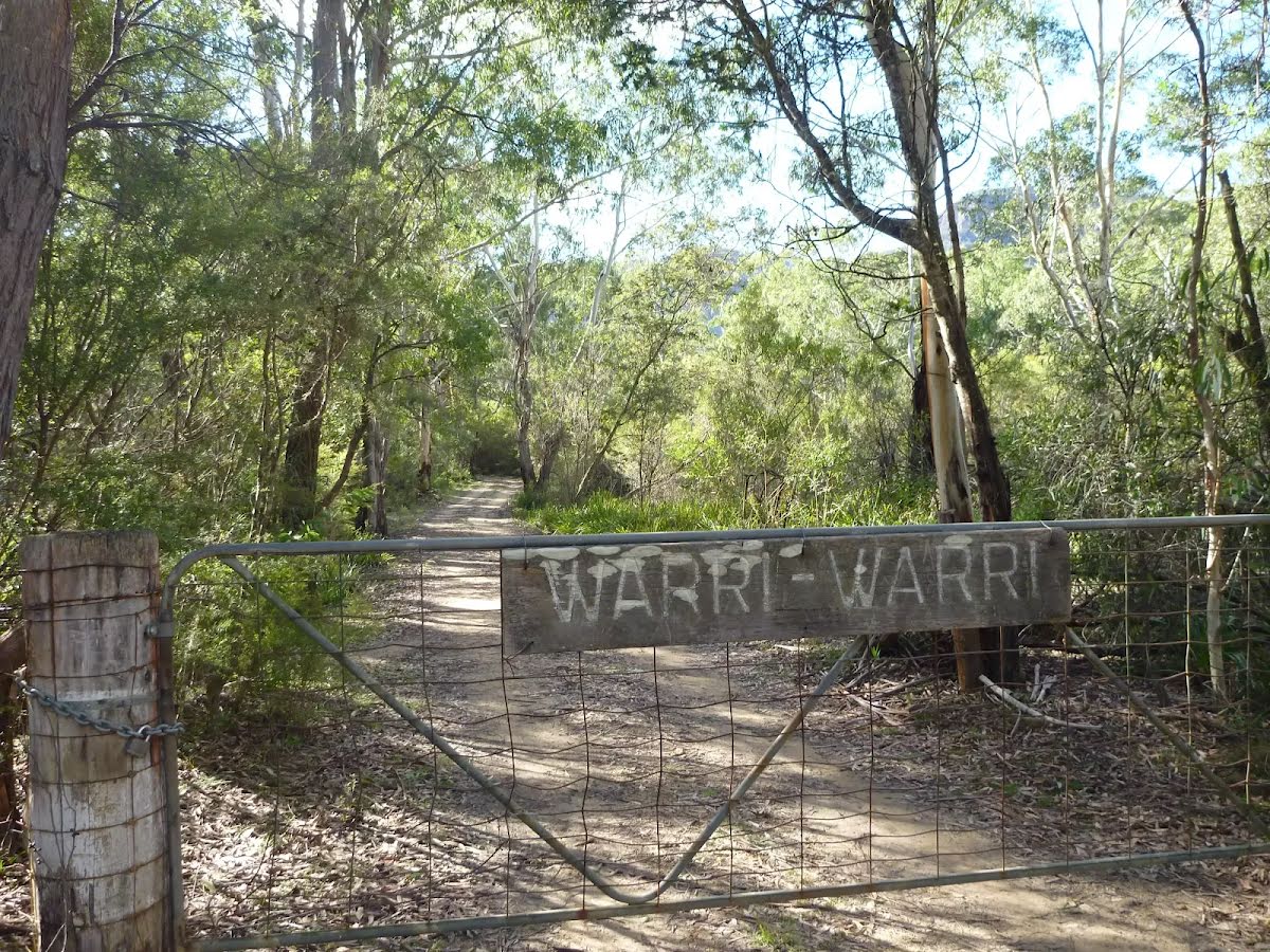
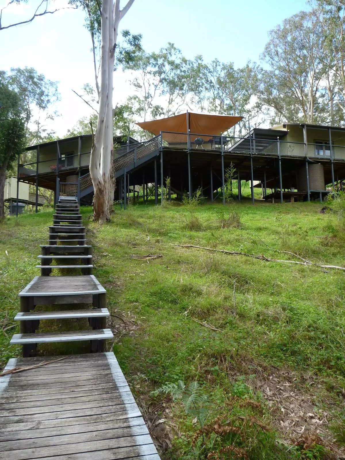
Then find the "Six Foot Track Lodge" (20 m on your right).
|
 |
|
 |
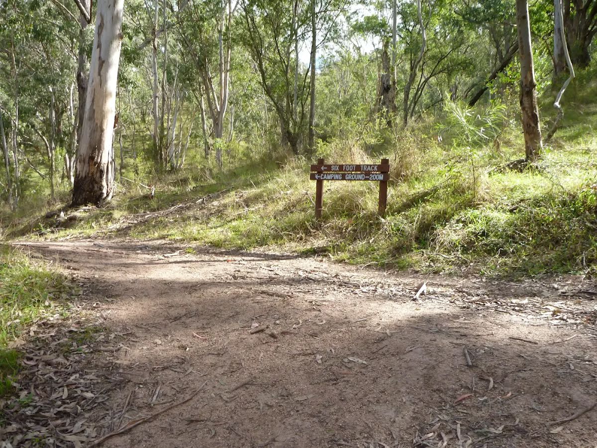
After another 30 m find the "Coxs River Camping Area" (25 m on your right).
|
 |
The alternate route finishes here. Turn left to rejoin the main route at the 15.5 km waypoint. Details below.
|
 |
|
 |
|
 |
|
 |
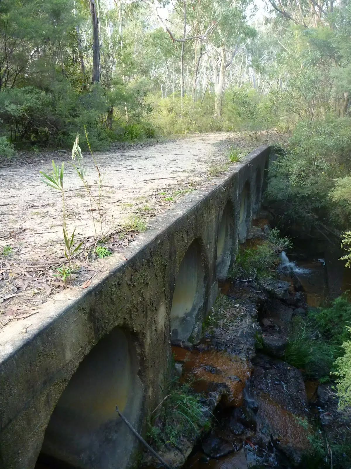
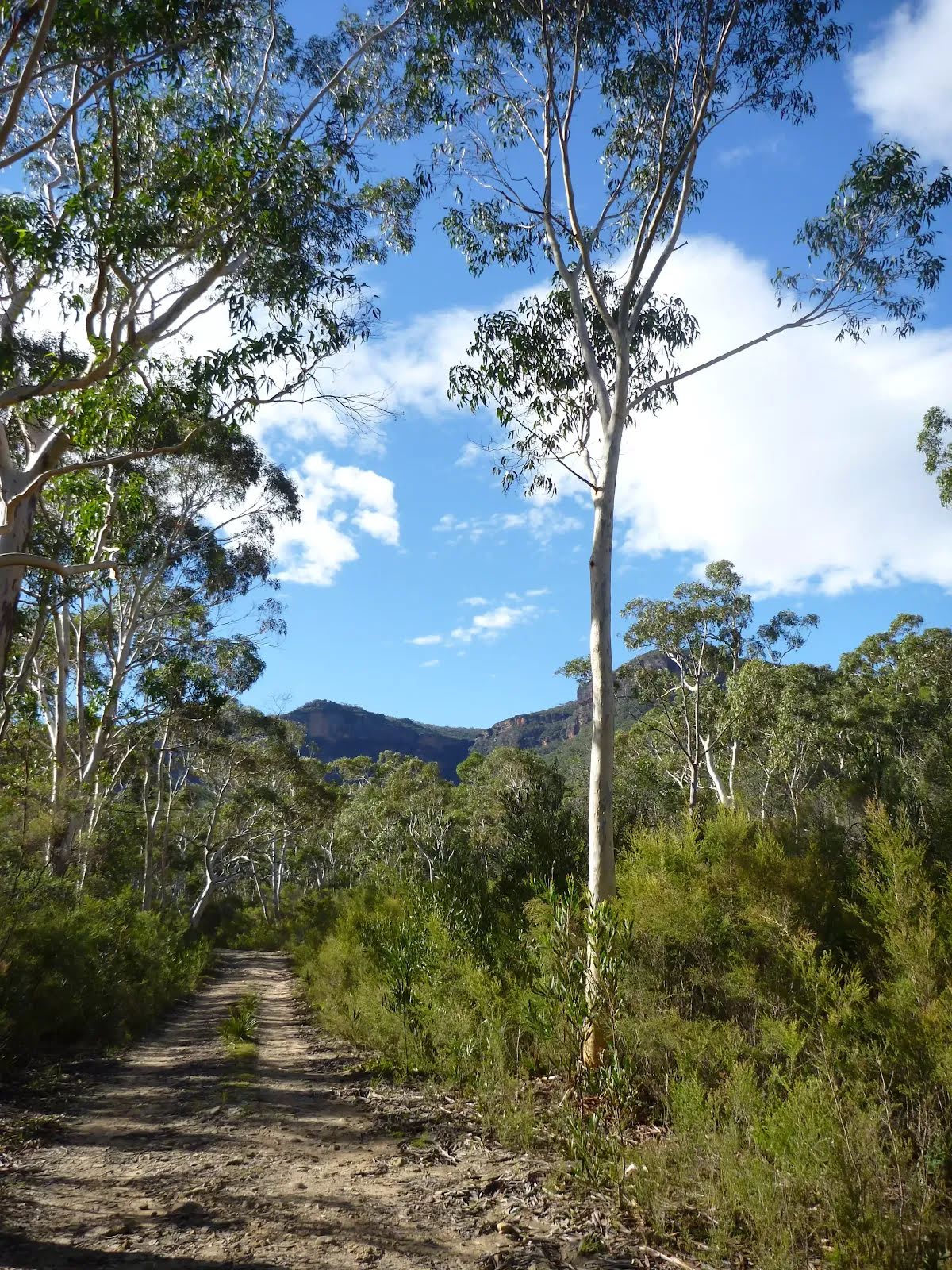
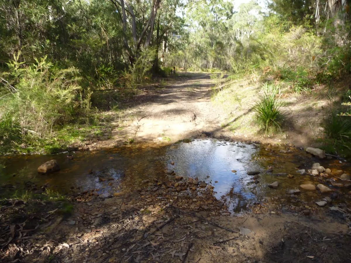
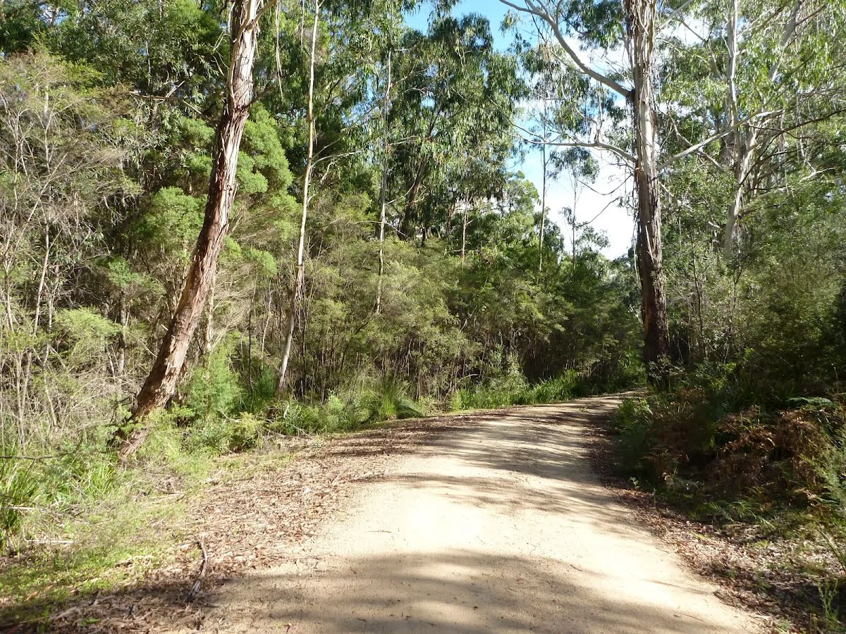
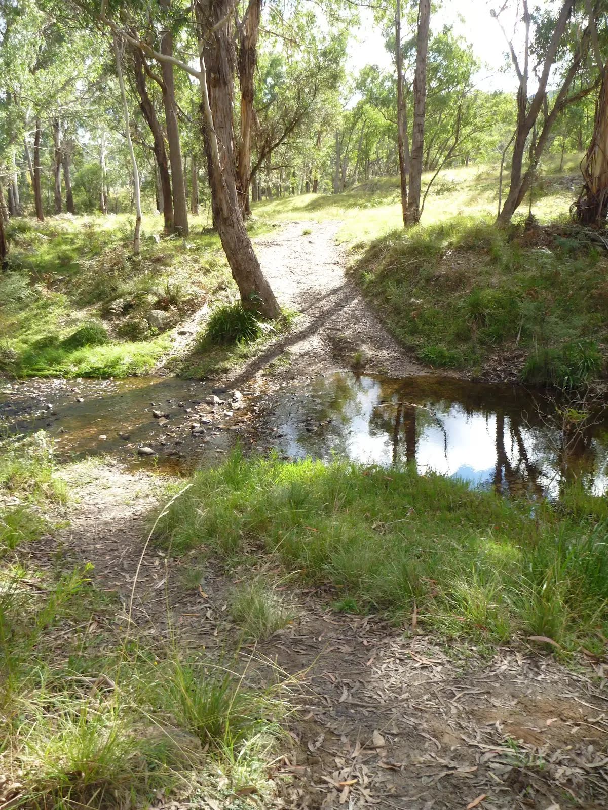
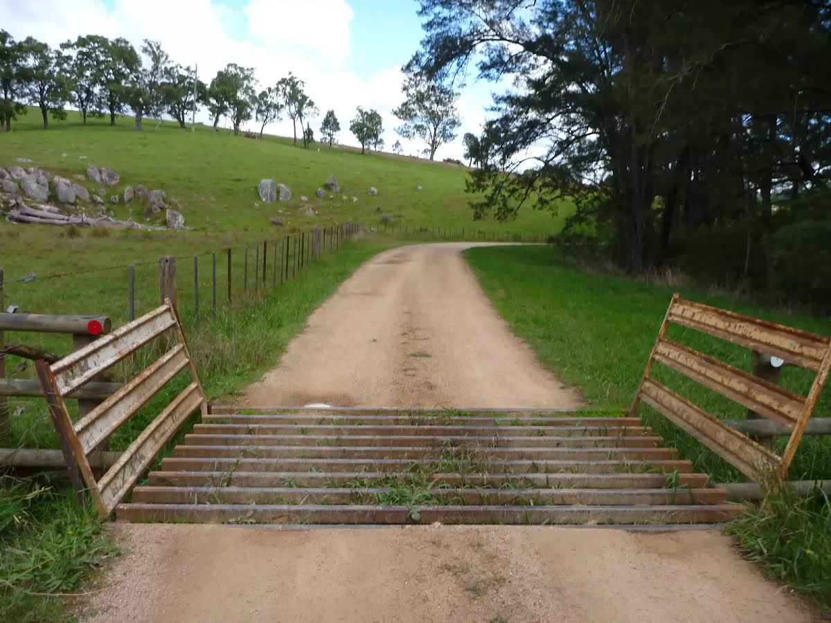
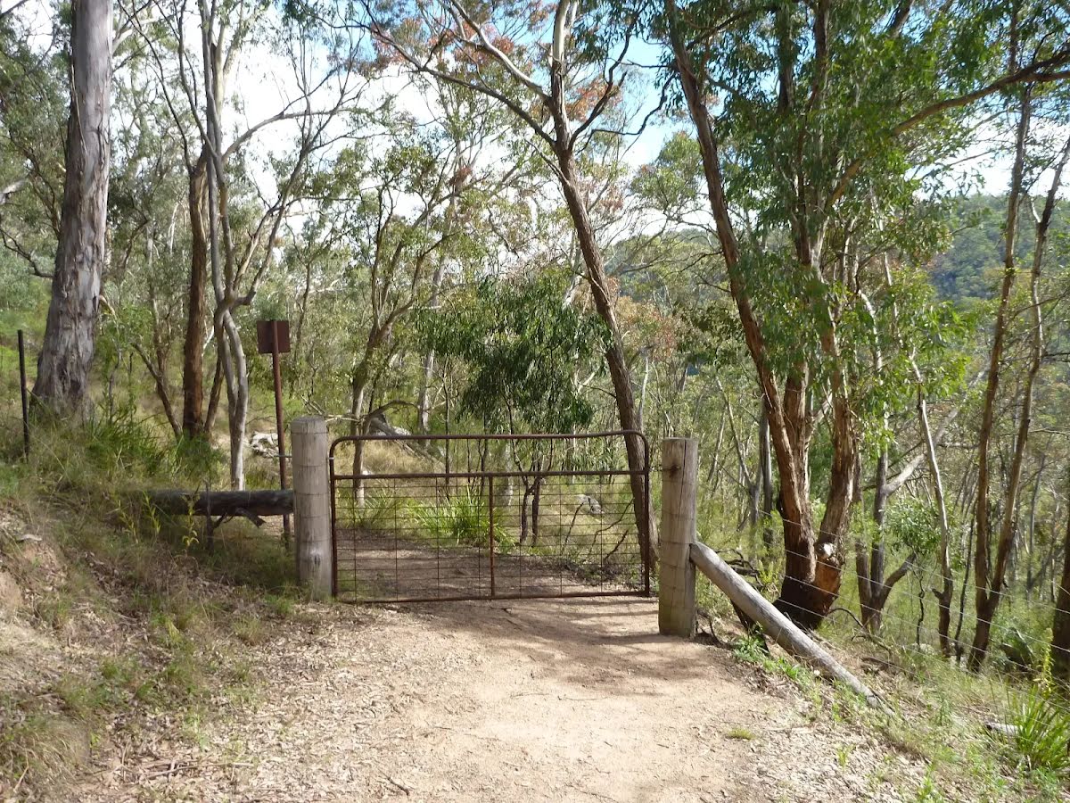
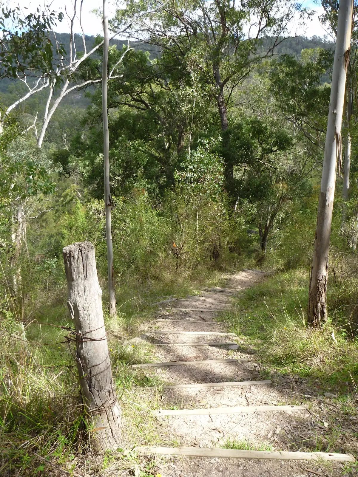
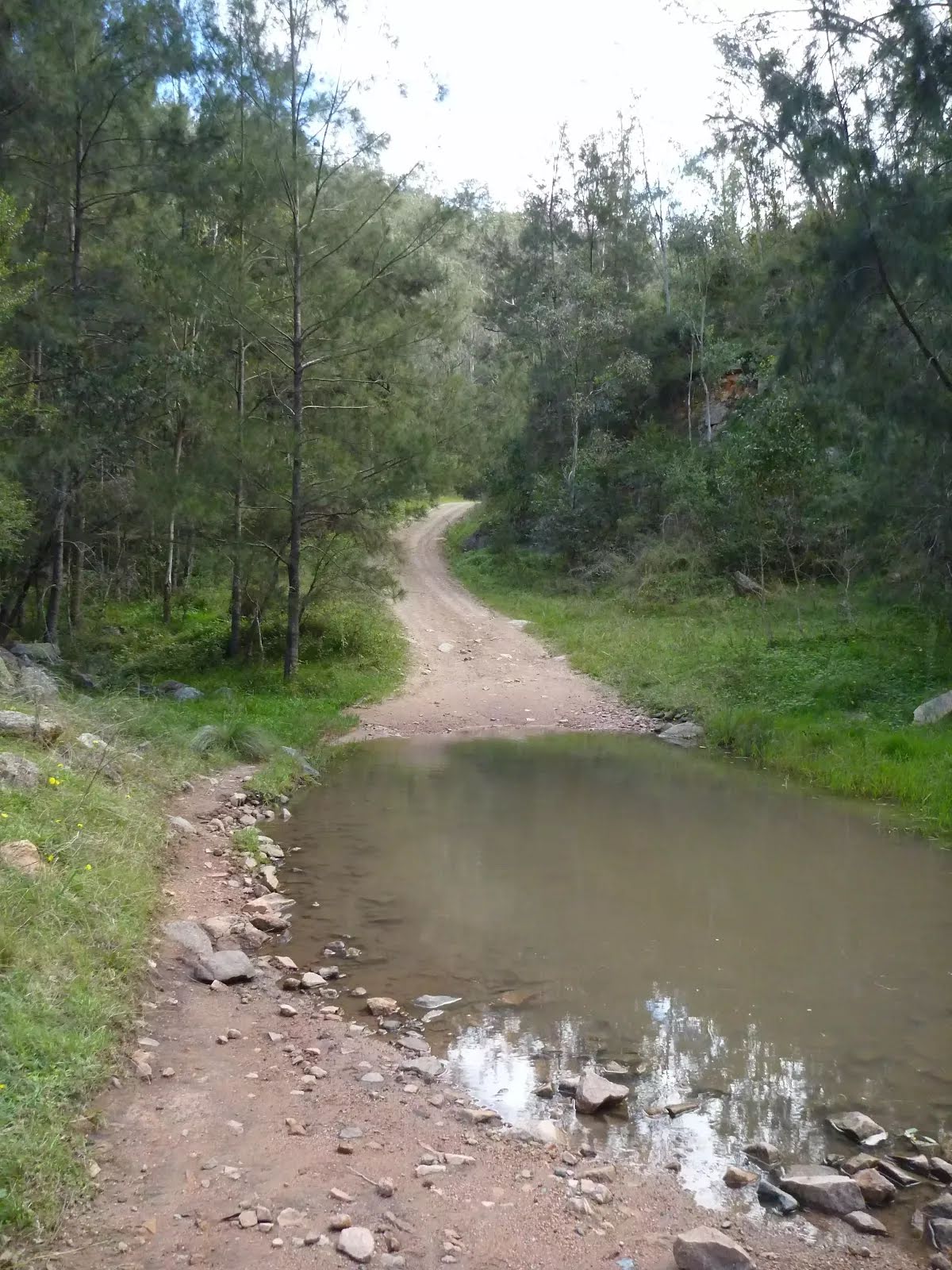
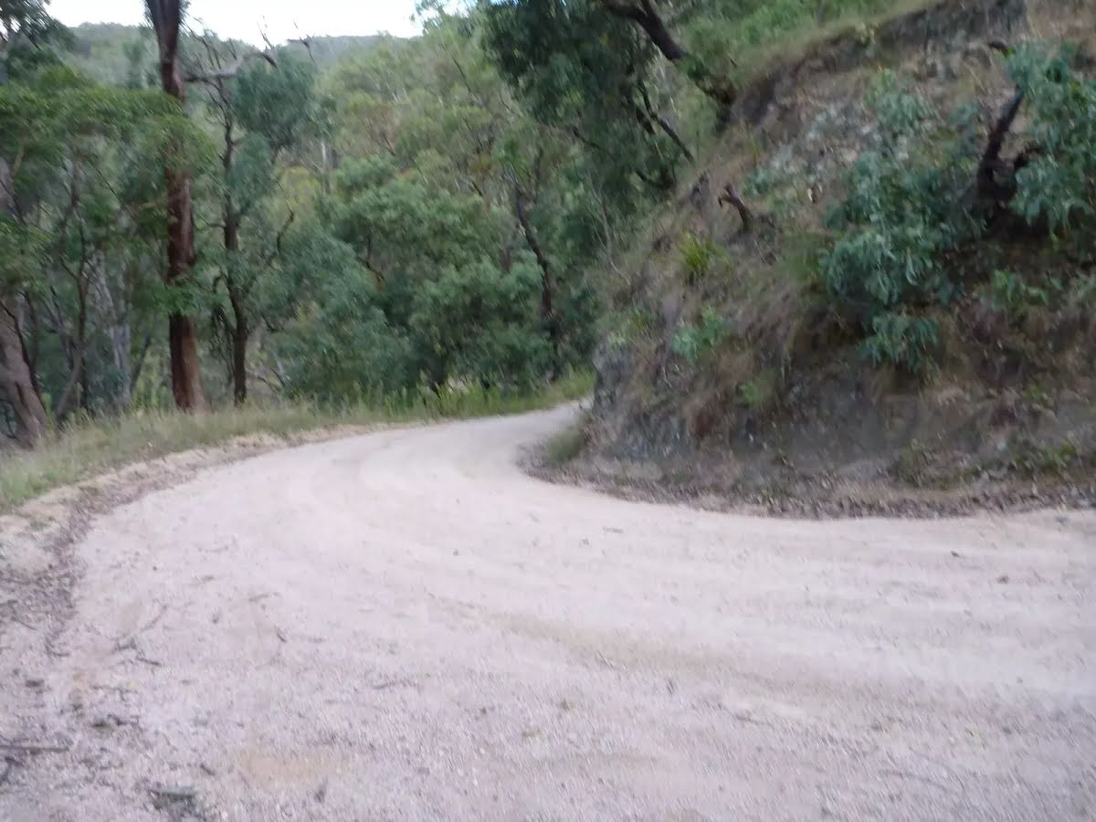
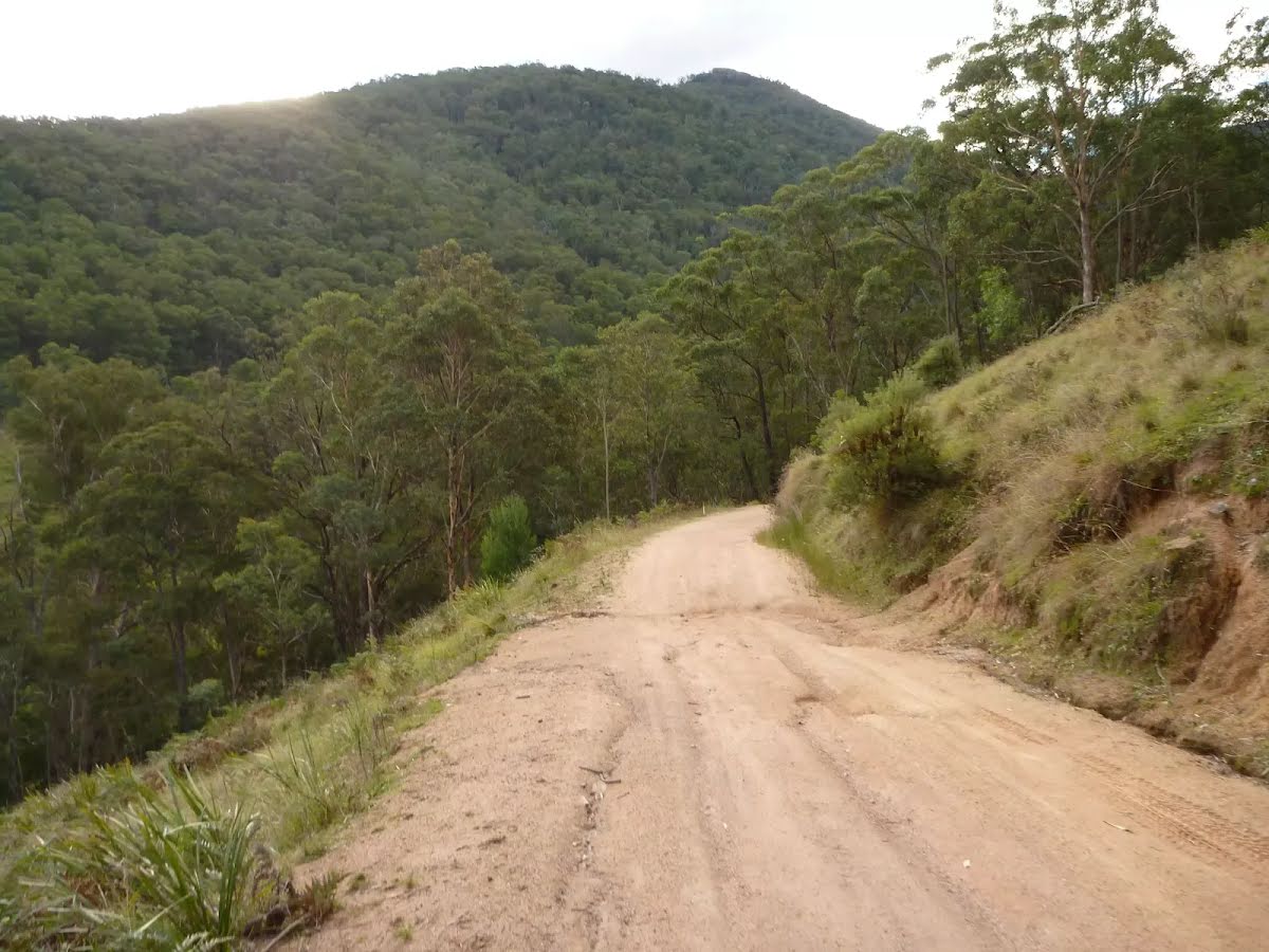
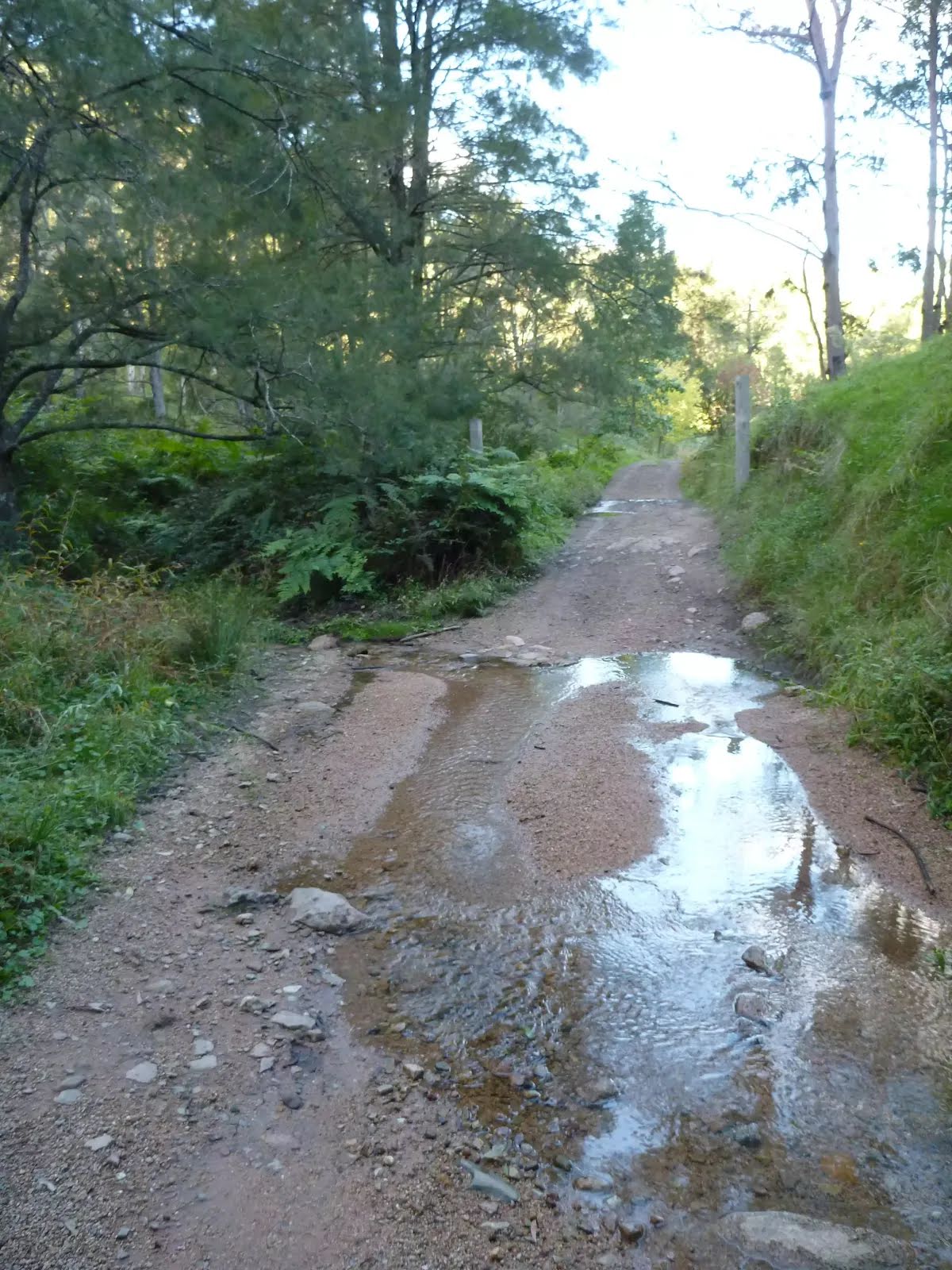
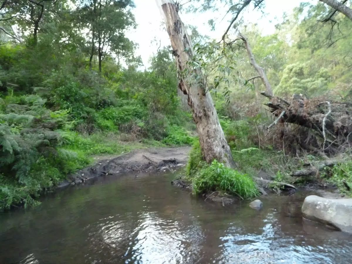
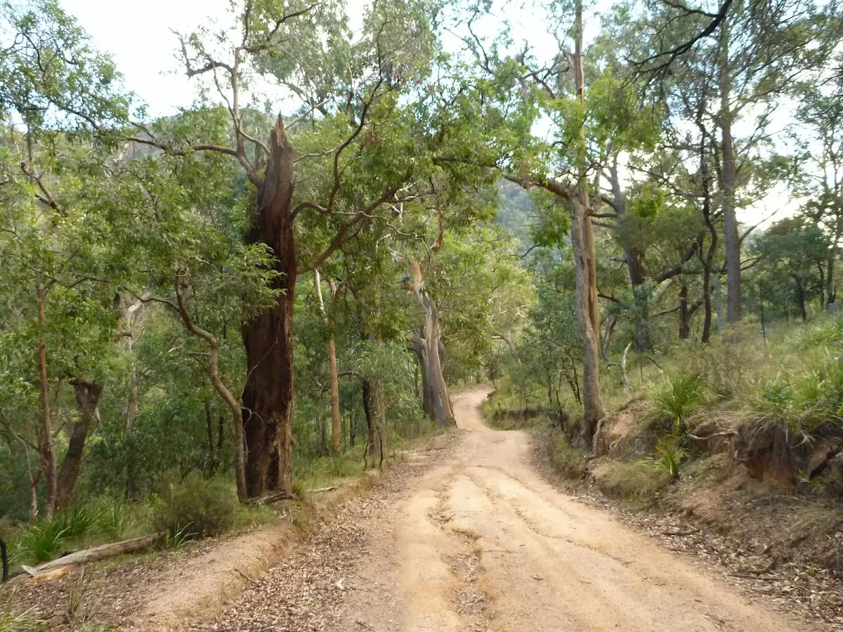
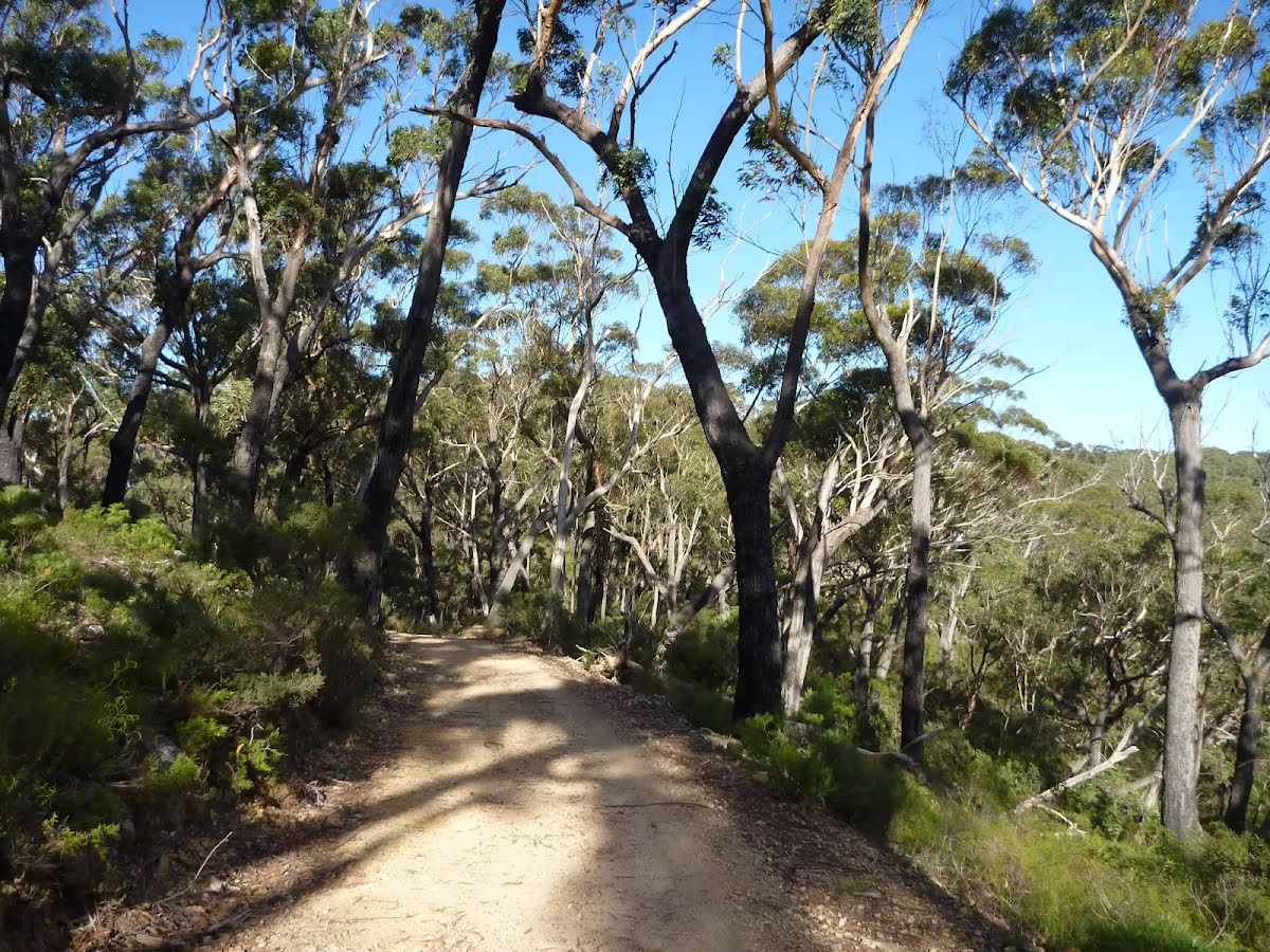
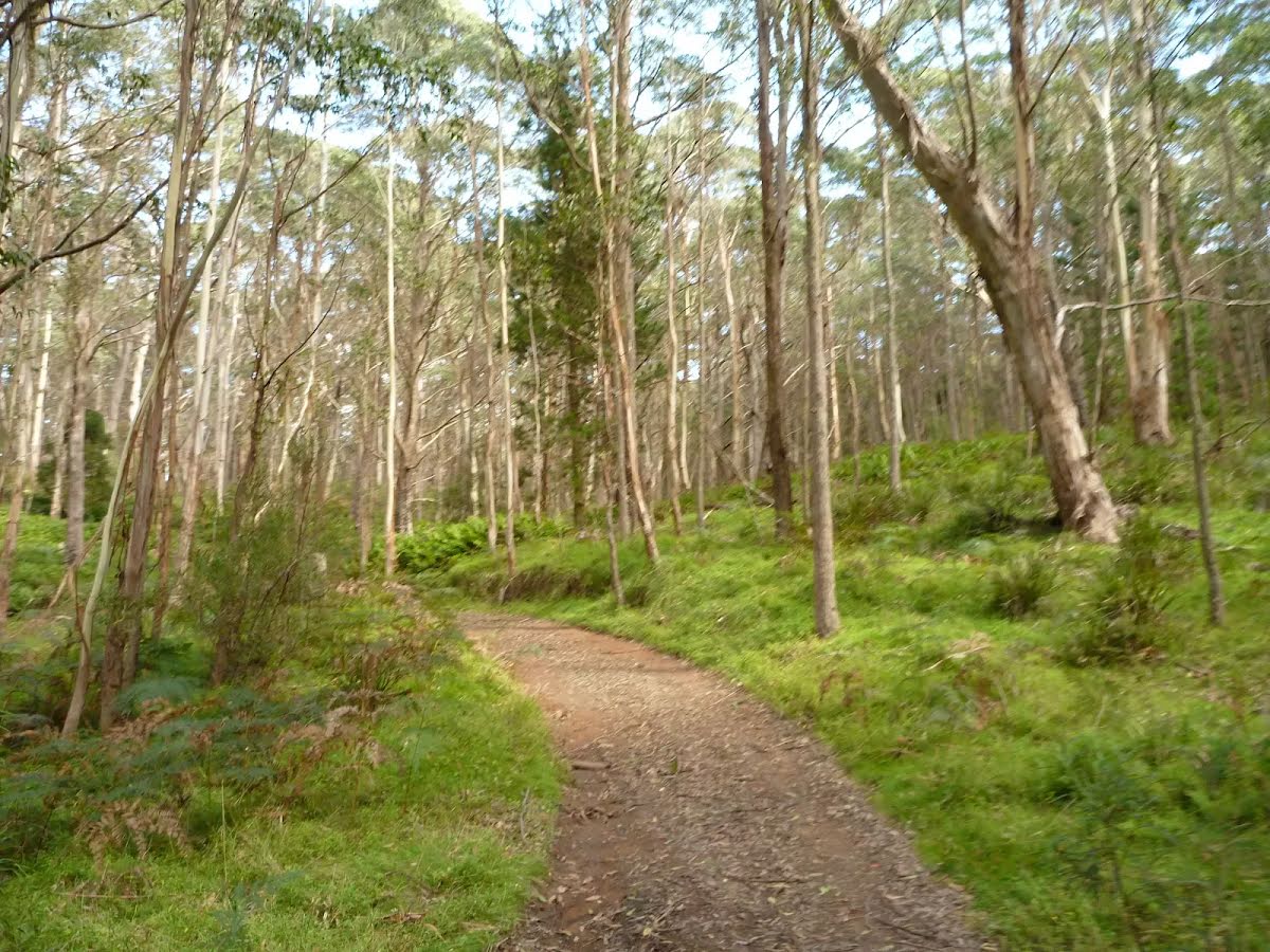
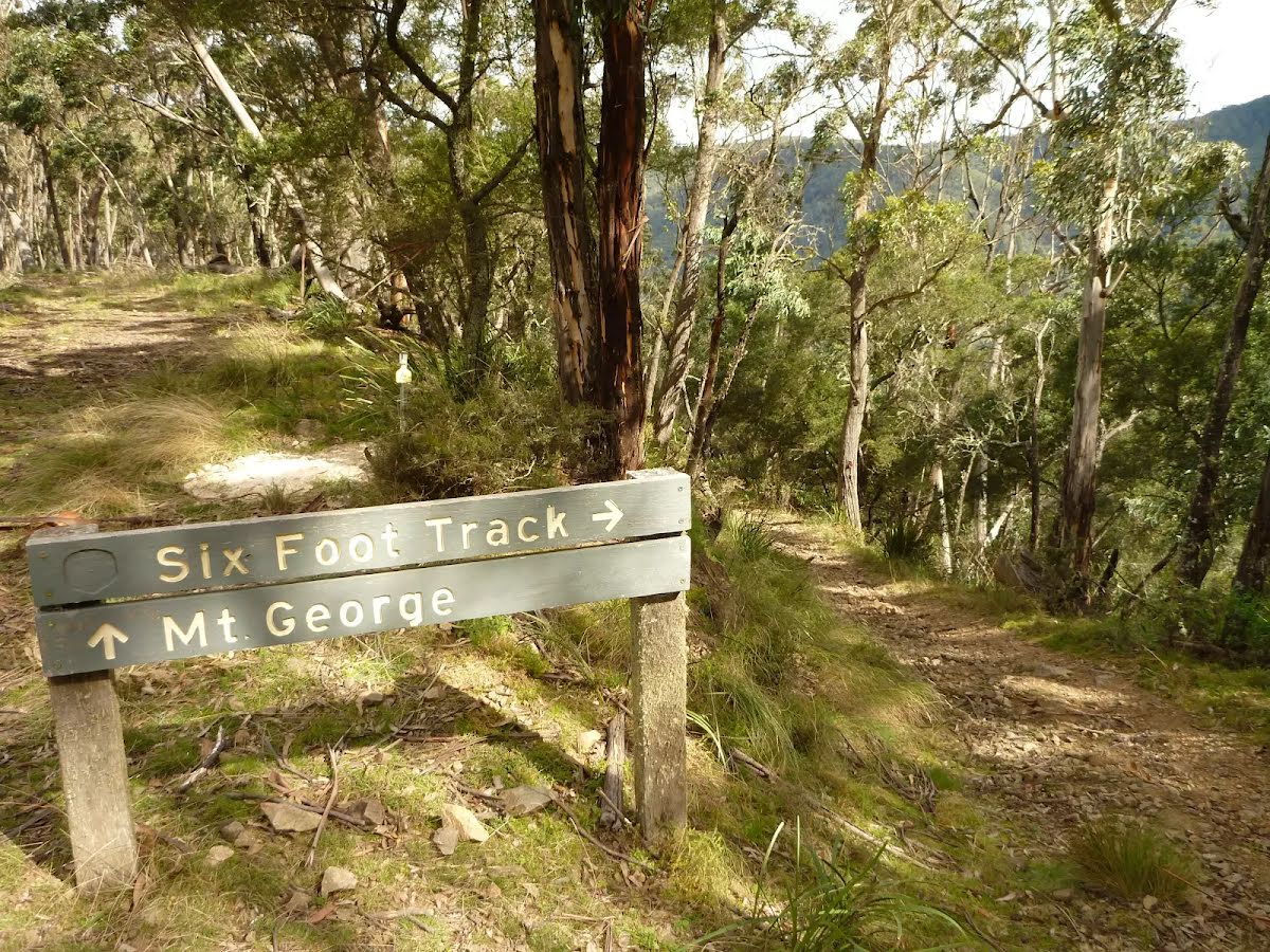
At the intersection of Six Foot Track & Gibraltar Creek continue straight, to head along Six Foot Track.
|
 |
|
 |
|
 |
|
 |
|
 |
|
 |
|
 |
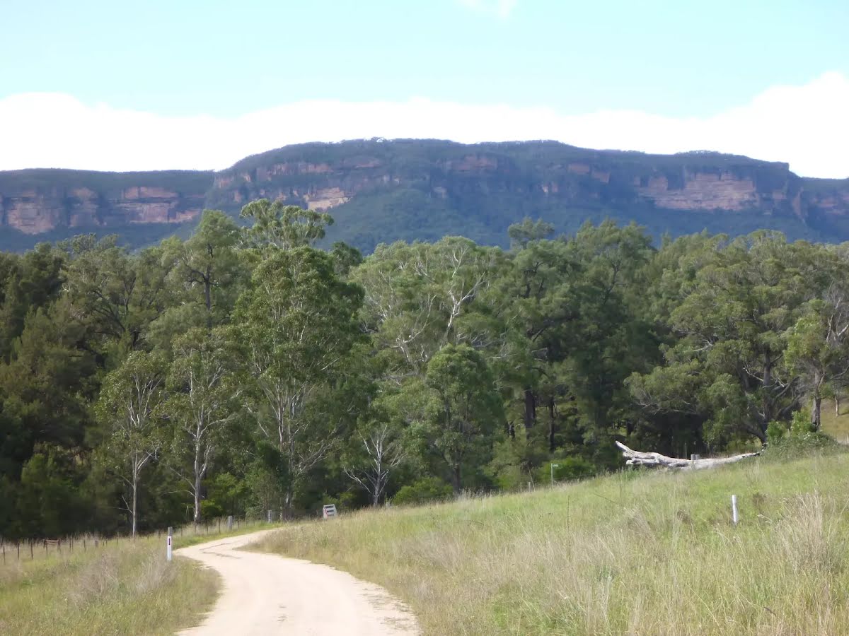
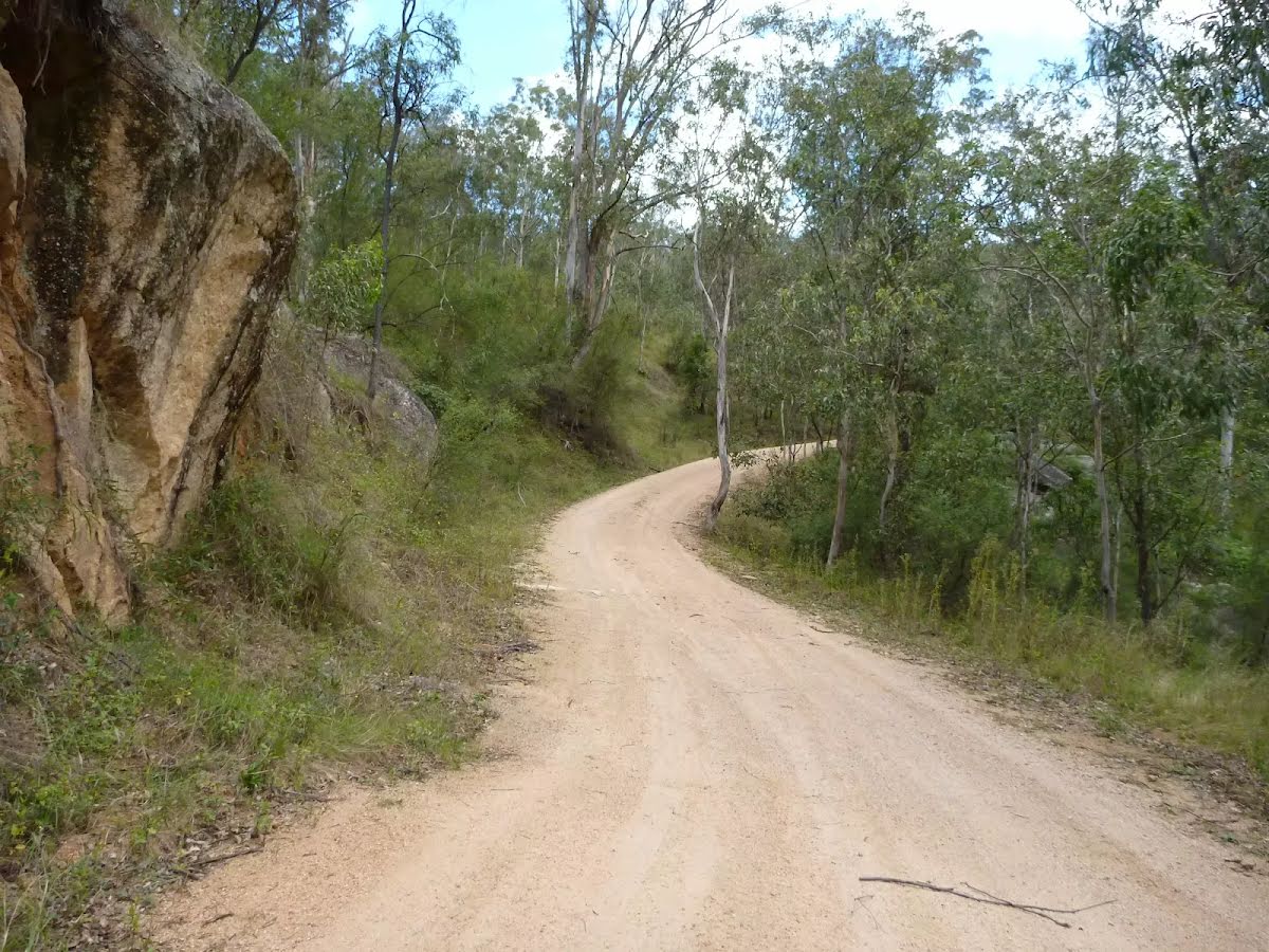
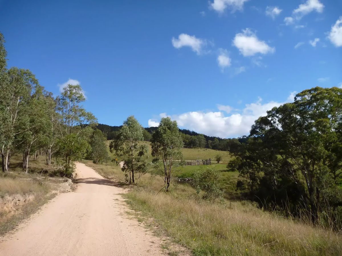
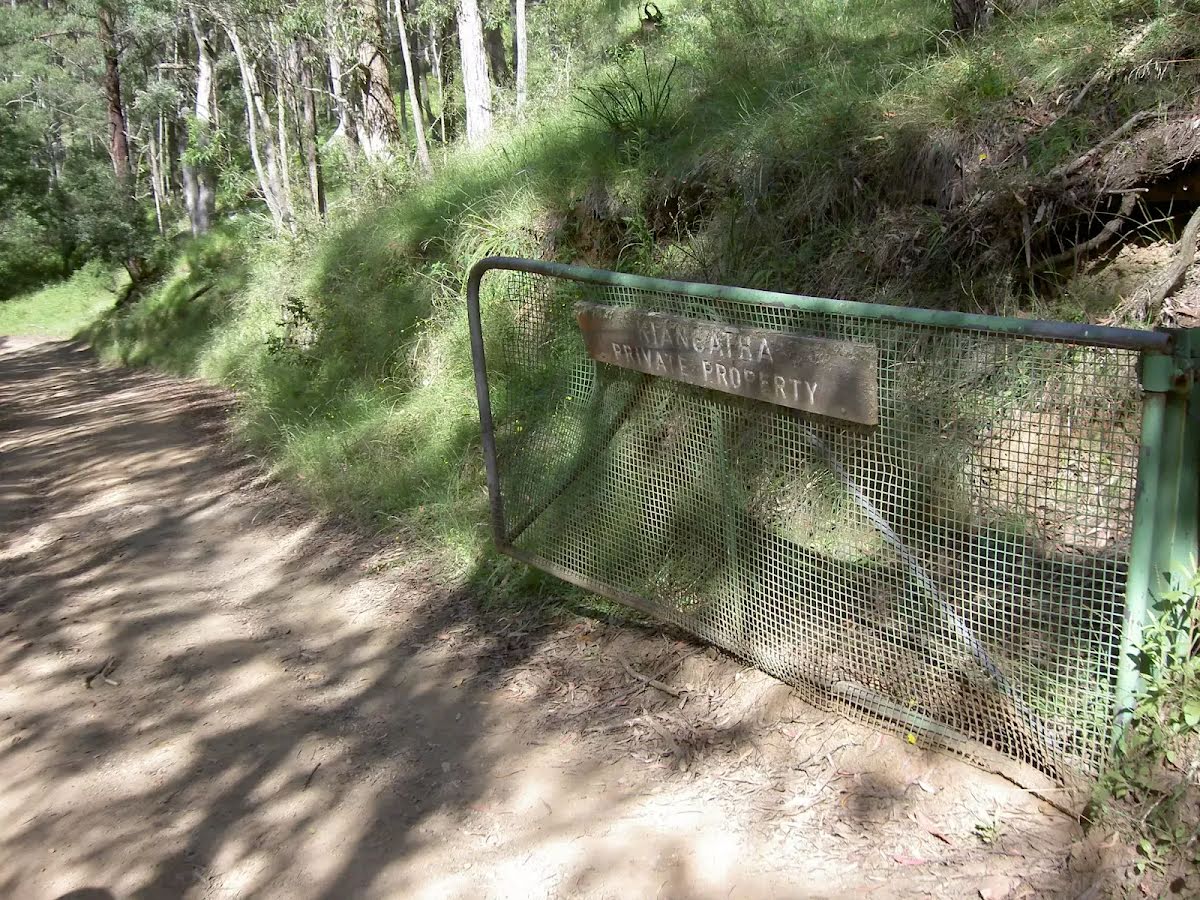
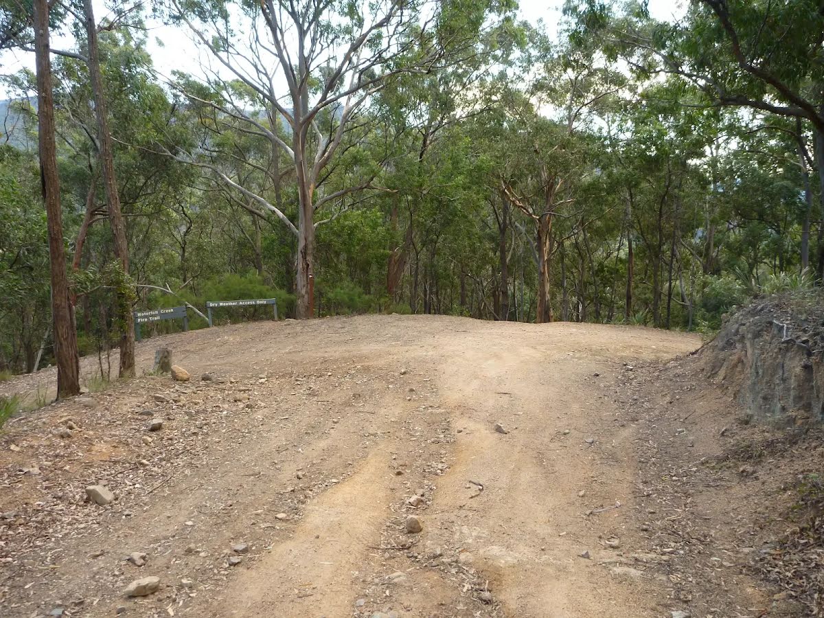
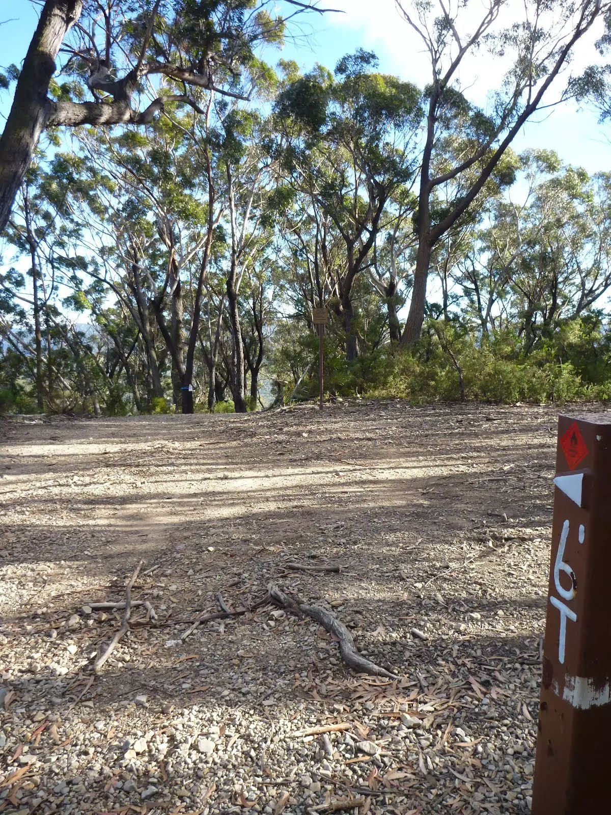
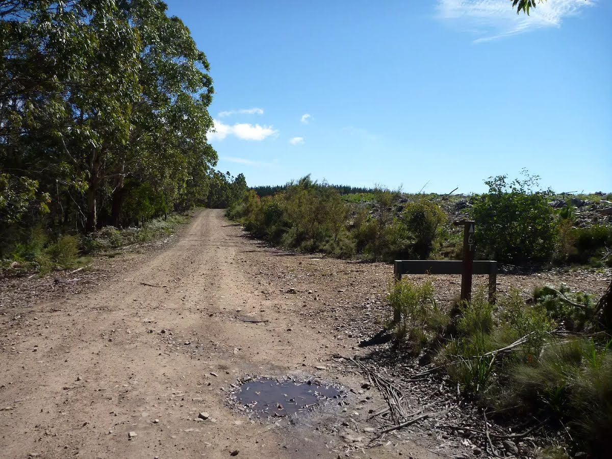
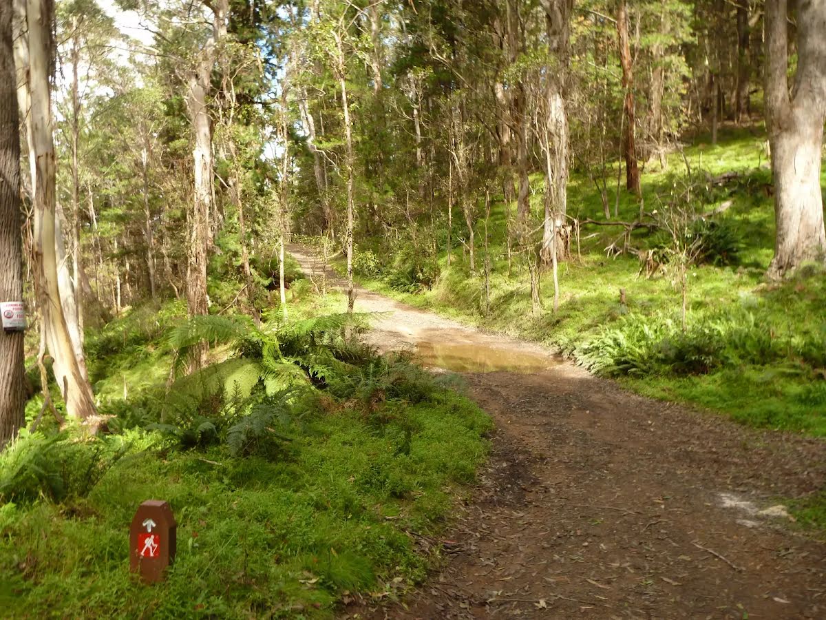
After another 1.4 km (at the intersection of Black Range Road & Glen Chee Road) turn right, to head along Black Range Road (a vehicle track).
|
 |
|
 |
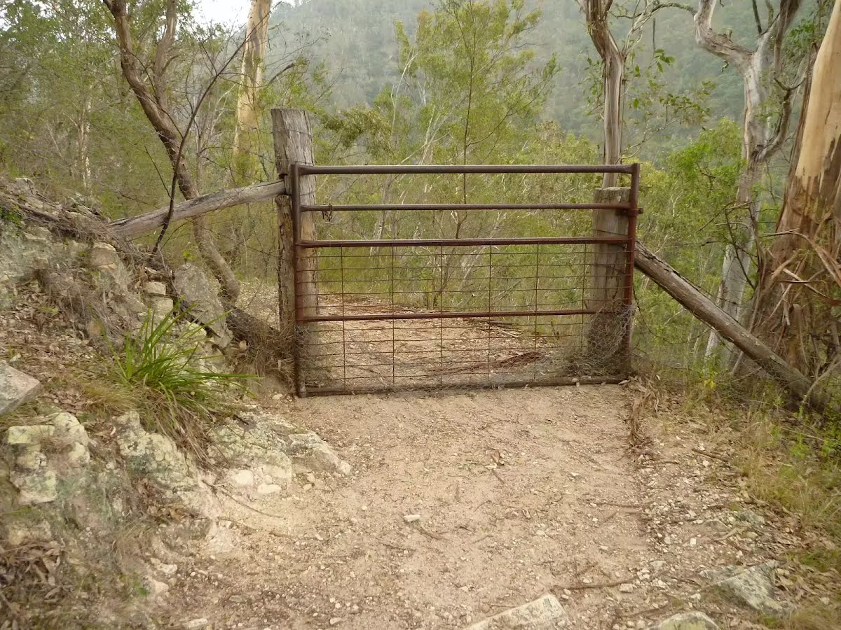
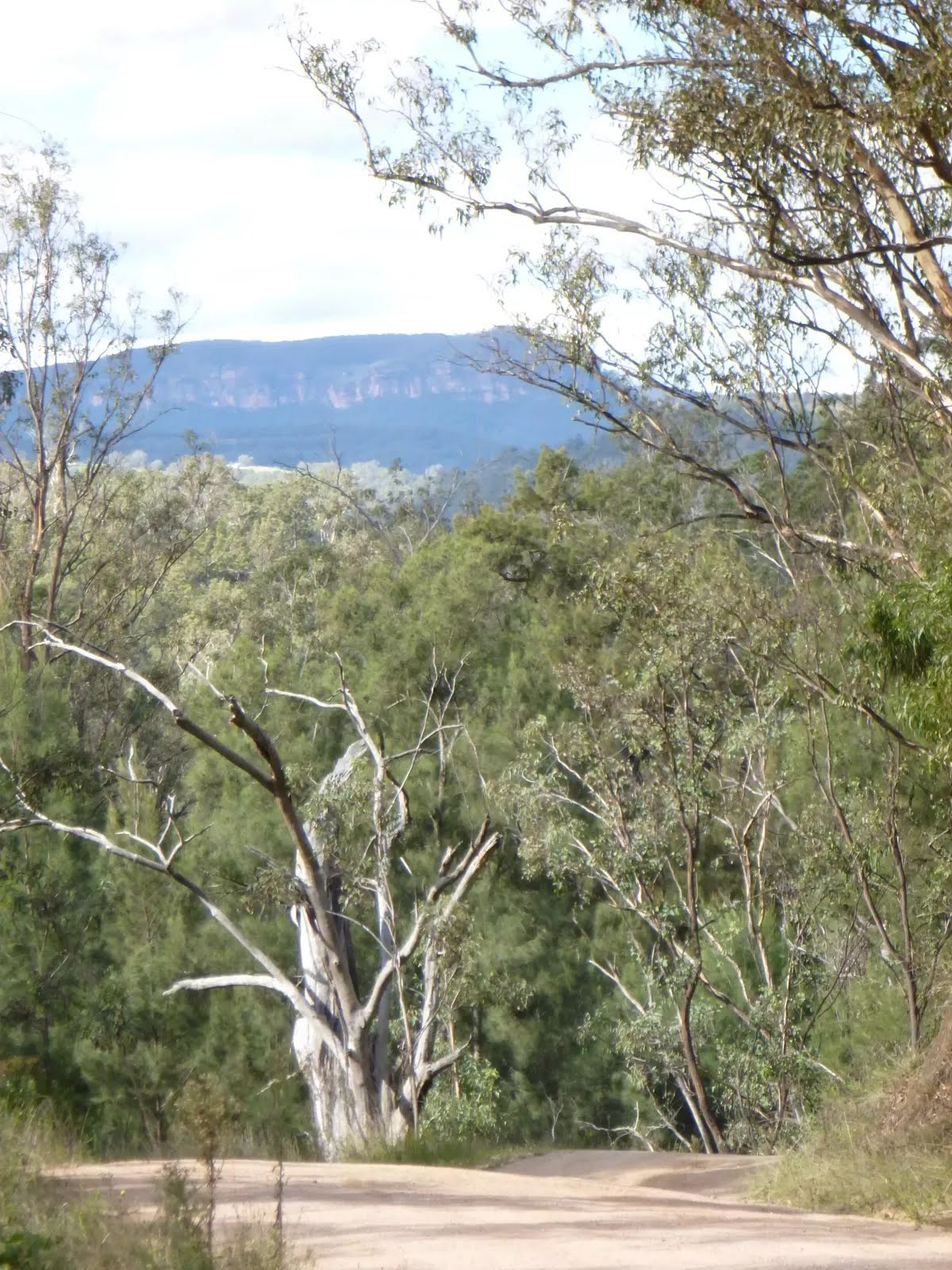
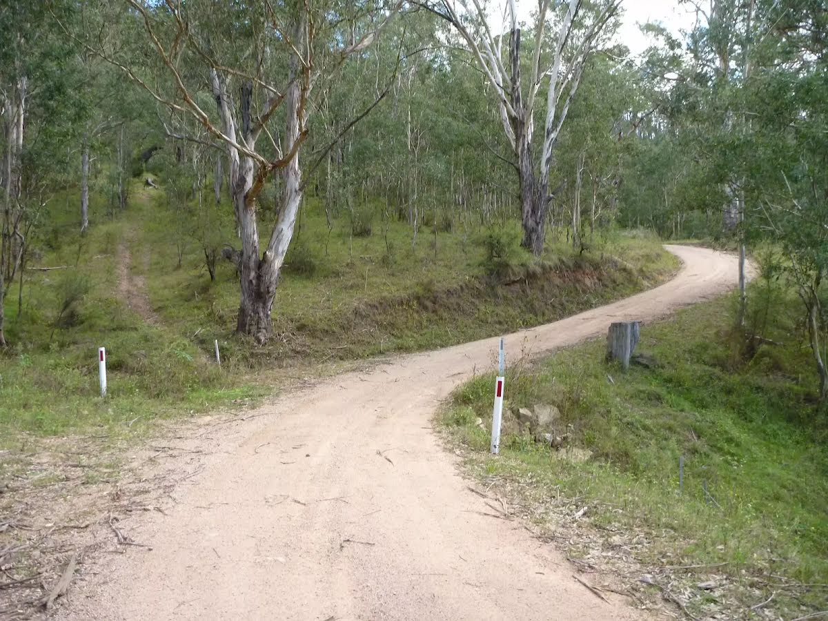
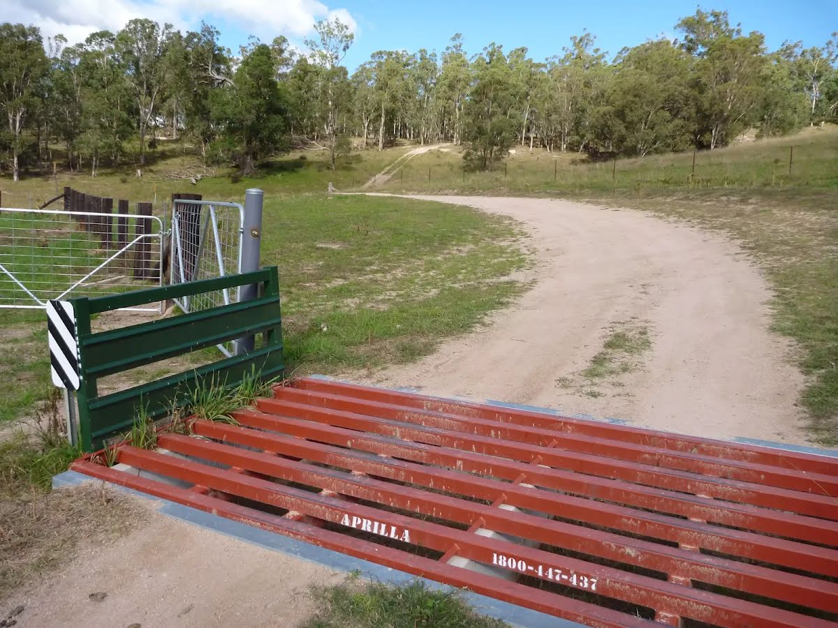
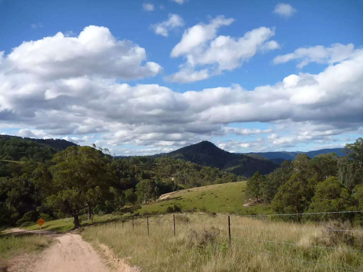
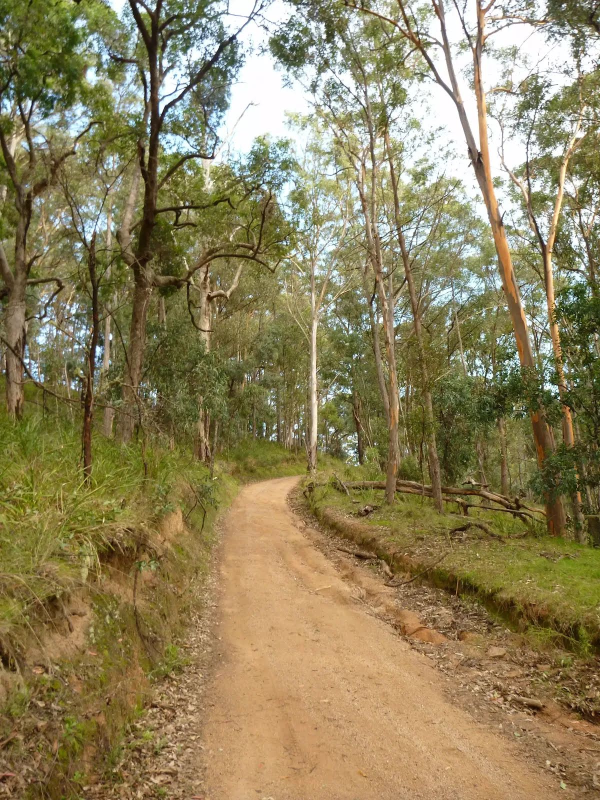
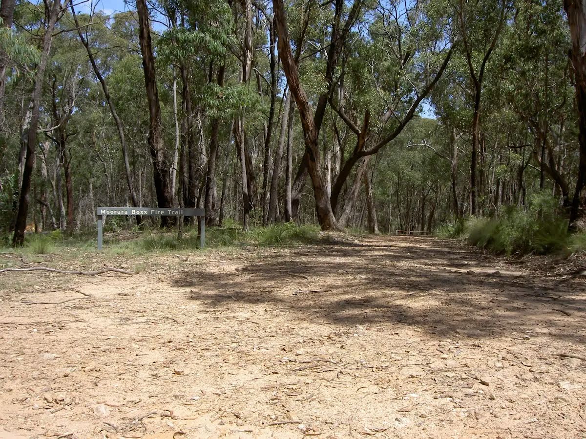
After another 250 m (at the intersection of Caves Road Trail & Black Range Road) turn left, to head along Caves Road Trail (a vehicle track).
|
 |
|
 |
|
 |
|
 |
|
 |
|
 |
|
 |
|
 |
|
 |
|
 |
| Turn map | Directions & comments |
|---|---|
 |
|
 |
| Turn map | Directions & comments |
|---|---|
 |
|
 |

|
|
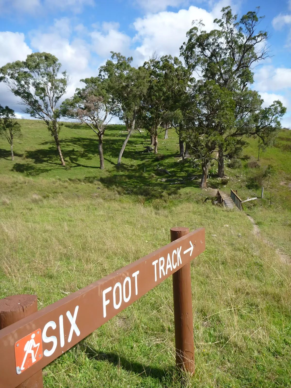
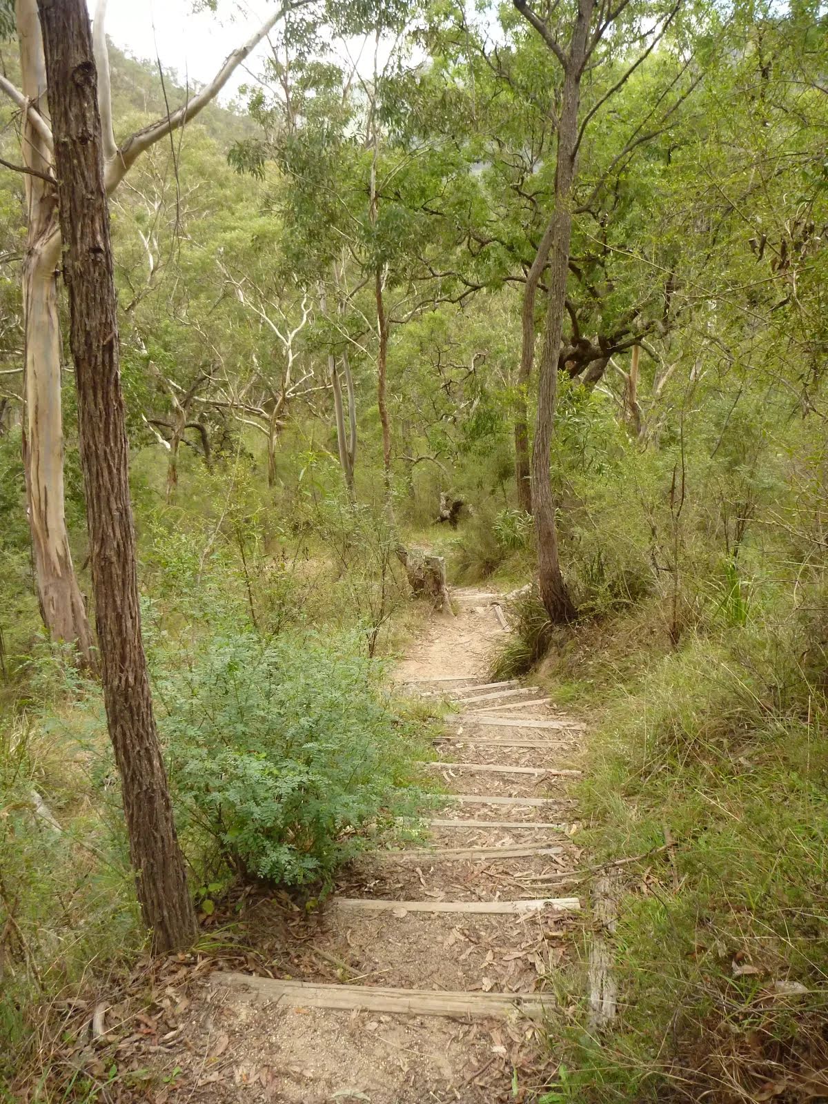
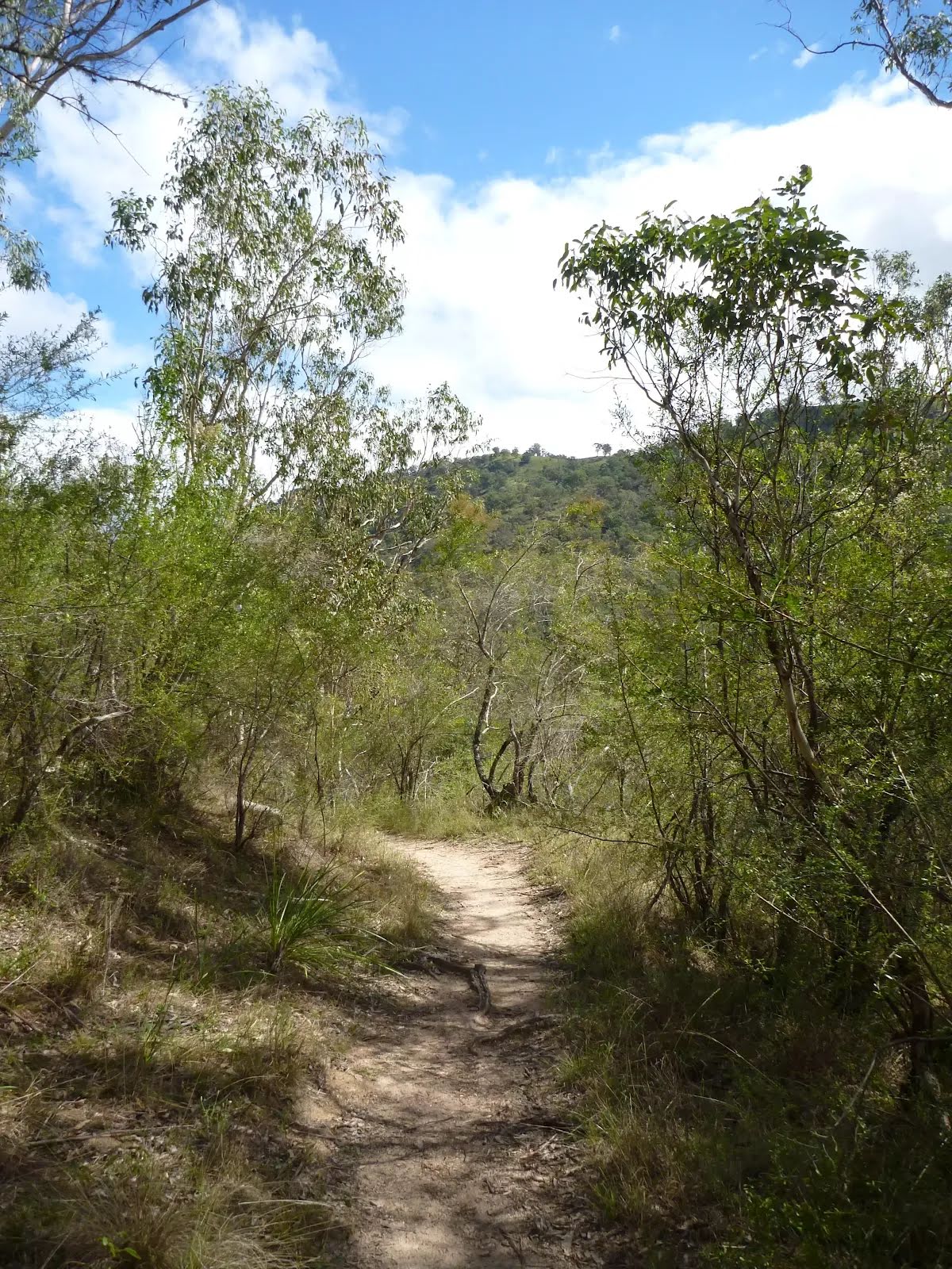
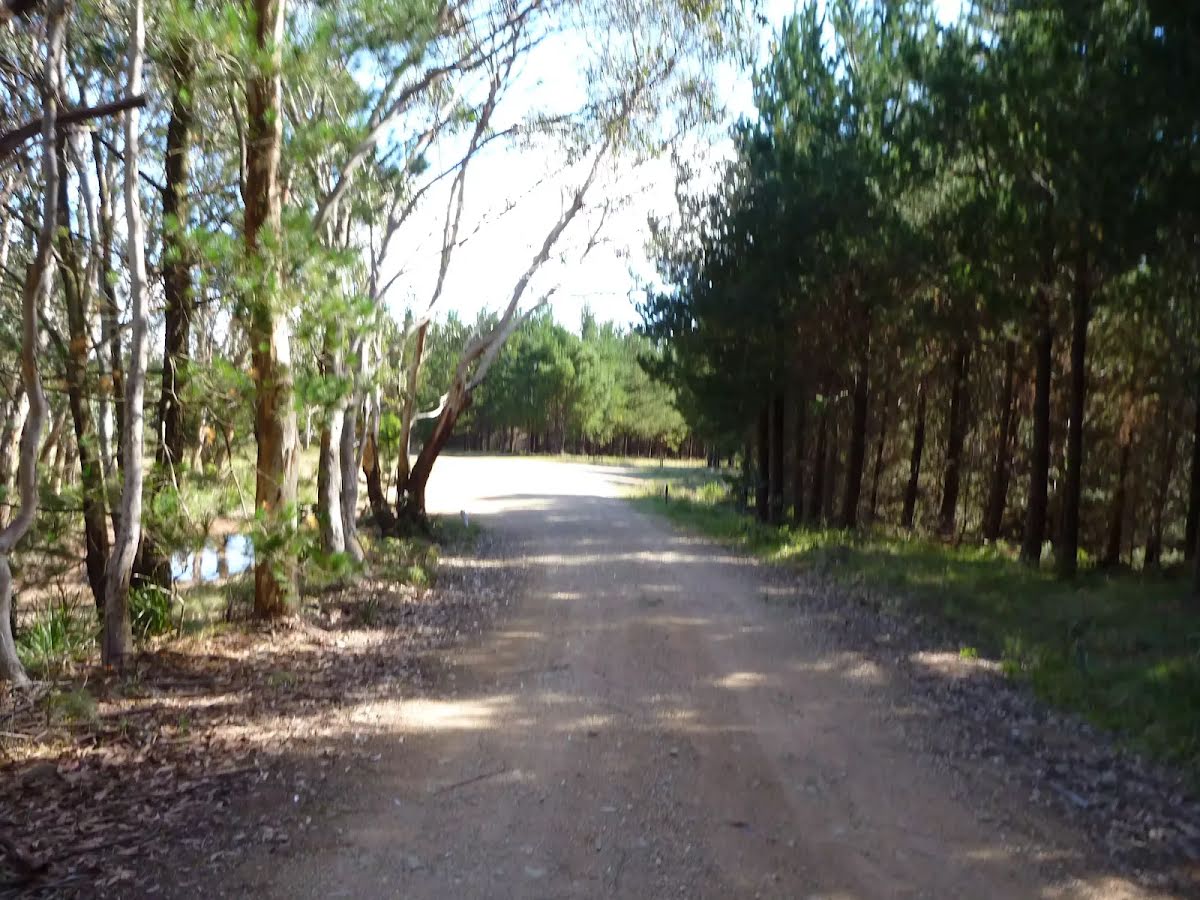
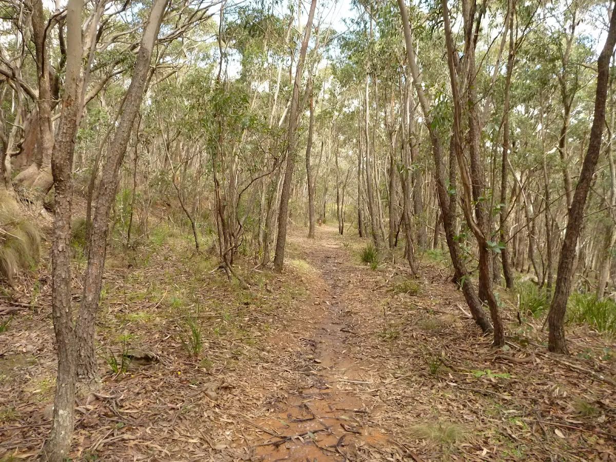
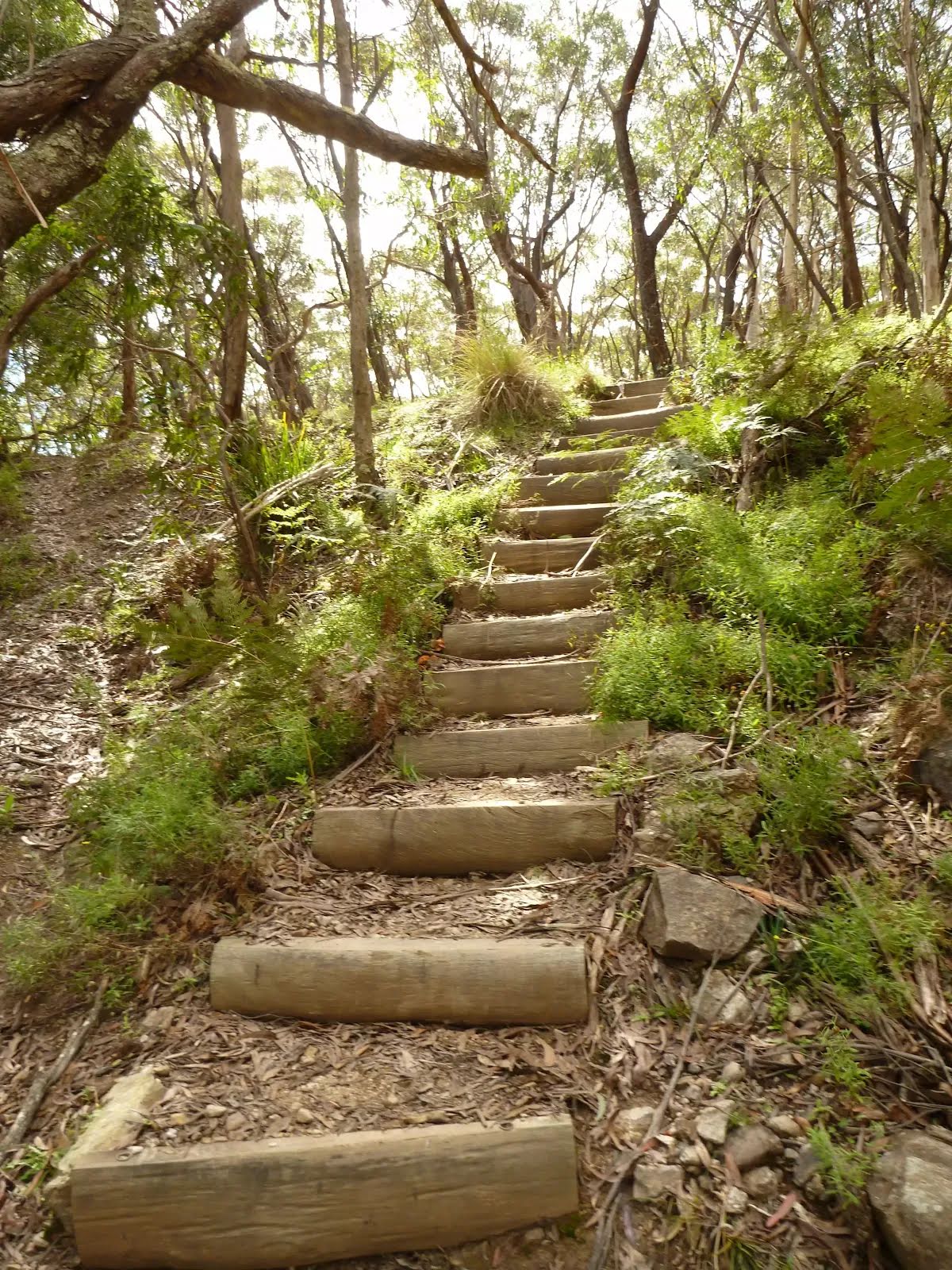
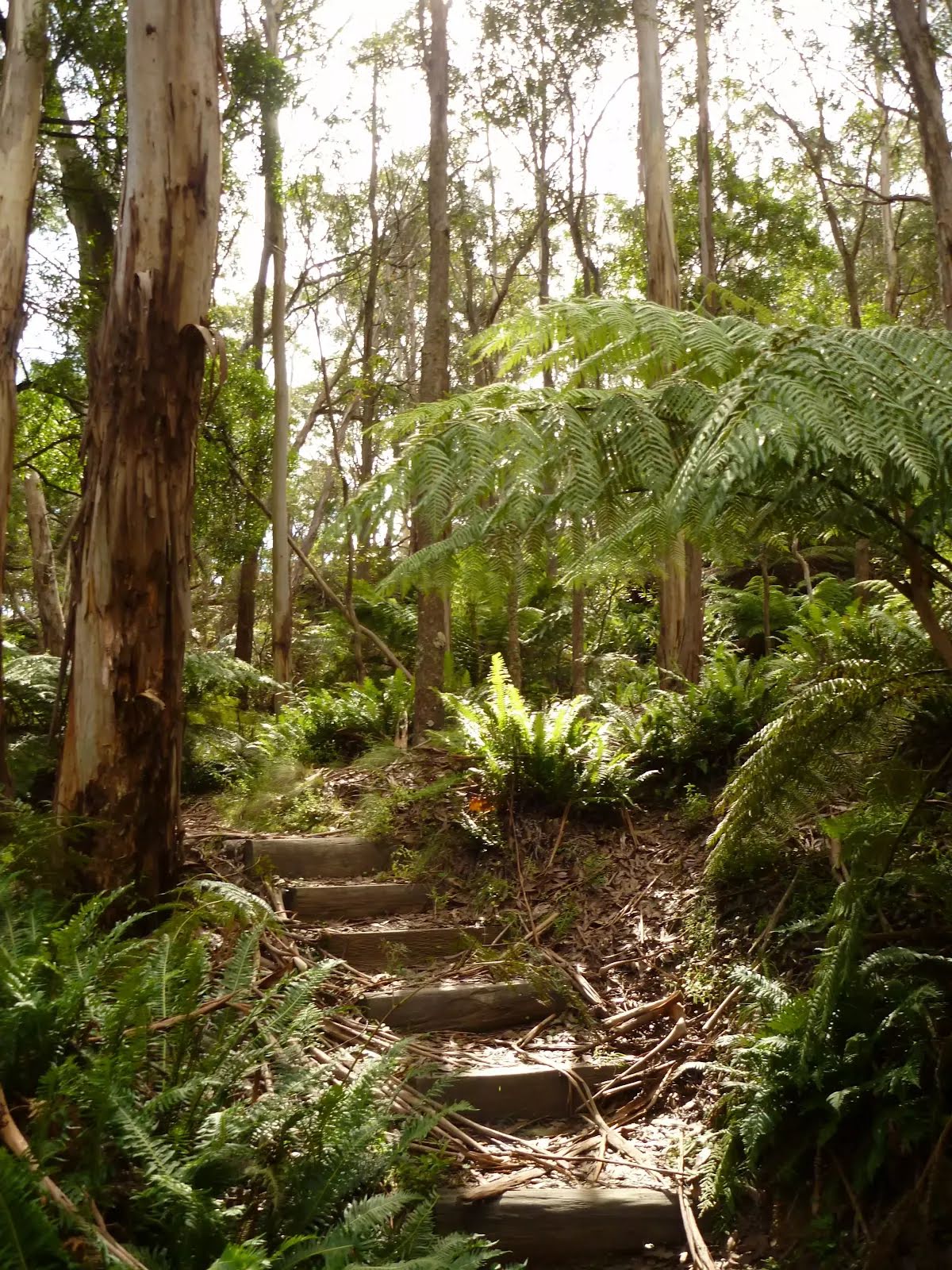
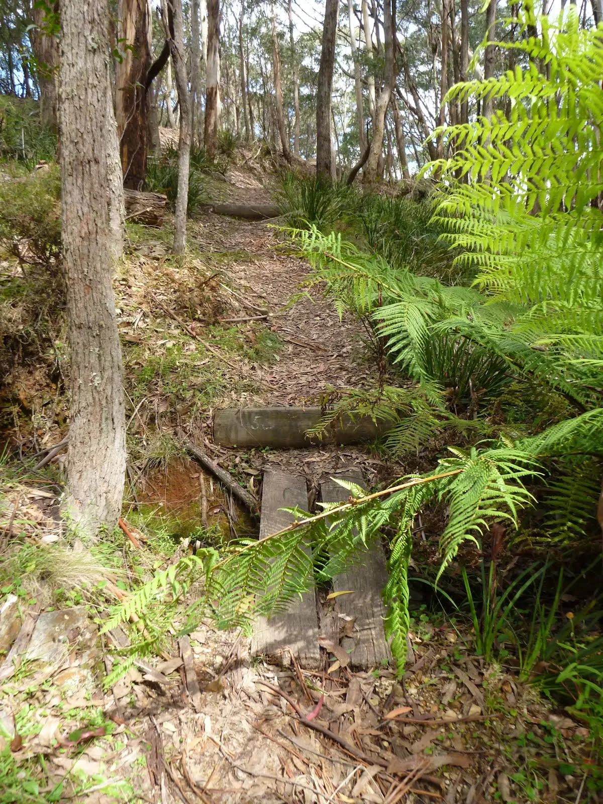
Class 4/6 Hard track |
|---|---|
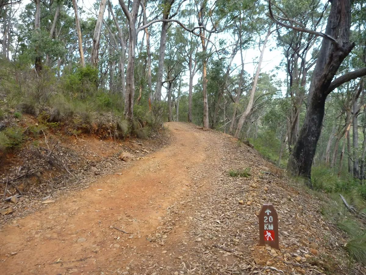
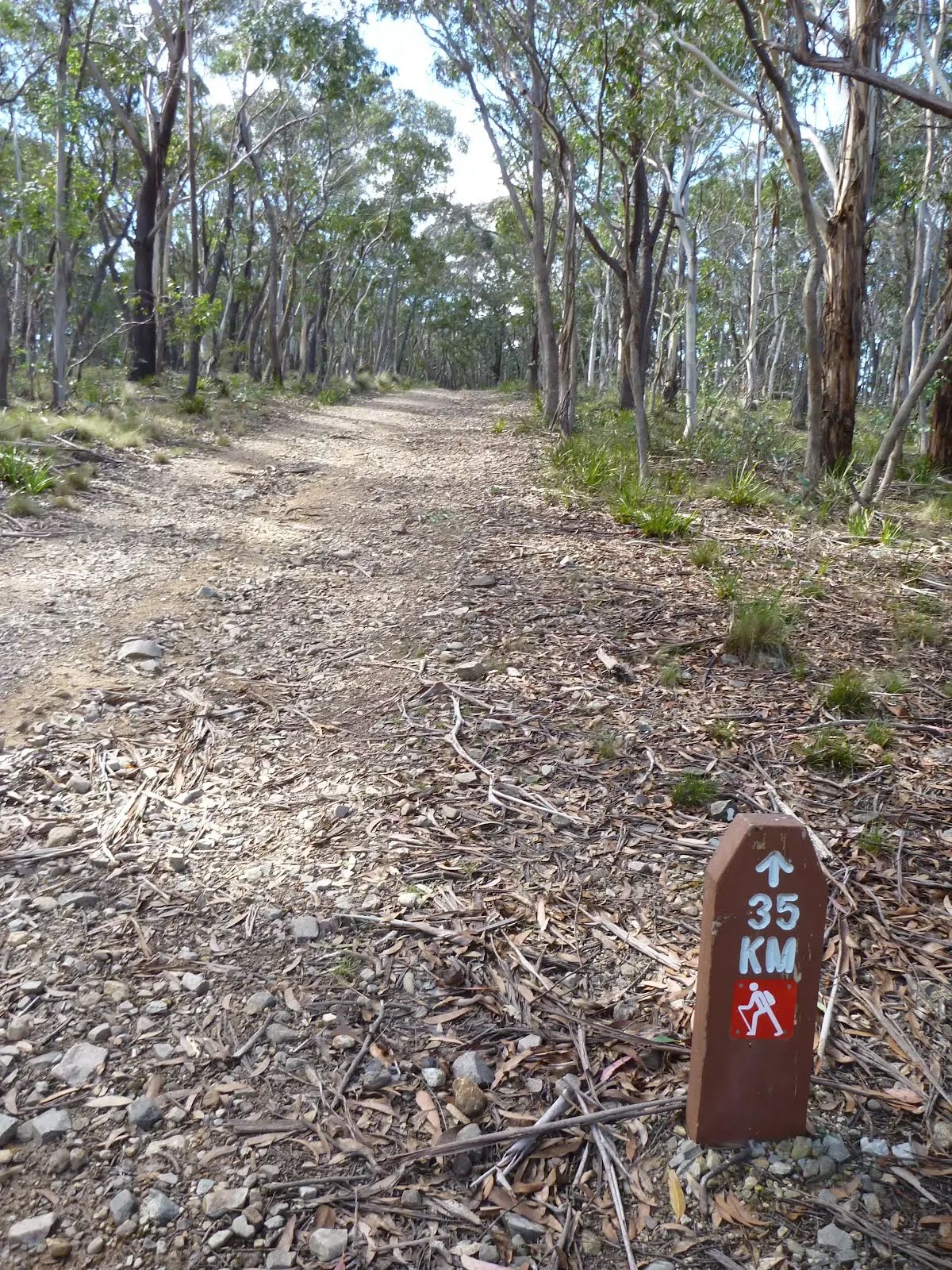
| Length | 44.6 km |
| Time | 16 h, 2 days to 3 days |
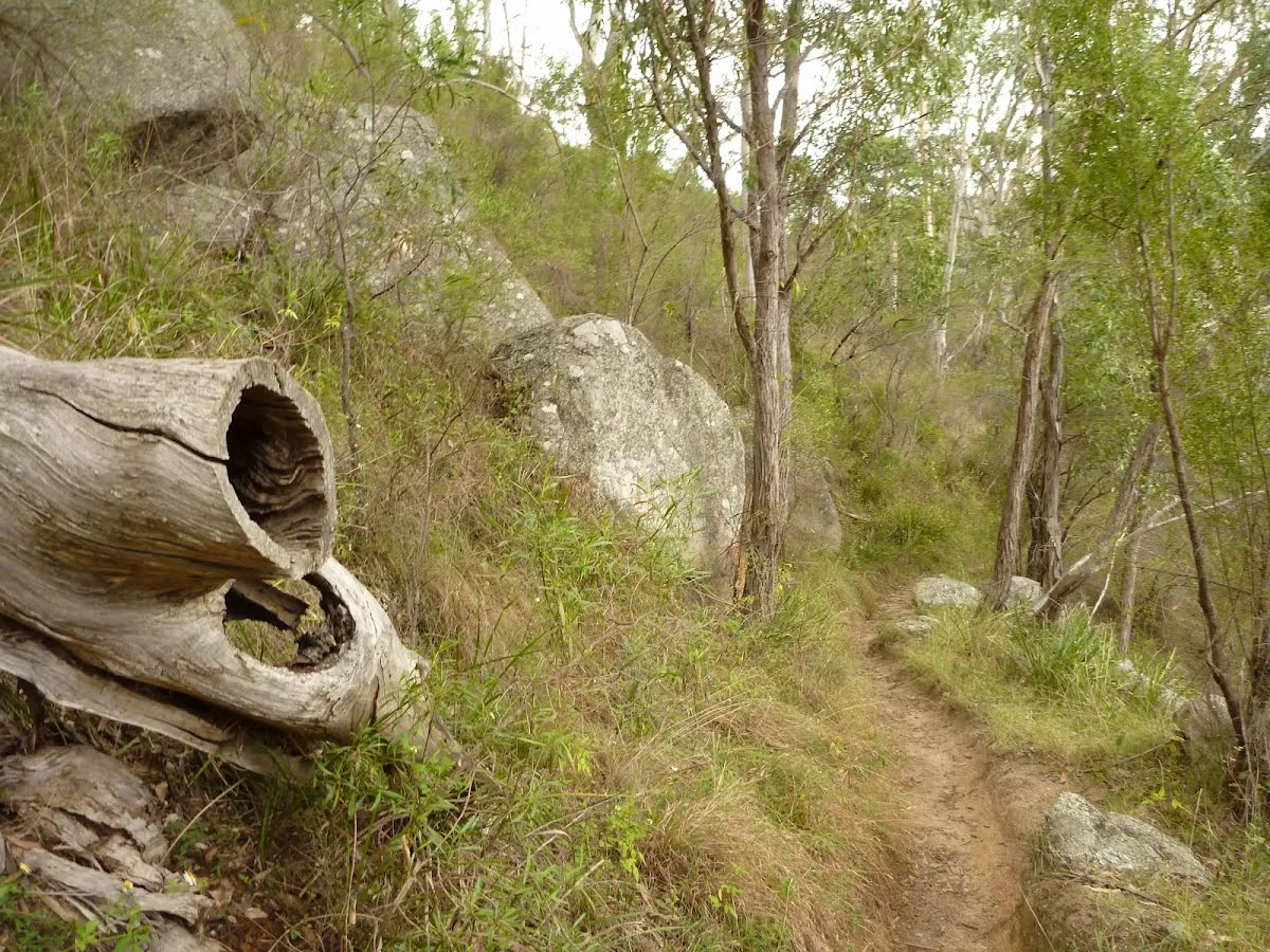
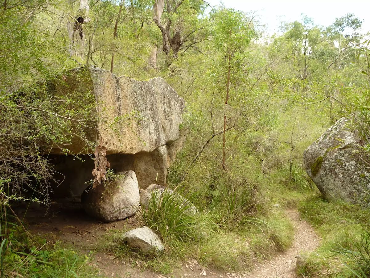
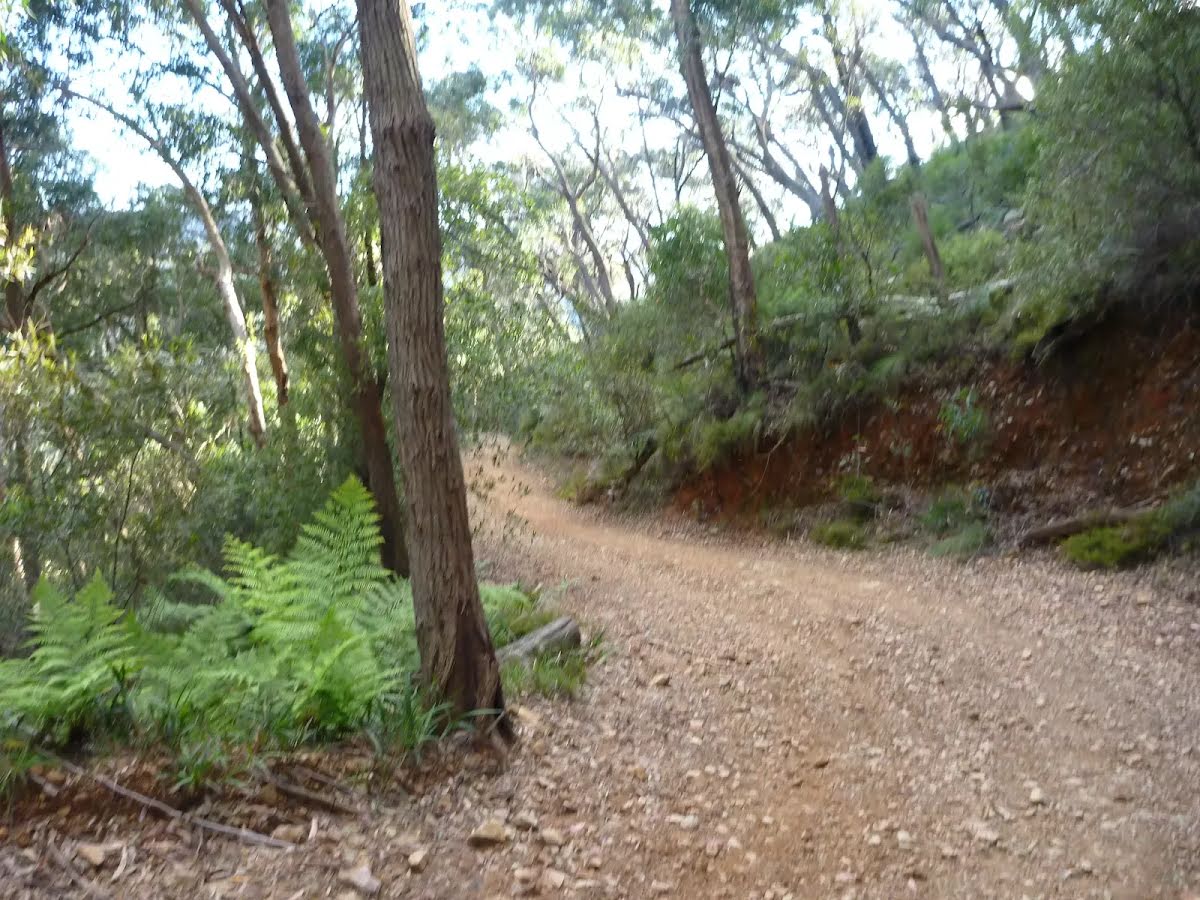
| Quality of track | Rough track, where fallen trees and other obstacles are likely (4/6) |
| Gradient | Very steep (4/6) |
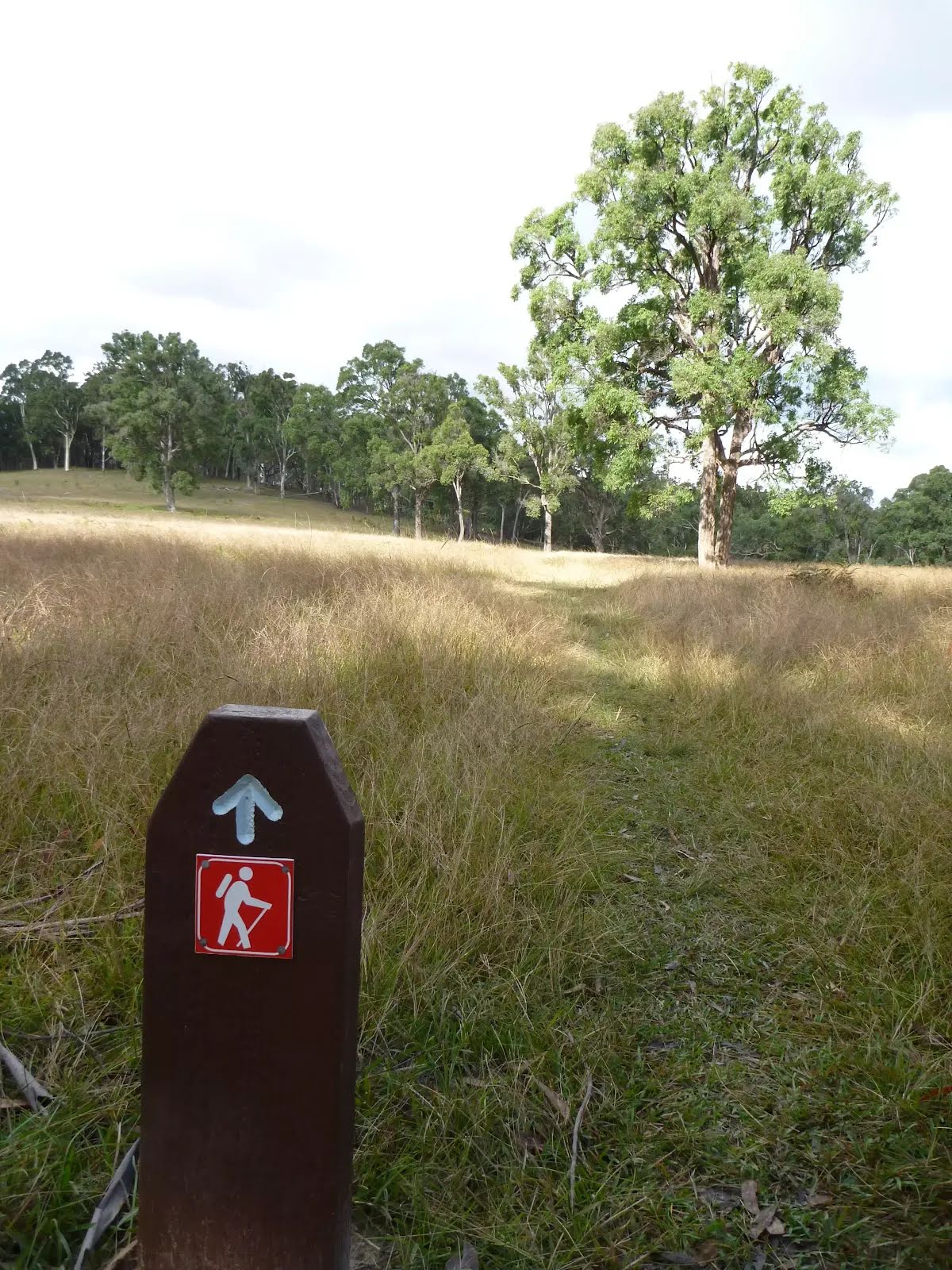
| Signage | Directional signs along the way (3/6) |
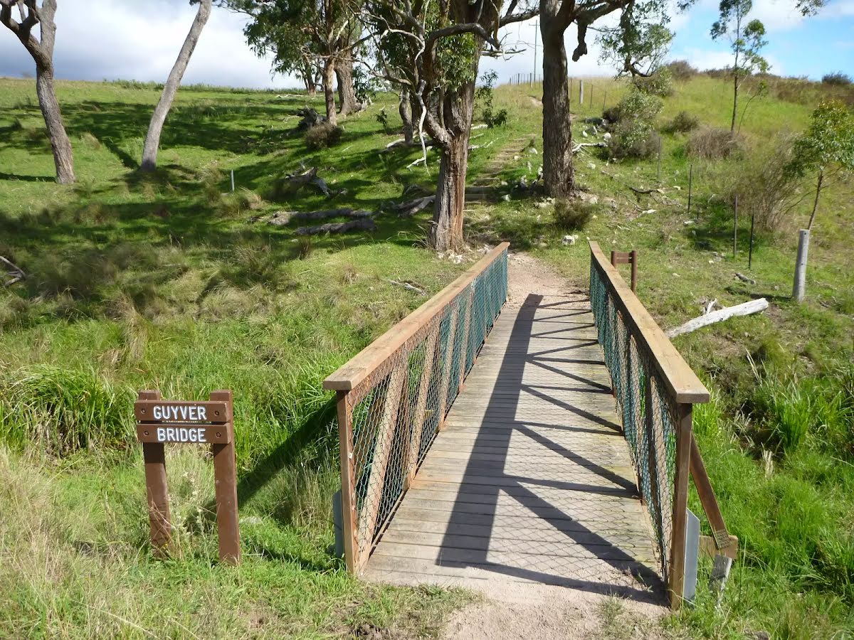
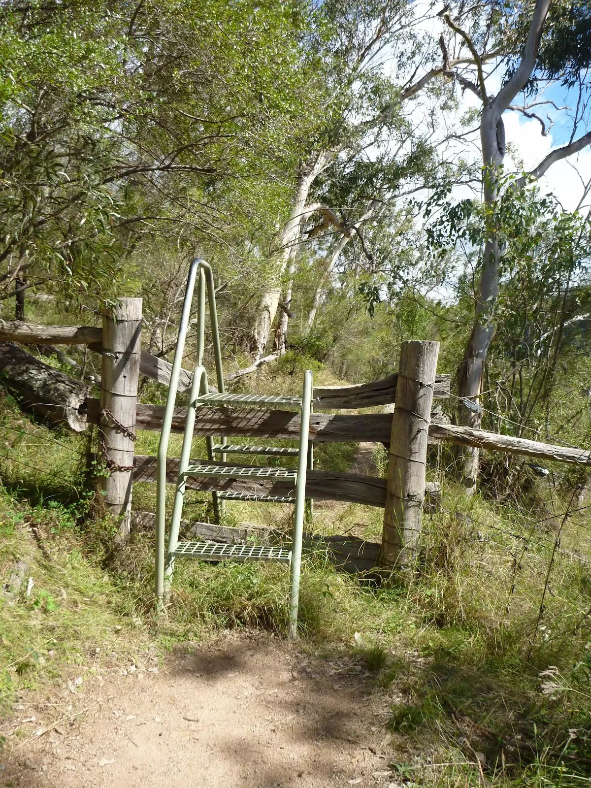
| Infrastructure | Limited facilities (such as cliffs not fenced, significant creeks not bridged) (4/6) |
| Experience Required | Some bushwalking experience recommended (3/6) |
| Weather | Storms may impact on navigation and safety (3/6) |
| Item | From Start | Name & link to notes |
|---|---|---|
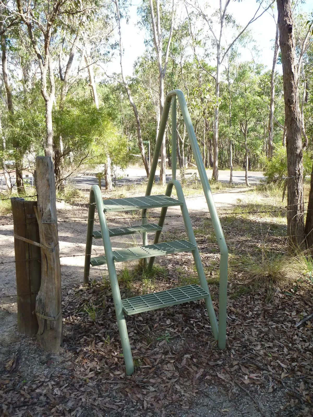
Seat
| 70 m | [seat] |
Shelter
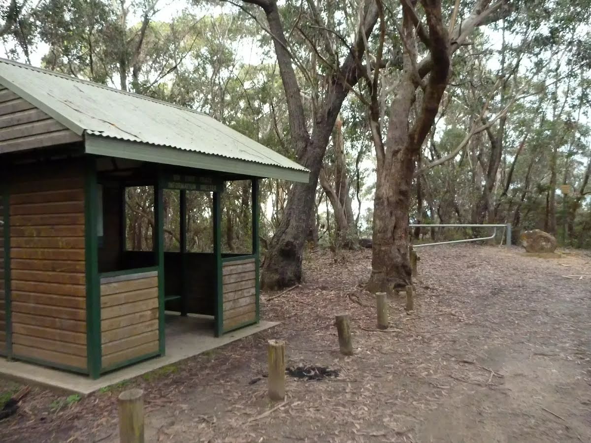
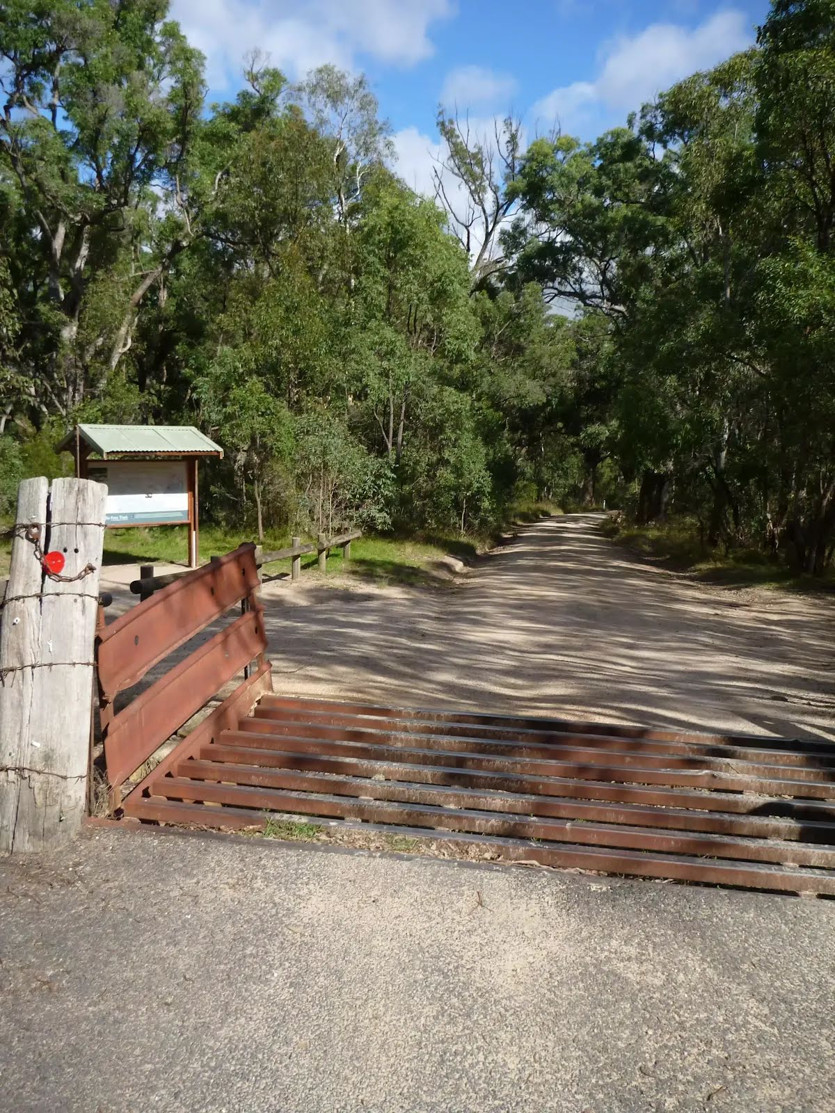
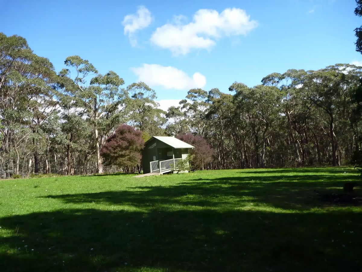
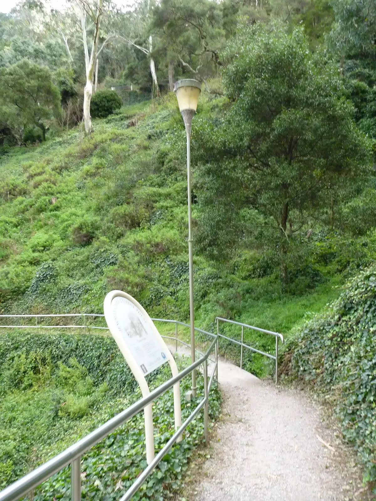
| 290 m | Six Foot Track Information Shelter |
Camp site
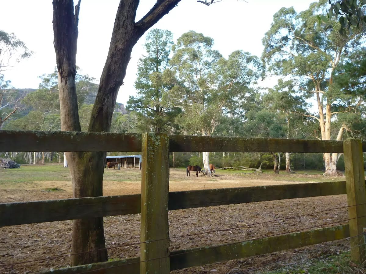
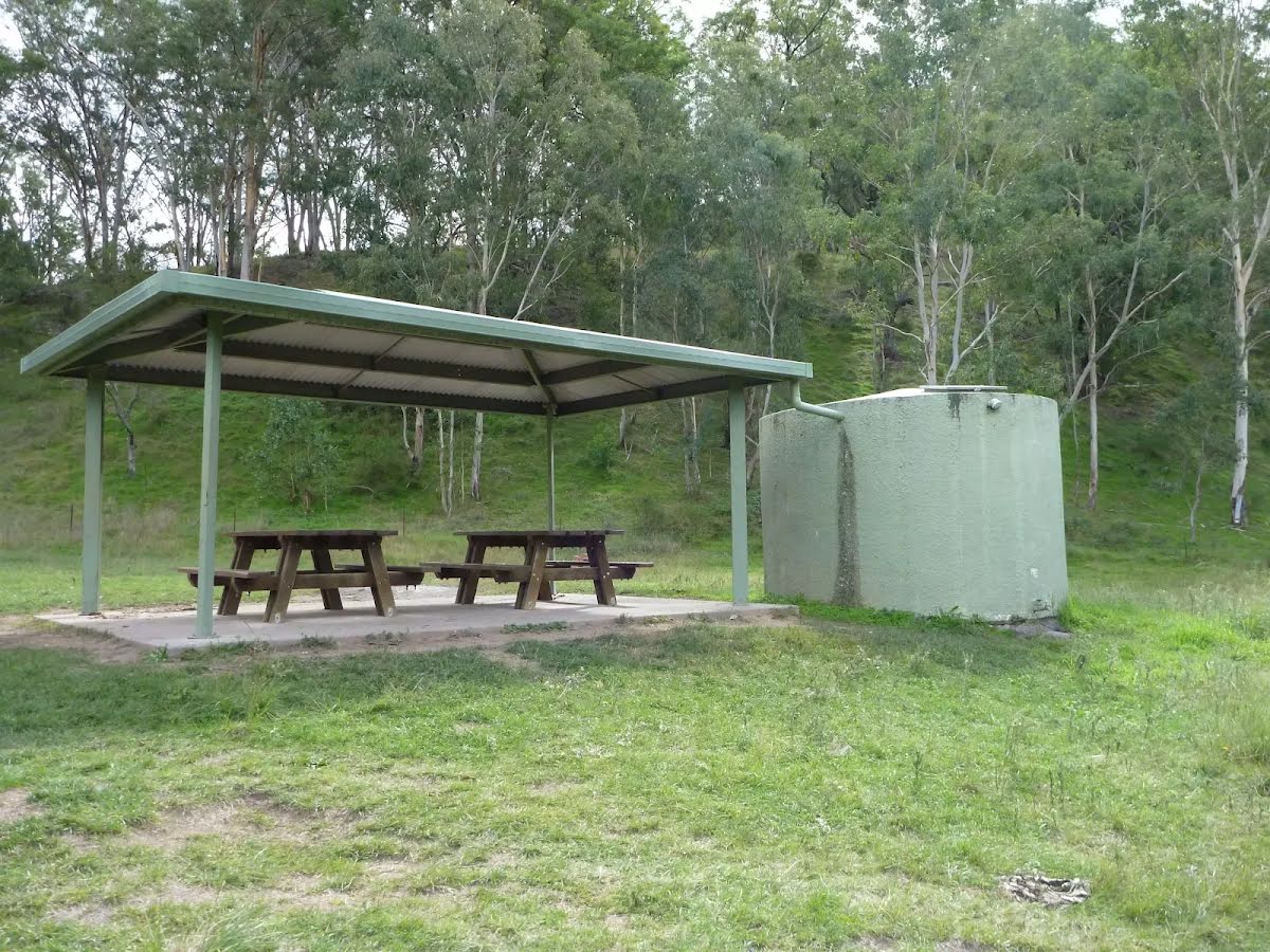
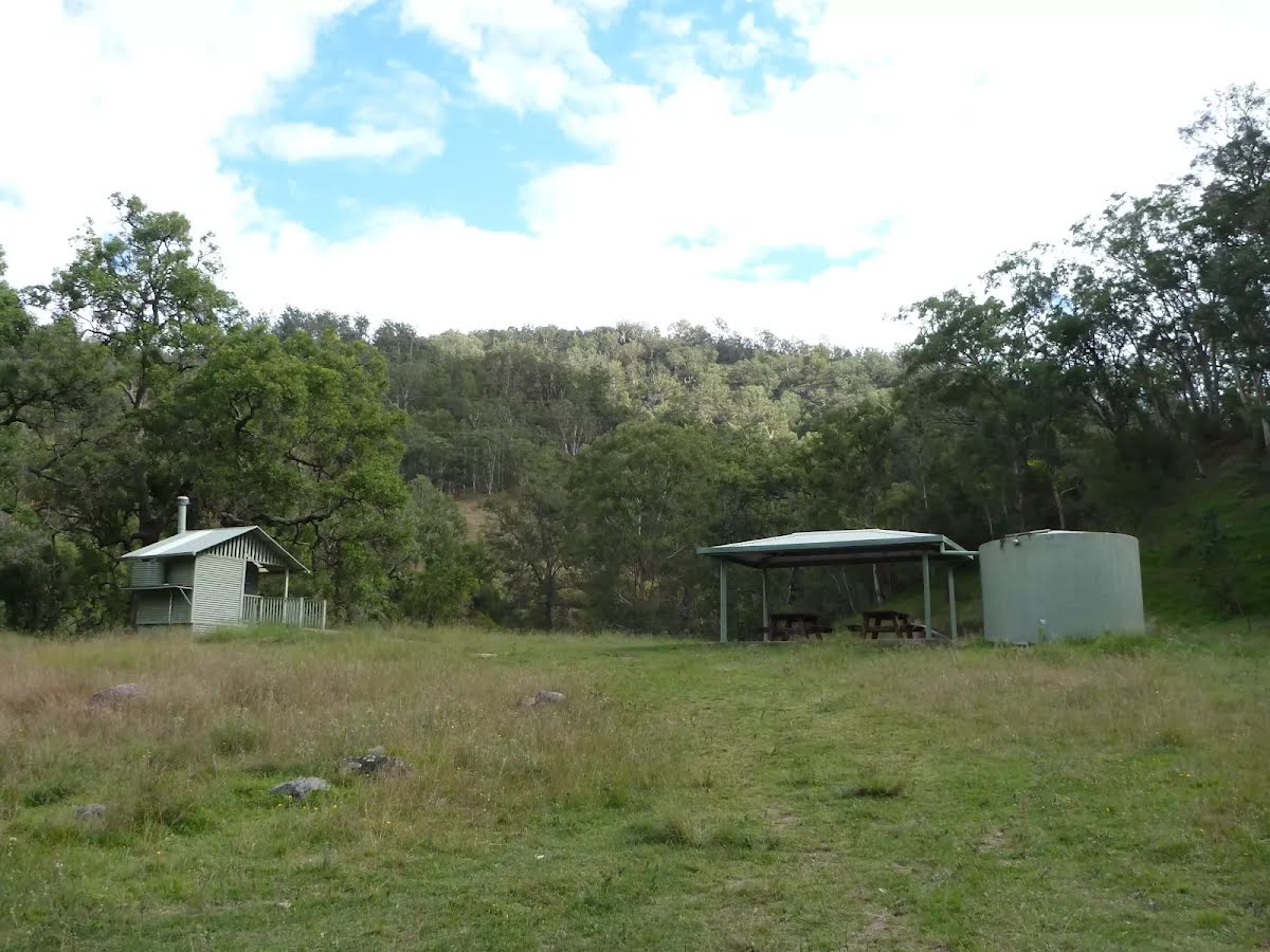
| 8.1 km + 490 m | Old Ford Reserve |
Seat
| 11.4 km | Ron's Roost |
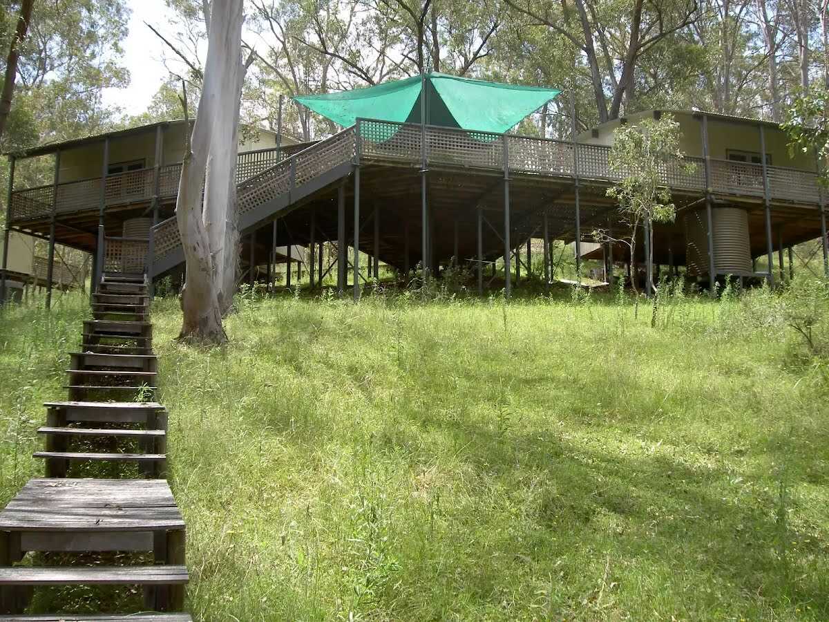
Tourism|alpine_hut
| 15.2 km | [tourism|alpine_hut] |
Tourism|alpine_hut
| 15.2 km | [tourism|alpine_hut] |
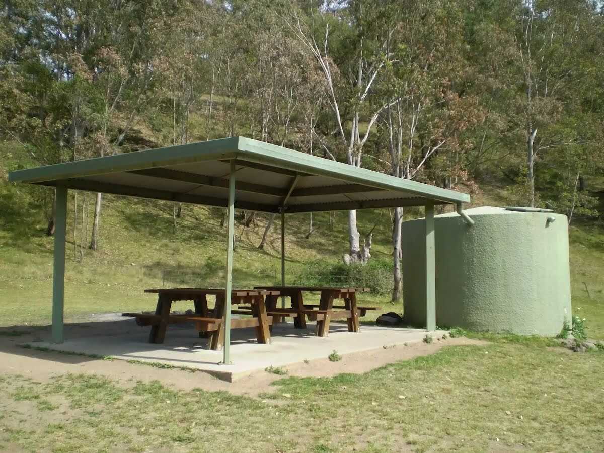
Campsite
| 15.5 km | Coxs River Camping Area |
Campsite
| 15.5 km | Coxs River Campsite |
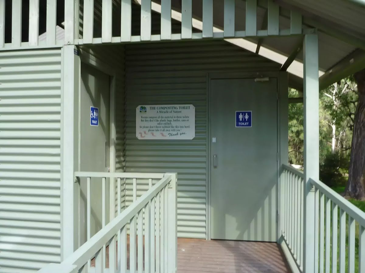
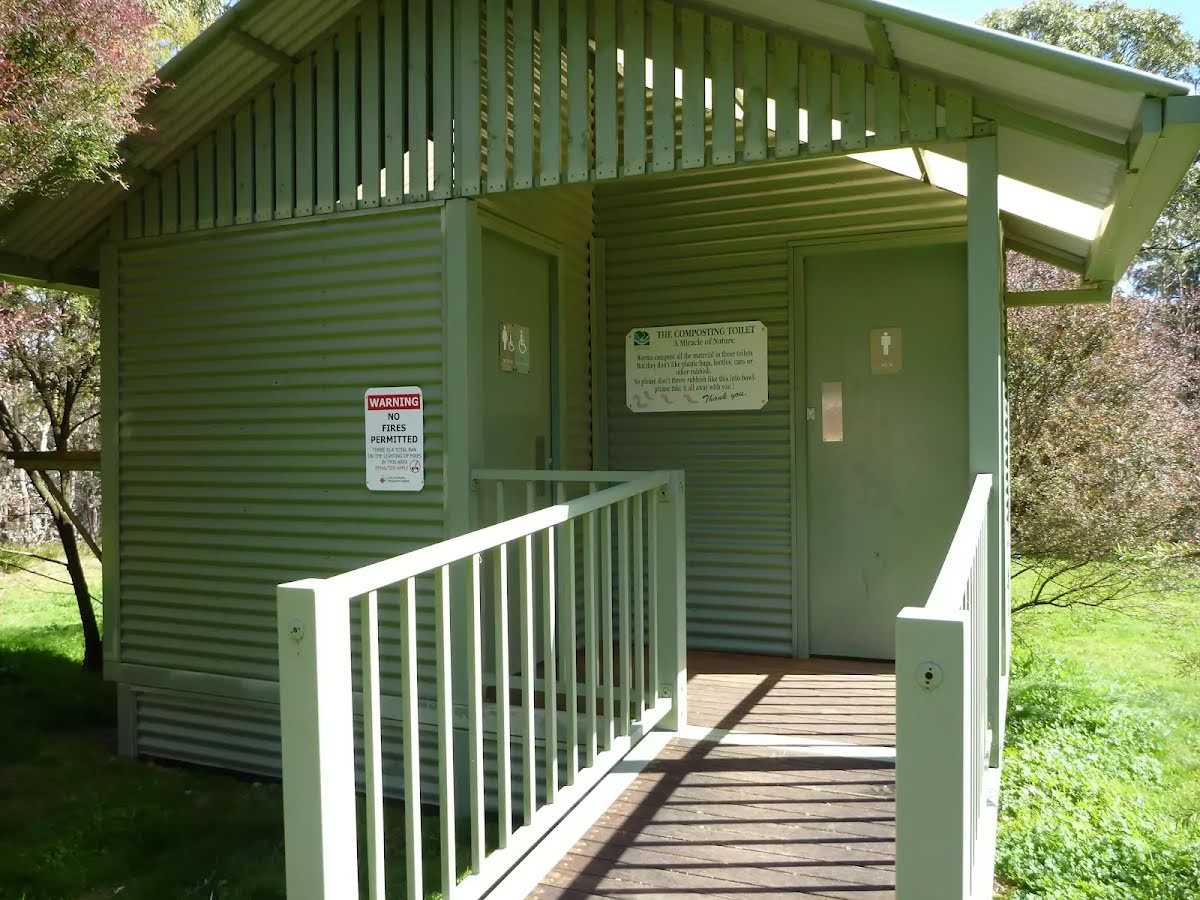
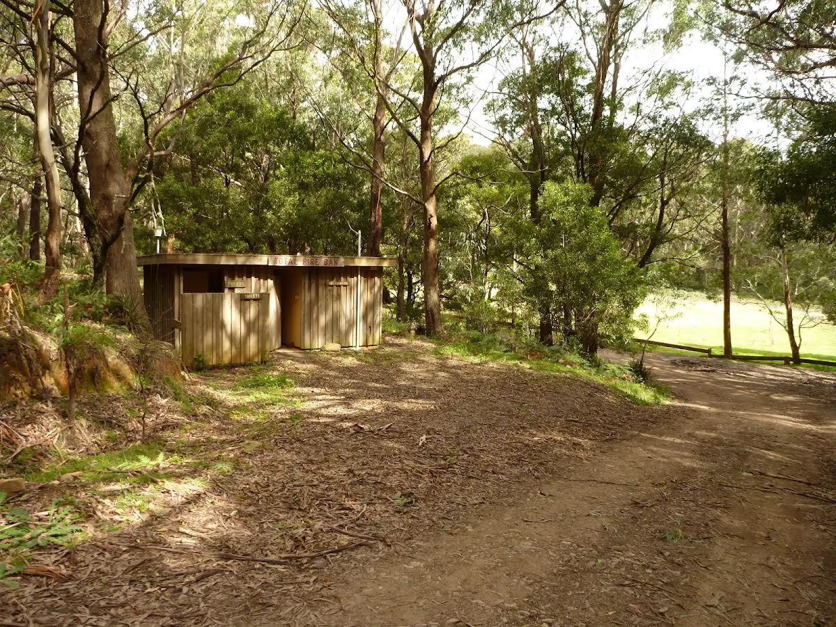
Toilet
| 21.7 km | [toilet] |
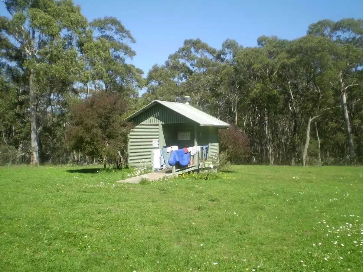
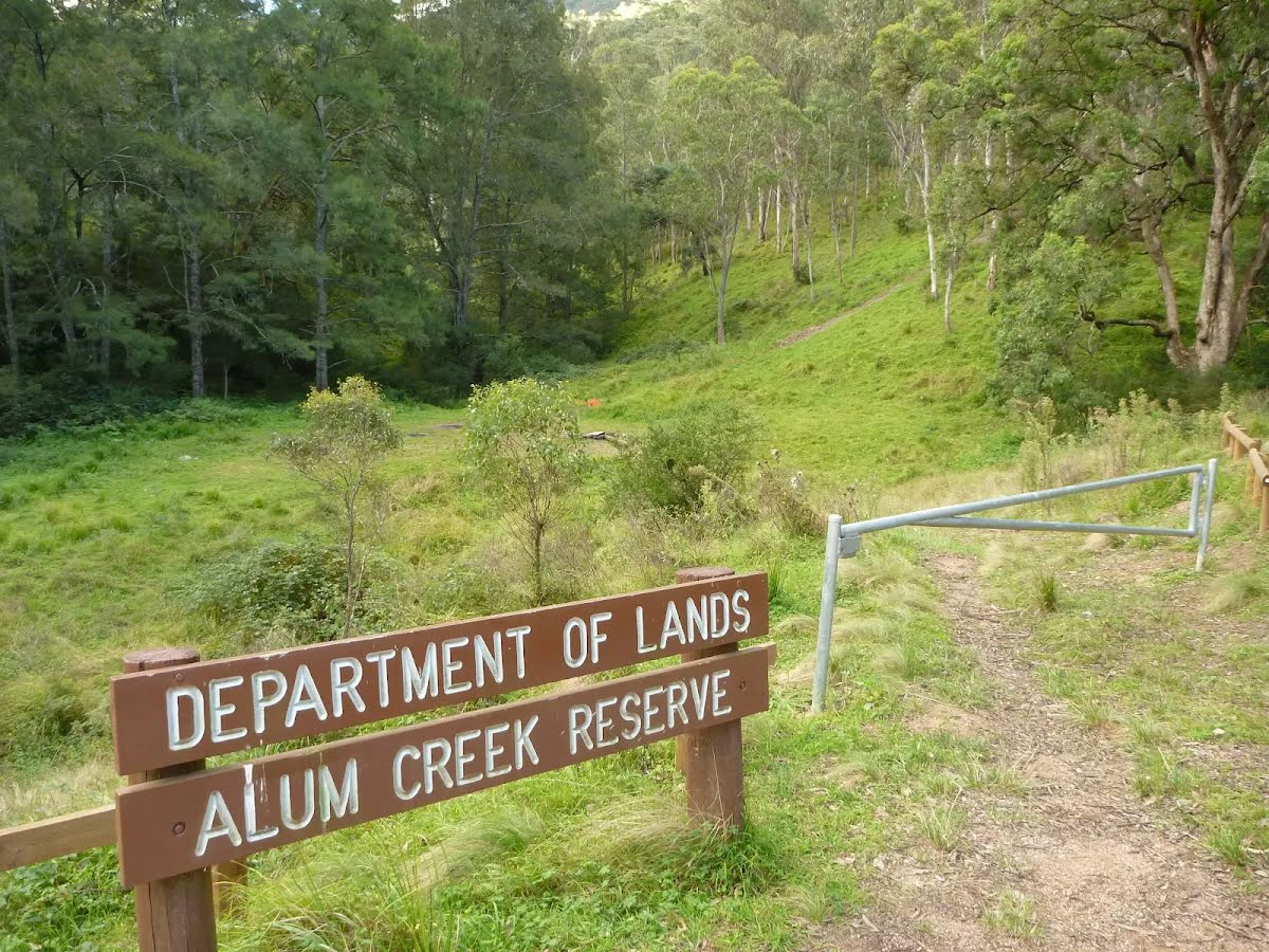
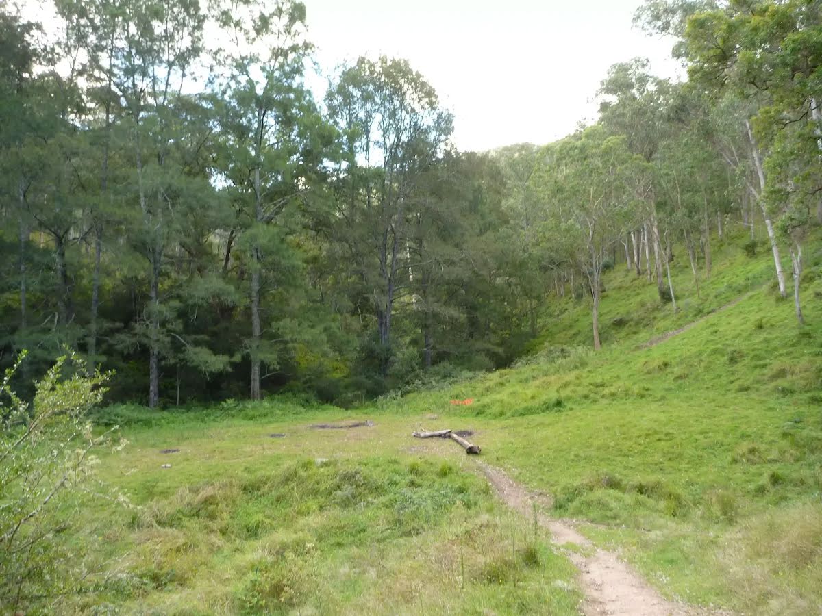
Campsite
| 21.7 km | Alum Creek Camping ground |
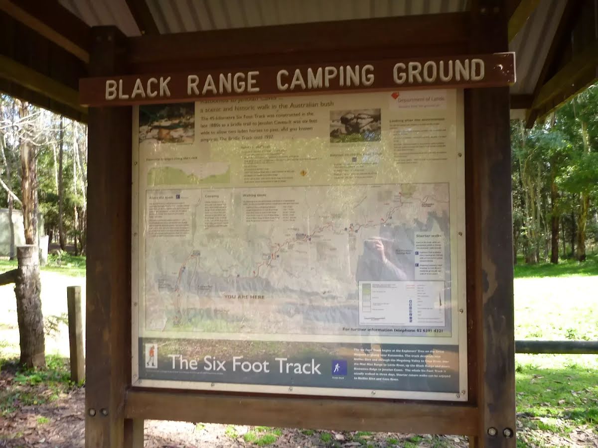
Campsite
| 34.7 km | Black Range camping ground |
Toilet
| 40.5 km | [toilet] |
Toilet
| 44.6 km | [toilet] |