| Start | Whitebridge. (-32.9623972,151.7320153) |
| Mode | Car |
| Directions | From Dudley Road, Whitebridge, head north-east along Burwood Road;
|
| Turn map | Directions & comments |
|---|---|
 |
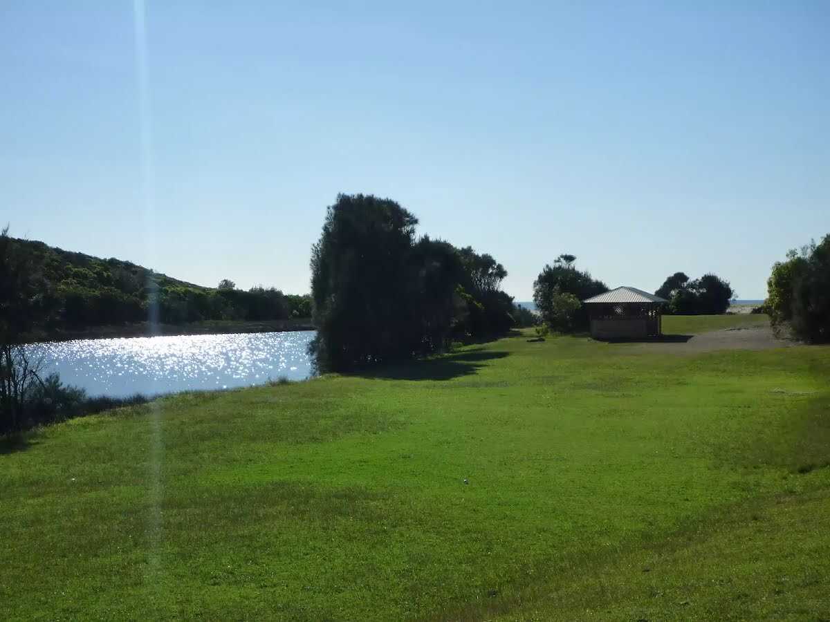
🔗 nsw.scouts.com.au There is a telephone here.
|
 |
|
 |
|
 |
|
 |
|
 |
|
 |
|
 |
|
 |
|
 |
|
 |
|
 |
|
 |
|
 |
|
 |
|
 |
|
 |
|
 |
|
 |
|
 |
|
 |
|
 |
|
 |
|
 |
|
 |

|
|
Class 2/6 Easy track |
|---|---|
| Length | 2.3km |
| Time | 45 mins to 1 hr |
| Quality of track | Clear and well formed track or trail (2/6) |
| Gradient | Gentle hills with occasional steps (2/6) |
| Signage | Clearly signposted (2/6) |
| Infrastructure | Generally useful facilities (such as fenced cliffs and seats) (2/6) |
| Experience Required | No experience required (2/6) |
| Weather | Weather generally has little impact on safety (2/6) |
| Item | From Start | Name & link to notes |
|---|---|---|
Campsite
| 40m | [campsite] |