| Start | (-37.1044837,149.9512282) |
| Mode | Car (A park entry fee is required for driving into the park.) |
| Directions | From Princes Highway, A1
|
| Turn map | Directions & comments |
|---|---|
 |
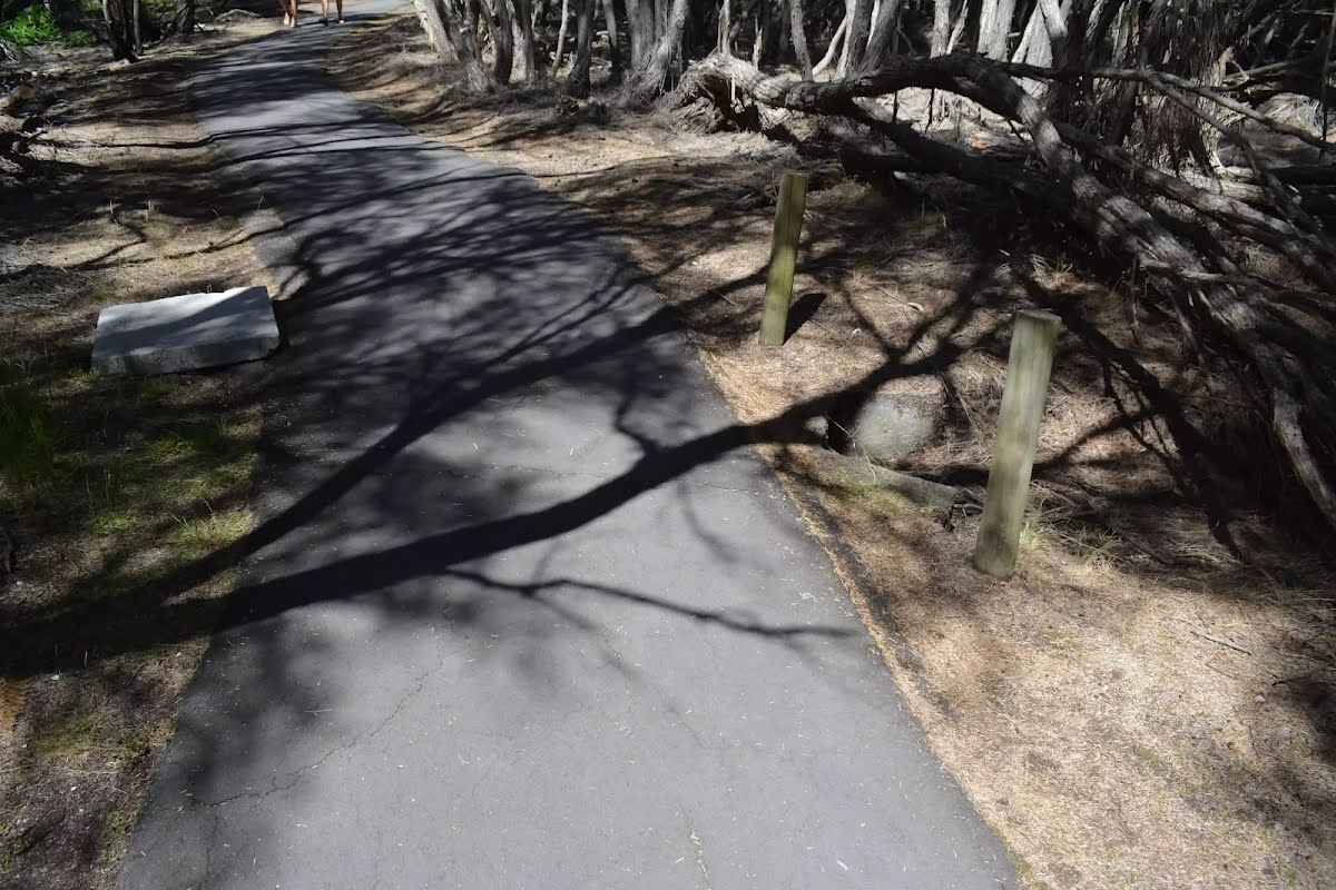
The starting point of an optional sidetrip. An optional side trip to Boyd Tower Intersection. To start this optional side trip turn left here. On returning from this side trip turn left when you get back to this intersection. Details below. 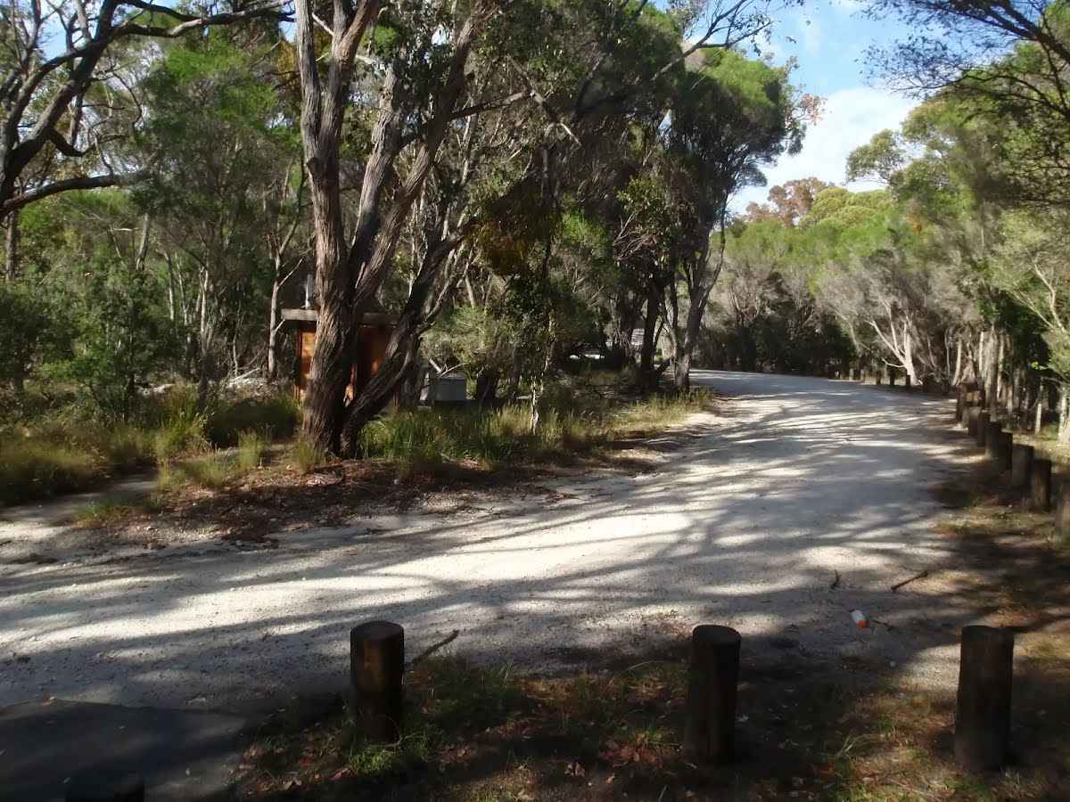 Boyd car park is found at the end 1.1km long unsealed Boyd Tower Rd, Edrom. The car park is spread around a turning circle at the end of the road. There is a concrete path leading to a toilet and water tank (empty) in the middle of the turning circle. Car parking bays are not marked, and there is space for about 20 cars plus a bus. There are no marked mobility parking areas. The surface is a fairly smooth gravel/clay. A manual pay station is available for park entry fees near the sheltered large information sign. The carpark is the start of the Light to Light walk and the path to Boyd Tower.
|
 |
Continue another 2.4 km to find the end. Then turn around here and retrace the main route for 2.4 km to get back to the start.
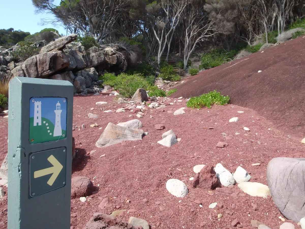 Red sands bay (not officially named) is a north-facing bay between Boyd Tower and Leather Jacket Bay in Ben Boyd National Park. The rocky bay is accessed via the Light to Light walk. The beach in this bay is made up of small boulders and a fine red gravel. Most of the red gravel is on the western side of the bay. The gravel is made from the sea smashing the red siltstone into small pieces. The red sands/gravel of this bay makes for a fantastic contrast on sunny days.
|

|
|
Class 4/6 Hard track |
|---|---|
| Length | 4.8 km |
| Time | 1 h 45 min to 2 h |
| Quality of track | Rough track, where fallen trees and other obstacles are likely (4/6) |
| Gradient | Short steep hills (3/6) |
| Signage | Directional signs along the way (3/6) |
| Infrastructure | Limited facilities (such as cliffs not fenced, significant creeks not bridged) (4/6) |
| Experience Required | No experience required (1/6) |
| Weather | Storms may impact on navigation and safety (3/6) |
| Item | From Start | Name & link to notes |
|---|---|---|
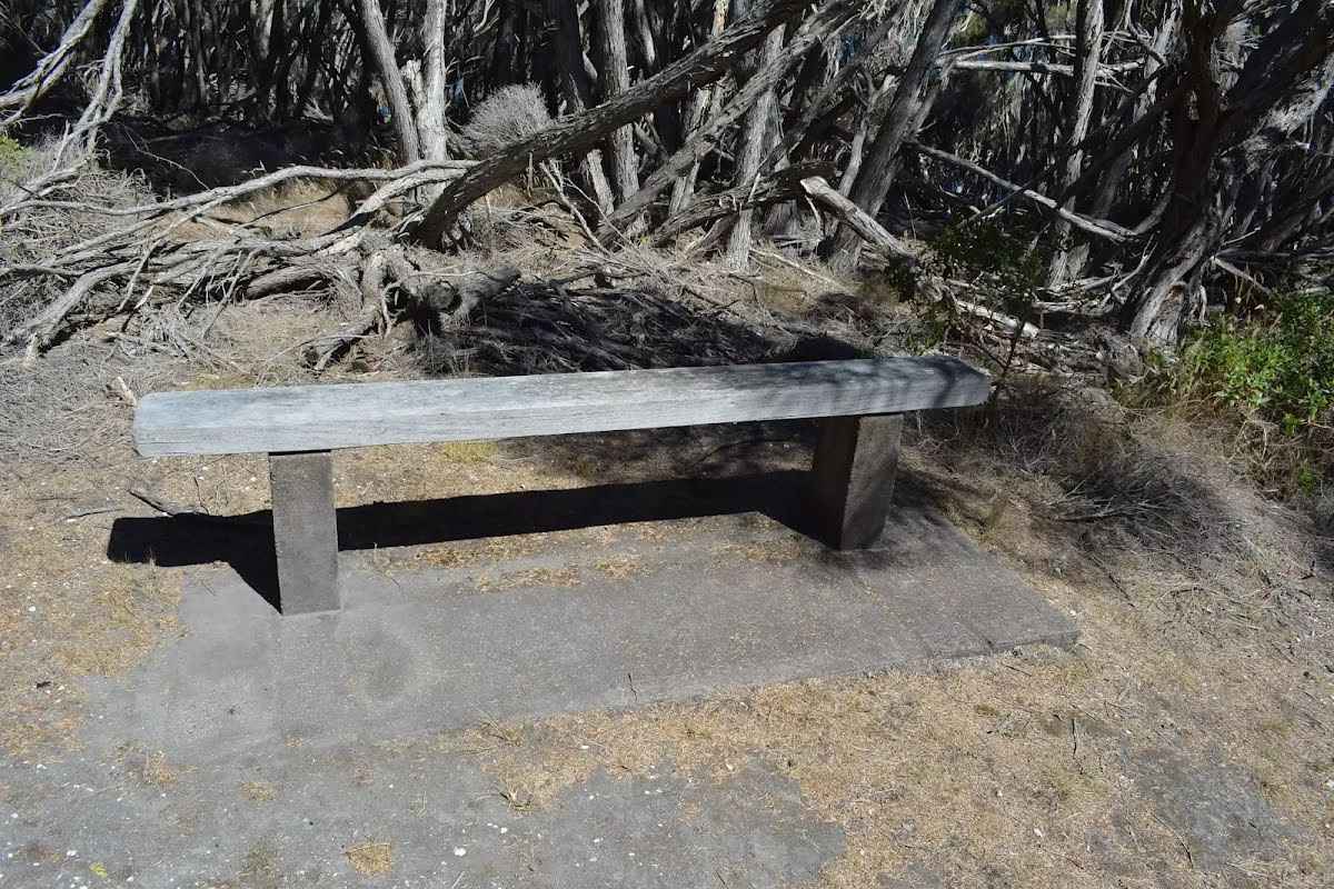
Seat
| 0 m + 420 m | Seat |
Seat
| 0 m + 260 m | Seat |
Entity|toilet
| 30 m | Toilet |