Turner Rd trail
Darug and Guringai Country Country

30 min to 1 h

2 km
return

↑ 35 m
↓ -35 m

Moderate track
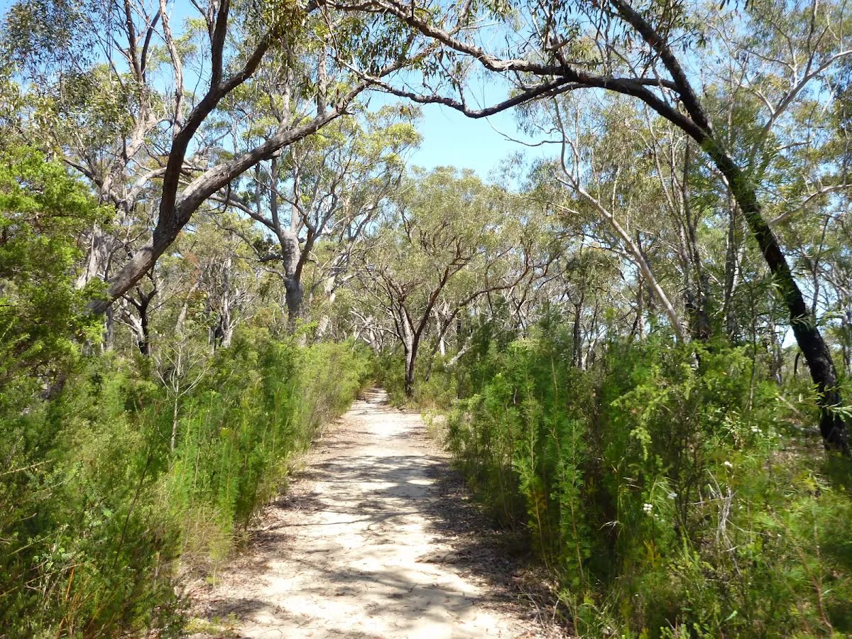
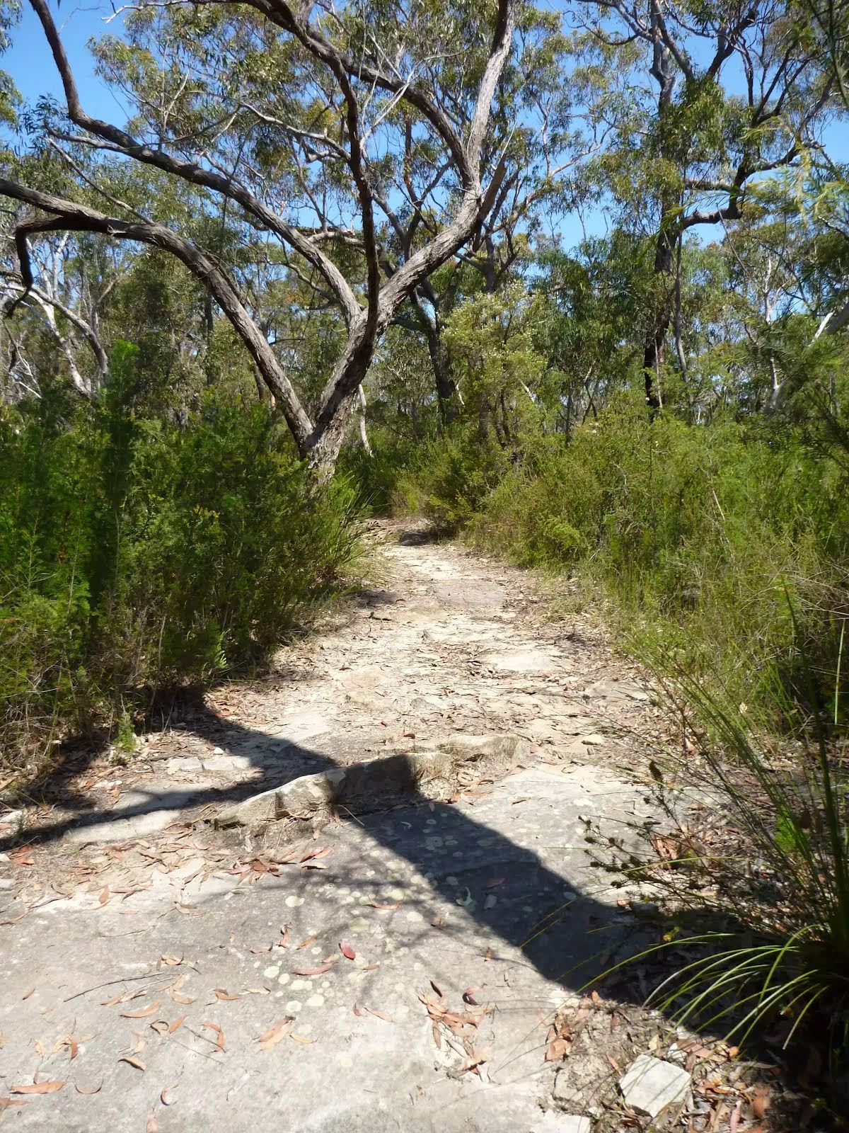
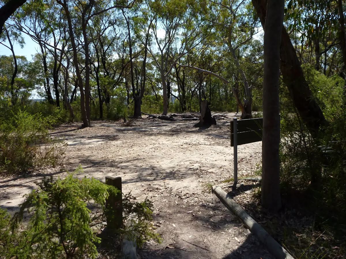
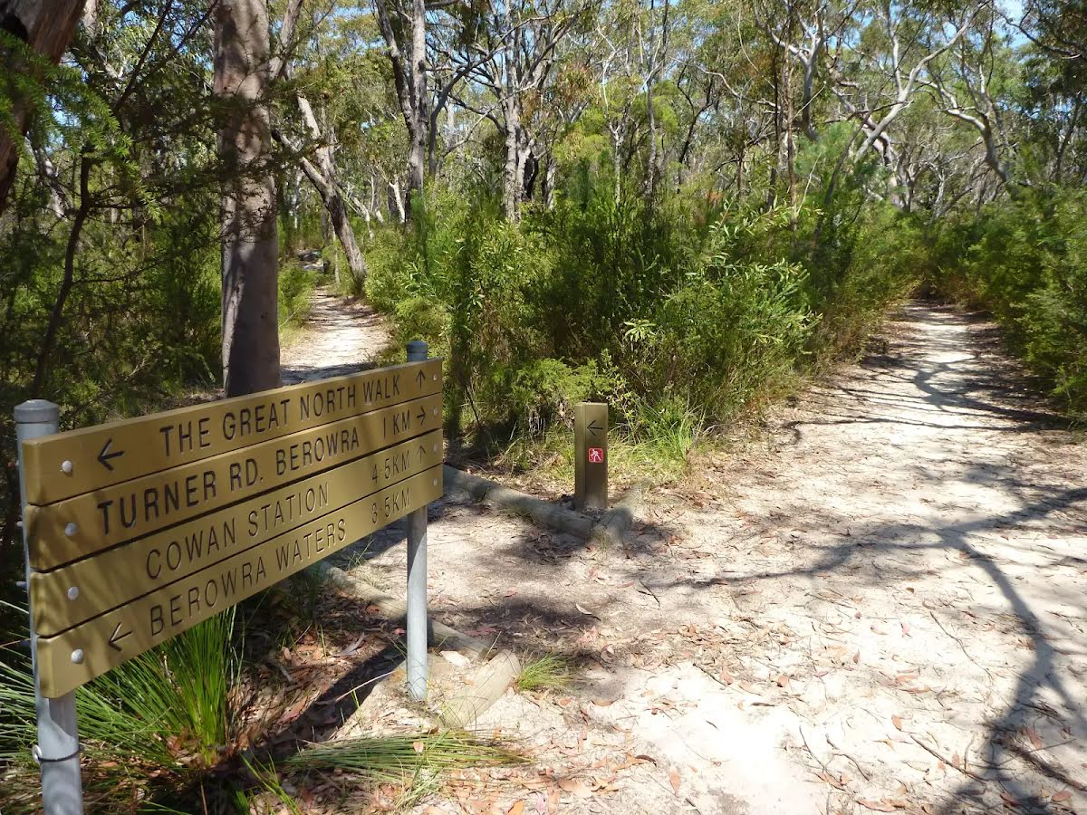
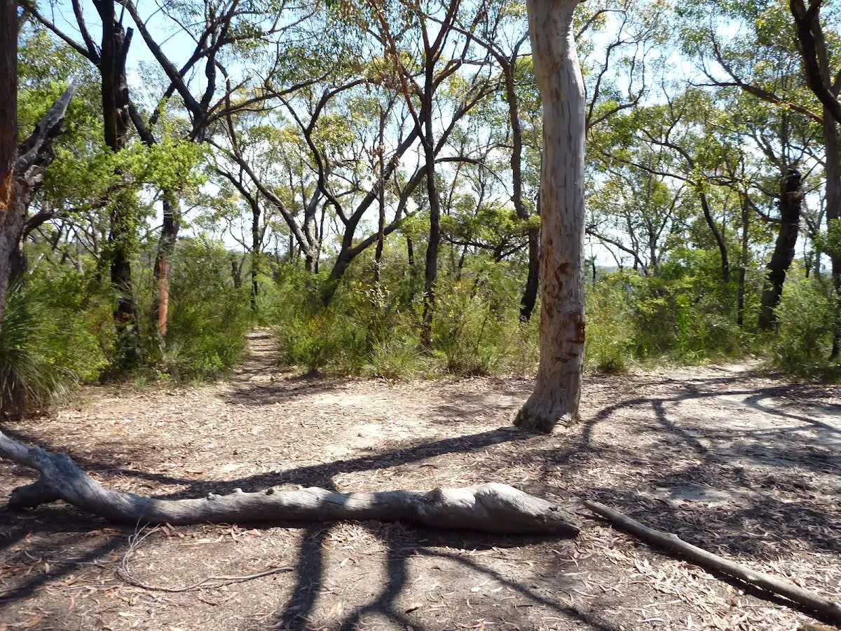
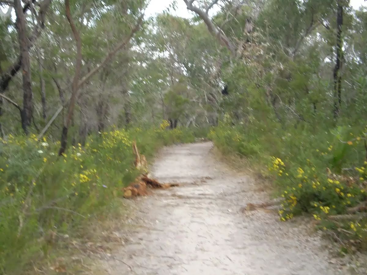
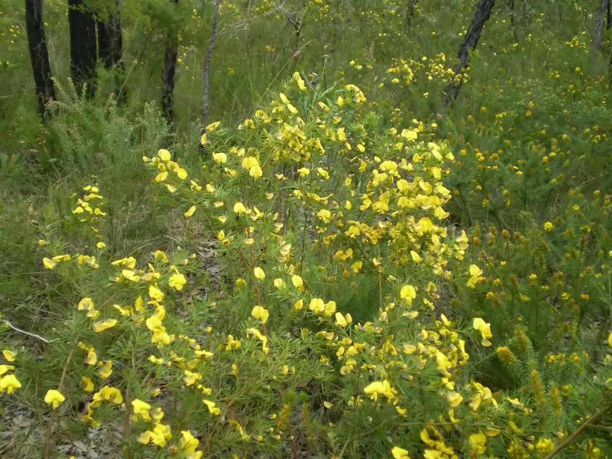
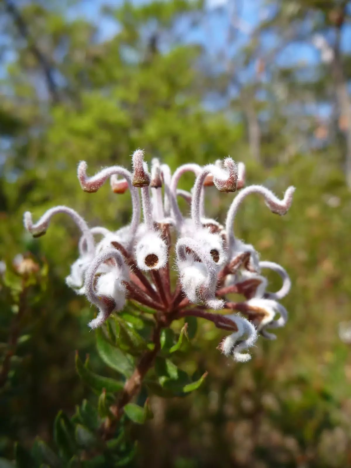
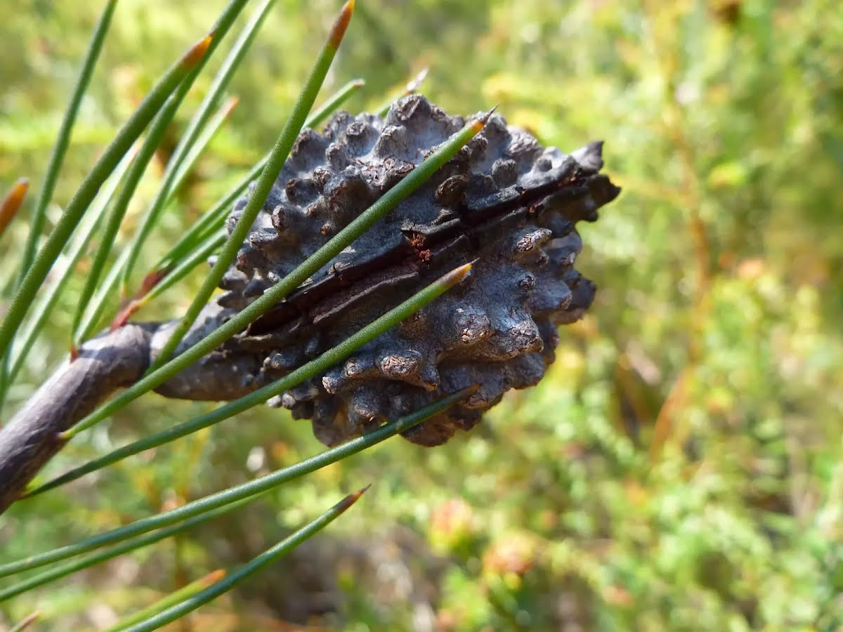
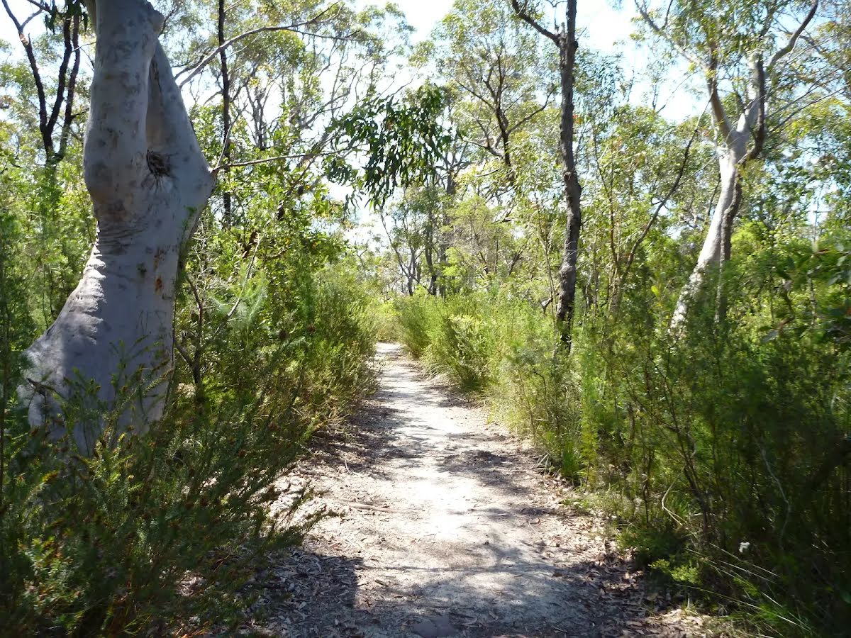
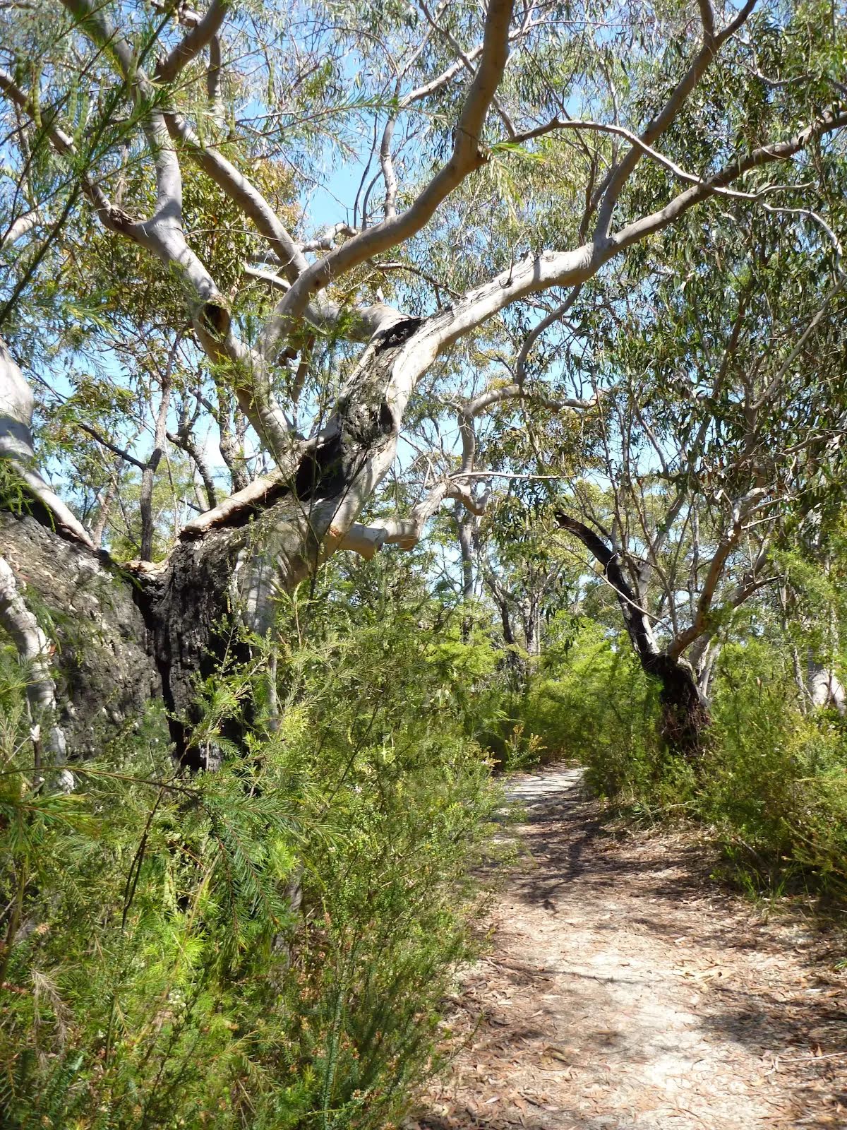
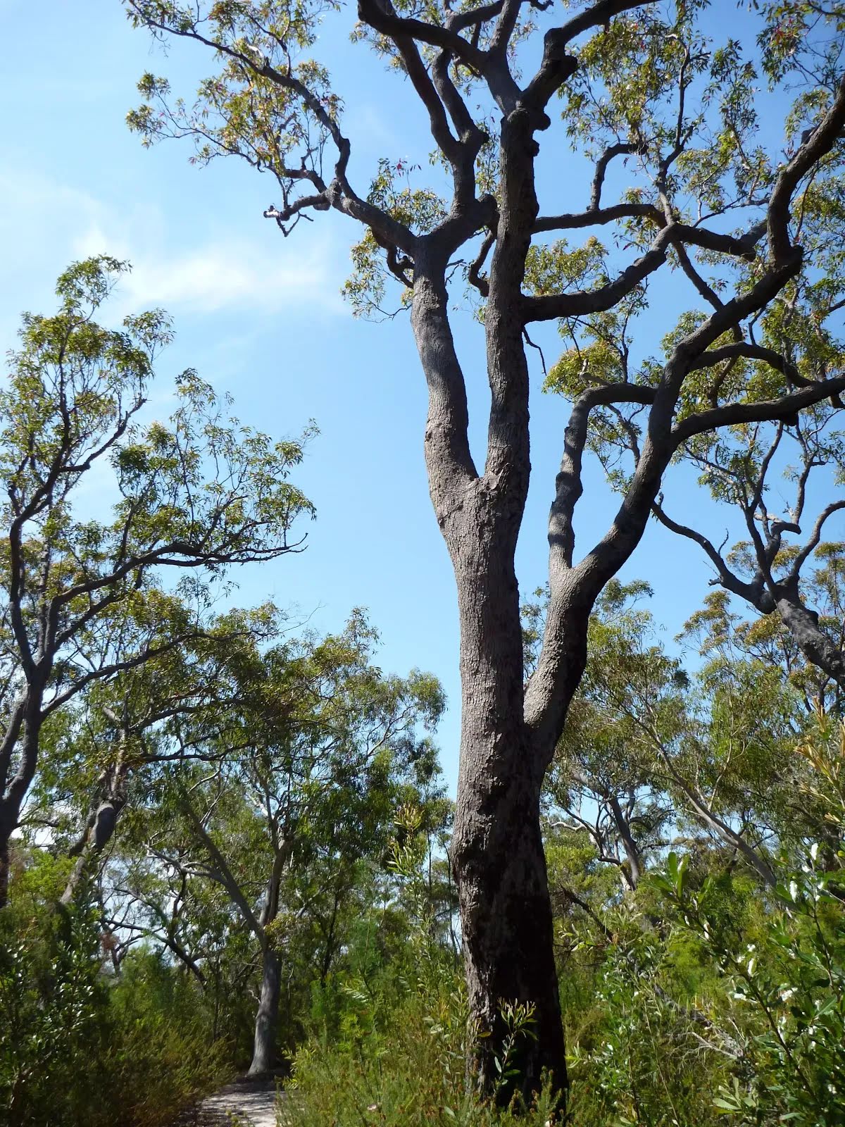
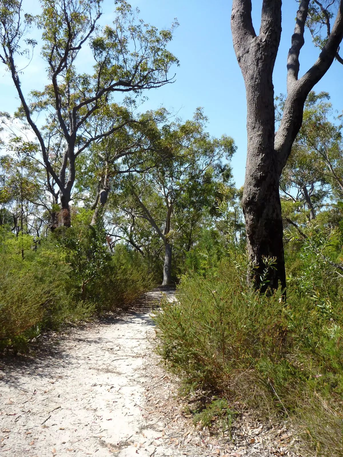
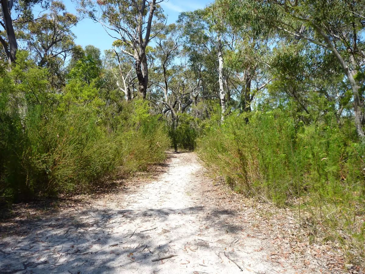
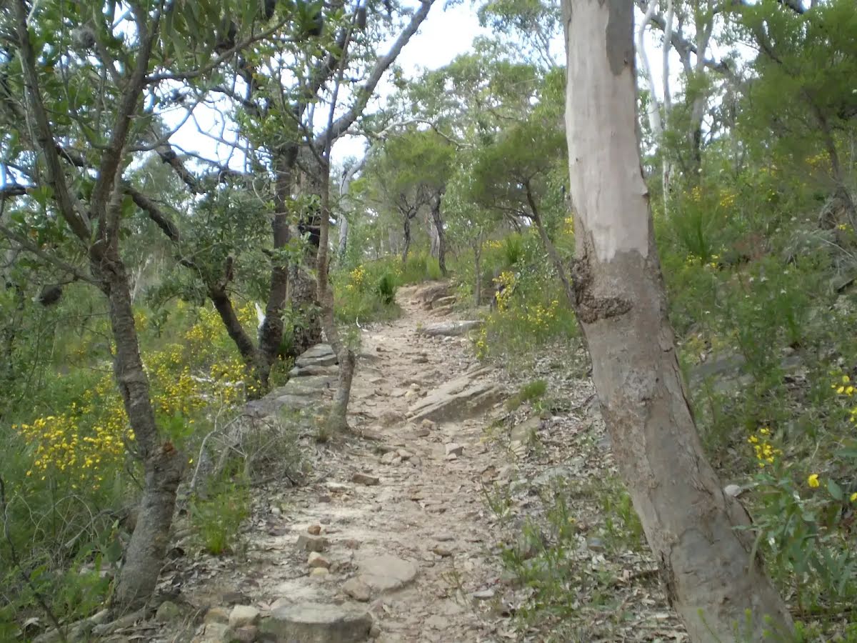
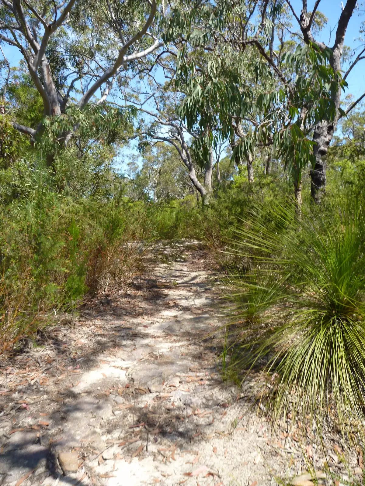
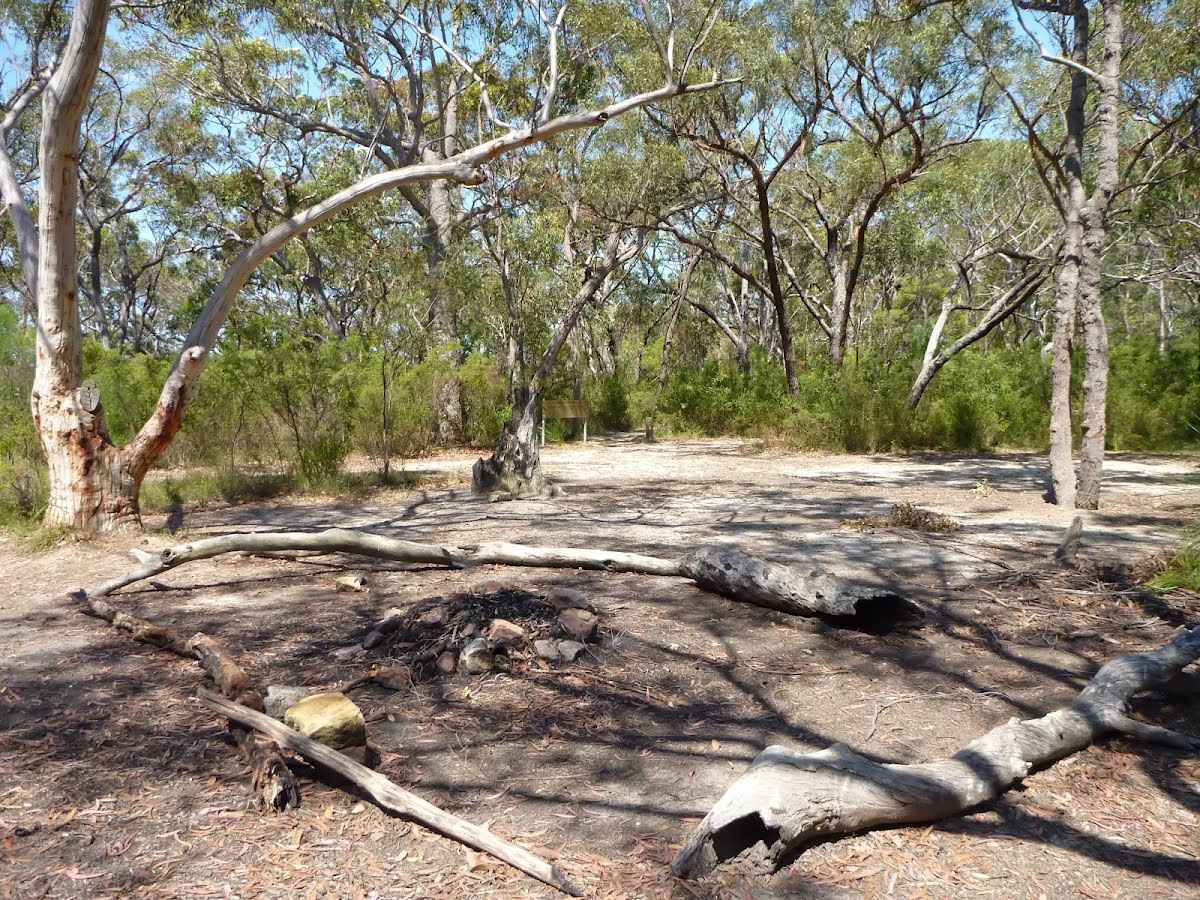
Starting from the end of Turner Road this short walk is great for exploring tracks and trails in the area. Dogs are welcome on this walk, but be mindful not to cross the Muogamarra Nature Reserve border, as you know, dogs are not allowed in nature reserves. This walk is best in spring with the abundance of wildflowers blooming. You will walk past one of the overnight campsites for the Great North Walk and if you explore some of the side tracks there are some great distance views. If leaving the fire trail be mindful there are many cliffs in the area. Let us begin by acknowledging the Darug and Guringai Country people, Traditional Custodians of the land on which we travel today, and pay our respects to their Elders past and present. 
Show all
Photo by admin, 2010.
Ridge top campsite. | Photo by admin, 2010.
Example of Servicetrail. | Photo by admin, 2007.
Rocky trail near ridge top campsite. | Photo by admin, 2010.
Graceful Bush Pea (Pultenaea flexilis). | Photo by admin, 2007.
Grey Spider Flower (Grevillea Buxifolia). | Photo by admin, 2010.
Hakea pod. | Photo by admin, 2010.
Photo by admin, 2010.
Photo by admin, 2007.
Photo by admin, 2010.
Downloads GPX PDF

+
-
Safer Bushwalks
Tips on staying safe on track
Before you start any bushwalk ensure you;
• Tell someone you trust where you are going and what to do if you are overdue
• Have adequate equipment, supplies, skills & knowledge for the whole journey
• Consider the impact of weather forecasts, park/track closures & fire dangers
• Can respond to emergencies & call for help at any point
• Are healthy and fit enough for this journey
If not, change plans and stay safe. It is okay to delay and ask people for help.
+
-
Getting There
Transport options and directions
Start At the intersection of Coreen Close & Woodcourt Firetrail (-33.6000153,151.1358515)
Mode Car
DirectionsFrom Pacific Highway Offramp, Brooklyn.
  • Turn on to Berowra Waters Road, 11 then drive for 130 m
  • At roundabout, take exit 1 onto Berowra Waters Road, 11 and drive for another 270 m
  • At roundabout, take exit 2 onto Berowra Waters Road, 11 and drive for another 1.4 km
  • At roundabout, take exit 2 onto Turner Road and drive for another 1.8 km
+
-
Track Notes
Turn by turn instructions & maps
Getting started
From the end of Turner Rd, Berowra Heights, (at the intersection with Coreen Cl), this walk starts by heading along the dirt fire trail around the green metal gate to follow the yellow 'Turner' fire trail sign gently uphill.....
Turn map Directions & comments
At the intersection of Coreen Close & Woodcourt Firetrail Start heading along Woodcourt Firetrail (a vehicle track).
Find the gate at the start.
After another 70 m (at the intersection of Woodcourt Firetrail & Turner Firetrail) veer left, to head along Turner Firetrail.
After another 80 m continue straight, to head along Turner Firetrail.
After another 285 m come to the viewpoint (15 m on your left).
After another 120 m (at the intersection of Turner Firetrail & Firetrail) turn left, to head along Turner Firetrail.
After another 225 m (at the intersection of The Great North Walk & Turner Firetrail) continue straight, to head along Great North Walk - Firetrail.
After another 6 m find the "Ridge Top Campground" (8 m on your left).
Ridge Top Campground

About 800m from Turners Rd, Berowra Heights lies this pleasant ridge top campsite. This is a fairly popular campsite on the Great North Walk, providing a flat area with plenty of shade. There are no facilities (or water) at this large campsite. A faint track leads west from the campsite to an unfenced cliff with great views over the Berowra Waters Valley.
+
-
About 800m from Turners Rd, Berowra Heights lies this pleasant ridge top campsite. This is a fairly popular campsite on the Great North Walk, providing a flat area with plenty of shade. There are no facilities (or water) at this large campsite. A faint track leads west from the campsite to an unfenced cliff with great views over the Berowra Waters Valley.

Continue another 200 m to find the end. Then turn around here and retrace the main route for 990 m to get back to the start.
+
-
Terrain
Know the Hills, grading & facilities

Turner Rd trail


Grading
Class 3/6
Moderate track
Length 2 km
Time 30 min to 1 h
Quality of track Formed track, with some branches and other obstacles (3/6)
Gradient Short steep hills (3/6)
Signage Clearly signposted (2/6)
Infrastructure Generally useful facilities (such as fenced cliffs and seats) (2/6)
Experience Required No experience required (2/6)
Weather Weather generally has little impact on safety (2/6)

Some facilities on route
Campsite: There is one 800 m from the start.


Order of key facilities on route
ItemFrom StartName & link to notes
Campsite
800 mRidge Top Campground
+
-
Reviews & Feedback
Share your experience
+
-
Weather & Alerts
Check forecasts & closures
Show Full Weather
Alerts and Closures
Show all alerts
Show all alerts
Show all alerts
+
-
Other Journeys
Discover nearby and similar journeys
Some of the information and maps on this page was generated using data from the awesome © OpenStreetMap contributors.
Please see how you can embed some widgets, access data and other stuff to that might be helpful.