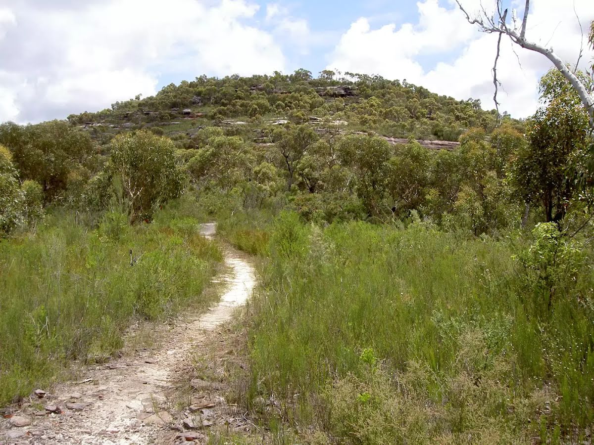
Starting with a steep climb from Wondabyne Train station you will explore a series of large rock platforms with wide views over the Brisbane Water National Park and visit Scopas Peak. When back in the valley you'll walk along the cool Mooney Mooney Creek before reaching Somersby. The rural area is soon left behind when you reach rainforest of the Palm Grove Nature Reserve where you can observe the Strangler Fig Trees, Cabbage Palms and Eucalyptus trees. You'll pass the rural area of Ourimbah Valley to get to the historic Bumble Hill Dray Track and finish the walk at Yarramalong. Let us begin by acknowledging the Traditional Custodians of the land on which we travel today, and pay our respects to their Elders past and present.
Before you start any bushwalk ensure you;
• Tell someone you trust where you are going and what to do if you are overdue
• Have adequate equipment, supplies, skills & knowledge for the whole journey
• Consider the impact of weather forecasts, park/track closures & fire dangers
• Can respond to emergencies & call for help at any point
• Are healthy and fit enough for this journey
If not, change plans and stay safe. It is okay to delay and ask people for help.
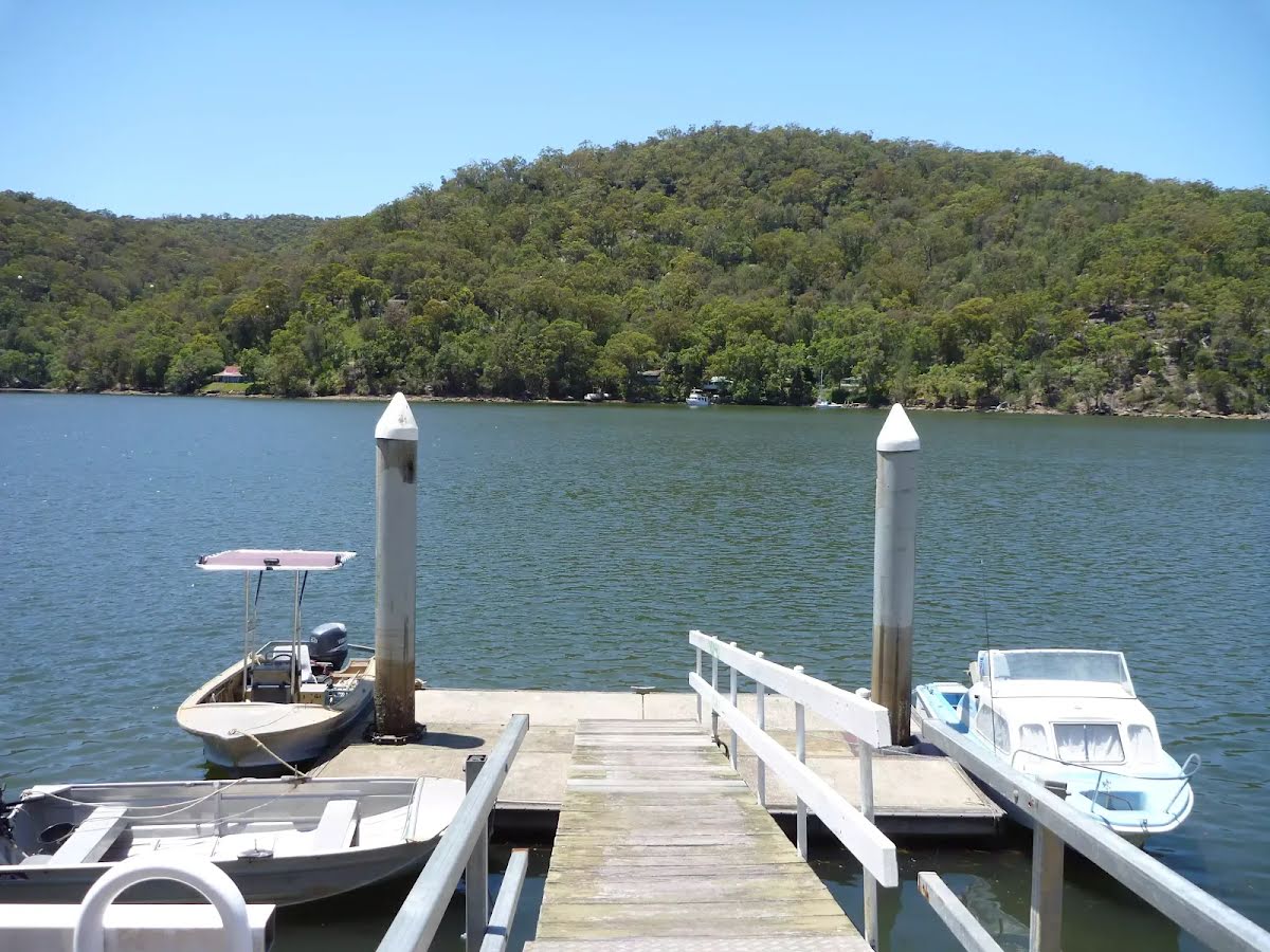
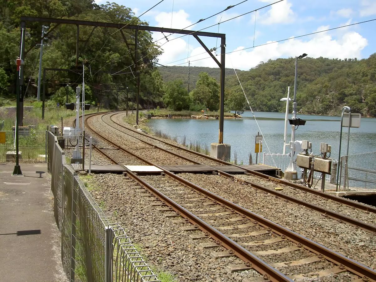
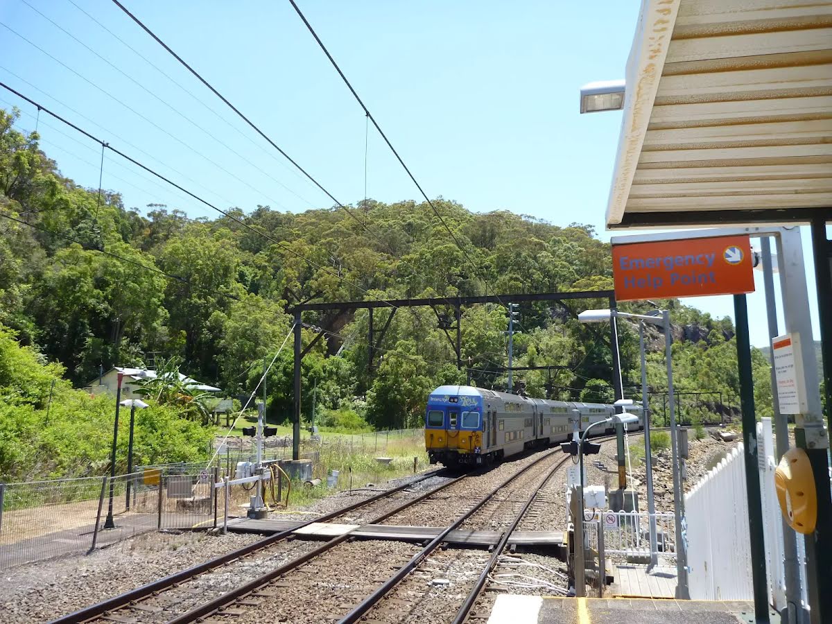
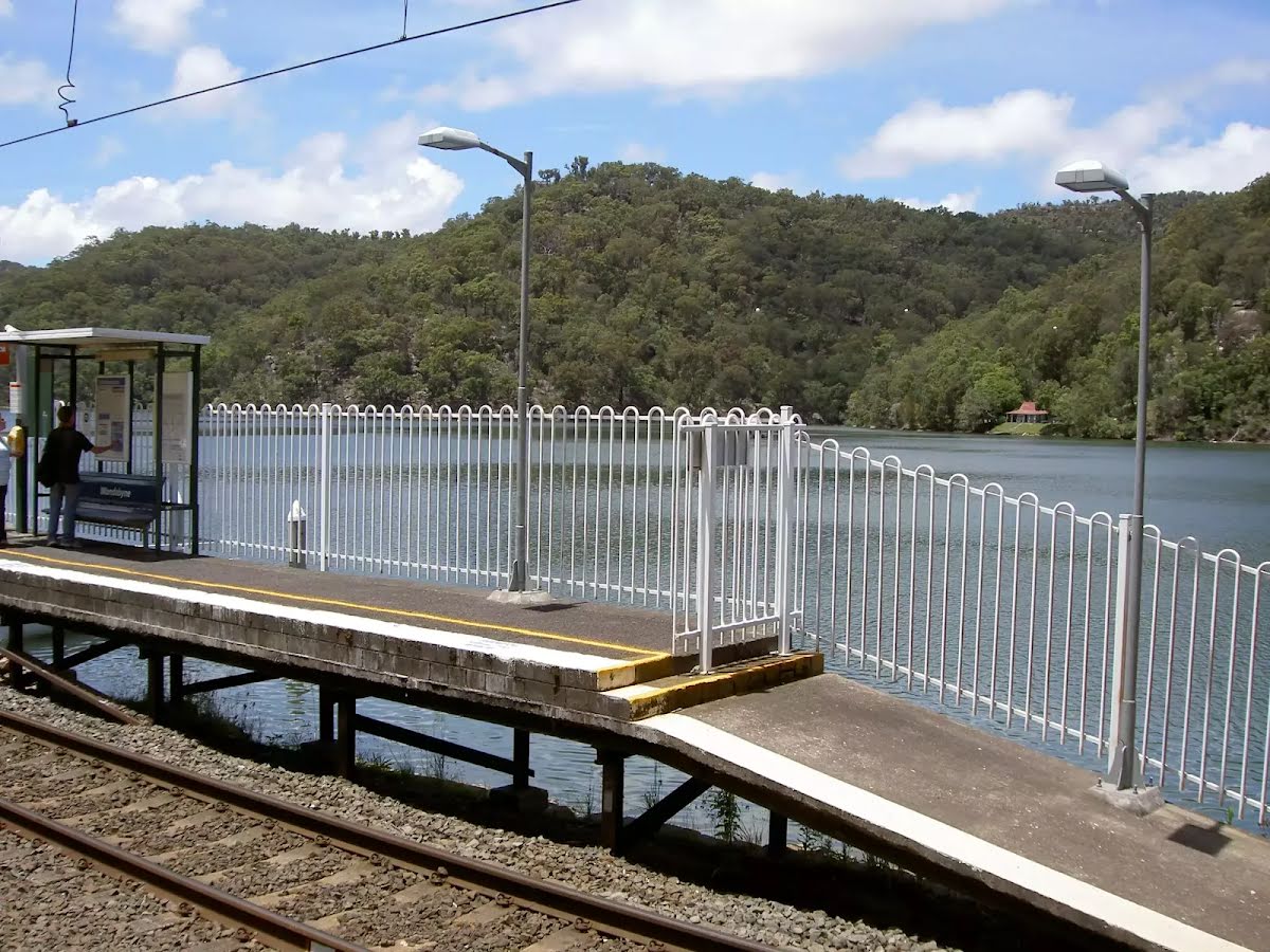
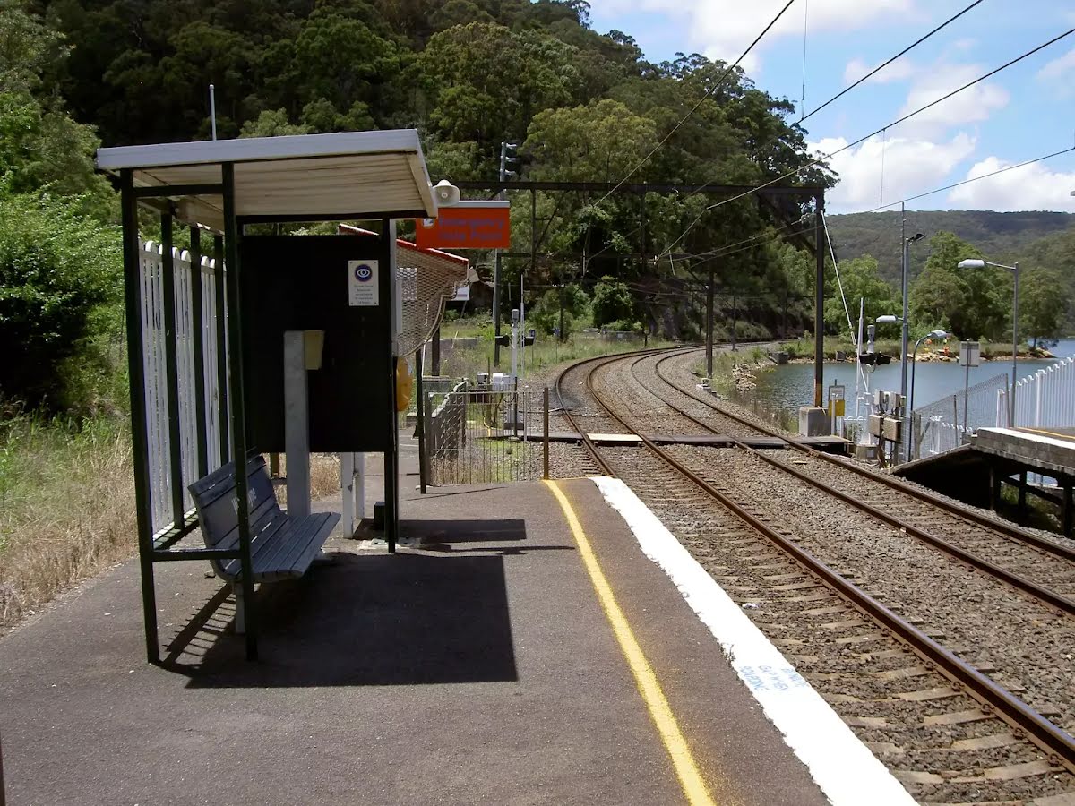
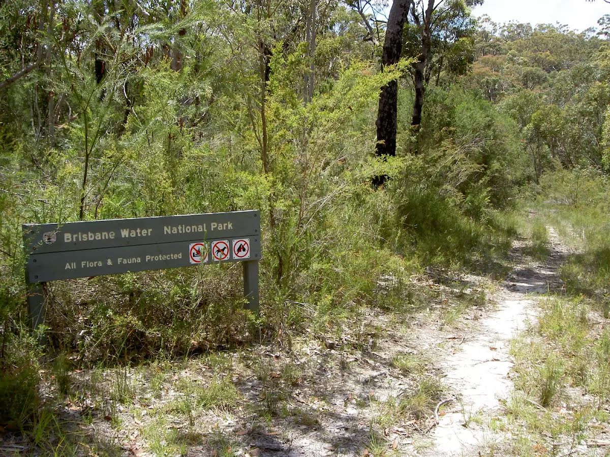
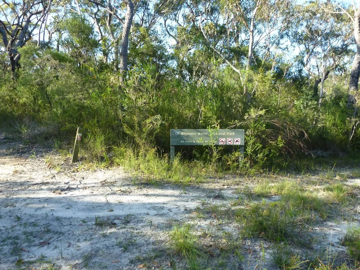
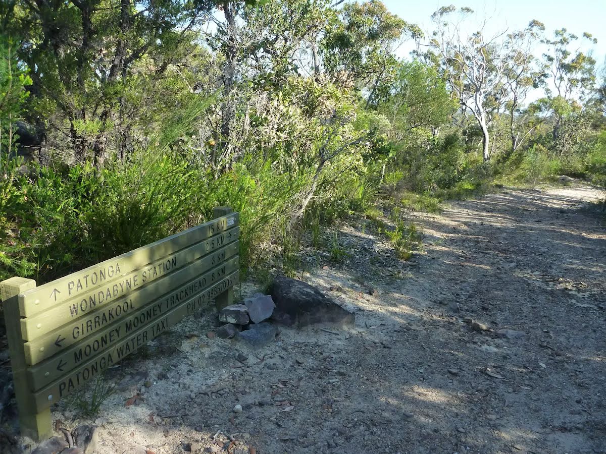
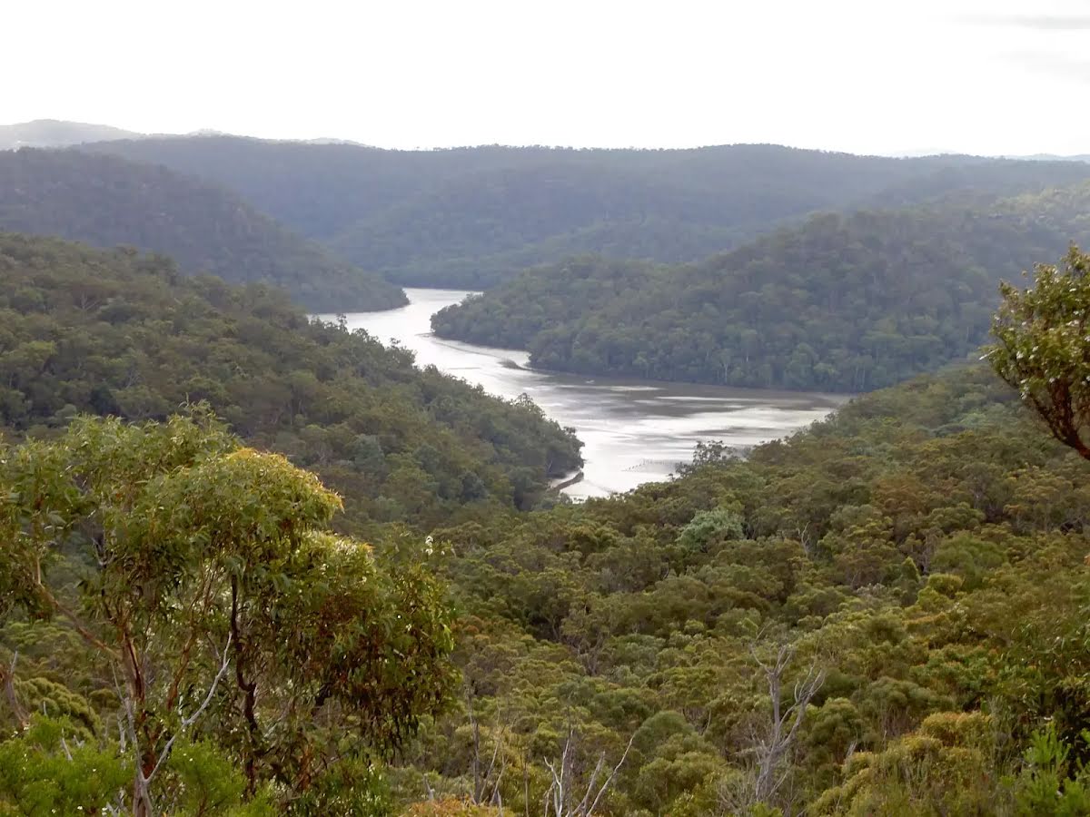
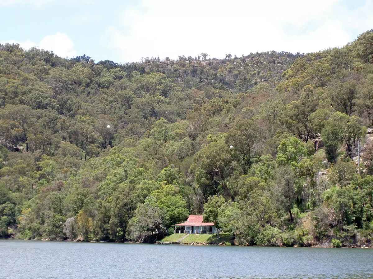
Wondabyne is situated in Brisbane Waters National Park on the banks of Mullet River, which feeds into the Hawkesbury River north of Brooklyn. The area is defined by the National Park's flora and fauna, the quarry, railway station and a few houses sitting above the water around the river. The quarry produced sandstone building materials, used in the construction of the National War Memorial in Canberra. More recently, in 2000, the quarry was re-opened for restoration of St Mary's Cathedral spire in Sydney. Wondabyne Station, named after the nearby Mt Wondabyne, was built in 1889 and exclusively used for the quarry - it was then known as Mullet Creek Station. The station is one of the smallest on the line and one of very few railway stations in a NSW National Park. When you catch the train to Wondabyne, let the guard know you want to get off at Wondabyne Station, otherwise the train will not stop. Travel in the last carriage as the platform is very short. To catch the train from Wondabyne, wave to the driver.
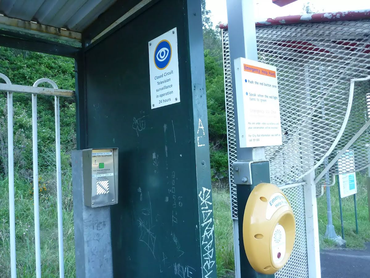
After another 10 m turn right.
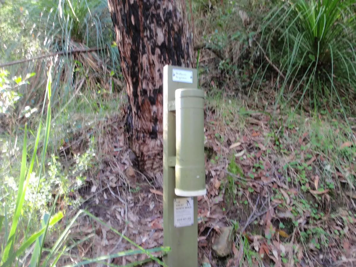
After another 15 m pass the emergency call device (4 m on your left).
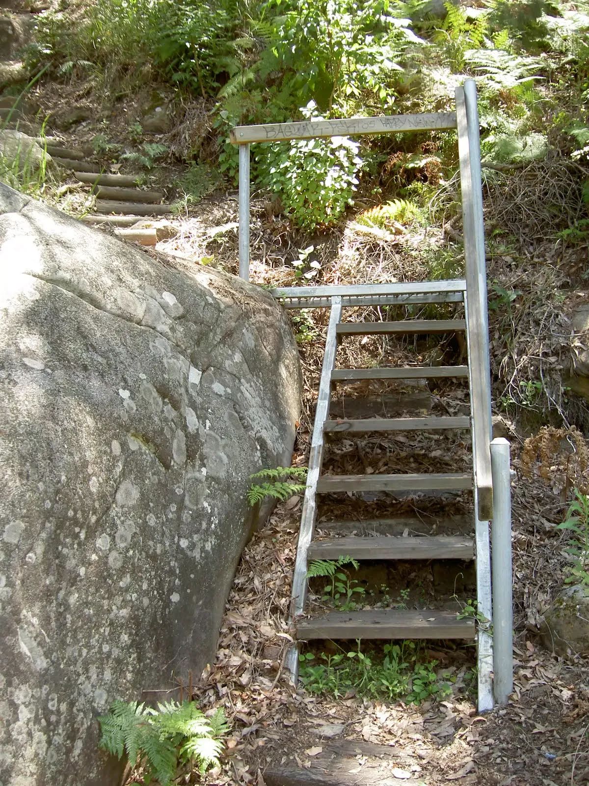
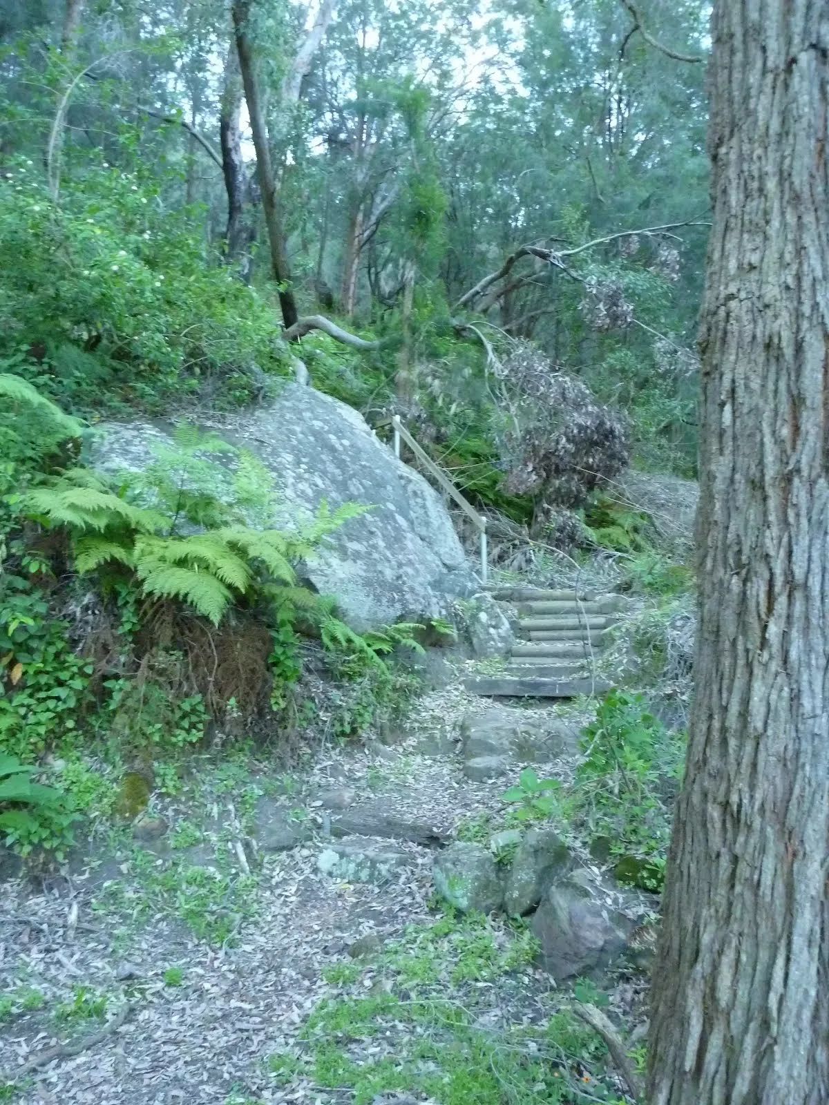
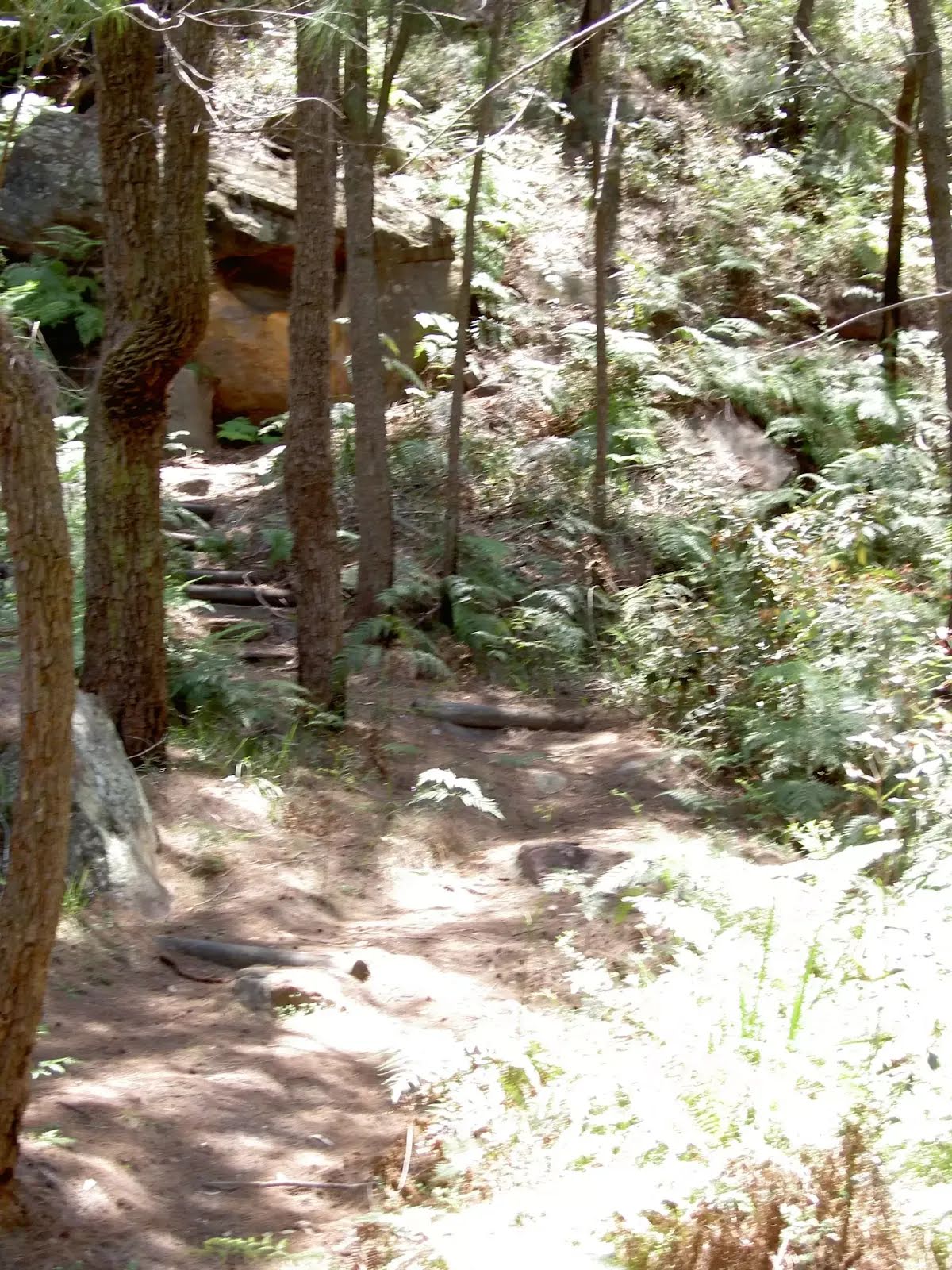
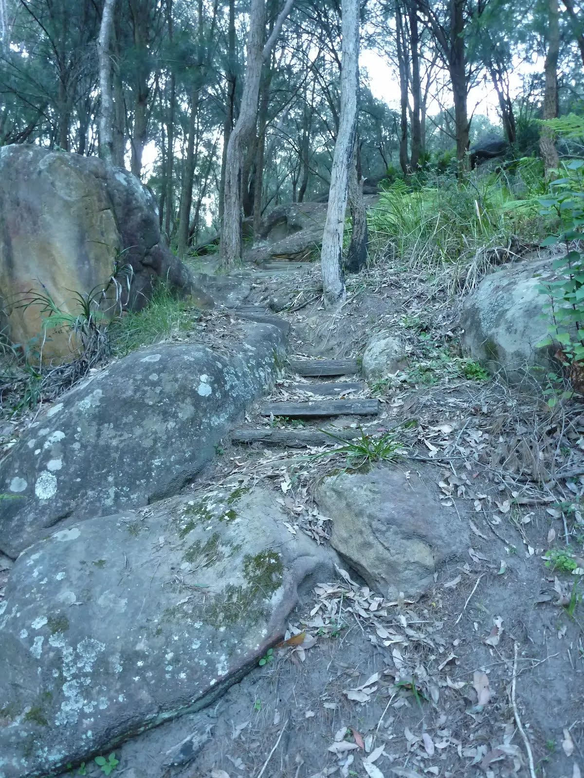
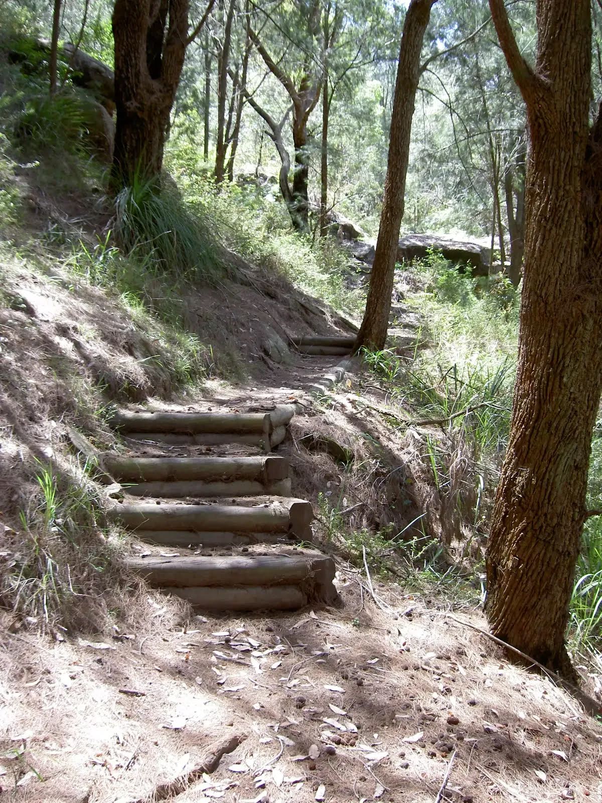
After another 130 m head up the steps (about 30 m long)
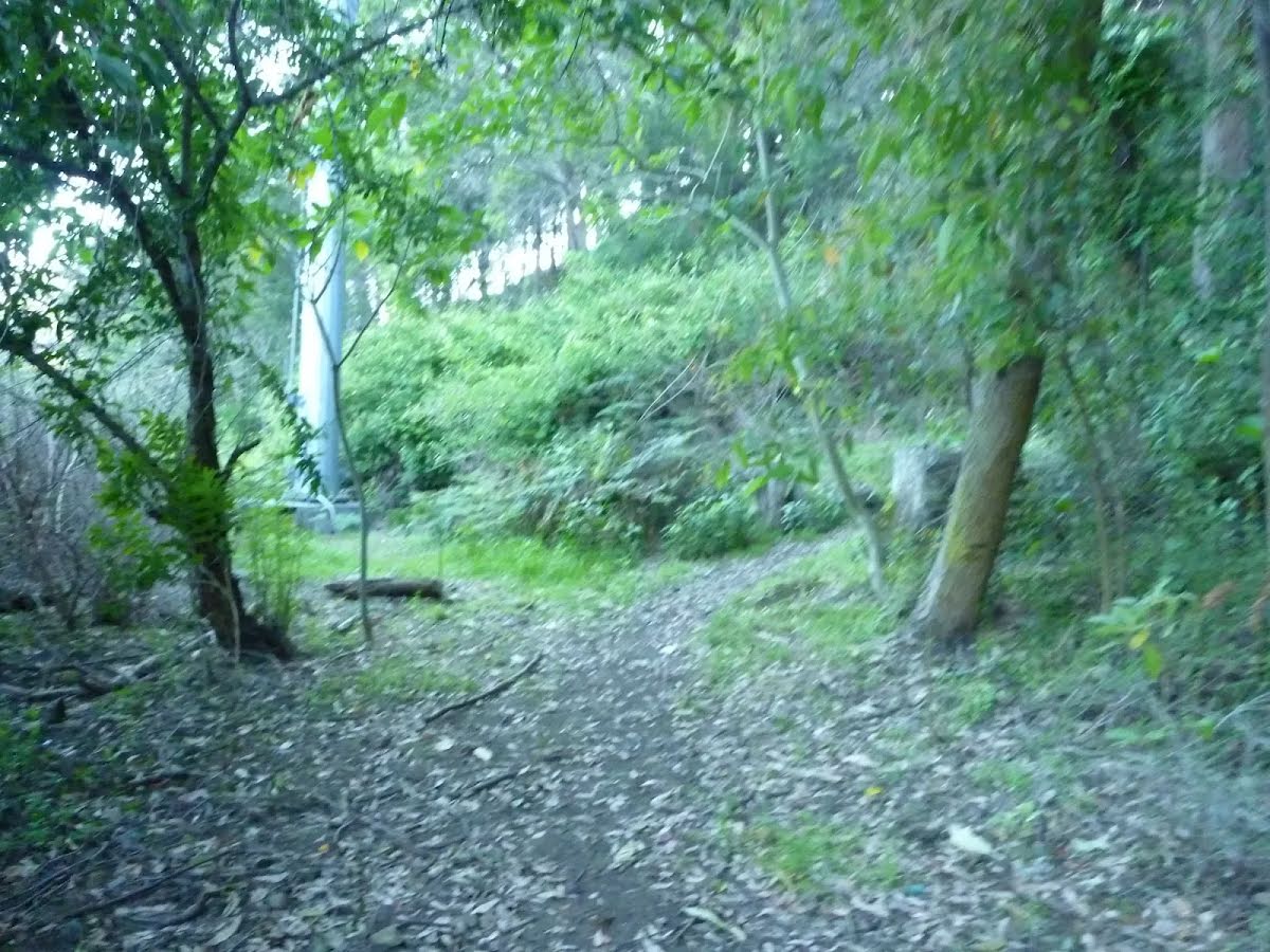
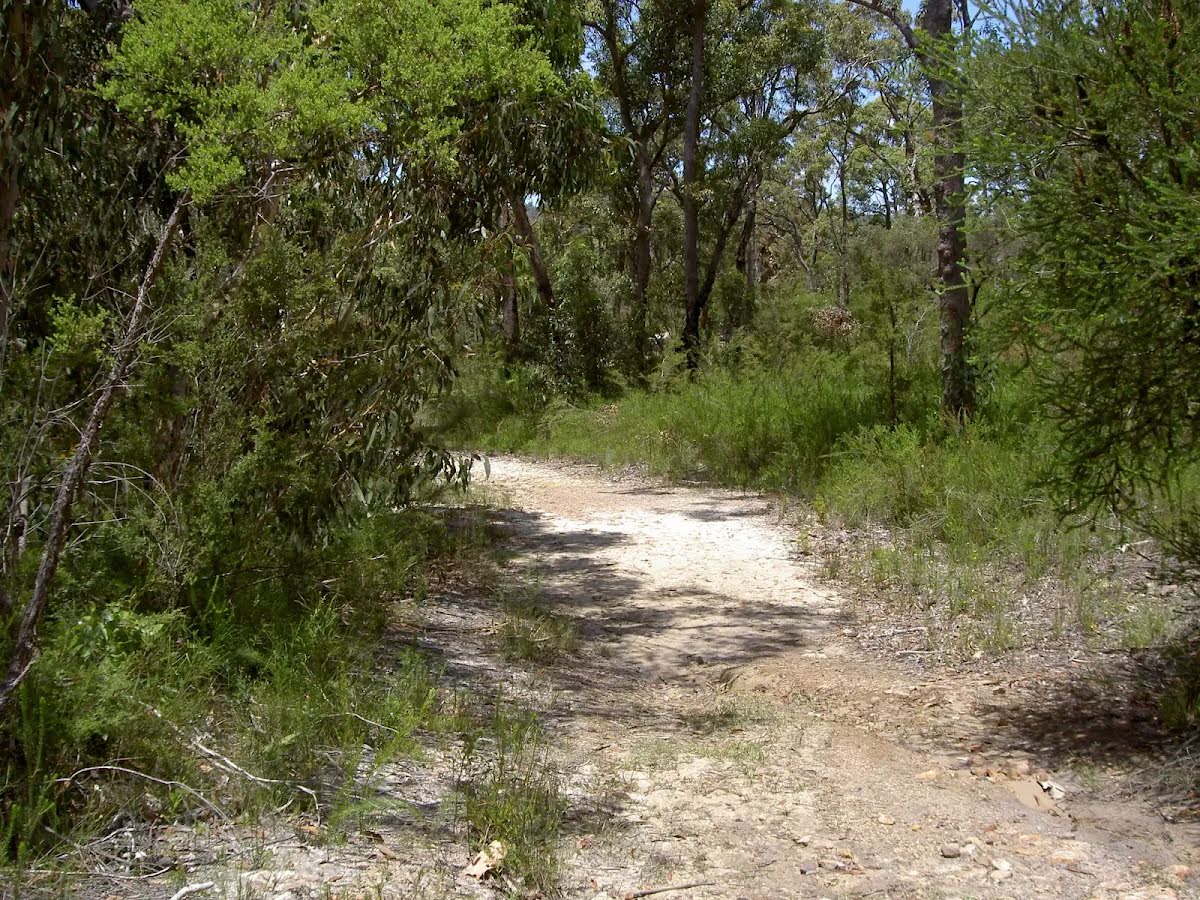
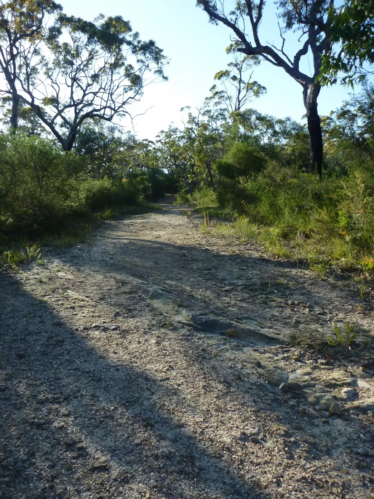
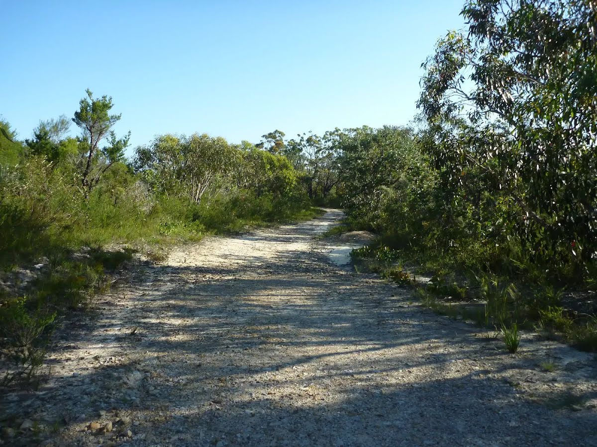
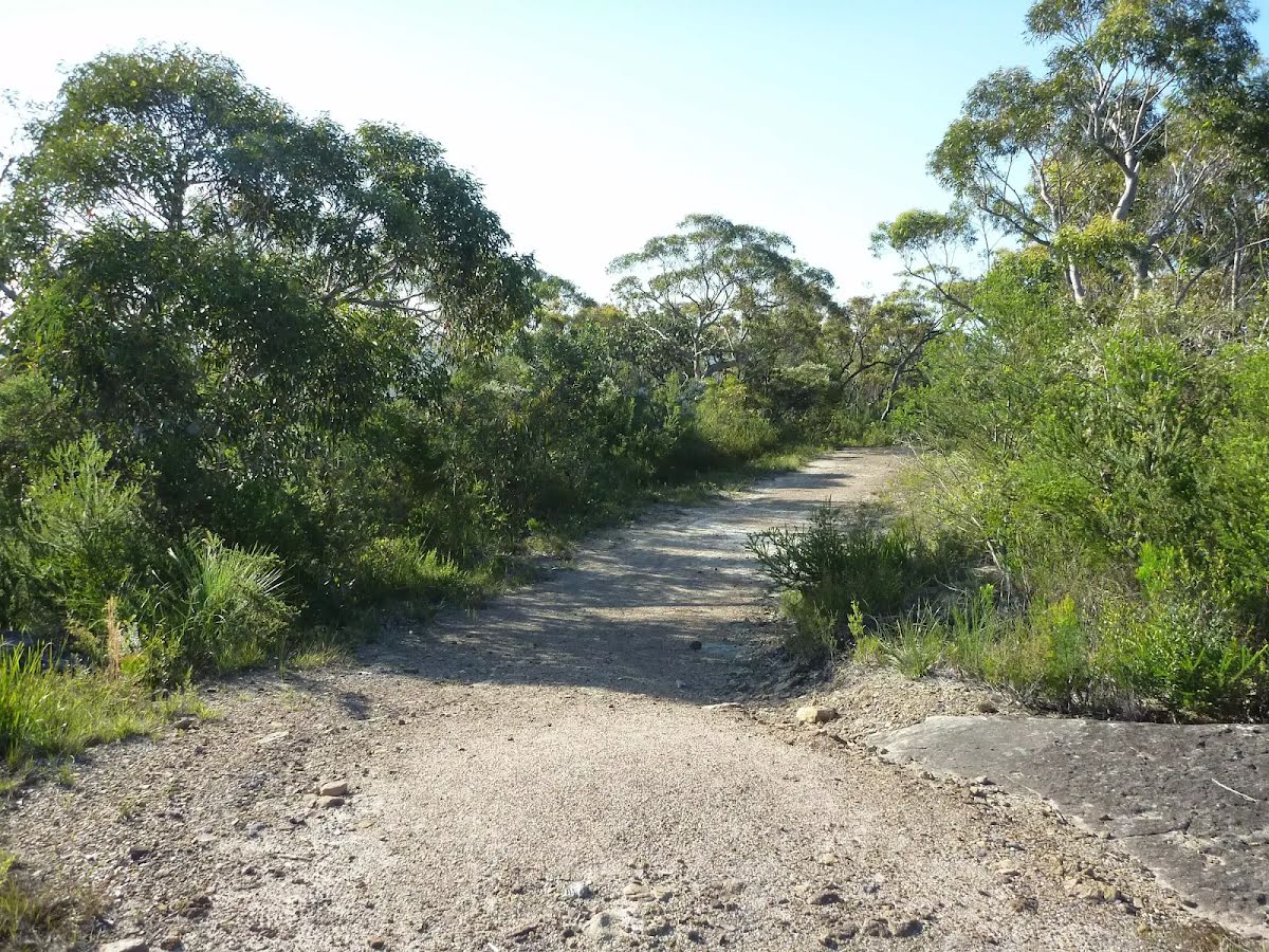
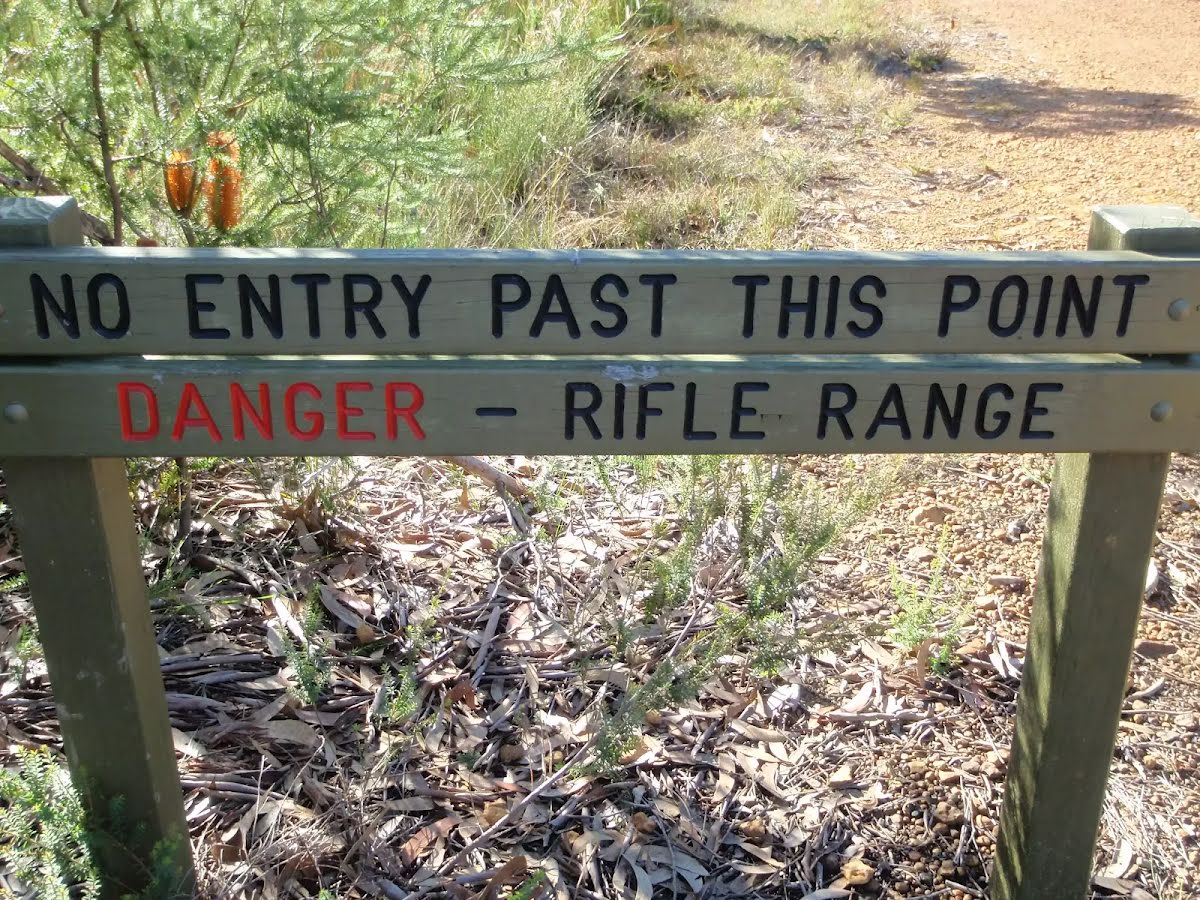
After another 315 m continue straight, to head along Rifle Range Firetrail.
After another 960 m (at the intersection of Rifle Range Firetrail & Pindar Walking Track) continue straight, to head along Rifle Range Firetrail.
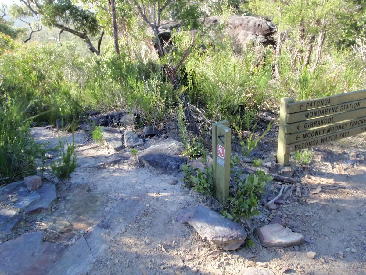
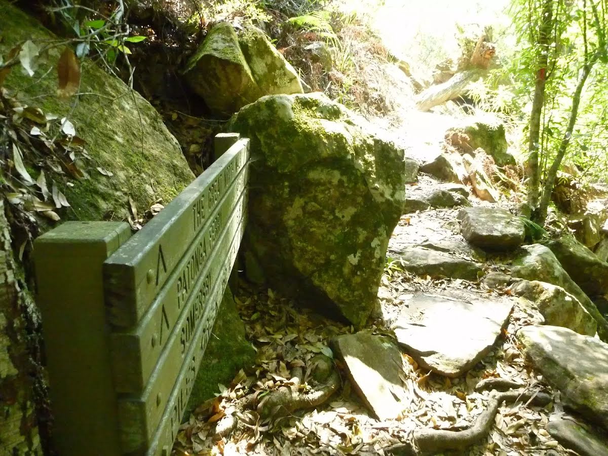
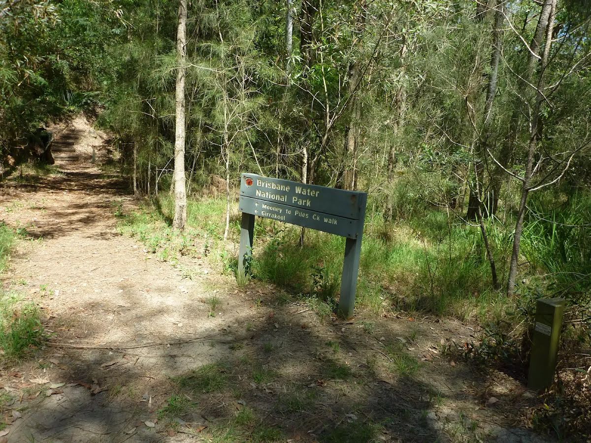
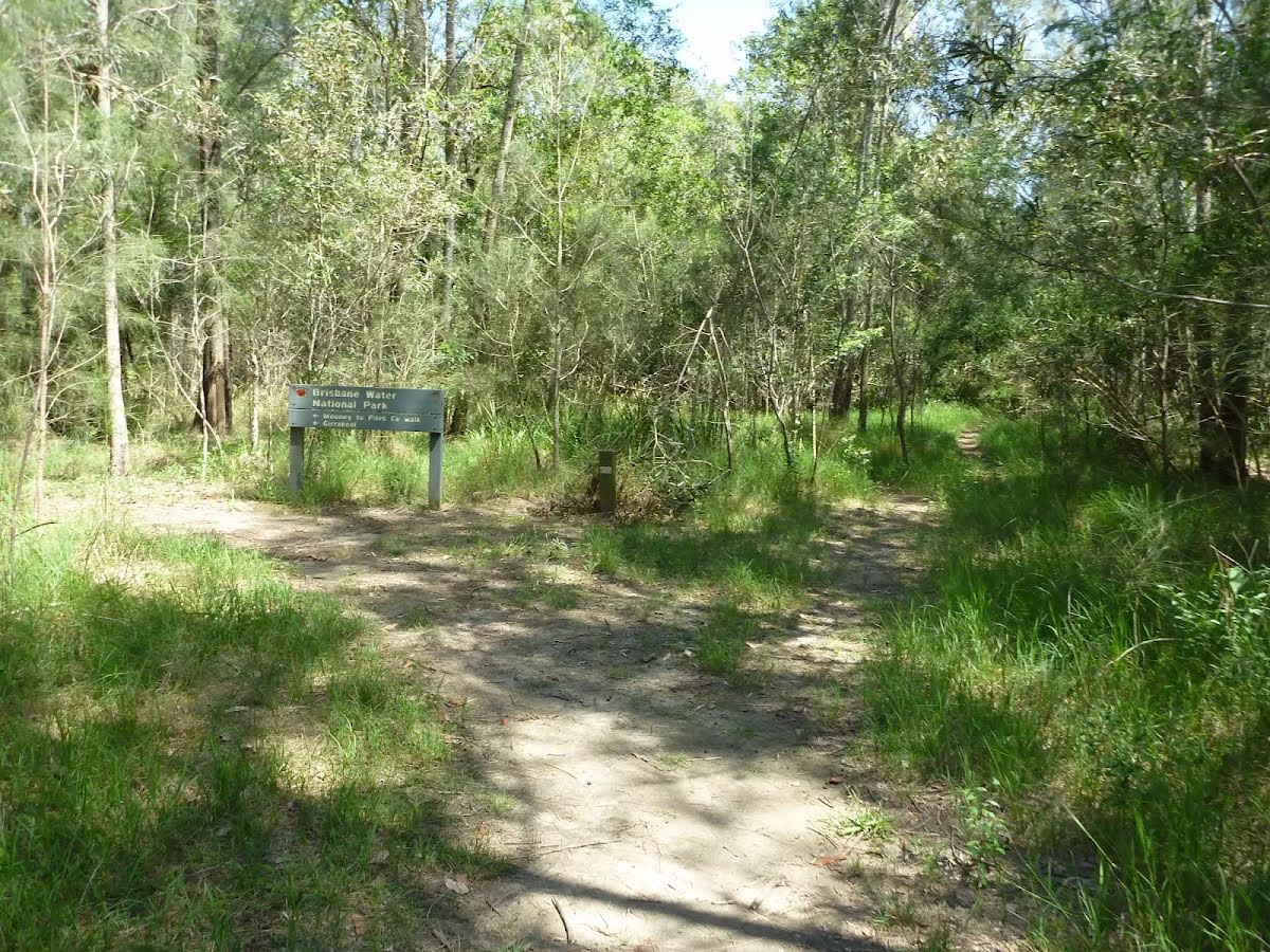
After another 650 m pass the sign (on your right).
Continue straight, to head along Rifle Range Firetrail.
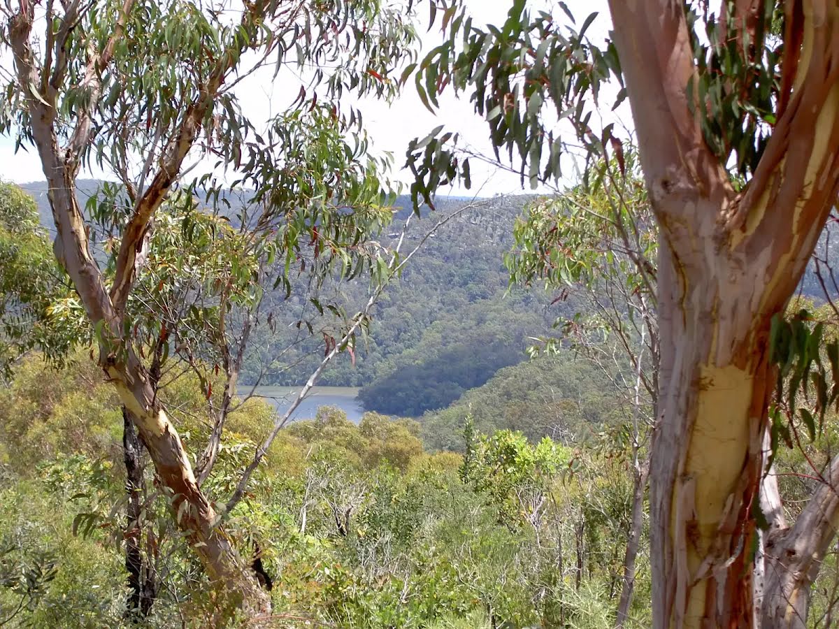
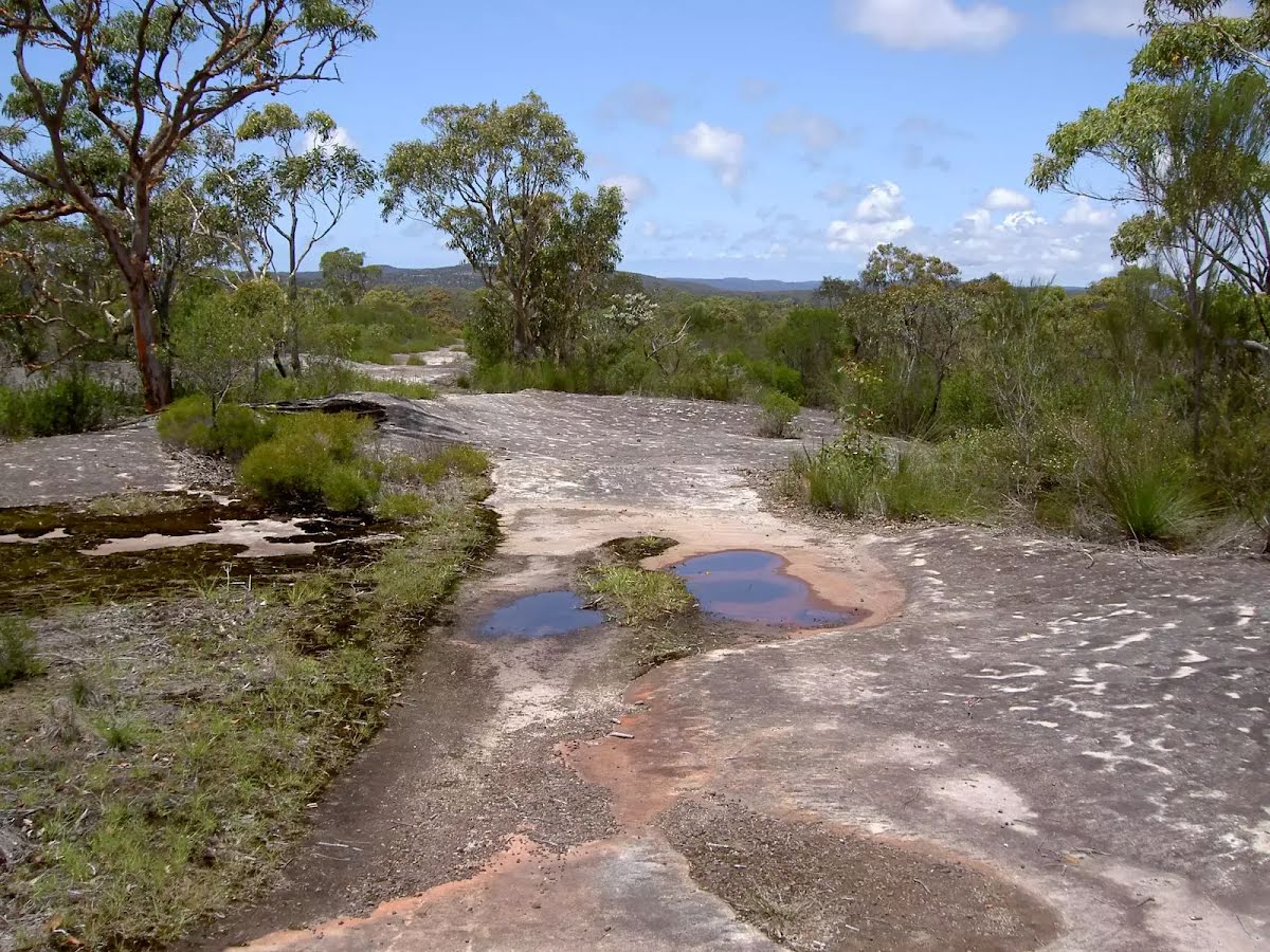
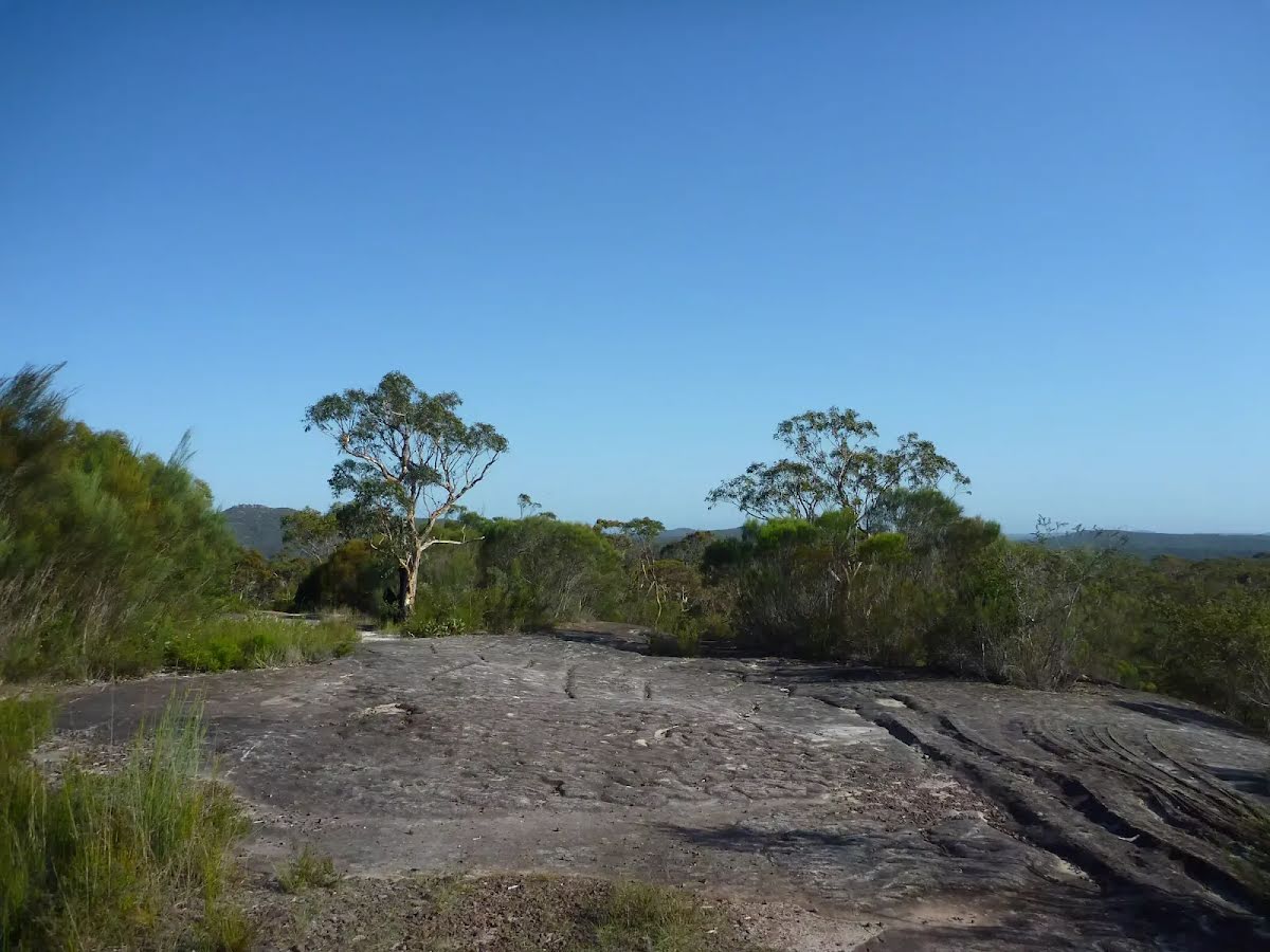
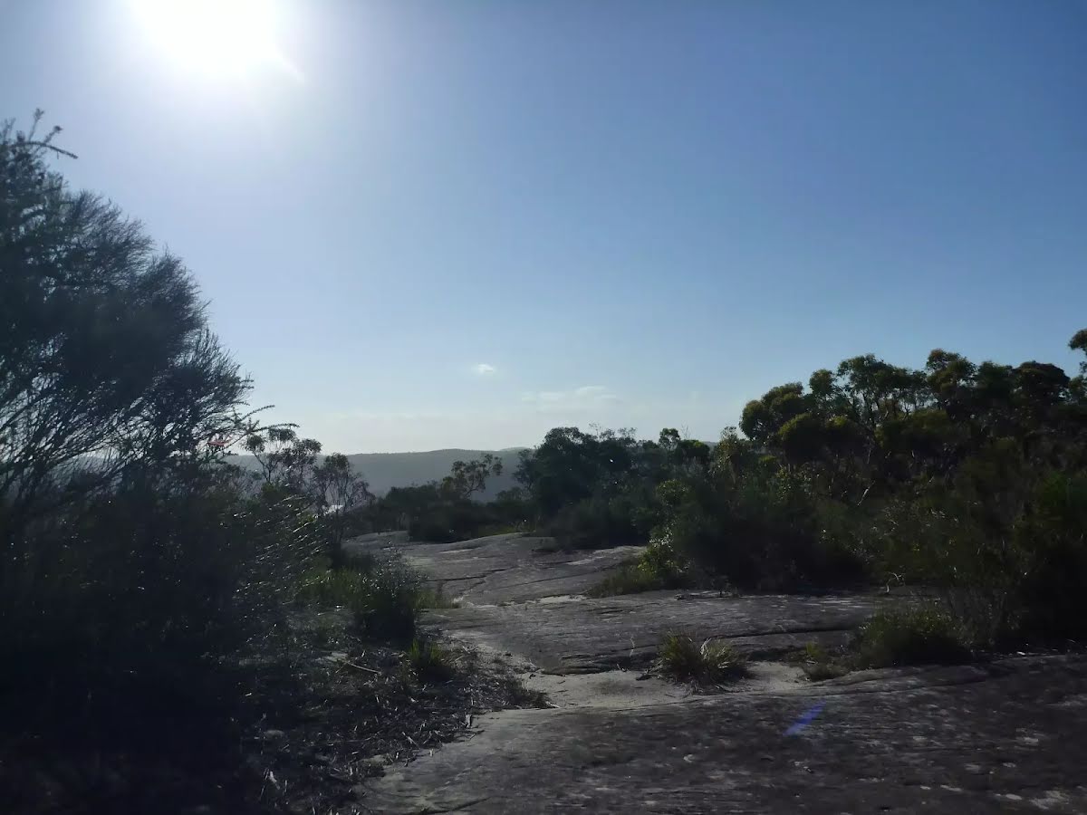
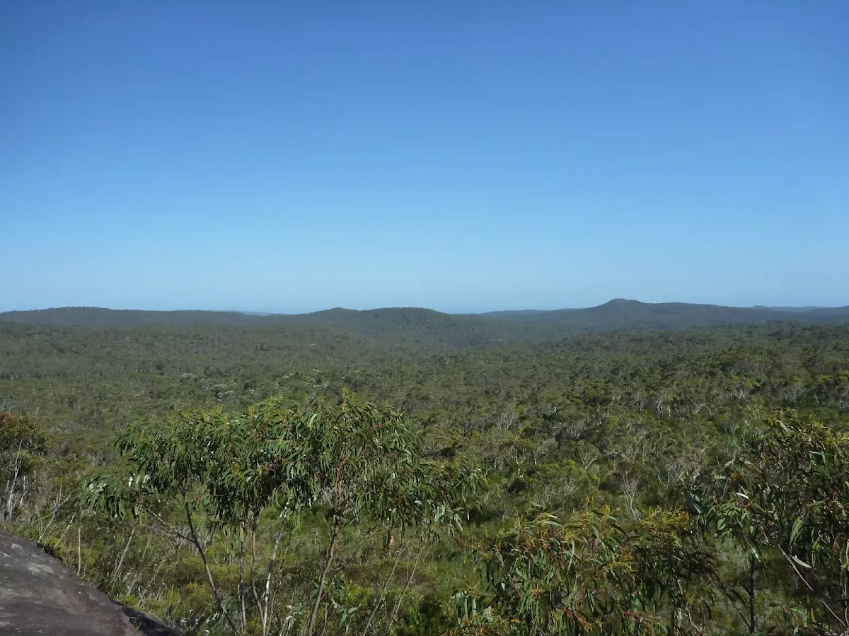
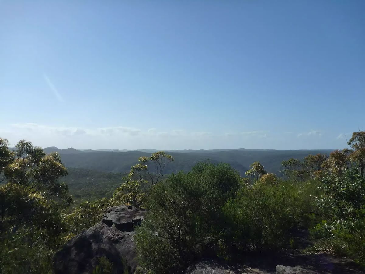
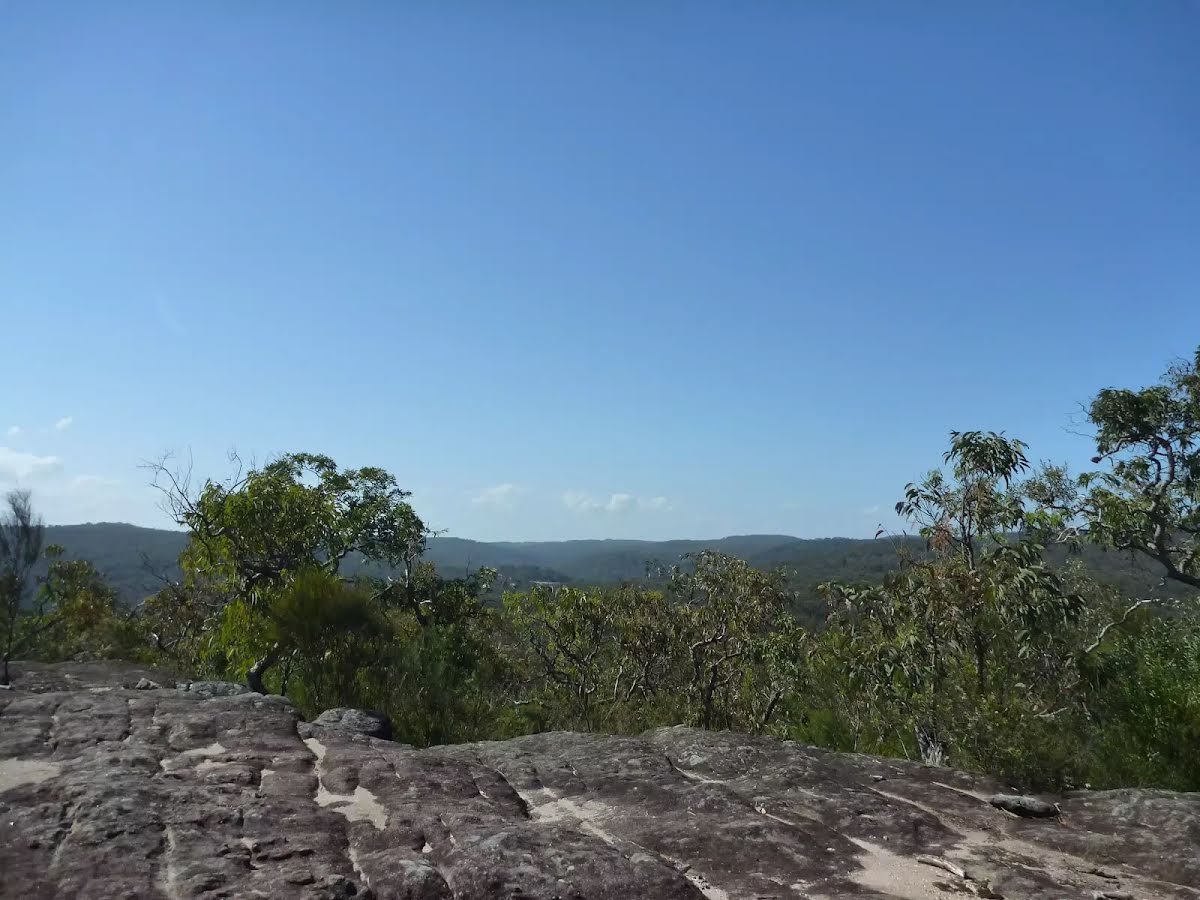
After another 155 m come to the viewpoint.
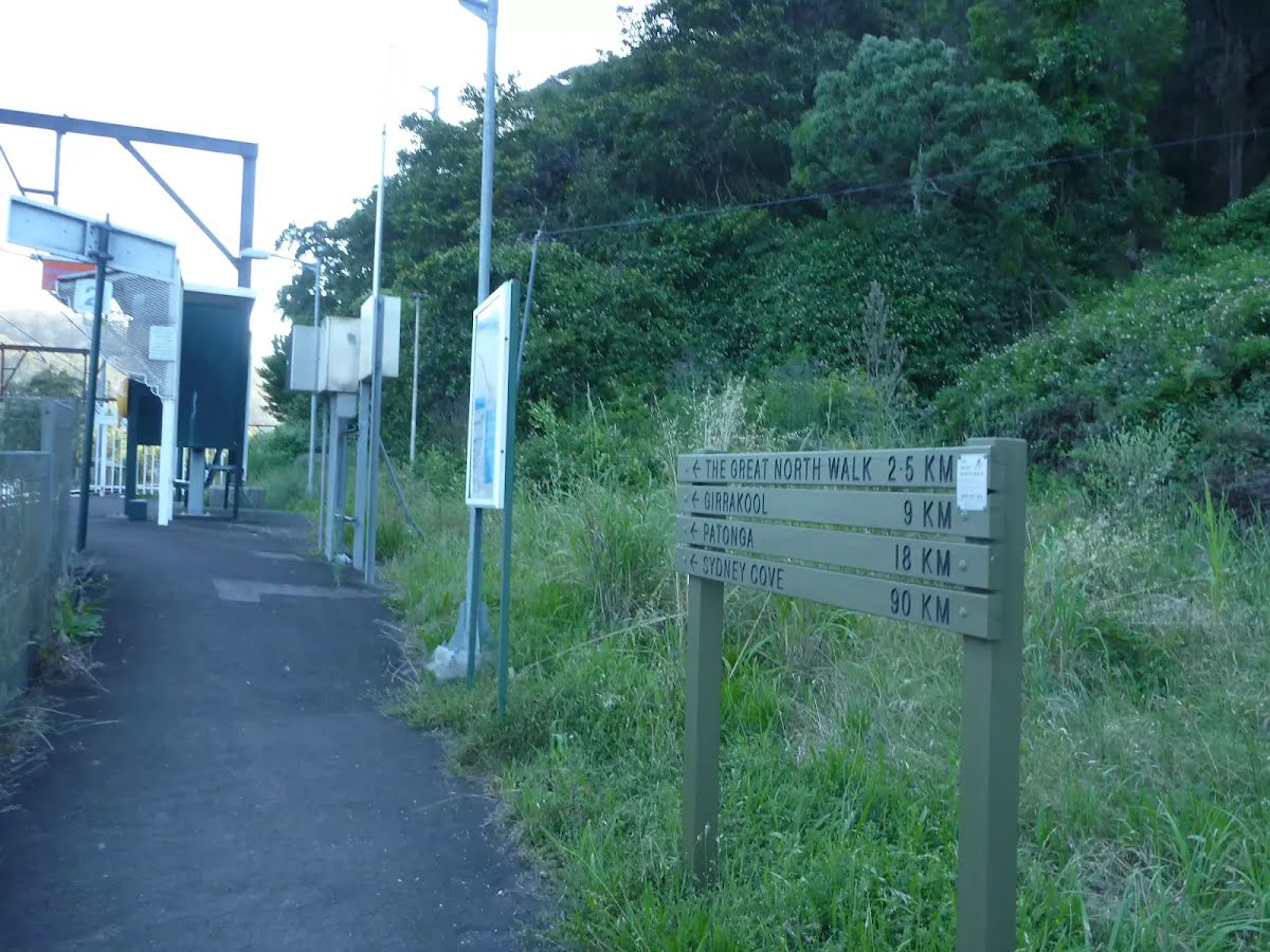
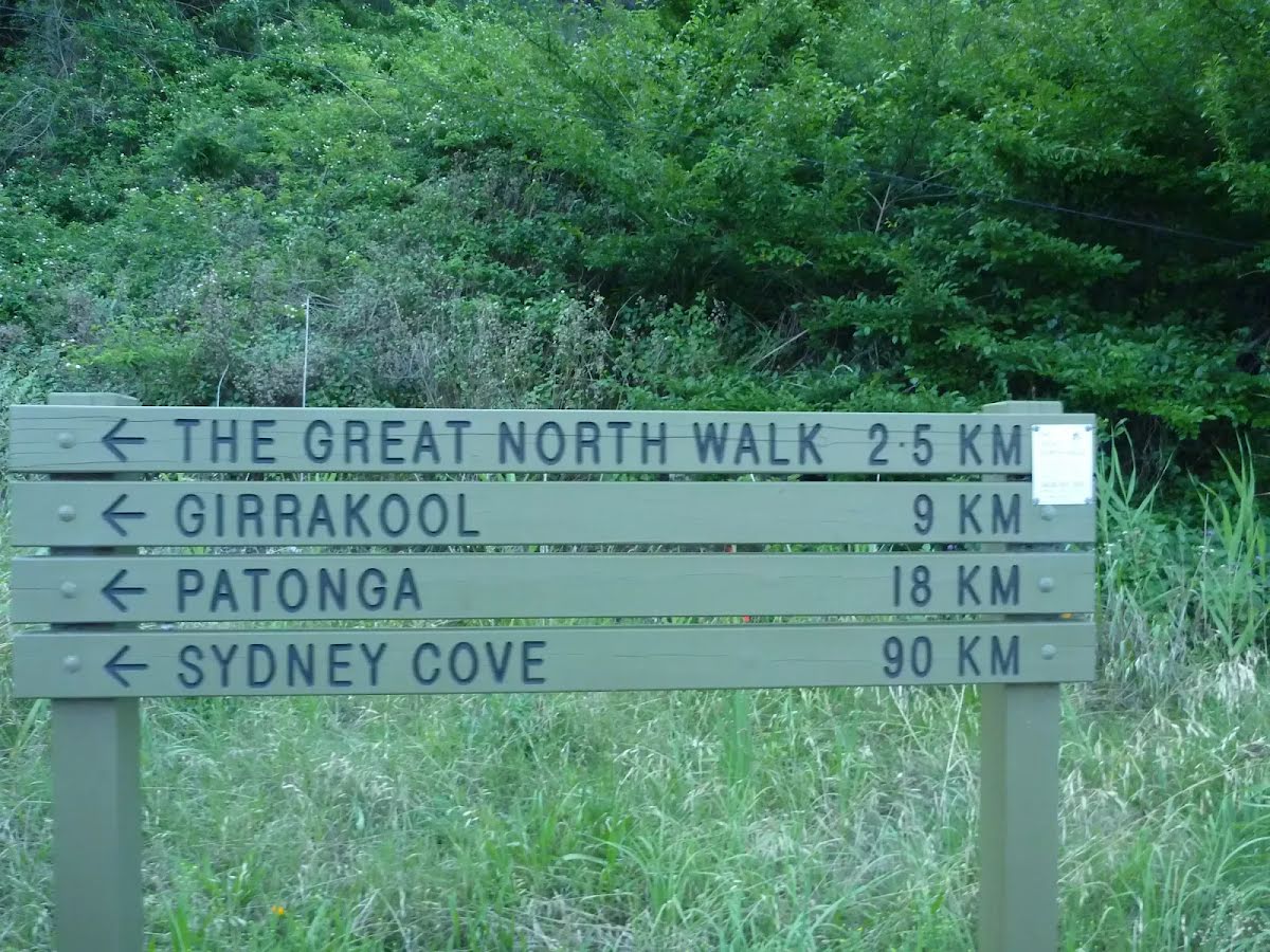
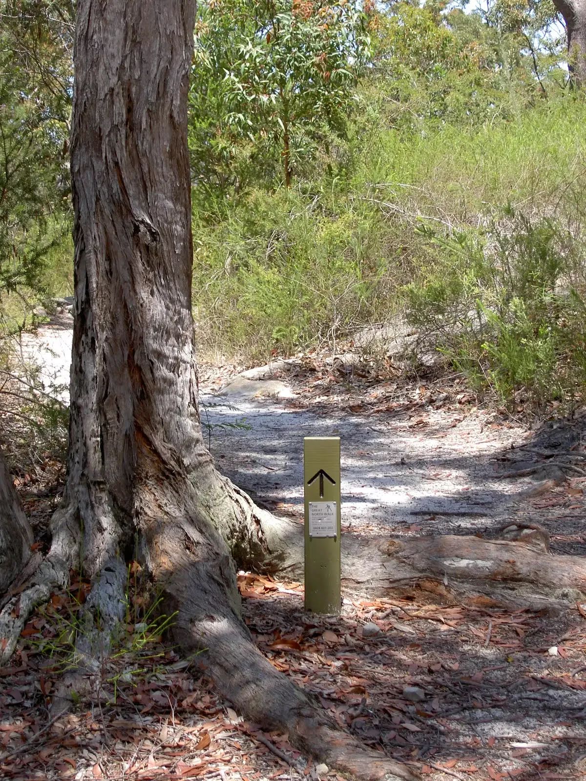
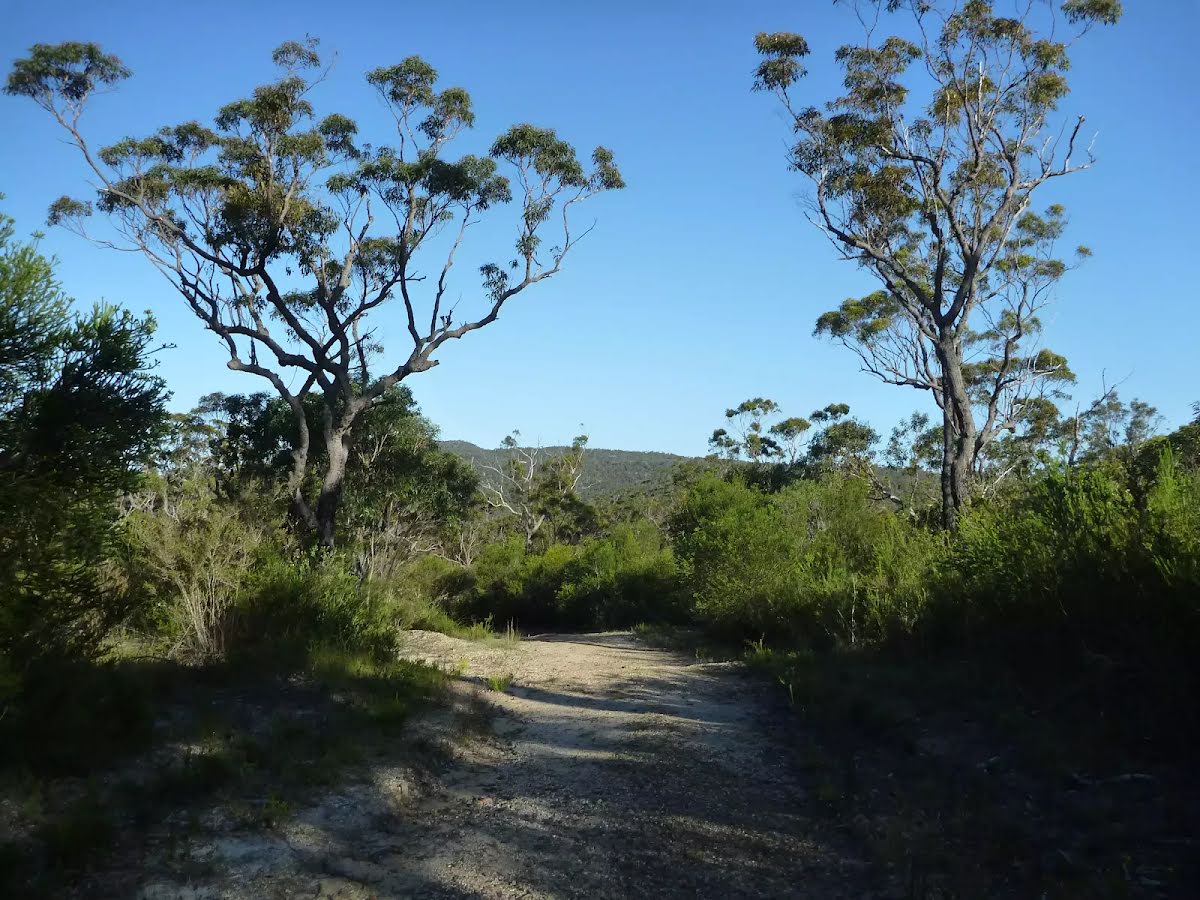
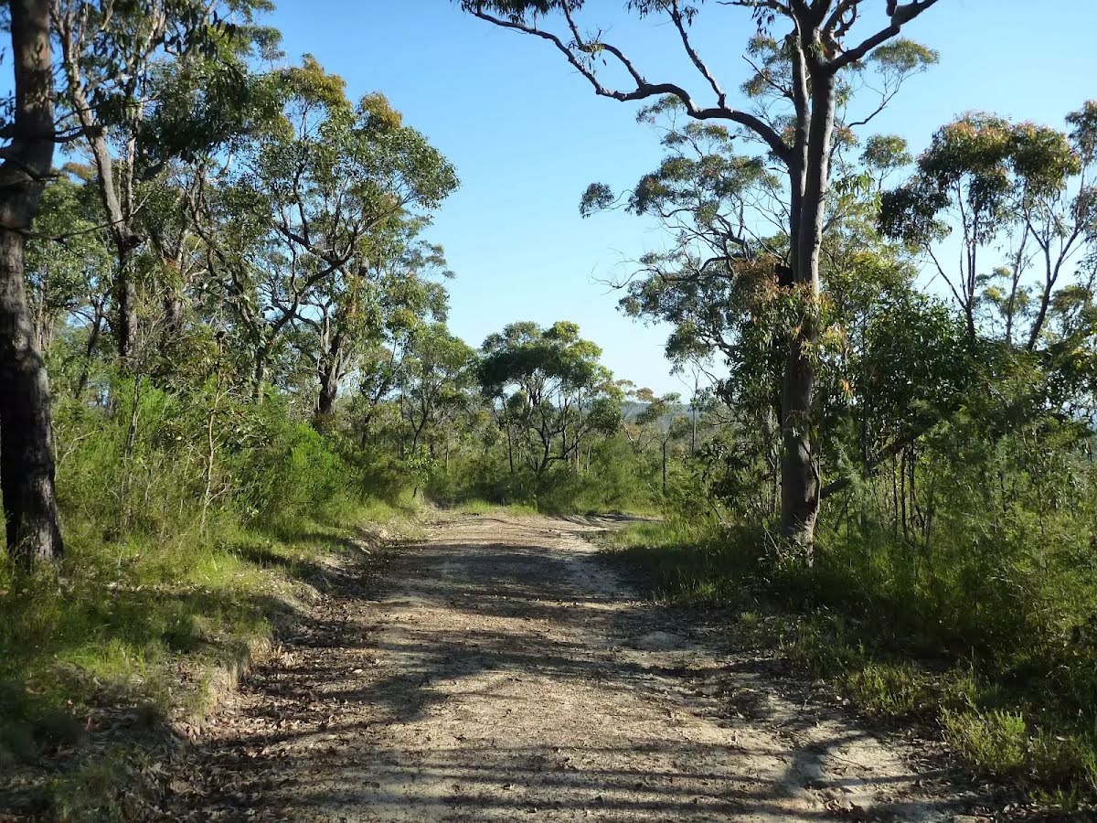
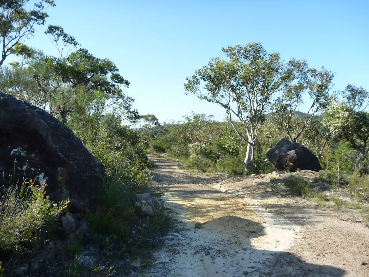
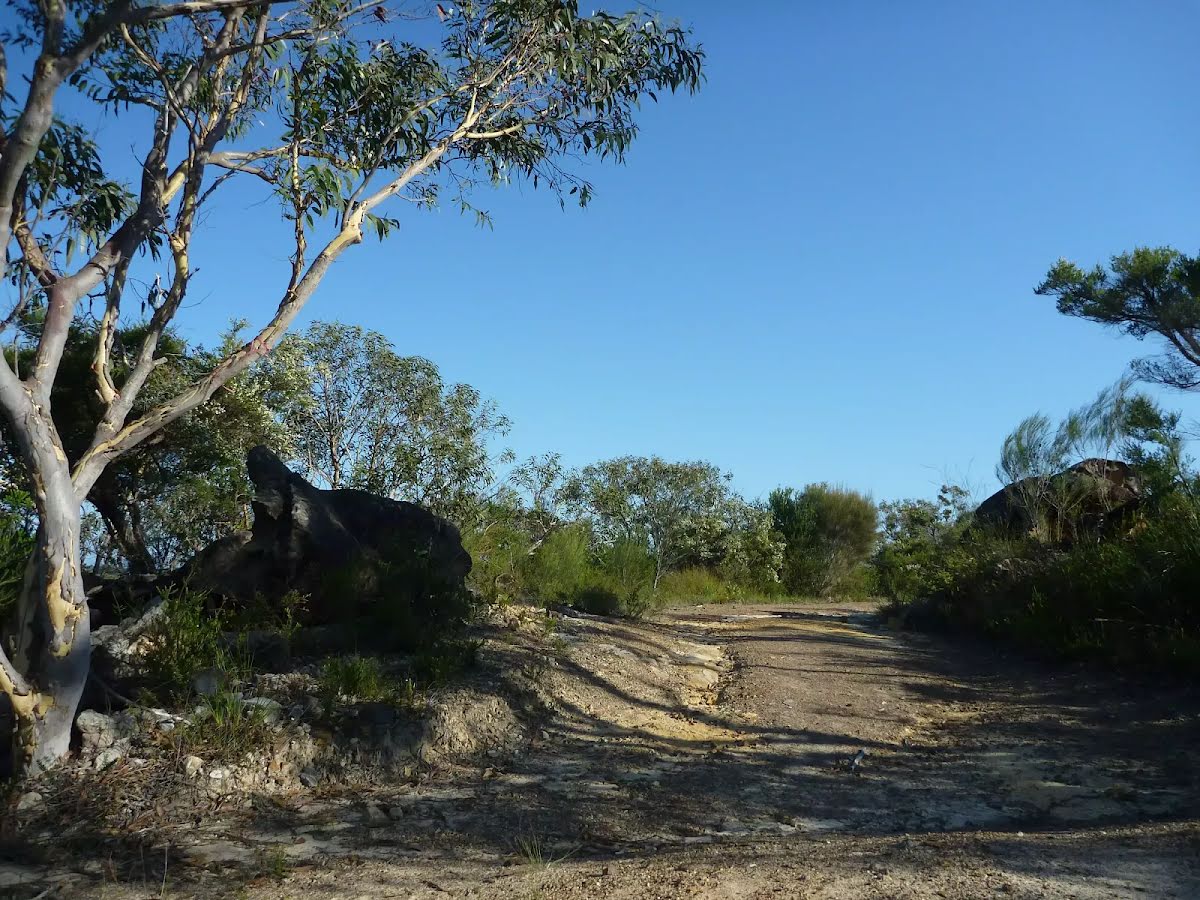
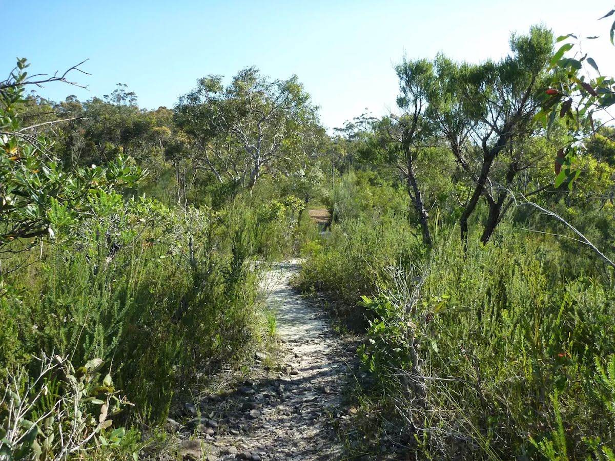
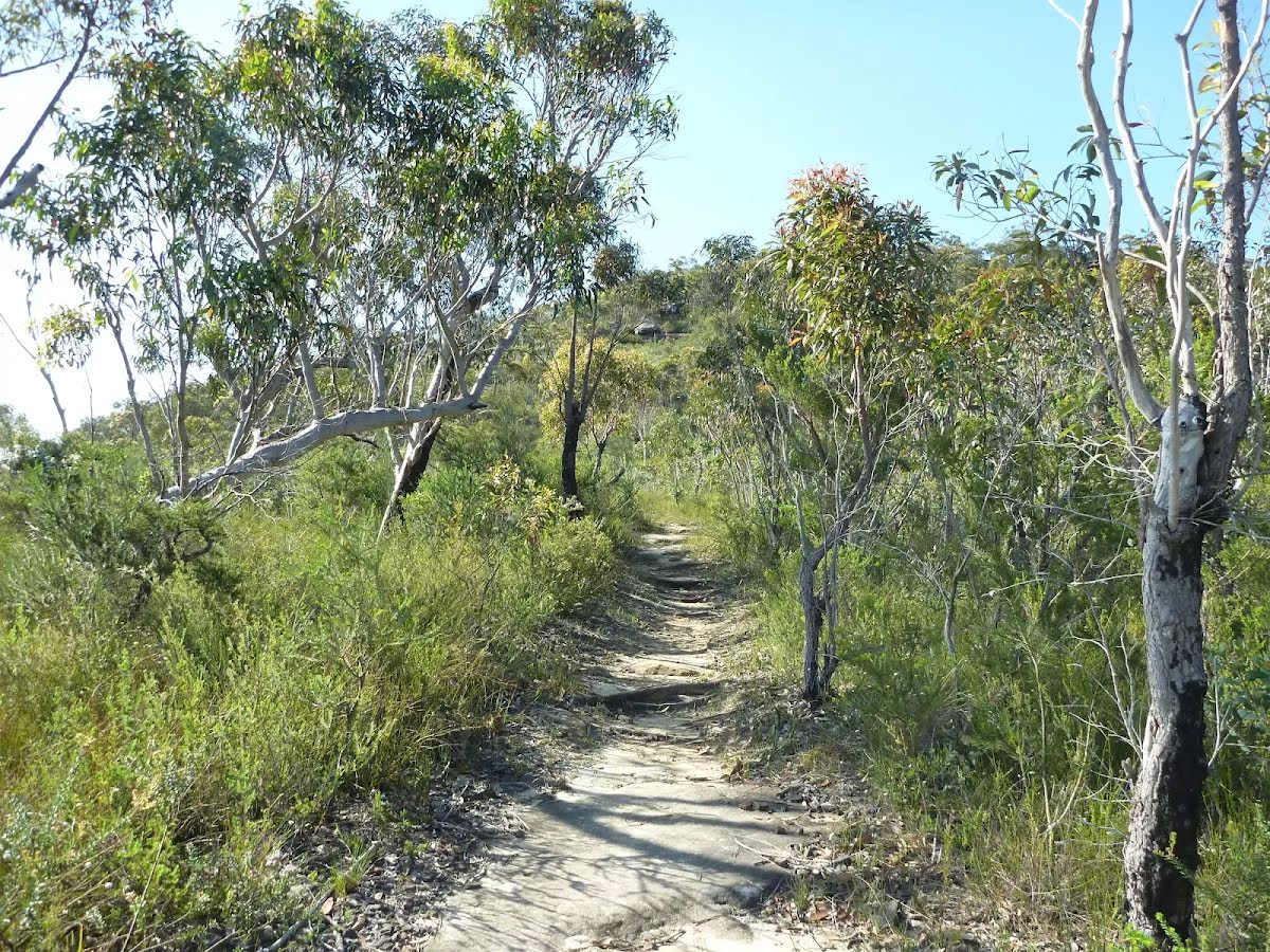
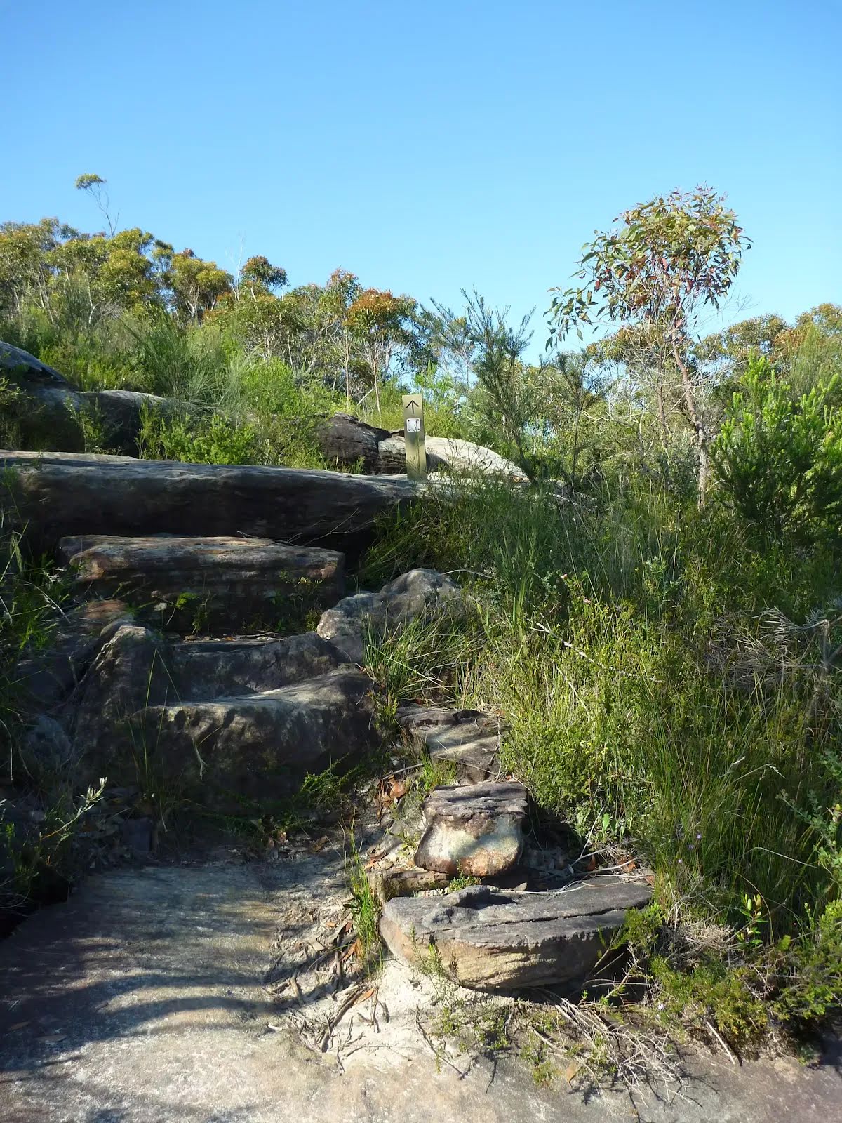
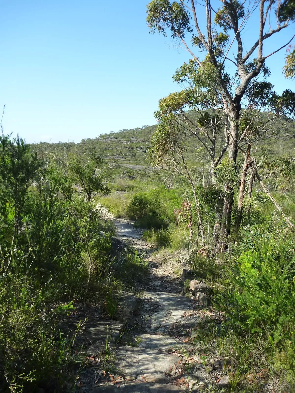
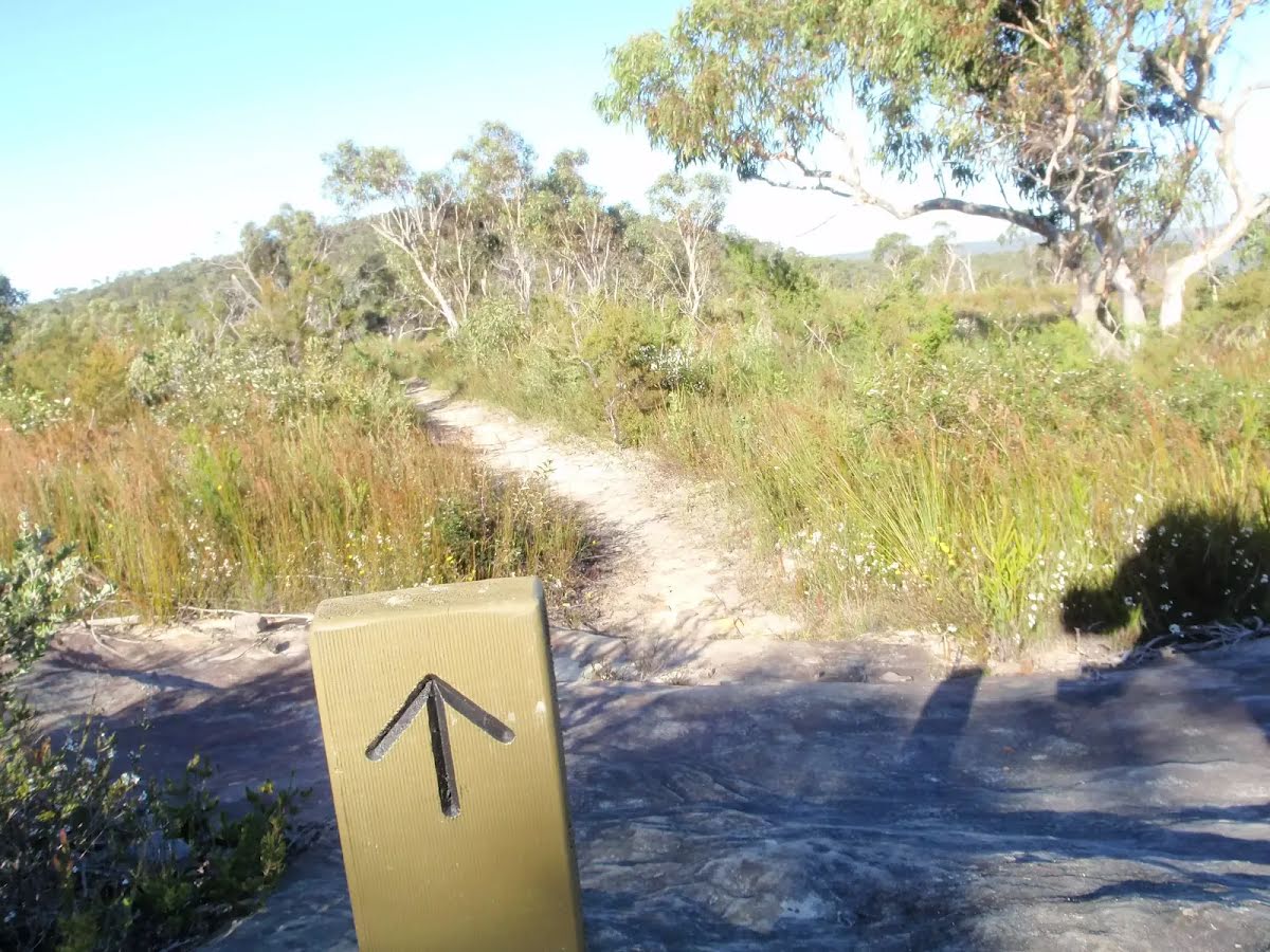
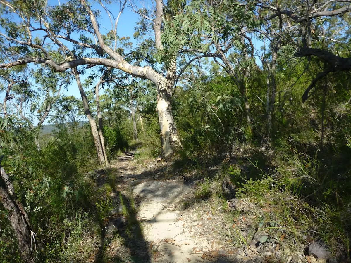
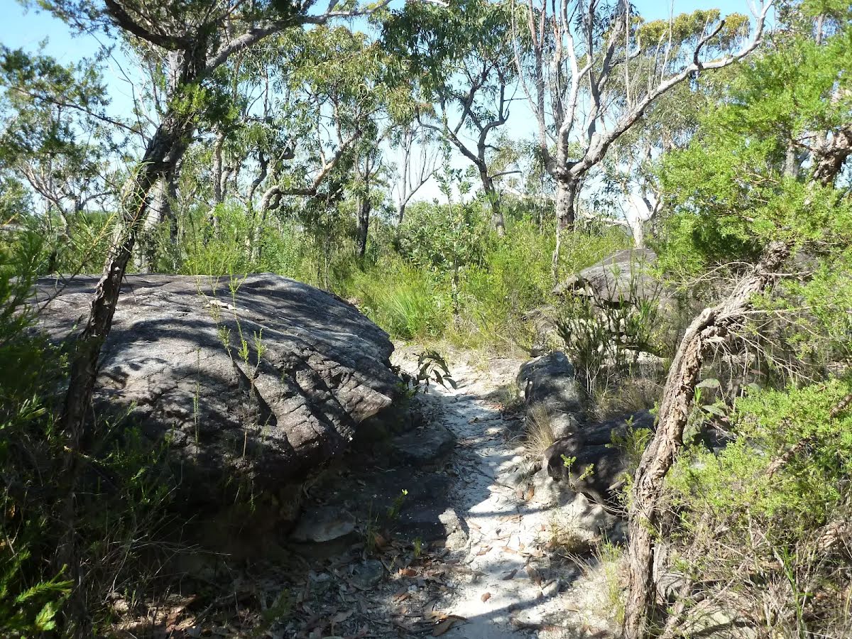
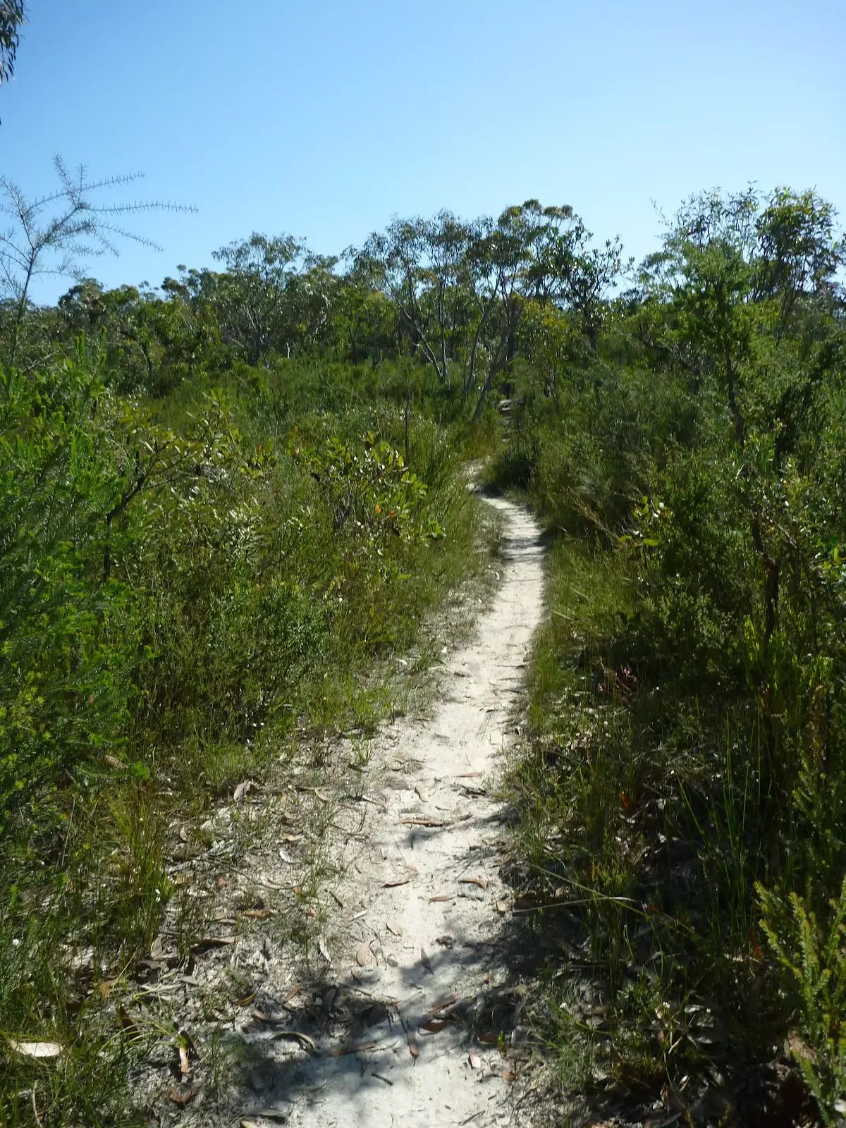
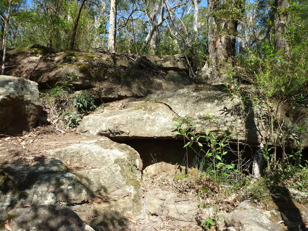
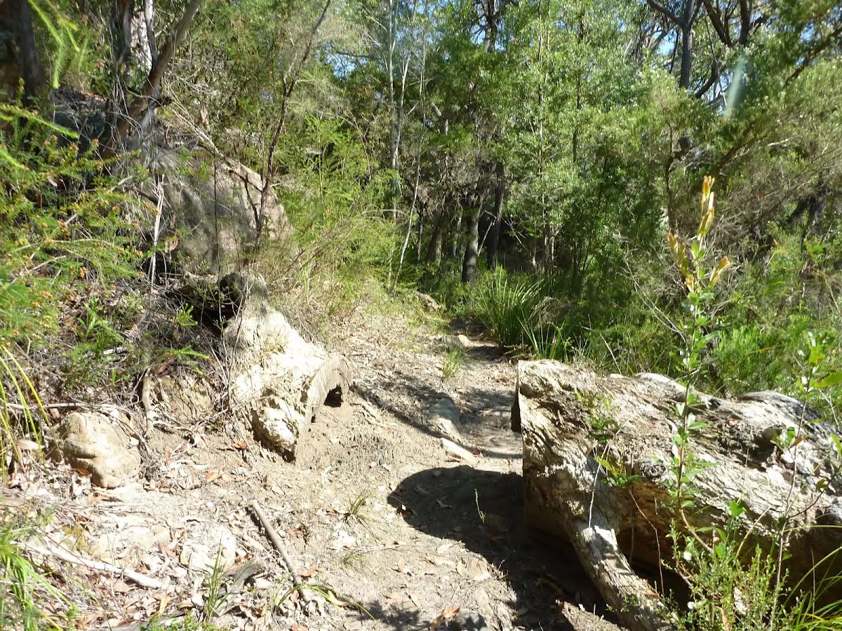
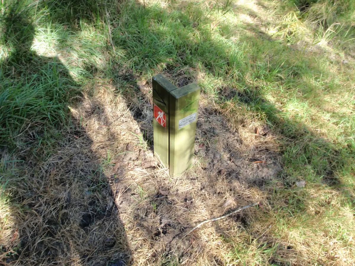
After another 970 m (at the intersection of The Great North Walk & Rifle Range Firetrail) veer left, to head along The Great North Walk (a walking track).
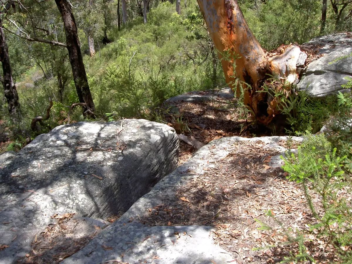
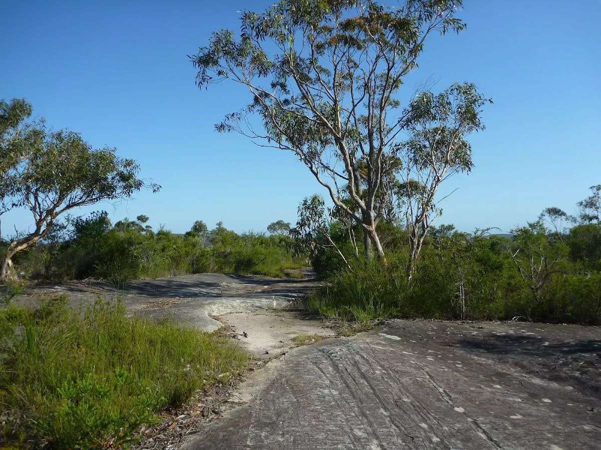
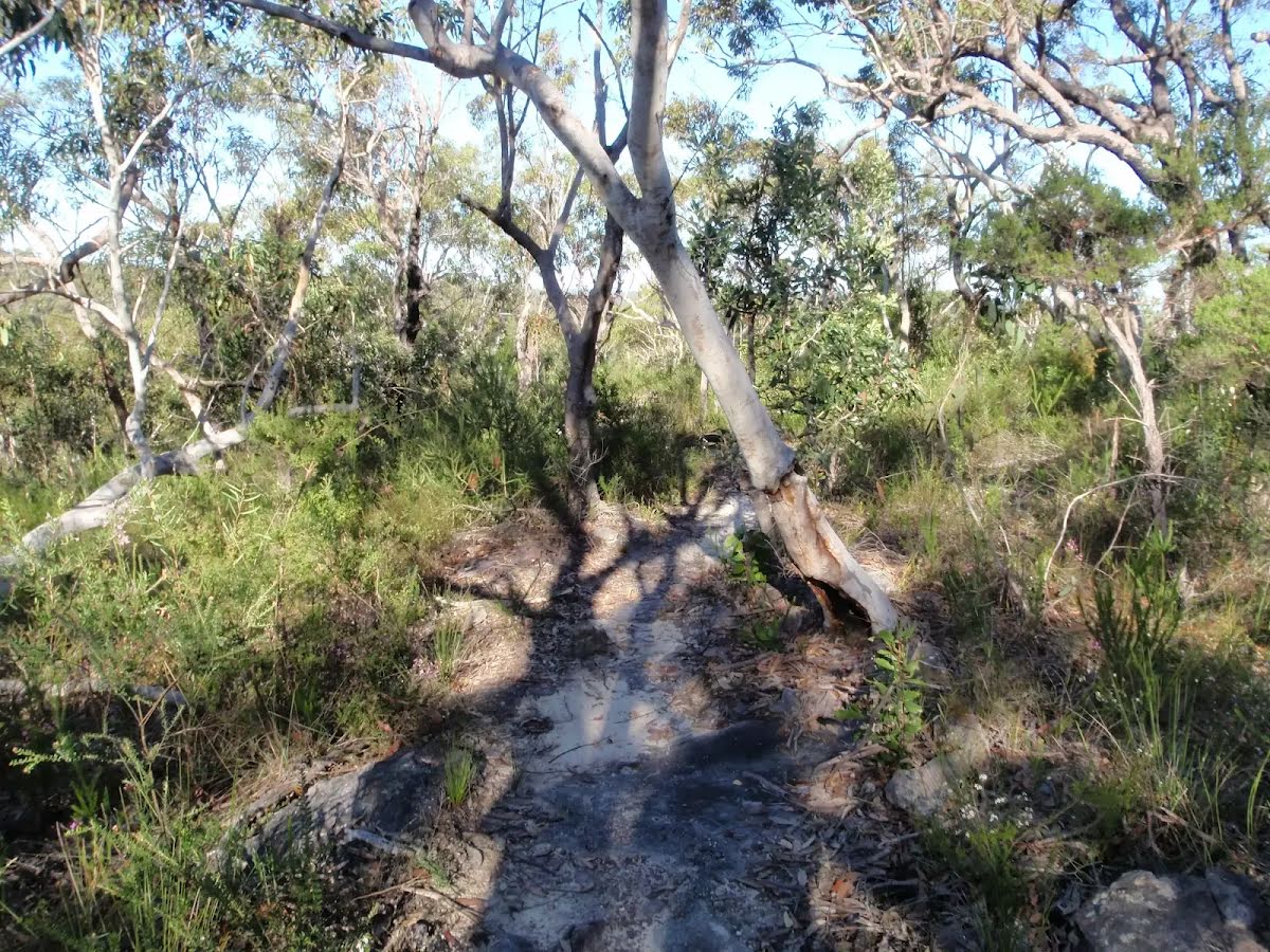
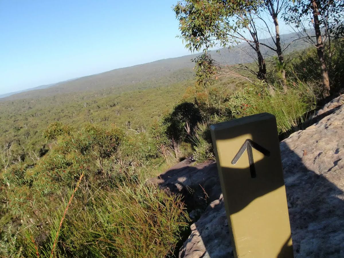
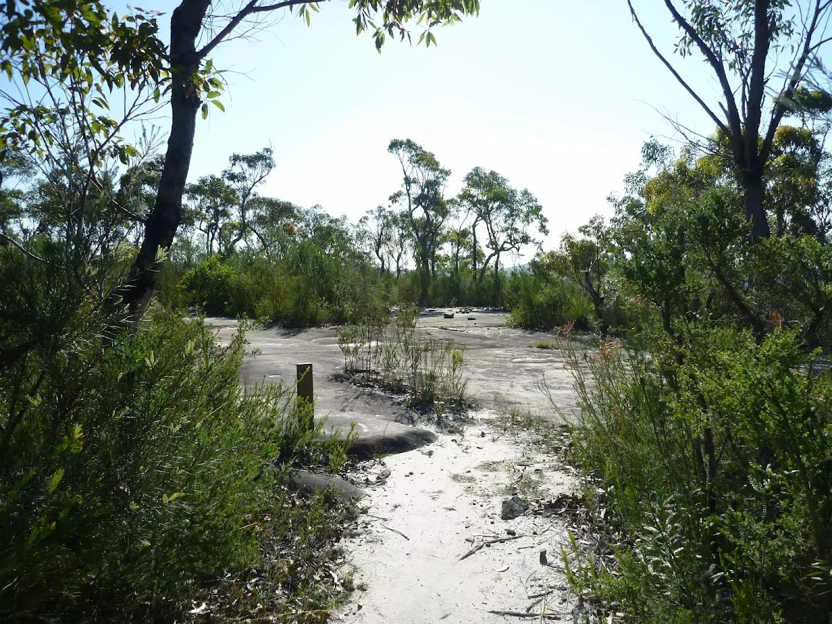
After another 1.1 km pass the "Scopas Peak" (25 m on your right).
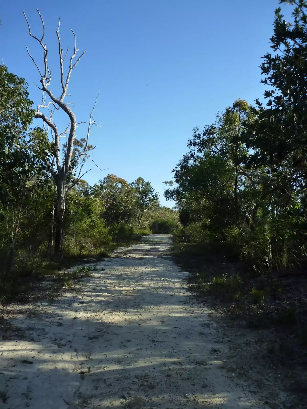
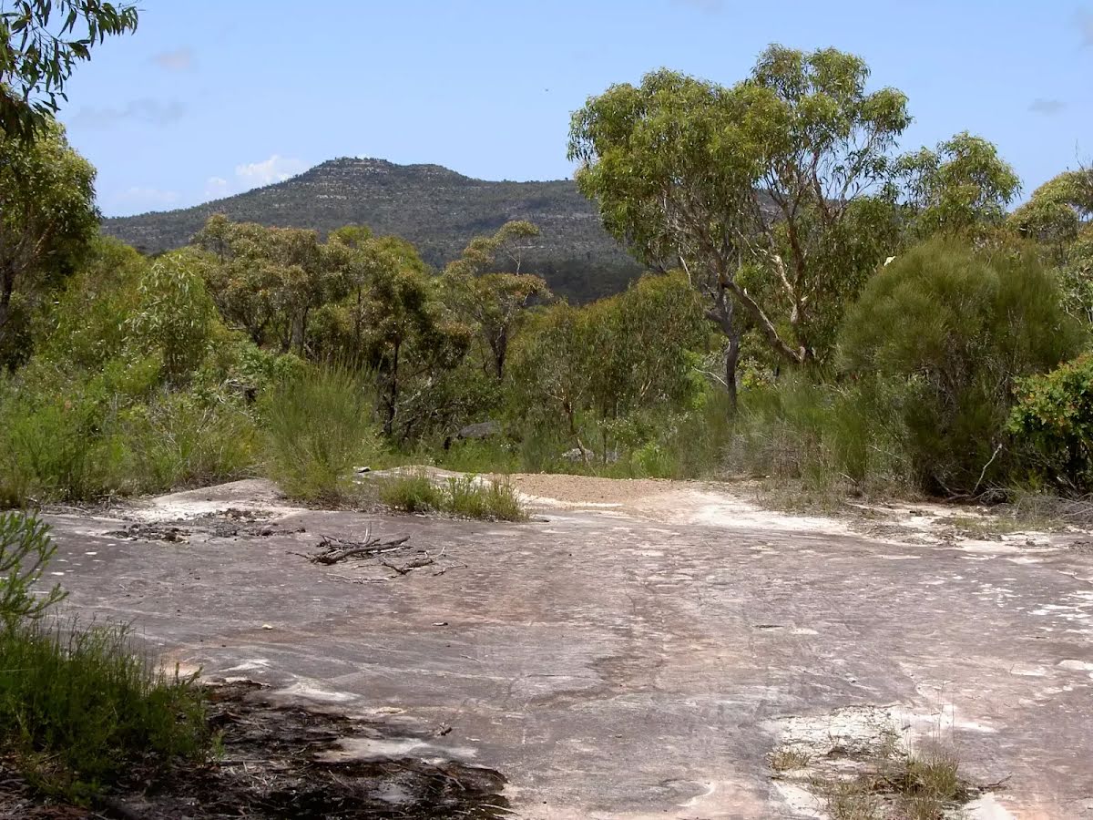
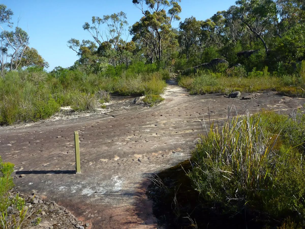
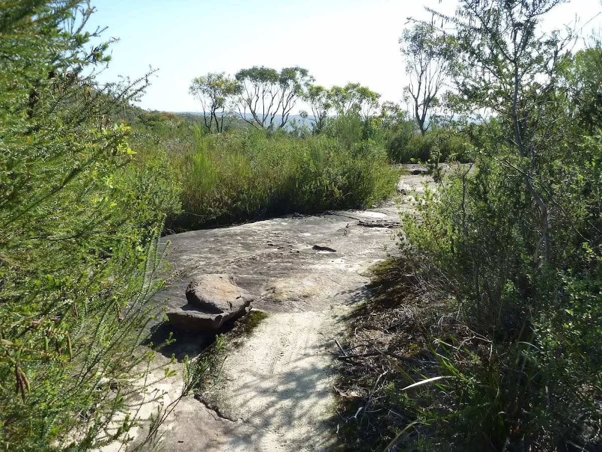
After another 1.5 km come to the viewpoint.
After another 320 m come to the viewpoint.
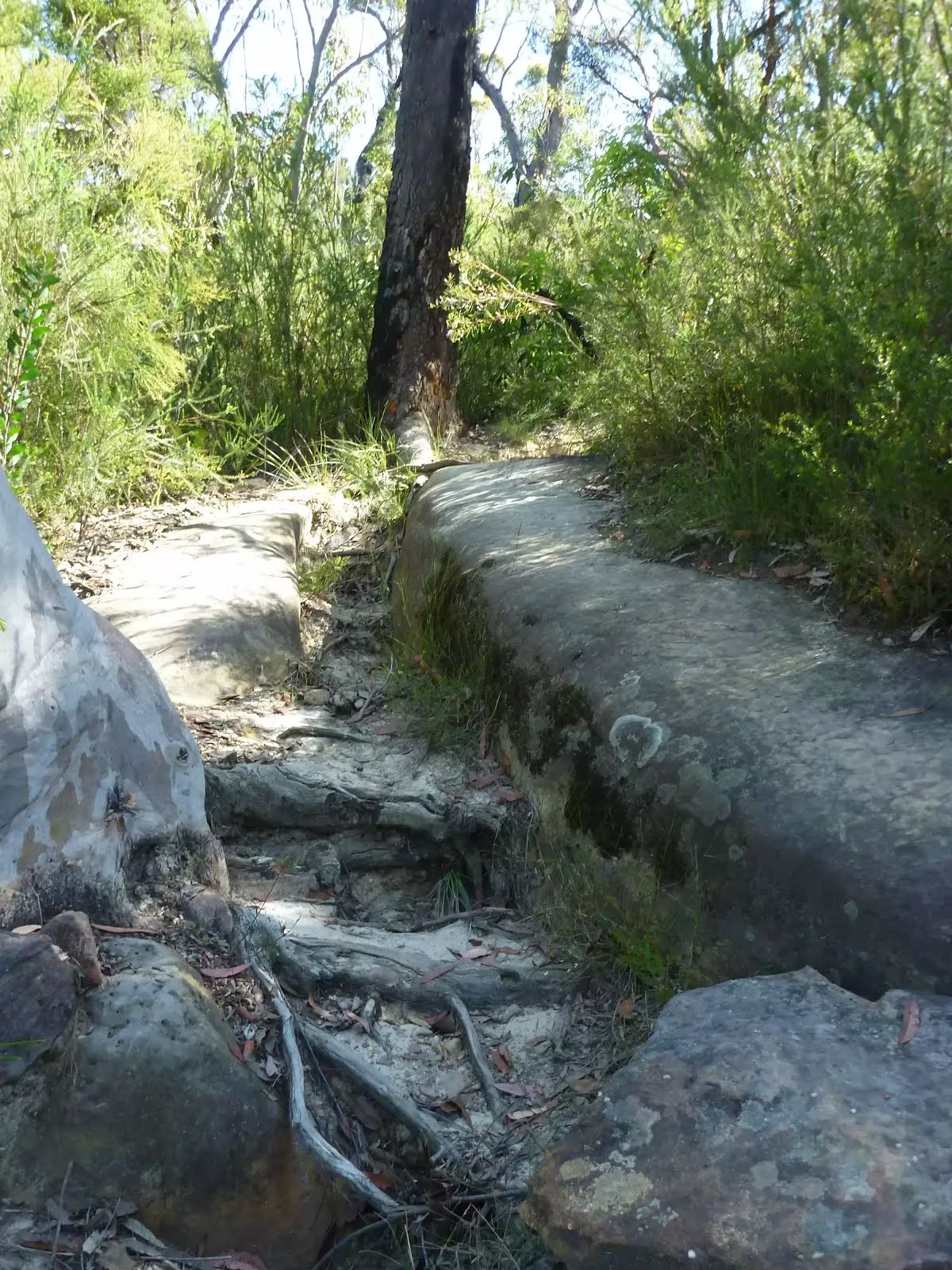
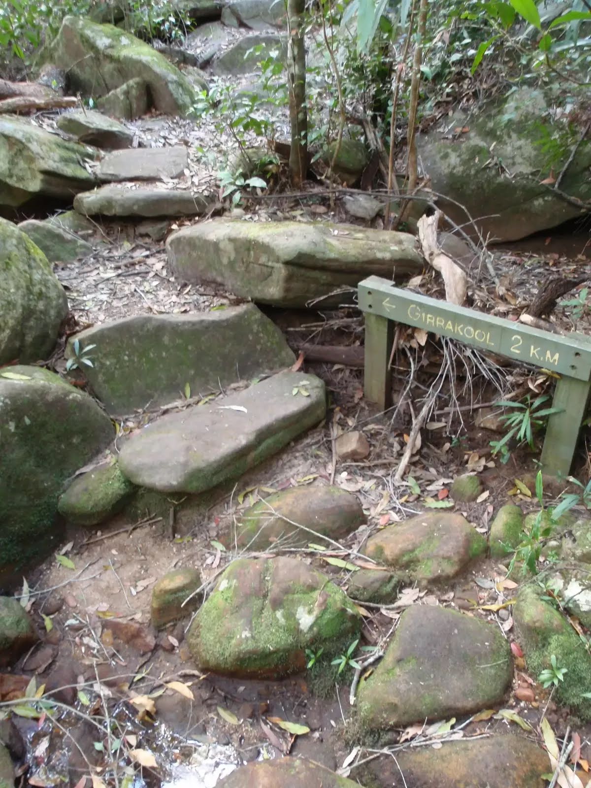
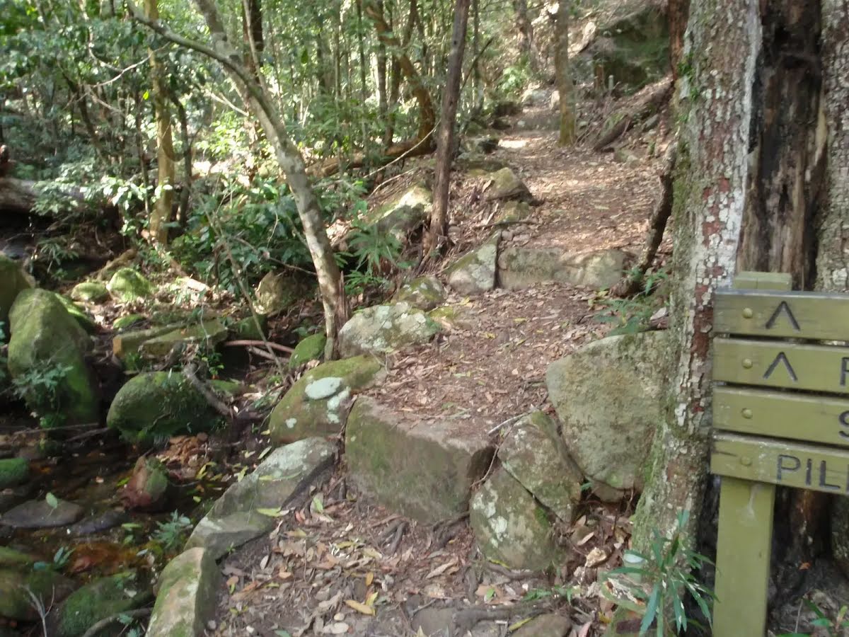
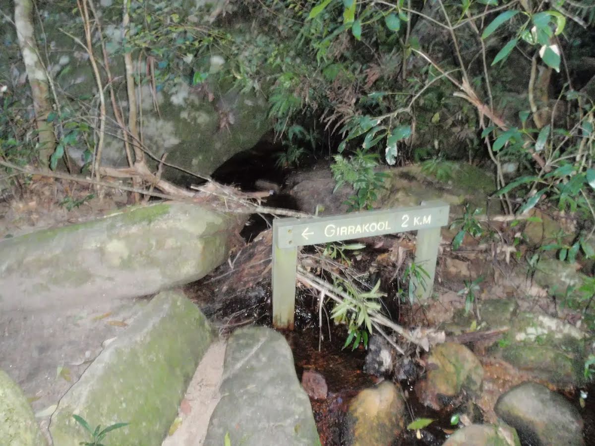
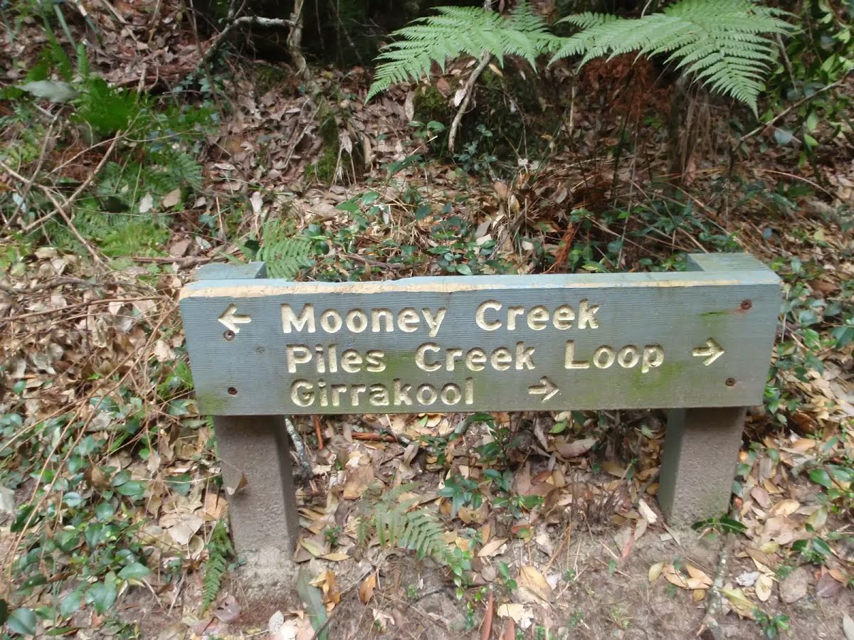
After another 1.2 km (at the intersection of Piles Creek Loop & The Great North Walk) turn left, to head along Piles Creek Loop.
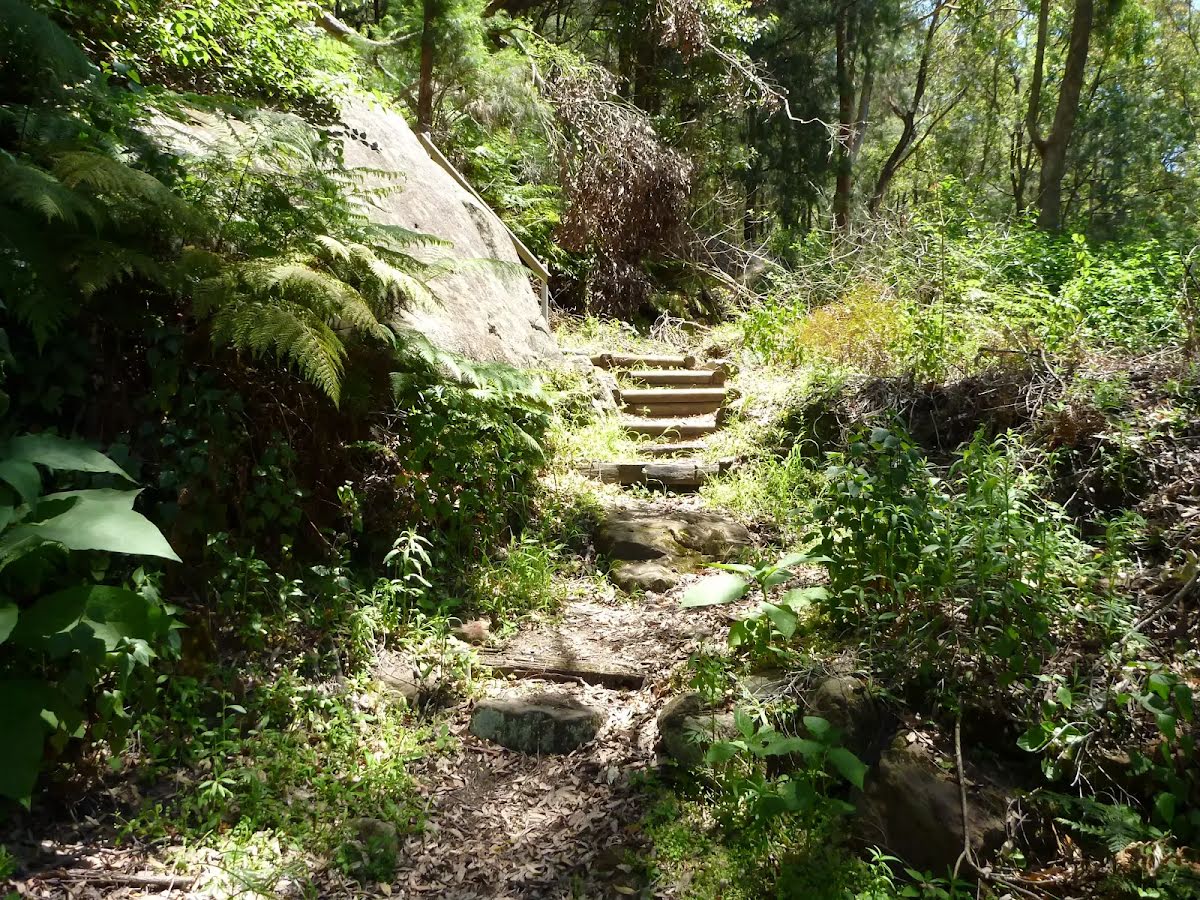
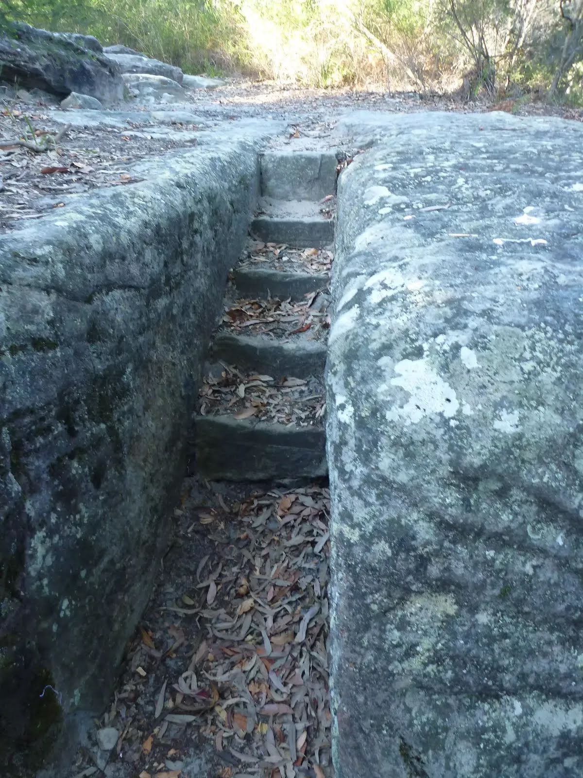
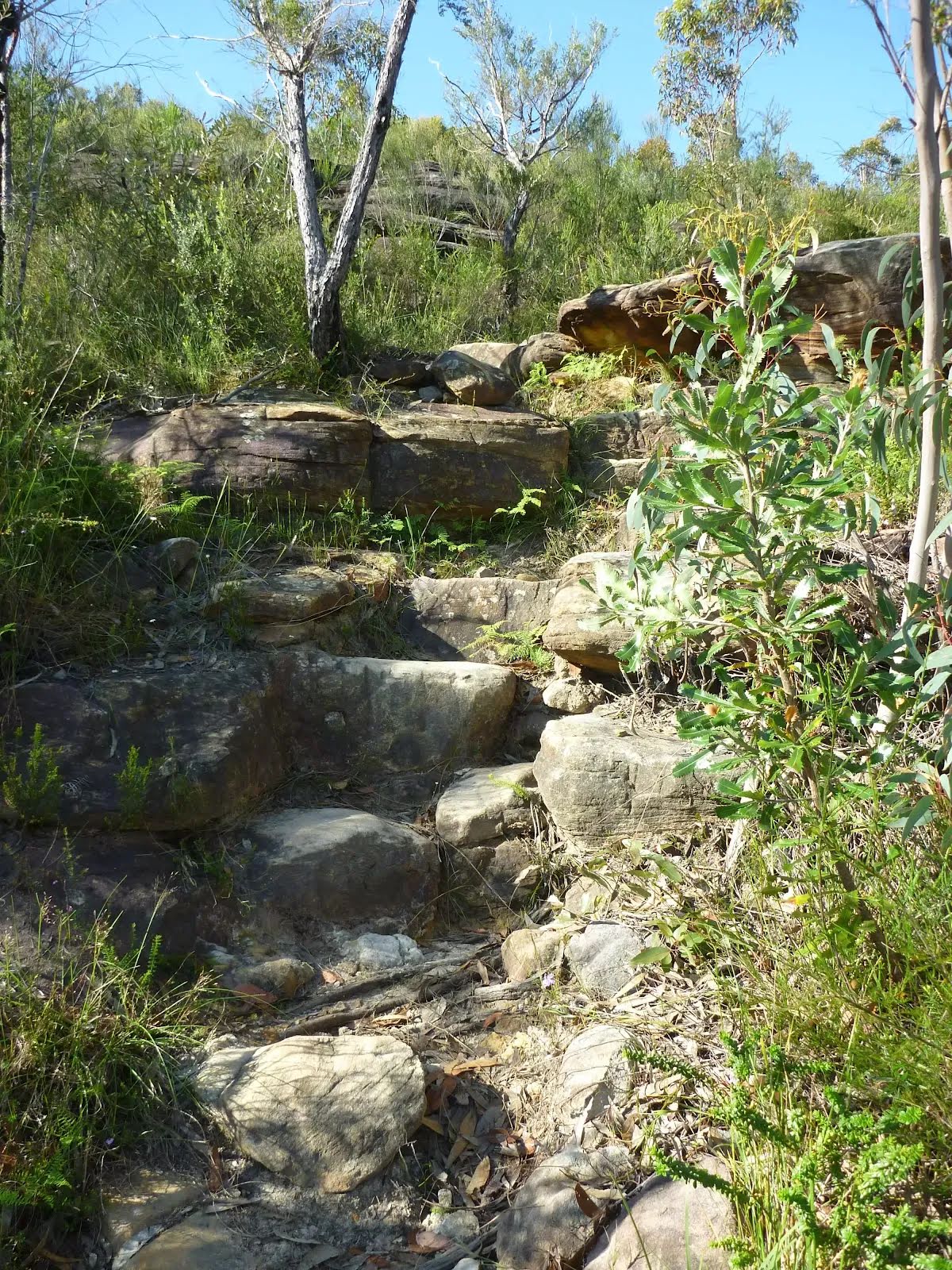
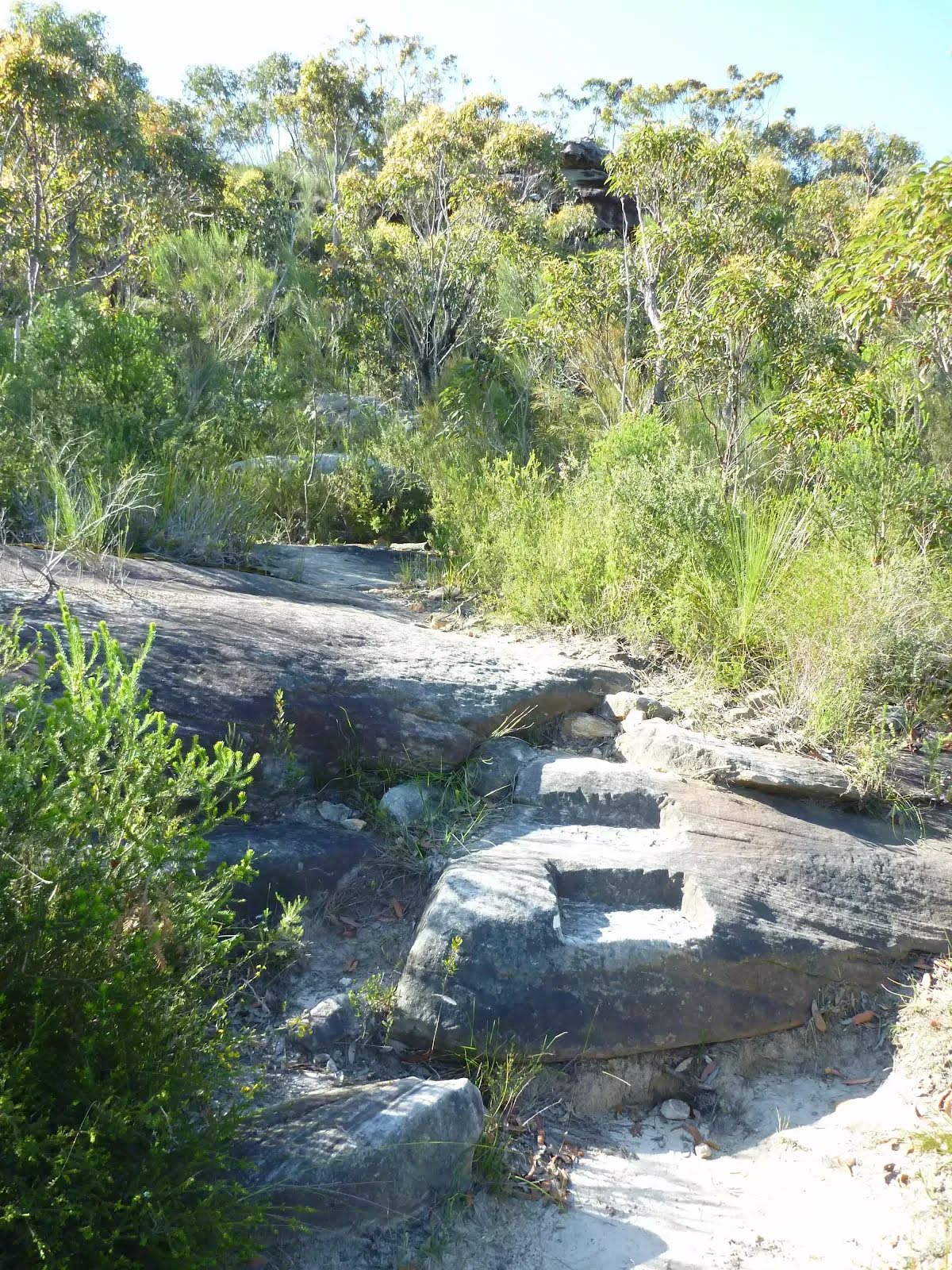
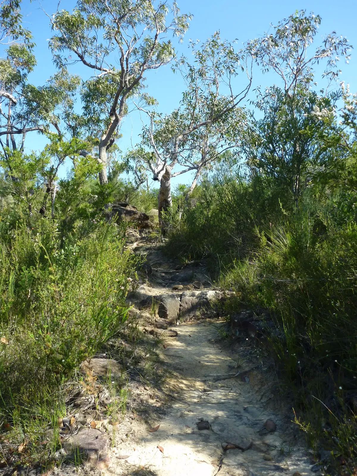
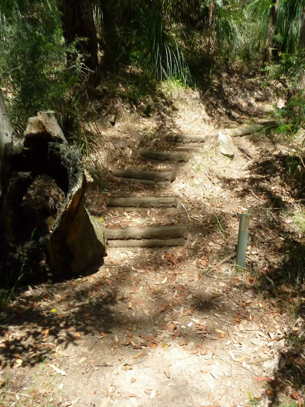
After another 15 m head down the 13 earthen steps (about 10 m long)
After another 65 m head down the 9 earthen steps
After another 10 m head down the 57 earthen steps (about 60 m long)
Veer left, to head along Piles Creek Loop.
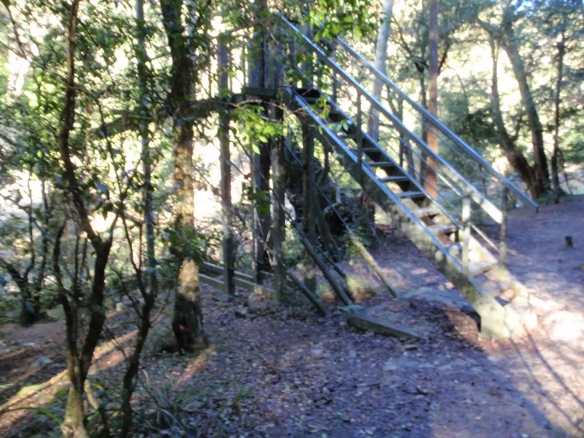
After another 25 m head up the 18 metal steps (about 9 m long)
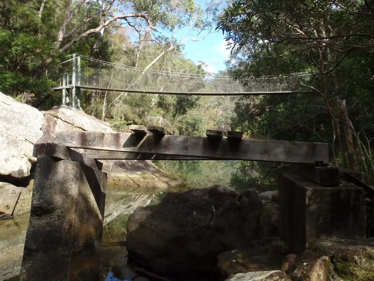
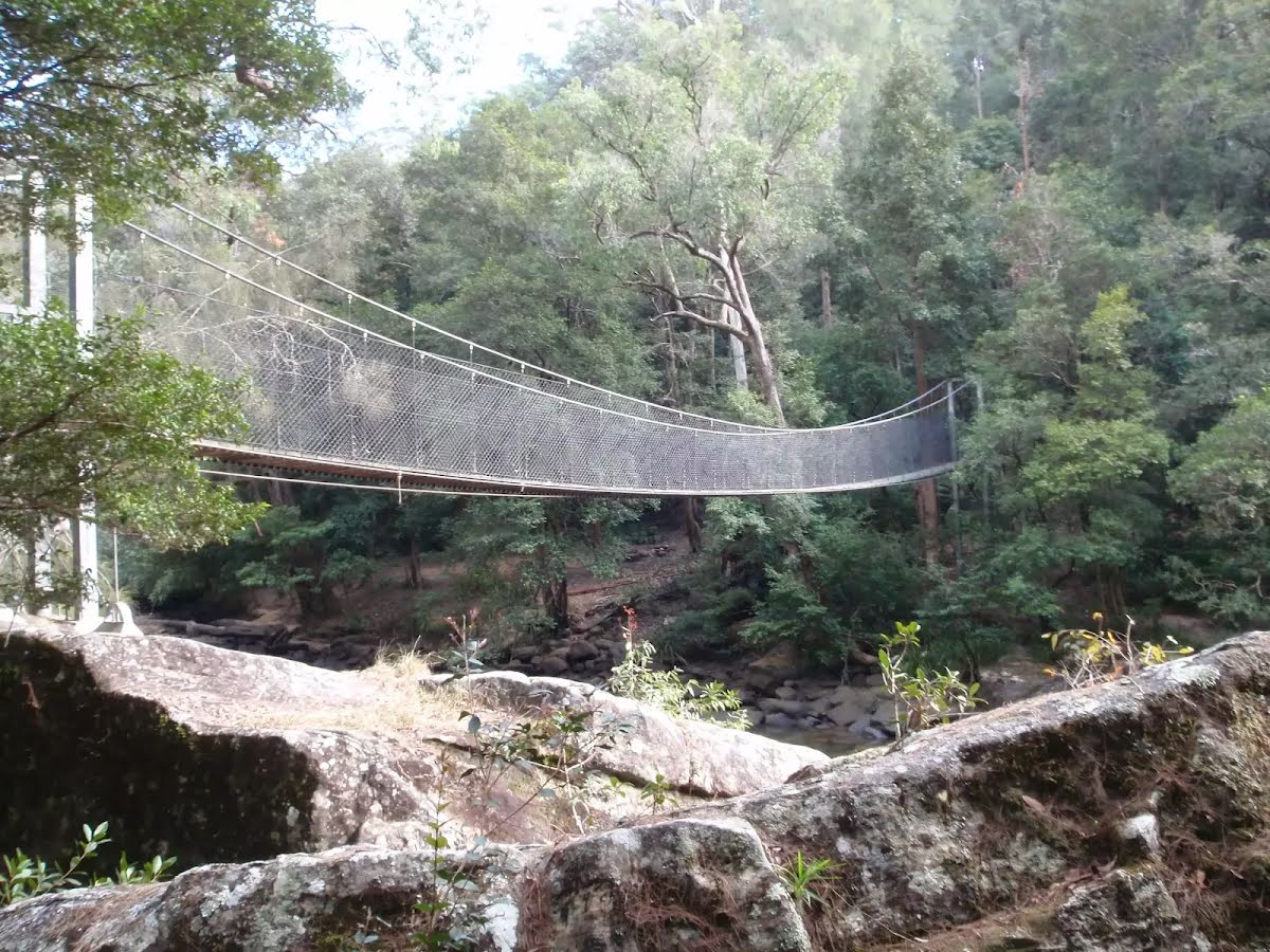
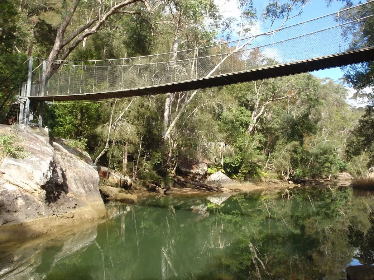
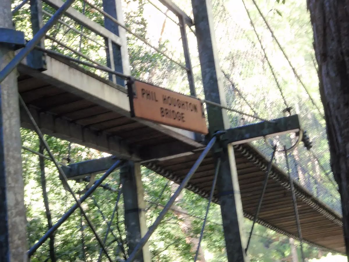
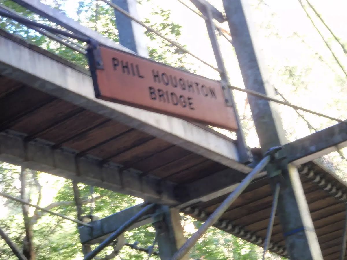
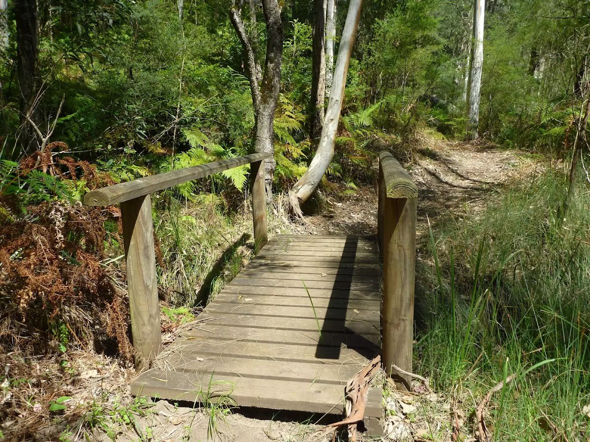
Then cross the Phil Houghton Bridge (about 25 m long)
Then cross the Phil Houghton Bridge (about 20 m long)
Then find the "Phil Houghton Bridge" (on your left).
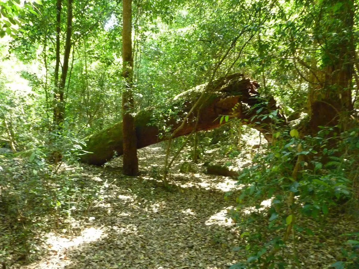
The Phil Houghton Bridge is a metal suspension bridge that crosses Piles Creek. It is part of the Great North Walk and replaces an older bridge, with part still visible upstream. The bridge can hold up to 8 people and feels very stable. There are great views both up and downstream half way across this bridge. There is a clearing on the northern side that people have used for camping.
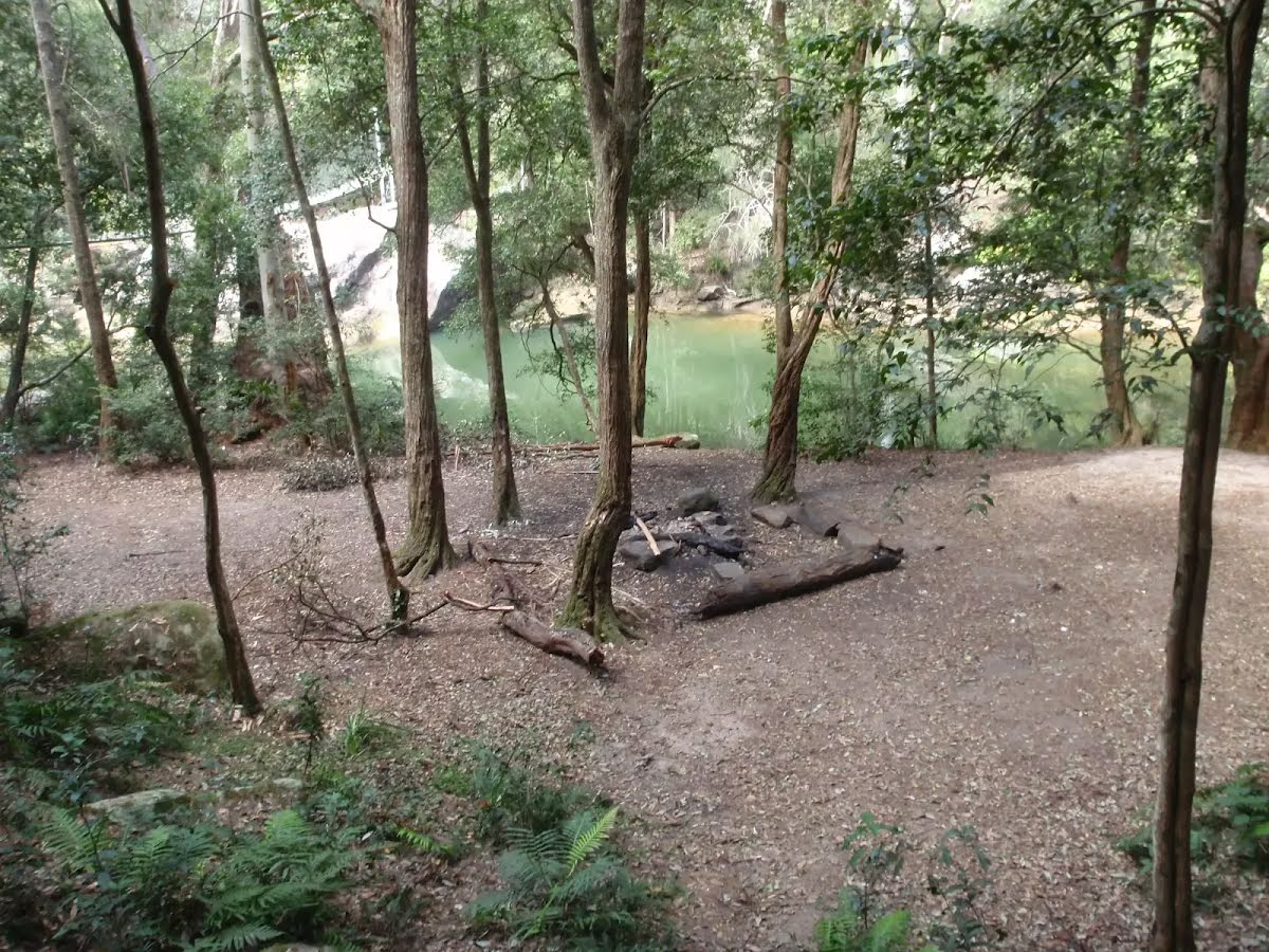
After another 10 m come to the camp site (10 m on your left).
This is a free campsite.
Then cross the Phil Houghton Bridge (about 3 m long)
Then head down the 15 metal steps (about 7 m long)
At the intersection of The Great North Walk & Piles Creek Loop turn left, to head along The Great North Walk (a walking track).
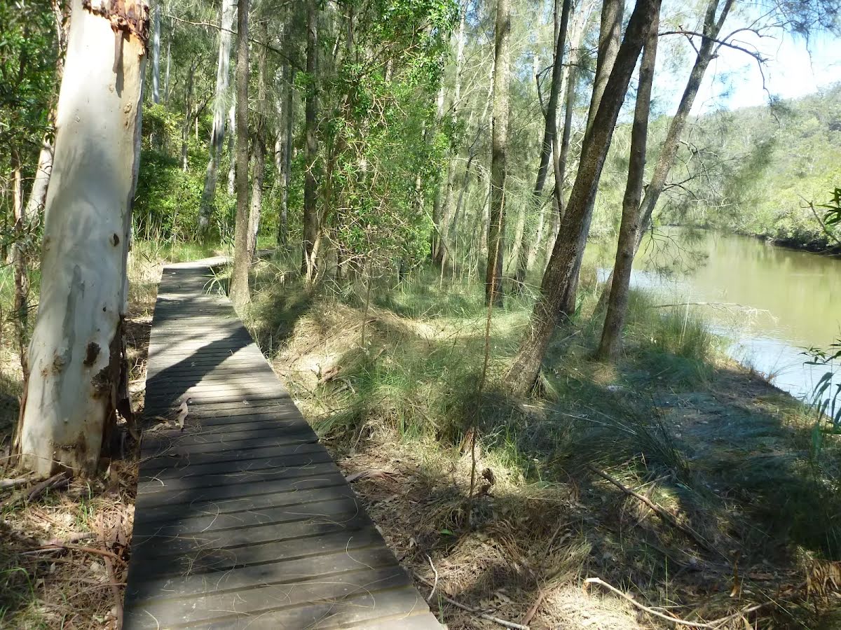
After another 990 m cross the bridge (about 5 m long)
Then cross the bridge (about 4 m long)
After another 720 m head down the 5 earthen steps (about 5 m long)
After another 20 m veer right, to head along The Great North Walk.
After another 75 m cross the bridge (about 7 m long)
After another 205 m (at the intersection of The Great North Walk & Mooney Trail) continue straight, to head along The Great North Walk.
After another 20 m head down the 53 metal steps (about 15 m long)
Then cross the bridge (about 75 m long)
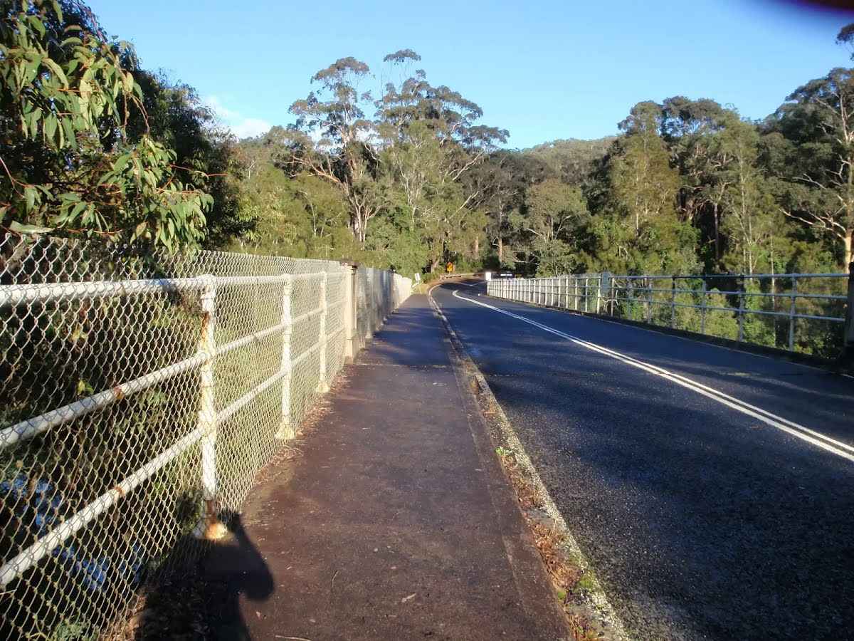
Then find the "Old Pacific Highway Mooney Mooney Creek Bridge" (on your right).
The Sydney-Hawkesbury stretch of the Pacific Highway was built in the 1920s, replacing a route that had existed since the 1830s. The original Peats Ferry Road was cut by a settler named George Peat, making a track to his property on the banks of the Hawkesbury River.
This road became the 'Old Pacific Highway' upon the opening of the F3, or Sydney-Newcastle Freeway, in the 1980s. This bridge is the smaller of two crossing Mooney Mooney Creek - the other, Mooney Mooney Bridge, is part of the F3 freeway and is the highest road bridge in Australia.
After another 7 m cross the bridge (about 15 m long)
After another 30 m (at the intersection of Karool Road & Old Pacific Highway) continue straight, to head along Karool Road (a vehicle track).
After another 830 m continue straight, to head along Karool Road.
After another 410 m head through/around the gate.
After another 530 m find the "Mooney Mooney Creek Campsite (south)" (15 m on your right).
After another 1.3 km find the "Mooney Mooney Creek Campsite (north)" (on your right).
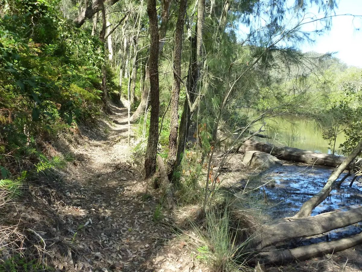
After another 2.1 km cross the ford.
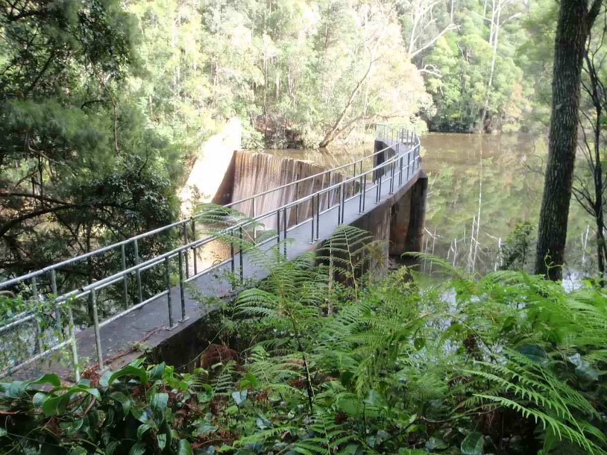
After another 1.2 km find the "Lower Mooney Dam" (30 m on your left).
Lower Mooney Dam is located on the Mooney Mooney Creek, about 21 km upstream from the Hawkesbury River. In March 1938 the Gosford Mayor turned the tap to add the water from this dam into the small town water supply of the time. It is a concrete arch dam, with a capacity of 1,000 megalitres, and was superseded by the more than 4 times larger 'Upper Mooney Dam' in 1982. There is a set of timber steps and a faint track that leads down to the waters edge on the uphill side of the dam wall, the dam wall is fenced and is clearly out of bounds. A sign reminds visitors that swimming is not allowed.
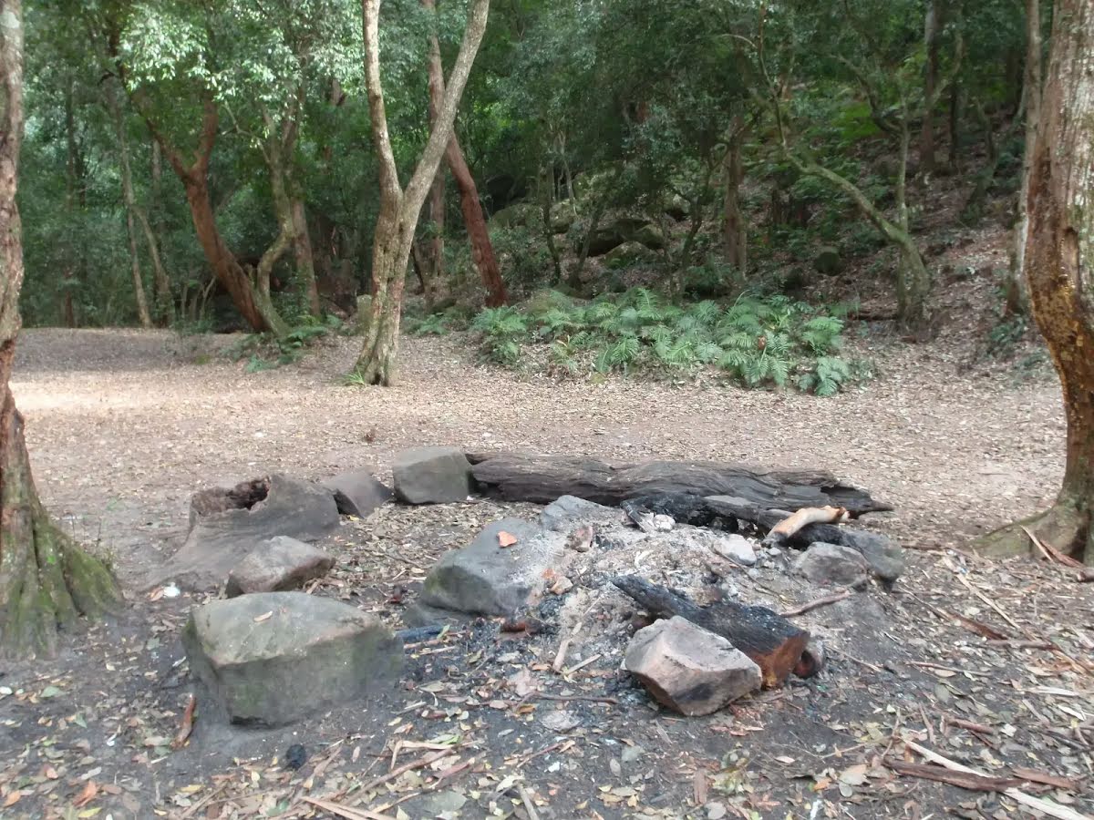
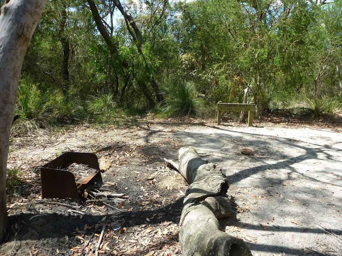
After another 2.2 km find the "Quarry Camping Area" (4 m on your left).
This is a small signposted campsite set among heath, grass tress, scribbly gums and aother eucalpyts. The clearing is flat and sandy and provides room to set up a few tents with and a small metal fireplace with hotplate. There is no water or other facilites here.
After another 1.1 km continue straight.
After another 95 m continue straight.
After another 1.9 km cross the ford.
After another 350 m continue straight, to head along Hawkesbury Track.
After another 155 m turn right, to head along Hawkesbury Track.
After another 105 m continue straight.
After another 260 m veer left.
After another 185 m veer left.
After another 275 m veer right, to head along Silvesters Road.
After another 820 m continue straight, to head along Silvesters Road.
After another 40 m continue straight, to head along Silvesters Road.
After another 620 m (at the intersection of Wisemans Ferry Road & Silvesters Road) turn left, to head along Wisemans Ferry Road (a road).
After another 550 m (at the intersection of Wisemans Ferry Road & Marabunga Road) continue straight, to head along Wisemans Ferry Road.
After another 350 m find the "Somersby Store" (40 m on your left).
Somersby Store offers a good place to have lunch or pick up the basic food supplies. The store serves hot food including burgers, chips, pies etc and cold drinks. Opening hours are 6am - 6pm Monday to Friday and 6.30am to 4pm on Saturdays (closed Sundays). There is a pay phone and a bus stop however services are limited to two buses a day. Contact details are (02)4372 1269, at 841 Wisemans Ferry Road Somersby, NSW 2250. The store owners are happy for you to phone ahead. If you are a large group you can order ahead to save the stress. I always encourage people to use local stores like this on track, but since it is a small store it is worth phoning ahead to see what they have what you want in stock.
After another 7 m pass the car park (15 m on your left).
After another 20 m pass the toilet (15 m on your left).
After another 80 m cross the bridge (about 20 m long)
After another 750 m (at the intersection of Dog Trap Road & Wisemans Ferry Road) turn right, to head along Dog Trap Road (a residential road).
After another 105 m (at the intersection of Kilkenny Road & Dog Trap Road) turn left, to head along Kilkenny Road (a vehicle track).
After another 910 m continue straight, to head along Kilkenny Road.
After another 45 m continue straight, to head along Kilkenny Road.
After another 295 m cross the ford.
After another 2.5 km find the "Palm Grove Campsite" (30 m on your right).
A Great North Walk signposted campsite with plenty of room for a few tents but providing minimal facilities ie. no water, toilets or tables however there is a bench and barbeque plate and room for a fire.
After another 940 m turn left, to head along Ourimbah Creek Road.
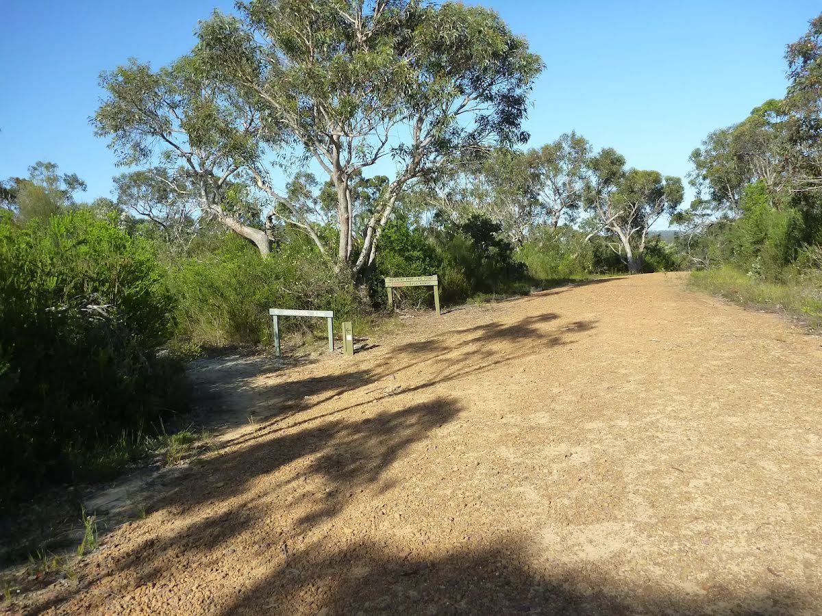
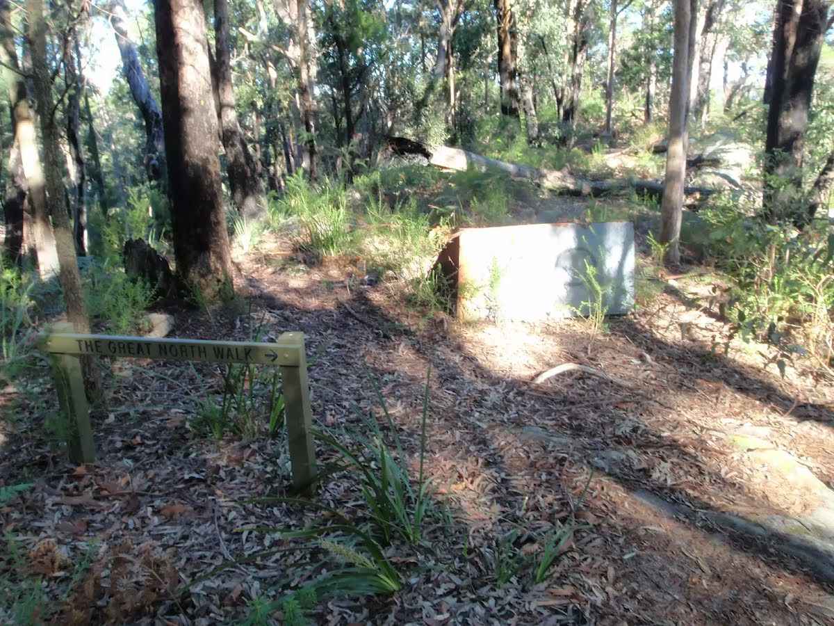
After another 9 m pass the "Great North Walk" (on your left).
After another 1.8 km (at the intersection of Ourimbah Creek Road & Platypus Creek Lane) continue straight, to head along Ourimbah Creek Road (a vehicle track).
After another 80 m head through/around the gate.
After another 740 m cross the ford.
After another 1.1 km (at the intersection of Cedar Brush Walk & Ourimbah Creek Road) turn left, to head along Cedar Brush Walk (a walking track).
After another 1.6 km find the "Tooheys Road campsite" (6 m on your left).
This is a small camping area on the side of Tooheys Road, with room for a small number of tents but providing no facilities.
After another 530 m find the "Stringy Bark Point" (on your left).
This campsite is in a small clearing at Stringy Bark Point, just on the southern side of the bridge. This campsite provides room for a small campfire and a few tents. Water is usually available from the creek running by the campsite, please treat before drinking.
After another 155 m cross the ford.
After another 1.3 km (at the intersection of Tooheys Road & Cedar Brush Walk) veer left, to head along Tooheys Road (a vehicle track).
After another 2.3 km turn left.
After another 95 m find the "Campsite" (15 m on your right).
A basic clearing for an overnight stay, providing room for a fire and small number of tents. There is no water at this campsite so you will need to carry sufficient.
After another 1.7 km continue straight.
After another 200 m veer left.
After another 75 m continue straight.
After another 660 m continue straight.
After another 10 m continue straight.
After another 600 m turn right, to head along Cherry Lane.
After another 1.4 km (at the intersection of Greta Road & Cherry Lane) turn right, to head along Greta Road (a highway|tertiary).
After another 410 m turn sharp left.
After another 265 m continue straight.
After another 40 m continue straight.
After another 185 m veer left.
After another 120 m turn right.
After another 4.1 km continue straight, to head along Bumble Hill Road.
After another 530 m come to "Yarramalong Store".
Yarramalong Store is good place to have lunch or pick up the basic food supplies. The store serves hot food including burgers, chips, pies etc as well as cold drinks. The store is open 7am to 7pm, 7 days a week. There is a pay phone outside and a tap to refill water, and the store has its own fuel pump. Phone on (02)4356 1222. The address is 1625 Yarramalong Rd, Yarramalong NSW 2259. I always encourage people to use local stores like this on track, but since it is a small store it is worth phoning ahead to see what they have what you want in stock. It is a small store so choice is limited.
Continue another 0 m to find at the intersection of Yarramalong Road & Bumble Hill Road at the end.
Wondabyne to Yarramalong
Grading
Class 4/6
Hard track
Length
50.8 km
Time
16 h to 2 days
Quality of track
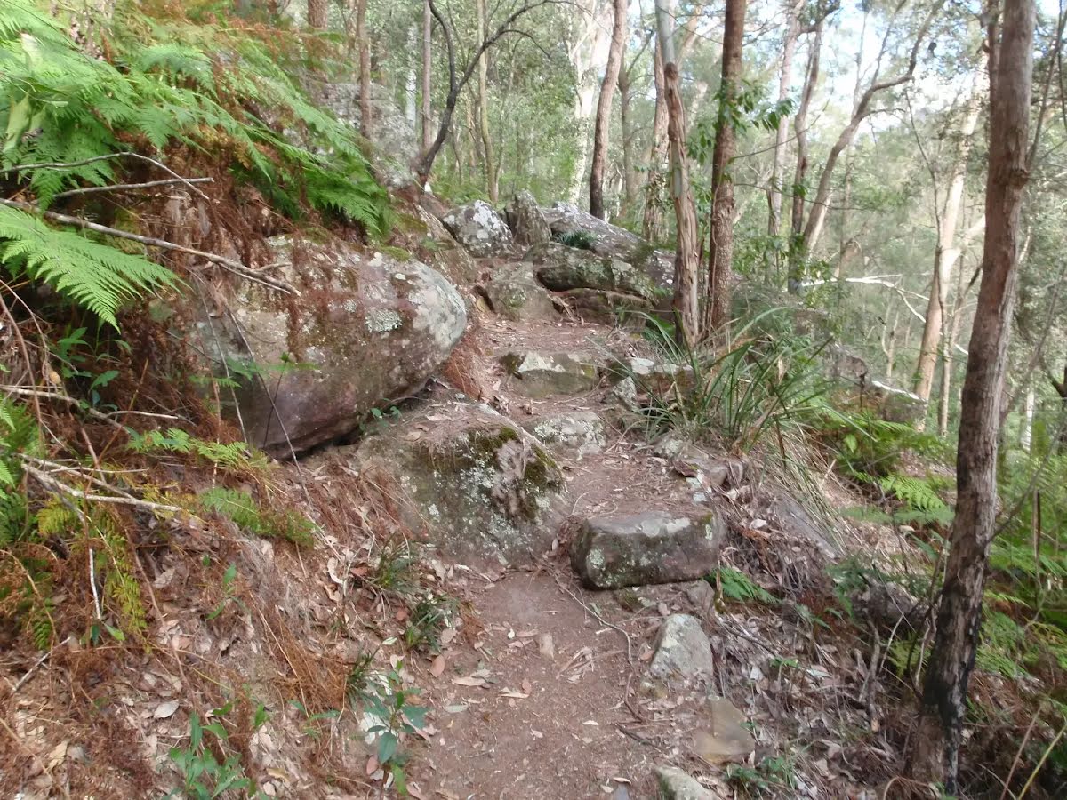
Rough track, where fallen trees and other obstacles are likely (4/6)
Gradient
Very steep (4/6)
Signage
Directional signs along the way (3/6)
Infrastructure
Limited facilities, not all cliffs are fenced (3/6)
Experience Required
Some bushwalking experience recommended (3/6)
Weather
Storms may impact on navigation and safety (3/6)
Some facilities on route
Campsite: There are 7 on route, on average they are 6.3 km apart with the largest gap of 17 km.
Mostly sunny. Areas of frost and the chance of fog in the morning. Slight chance of a shower about the Upper Hunter in the evening. Near zero chance of rain elsewhere. Light winds. Overnight temperatures falling to between minus 3 and 3 above zero with daytime temperatures reaching between 15 and 18.
Friday 18 July
5°C → 16°C
Shower or two. 70% chance of rain 0 → 6mm
Partly cloudy. High chance of showers along the coastal fringe, medium chance elsewhere. Areas of morning frost. Light winds becoming south to southeasterly 15 to 20 km/h in the middle of the day then becoming light in the evening. Overnight temperatures falling to between zero and 5 with daytime temperatures reaching between 13 and 17.
UV Alert: Sun protection not recommended, UV Index predicted to reach 2 [Low]
Partly cloudy. The chance of morning fog. Medium chance of showers along the coastal fringe, slight chance elsewhere. Light winds. Overnight temperatures falling to between 3 and 7 with daytime temperatures reaching between 15 and 19.
Sunday 20 July
4°C → 18°C
Sunny. 10% chance of rain
Sunny. Areas of morning frost. Light winds. Overnight temperatures falling to between minus 1 and 5 above zero with daytime temperatures reaching between 15 and 18.
Monday 21 July
8°C → 19°C
Possible shower. 40% chance of rain 0 → 1mm
##
Tuesday 22 July
8°C → 19°C
Possible shower. 40% chance of rain 0 → 1mm
Possible shower.
Wednesday 23 July
9°C → 20°C
Shower or two. 60% chance of rain 0 → 3mm
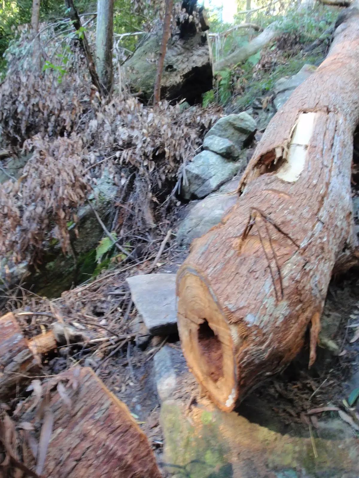
Closed areas: Partial closure Piles Creek Loop Walking Track Part of Piles Creek Loop Walking Track will be closed until 30 June 2026 while rockfall investigations and mitigation works are undertaken.
The closed area is between the suspension bridge and Bundilla Lookout on the western side of Piles Creek.
Areas that will remain open are:
Piles Creek Loop Walking Track on the eastern side of Piles Creek
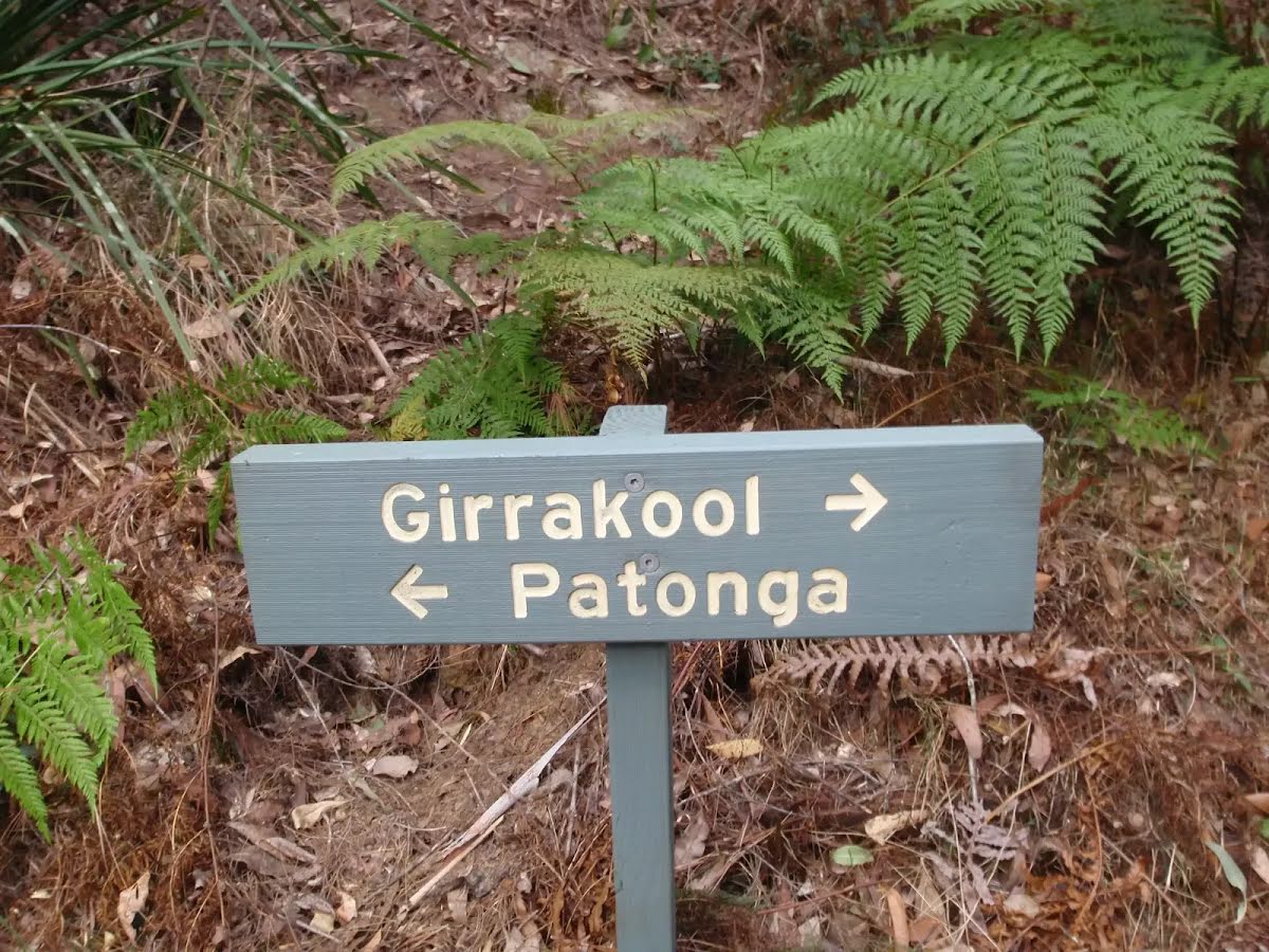
Access to the Great North Walk from Girrakool Picnic Area
Bundilla Lookout
Barriers and signage are in place around the closed area. Penalties apply for non-compliance. For more information, contact the local NPWS office on 02 4320 4200.
Closed areas: Somersby Falls walking track closed for upgrade Somersby Falls walking track, including access to the middle and bottom waterfalls will be closed from 30 June to 10 October 2025 while the track is upgraded.
The picnic area and carpark will remain open during the works.
Consider visiting the nearby Girrakool picnic area less than 5 minutes away which also has waterfalls, walking tracks and a well established picnic area. Penalties apply for non-compliance. For more information, contact the local NPWS Central Coast Area Office on 02 4320 4200.
Closed areas: Brieses fire trail partial closure The section of Brieses fire trail between Mooney Mooney Creek and Old Mooney Dam trail is closed until further notice due to a landslip, making it unsafe for vehicles.
Signs are in place around closed areas. This area will re-open as soon as it is safe and repair works have been completed. Penalties apply for non-compliance. For more information, contact the local NPWS office on 02 4320 4200.
Closed areas: Warrah Trig Road closed to vehicles Warrah Trig Road is closed to vehicles due to an increase in illegal activities throughout the area.
The road will remain closed until investigations are completed and further recommendations are made.
The road is open to pedestrians and cyclists.
Safety alerts: Road Maintenance Fire trail maintenance and repair works will be undertaken at various locations throughout Jilliby State Conservation Area from June until September 1st, 2025. Partial and intermittent closures should be expected. Please follow the directions of any construction staff onsite and safety signage. Take care and drive to conditions.
For more information, contact the local NPWS office on 02 49729000.
Closed areas: Muirs Lookout Picnic Area - Closed Muirs Lookout Picnic Area on Prickly Ridge Road has been closed due to ageing infrastructure, obstructed lookout views to the coast and very low public visitation. Alternative picnic facilities are located nearby in Olney State Forest and Watagans National Park. Further information on other places to visit can be obtained via the NPWS or Forestry Corporation websites.
Safety alerts: Prickly Ridge Road 4WD only The section of Prickly Ridge Road between Watagan Forest Road and Cut-Rock Road is suitable for 4WD vehicles only.
To prevent further damage to the road and to protect visitor safety, please avoid this area and other trails in the reserve that are still slippery and potentially hazardous.
For further information, please contact the Central Coast Area Office at Lake Munmorah on 02 4972 9000.