Florence Falls Circuit

20 min to 40 min

1.4 km
circuit

↑ 25 m
↓ -25 m

Easy track
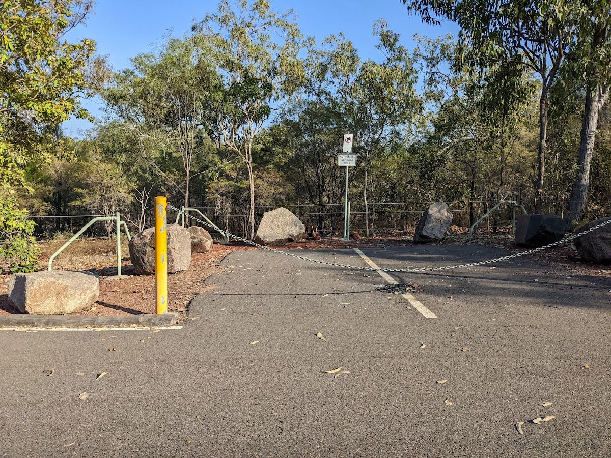
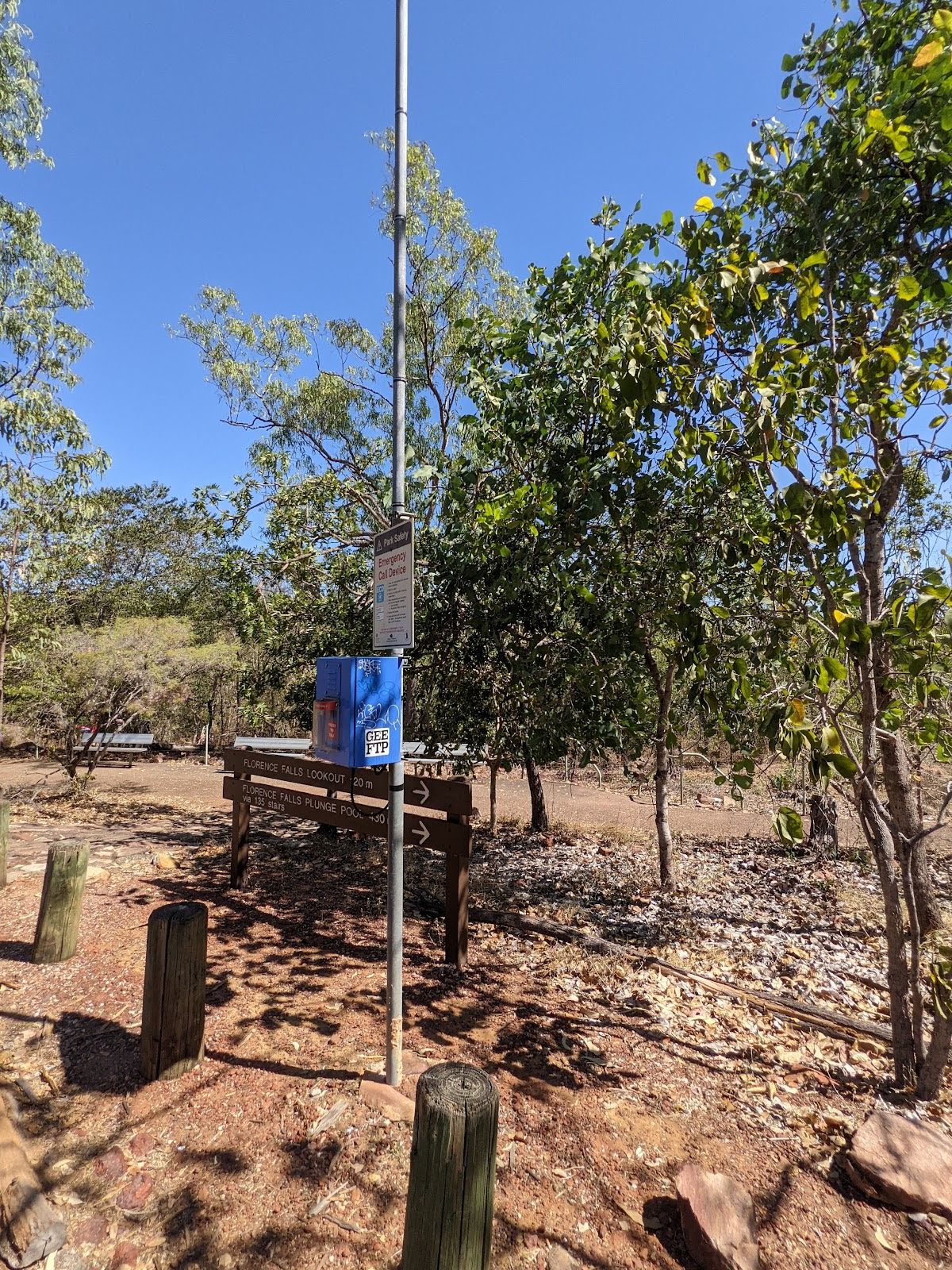
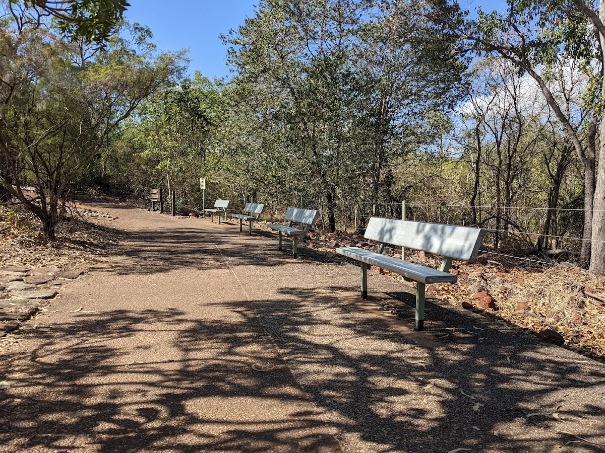
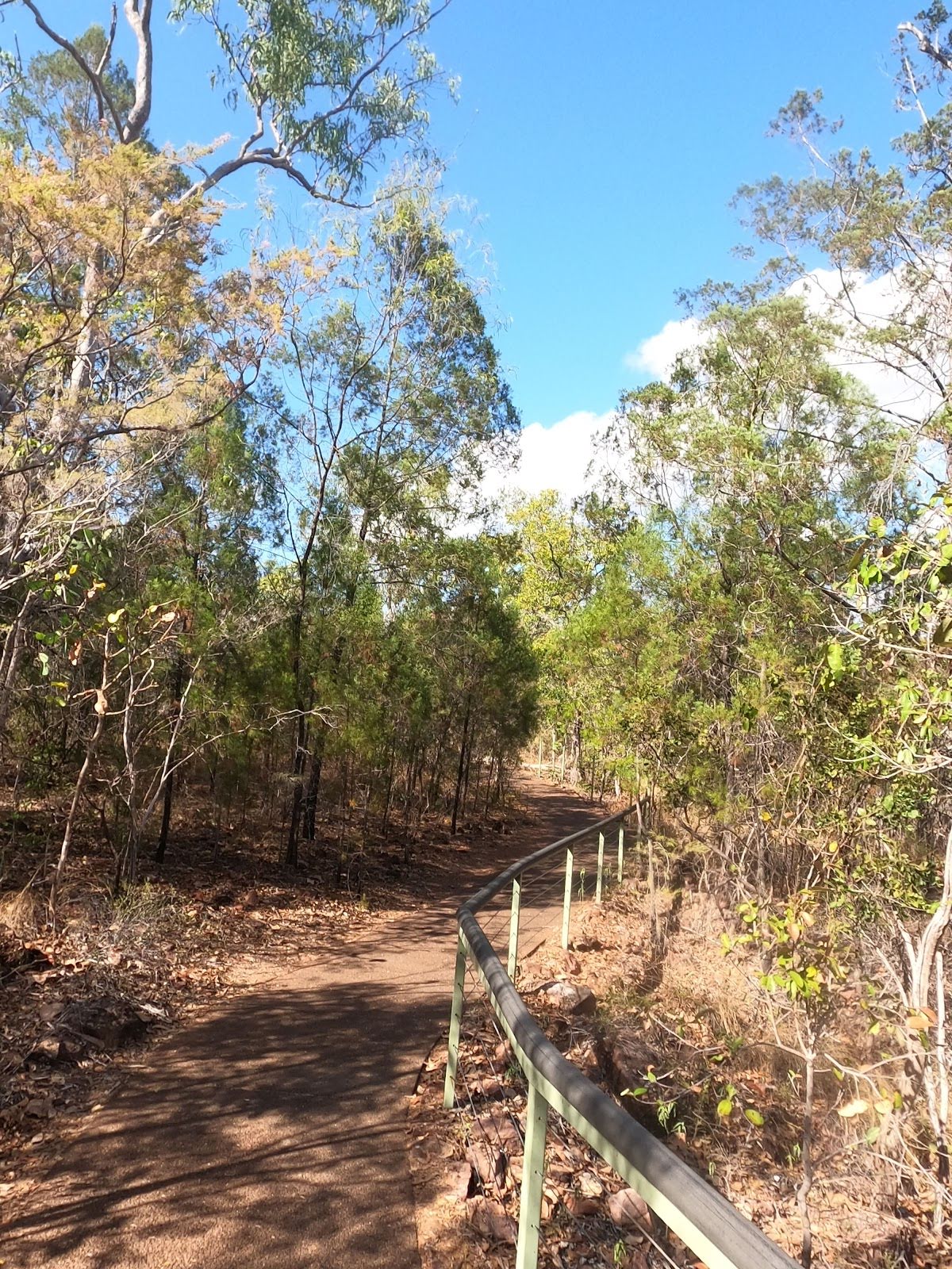
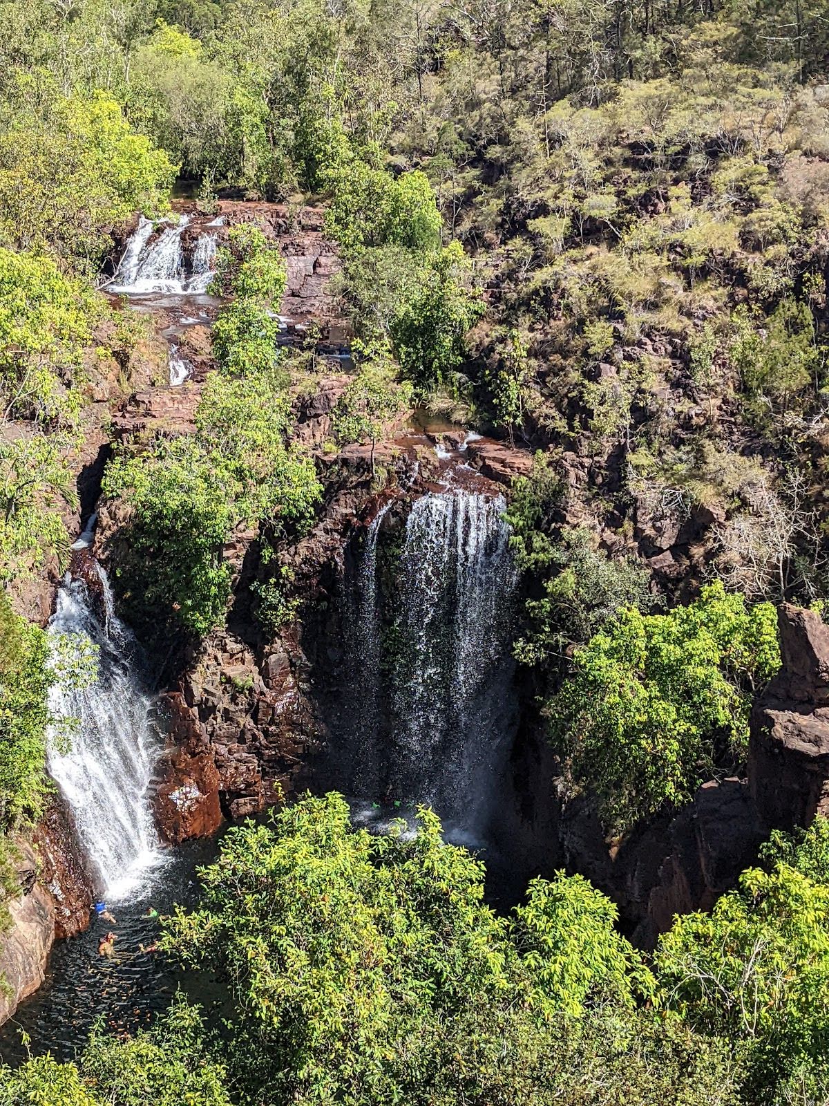
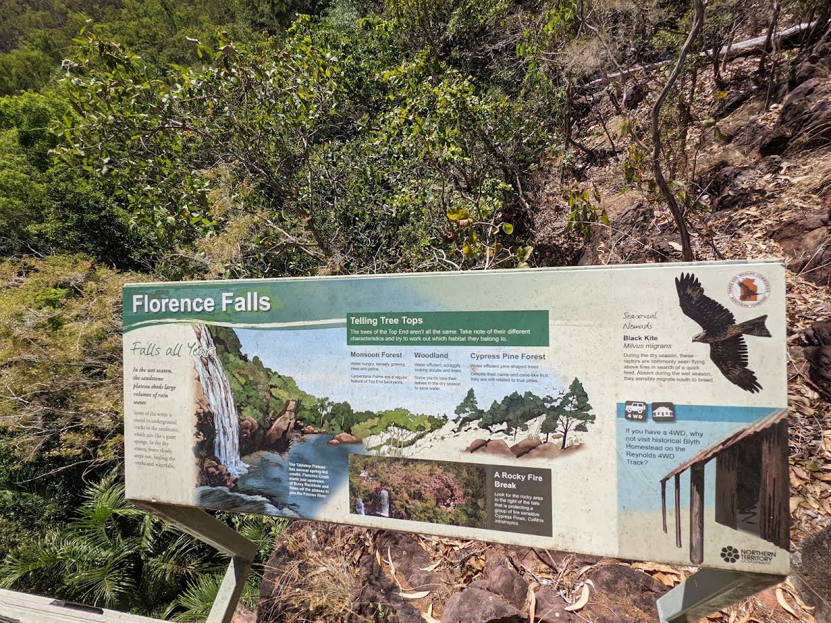
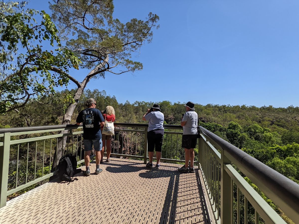
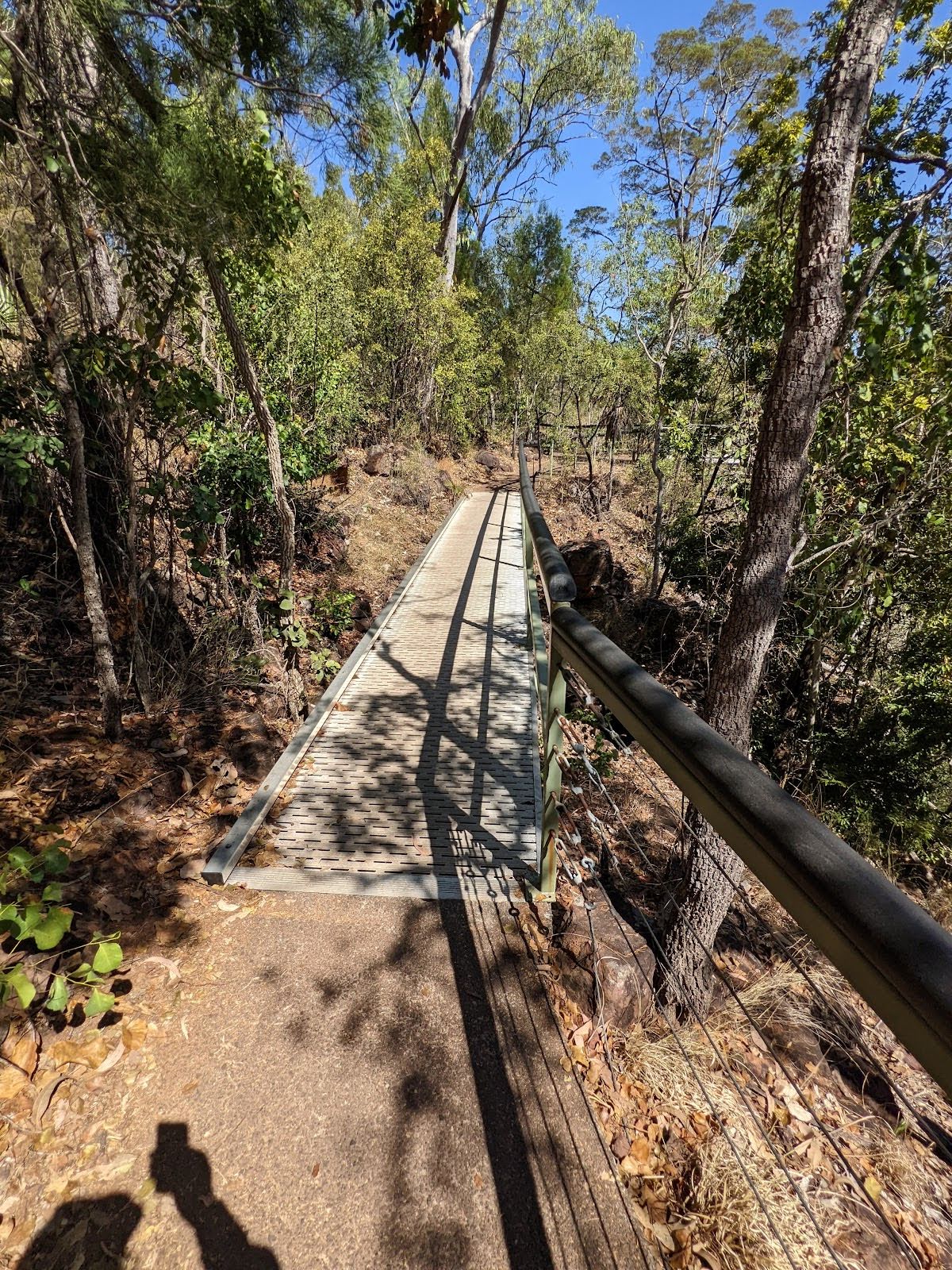
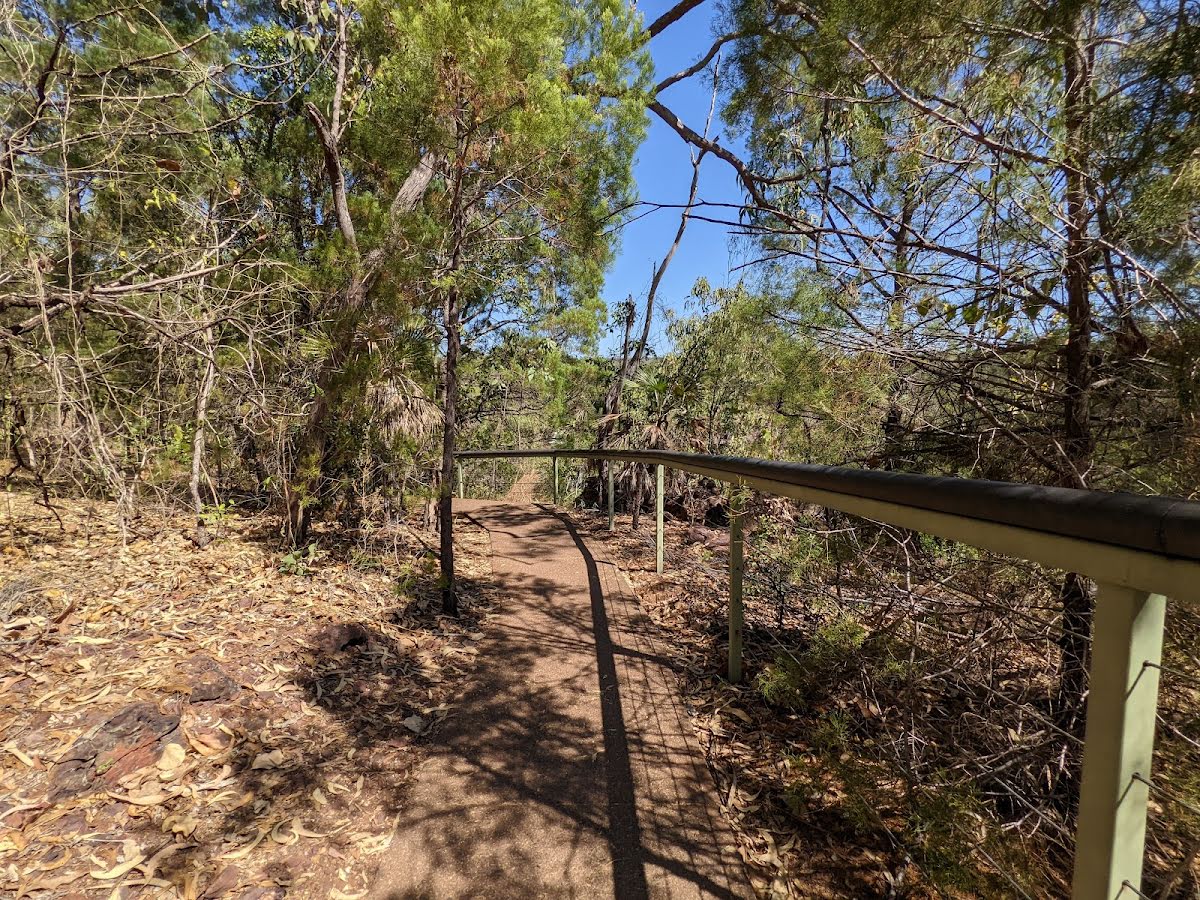
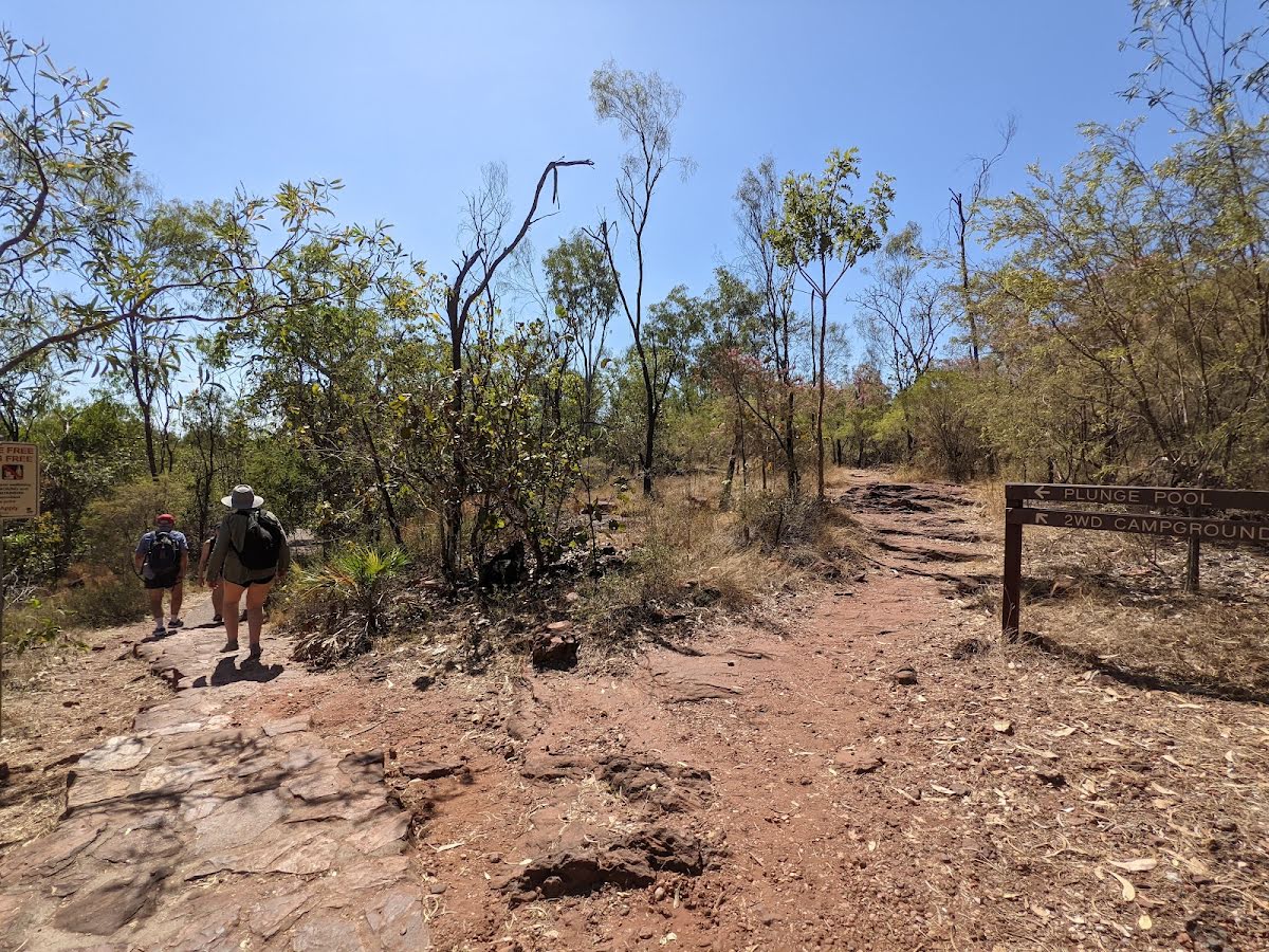
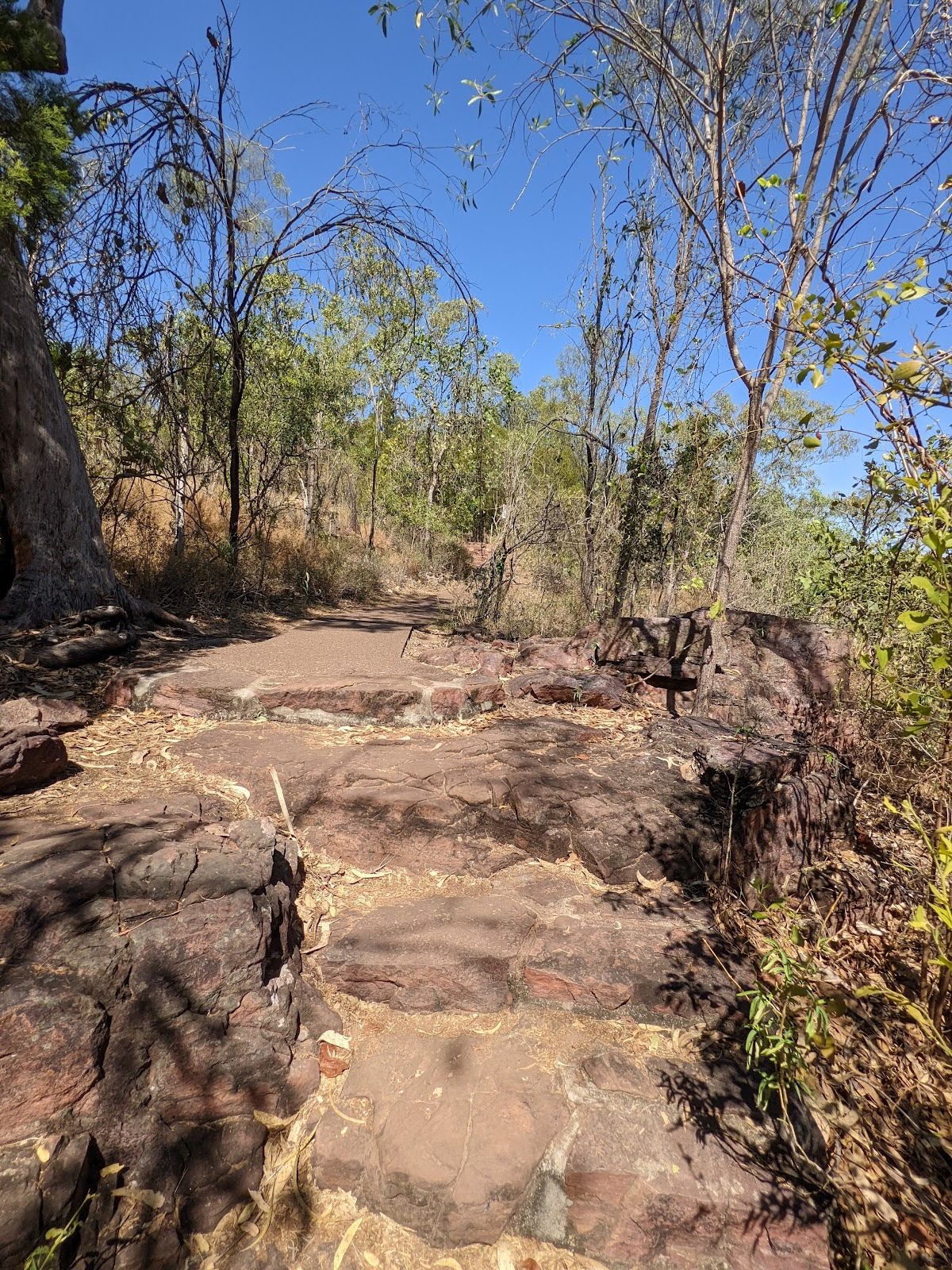
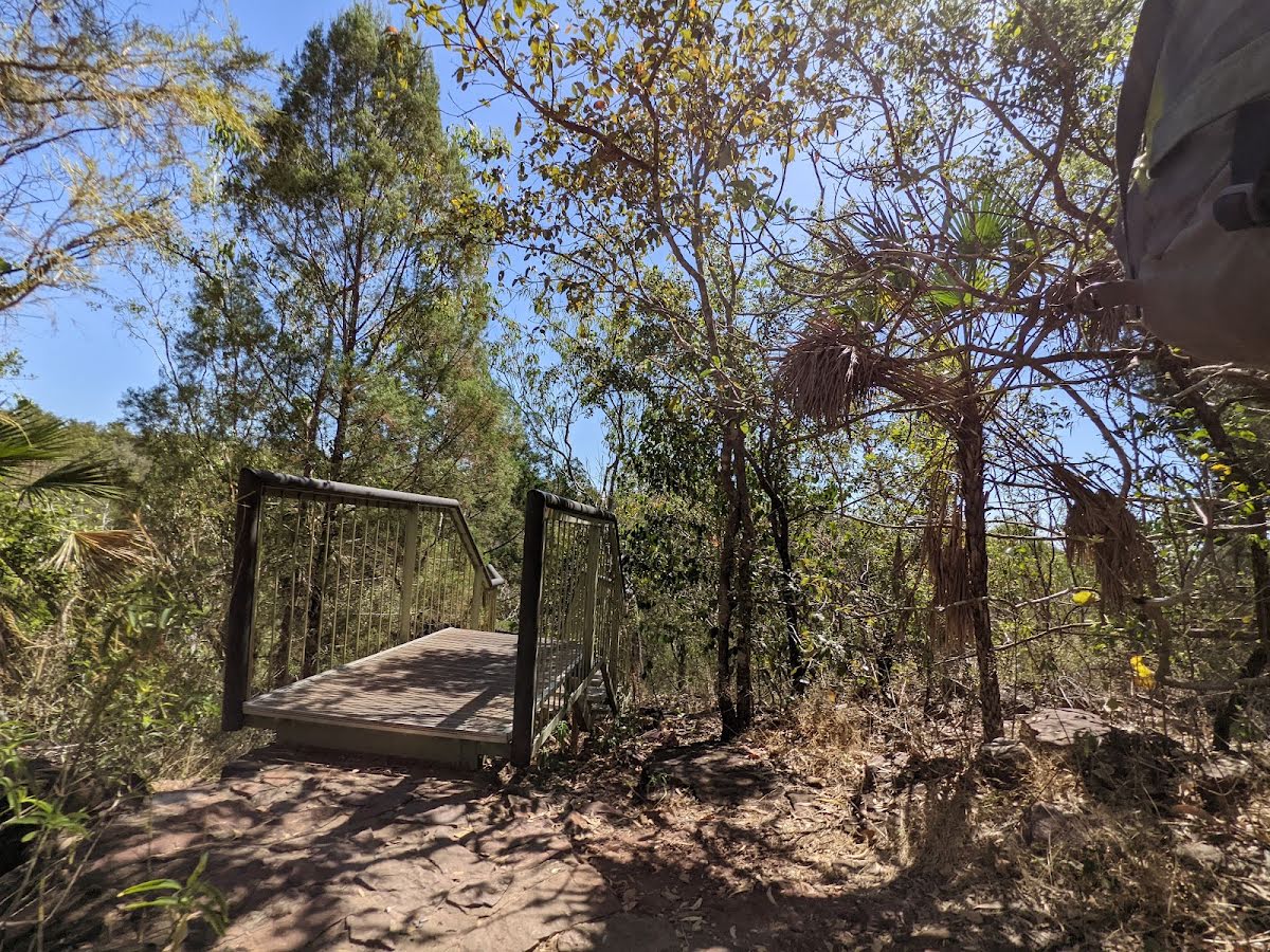
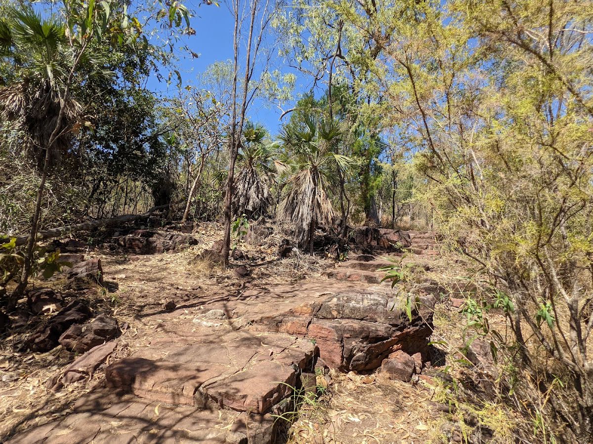
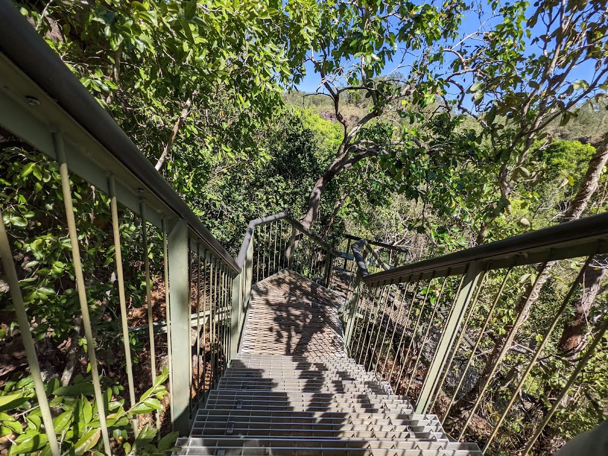
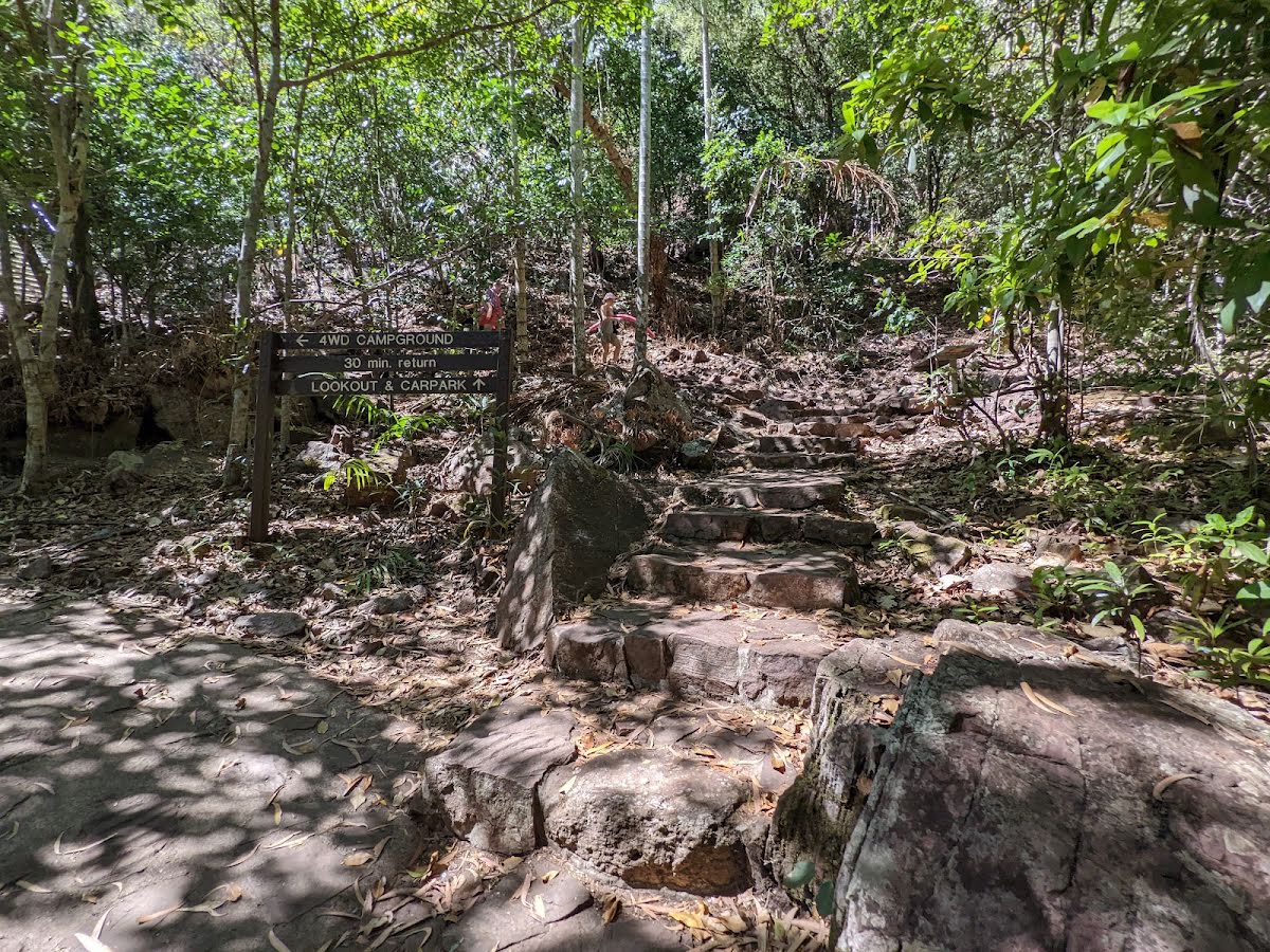
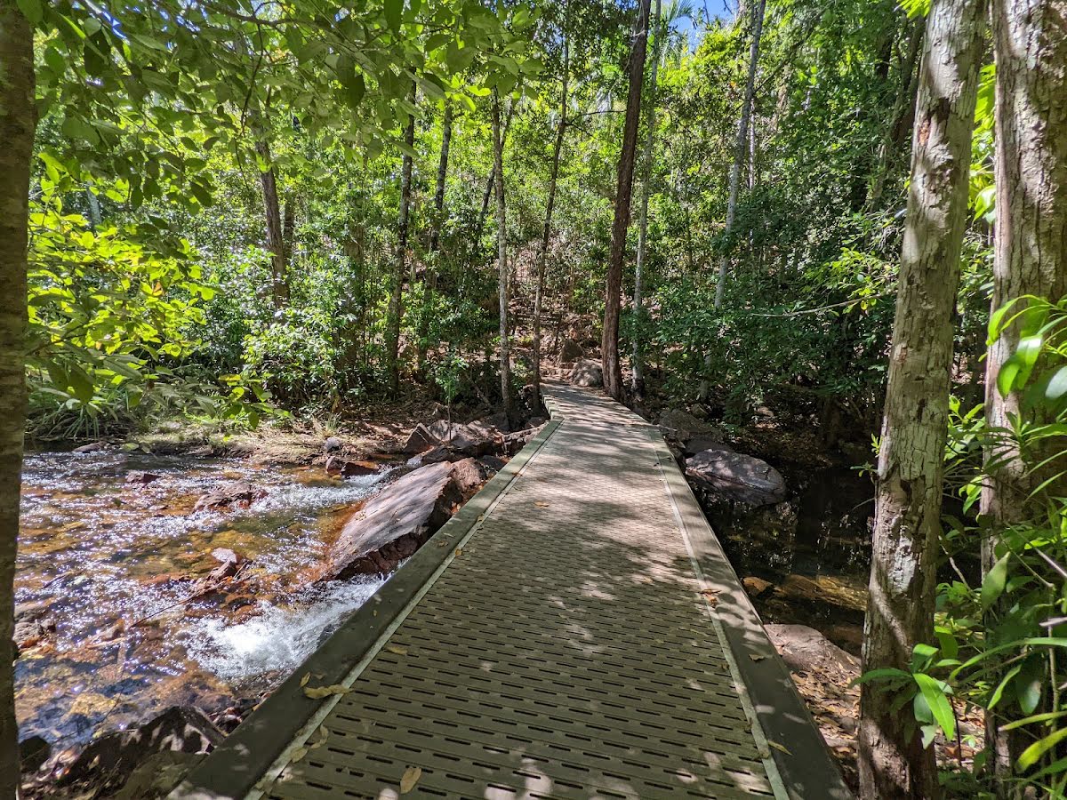
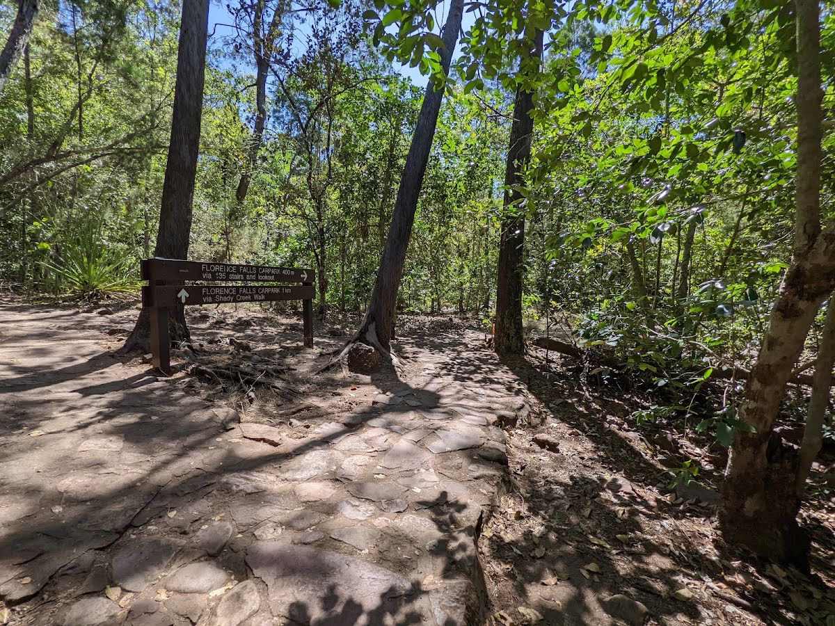
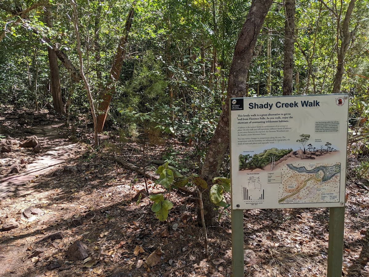
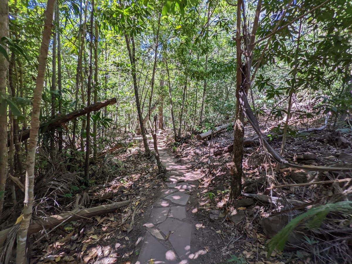
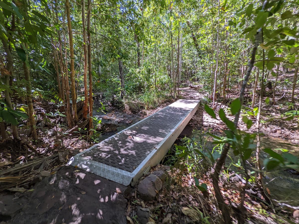
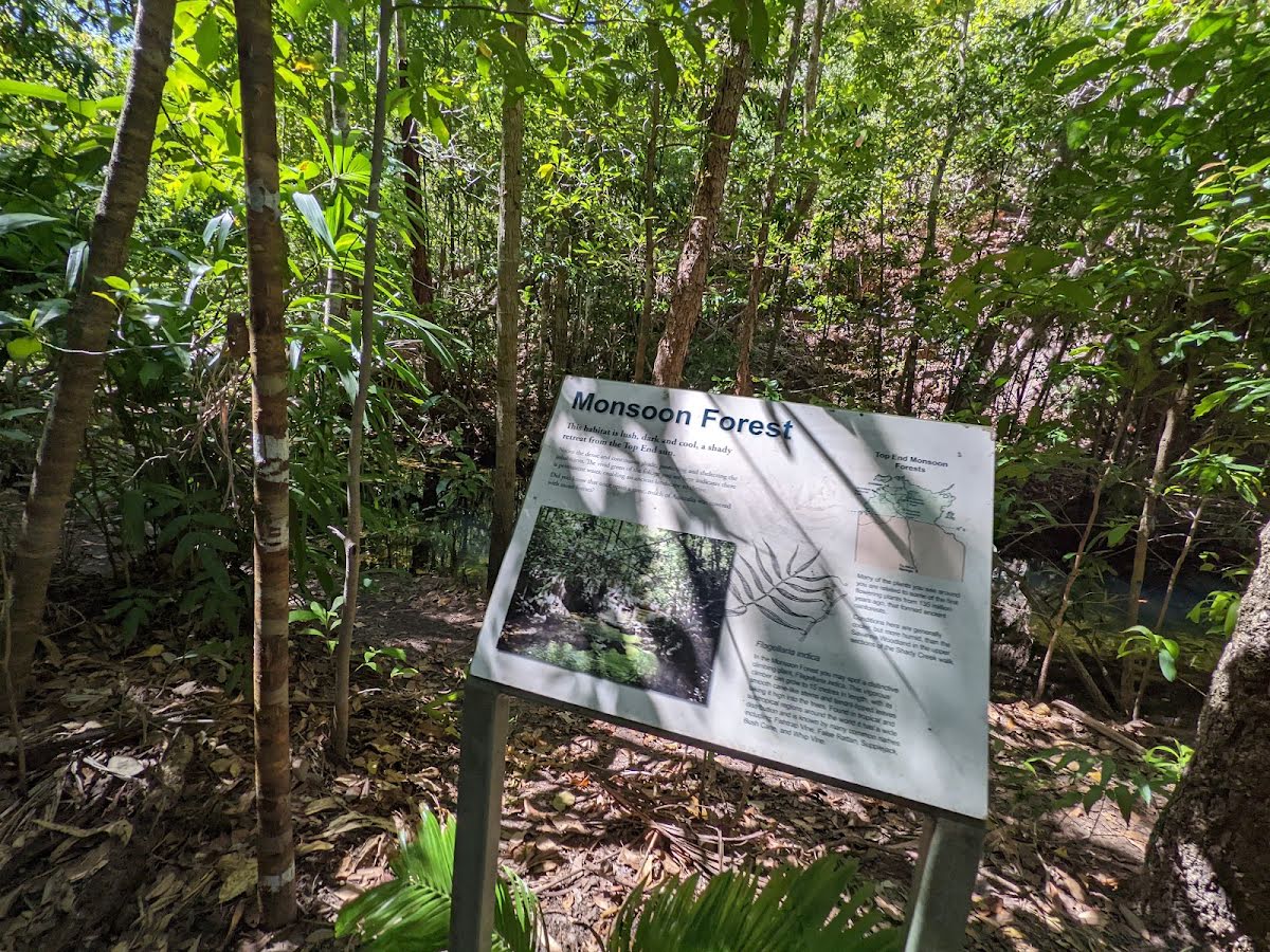
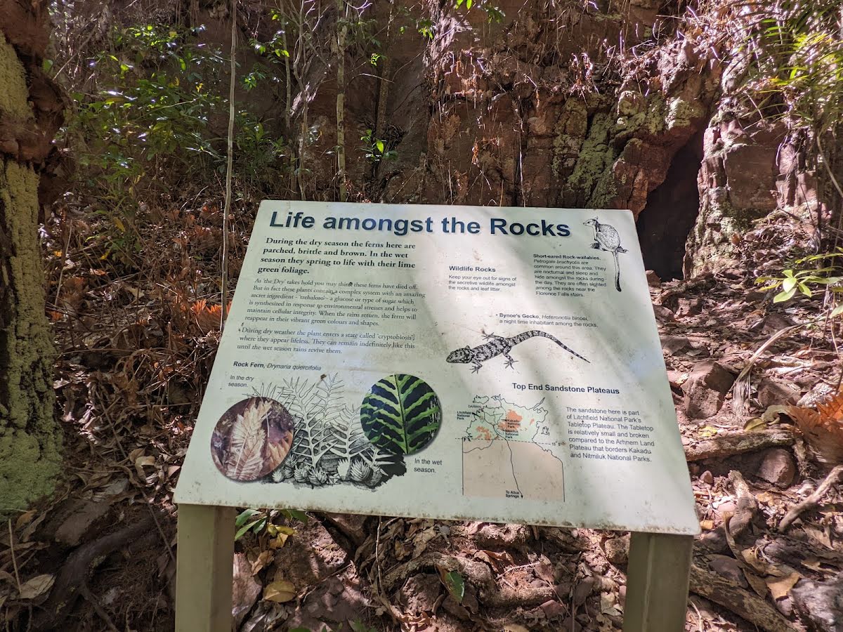
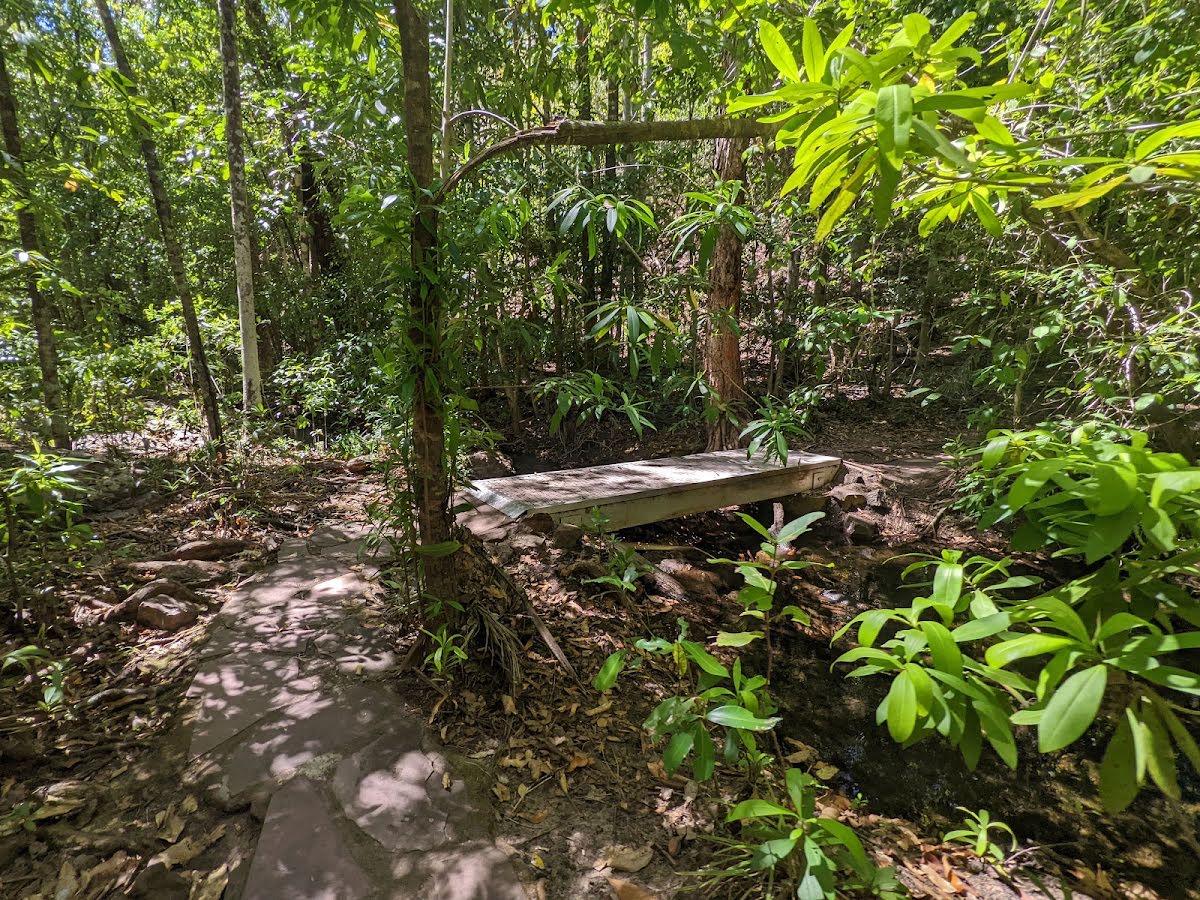
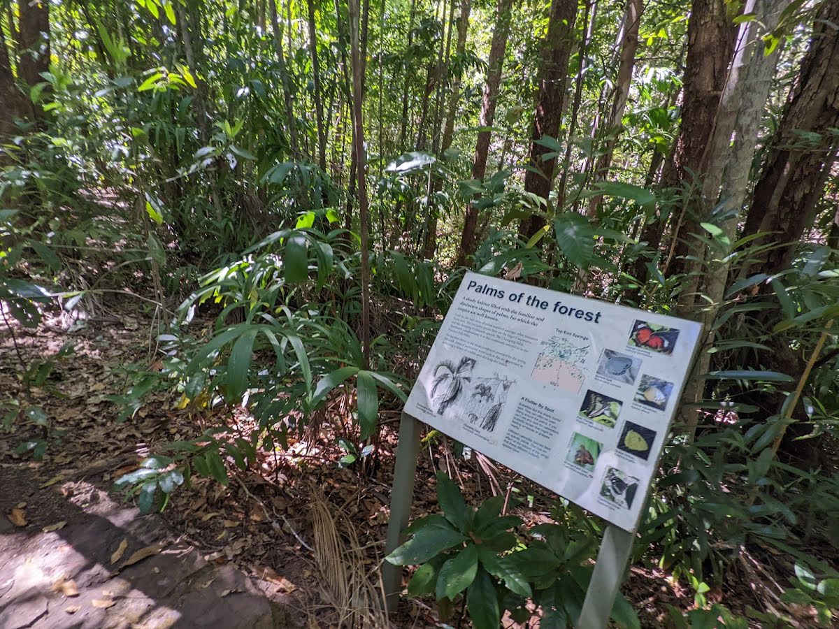
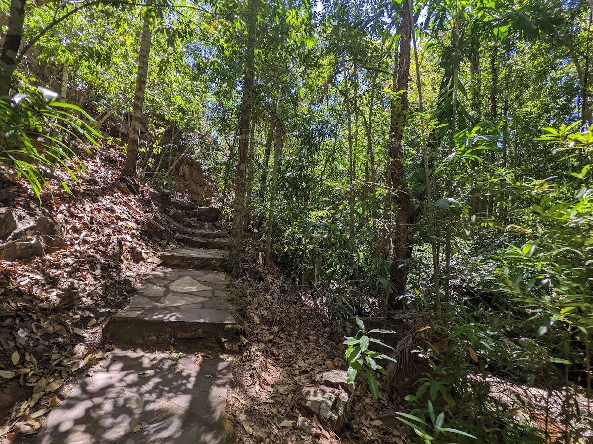
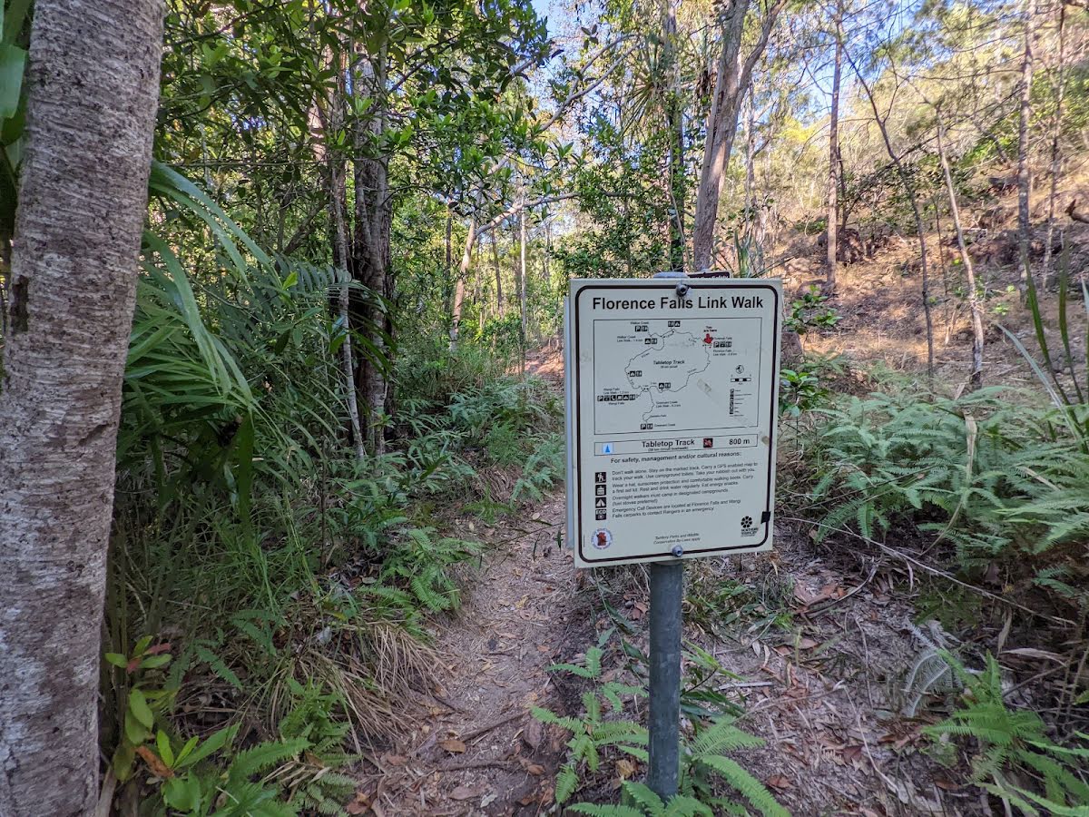
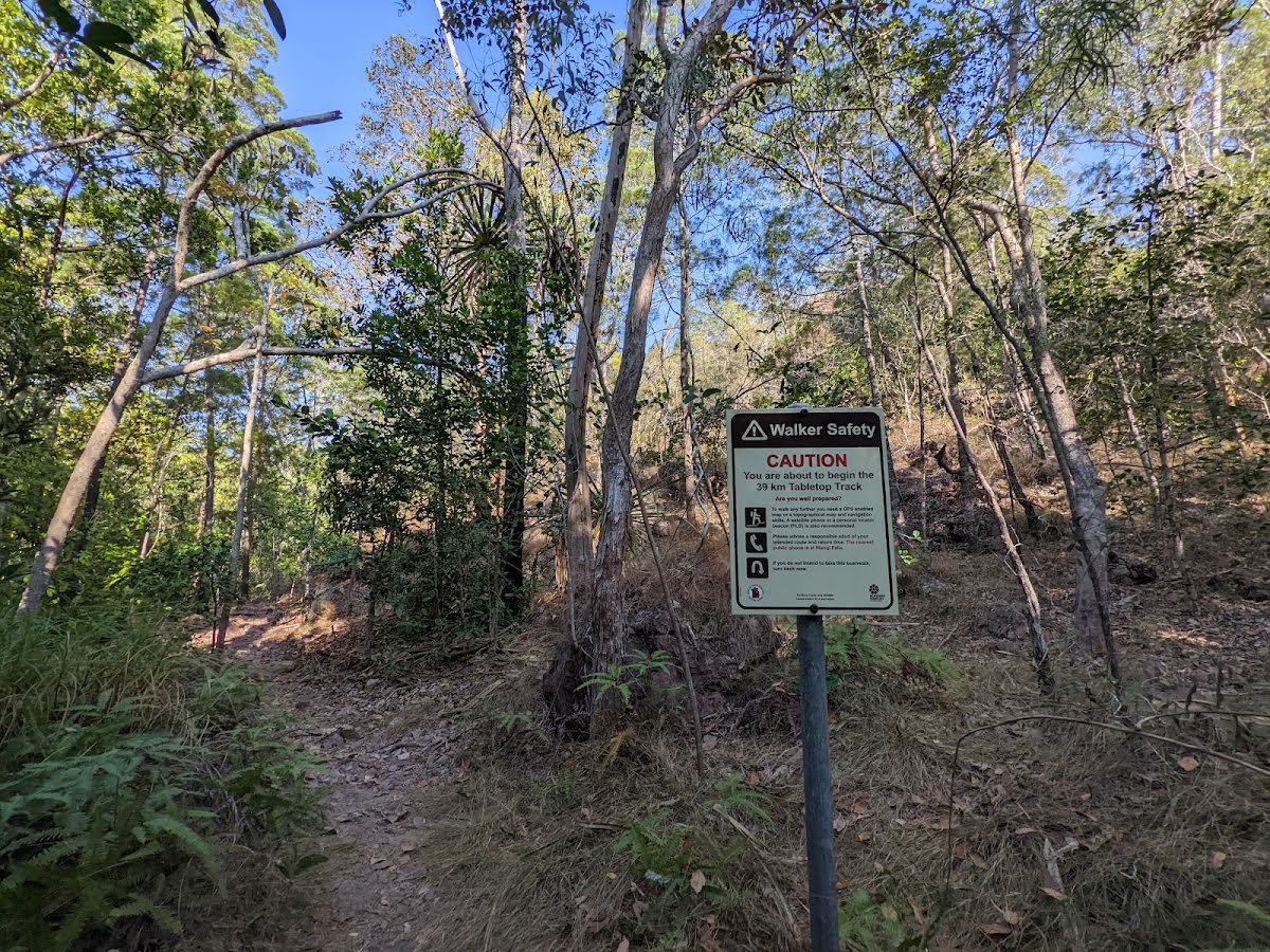
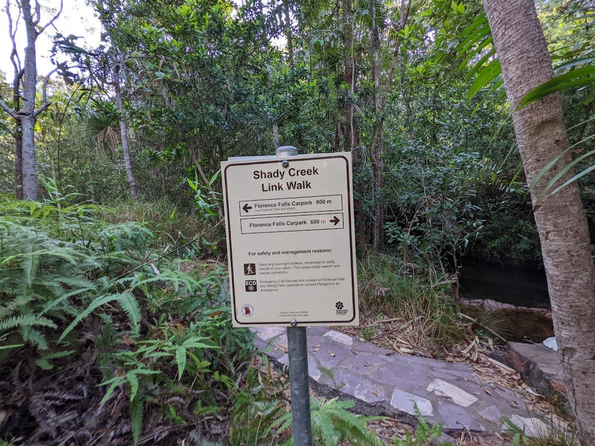
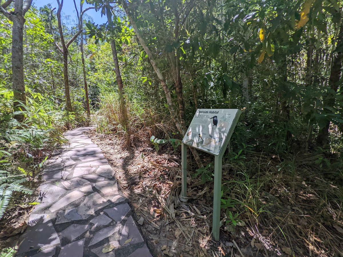
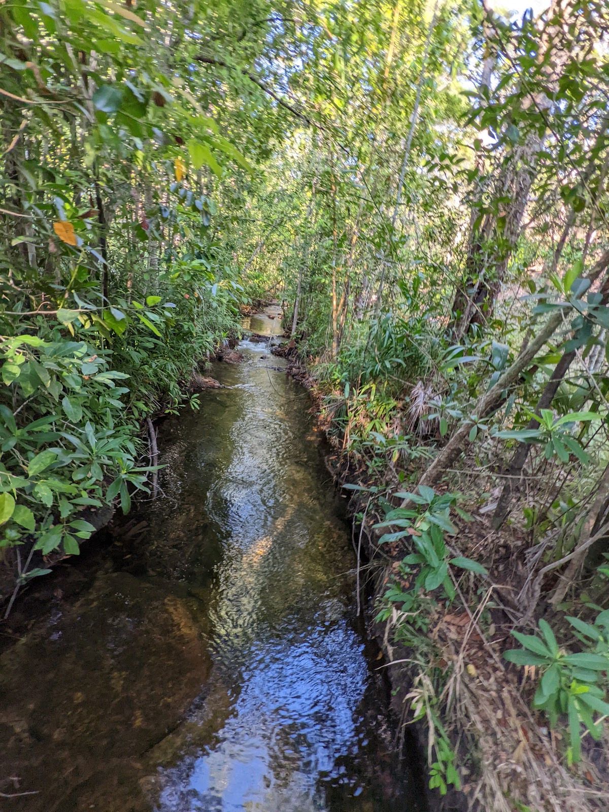
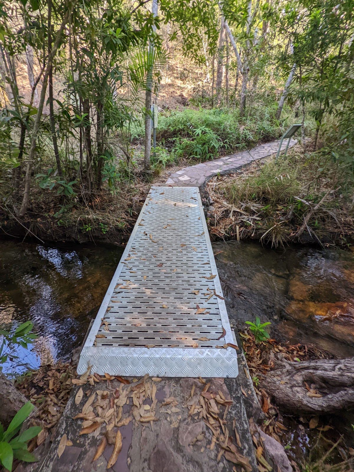
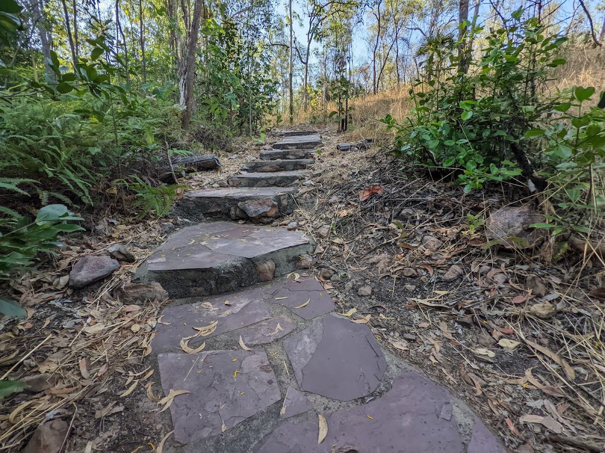
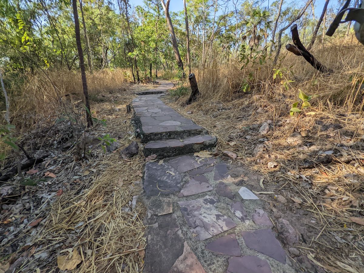
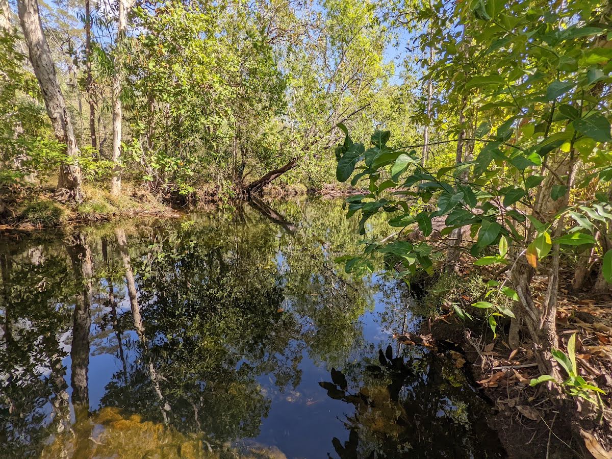
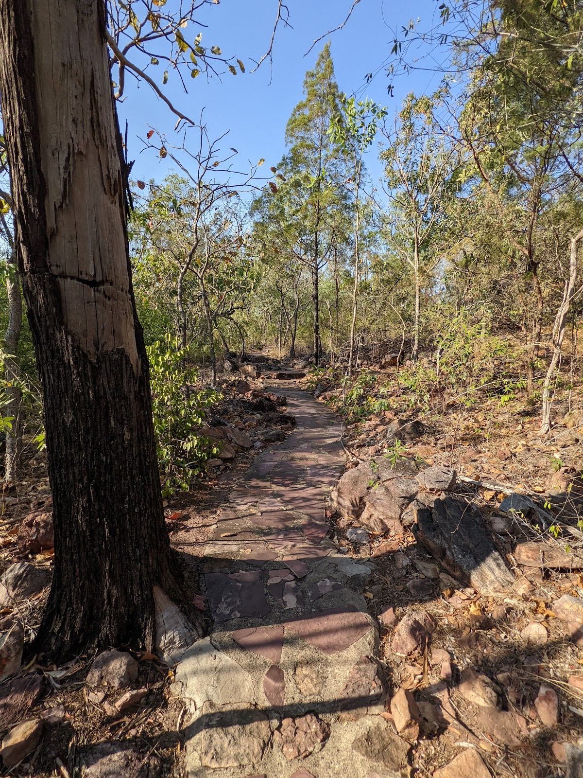
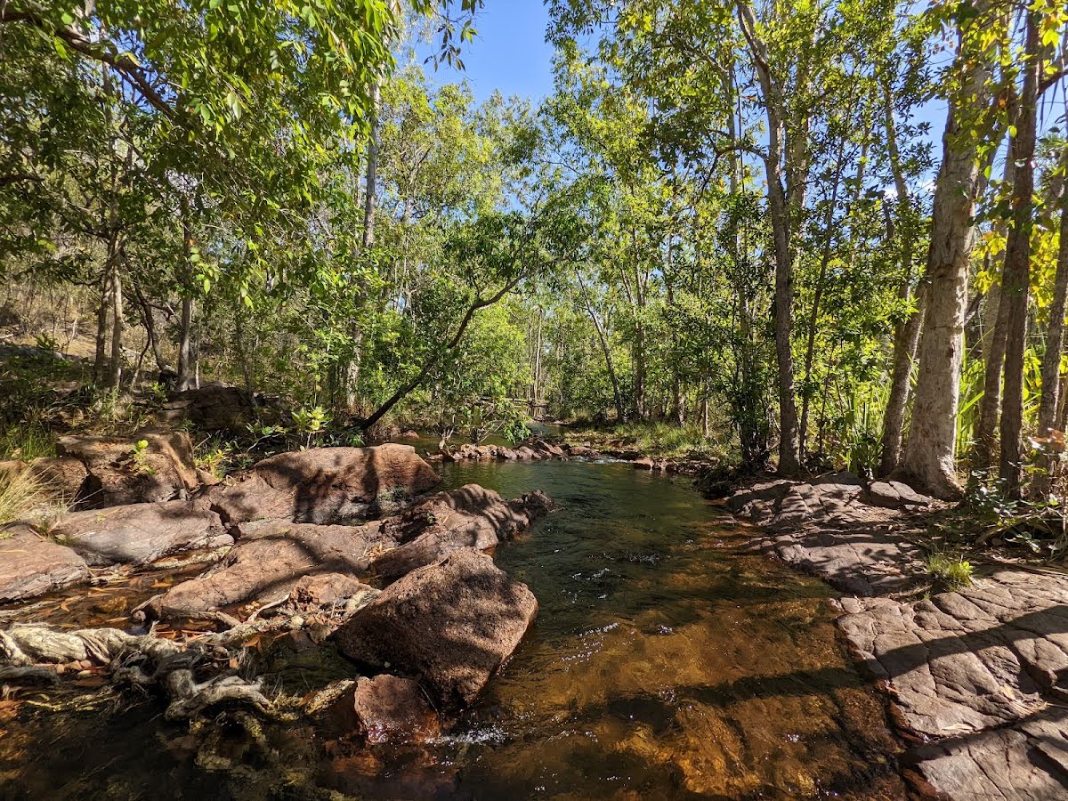
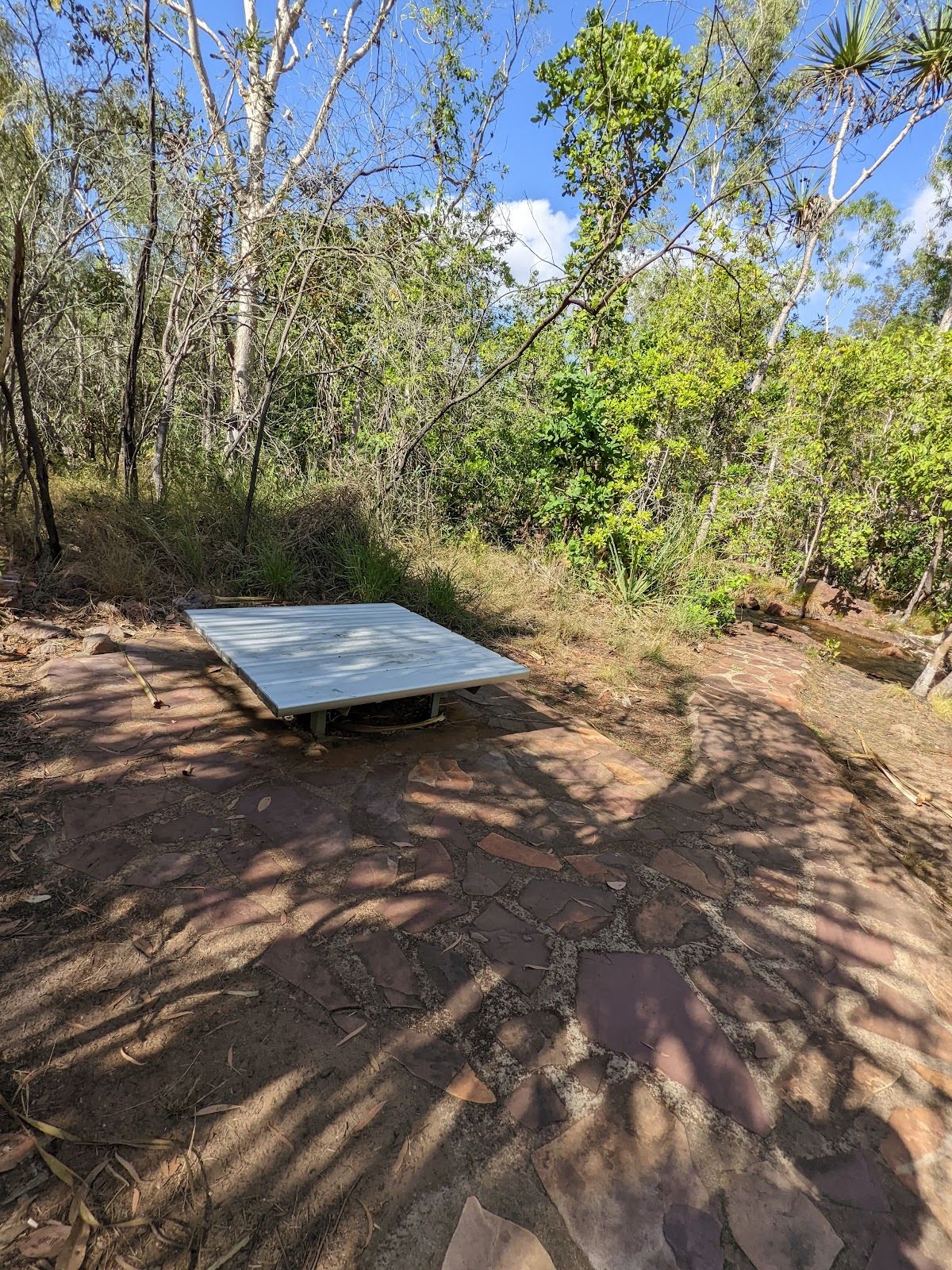
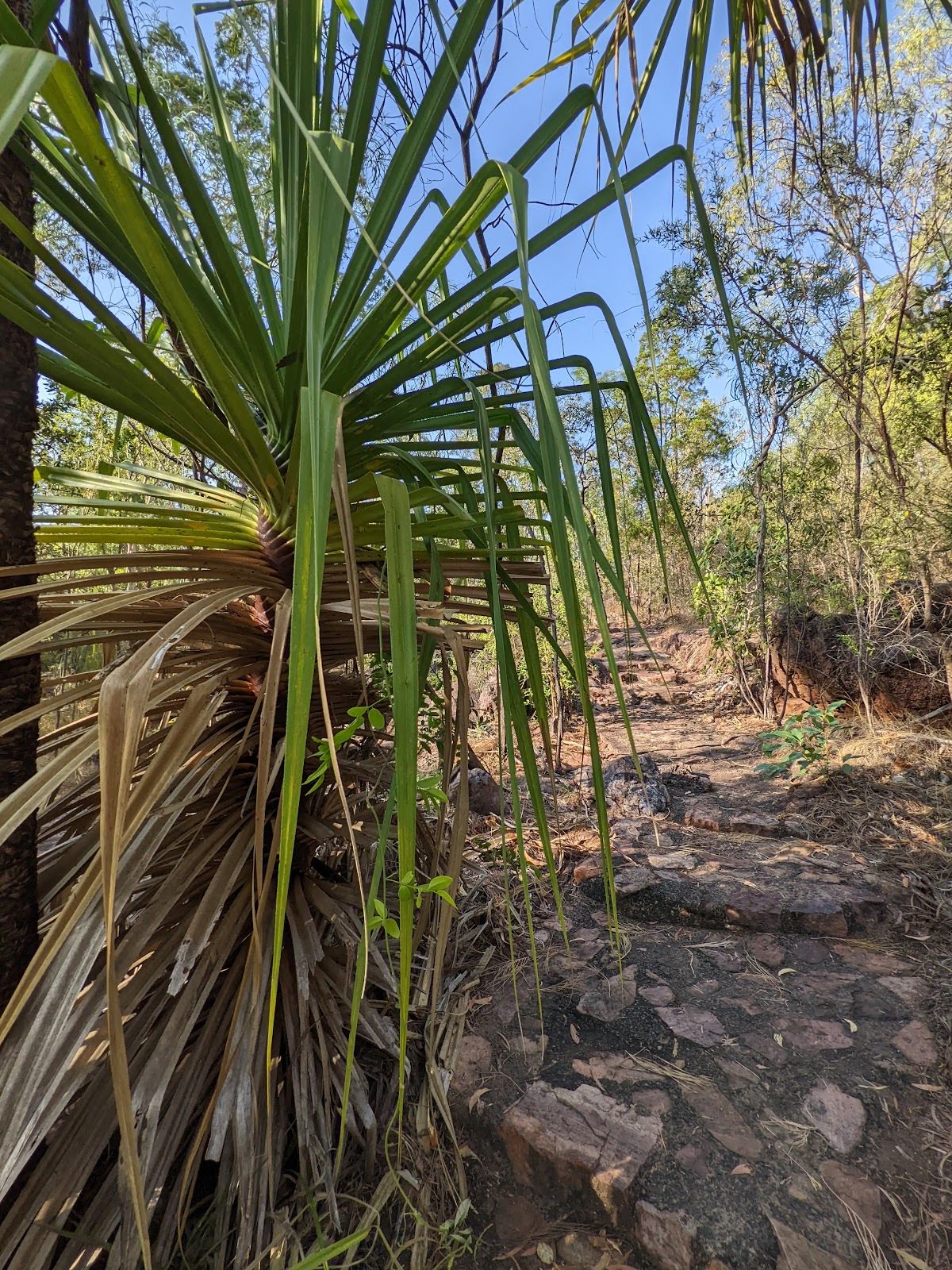
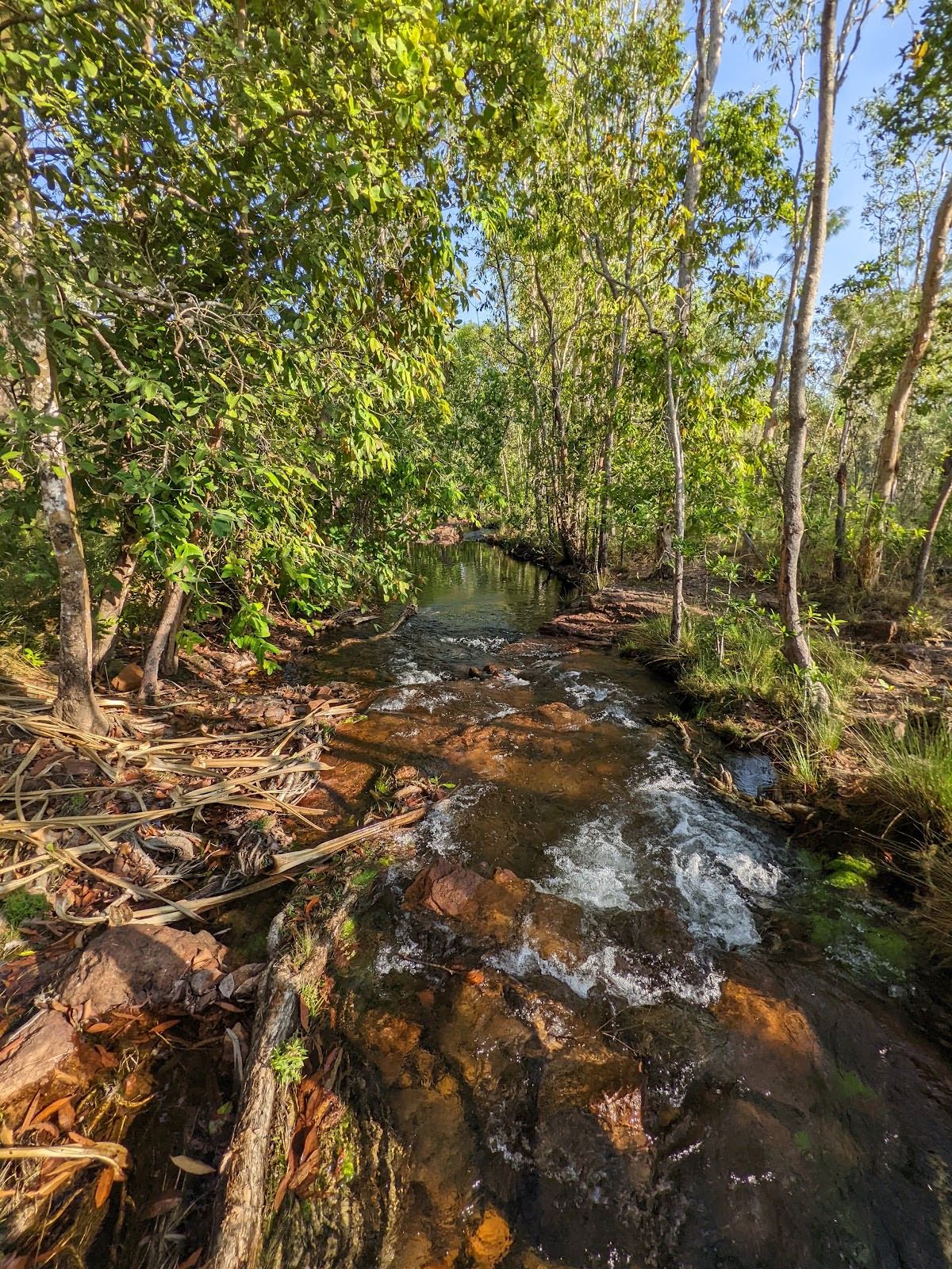
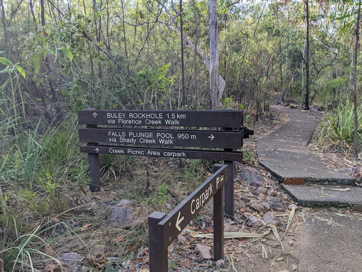
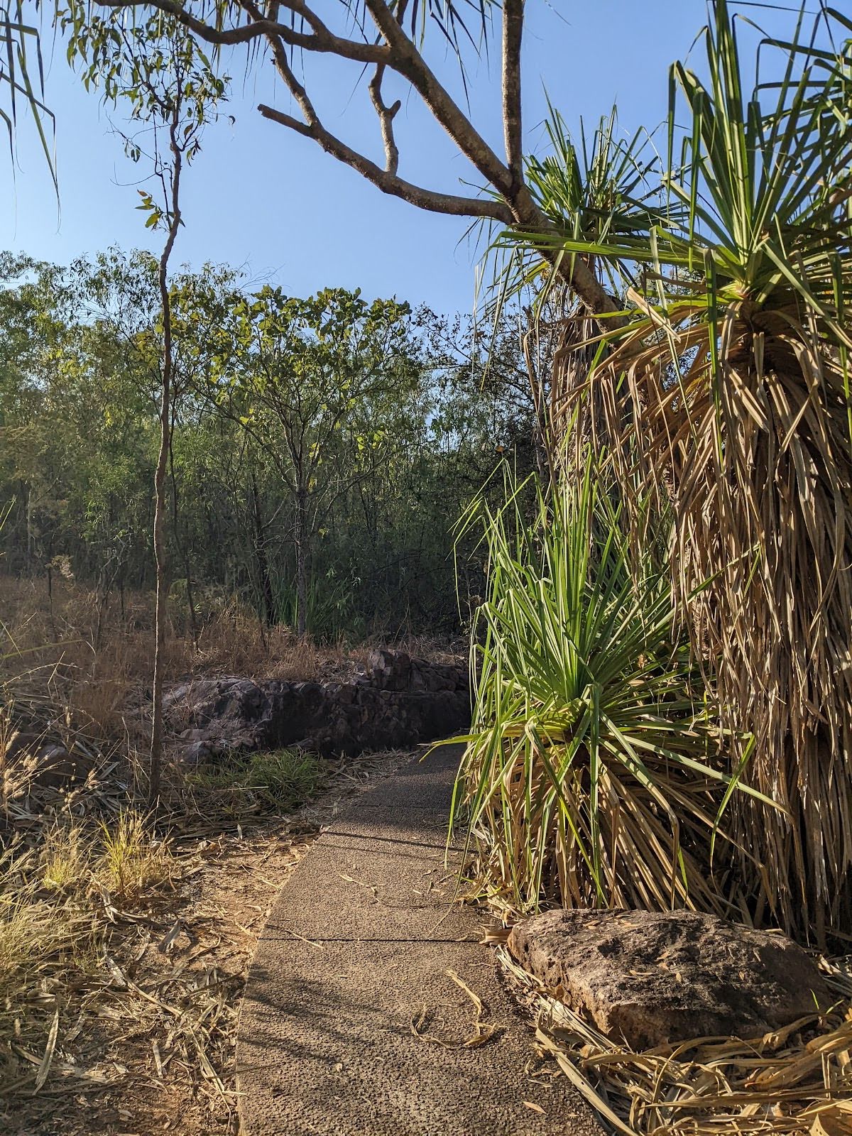
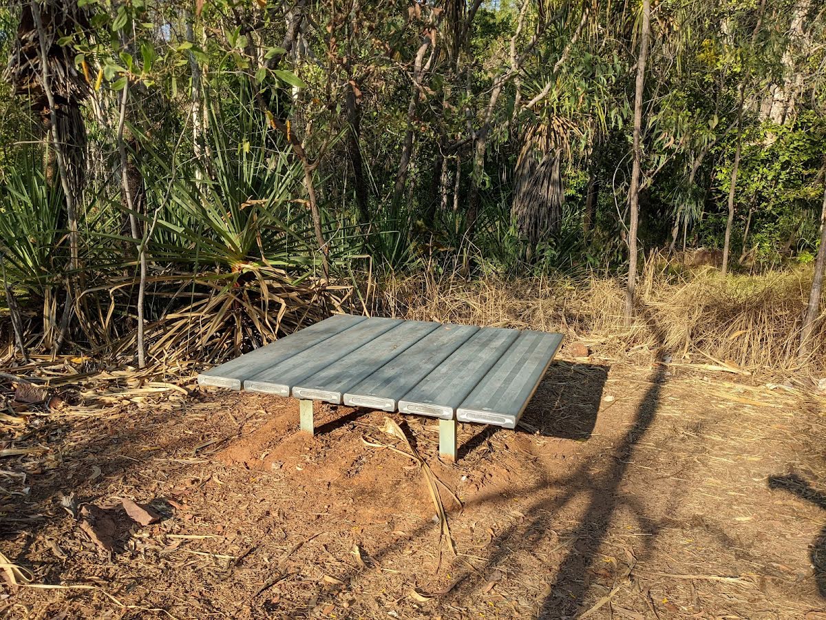
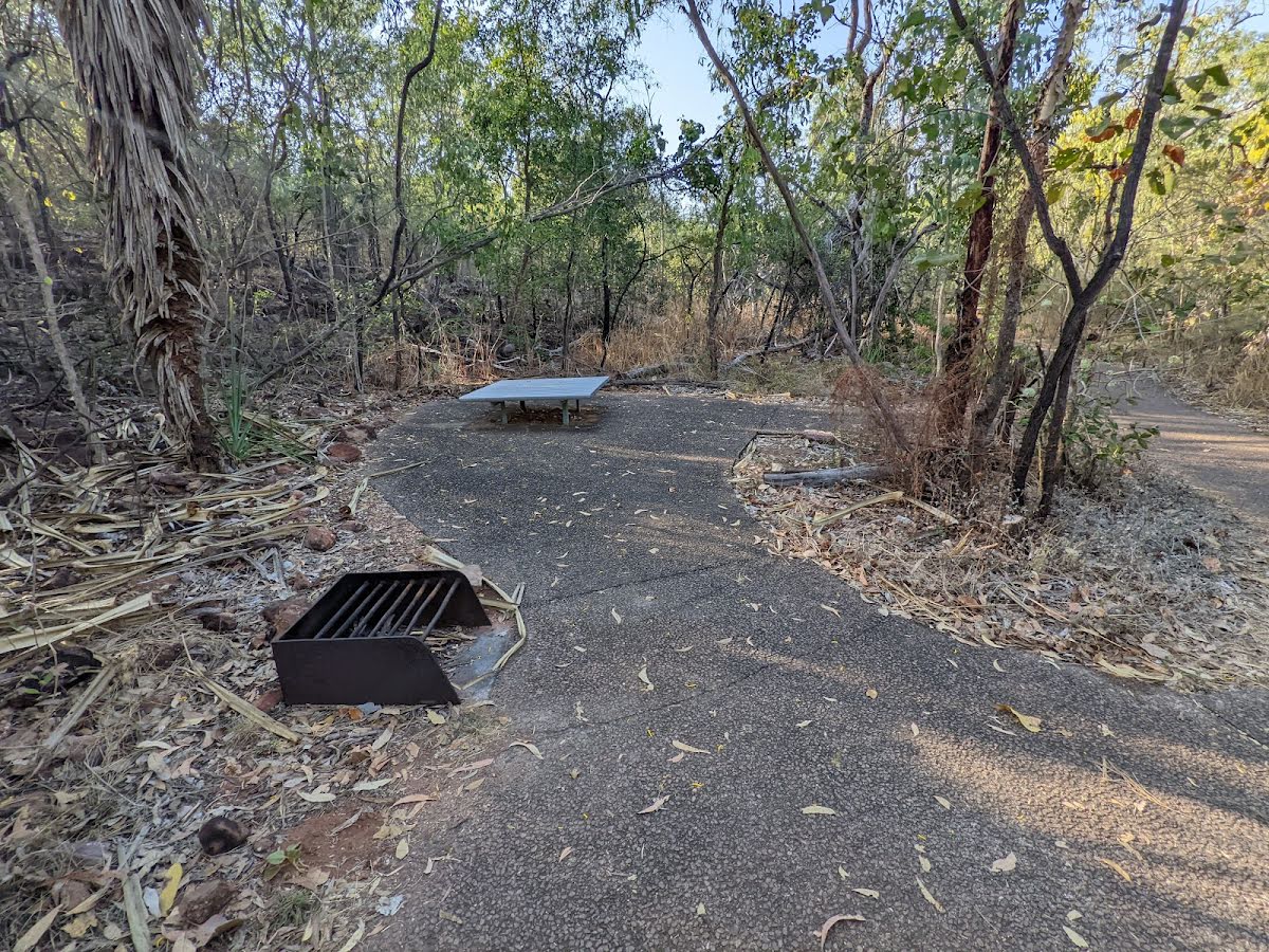
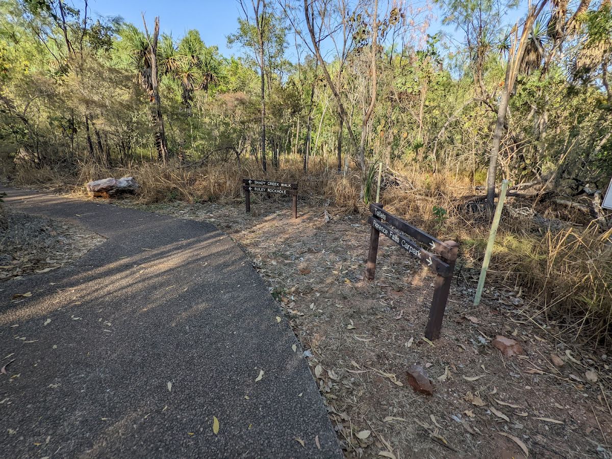
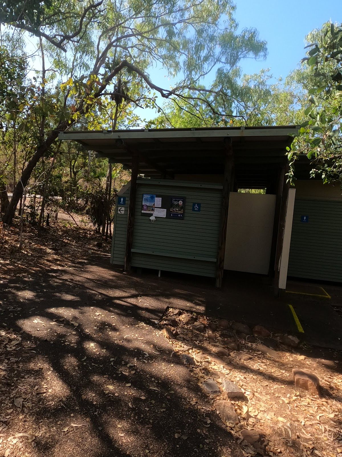
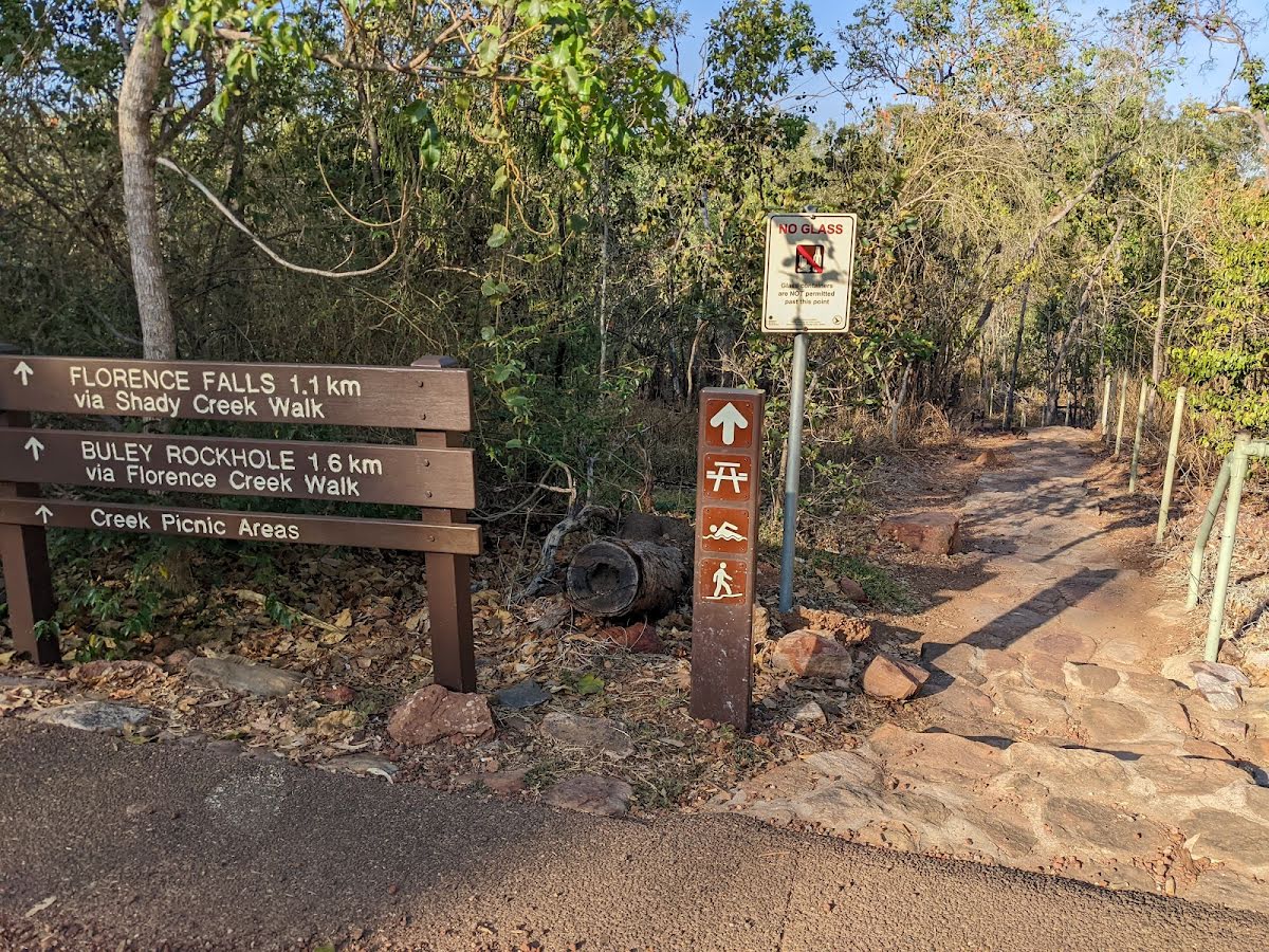
Starting from the Florence Falls Carpark, Litchfield Park, this hike takes you on a circuit around the Florence Falls via the Florence Creek Walk and the Shady Creek Walk tracks. A set of strong plunge waterfalls gushing down into a deep, lovely swimming hole. Set amidst a monsoon forest, the waterfalls provide a peculiar sense of tranquillity as you make your way around them. Enjoy the refreshing waters of Florence Creek and take in the scenery from the lookout nearby. The track is well-maintained and features a couple of bridges. The area is quite popular, so you may want to come earlier to avoid the crowd and even have the pool to yourself if lucky. Let us begin by acknowledging the Traditional Custodians of the land on which we travel today, and pay our respects to their Elders past and present.
Show all
Photo by admin, 2022.
Downloads GPX PDF

+
-
Safer Bushwalks
Tips on staying safe on track
Before you start any bushwalk ensure you;
• Tell someone you trust where you are going and what to do if you are overdue
• Have adequate equipment, supplies, skills & knowledge for the whole journey
• Consider the impact of weather forecasts, park/track closures & fire dangers
• Can respond to emergencies & call for help at any point
• Are healthy and fit enough for this journey
If not, change plans and stay safe. It is okay to delay and ask people for help.
+
-
Getting There
Transport options and directions
Start From the Florence Creek Walk (-13.0995305,130.7843442)
Mode Car
DirectionsFrom Stuart Highway, Albany Park.
  • Turn on to Crater Lake Road then drive for 4.3 km
  • Turn left onto Batchelor Road and drive for another 6.2 km
  • At roundabout, take exit 2 and drive for another 6.6 km
  • Turn left onto Litchfield Park Road and drive for another 35.2 km
  • Turn right and drive for another 4.6 km
+
-
Track Notes
Turn by turn instructions & maps
Getting started
From the Florence Falls Carpark, head towards the brown “Florence Falls Lookout - Florence Falls Plunge Pool” sign along the road. Join the paved walking track following the said signage and stay on the track as it veers right in the distance to continue along Florence Falls Circuit(counterclockwise).....
Turn map Directions & comments
From the Florence Creek Walk Start heading along Florence Creek Walk (a footpath).
After another 20 m (from the Florence Creek Walk) continue straight, to head along Florence Creek Walk.
After another 90 m pass the "Florence Falls" (45 m on your left).
After another 35 m come to the viewpoint (9 m on your left).
From the Florence Creek Walk veer right, to head along Florence Creek Walk.
After another 85 m (from the Florence Creek Walk) veer left, to head along Florence Creek Walk.
After another 30 m head down the steps (about 85 m long)
Then head down the steps (about 20 m long)
After another 9 m (from the Florence Creek Walk) veer left, to head along Florence Creek Walk.
Then cross the bridge (about 6 m long)
After another 60 m come to the "Florence Falls" (about 25 m ahead).
The starting point of an optional sidetrip. This little side trip takes you to the plunge pool where you can enjoy the refreshing waters of Florence Creek. To start this optional side trip veer left here. On returning from this side trip continue straight when you get back to this intersection. Details below.
From the Shady Creek Walk turn sharp right, to head along Shady Creek Walk.
After another 190 m cross the bridge (about 4 m long)
After another 95 m cross the ford.
From the Shady Creek Walk continue straight, to head along Shady Creek Walk.
After another 145 m (at the intersection of Shady Creek Walk & Florence Falls Link Track (to Tabletop)) veer left, to head along Shady Creek Walk.
After another 10 m cross the ford.
From the Shady Creek Walk continue straight, to head along Shady Creek Walk.
After another 130 m cross the ford.
From the Shady Creek Walk continue straight, to head along Shady Creek Walk.
After another 320 m pass the car park (70 m on your right).
Then cross the ford.
At the intersection of Shady Creek Walk & Florence Creek veer right, to head along Shady Creek Walk.
After another 30 m (at the intersection of Florence Creek Walk & Shady Creek Walk) turn left, to head along Florence Creek Walk.
After another 125 m come to a toilet.
From the Florence Creek Walk turn left, to head along Florence Creek Walk.
After another 15 m (from the Florence Creek Walk) turn right (a walking track).
After another 7 m pass the emergency call device (5 m on your left).
After another 5 m come to the end.

This little side trip takes you to the plunge pool where you can enjoy the refreshing waters of Florence Creek.
Turn map Directions & comments
From the Shady Creek Walk Start (a footpath).
After 40 m come to the "Florence Falls".
Then head down the steps (about 4 m long)
About 35 m past the end is "Florence Falls".
About 35 m past the end is a viewpoint.
The end.
Turn around and retrace your steps back the 45 m to the main route.
+
-
Terrain
Know the Hills, grading & facilities

Florence Falls Circuit


Grading
Class 2/6
Easy track
Length 1.4 km
Time 20 min to 40 min
Quality of track Smooth and hardened path (1/6)
Gradient Gentle hills with occasional steps (2/6)
Signage Clearly signposted (2/6)
Infrastructure Generally useful facilities (such as fenced cliffs and seats) (1/6)
Experience Required No experience required (1/6)
Weather Weather generally has little impact on safety (2/6)

Some facilities on route
Toilet: There is one 1.5 km from the start.


Order of key facilities on route
ItemFrom StartName & link to notes
Toilet
1.5 km[toilet]
+
-
Articles
Discover more details to thrive on track
+
-
Reviews & Feedback
Share your experience
+
-
Weather & Alerts
Check forecasts & closures
Show Full Weather
Alerts and Closures
Show all alerts
Show all alerts
Show all alerts
+
-
Other Journeys
Discover nearby and similar journeys
Some of the information and maps on this page was generated using data from the awesome © OpenStreetMap contributors.
Please see how you can embed some widgets, access data and other stuff to that might be helpful.