Wareemba Ave to Thornleigh Station

3 h 15 min to 3 h 45 min

8.6 km
oneway

↑ 367 m
↓ -301 m

Hard track
This pleasant half day walk starts from Wareemba Avenue in Thornleigh and winds down into the valley along service trails and bush tracks. The walk then follows a section of the Blue Gum Walk to the Great North Walk. From here the walk follows the Great North Walk to Thornleigh train station. Along this walk you will see a dense and thriving forest filled with Blue Gums and Bracken Ferns, plenty of wild flowers and a wide variety of native animals. Let us begin by acknowledging the Traditional Custodians of the land on which we travel today, and pay our respects to their Elders past and present.
Show all
view of a Waitara Creek branch. | Photo by admin, 2008.
down from Wareemba Avenue. | Photo by admin, 2008.
following the creek. | Photo by admin, 2008.
thick forest surrounds the track. | Photo by admin, 2008.
moss covered rock. | Photo by admin, 2008.
changes in environment. | Photo by admin, 2007.
Bushland in the Berowra Valley. | Photo by admin, 2007.
climbing up the valley. | Photo by admin, 2008.
crossing a bridged creek. | Photo by admin, 2008.
fenced off cliffs. | Photo by admin, 2008.
crossing the creek. | Photo by admin, 2008.
The Jungo. | Photo by admin, 2007.
Rock formations near The Jungo. | Photo by admin, 2007.
Wandering through the bush. | Photo by admin, 2007.
Downloads GPX PDF

+
-
Safer Bushwalks
Tips on staying safe on track
Before you start any bushwalk ensure you;
• Tell someone you trust where you are going and what to do if you are overdue
• Have adequate equipment, supplies, skills & knowledge for the whole journey
• Consider the impact of weather forecasts, park/track closures & fire dangers
• Can respond to emergencies & call for help at any point
• Are healthy and fit enough for this journey
If not, change plans and stay safe. It is okay to delay and ask people for help.
+
-
Getting There
Transport options and directions
Start (-33.7097534,151.0806154)
Mode Bus Car (There is free parking available.)
DirectionsFrom Duffy Avenue
  • Turn on to Chilvers Road then drive for 390 m
  • Turn right onto Sefton Road and drive for another 35 m
  • Turn left onto Larool Crescent and drive for another 245 m
  • Turn right onto Wareemba Avenue and drive for another 1.2 km
Finish (-33.7319587,151.0783407)
Mode (end) Car Shuttle   Bus   Car   (There is free parking available.) Train  
+
-
Track Notes
Turn by turn instructions & maps
Getting started
From the small bridge on Wareemba Ave, just down the hill from Vale Rd, this walk follows the management trail around the green gate, past the large fern tree, and crosses Larool Creek at the concrete causeway. On the other side of the creek, the track soon comes to an intersection with a less-used management trail, on the right.
From the intersection, the walk follows the clear management trail up the hill, away from the houses. The trail passes through a pine and acacia forest before coming to an intersection with an indistinct track on the left - this is just after the end of the flat section of track.
From the intersection, the walk follows the management trail down the fairly steep hill to an intersection at the causeway over the creek.
From the intersection, the walk crosses Larool Creek using the concrete causeway and follows the management trail along the rock face. The track heads down the hill with the occasional view of the creek (below on the left) and soon passes a concrete column supporting the rock on the right. The tracks passes a few round concrete pipe covers and then comes to an indistinct intersection, where there are two round pipe covers, an electrical junction box and a pipe bridge crossing the creek on the left.....
Turn map Directions & comments
Start.
Find the gate at the start.
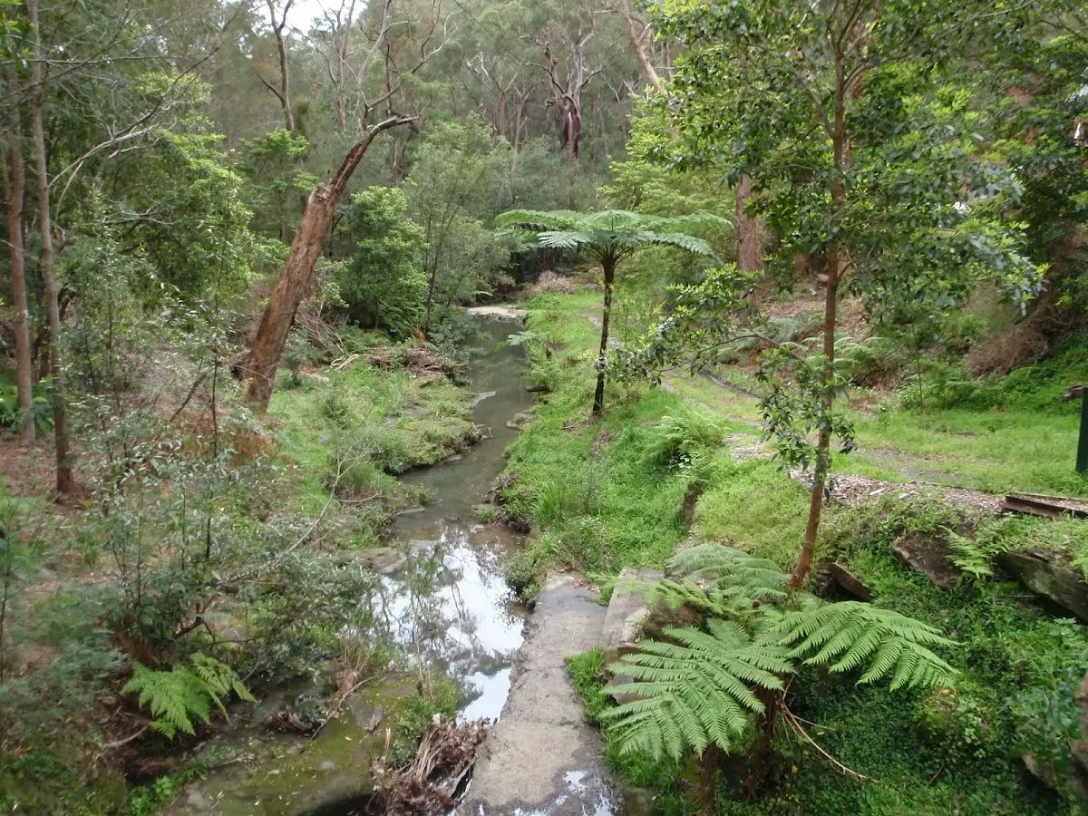
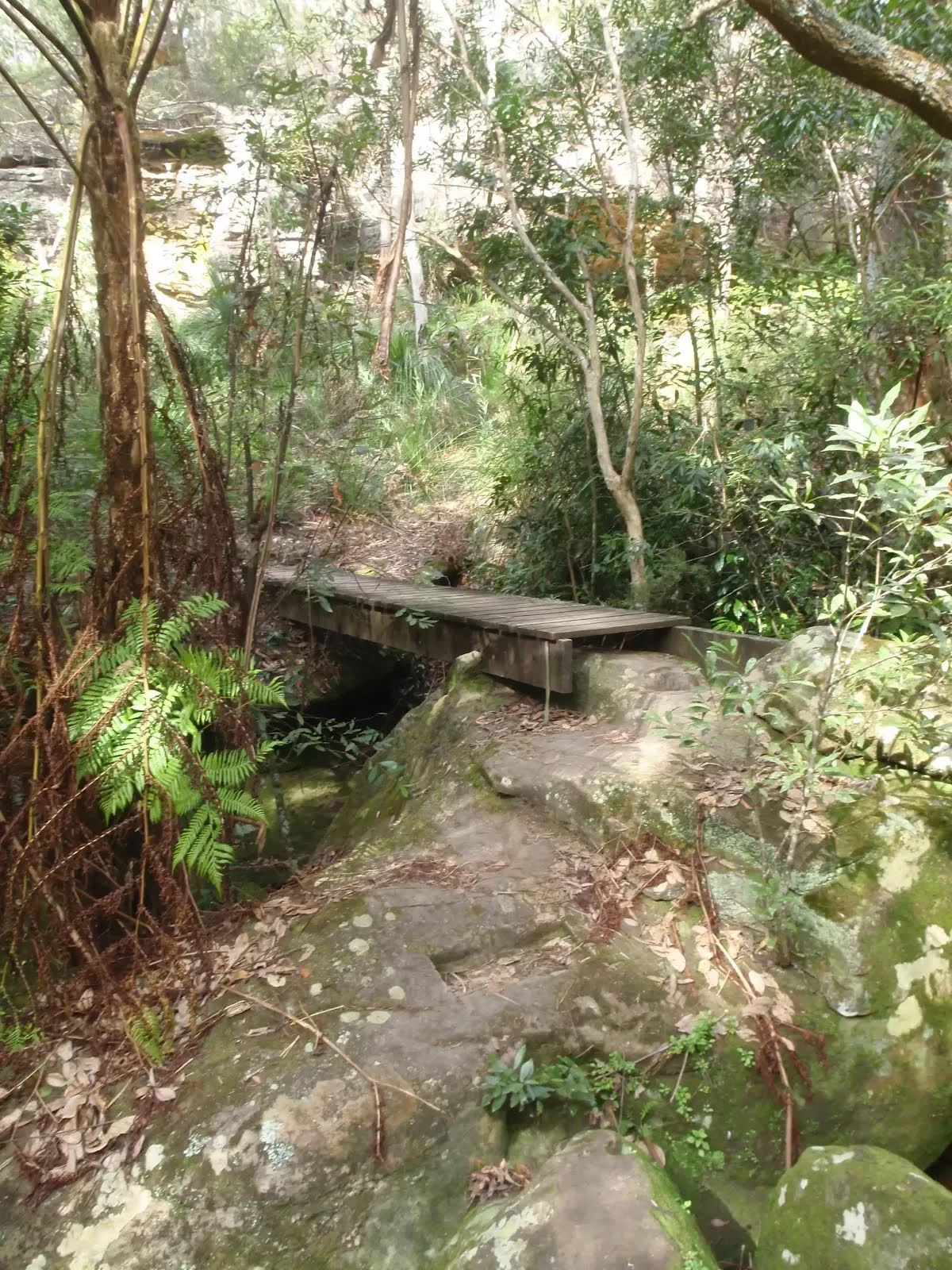
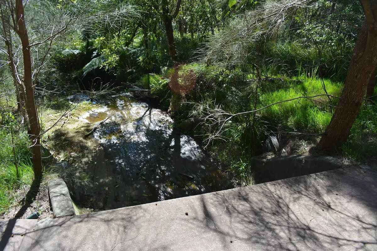
After 65 m cross the ford.
After another 10 m continue straight.
After another 175 m pass the "Dog Pound Creek Conservation Reserve" (8 m on your left).
After another 55 m (at the intersection of Westleigh Hornsby Link Track & Dog Pound Creek Firetrail) turn right, to head along Westleigh Hornsby Link Track (a vehicle track).
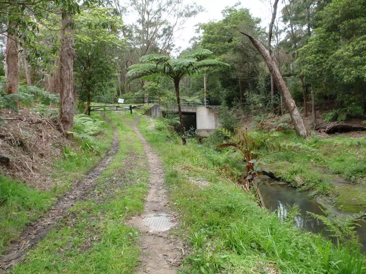
After another 9 m cross the ford.
After another 120 m continue straight.
After another 35 m cross the ford.
After another 235 m turn sharp left.
After another 45 m head into the "Dog Pound Creek Conservation Reserve".
After another 140 m continue straight, to head along Ginger Meggs Trail.
After another 90 m (at the intersection of Blue Gum Walk & Ginger Meggs Trail) turn right, to head along Blue Gum Walk (a steps).
Then head up the 16 earthen steps (about 3 m long)
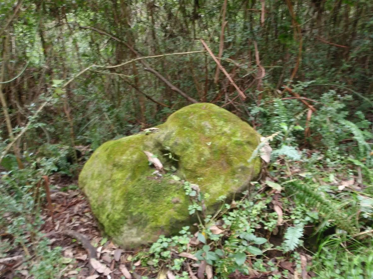
After another 295 m head into the "Dog Pound Creek Conservation Reserve".
The Jungo
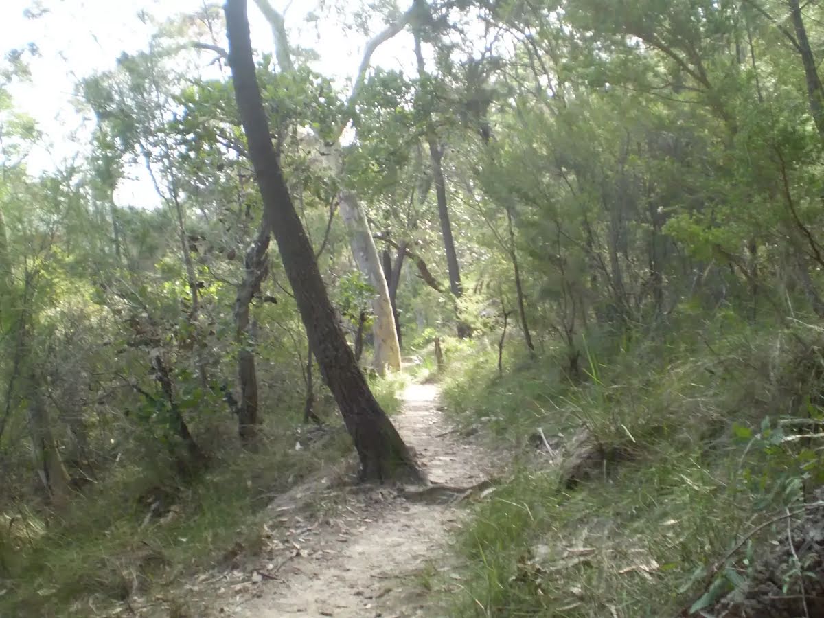
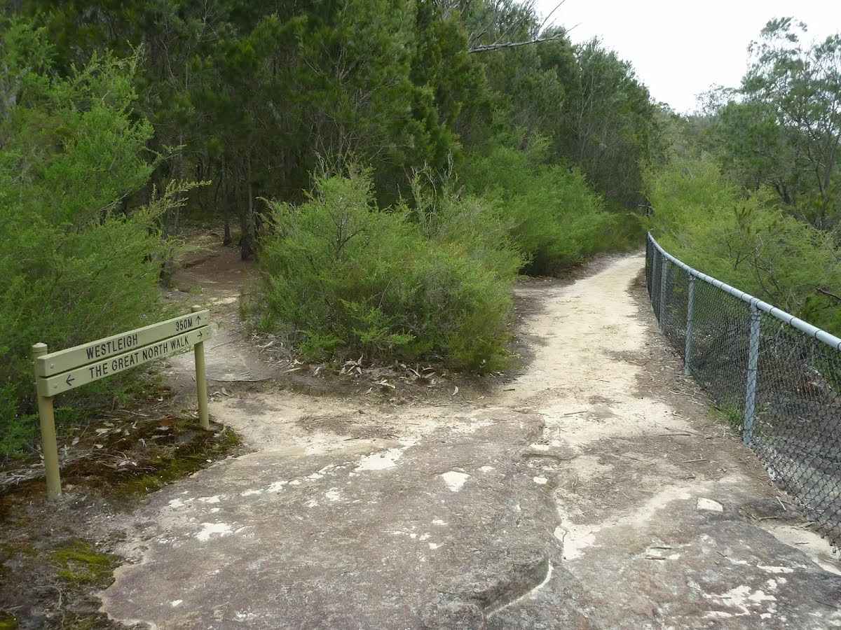
After another 510 m (at the intersection of Blue Gum Walk & The Great North Walk) by following the "The Jungo" sign turn sharp left, to head along The Great North Walk.
After another 25 m pass the sign (on your right).
After another 50 m (at the intersection of The Great North Walk & Track) continue straight, to head along The Great North Walk.
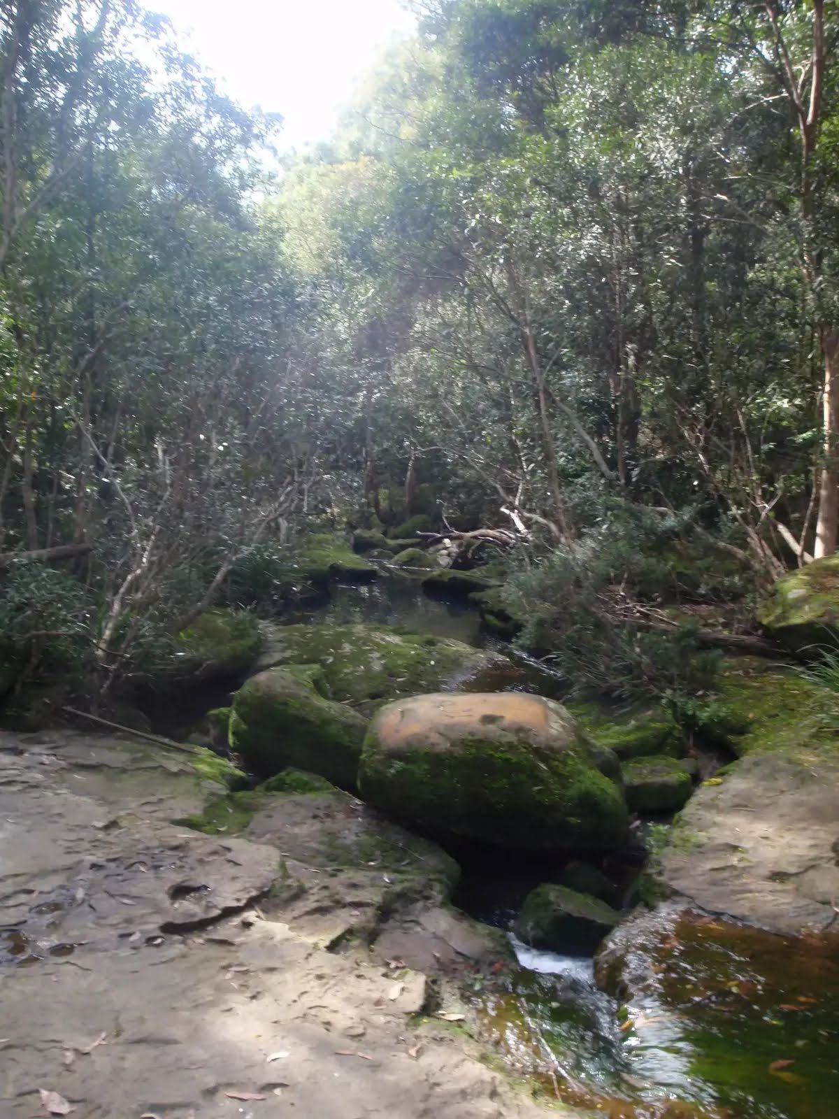
After another 115 m cross the ford.
After another 500 m continue straight, to head along The Great North Walk.
After another 8 m pass the "Great North Walk" (on your right).
After another 35 m head down the 6 earthen steps (about 3 m long)
After another 100 m cross the ford.
After another 100 m cross the bridge (about 4 m long)
After another 400 m continue straight, to head along The Great North Walk.
After another 480 m cross the ford.
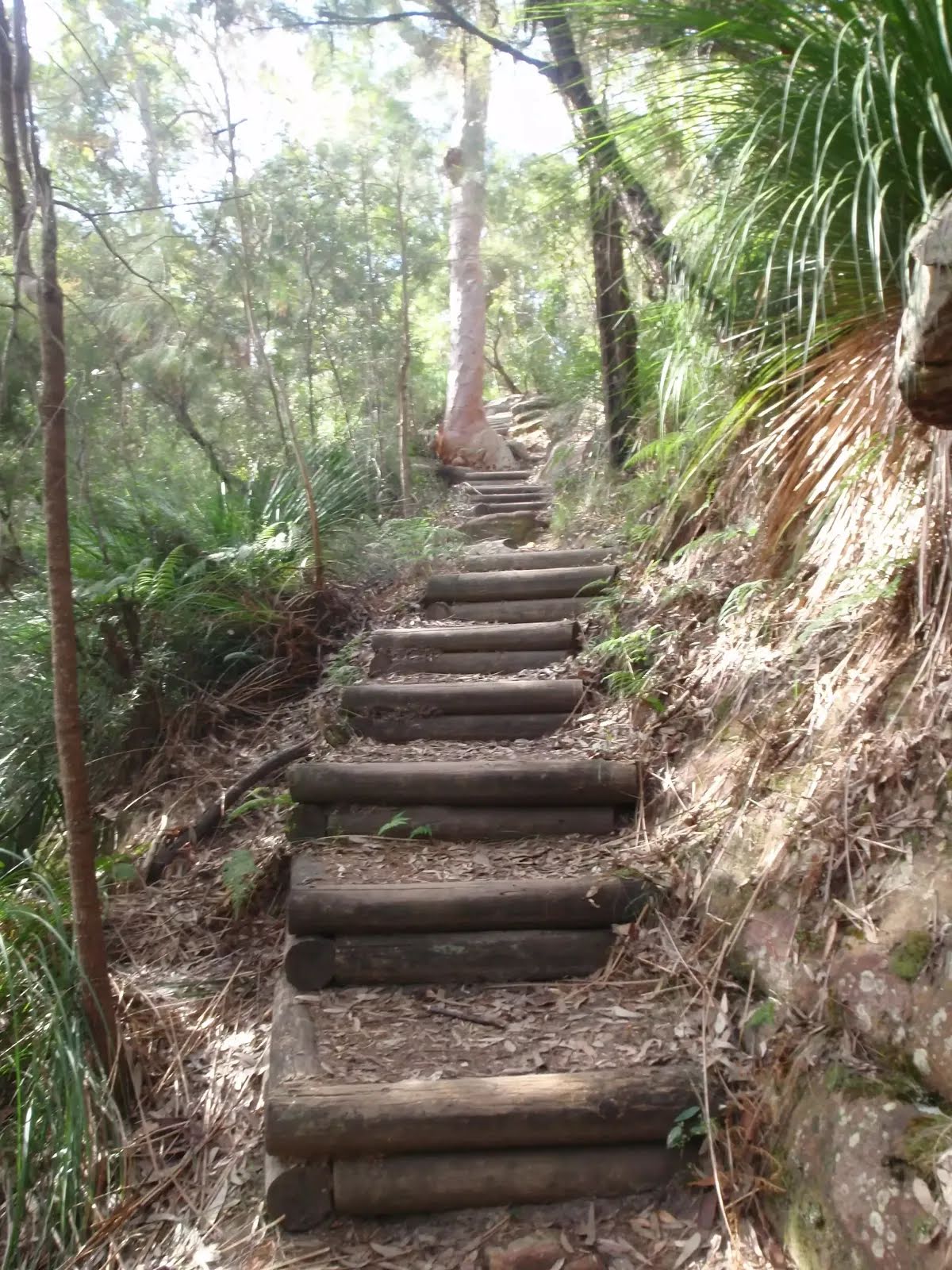
After another 115 m head down the 31 earthen steps (about 35 m long)
After another 125 m (at the intersection of The Great North Walk & Track) continue straight, to head along The Great North Walk.
After another 25 m cross the bridge
Then cross the bridge
After another 60 m head down the 8 earthen steps (about 4 m long)
Then cross the bridge (about 4 m long)
After another 2 m (at the intersection of The Great North Walk & Rough Very Steep Track) continue straight, to head along The Great North Walk.
After another 115 m cross the bridge (about 6 m long)
After another 10 m cross the ford.
After another 480 m pass the "The Great North Walk" (5 m on your right).
After another 35 m pass the "The Great North Walk" (5 m on your right).
After another 20 m (at the intersection of The Great North Walk & Great North Walk access) continue straight, to head along The Great North Walk.
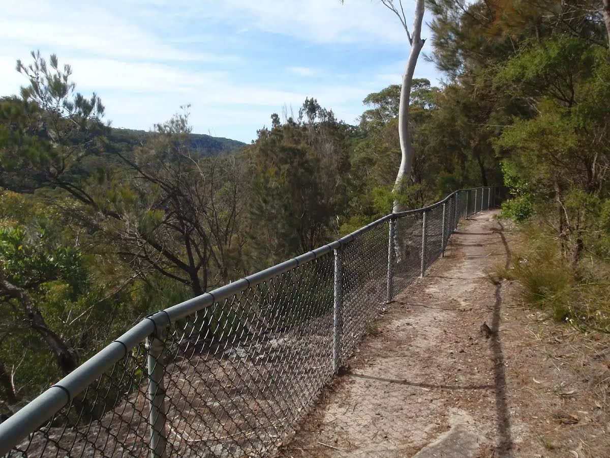
After another 45 m find the "Elouera Lookout" (7 m on your right).
Elouera Lookout
Elouera Lookout

This fenced lookout is on the Benowie Track close to Westleigh. There are uninterrupted views from the clifftop across the Berowra Creek valley, which is rare for the area. As well as being on the Great North Walk, this lookout can be accessed by a short walk from Elouera Rd, Westleigh. This section of fenced rock platform is about 100m long, and there is some limited shade from the casuarina near the lookout if you want to take a rest.
+
-
This fenced lookout is on the Benowie Track close to Westleigh. There are uninterrupted views from the clifftop across the Berowra Creek valley, which is rare for the area. As well as being on the Great North Walk, this lookout can be accessed by a short walk from Elouera Rd, Westleigh. This section of fenced rock platform is about 100m long, and there is some limited shade from the casuarina near the lookout if you want to take a rest.

After another 440 m cross the ford.
After another 220 m cross the bridge (about 3 m long)
After another 205 m continue straight, to head along The Great North Walk.
After another 30 m pass the "The Great North Walk" (8 m on your left).
Then cross the ford.
After another 75 m (at the intersection of Schofield Firetrail & The Great North Walk) veer left, to head along Schofield Firetrail (a vehicle track).
After another 105 m cross the ford.
At the intersection of Schofield Firetrail & The Great North Walk turn left, to head along The Great North Walk (a walking track).
After another 20 m find the "The Jungo" (7 m on your right).
The Jungo
The Jungo

The Jungo is a relatively small clearing and campsite near the junction of Berowra and ZigZag Creeks at a well signposted intersection. There is often water in the creeks (treat well before drinking) but there are no facilities. Speculation on the source of the name 'Jungo' includes the Aussie tendency to abbreviate words ('Junction' gets corrupted to 'jung-o' etc) as well as a possible derivation from one of a few similar sounding aboriginal words.
+
-
The Jungo is a relatively small clearing and campsite near the junction of Berowra and ZigZag Creeks at a well signposted intersection. There is often water in the creeks (treat well before drinking) but there are no facilities. Speculation on the source of the name 'Jungo' includes the Aussie tendency to abbreviate words ('Junction' gets corrupted to 'jung-o' etc) as well as a possible derivation from one of a few similar sounding aboriginal words.

After another 530 m cross the ford.
After another 60 m cross the ford.
After another 130 m cross the bridge (about 7 m long)
After another 680 m (at the intersection of Timbarra Road - Bellamy Street Cycleway & The Great North Walk) turn right, to head along Timbarra Road - Bellamy Street Cycleway.
After another 10 m pass the sign (on your right).
After another 50 m find the "Thornleigh zigzag railway" (10 m on your left).
Thornleigh zigzag railway

The Thornleigh zigzag railway originally ran from the main rail line near Thornleigh to a historic quarry, near present day De Saxe Cl, Thornleigh. There are only minor fragments still visible today. The 'Heritage Trail' in Thornleigh has interpretive signs for the railway and the old Thornleigh Quarry. A book is available with some detail on railway and associated quarry: 'Sydney's Forgotten Quarry Railways' by John Oakes, ISBN 0 9757870 3 9
+
-
The Thornleigh zigzag railway originally ran from the main rail line near Thornleigh to a historic quarry, near present day De Saxe Cl, Thornleigh. There are only minor fragments still visible today. The 'Heritage Trail' in Thornleigh has interpretive signs for the railway and the old Thornleigh Quarry. A book is available with some detail on railway and associated quarry: 'Sydney's Forgotten Quarry Railways' by John Oakes, ISBN 0 9757870 3 9

After another 50 m cross the bridge (about 7 m long)
Sydney Cove
After another 9 m (at the intersection of Timbarra Road - Bellamy Street Cycleway & The Great North Walk) by following the "Sydney Cove" sign veer left, to head along The Great North Walk.
Then find the "Trip Hazard" (on your left).
Trip Hazard
Trip Hazard

Unfenced and unmarked edge with potential 80cm or higher fall into the creek. Keep clear of the culverts edge when crossing.
+
-
Unfenced and unmarked edge with potential 80cm or higher fall into the creek. Keep clear of the culverts edge when crossing.

After another 40 m pass the sign (on your right).
After another 35 m cross the bridge (about 3 m long)
After another 160 m pass the "The Great North Walk" (on your right).
At the intersection of Morgan Street & The Great North Walk turn left, to head along Morgan Street (a residential road).
After another 145 m continue straight, to head along Morgan Street.
After another 15 m (at the intersection of Morgan Street & Dale Close) continue straight, to head along Morgan Street.
After another 120 m (at the intersection of Tillock Street & Morgan Street) continue straight (a footpath).
After another 270 m pass the "The Great North Walk" (5 m on your left).
Continue straight.
After another 380 m pass the "The Great North Walk" (on your left).
Continue straight.
After another 190 m continue straight.
After another 15 m turn right.
After another 25 m veer left.
Then pass the "The Great North Walk" (on your left).
About 90 m past the end is a car park.
Then cross the bridge (about 45 m long)
Then head up the 29 concrete steps (about 10 m long)
Then pass the "The Great North Walk" (on your right).
After another 15 m pass the "The Great North Walk" (on your right).
Then cross the bridge (about 30 m long)
Then pass a seat (on your left)., has a backrest.
After another 20 m cross the bridge (about 10 m long)
Then head down the 29 concrete steps (about 10 m long)
About 15 m past the end is "The Great North Walk".
A toilet., female.
A pay phone.
The end.
A toilet., male.
About 55 m past the end is "Zacs Great Food".
Zacs Great Food
Zacs Great Food

This restaurant can be found on Pennont Hills road just a stones throw from the station. They are open for breakfast, lunch and dinner with a continental menu ranging from about $20. for a meal. The opening hours are from 6.oo am to 10.00 pm from Tuesdays to Saterdays, and closed Sundays and Mondays. For more information on bookings call (02) 9484 6799.
+
-
This restaurant can be found on Pennont Hills road just a stones throw from the station. They are open for breakfast, lunch and dinner with a continental menu ranging from about $20. for a meal. The opening hours are from 6.oo am to 10.00 pm from Tuesdays to Saterdays, and closed Sundays and Mondays. For more information on bookings call (02) 9484 6799.

About 55 m past the end is "Curl and Wisker Cafe".
+
-
Terrain
Know the Hills, grading & facilities

Wareemba Ave to Thornleigh Station


Grading
Class 4/6
Hard track
Length 8.6 km
Time 3 h 15 min to 3 h 45 min
Quality of track Rough track, where fallen trees and other obstacles are likely (4/6)
Gradient Short steep hills (3/6)
Signage Directional signs along the way (3/6)
Infrastructure Limited facilities, not all cliffs are fenced (3/6)
Experience Required Some bushwalking experience recommended (3/6)
Weather Storms may impact on navigation and safety (3/6)

Some facilities on route
Campsite: There is one 5.8 km from the start.

Toilet: There are 2 on route, on average they are 2.9 km apart with the largest gap of 8.6 km.

Seat: There is one 8.5 km from the start.


Order of key facilities on route
ItemFrom StartName & link to notes
Campsite
5.8 kmThe Jungo
Seat
8.5 km[seat]
Toilet
8.6 km[toilet]
Toilet
8.6 km[toilet]
+
-
Articles
Discover more details to thrive on track
+
-
Reviews & Feedback
Share your experience
+
-
Weather & Alerts
Check forecasts & closures
Show Full Weather
Alerts and Closures
Show all alerts
Show all alerts
Show all alerts
+
-
Other Journeys
Discover nearby and similar journeys
Some of the information and maps on this page was generated using data from the awesome © OpenStreetMap contributors.
Please see how you can embed some widgets, access data and other stuff to that might be helpful.