| Turn map |
Directions & comments |
|
|

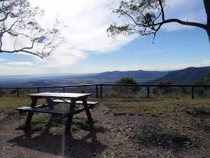
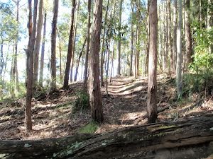
Start.

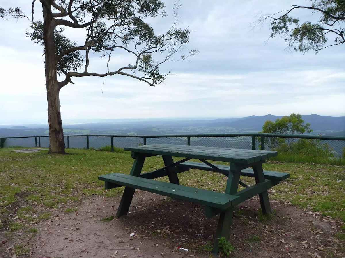
Find the picnic table at the start.

There is a car park (about 20 m back from the start).

After another 35 m head through/around the gate.
|
|
|

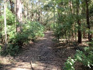
After another 15 m continue straight, to head along Bakers Road.
|
|
|
After another 440 m continue straight, to head along Bakers Road.
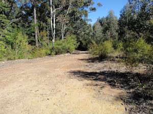
After another 285 m to find the car park.
|
|
|
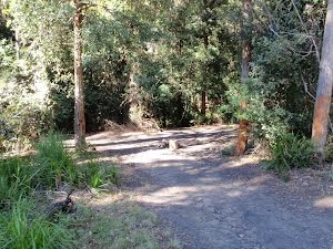
Continue straight, to head along Bakers Road.

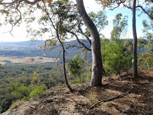
After another 20 m find the "Mcleans Lookout" (45 m on your left).
McLeans Lookout offers magnificent views of the valleys in Heaton State Forest. Located on Bakers Road, this fenced lookout also has picnic facilities including tables with seats and open grassy areas.
Then pass the picnic table (10 m on your left).
|
|
|
After another 40 m continue straight.
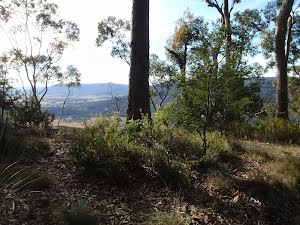
After another 600 m come to the viewpoint (15 m on your left).
At the intersection of Watagan Track & Glen Road continue straight, to head along Watagan Track.
|
|
|

After another 780 m veer right.
|
|
|
After another 320 m veer right, to head along Great North Walk.
|
|
|

After another 410 m (at the intersection of Great North Walk & Hammonds Road) turn right, to head along Hammonds Road (a vehicle track).
|
|
|

After another 400 m (at the intersection of Foresters Road & Hammonds Road) veer left, to head along Hammonds Road.
|
|
|
After another 400 m (at the intersection of Hermitts Road & Hammonds Road) continue straight, to head along Hammonds Road.
|
|
|
After another 195 m (at the intersection of Rockey Point Road & Hammonds Road) turn right, to head along Rockey Point Road.
|
|
|

After another 430 m (at the intersection of Hermitts Road & Rockey Point Road) turn left, to head along Rockey Point Road.

After another 105 m find the "Rocky Creek Campsite" (8 m on your left).
This campsite provides ample room for a few tents and a campfire, and there is a small creek a short distance away, which often provides opportunity to boil up some drinking water (may dry out at times).
|
|
|
After another 430 m (at the intersection of Bakers Road & Rockey Point Road) turn right, to head along Bakers Road.
After another 400 m (at the intersection of Glen Road & Bakers Road) continue straight, to head along Bakers Road.
|
|
|
After another 180 m continue straight.
After another 20 m head through/around the gate.

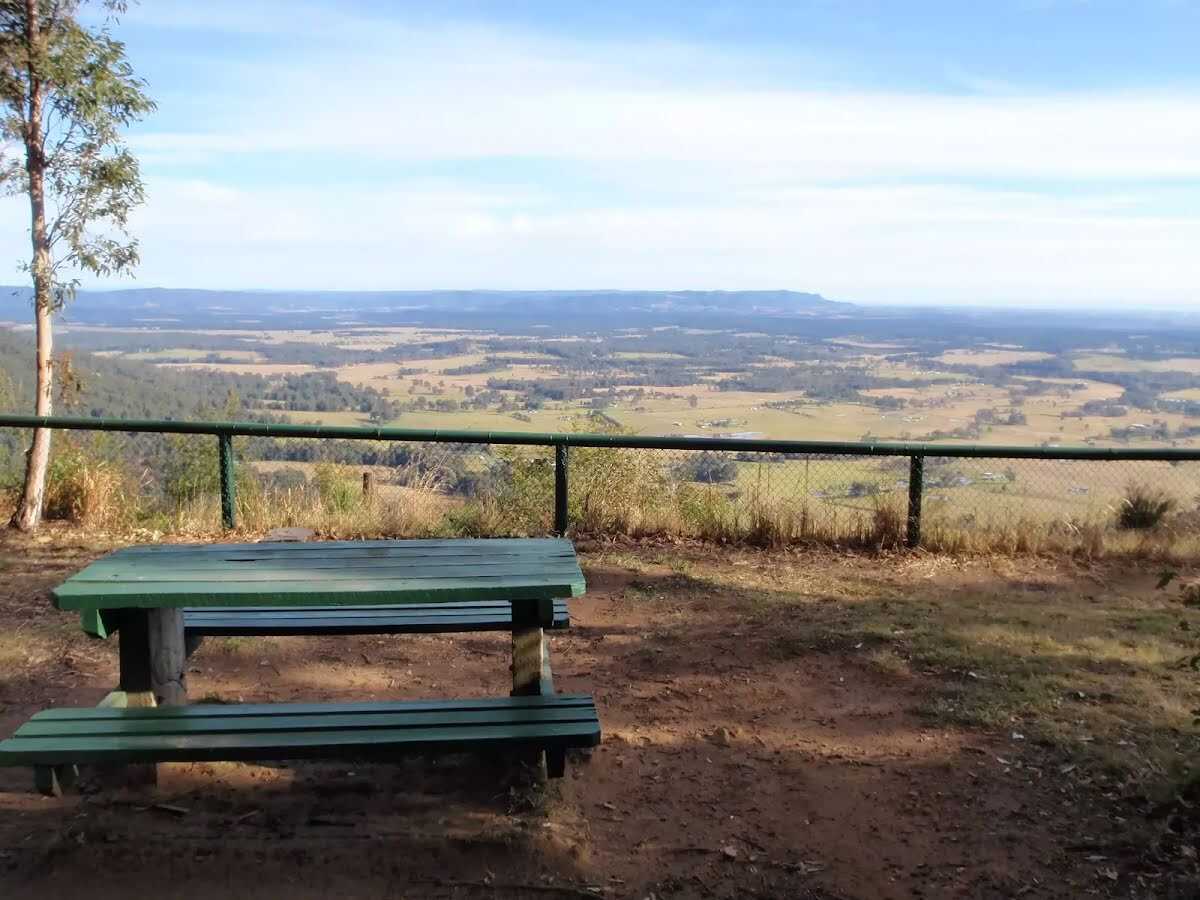
After another 90 m pass the toilet (6 m on your right).
About 10 m past the end is "Hunter Lookout".
Hunter Lookout can be found on Bakers Road, along the Great North Walk. This fenced lookout has everything you will need snack-stop, including toilets, picnic tables, chairs and wood-fired barbecues. This lookout has fantastic views over much of the Hunter region. In 2010, a series of vandalism attacks occurred on the water tank, so water is no longer available at Hunter Lookout.
|
|
|

The end.
|