| Turn map |
Directions & comments |
|
|

Start.

Then to find the car park.

After 35 m pass the sign (10 m on your right).
|
|
|

After another 15 m (at the intersection of Strickland Falls Trail & Cabbage Tree Trail) continue straight, to head along Cabbage Tree Trail.

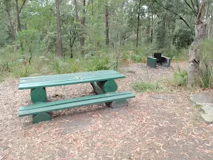
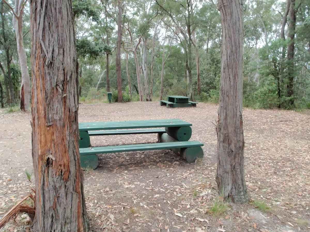
Then find the "Banksia Picnic Area" (8 m on your right).

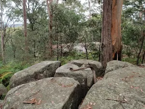
After another 25 m come to the "Gosford Lookout" (20 m on your right).
|
|
|

After another 1.1 km (at the intersection of Cabbage Tree Trail & Stoney Creek Trail) veer left, to head along Stoney Creek Trail.

After another 440 m cross the ford.
|
|
|

After another 490 m (at the intersection of Arboretum Trail & Stoney Creek Trail) turn right, to head along Arboretum Trail.
After another 20 m cross the ford.
|
|
|
After another 420 m (at the intersection of Bellbird Trail & Arboretum Trail) continue straight, to head along Arboretum Trail.

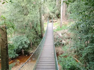
After another 110 m head up the wooden steps (about 3 m long)

Then cross the bridge (about 10 m long)

Then head down the wooden steps (about 3 m long)
|
|
|
After another 15 m (at the intersection of Bellbird Trail & Arboretum Trail) continue straight, to head along Arboretum Trail.

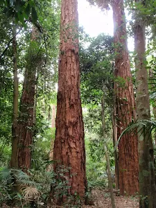
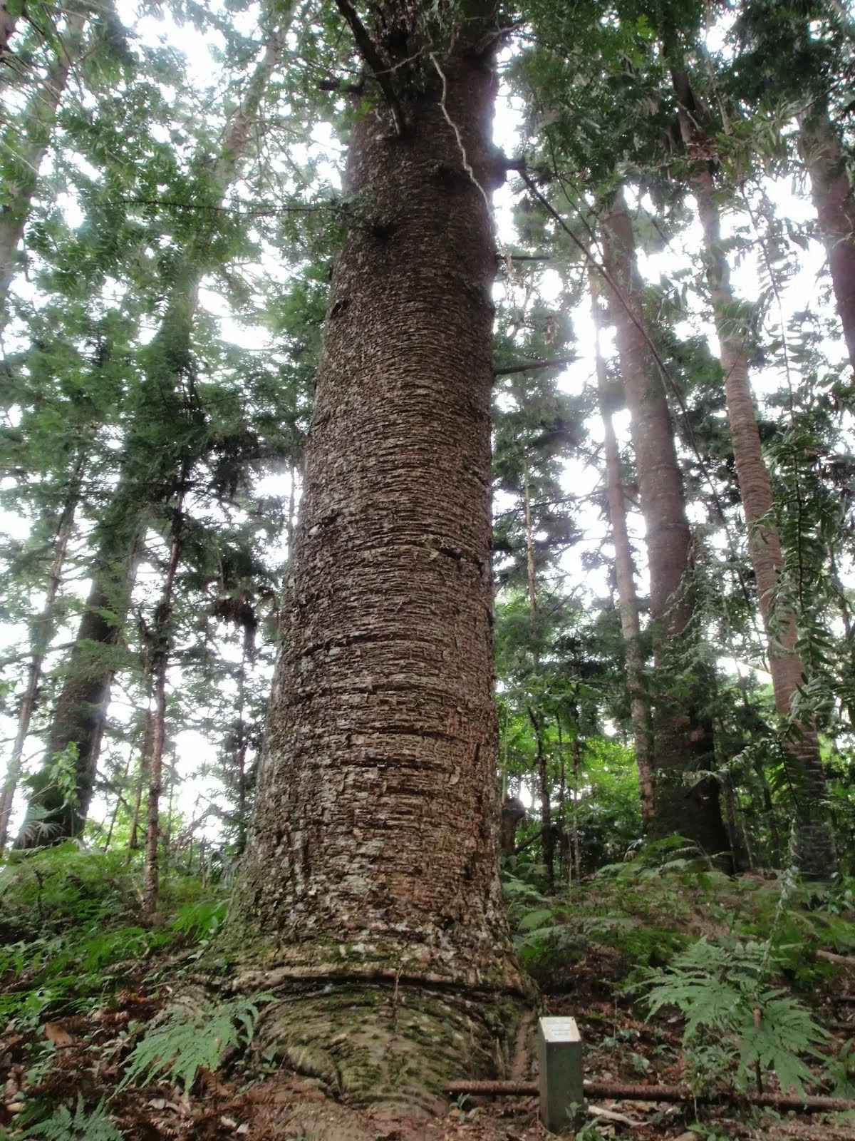
After another 210 m find the "Strickland State Forest Arboretum" (5 m on your left).
|
|
|

After another 325 m veer right.
|
|
|
After another 250 m continue straight.
|
|
|
After another 195 m (from the Bellbird Trail) veer left, to head along Bellbird Trail.
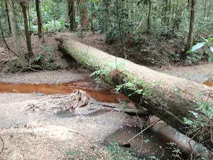
After another 550 m cross the ford.
Then find the "Bellbird Trail Narara crossing" (20 m on your left).
Then find the "Bellbirds" (on your left).
After another 420 m cross the ford.
|
|
|

After another 260 m (at the intersection of Arboretum Trail & Bellbird Trail) turn left, to head along Arboretum Trail.
|
|
|
After another 440 m (at the intersection of Arboretum Trail & Stoney Creek Trail) turn left, to head along Stoney Creek Trail.
|
|
|
After another 940 m (at the intersection of Cabbage Tree Trail & Stoney Creek Trail) turn left, to head along Cabbage Tree Trail.
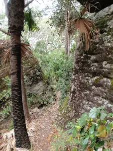
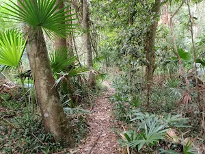
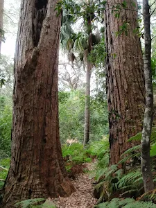
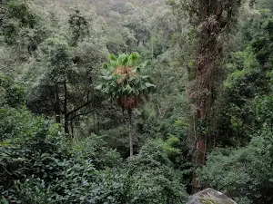
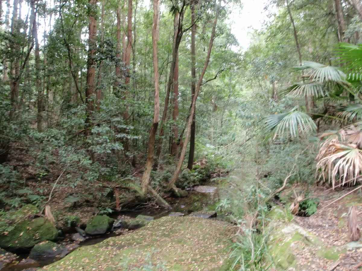
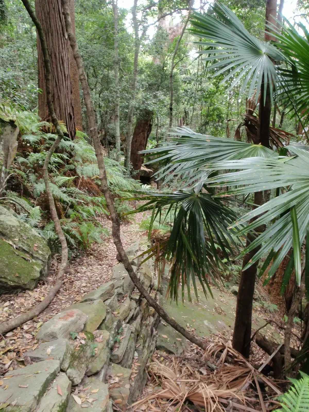
After another 80 m find the "Cabbage-Tree Palm" (30 m on your right).
|
|
|
After another 265 m (at the intersection of Strickland Falls Trail & Cabbage Tree Trail) continue straight, to head along Strickland Falls Trail.
|
|
|

After another 690 m (from the Strickland Falls Trail) turn sharp right, to head along Strickland Falls Trail.

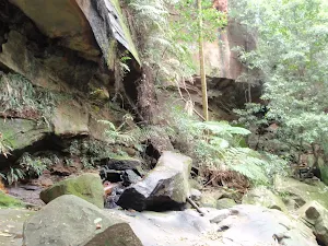
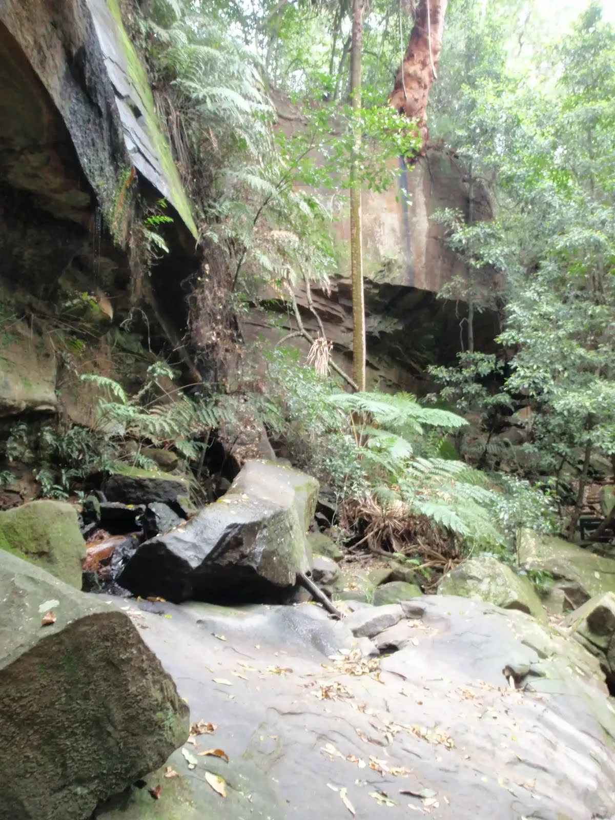
After another 35 m find the "Strickland Falls" (20 m on your left).

After another 760 m pass the shelter (20 m on your left).
After another 25 m pass the car park (30 m on your left).
|
|
|
From the Strickland Falls Trail turn right (a vehicle track).
|
|
|
After another 65 m continue straight.

About 20 m past the end is a toilet. This toilet is wheelchair accessible.
|
|
|

The end.
About 15 m past the end is "Strickland State Forest".
|