Hazard reduction burns: Bantry Bay HRThere is a planned Hazard Reduction burn in this park from 23/10/2024. The fire is called Bantry Bay HR. Refer to the
Rural Fire Service for latest information. Do not enter any closed area or area with fire. If you see an unattended fire call Triple Zero (000).
Penalties apply for non-compliance. For more information about fire safety in parks and reserves, visit the
NSW National Parks fire safety page for park safety guidelines.
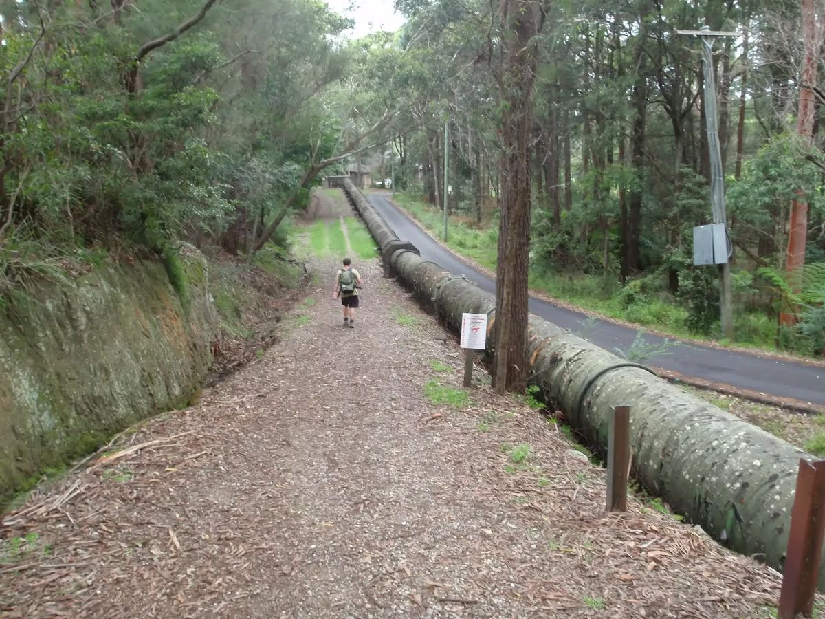
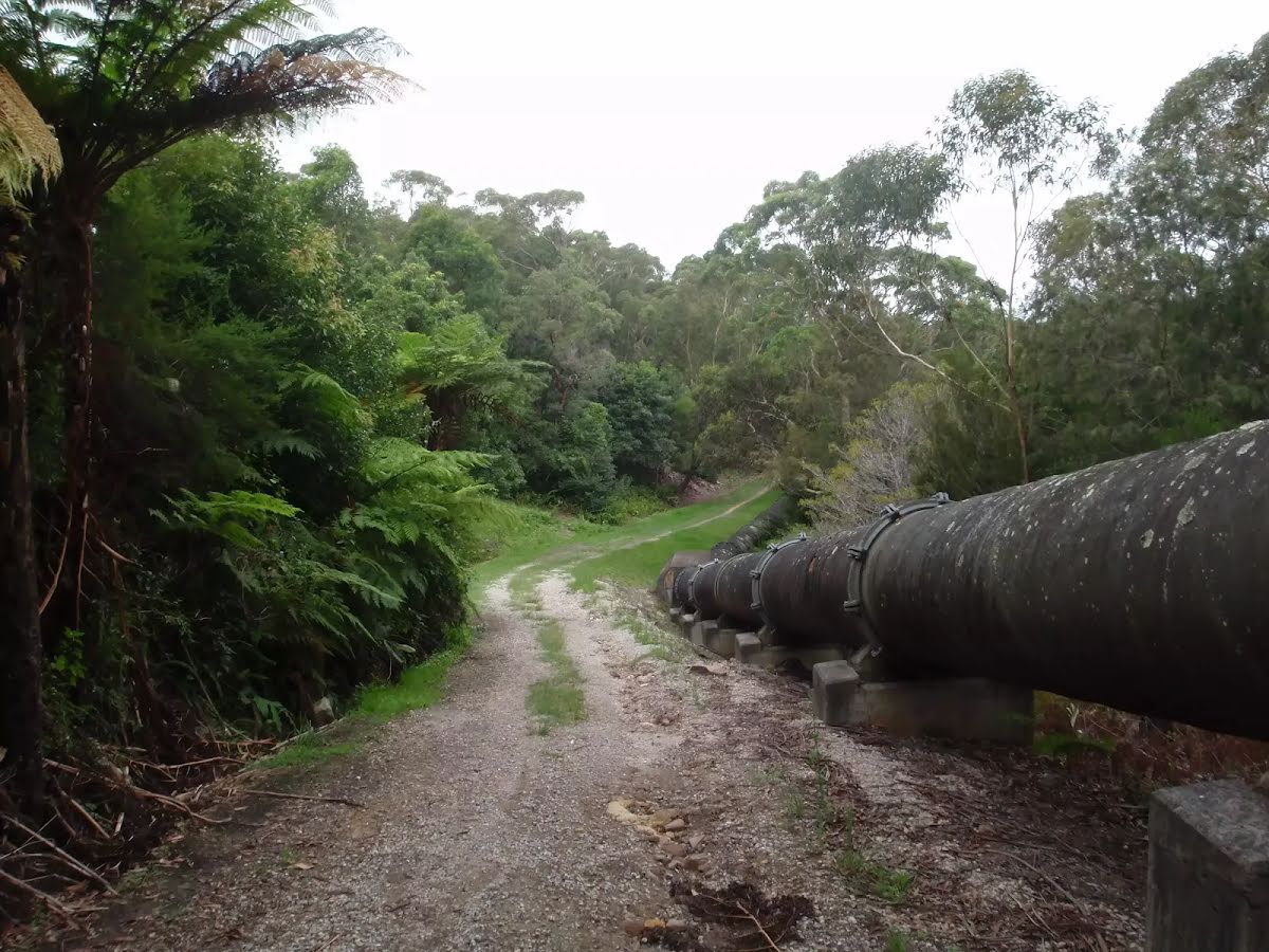
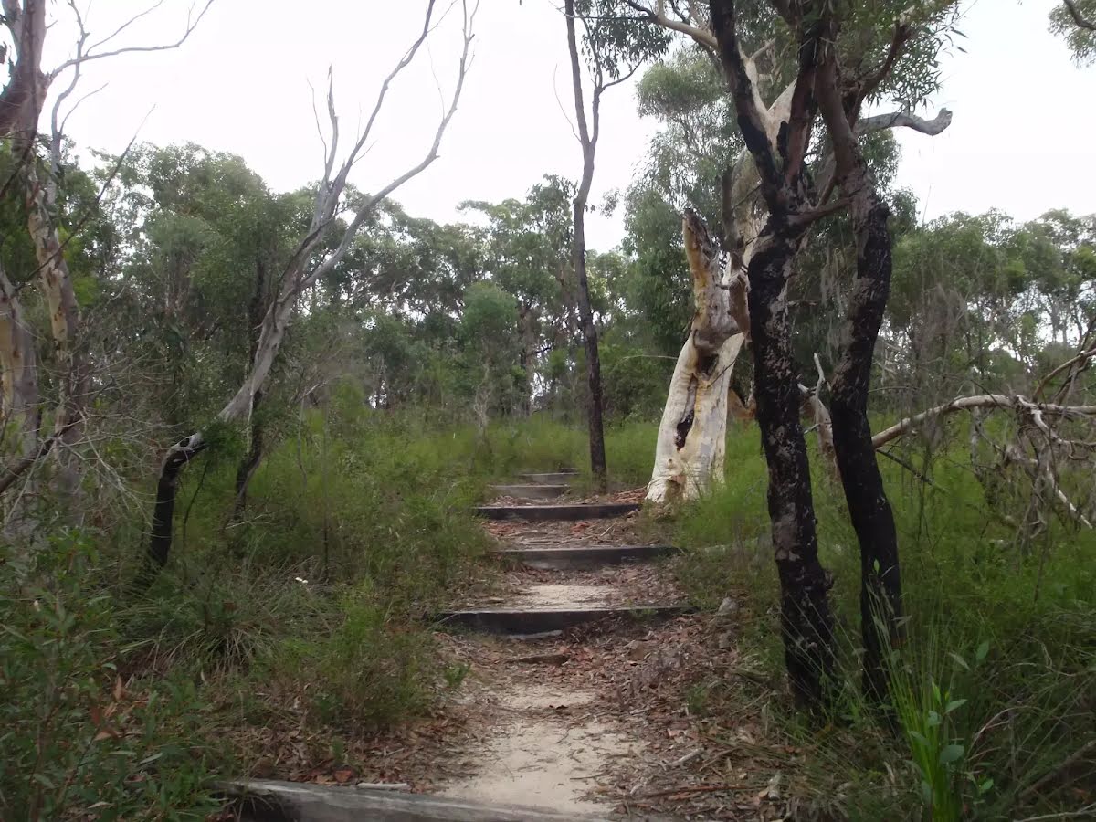
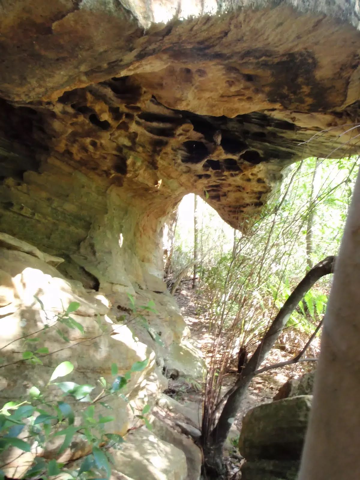
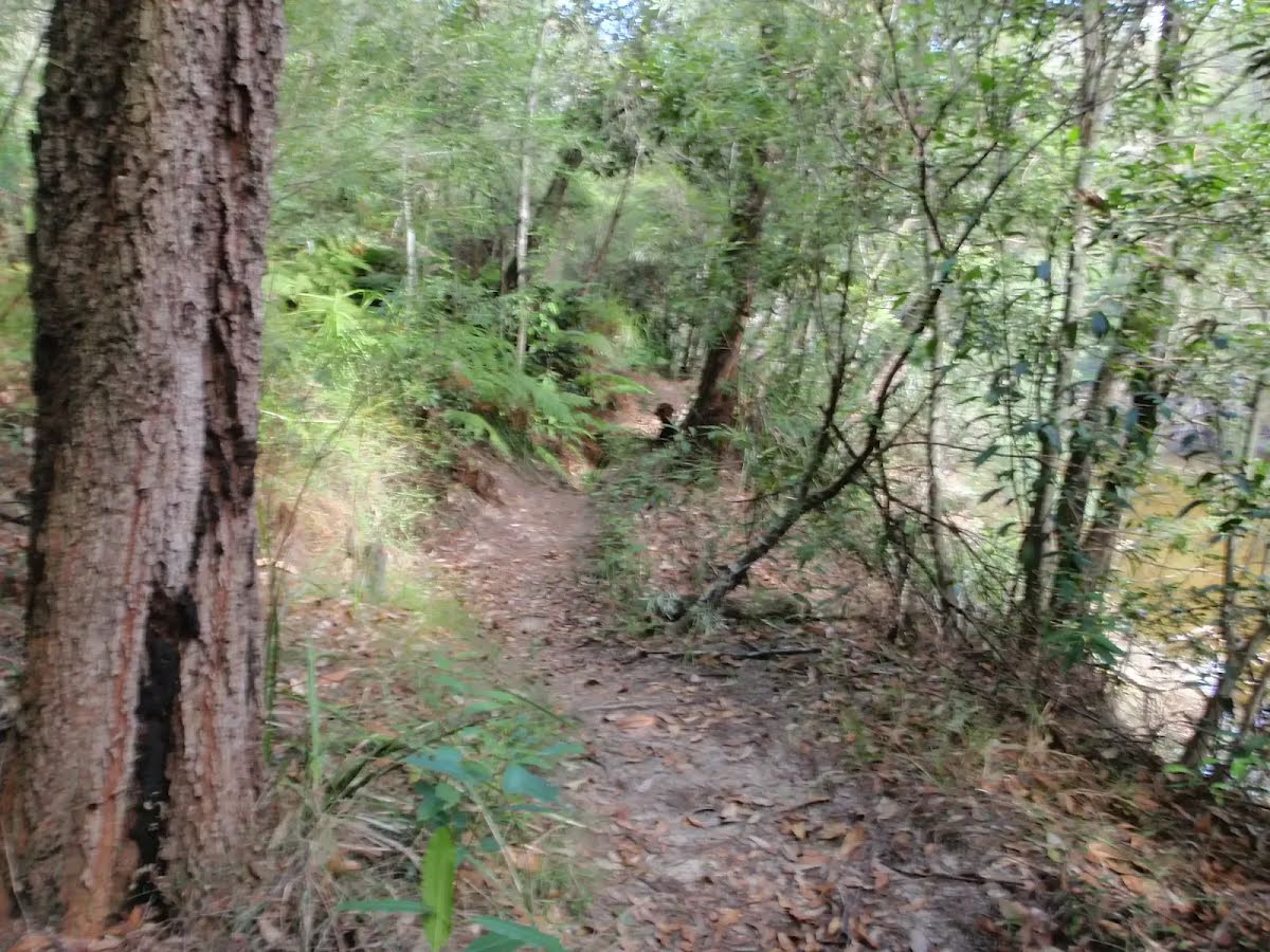
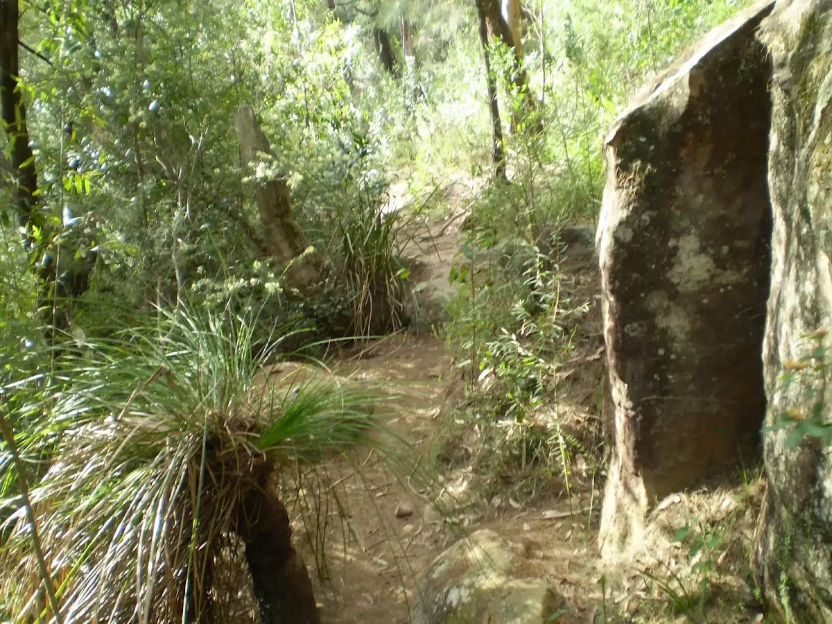
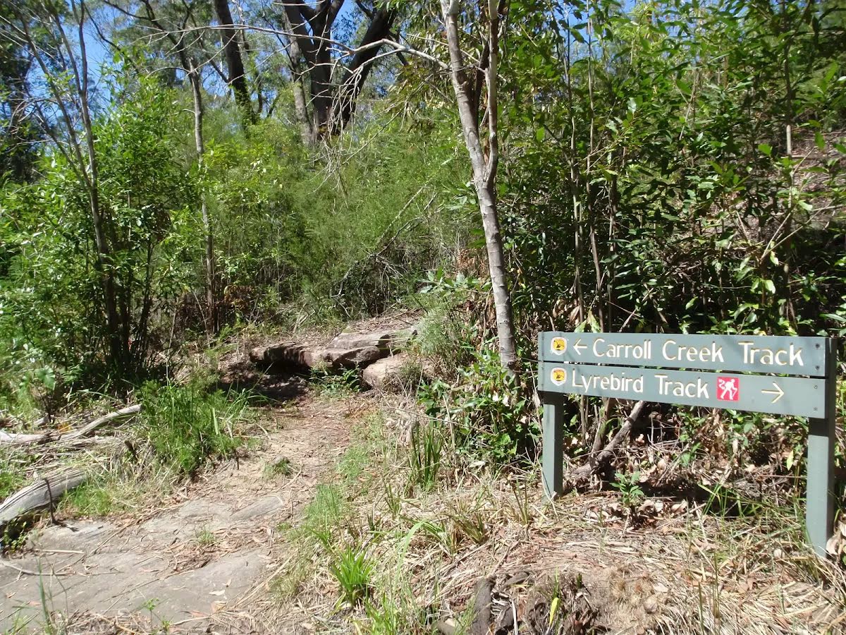
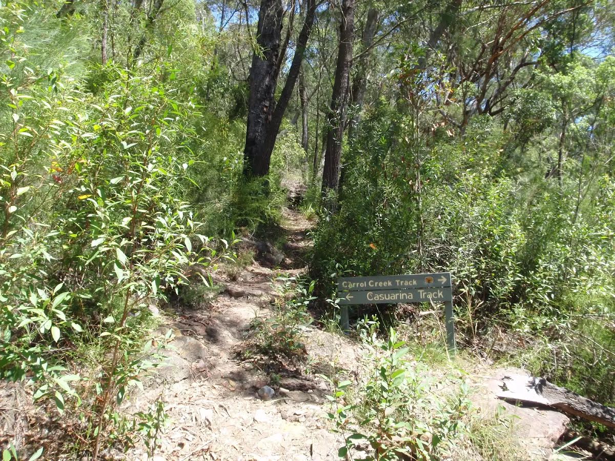
Closed areas: Magazine track closed for hazard reduction burningMagazine track is closed for hazard reduction burning from Wednesday 23 to Friday 25 October 2024
. The closed areas are:
- Magazine track between the end of Killarney Drive to the Tipperary Avenue track intersection.
- Flat Rock Beach
Penalties apply for non-compliance. This burn is called NPWS Bantry Bay HR. For more information, contact the local NPWS office or visit the
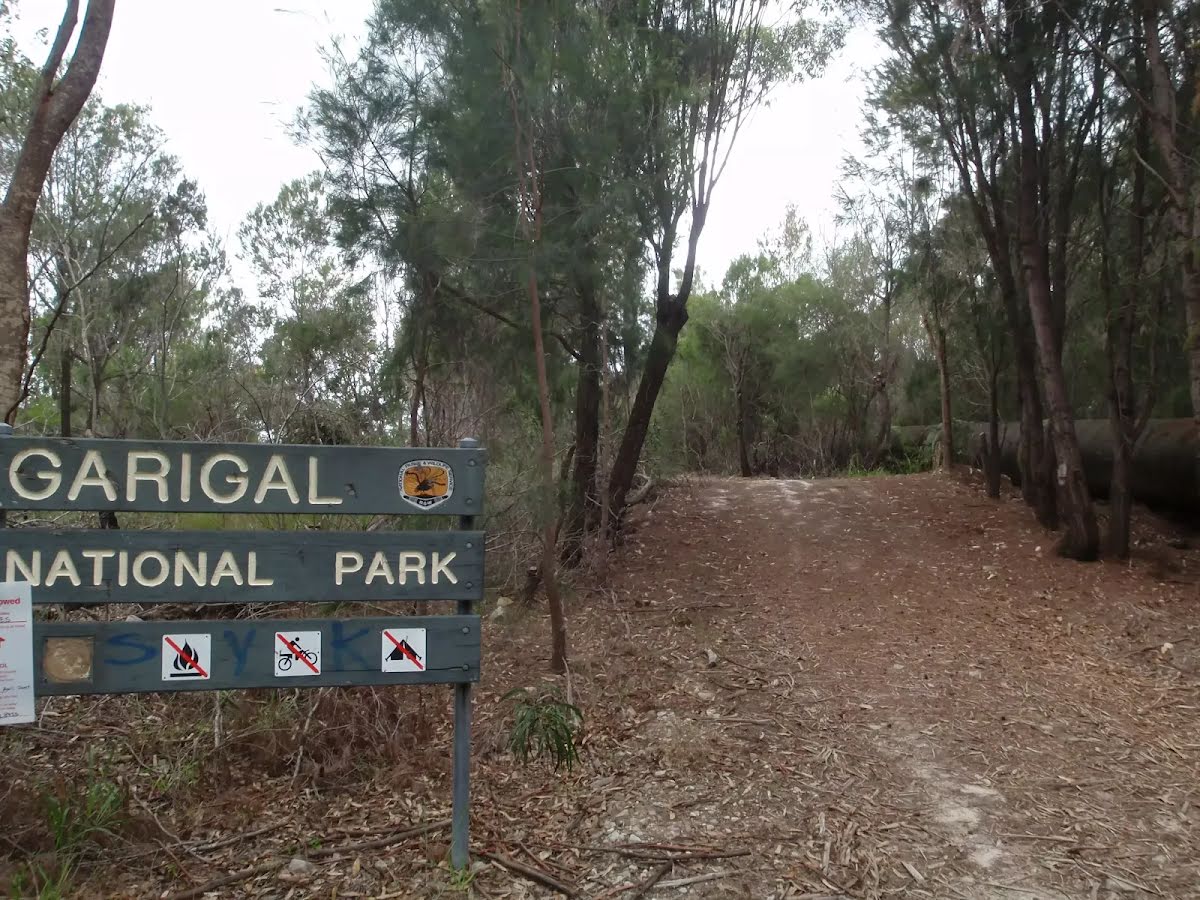
Rural Fire Service website.Other planned events: ‘1080 pest management’NSW National Parks and Wildlife Service will be conducting a baiting program using manufactured baits, fresh baits and Canid Pest Ejectors (CPEs) containing 1080 poison (sodium fluroacetate) for the control of foxes. The program is continuous and ongoing between 1 August 2024 and 31 January 2025 in
Garigal National Park. Don’t touch baits or ejector devices. Penalties apply for non-compliance.
All baiting locations are identifiable by signs.
Domestic pets are not permitted in NSW national parks and reserves. Pets and working dogs may be affected (1080 is lethal to cats and dogs). Pets and working dogs must be restrained or muzzled in the vicinity and must not enter the baiting location. In the event of accidental poisoning seek immediate veterinary assistance.
Fox baiting in these reserves is aimed at reducing their impact on threatened species.
For more information, contact the local park office on:
Forestville 9451 3479 (business hours)
NPWS after-hours call centre: 1300 056 294 (after hours)
Closed areas: Flat Rock track partial closureThe section of Flat Rock track from the Killarney Drive entrance to the Downpatrick Street entrance, is permanently closed as the old track passes through private property near Killarney Point.
Please note:
- Walkers heading west should exit Flat Rock track at the eastern end of Killarney Drive and use Killarney Drive until you reach Downpatrick Street. Then walk down the street and re-enter Flat Rock track from the Downpatrick Street fire trail.
- Walkers heading east should exit Flat Rock track at the Downpatrick Street fire trail and use Downpatrick Street, then Killarney Drive until you reach the end of Killarney Drive. Re-enter Flat Rock track from the Killarney Drive entrance.
For more information, please contact the NPWS Forestville area office on 02 9451 3479 between 9.30am and 4pm, Monday to Friday.
Alert kindly provided by © NSW Nataional Parks and Wildlife Service