| Start | At the intersection of Barmouth Beach Track & Haycock Point Walking Track (-36.9482336,149.9235548) |
| Mode | Car (There is free parking available.) |
| Directions | From Princes Highway, A1
|
| Turn map | Directions & comments |
|---|---|
 |
|
 |
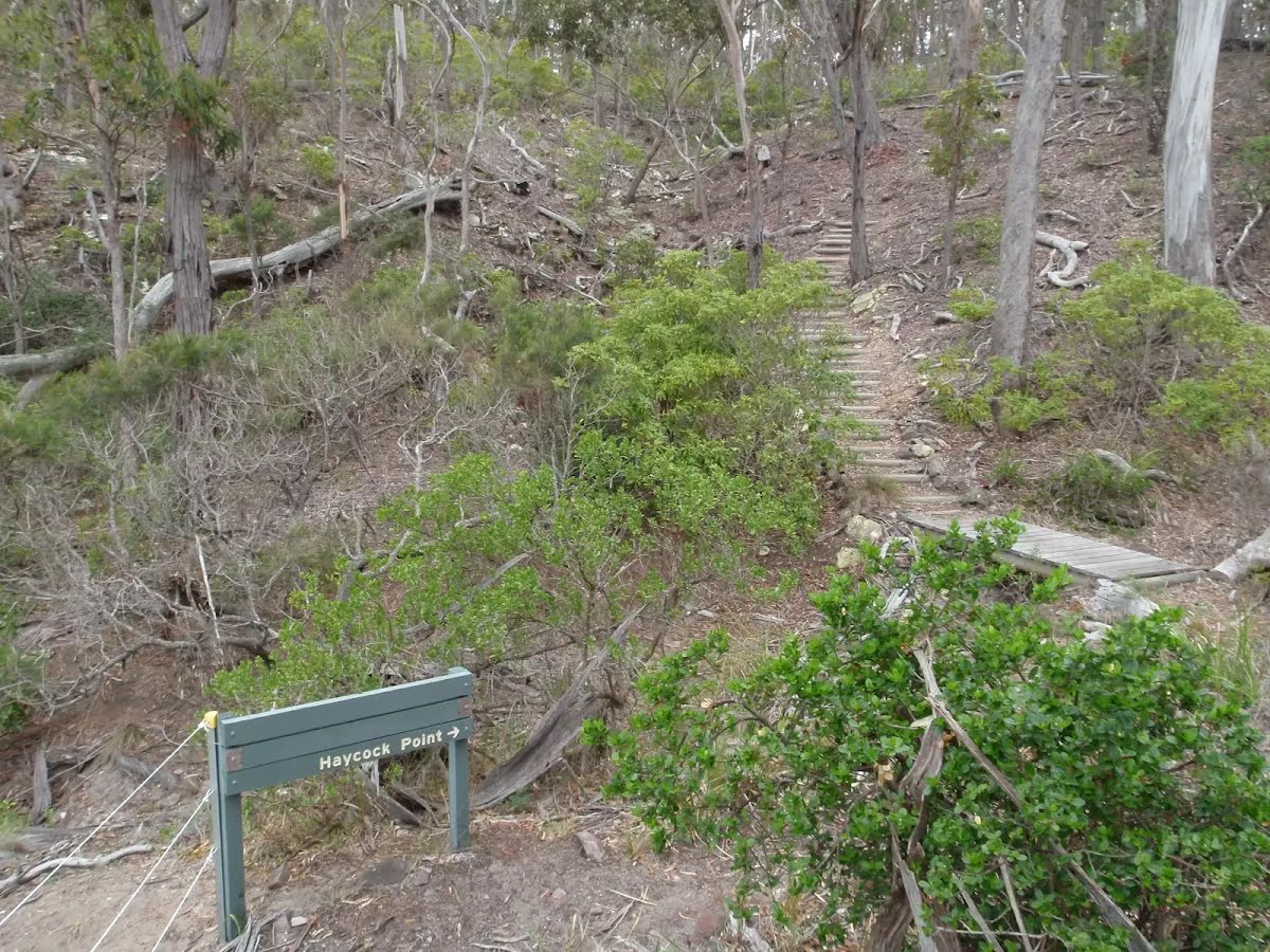
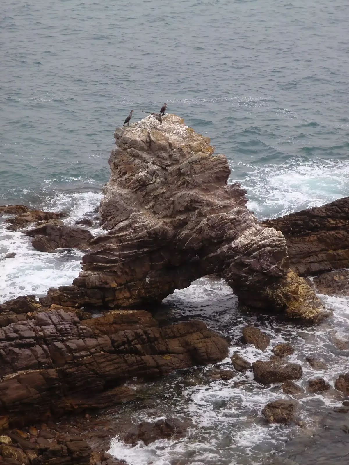
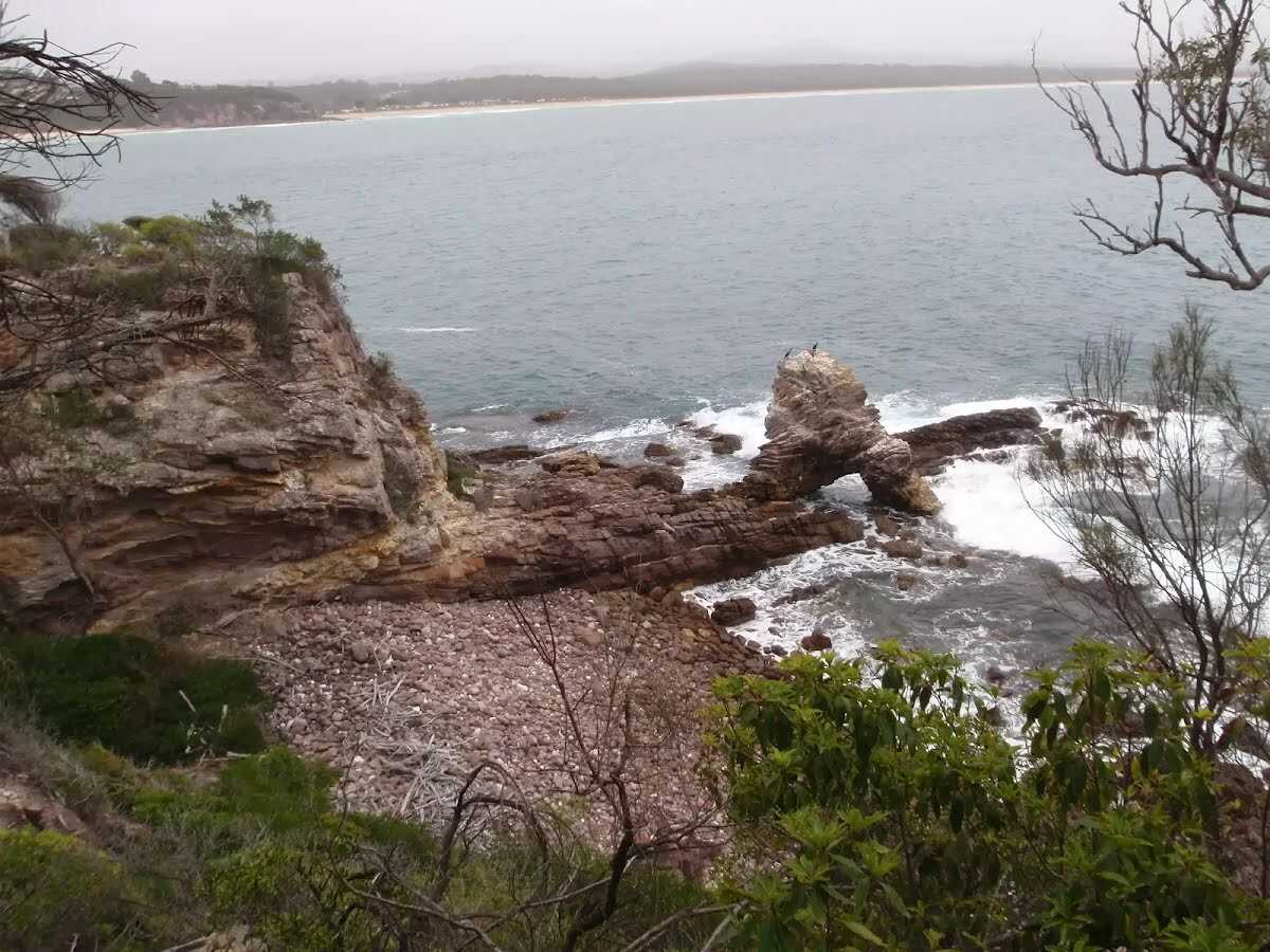
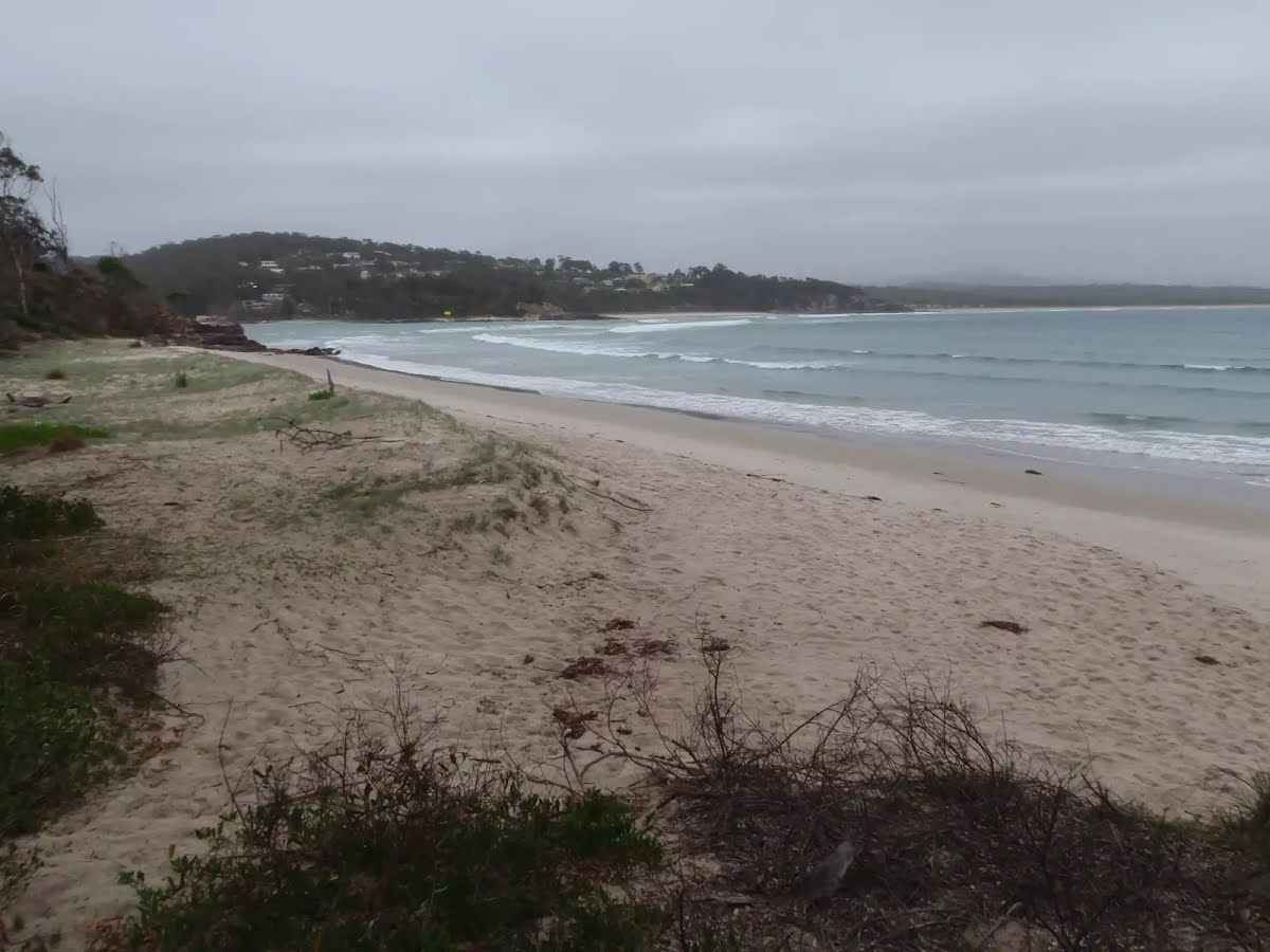
The starting point of an optional sidetrip. An optional side trip to Barmouth Beach. To start this optional side trip continue straight here. On returning from this side trip turn sharp right when you get back to this intersection. Details below.
|
 |
Continue another 360 m to find the end. Then turn around here and retrace the main route for 590 m to get back to the start.
|

|
|
Class 3/6 Moderate track |
|---|---|
| Length | 1.2 km |
| Time | 25 min to 30 min |
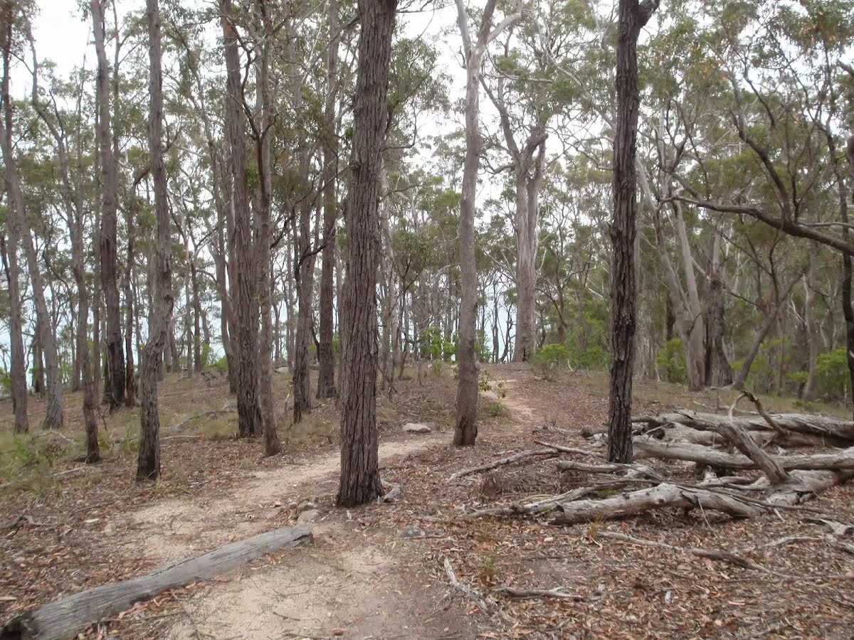
| Quality of track | Formed track, with some branches and other obstacles (3/6) |
| Gradient | Short steep hills (3/6) |
| Signage | Directional signs along the way (3/6) |
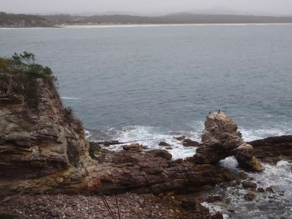
| Infrastructure | Limited facilities, not all cliffs are fenced (3/6) |
| Experience Required | No experience required (1/6) |
| Weather | Weather generally has little impact on safety (1/6) |