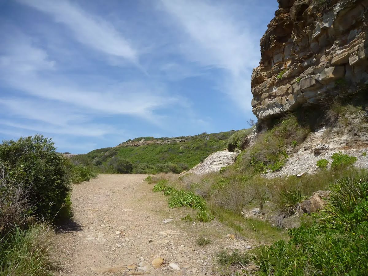
This walk starts at Caves Beach and travels south along the coastline, until reaching the Pinney’s Headland Lookout. There are many opportunities to stop, relax and swim if you would like. You will meander through coastal heath vegetation, which offers abundant wildflowers during springtime. There are spectacular views over the coast and the side trip to Spoon Rocks Spit offers a chance to look back at the attractive coastline. This walk takes you into a seldom visited part of Wallarah Pennisula. Let us begin by acknowledging the Traditional Custodians of the land on which we travel today, and pay our respects to their Elders past and present.
Before you start any bushwalk ensure you;
• Tell someone you trust where you are going and what to do if you are overdue
• Have adequate equipment, supplies, skills & knowledge for the whole journey
• Consider the impact of weather forecasts, park/track closures & fire dangers
• Can respond to emergencies & call for help at any point
• Are healthy and fit enough for this journey
If not, change plans and stay safe. It is okay to delay and ask people for help.
Turn left onto Caldwell Street and drive for another 95 m
Turn right onto Macquarie Grove and drive for another 490 m
Turn left onto Civic Avenue and drive for another 95 m
Turn right onto Pacific Street and drive for another 255 m
Turn left onto Macquarie Grove and drive for another 295 m
Turn left onto Middle Street and drive for another 105 m
Turn right onto Caves Beach Road and drive for another 350 m
Turn left and drive for another 70 m
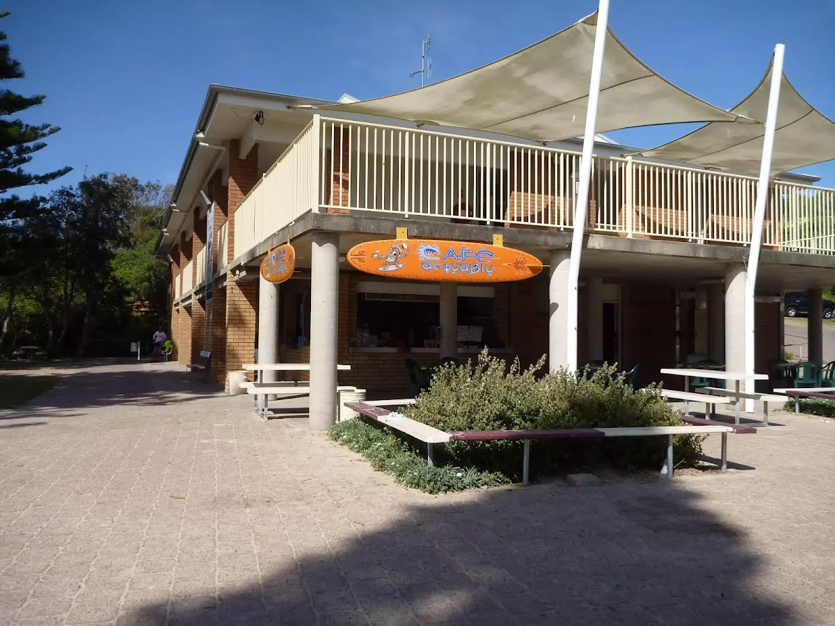
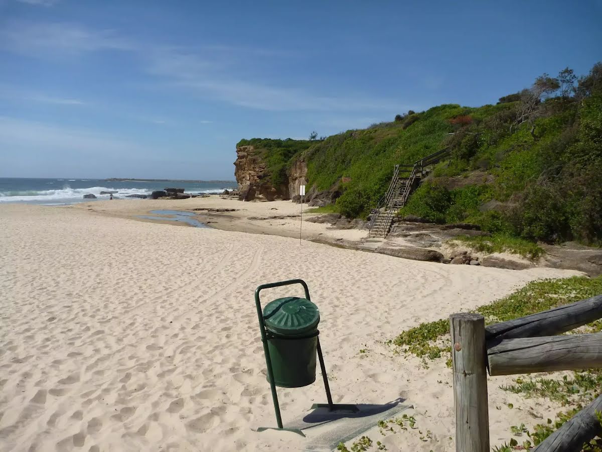
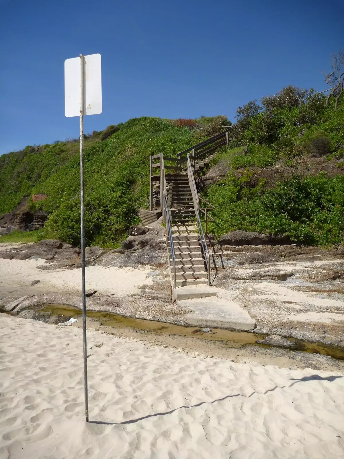
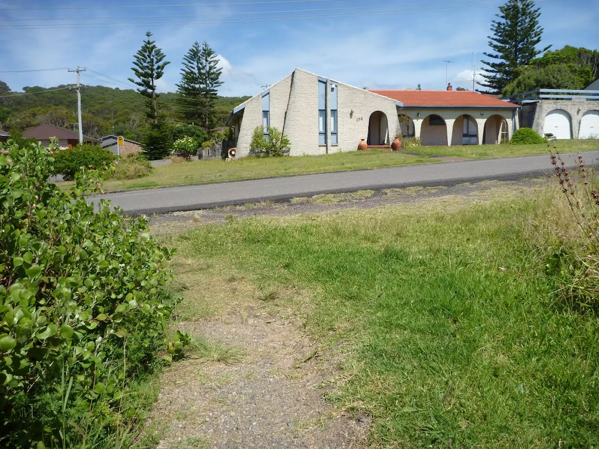
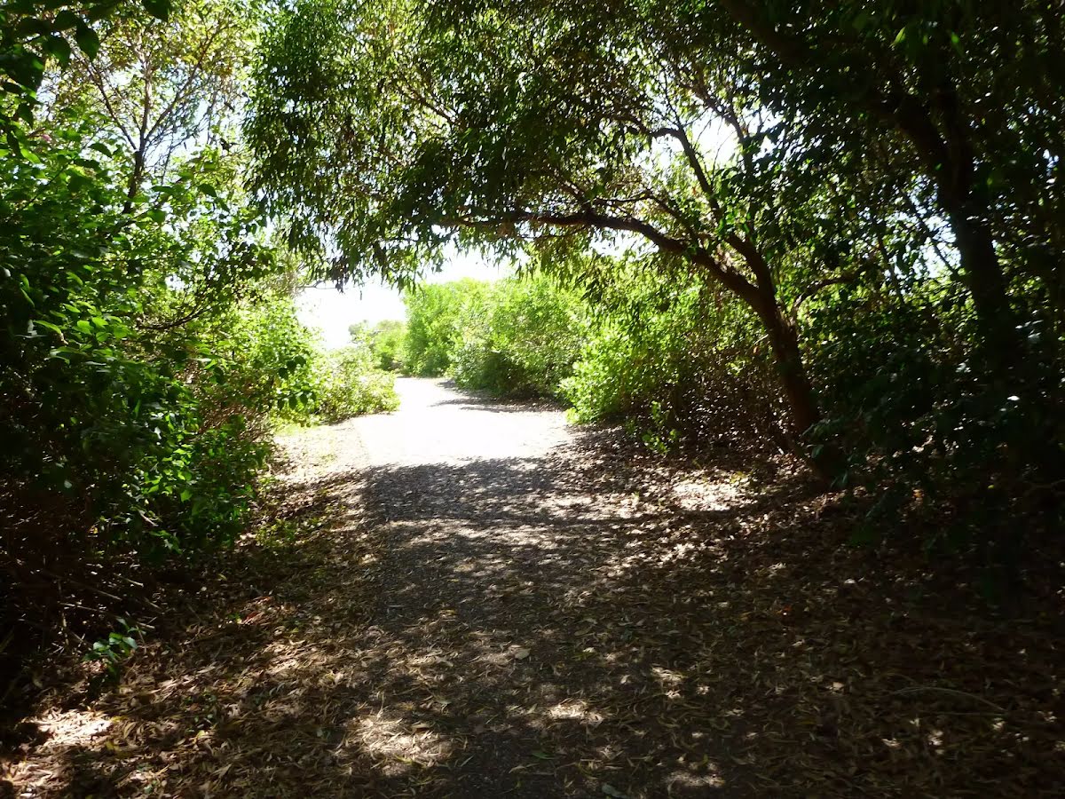
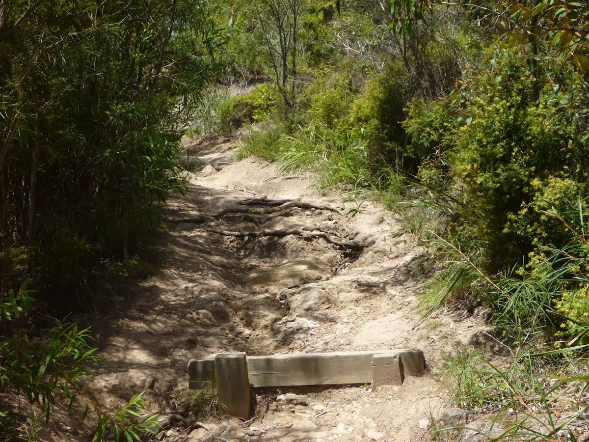
Getting started From Cafe Acquablu, this walk leaves the concrete footpath and enters Caves Beach, turning to the right. This walk then follows the sandy beach, keeping the ocean on your left, and after about 80m, crosses a small creek and comes to the bottom of timber steps. Continue straight: From the bottom of the timber steps on Caves Beach, this walk follows the steps up, leaving the beach behind. This walk continues for about 50m up the concrete and timber steps, until coming to a four-way intersection (with uphill concrete steps directly ahead).....
Turn map
Directions & comments
Start.
Stuart Chalmers Park (about 70 m back from the start).
Named after a cancer victim, Stuart Chalmers Park is a well established park close to Caves Beach. Stuart Chalmers Park has toilets, car parking, water, sheltered electric barbeques and picnic tables. The park has easy access to Caves Beach, the cafe Acquablu and the Caves Beach SLSC.
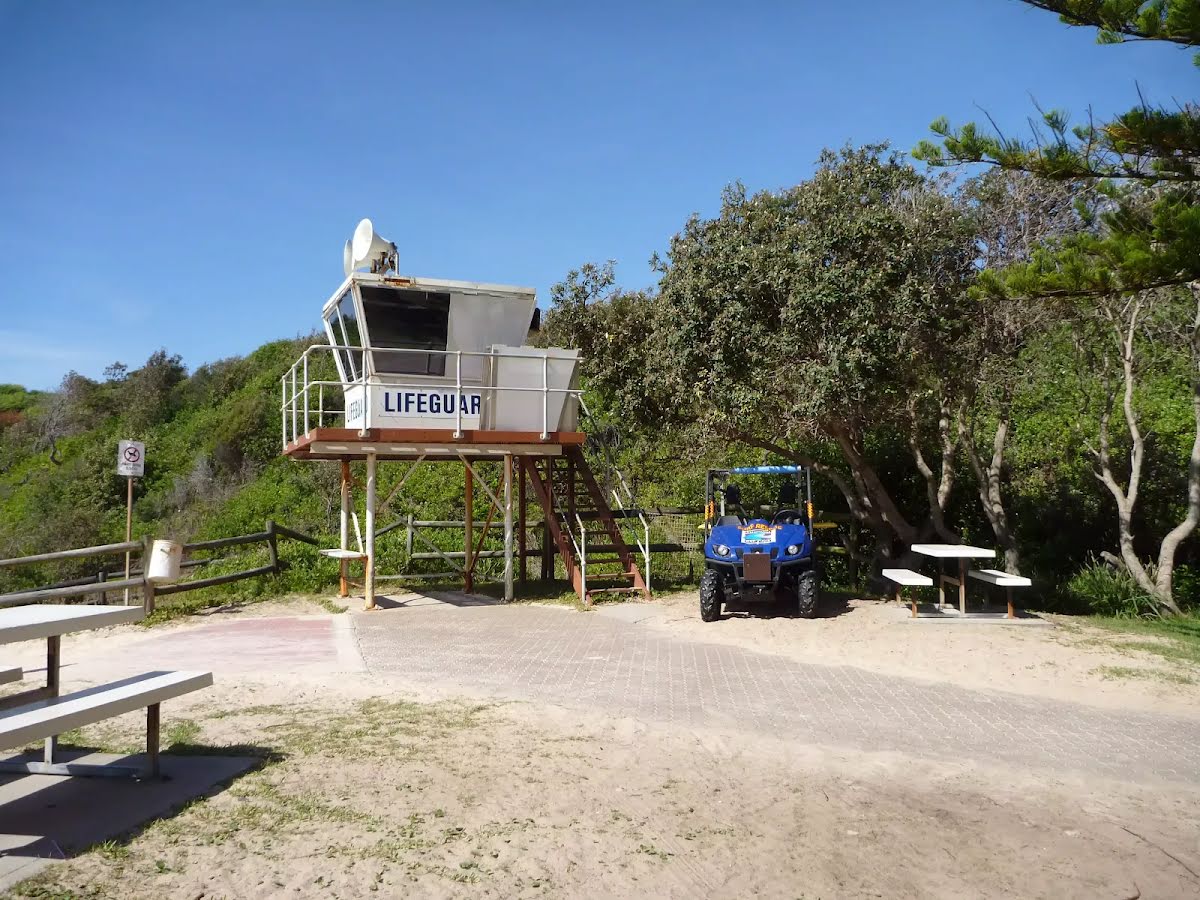
Caves Beach SLSC (about 30 m back from the start).
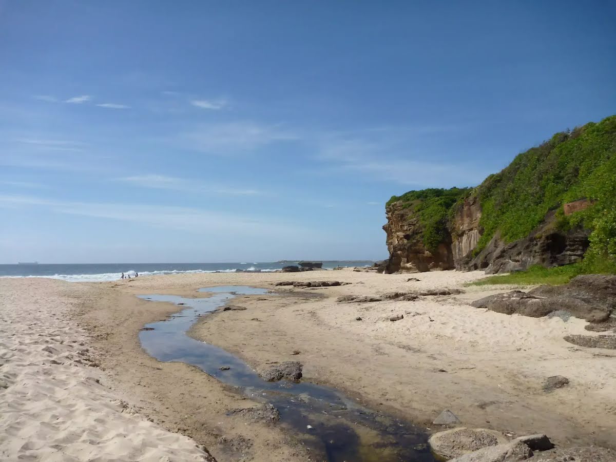
The Swansea-Caves Beach Surf Life Saving Club, south of Newcastle, was founded in 1929. The SLSC looks after Caves Beach, which runs from this southern end of the beach, for 300m to the northern Swansea (Hams) Beach. A road runs the length of the beach, with car parking along much of it. Though Caves Beach faces the south-east, it is afforded a moderate degree of wave protection by reefs in the centre and north and Spoon Rocks to the south-east.
There is water tap (about 10 m back from the start).
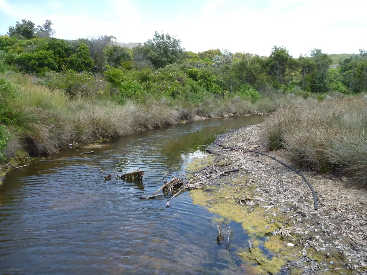
After 105 m cross the ford.
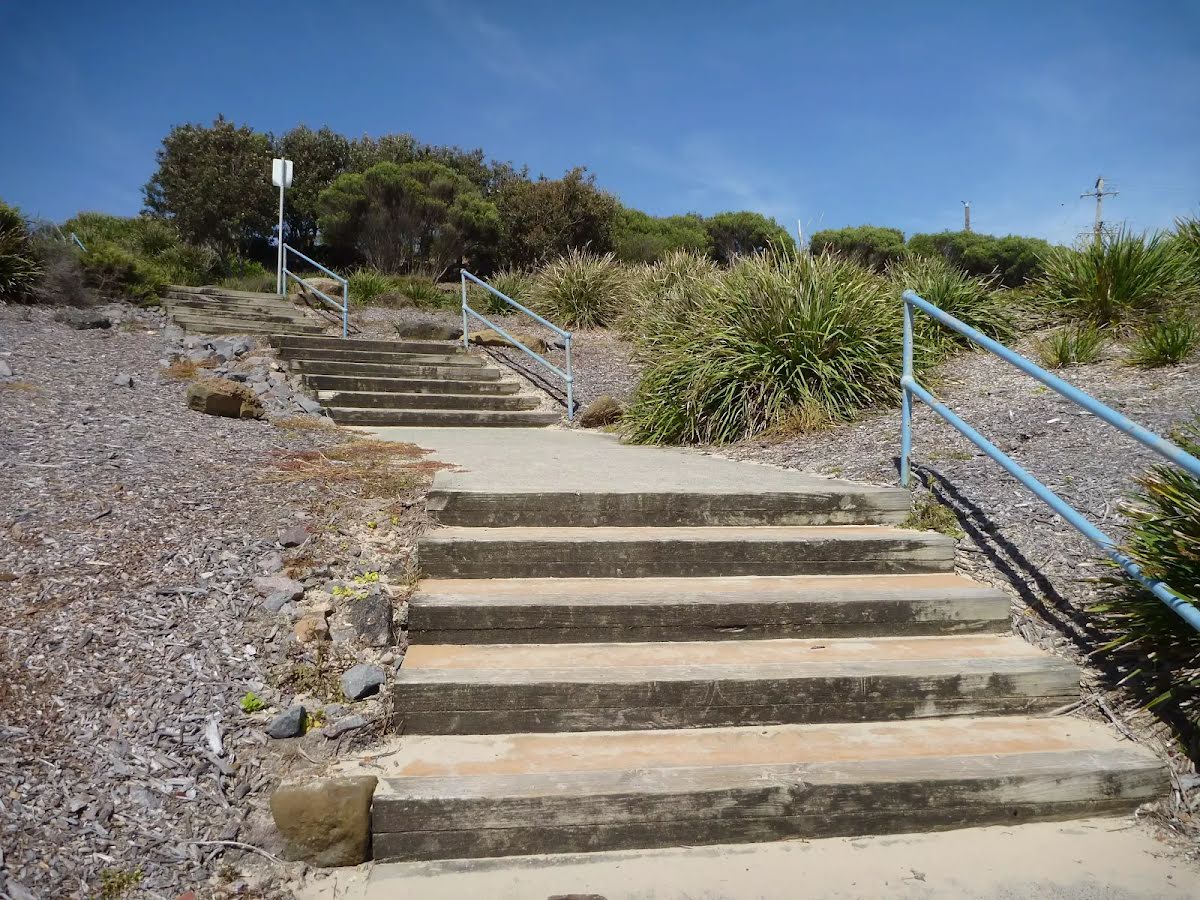
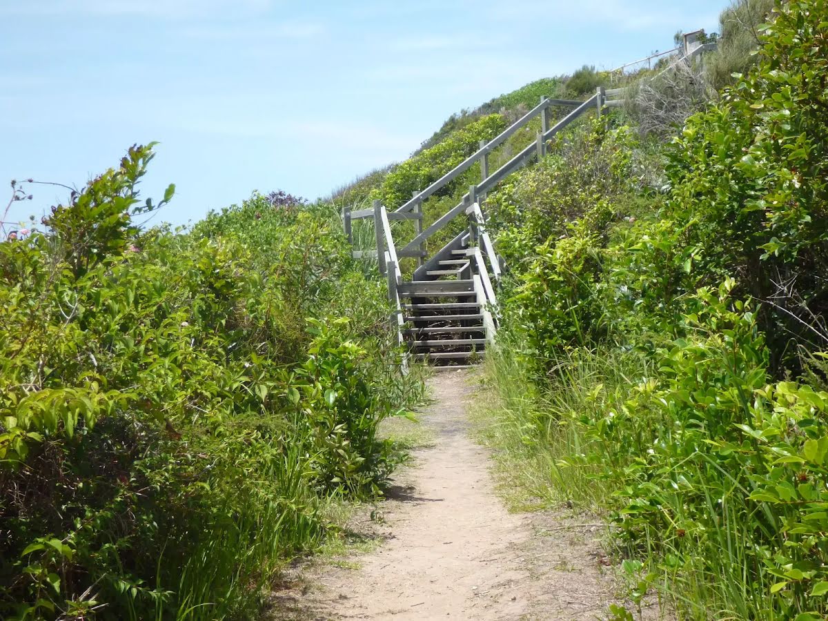
Then head up the steps (about 15 m long)
After another 30 m turn left.
After another 60 m continue straight.
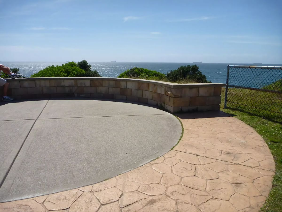
After another 70 m find the "Caves Beach Lookout" (on your left).
The Cave Beach Lookout, on the southern headland of Caves Beach, is easily accessible via wheelchair from the car park nearby. The lookout offers excellent views over the caves of Caves Beach and also to the north and south. There are is a large stone viewing platform on which to sit and enjoy the views.
After another 60 m find the "Caves at Caves Beach" (50 m on your left).
Caves Beach derives its name from the sea caves in the headland at it's southern end. The caves are only accessible at low tide. It is best to ask at the Caves Beach SLSC for local advice before attempting to visit the caves. The caves are roughly broken into two halves, with somewhat easier access to the first section of caves, while access to the second section (further to the south) is certainly restricted to low tide and light conditions. Allow time to return before the tide changes. These caves are pleasantly cool on a hot day and offer plenty of exploring potential.
After another 60 m find the "Wallarah Pennisula" (30 m on your right).
Wallarah Penisula, also referred to as the Swansea Pennisula, is surrounded by water and includes the Wallarah National Park. The Wallarah Pennisula stretches from Lake Macquarie in the west to the ocean in the east, from Swansea and Caves Beach in the north to Catherine Hill Bay and Lake Munmorah in the south. Within the Wallarah National Park, there are plenty of things to do, including walking, fishing, swimming and surfing. The coastal views are spectacular, and this is also a good whale watching spot. The Wallarah National Park co-operates with its park neighbours, including Stockland Wallarah Peninsula Pty Ltd, on a wide range of issues relating to the management of the Wallarah Peninsula through a joint management agreement.
After another 150 m pass the cave (80 m on your left).
Turn left.
After another 115 m turn right.
After another 20 m turn left, to head along Caves Beach Road.
After another 20 m (at the intersection of Copper Valley Close & Caves Beach Road) continue straight, to head along Caves Beach Road.
After another 50 m turn left.
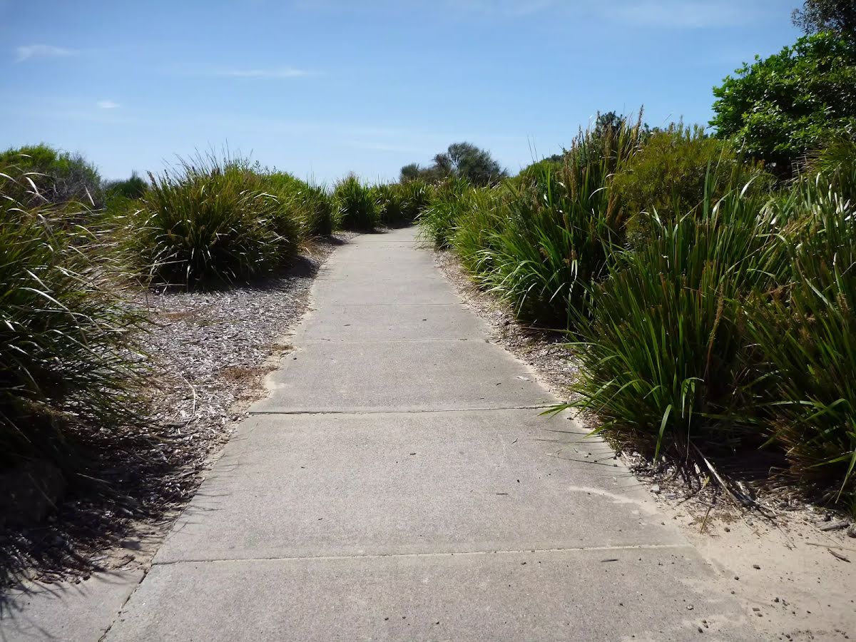
After another 450 m continue straight.
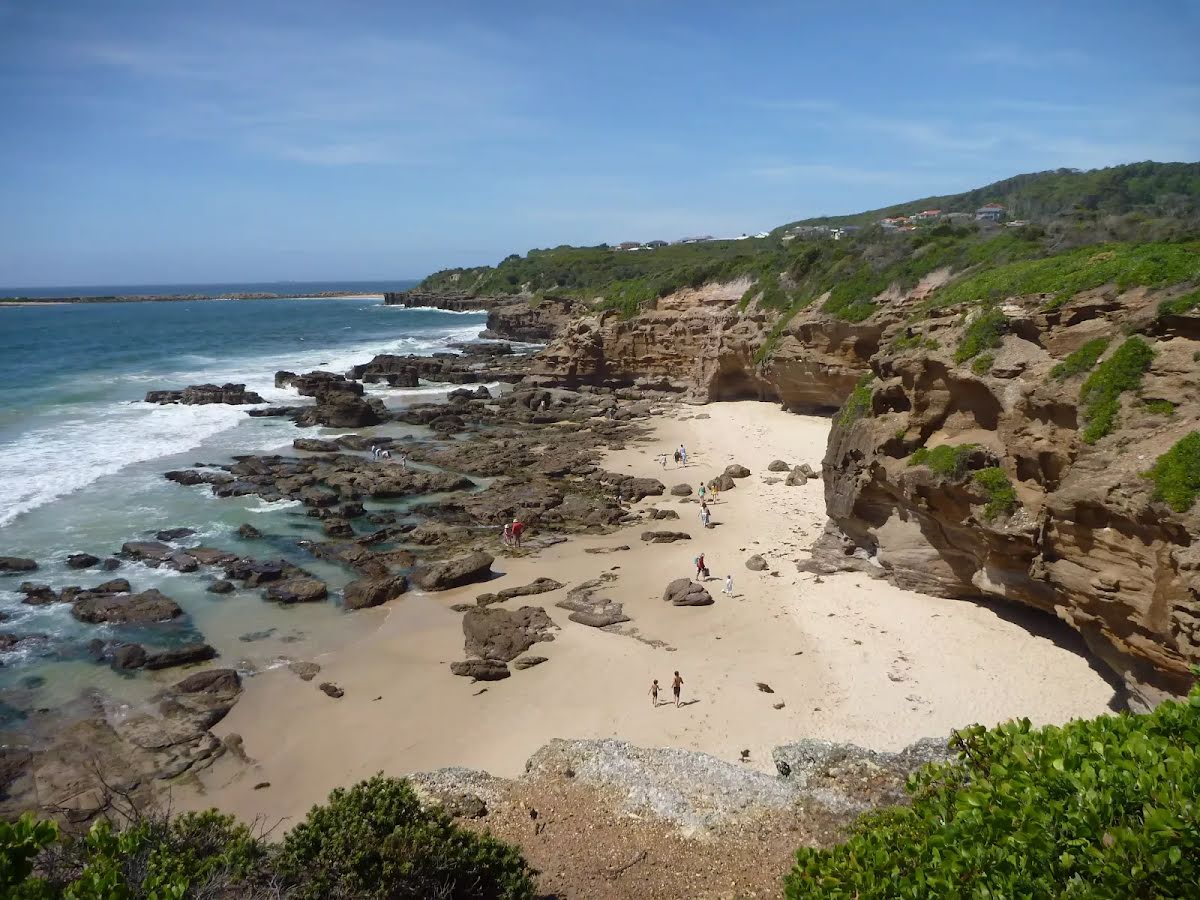
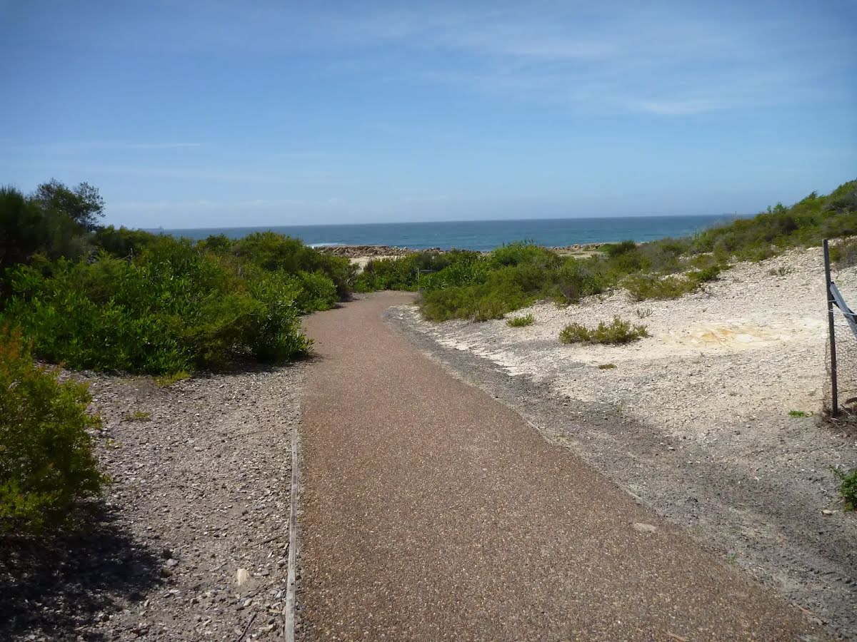
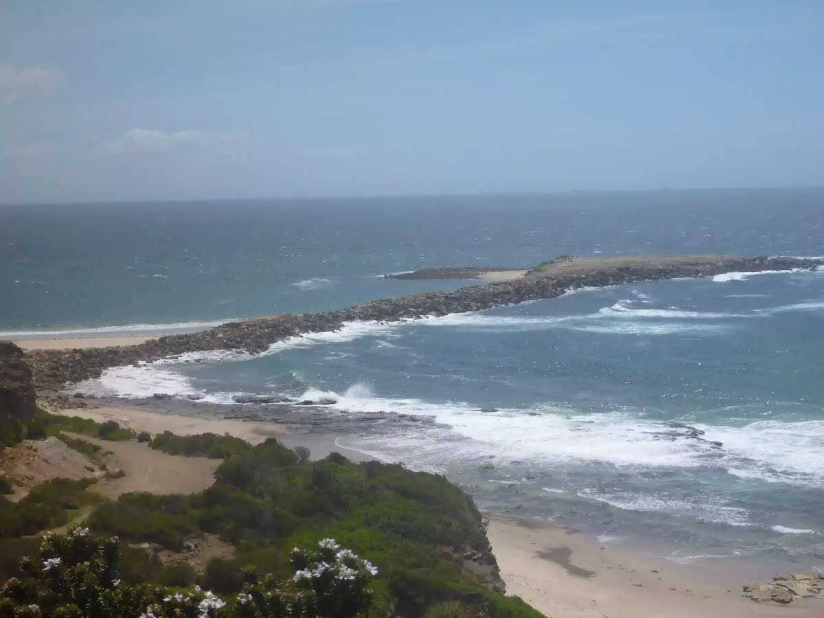
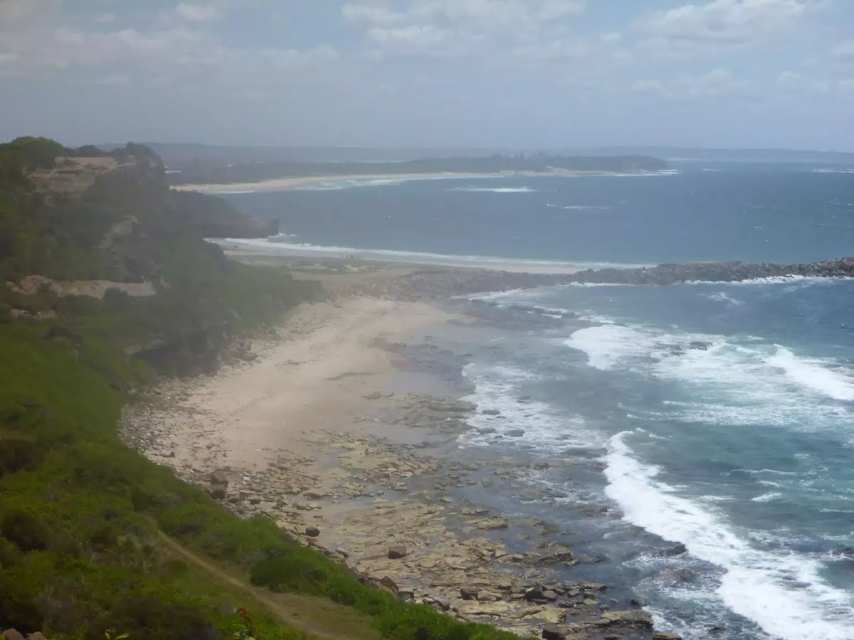
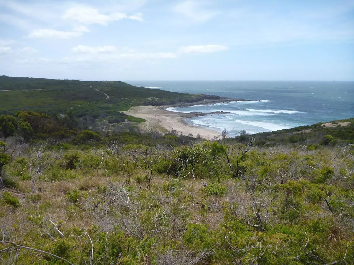
After another 180 m find the "Spoon Rocks Beach" (85 m on your left).
Spoon Rocks Beach, south of Caves Beach is a sheltered sandy beach. Spoon Rocks breakwater forms the southern end of the beach and has allowed sedimentation of sand to occur and created this attractive beach. The beach is 300m long, faces north-east and is good for swimming. The Spoon Rocks Beach is worth the walk in to it.
The starting point of an optional sidetrip. An optional side trip to End of Spoon Rocks Spit. To start this optional side trip turn left here. On returning from this side trip turn left when you get back to this intersection. Details below.
After another 40 m continue straight.
After another 290 m continue straight.
After another 95 m turn left.
After another 155 m head up the surface|wood steps (about 15 m long)
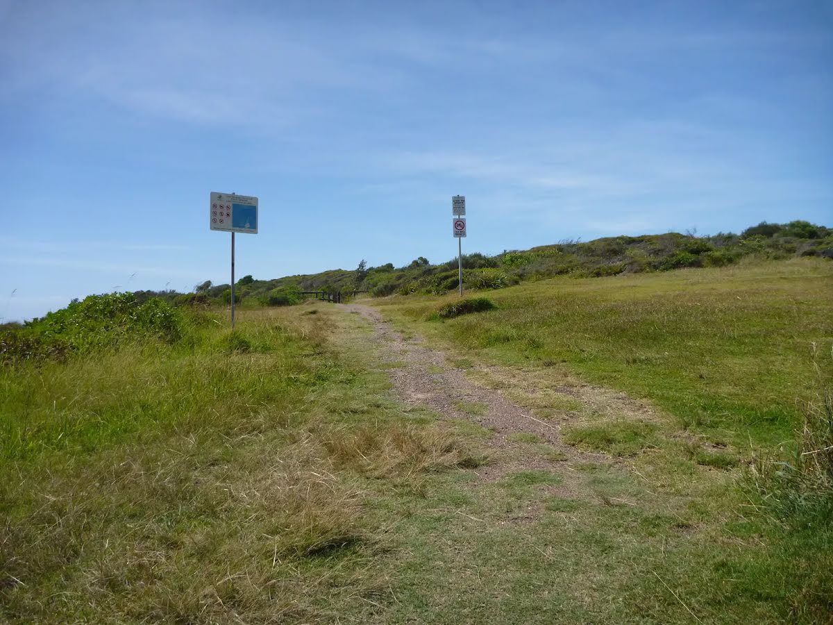
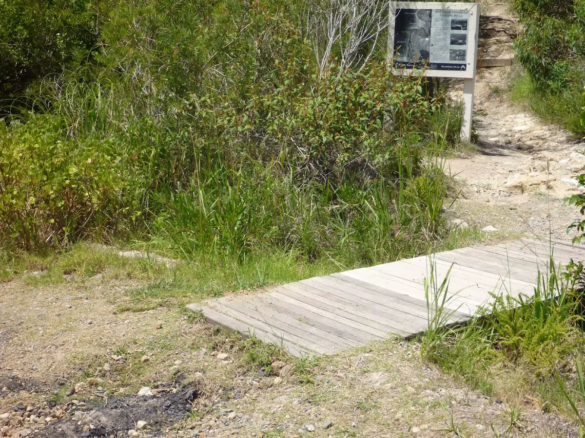
After another 15 m pass the sign (on your left).
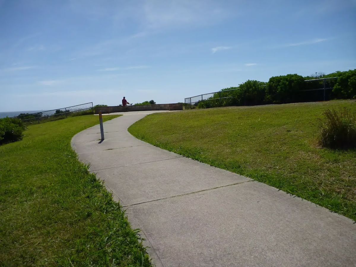
After another 5 m come to the viewpoint.
After another 20 m turn left.
After another 240 m veer left.
After another 70 m continue straight.
After another 165 m veer right.
After another 235 m veer left.
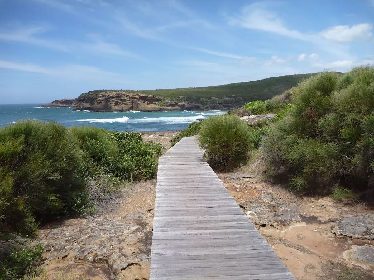
After another 50 m find the "Pinneys Lookout" (6 m on your left).
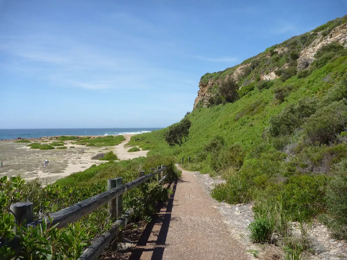
Pinney's Lookout overlooks the northern side of Pinney's Beach on the Wallarah Peninsula. From this timber platform, the whole of Pinney's Beach can be seen, including Pinney's Headland to the south. Some of the timber on this lookout was missing when visited, so take care.
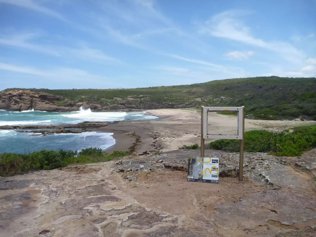
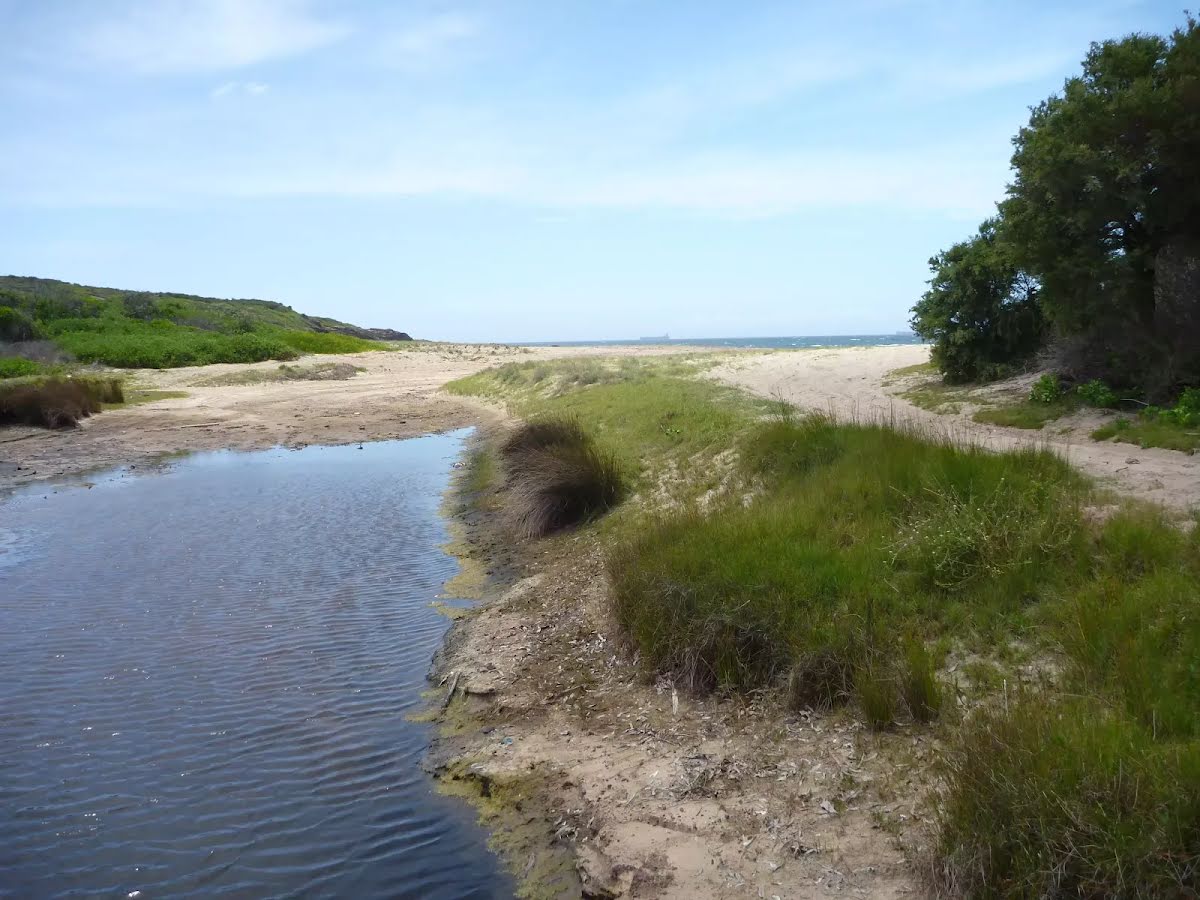
After another 10 m find the "Pinneys Beach" (145 m on your left).
Pinney's Beach is a good beach for fishing, surfing and swimming. This beach is accessible on foot, via the coastal walk. This beach is not patrolled and rock platforms can be dangerous, even when the seas appear calm. Personal fishing is permitted off all the coast in Wallarah National Park, although a licence is needed. A midden (dated to about 1200 years old), with about 20 stone artefacts, was discovered here in the 1960s, but unfortunately 4WD vehicles have caused erosion to this site.
After another 10 m veer right.
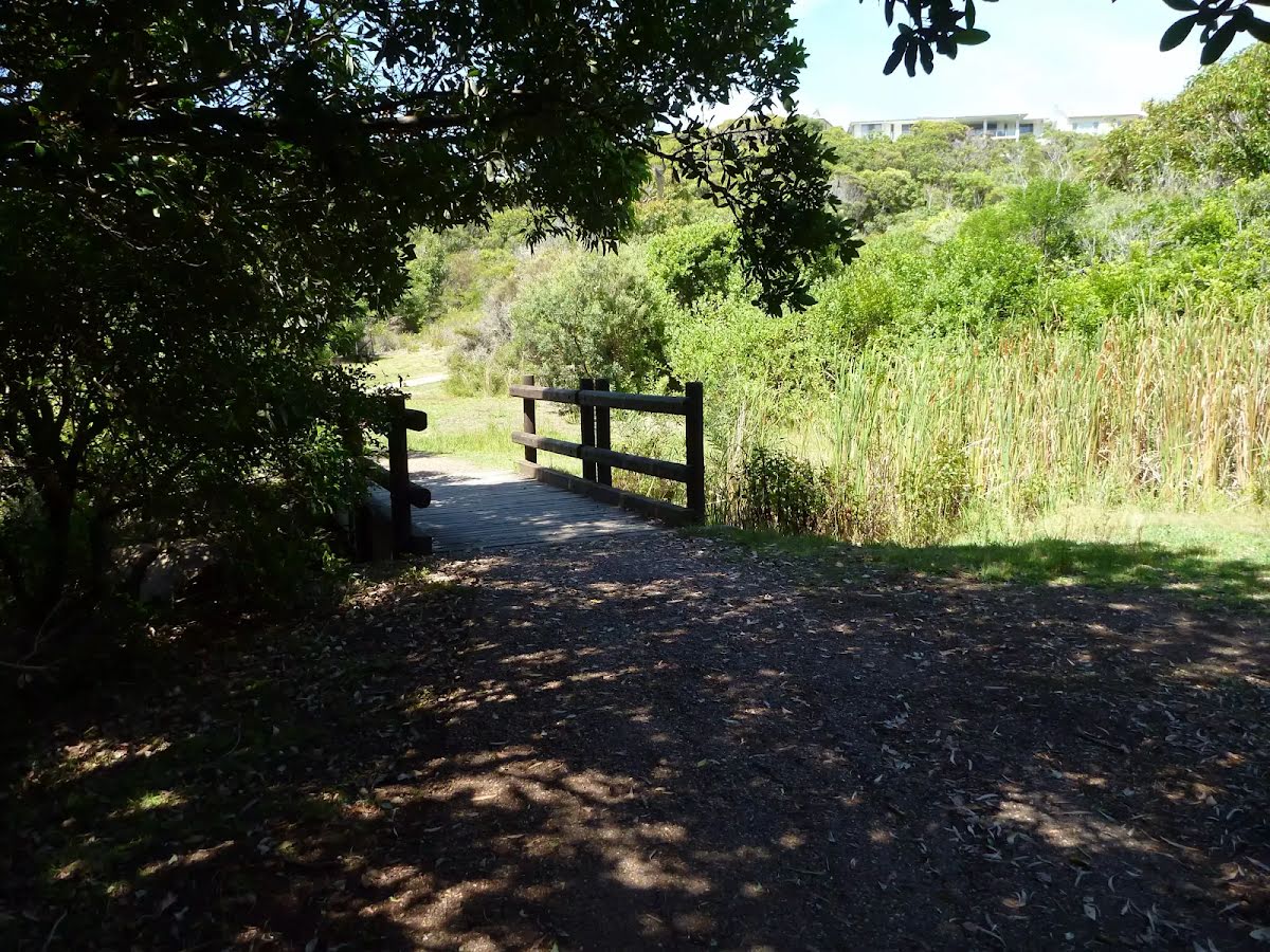
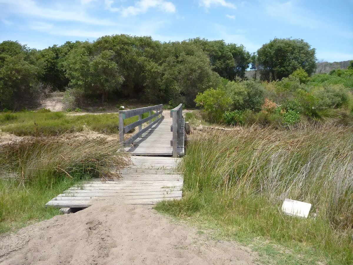
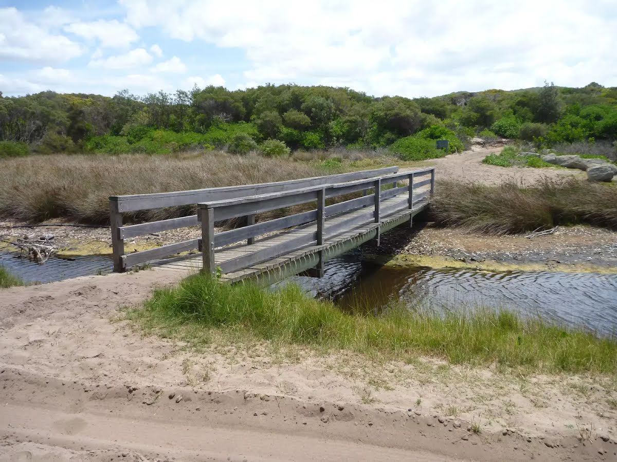
After another 15 m cross the bridge (about 6 m long)
After another 15 m turn left.
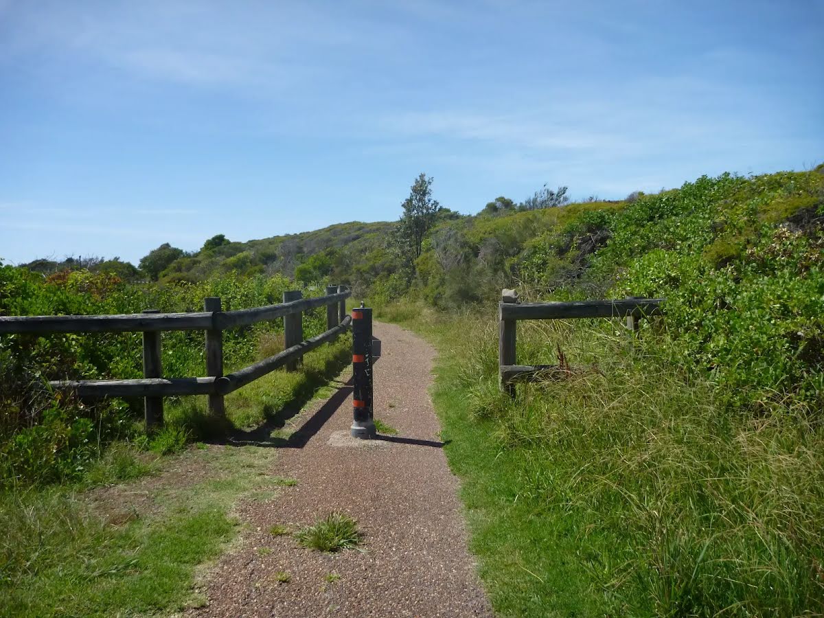
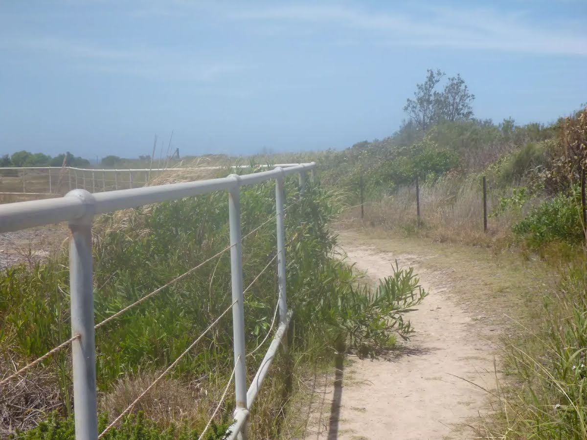
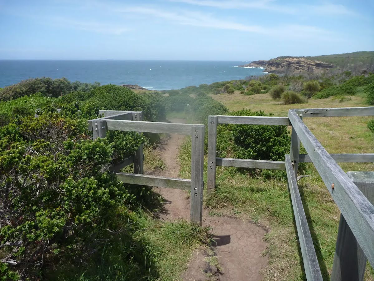
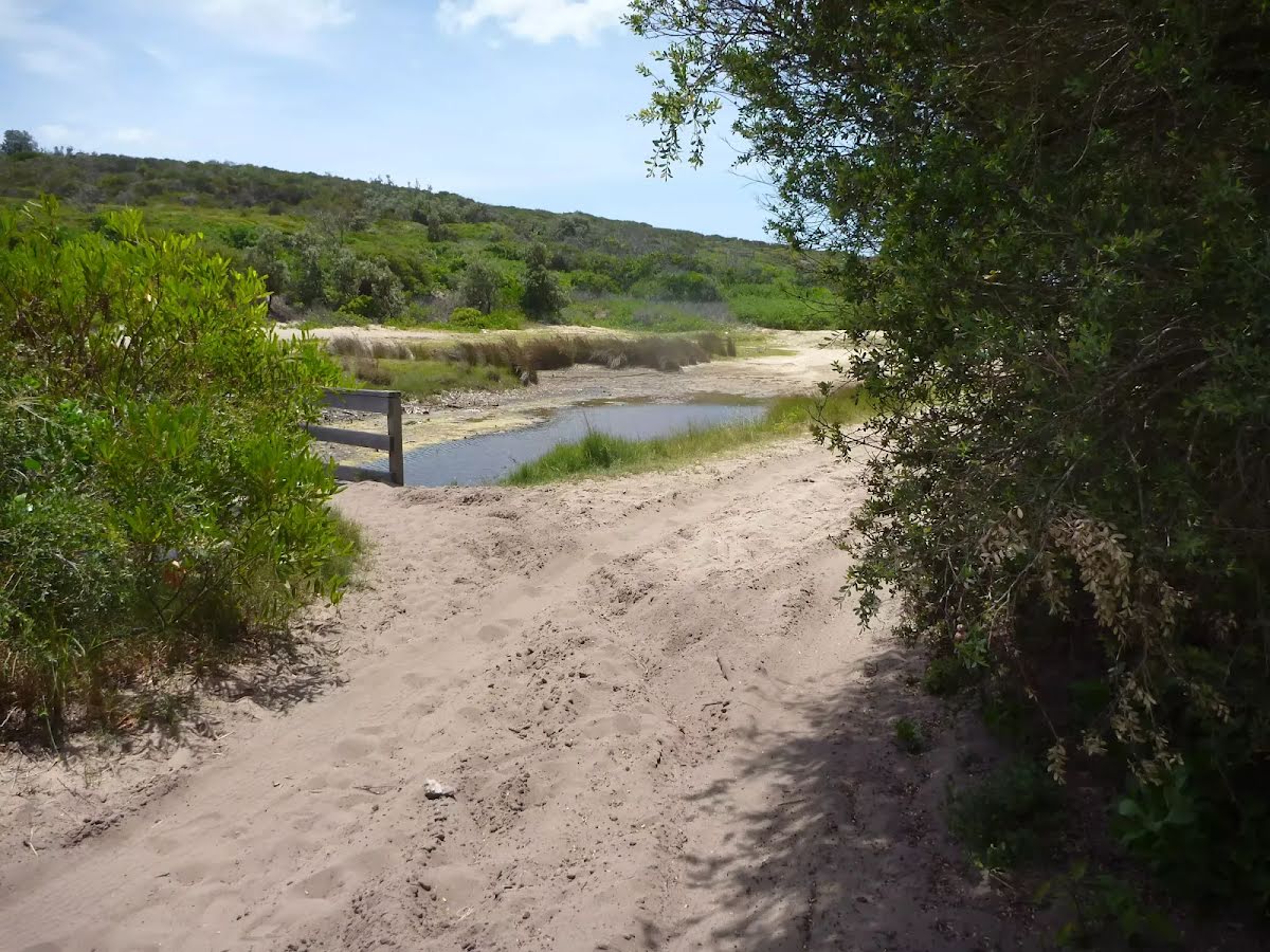
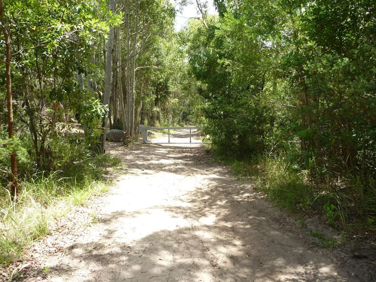
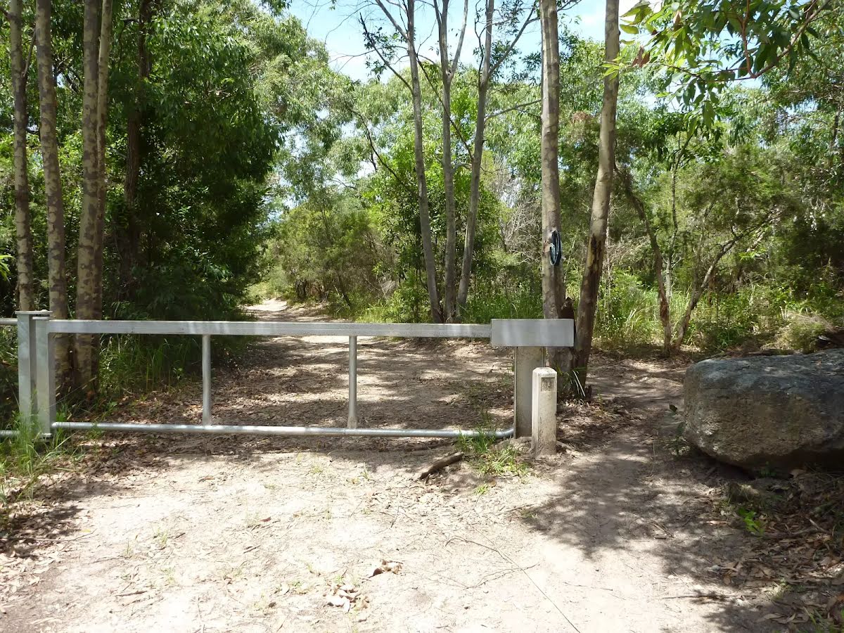
After another 10 m head through/around the gate.
After another 95 m cross the bridge (about 15 m long)
After another 4 m turn right.
After another 170 m head through/around the gate.
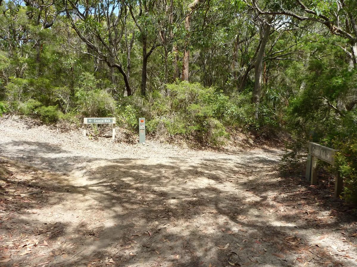
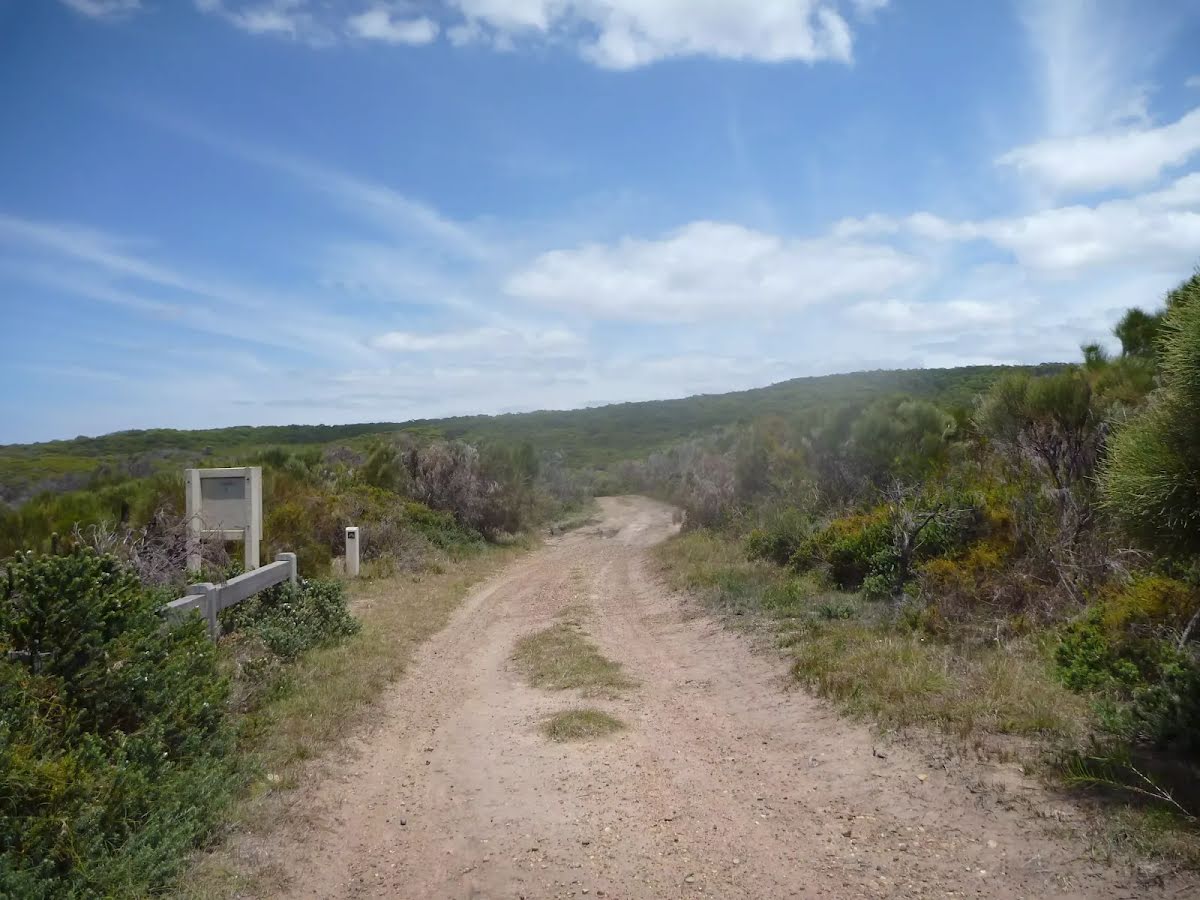
After another 135 m turn left, to head along West Pinney Trail.
After another 460 m (at the intersection of Southern Headland Trail & West Pinney Trail) turn left, to head along Southern Headland Trail.
After another 70 m (at the intersection of Southern Headland Trail & Shark Hole Trail) continue straight, to head along Southern Headland Trail.
After another 120 m continue straight, to head along Southern Headland Trail.
After another 245 m turn left.
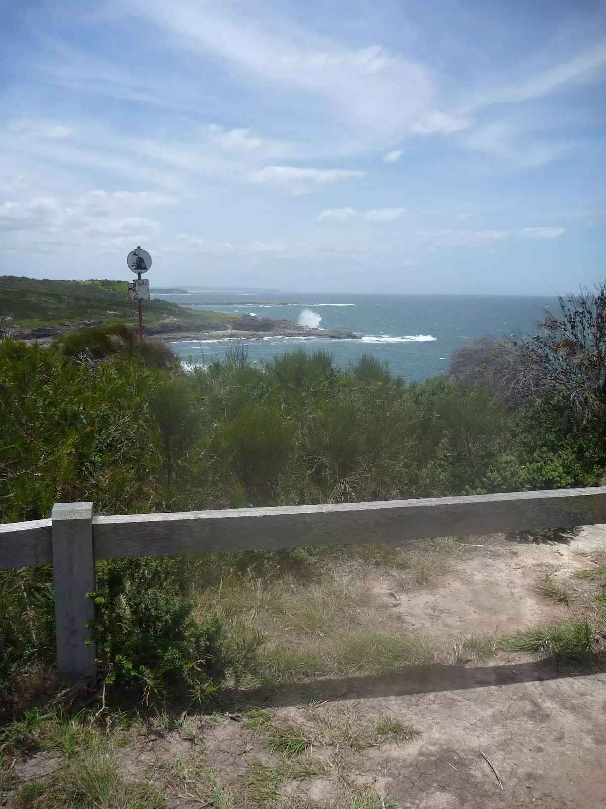
After another 35 m come to "Pinney's Headland Lookout".
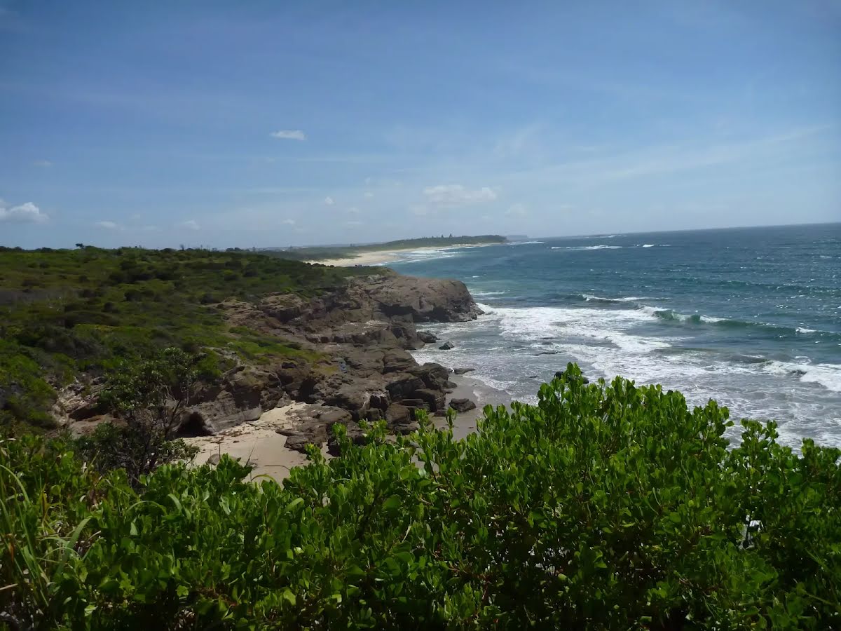
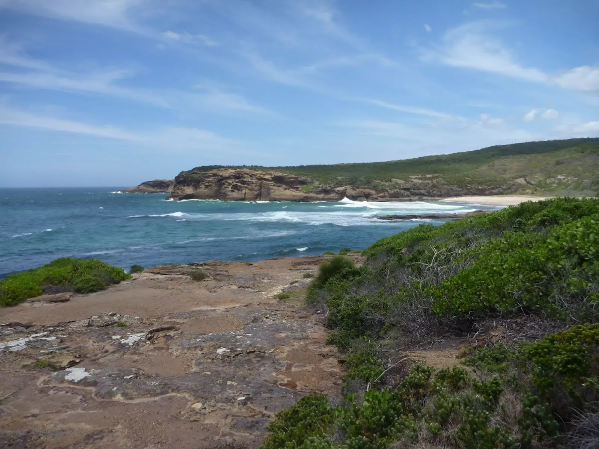
There are magnificent vistas from Pinney's Headland Lookout, particularly to the north. The headland is accessed on foot via the Wallarah Peninsula coastal walk, and the headland itself has a loop walking trail on it. At the southernmost point of this walking loop, there are unfenced rock platforms forming the ocean shoreline - take care.
About 35 m past the end is "Nudie Cave".
About 55 m past the end is "Pinny Cave".
Turn around here and retrace the main route for 4.2 km to get back to the start.
An optional side trip to End of Spoon Rocks Spit.
Turn map
Directions & comments
Start.
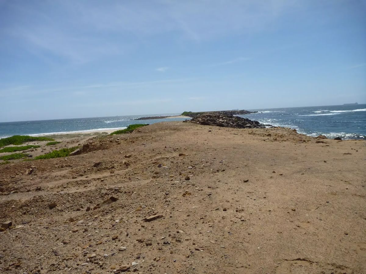
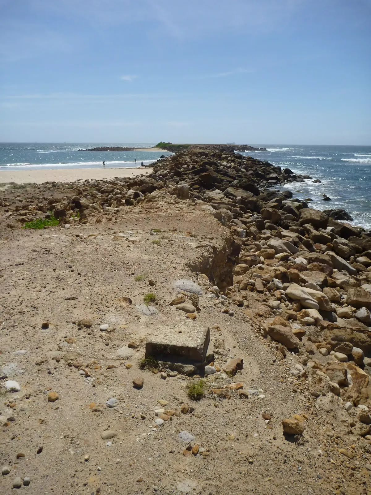
After another 460 m come to "Spoon Rocks Spit".
Spoon Rocks Spit is a wide breakwater extending 500m out into the ocean. This breakwater was originally designed as a coal loading facility to offload coal mined from the nearby Wallarah seam. The rocks were cut from the cliff face below the spit. Over time, the force of the ocean waves have breached the breakwater. Sedimentation from these ocean forces has established a safe and protected swimming and beach area to the north of the spit.
The end.
Turn around and retrace your steps back the 460 m to the main route.
Wallarah Coastal Walk
Grading
Class 4/6
Hard track
Length
8.4 km
Time
2 h 30 min to 3 h
Quality of track
Formed track, with some branches and other obstacles (3/6)
Gradient
Very steep (4/6)
Signage
Minimal directional signs (4/6)
Infrastructure
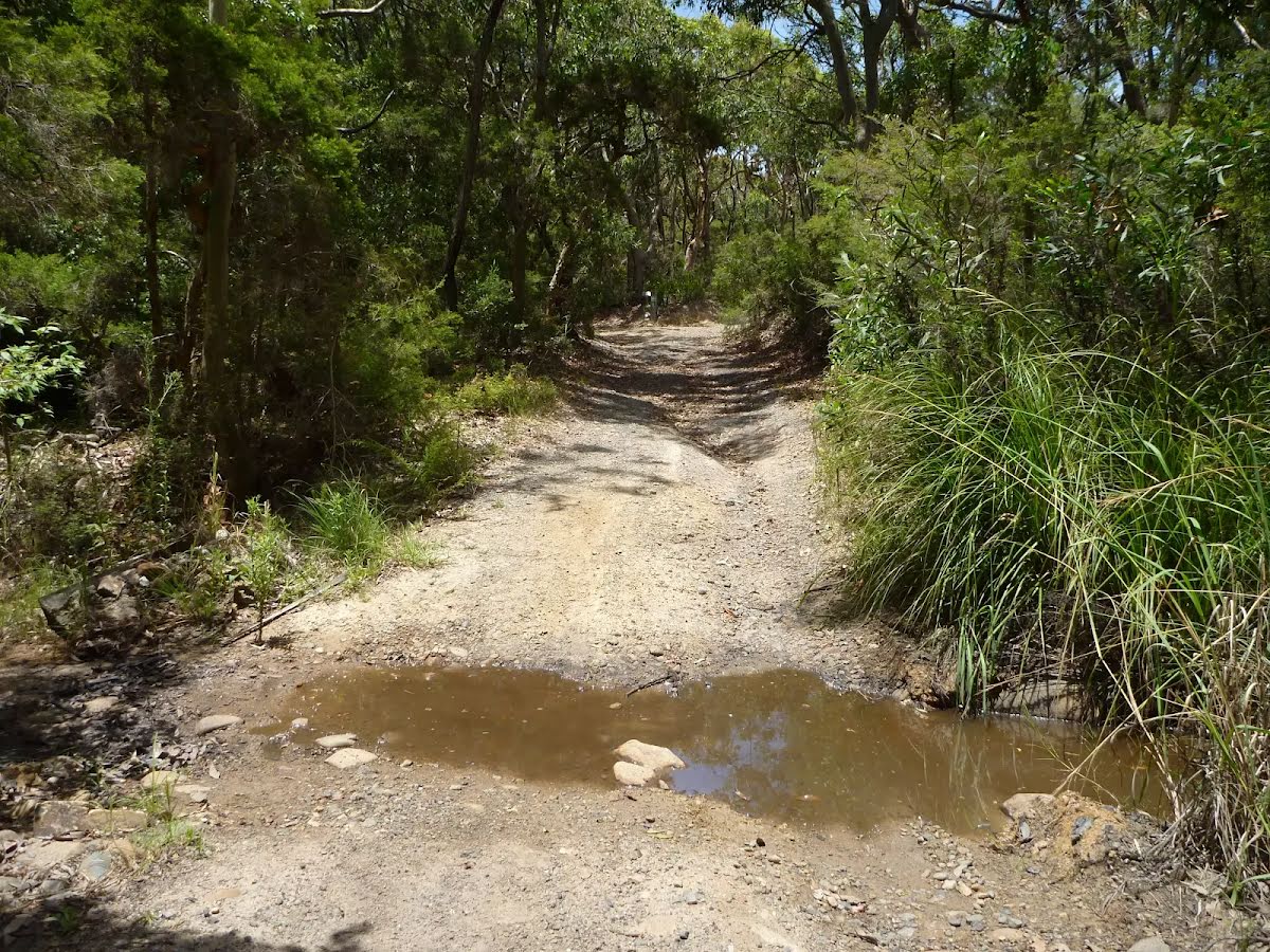
Limited facilities (such as cliffs not fenced, significant creeks not bridged) (4/6)
Experience Required
Some bushwalking experience recommended (3/6)
Weather
Weather generally has little impact on safety (1/6)
Cloudy. Very high chance of showers. The chance of a thunderstorm, possibly severe inland. Winds southeasterly 15 to 20 km/h becoming light in the evening.
Saturday 26 October
11°C → 20°C
Partly cloudy. 20% chance of rain
Mostly sunny. High chance of showers along the coastal fringe, medium chance elsewhere. Light winds becoming southwesterly 15 to 20 km/h in the morning then turning south to southeasterly in the afternoon. Overnight temperatures falling to between 8 and 12 with daytime temperatures reaching the low 20s.
UV Alert: Sun protection 9:00am to 4:20pm, UV Index predicted to reach 9 [Very High]
Sunday 27 October
9°C → 26°C
Partly cloudy. 20% chance of rain
Partly cloudy. Slight chance of a shower along the coastal fringe in the morning and early afternoon. Near zero chance of rain elsewhere. Winds south to southeasterly 15 to 20 km/h becoming light before dawn then becoming east to southeasterly 15 to 20 km/h in the late afternoon. Overnight temperatures falling to between 7 and 11 with daytime temperatures reaching between 18 and 21.
Monday 28 October
12°C → 29°C
Shower or two developing. 50% chance of rain 0 → 2mm
Partly cloudy. Light winds becoming northwesterly 15 to 20 km/h during the day then becoming light during the afternoon. Overnight temperatures falling to between 7 and 10 with daytime temperatures reaching the low to mid 20s.
Tuesday 29 October
13°C → 21°C
Possible shower. 40% chance of rain 0 → 1mm
Sunny morning. Medium chance of showers in the afternoon and evening. Light winds becoming west to northwesterly 15 to 20 km/h during the morning then tending southeast to southwesterly during the evening. Overnight temperatures falling to between 9 and 13 with daytime temperatures reaching 25 to 30.
Wednesday 30 October
10°C → 23°C
Possible shower. 40% chance of rain 0 → 1mm
Safety alerts: Rock fishing safety Rock fishing is a popular activity for many national park visitors and your safety whilst fishing is important. Parts of the NSW Central Coast are a declared high risk area due to large swells and hazardous surf conditions. In these high risk areas under the NSW Rock Fishing Safety Act 2016, you are required by law to wear an appropriate life jacket. This includes children and anyone helping you fish. This is regulated by NSW Fisheries and poses an on the spot $100 fine if non-compliant.
Before rock fishing you should always: