

| Start | (-33.6287773,151.1091593) |
| Mode | Car (There is free parking available.) |
| Directions | From Galston Road
|

|
|
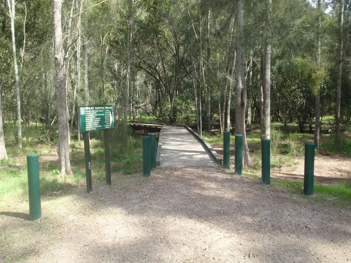
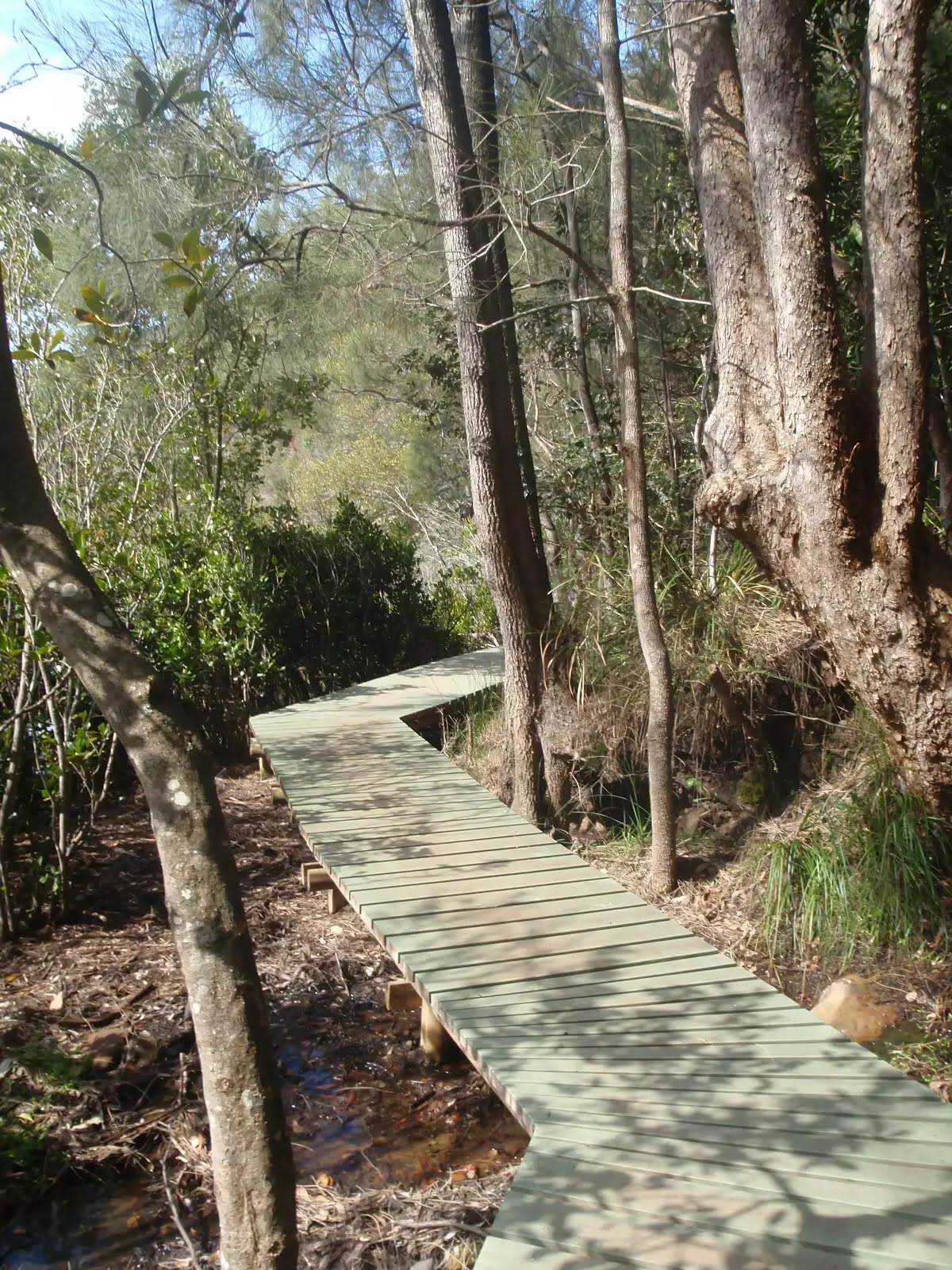
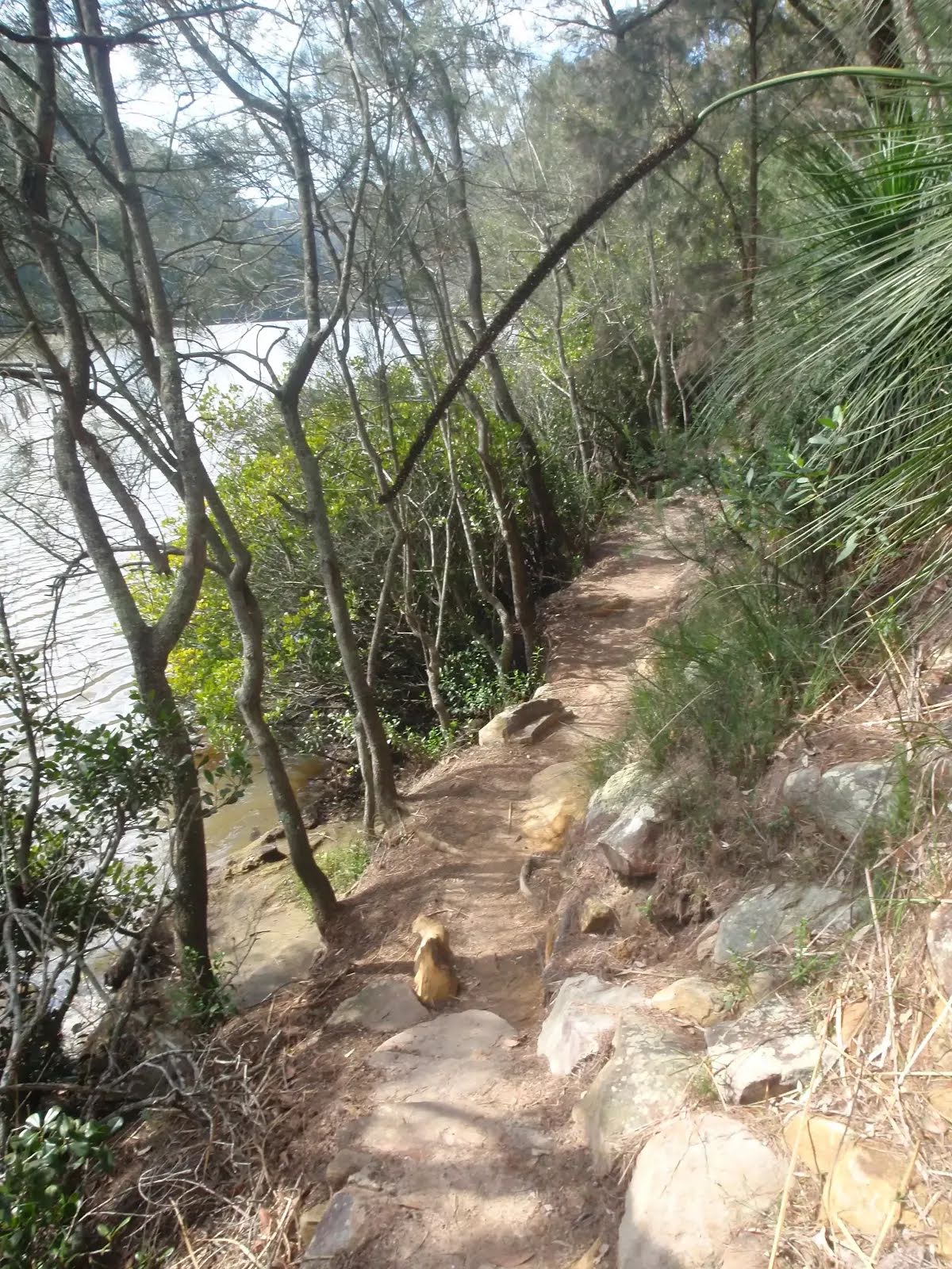
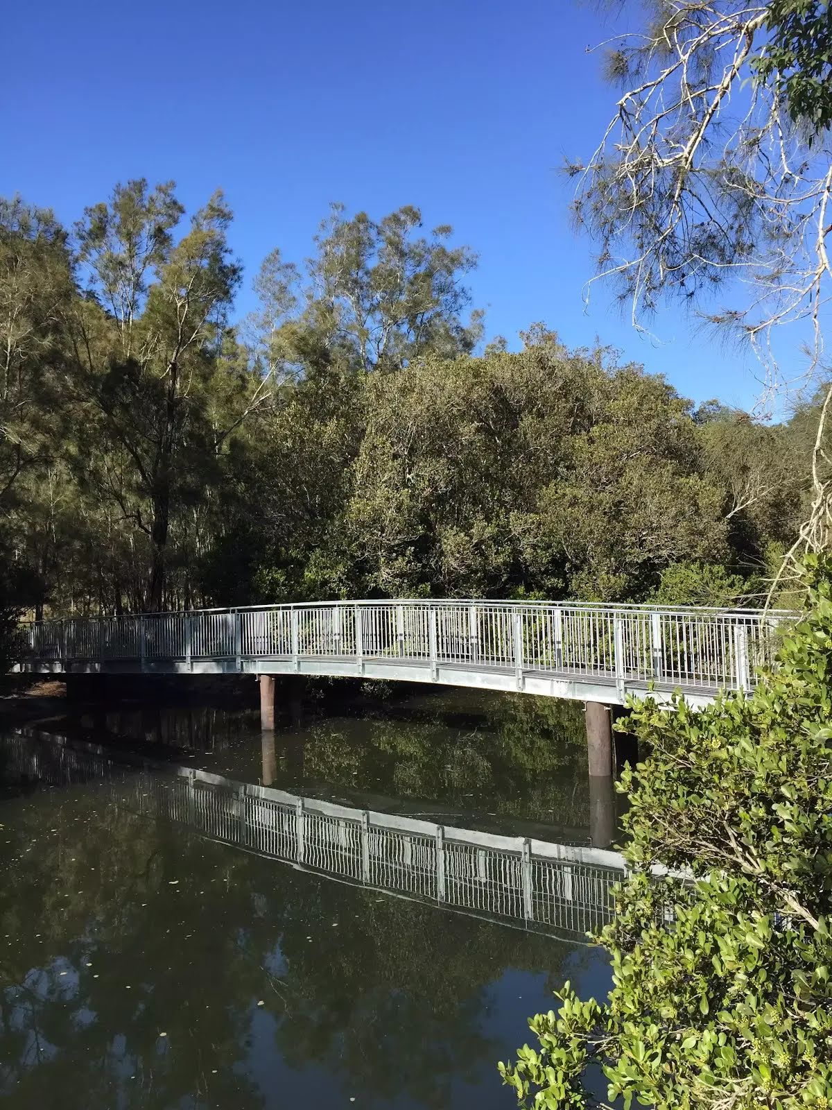
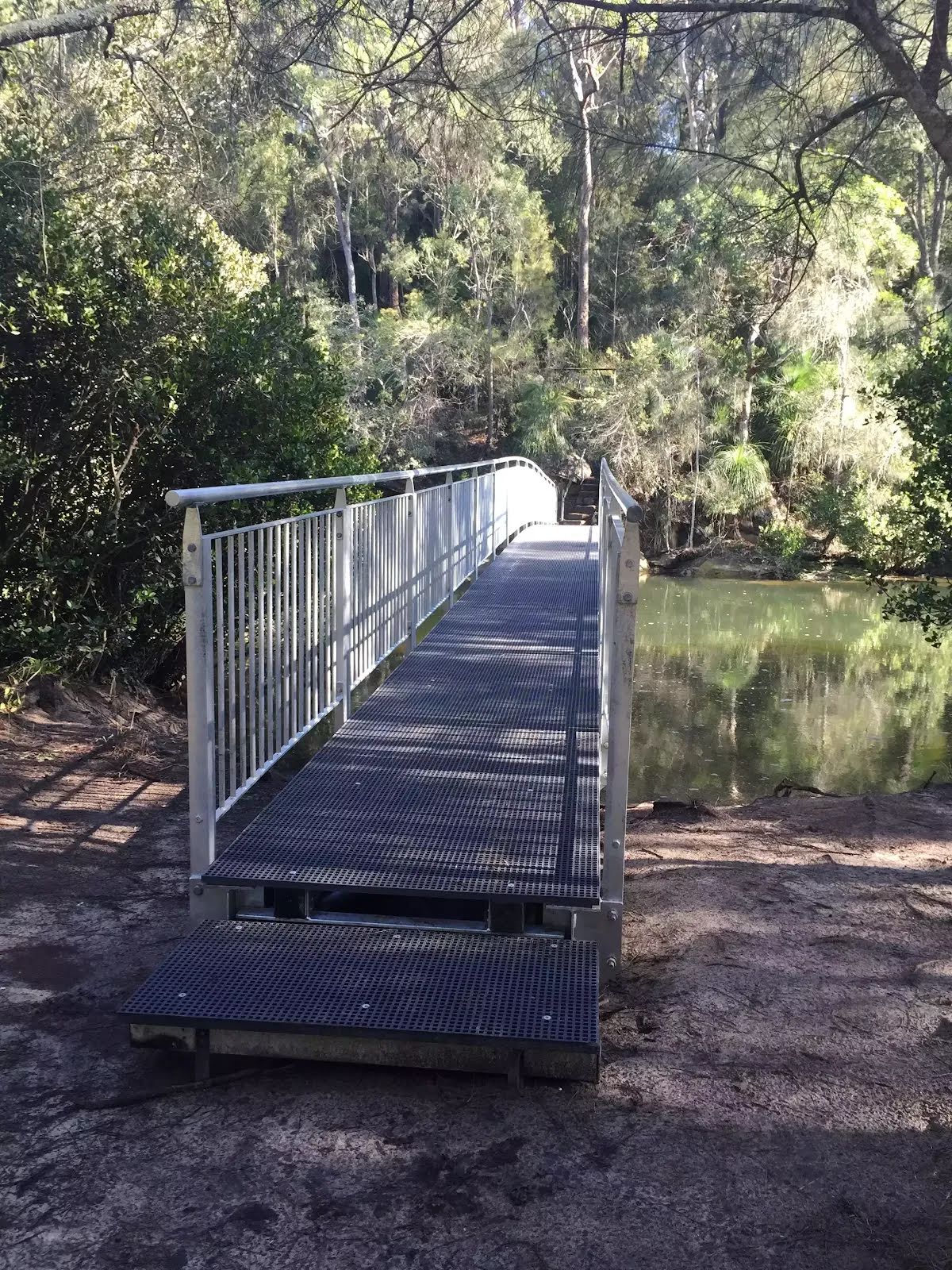
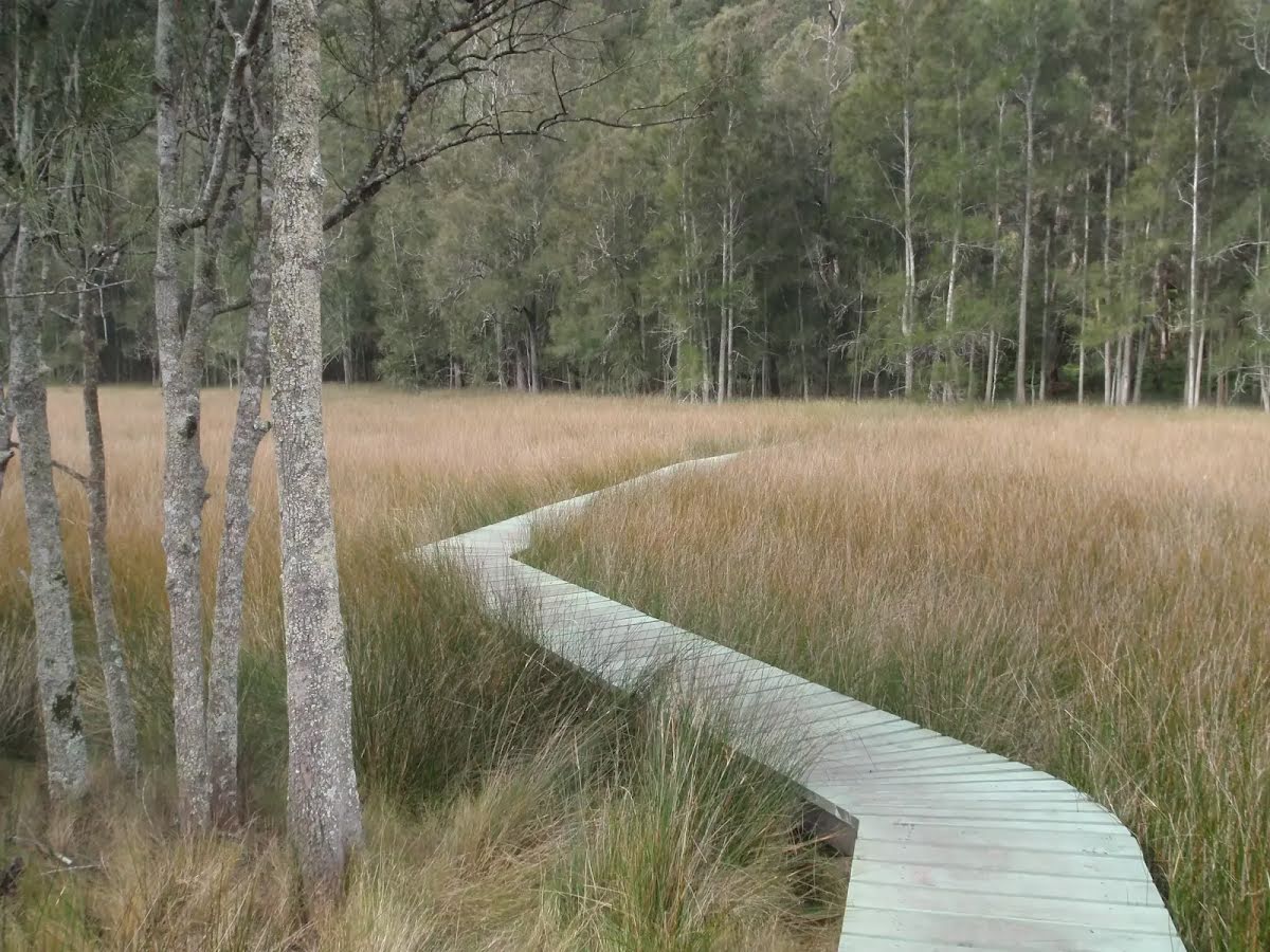
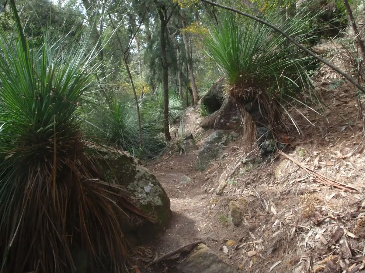
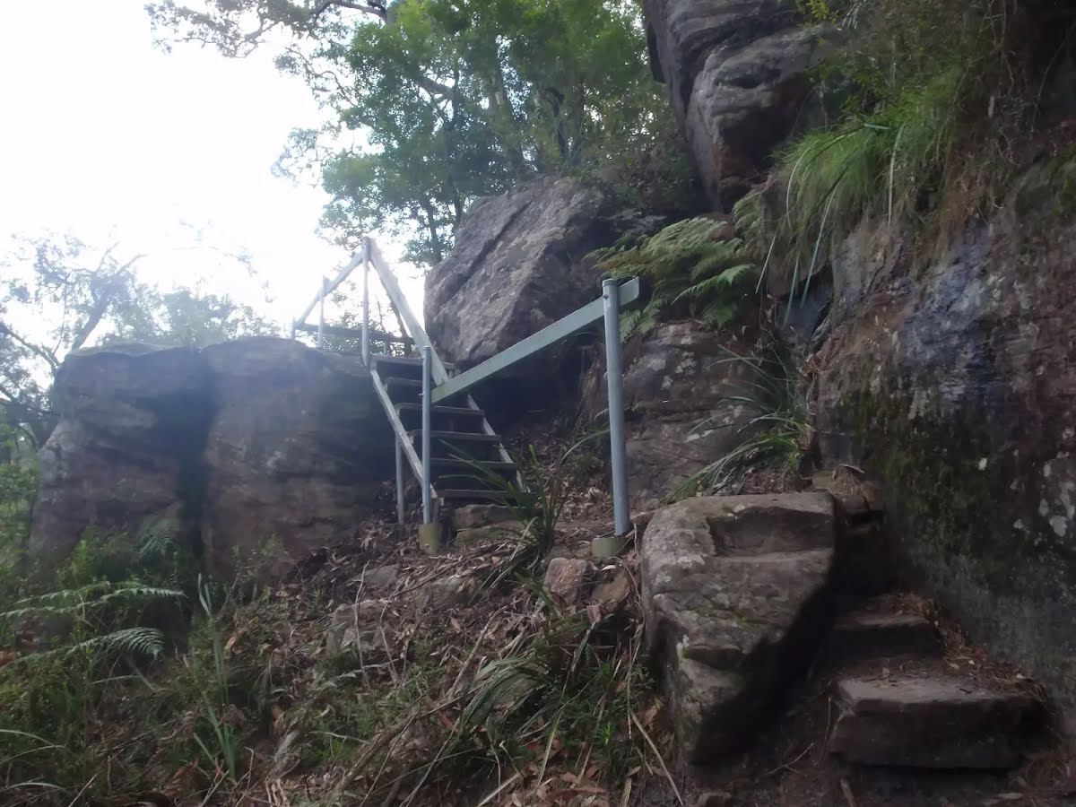
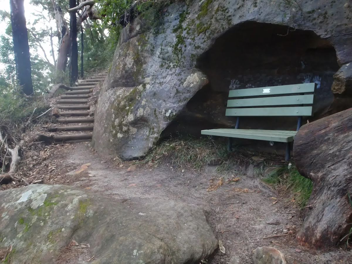
Class 4/6 Hard track |
|---|---|
| Length | 7.9 km |
| Time | 3 h 45 min to 5 h 15 min |
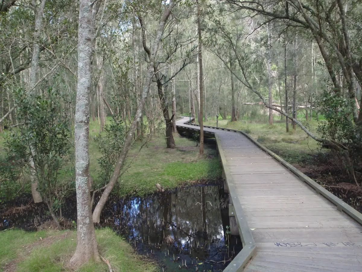
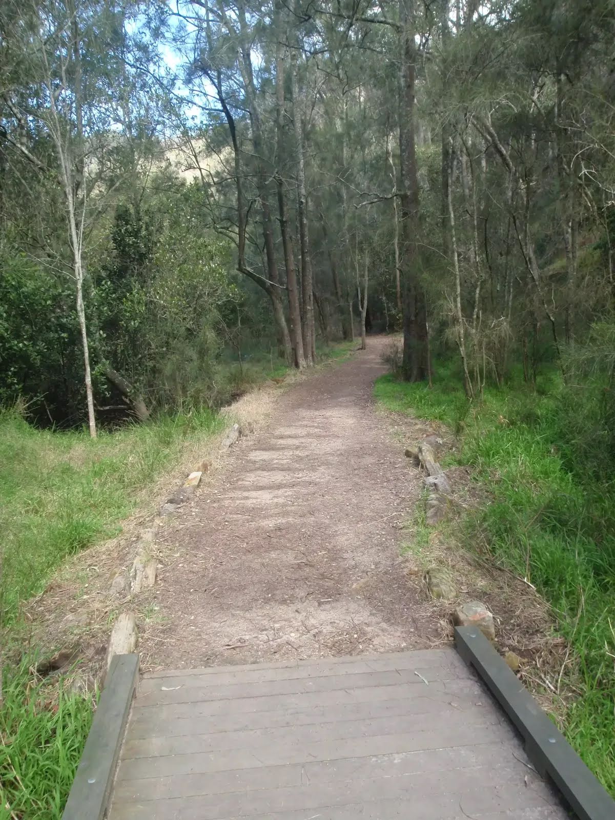
| Quality of track | Formed track, with some branches and other obstacles (3/6) |
| Gradient | Very steep (4/6) |
| Signage | Directional signs along the way (3/6) |
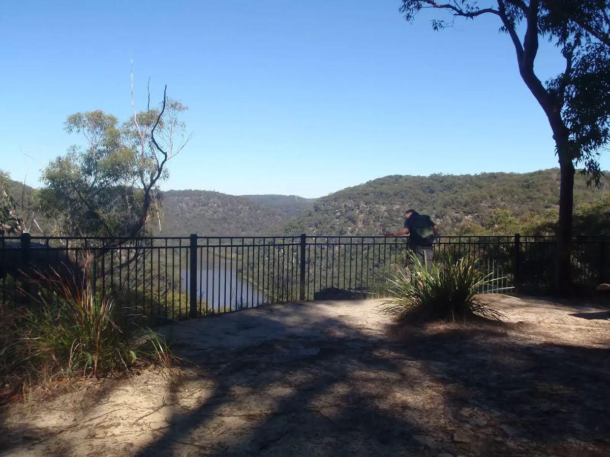
| Infrastructure | Limited facilities, not all cliffs are fenced (3/6) |
| Experience Required | Moderate level of bushwalking experience recommended (4/6) |
| Weather | Weather generally has little impact on safety (1/6) |
| Item | From Start | Name & link to notes |
|---|---|---|
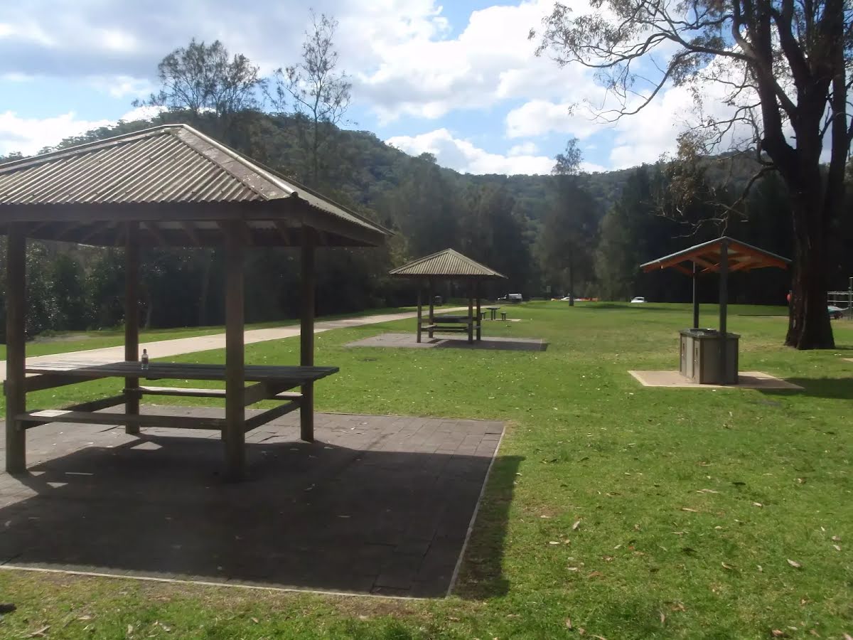
Campsite
| 40 m | Crosslands Youth & Convention Centre |
Camp site
| 50 m | Crosslands Youth Camp |
Shelter
| 500 m | [shelter] |
Toilet
| 540 m | [toilet] |
Entity|toilet
| 540 m | Toilet |
Seat
| 760 m | [seat] |
Seat
| 770 m | [seat] |
Seat
| 1.5 km | [seat] |
Campsite
| 1.6 km | Calna Creek Campsite (north) |
Seat
| 4 km | Seat |
Seat
| 4 km | [seat] |