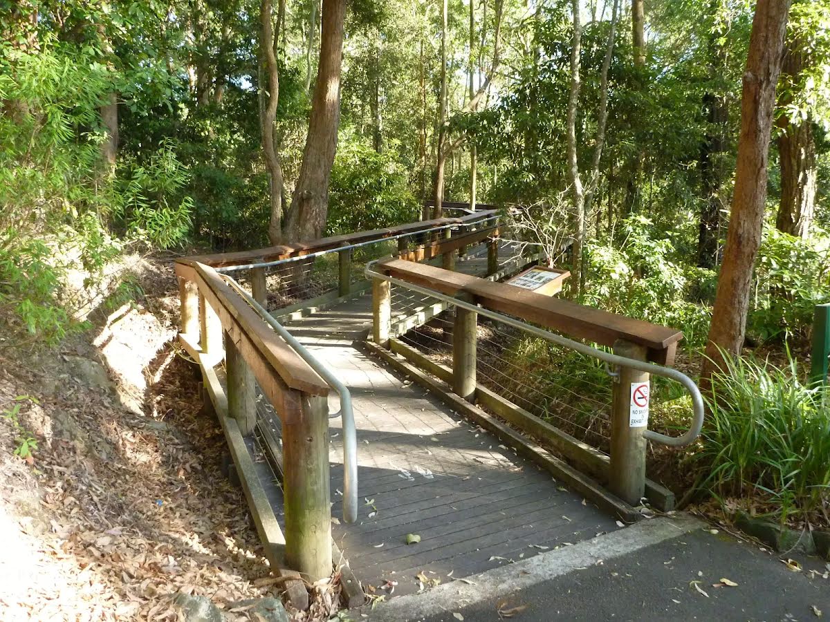
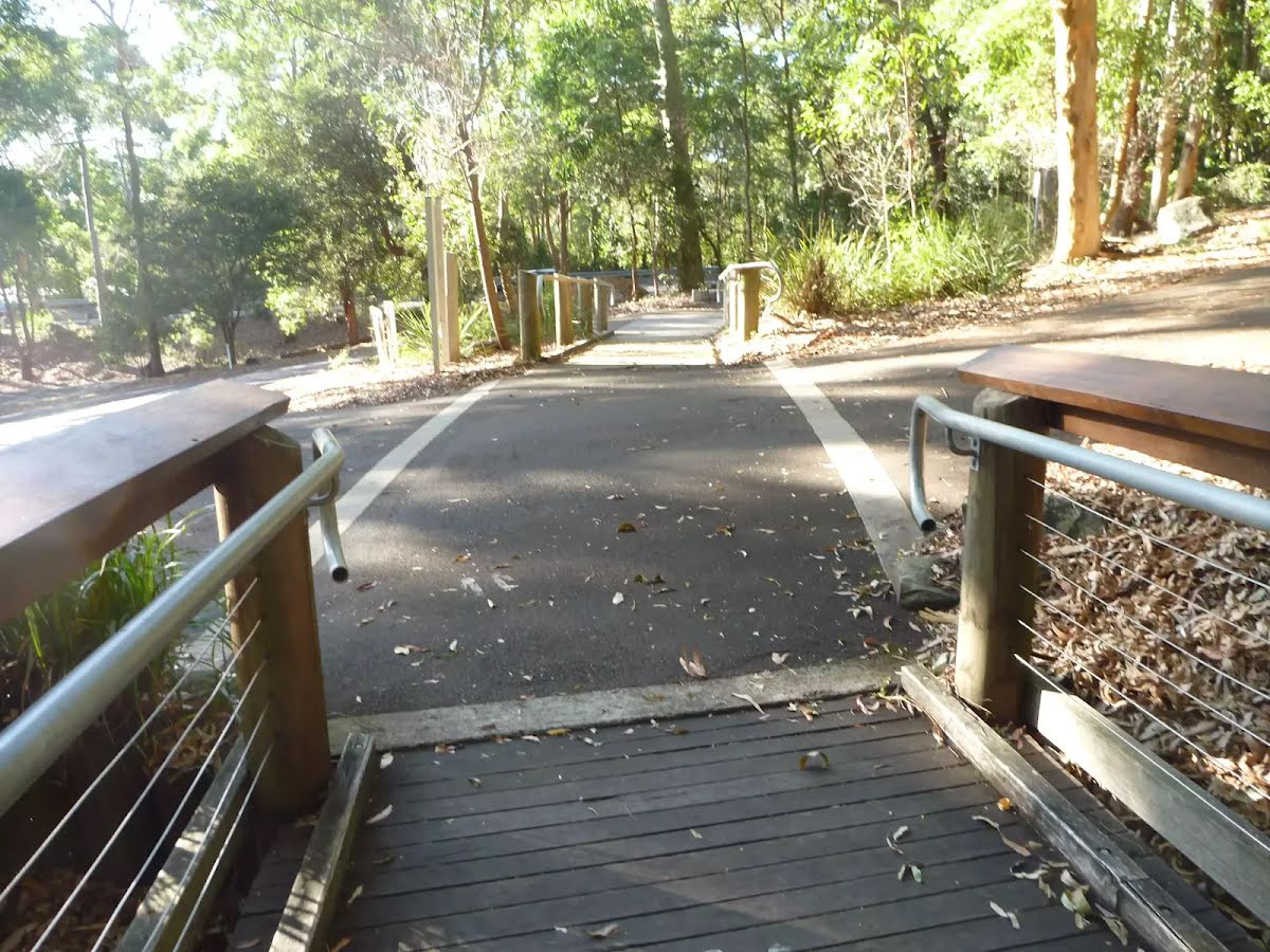
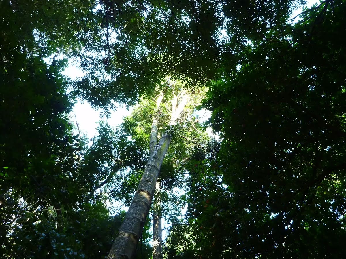
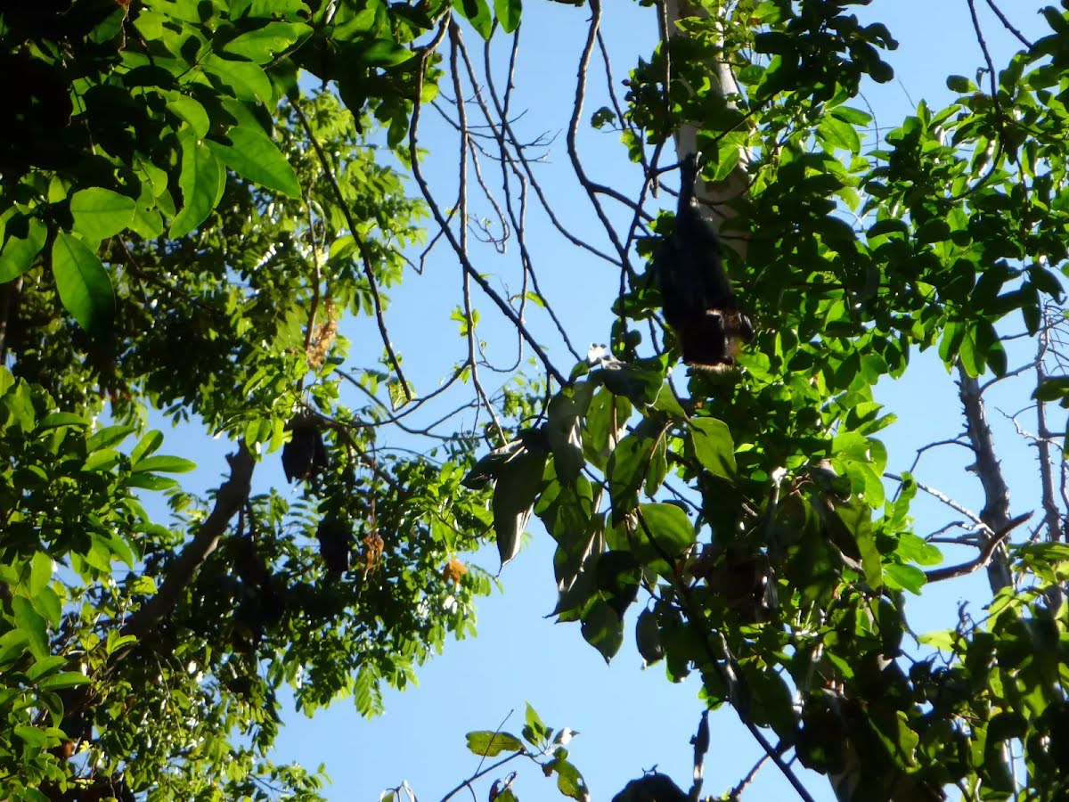
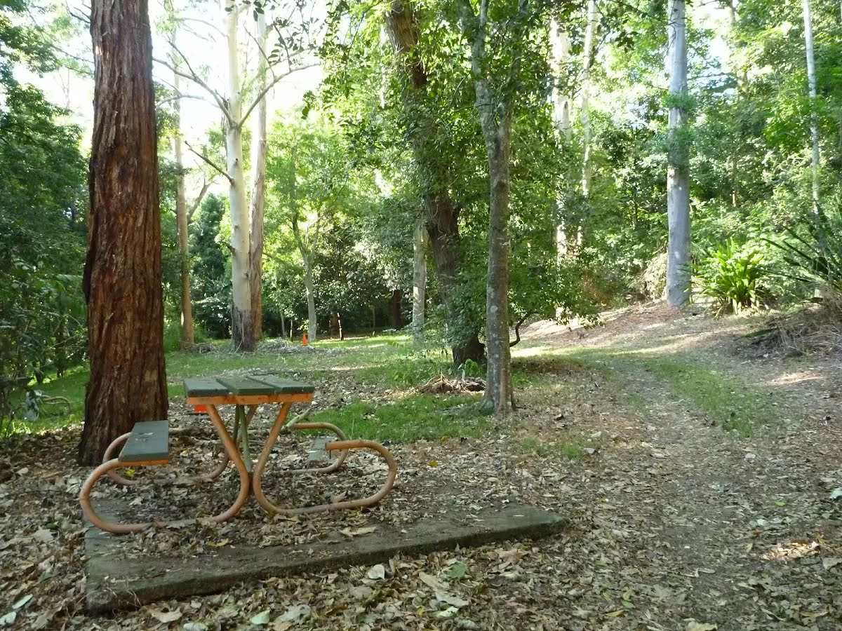
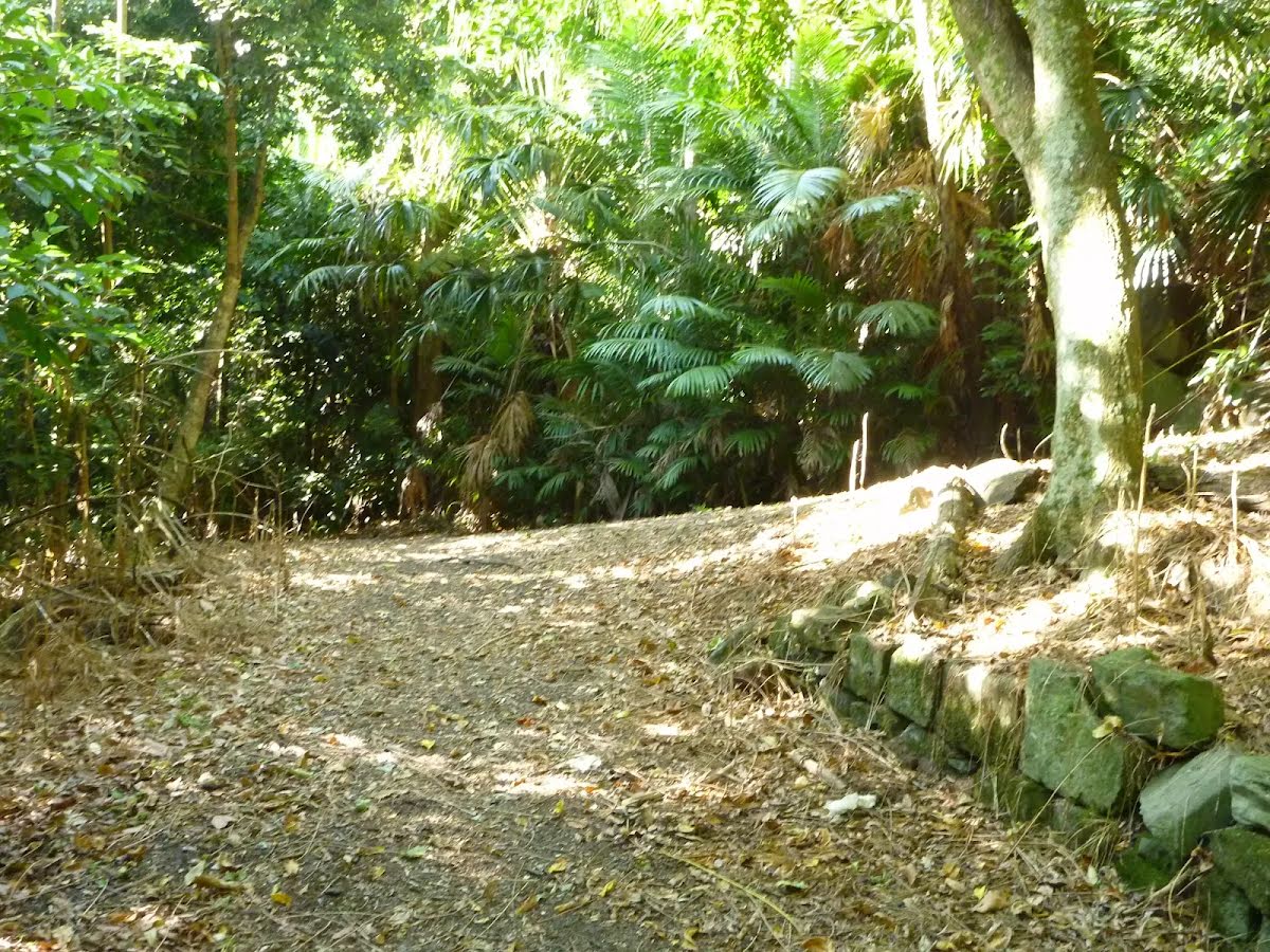
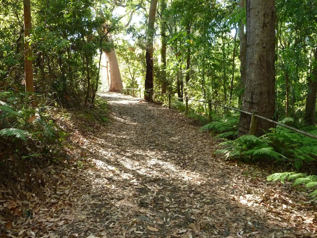
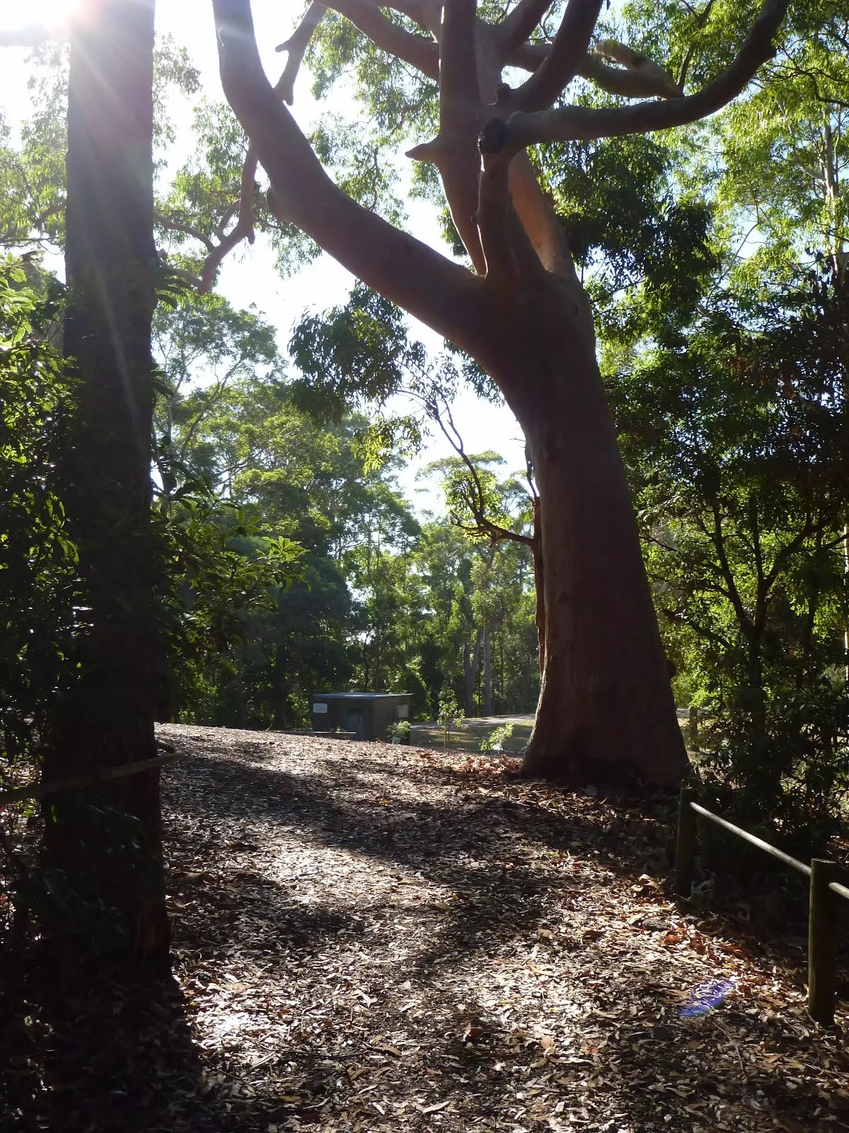
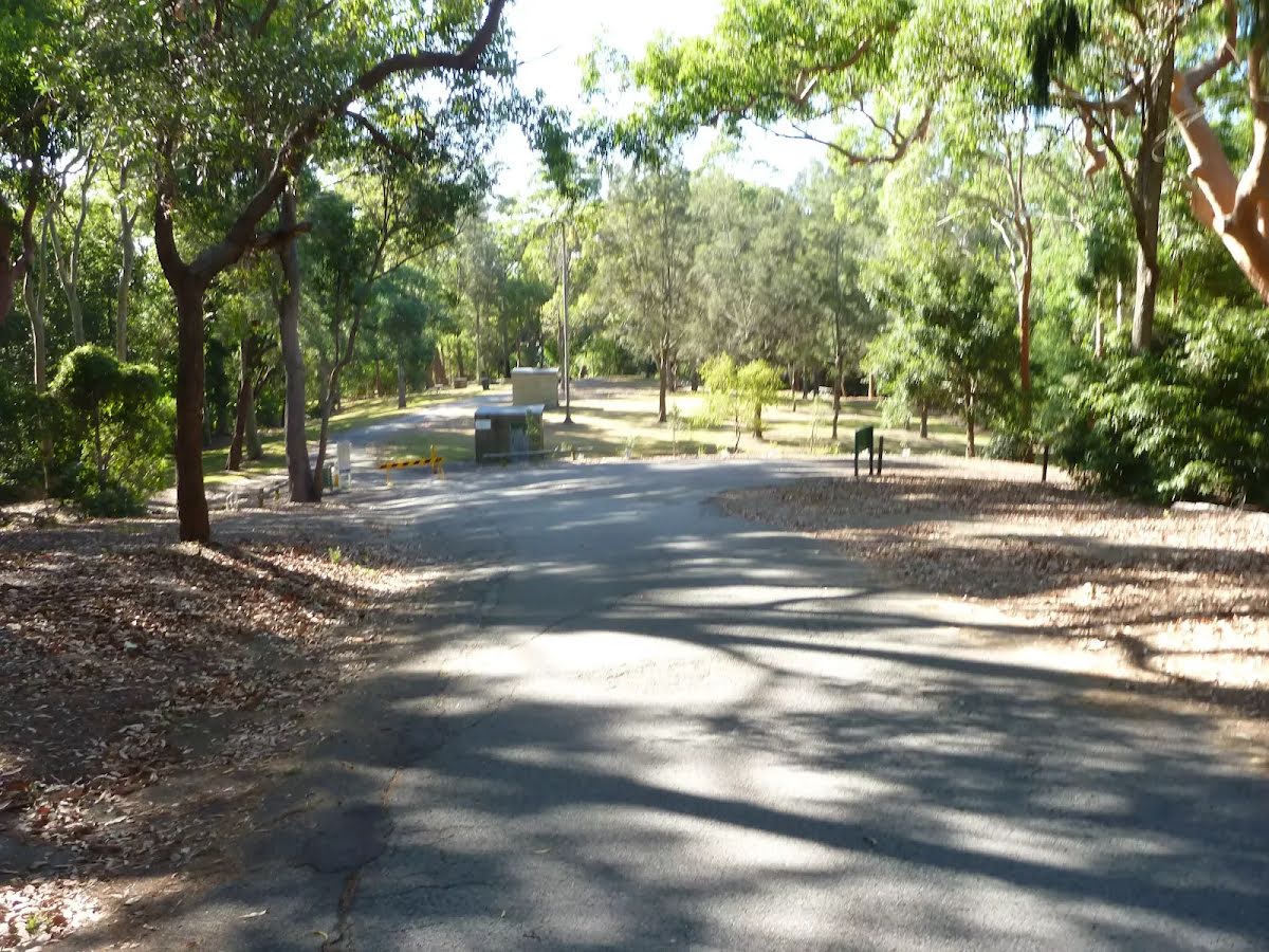
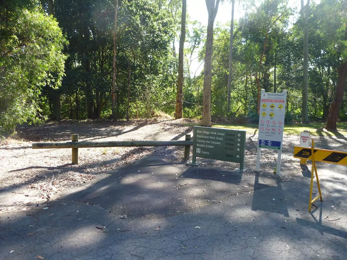
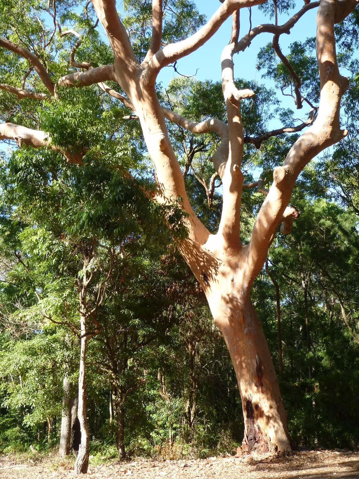
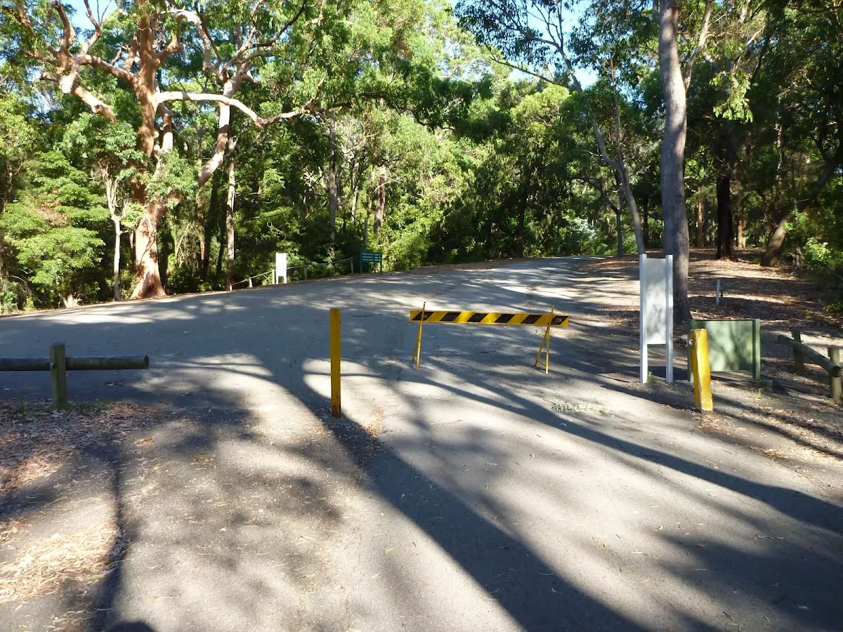
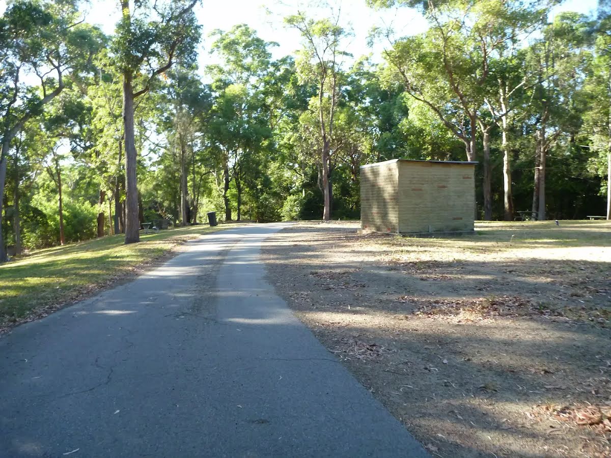
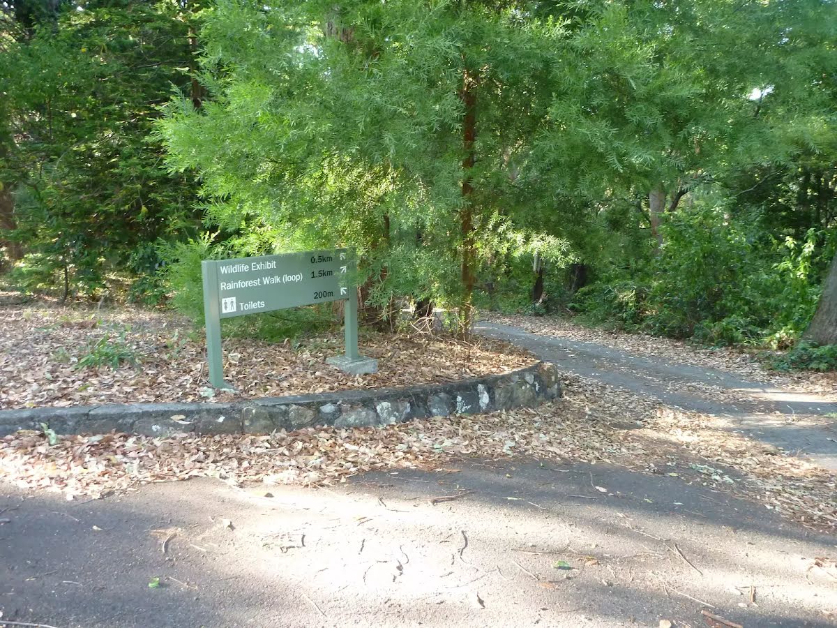
Rod Earp Rainforest Circuit (from Carnley Ave)
Awabakal & Worimi Country

50 min to 1 h

2 km
circuit

↑ 87 m
↓ -87 m

Moderate track
This walk takes the walker into a dense cool rainforest that seems a world away from the hustle and bustle of Newcastle city. You're likely to see flying foxes in the trees and, if you're lucky, a Powerful Owl. Starting and finishing at the Carnley Ave Reserve, this walk can easily be combined with a visit to the Wildlife Exhibits and/or a picnic at Carnley Ave Reserve. A recommended walk. Let us begin by acknowledging the Awabakal & Worimi people, Traditional Custodians of the land on which we travel today, and pay our respects to their Elders past and present. 
Show all
Wildlife Exhibit boardwalk entrance at Carnley Ave Reserve in Blackbutt Reserve. | Photo by admin, 2011.
Timber boardwalk into Wildlife Exhibit at Blackbutt Reserve. | Photo by admin, 2011.
Intersection near the entrance to the Wildlife Exhibits at Blackbutt Reserve. | Photo by admin, 2011.
Sealed trail towards the rainforest in Blackbutt Reserve. | Photo by admin, 2011.
Trail in the Blackbutt Reserve. | Photo by admin, 2011.
Intersection and sign in the Blackbutt Reserve . | Photo by admin, 2011.
Sealed trail in the Blackbutt Reserve. | Photo by admin, 2011.
Intersection and sign in the Blackbutt Reserve. | Photo by admin, 2011.
Closed toilet block in the Blackbutt Reserve. | Photo by admin, 2011.
Small picnic area in the Blackbutt Reserve. | Photo by admin, 2011.
A small picnic area at the Blackbutt Reserve. | Photo by admin, 2011.
A small pond and picnic area at the Blackbutt Reserve. | Photo by admin, 2011.
A minor intersection in Blackbutt Reserve. | Photo by admin, 2011.
Dense forest close to the Rain Forest Picnic Area in Blackbutt Reserve. | Photo by admin, 2011.
Tall Rain Forest in Blackbutt Reserve. | Photo by admin, 2011.
Forest trail in Blackbutt Reserve. | Photo by admin, 2011.
Views of the sky through trees in the Blackbutt Reserve. | Photo by admin, 2011.
Rain Forest sign in the Blackbutt Reserve. | Photo by admin, 2011.
Flying Foxes nesting in trees at the Rain Forest Picnic Area in Blackbutt Reserve. | Photo by admin, 2011.
The Rain Forest Picnic Area at Blackbutt Reserve. | Photo by admin, 2011.
Trail at Blackbutt Reserve. | Photo by admin, 2011.
Sign and trail at the Rain Forest Picnic Area in the Blackbutt Reserve. | Photo by admin, 2011.
Leafy trail close to the Rain Forest Picnic Area in the Blackbutt Reserve. | Photo by admin, 2011.
Timber fence by bridge over Rain Forest Creek in Blackbutt Reserve. | Photo by admin, 2011.
Timber fencing over Rain Forest Creek in Blackbutt Reserve. | Photo by admin, 2011.
Timber sign in Blackbutt Reserve. | Photo by admin, 2011.
Uphill track in the Blackbutt Reserve. | Photo by admin, 2011.
A clearing under a large tree near Lookout Rd in the Blackbutt Reserve. | Photo by admin, 2011.
The end of Lookout Road in the Blackbutt Reserve. | Photo by admin, 2011.
An intersection at the end of Lookout Rd in the Blackbutt Reserve. | Photo by admin, 2011.
Beautiful large tree at the end of Lookout Rd in the Blackbutt Reserve. | Photo by admin, 2011.
The end of Lookout Rd in the Blackbutt Reserve. | Photo by admin, 2011.
Old brick building in the Blackbutt Reserve. | Photo by admin, 2011.
Intersection and trails in the Blackbutt Reserve. | Photo by admin, 2011.
Old picnic area in the Blackbutt Reserve. | Photo by admin, 2011.
Intersection and sign in the Blackbutt Reserve. | Photo by admin, 2011.
Downloads GPX PDF

+
-
Safer Bushwalks
Tips on staying safe on track
Before you start any bushwalk ensure you;
• Tell someone you trust where you are going and what to do if you are overdue
• Have adequate equipment, supplies, skills & knowledge for the whole journey
• Consider the impact of weather forecasts, park/track closures & fire dangers
• Can respond to emergencies & call for help at any point
• Are healthy and fit enough for this journey
If not, change plans and stay safe. It is okay to delay and ask people for help.
+
-
Getting There
Transport options and directions
Start (-32.9379544,151.6981087)
Mode Bus Car (There is free parking available.)
DirectionsFrom Charlestown Road, A37
  • Turn on to Carnley Avenue then drive for 1.2 km
  • Turn left and drive for another 50 m
  • Turn slight left and drive for another 170 m
+
-
Track Notes
Turn by turn instructions & maps
Getting started
From the intersection, this walk follows the sealed road gently uphill, while initially keeping the timber fenced boardwalk to the Wildlife Exhibits on your right. This walk continues through forest for about 140m until coming to a three-way intersection, with a 'Lookout Road Carpark 400m' sign (on the right).
Continue straight: From the intersection, this walk follows the 'Rainforest Walk' sign and sealed road gently downhill. This walk continues undulating for about 260m until coming to a three-way intersection, with a sealed road (on the right) and a 'Rainforest Walk to Lookout Rd Carpark' sign (on the left).....
Turn map Directions & comments
Start.
After another 140 m continue straight.
After another 235 m turn left, to head along Forest Walk.
After another 110 m pass the BBQ (10 m on your left).
After another 40 m (at the intersection of Rainforest Walk & Forest Walk) turn right, to head along Rainforest Walk (a footpath).
After another 350 m come to the "Flying Foxes" (6 m on your right).
After another 55 m find the "Rod Earp Rainforest Picnic Area" (25 m on your left).
Rod Earp Rainforest Picnic Area

This secluded, dense rainforest within Blackbutt Reserve has bench seats and a picnic table. The forest in this area hosts a large population of grey-headed flying foxes. These large bats migrate for food and then return to roost during the day. Watch out for the bat guano the ground. This picnic area feels a world away from downtown Newcastle.
+
-
This secluded, dense rainforest within Blackbutt Reserve has bench seats and a picnic table. The forest in this area hosts a large population of grey-headed flying foxes. These large bats migrate for food and then return to roost during the day. Watch out for the bat guano the ground. This picnic area feels a world away from downtown Newcastle.

After another 410 m veer right.
After another 20 m head through/around the gate.
After another 15 m continue straight.
After another 35 m pass the water tap (20 m on your left).
After another 35 m pass the BBQ (25 m on your left).
After another 110 m continue straight.
After another 130 m pass the BBQ (10 m on your left).
After another 25 m pass the water tap (on your right).
Veer left.
After another 235 m continue straight.
After another 135 m come to the end.
+
-
Terrain
Know the Hills, grading & facilities

Rod Earp Rainforest Circuit (from Carnley Ave)


Grading
Class 3/6
Moderate track
Length 2 km
Time 50 min to 1 h
Quality of track Clear and well formed track or trail (2/6)
Gradient Gentle hills with occasional steps (2/6)
Signage Directional signs along the way (3/6)
Infrastructure Generally useful facilities (such as fenced cliffs and seats) (1/6)
Experience Required No experience required (1/6)
Weather Weather generally has little impact on safety (1/6)
+
-
Articles
Discover more details to thrive on track
Get more information
Wildwalks
+
-
Reviews & Feedback
Share your experience
+
-
Weather & Alerts
Check forecasts & closures
Show Full Weather
Alerts and Closures
Show all alerts
Show all alerts
Show all alerts
+
-
Other Journeys
Discover nearby and similar journeys
Some of the information and maps on this page was generated using data from the awesome © OpenStreetMap contributors.
Please see how you can embed some widgets, access data and other stuff to that might be helpful.