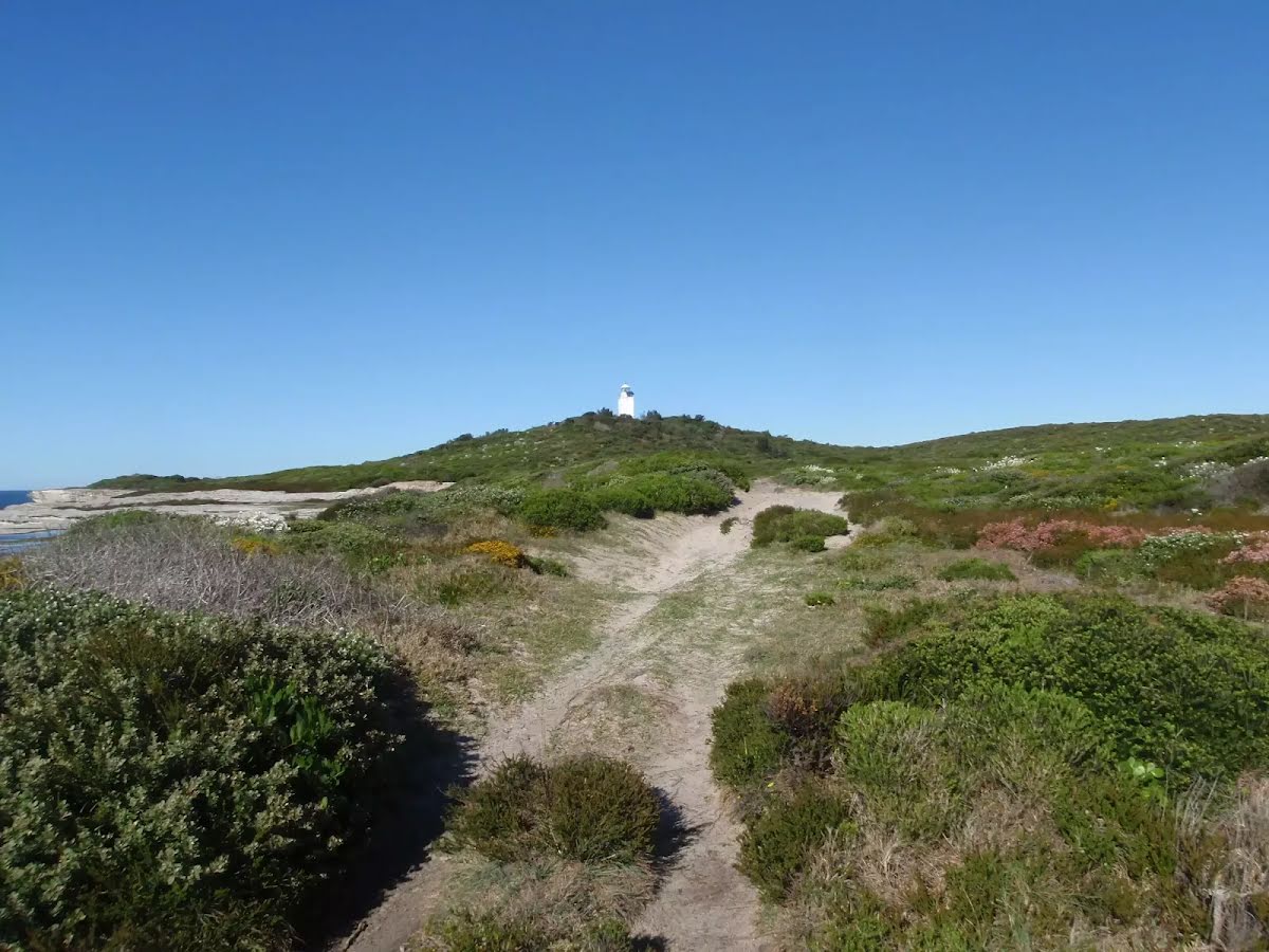
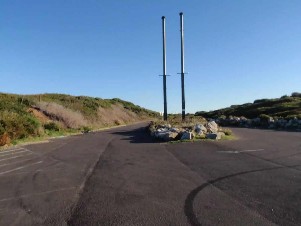
Closed areas: Congwong fire trail closed for maintenanceCongwong Fire Trail will be closed for maintenance on Tuesday 22 October 2024.
Penalties apply for non-compliance. For more information, contact the NPWS Sydney South Area office on 02 9337 5511.
Closed areas: Road and car park closedThe Kurnell Visitor Centre loop road and Commemoration Flat car park will be closed for one day, Thursday 17 October 2024, to allow delivery of materials and equipment required for the new visitor centre construction project. Traffic control will be established and pedestrian detours will be in place for visitors wishing to access Commemoration Flat.
Cricket Pitch car park and toilets will remain open.
Email or call the local area office on 02 9668 2010 to learn more about the improvements being made as part of the
Kamay 2020 Master Plan Project.
Closed areas: Cricket Pitch carpark and amenitiesContractors will be demolishing and replacing the amenities block at Cricket Pitch and upgrading the carpark from mid October 2024 to February 2025. During these construction works the precinct will be fenced off and work crews will be on site.
Toilets and parking will remain available at Commemoration Flat.
We apologise for any inconvenience.
Email or call the local area office on 02 9668 2010 to learn more about the improvements being made as part of the
Kamay 2020 Master Plan Project.
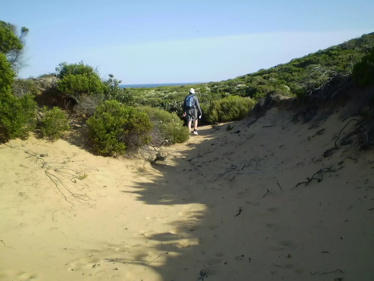
Closed areas: Kurnell Visitor CentreKurnell Visitor Centre is currently closed until 2026. A new visitor centre is under construction. During these construction works the precinct, including parking, will be fenced off and work crews will be on site. Access to some walking tracks will be impacted. Please refer to onsite signage.
Parking and toilets will be available at Commemoration Flat.
We apologise for any inconvenience.
Email or call the local area office on 02 9668 2010 to learn more about the improvements being made as part of the
Kamay 2020 Master Plan Project.
Closed areas: Works at Commemoration FlatServices and pathways at Commemoration Flat are being upgraded from October 2024 to 2026. The picnic area remains open with limited closures, as work areas are fenced off and work crews are on site.
The toilets and carpark will remain open, with a reduced number of parking spaces available. Access to some walking tracks will be impacted. Please refer to onsite signage.
We apologise for any inconvenience.
Email or call the local area office on 02 9668 2010 to learn more about the improvements being made as part of the
Kamay 2020 Master Plan Project.
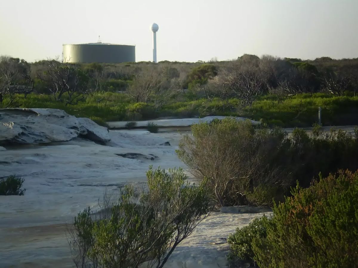
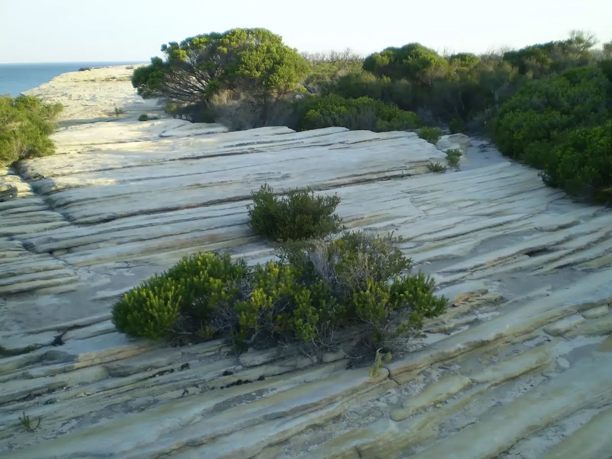
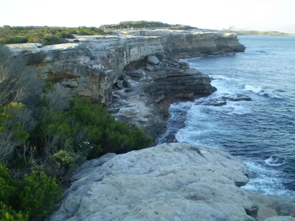
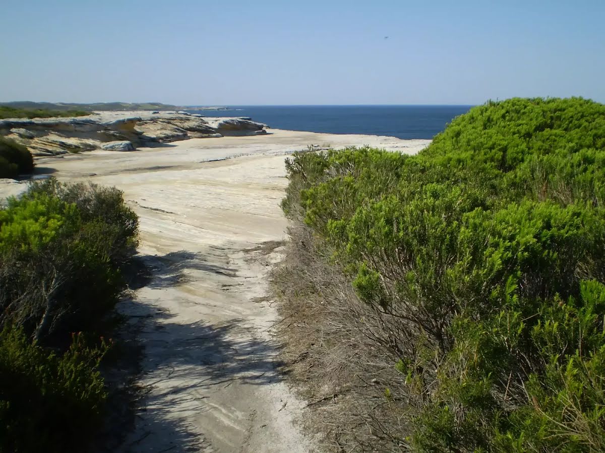
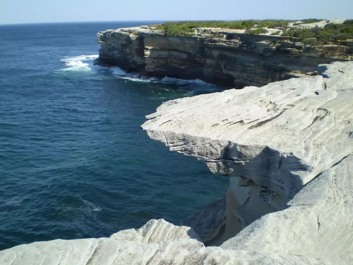
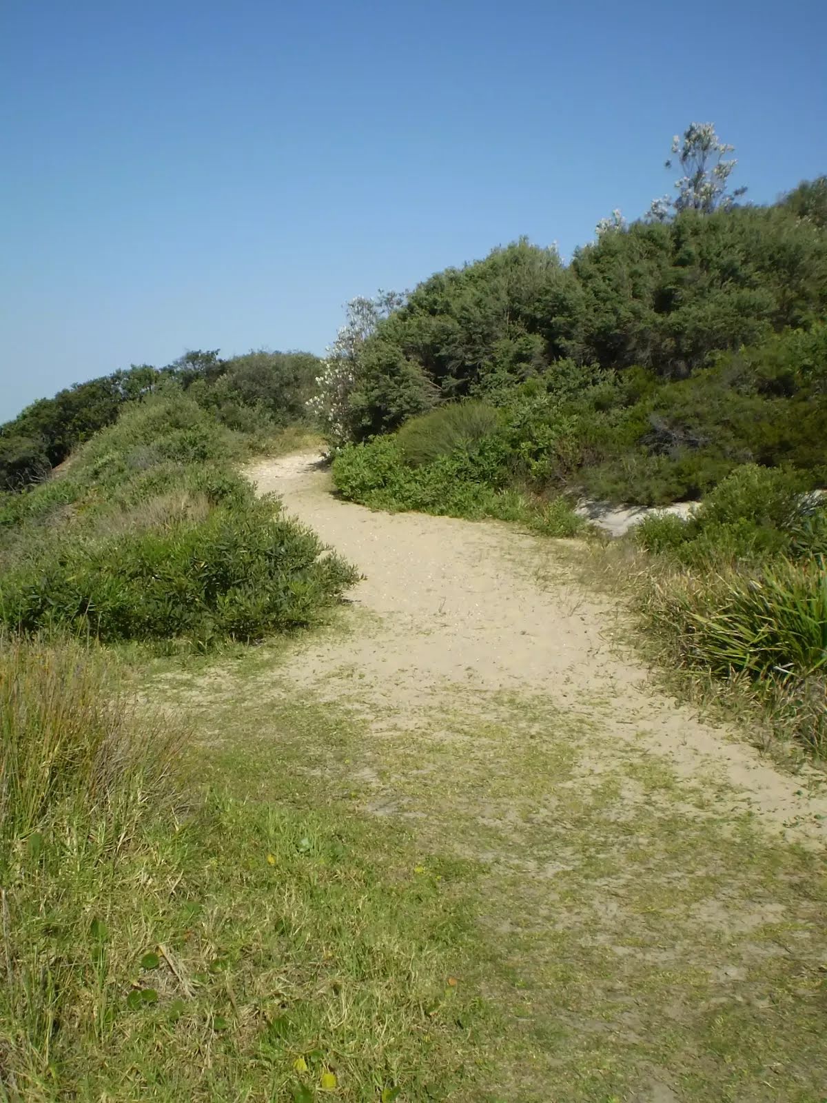
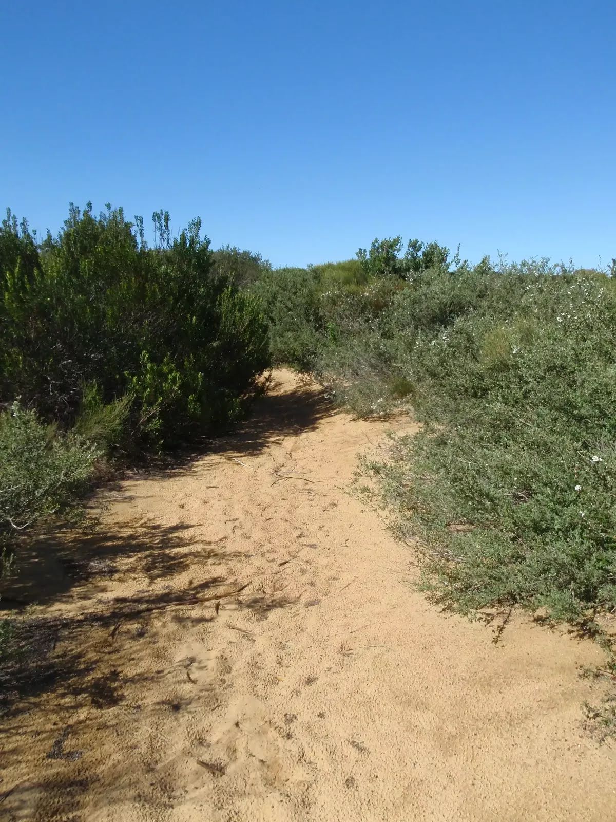
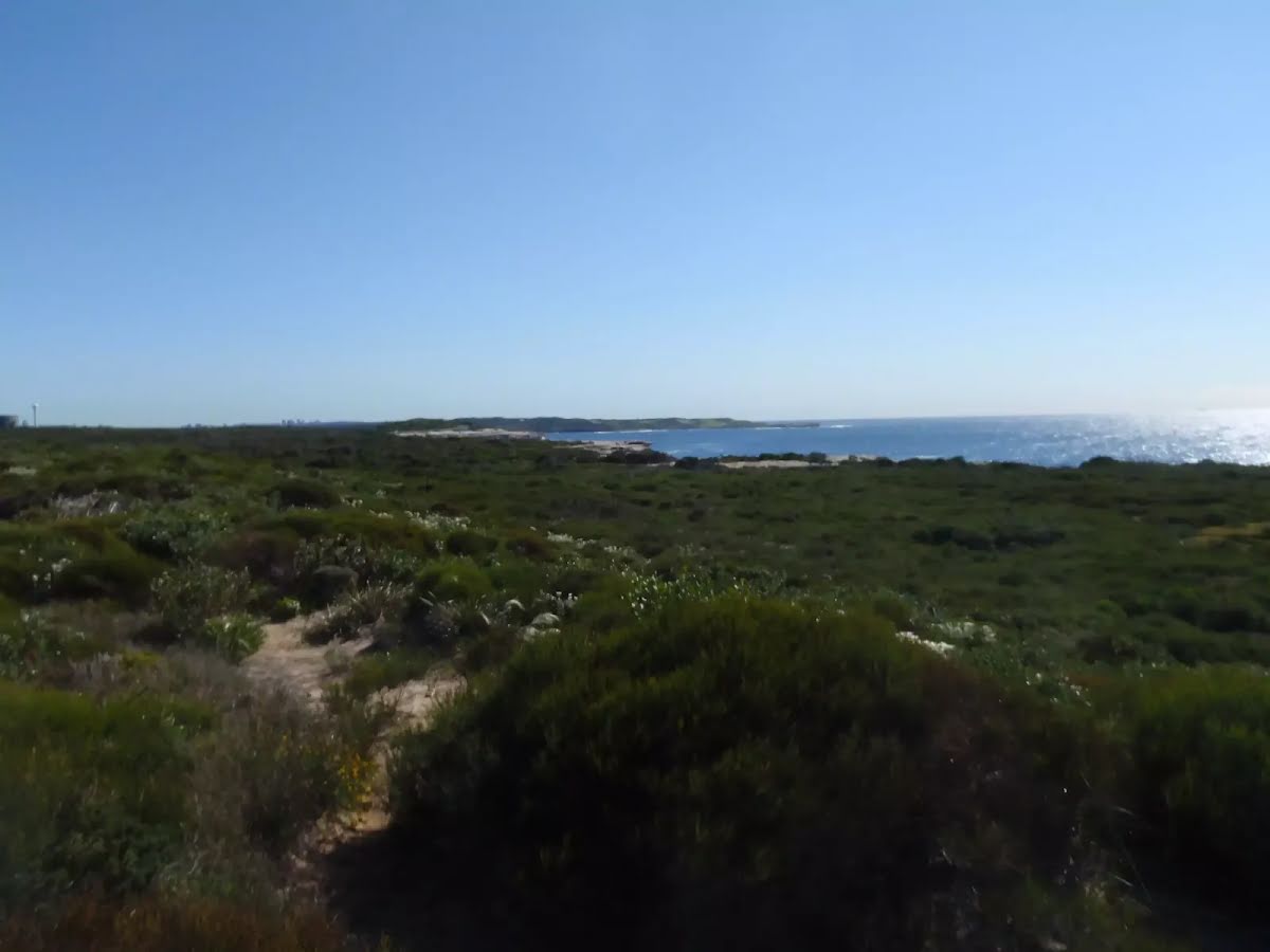
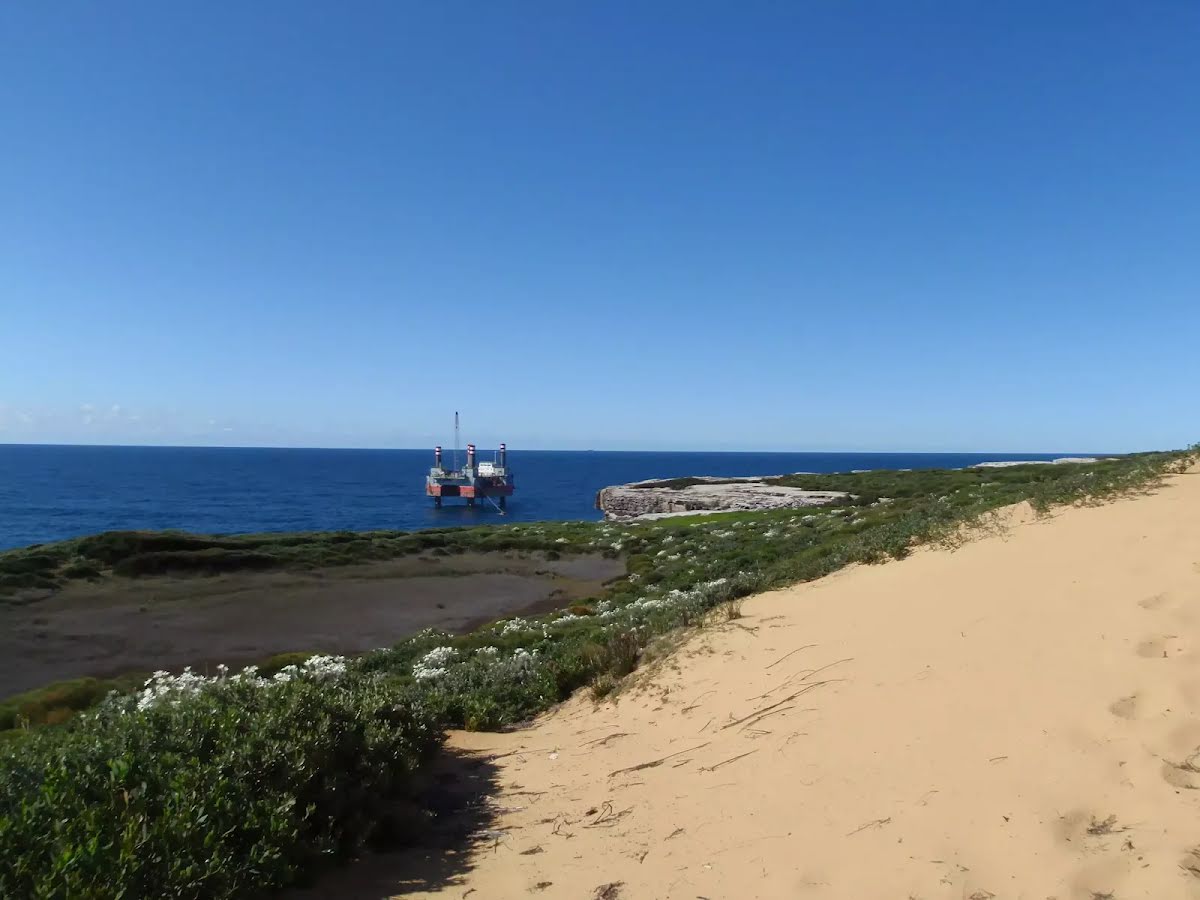
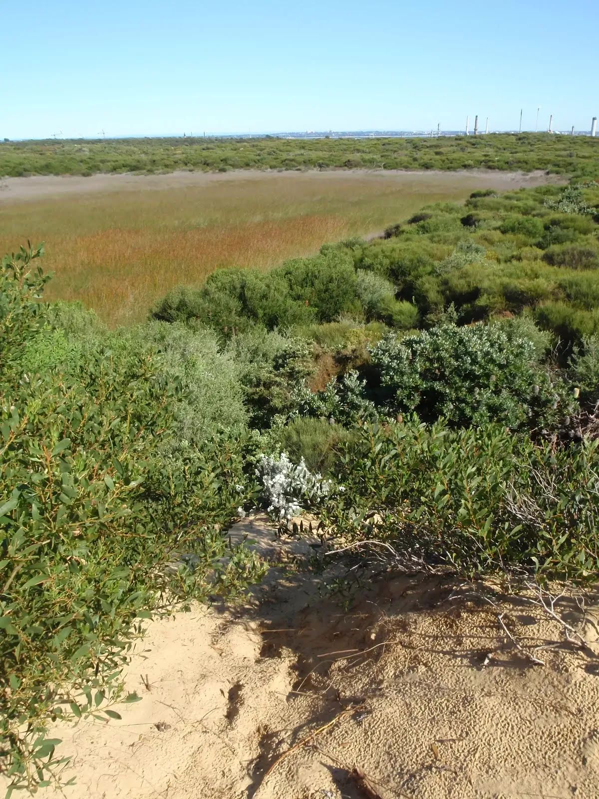
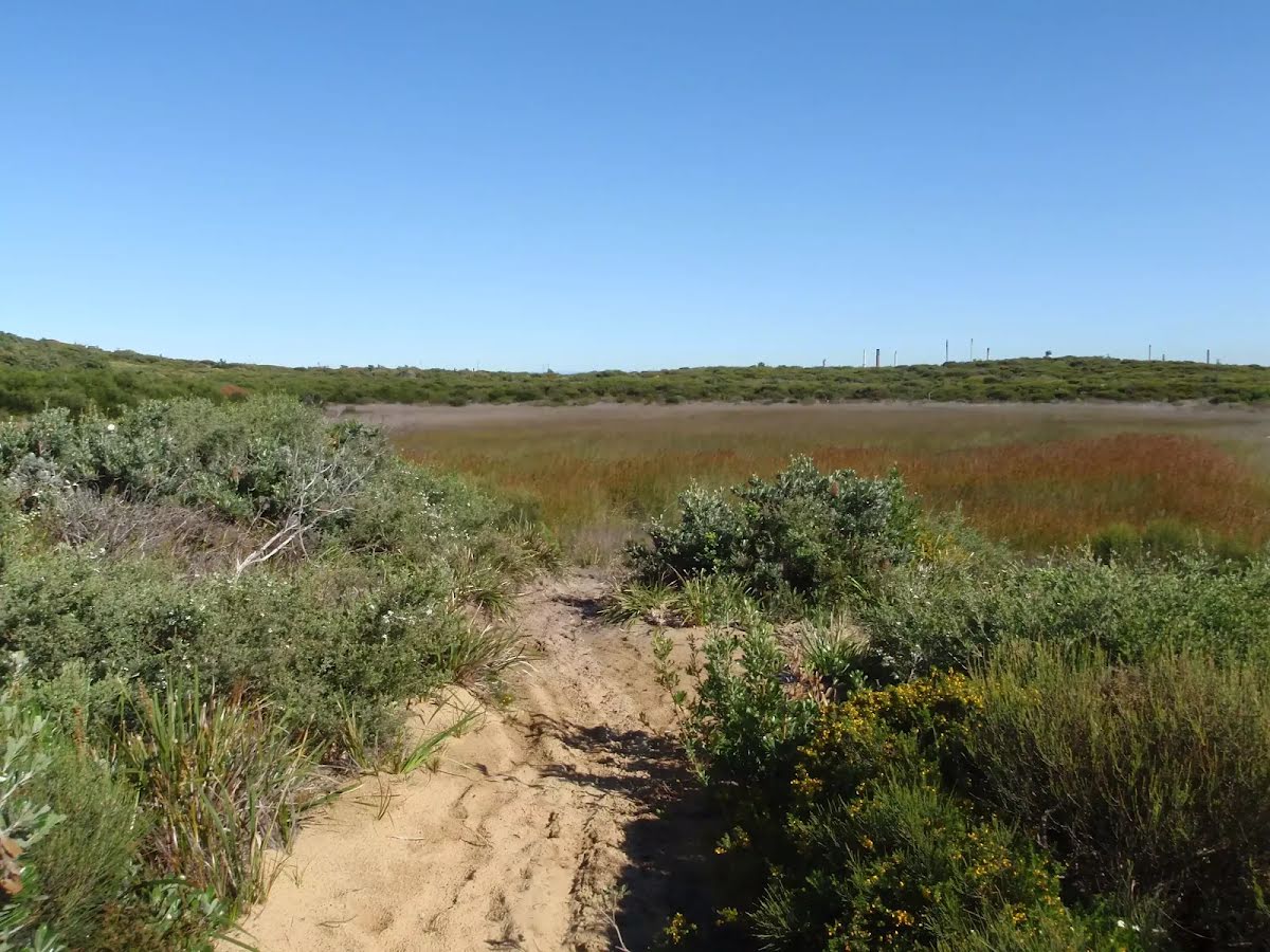
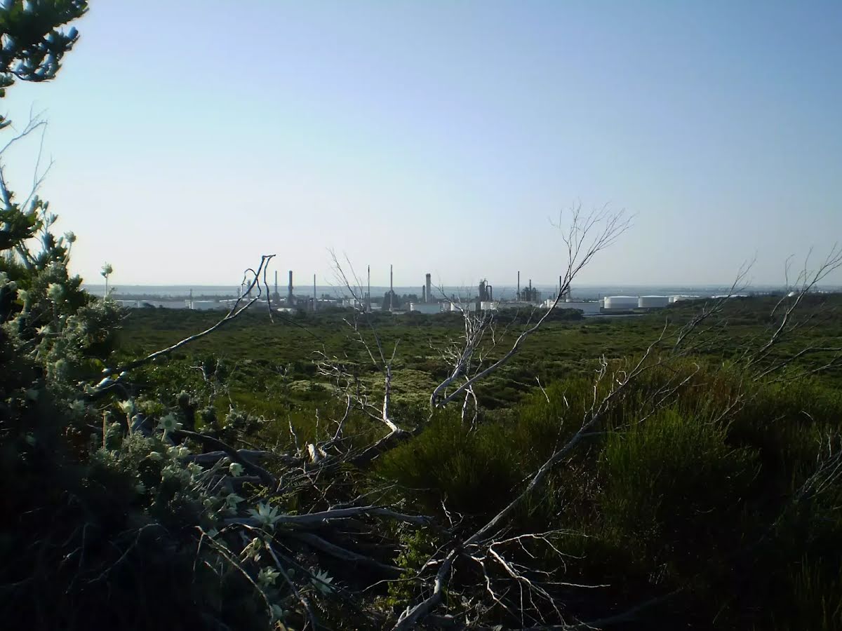
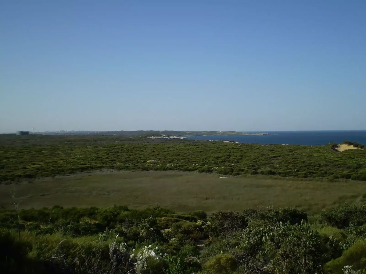
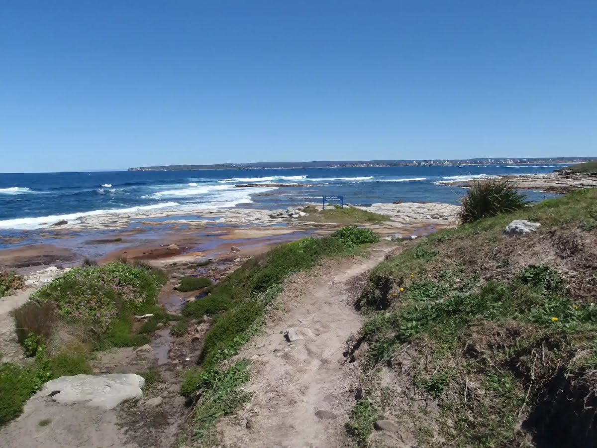
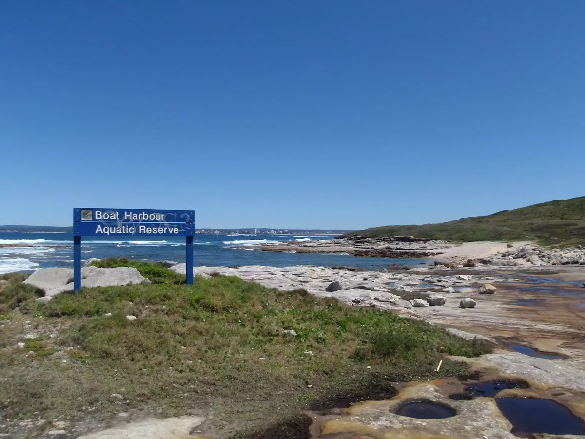
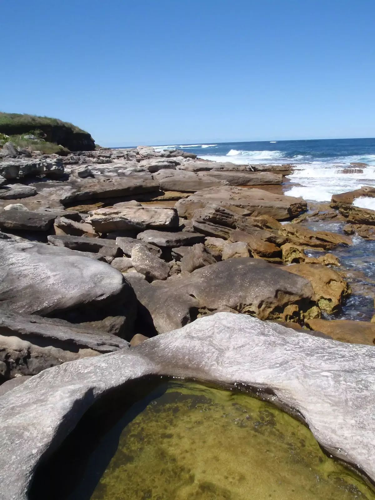
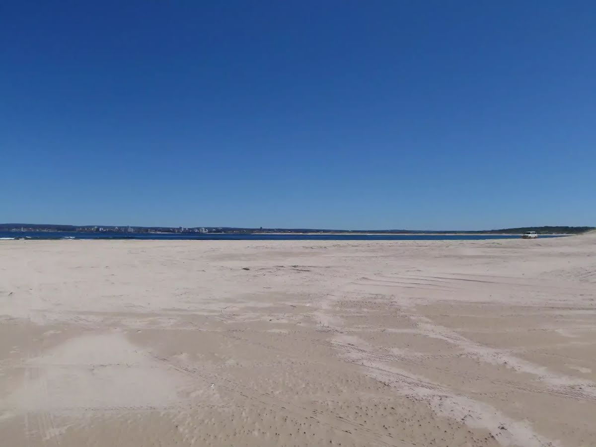
Closed areas: Kurnell foreshore partial closureTransport for NSW is constructing ferry wharves at Kurnell and La Perouse. Closures will be in place until late 2024. There will be no public access to the foreshore area between Prince Charles Parade and the wharf along Monument walking track. Alternative pedestrian pathways will be in place to allow public access into Kamay Botany Bay National Park.
For more information visit the
Kamay Ferry Wharves project webpage.
Alert kindly provided by © NSW Nataional Parks and Wildlife Service