


| Start | (-33.7907245,151.1560663) |
| Mode | Bus Car (A park entry fee is required for driving into the park.) |
| Directions | From Lane Cove Road, A3
|
| Finish | (-33.7769578,151.1379609) |
| Mode (end) | Car Shuttle Bus Car (A park entry fee is required for driving into the park.) |

|
|
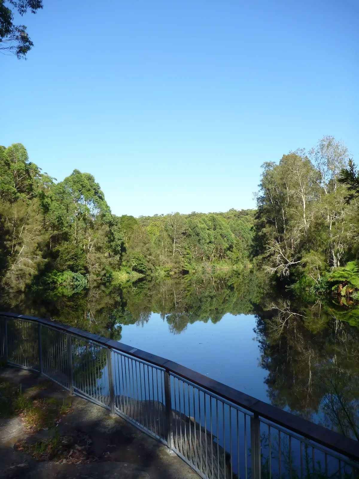
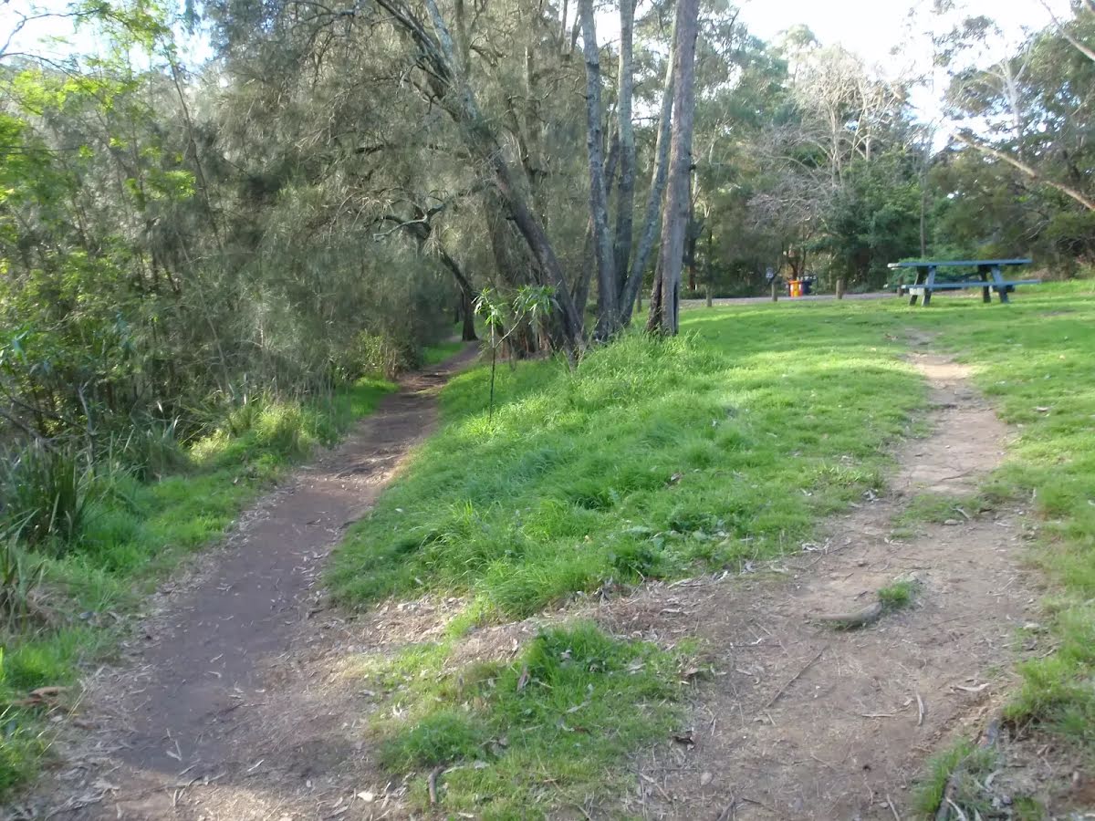
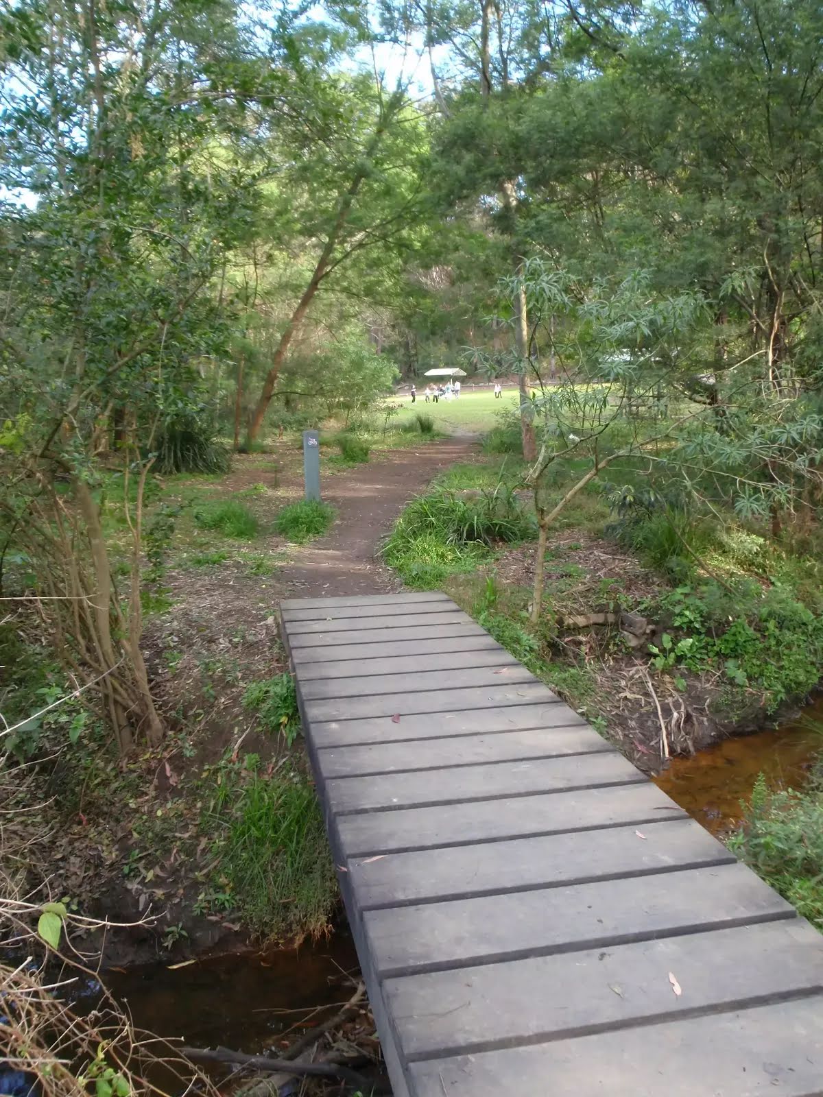
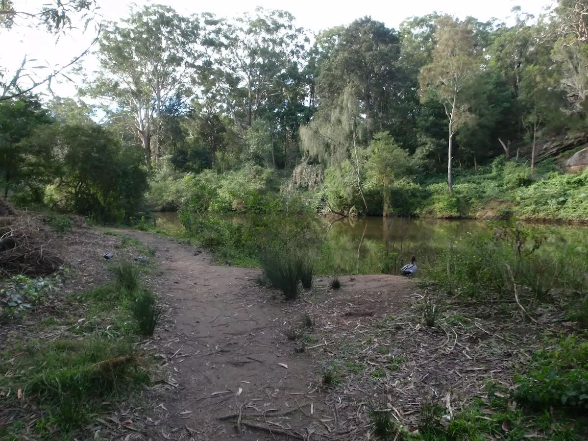
Class 4/6 Hard track |
|---|---|
| Length | 5.2 km |
| Time | 1 h 45 min to 2 h |
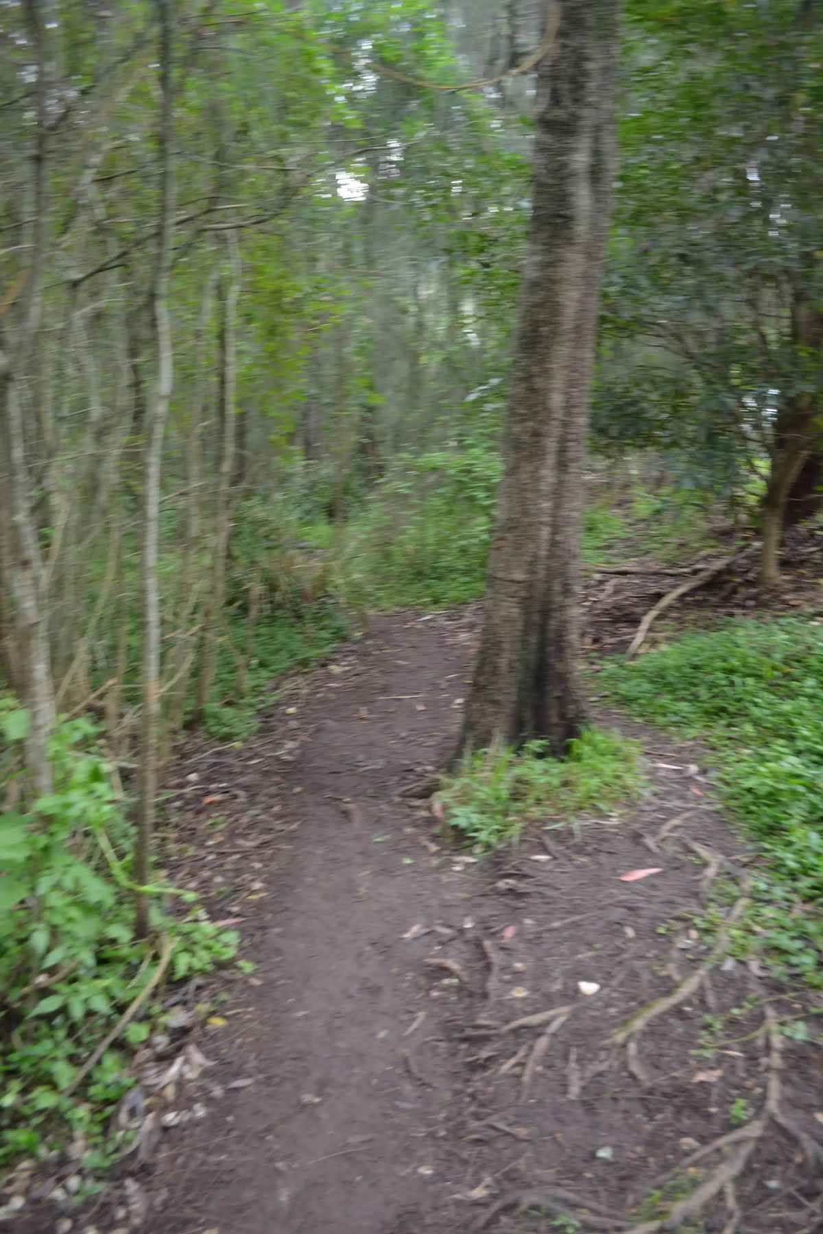
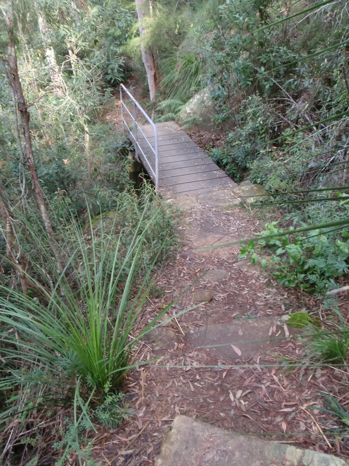
| Quality of track | Rough track, where fallen trees and other obstacles are likely (4/6) |
| Gradient | Very steep (4/6) |
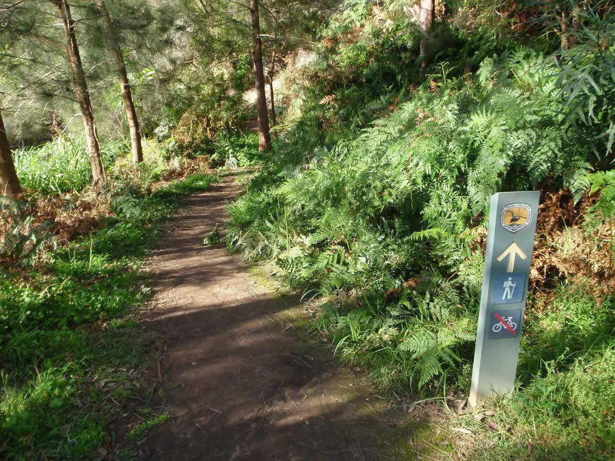
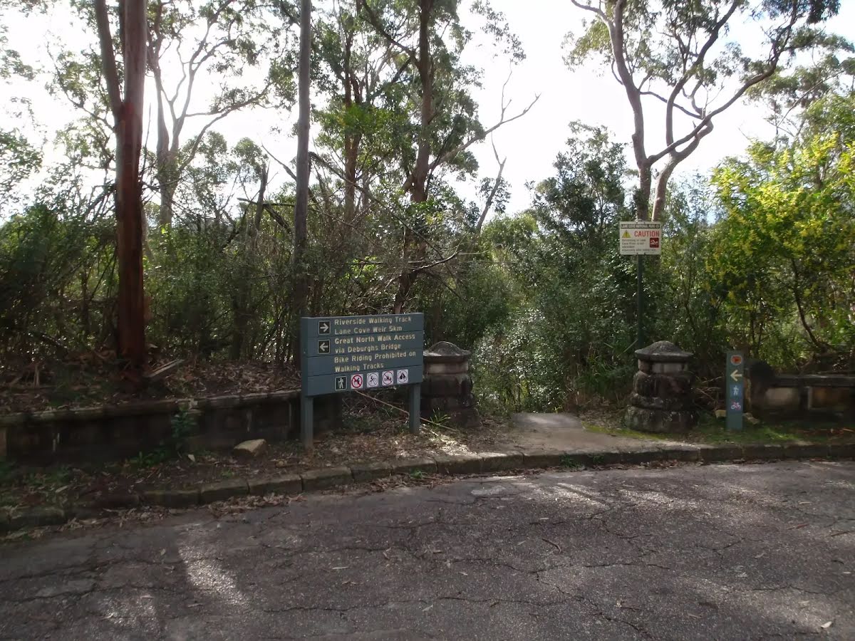
| Signage | Minimal directional signs (4/6) |
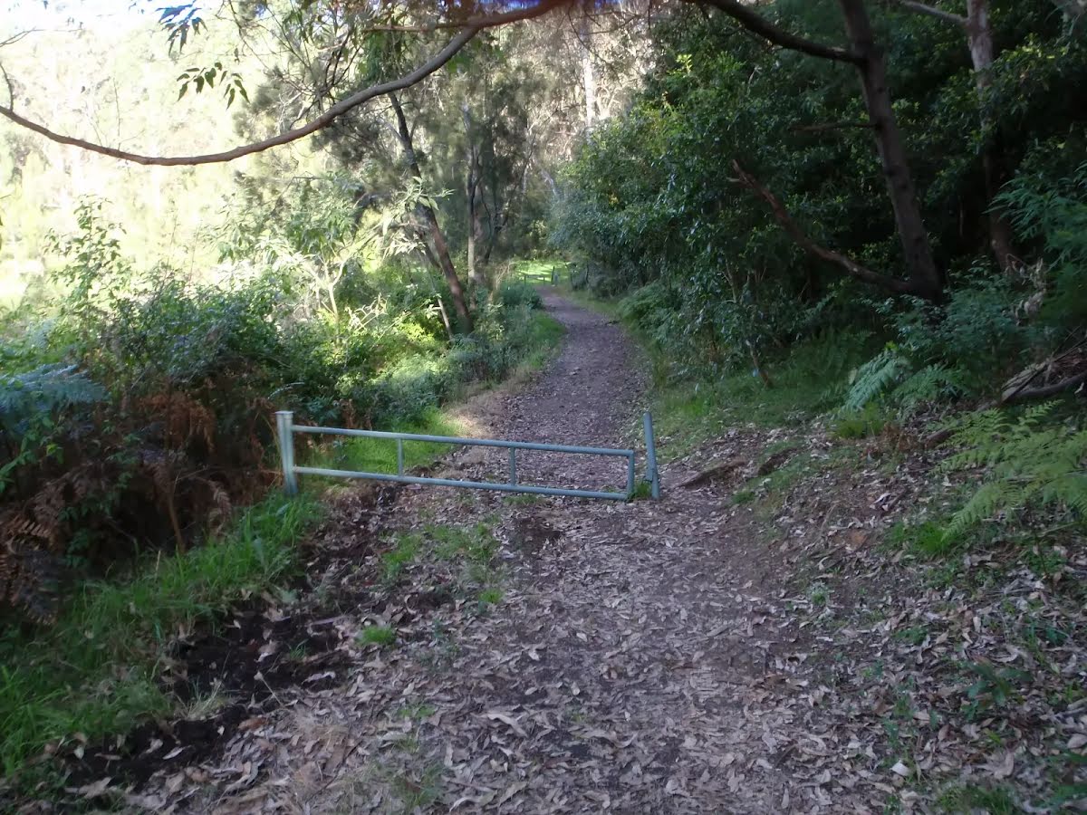
| Infrastructure | Limited facilities (such as cliffs not fenced, significant creeks not bridged) (4/6) |
| Experience Required | No experience required (1/6) |
| Weather | Storms may impact on navigation and safety (3/6) |
| Item | From Start | Name & link to notes |
|---|---|---|
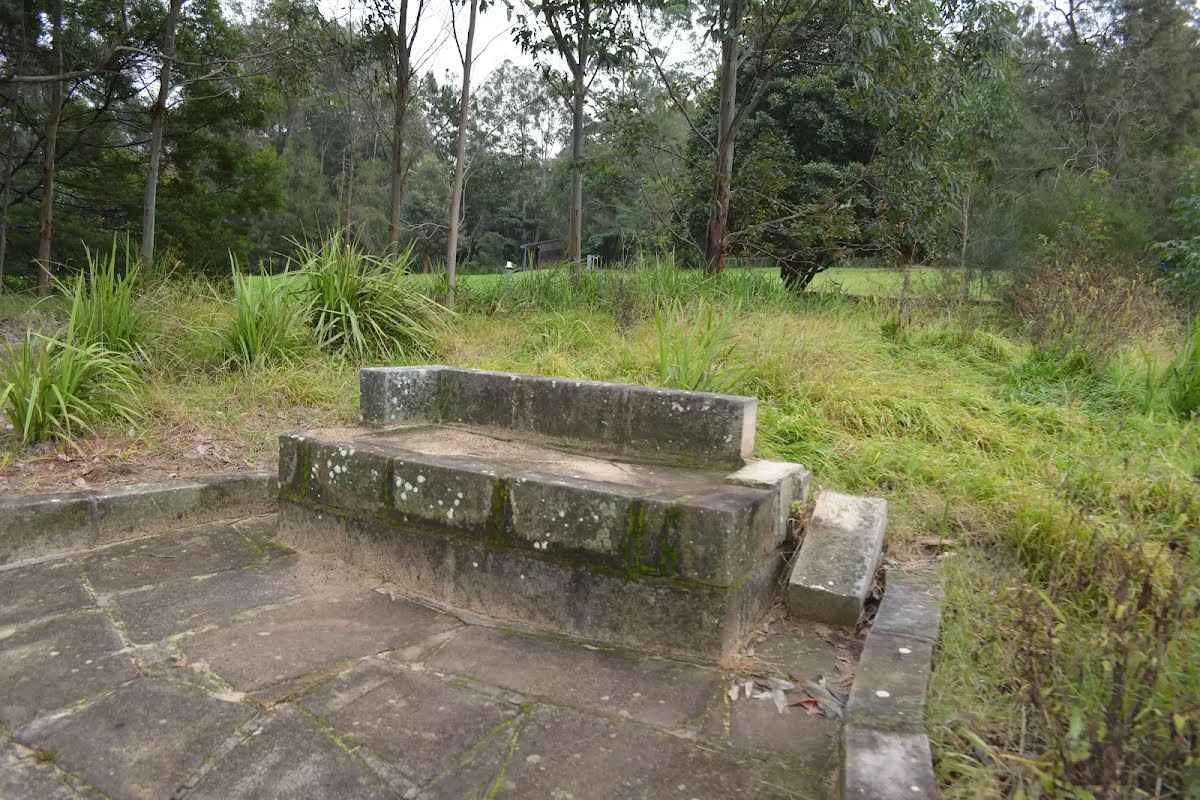
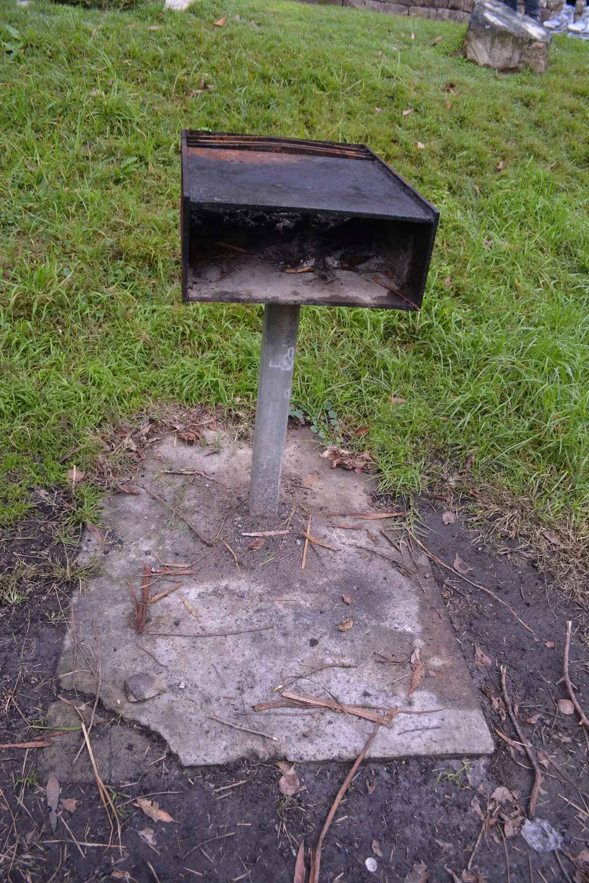
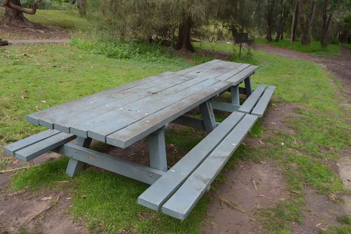
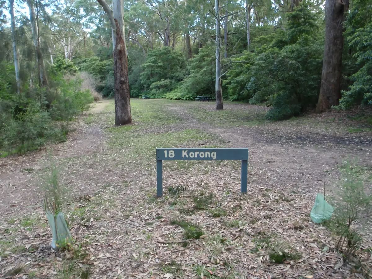
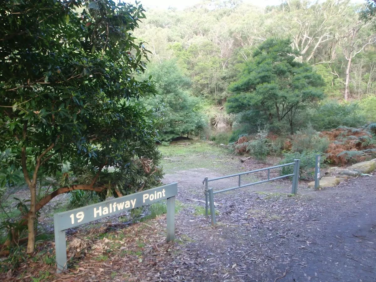
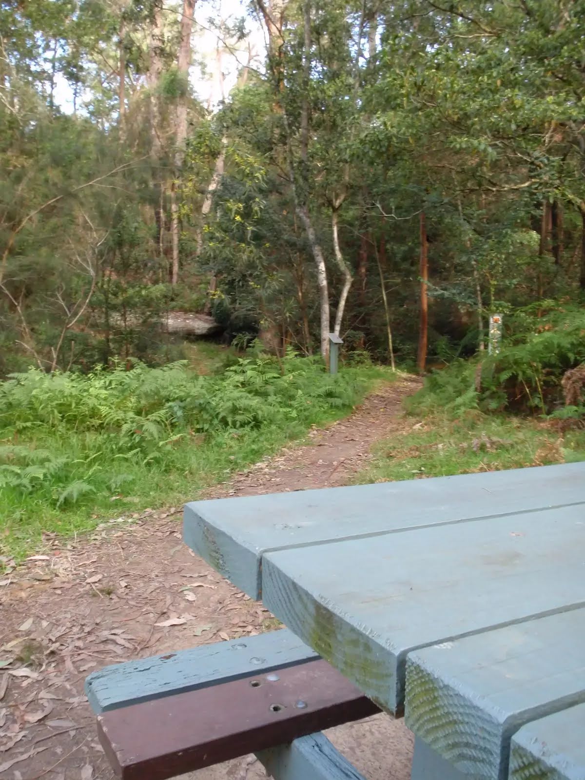
Seat
| 115 m | Seat |
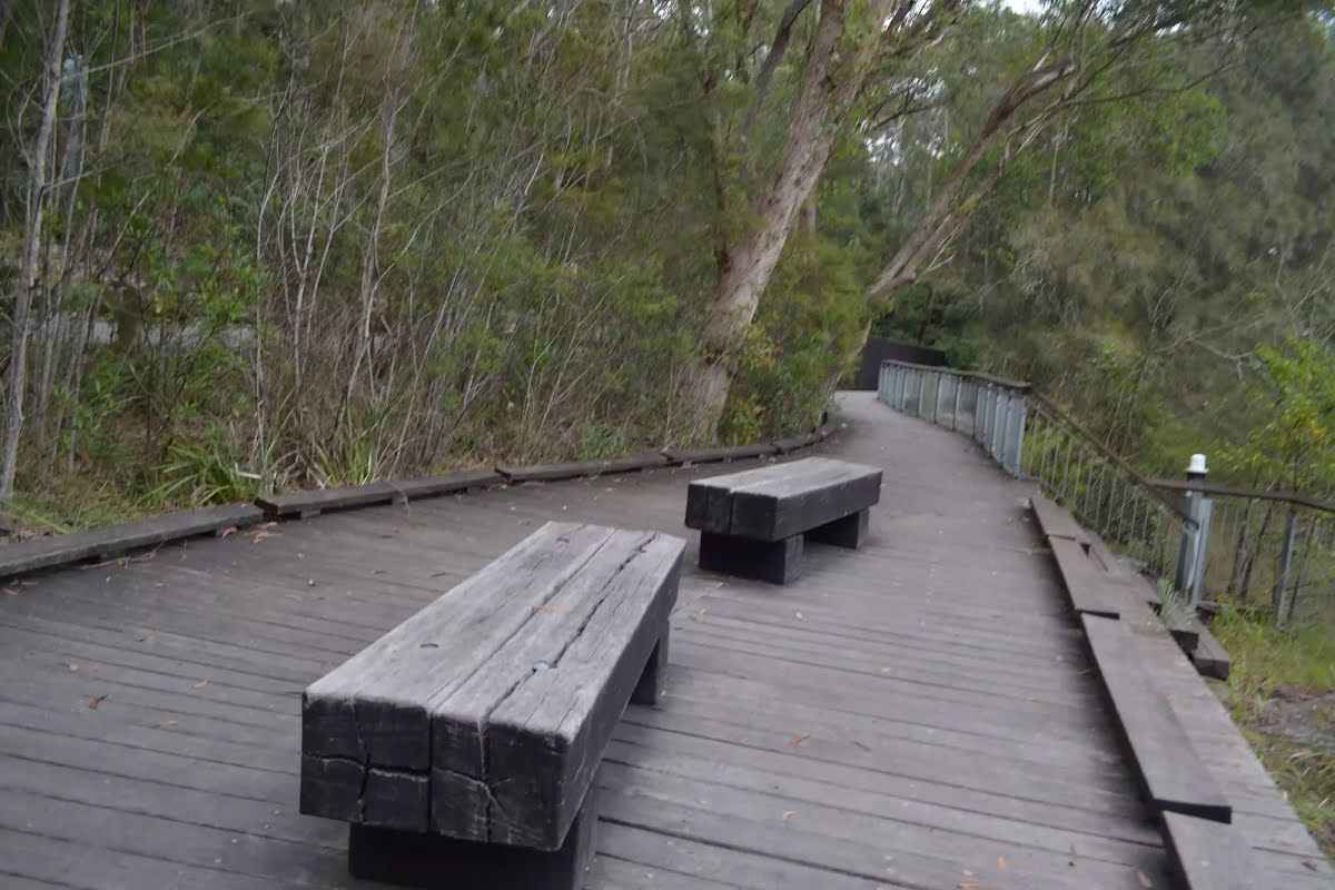
Seat
| 225 m | Seat |
Seat
| 420 m | Seat |
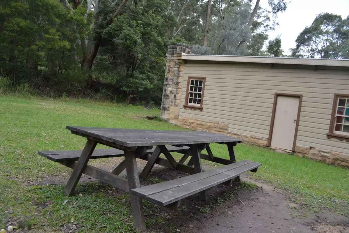
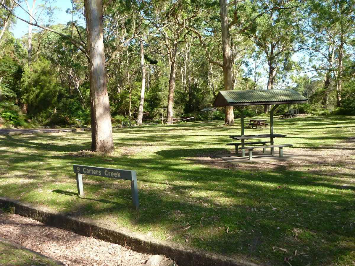
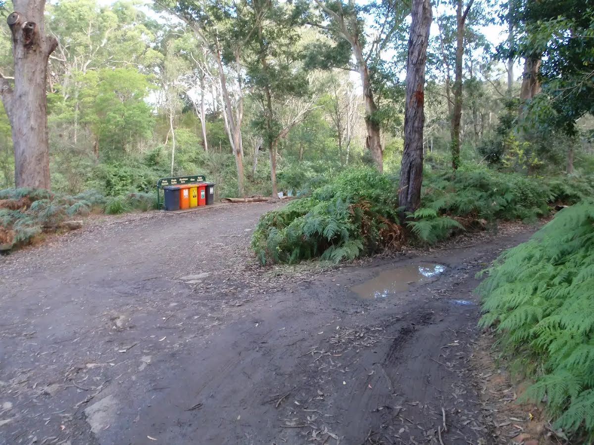
Toilet
| 1.2 km | [toilet] |
Toilet
| 1.4 km | [toilet] |
Toilet
| 1.7 km | [toilet] |
Toilet
| 2.1 km | [toilet] |