Tuggerah Lake Vista and Rainforest
Darkinjung & Guringai Country

40 min to 45 min

1.7 km
return

↑ 23 m
↓ -23 m

Moderate track
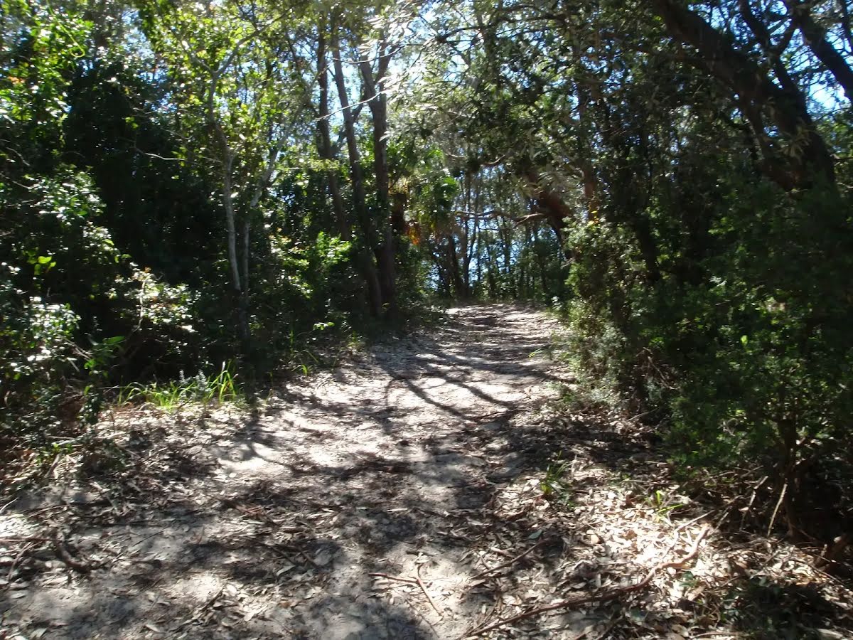
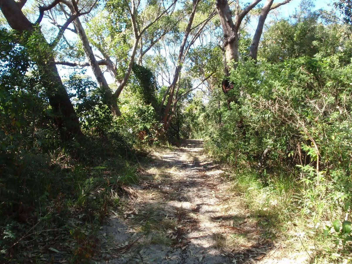
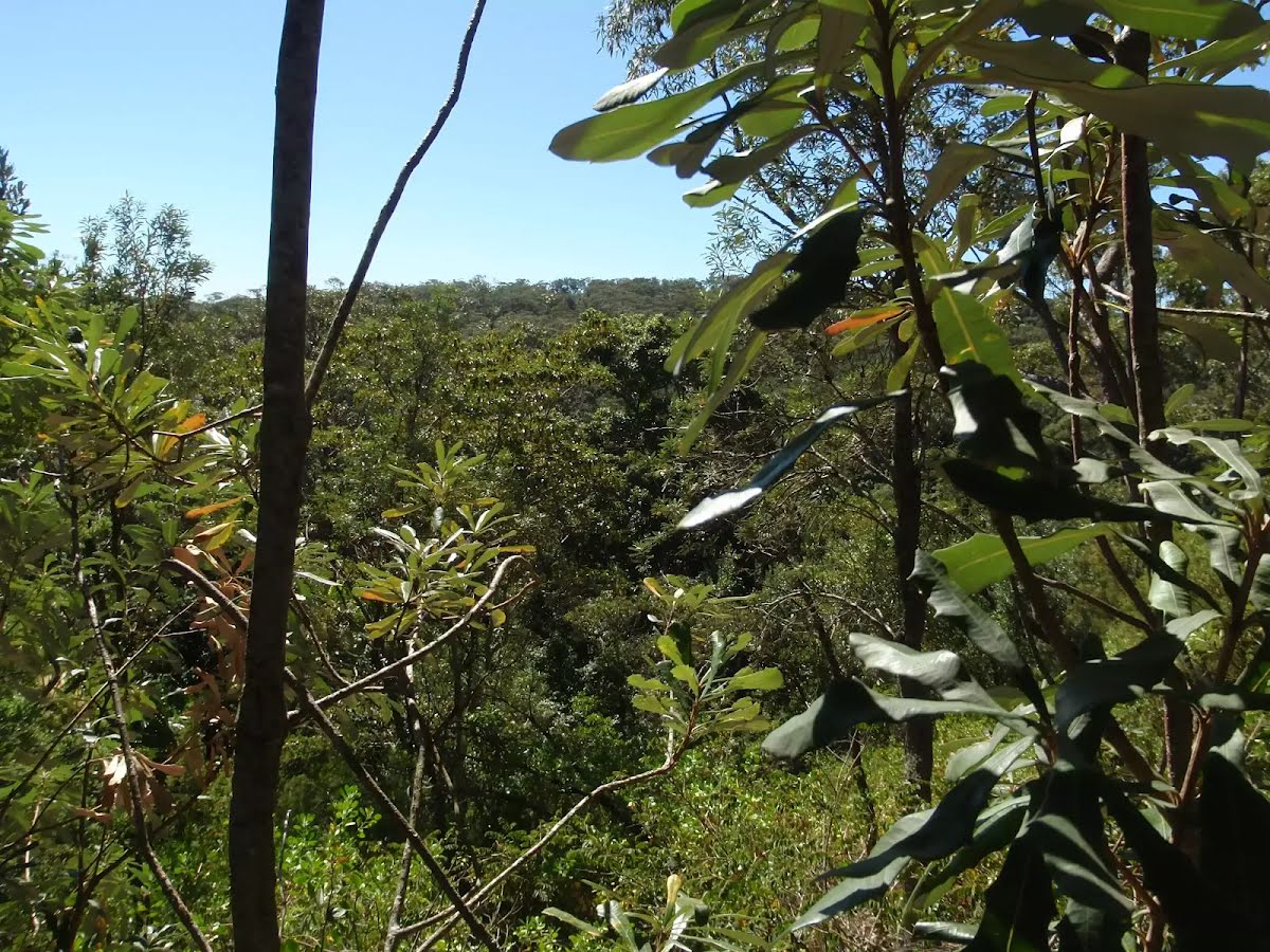
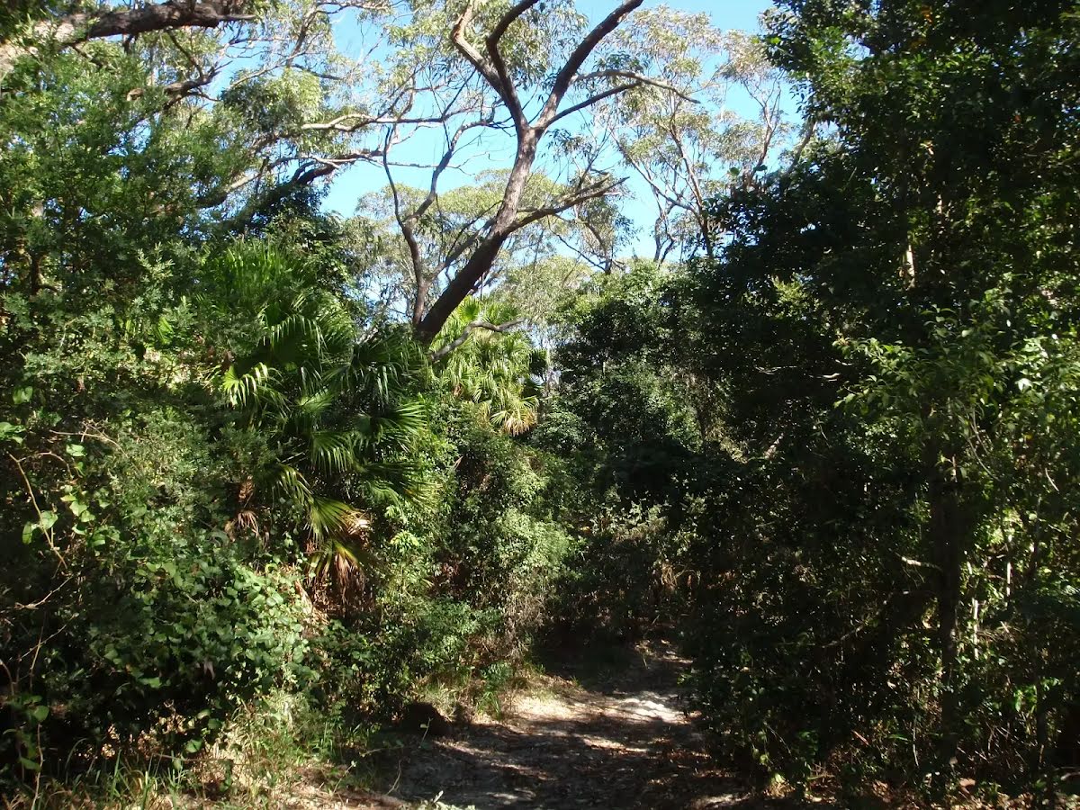
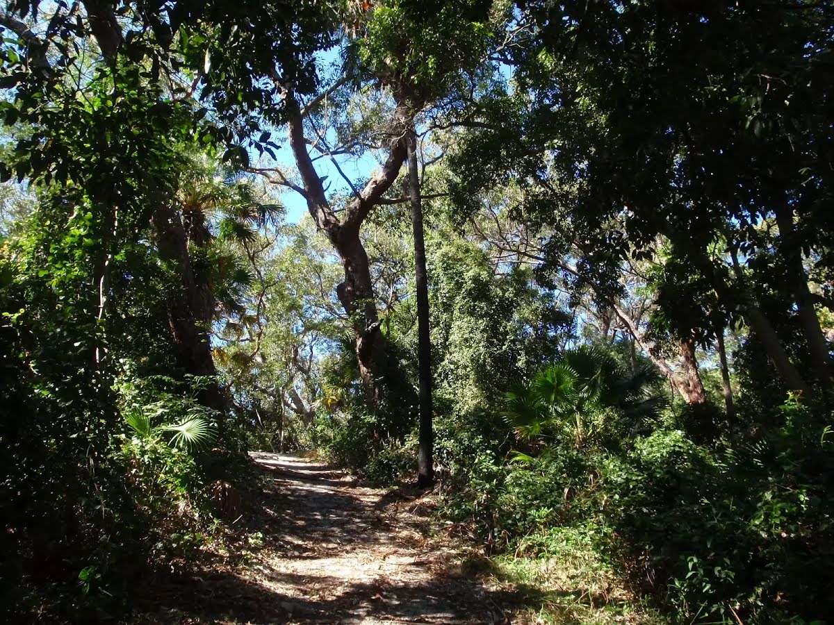
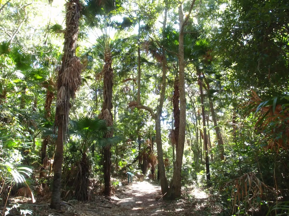
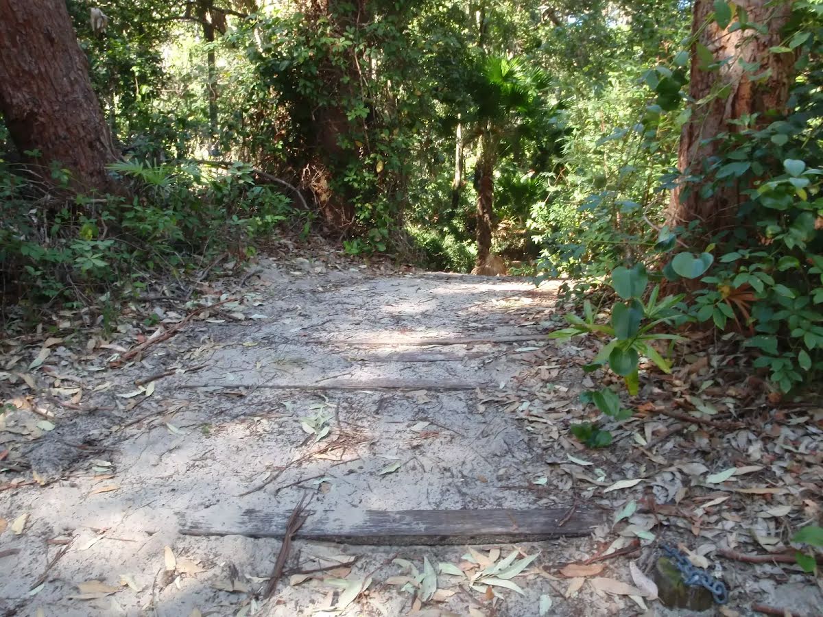
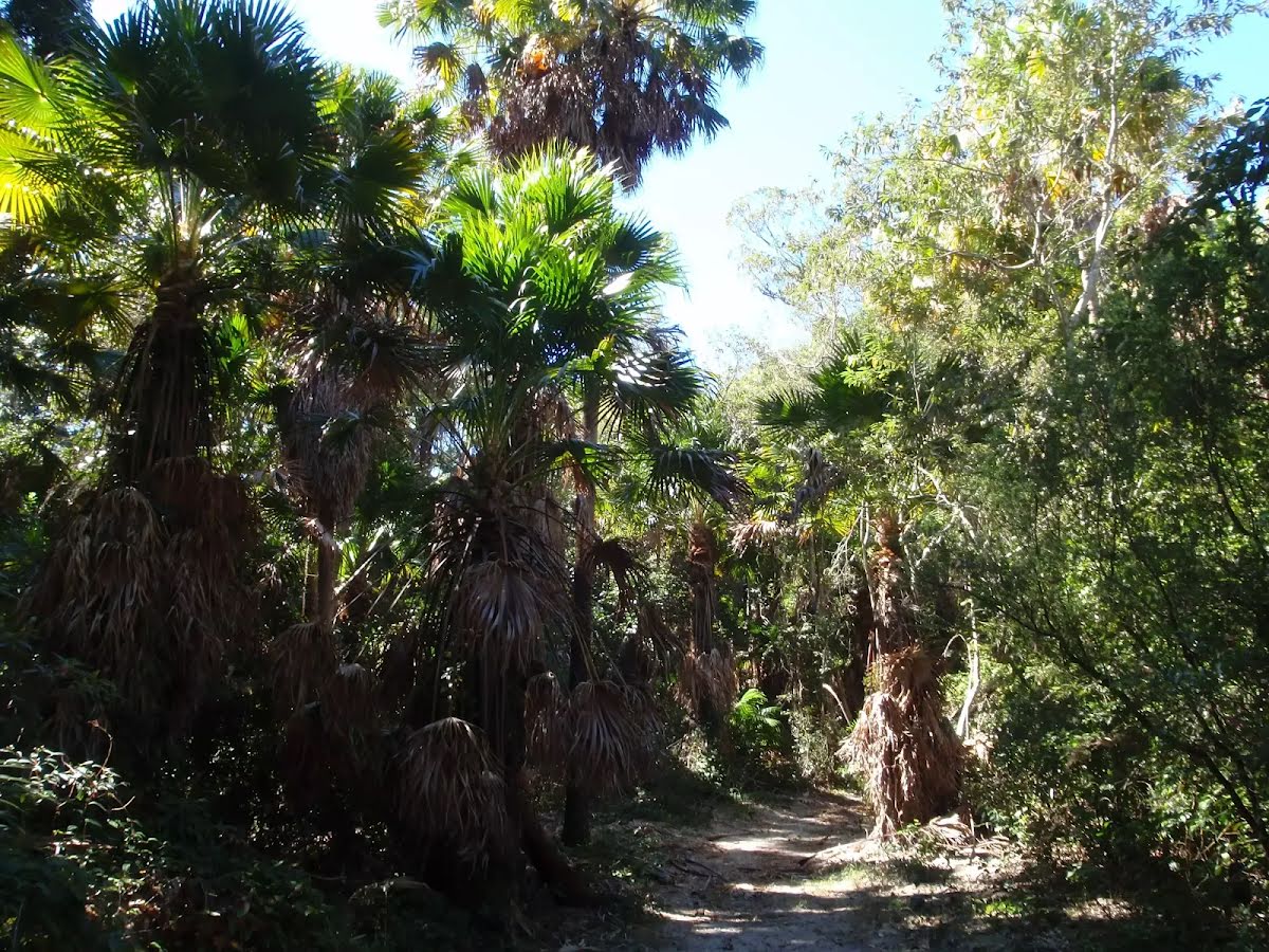
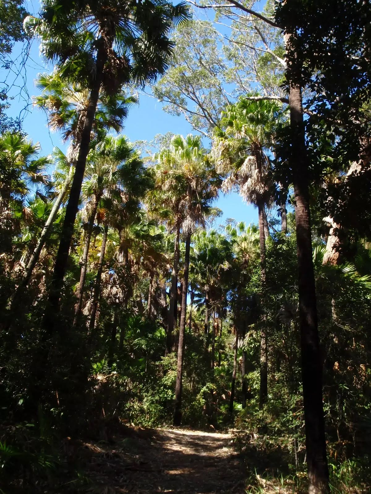
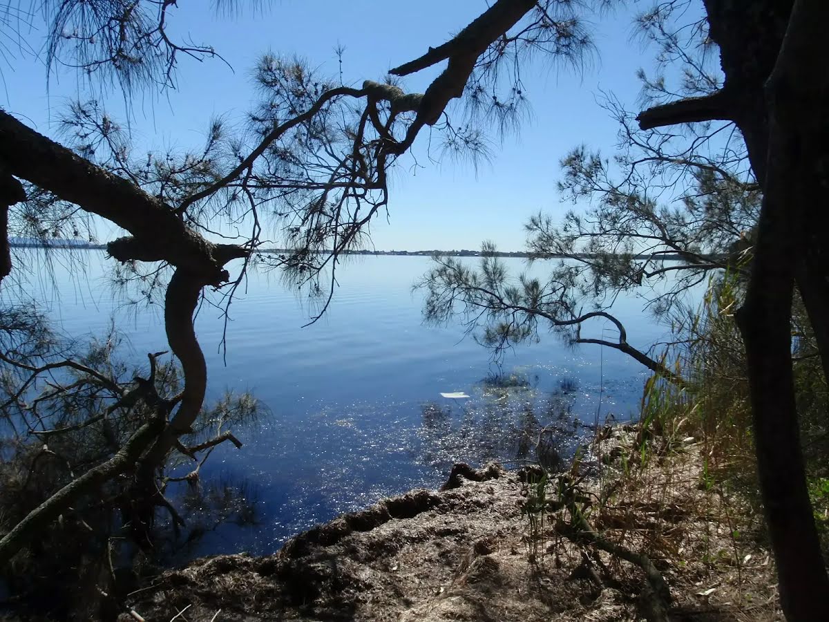
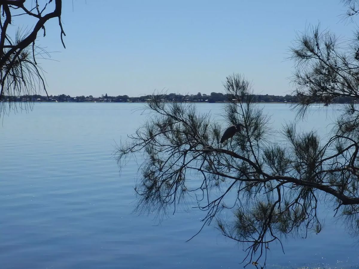
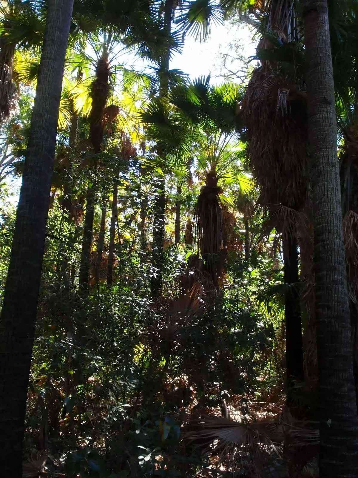
A beautiful, short walk passing through a variety of scenery, featuring an area of littoral rainforest, dominated by big cabbage palms. There are beautiful views across Tuggerah lake at the return point. Much of the walk is on sandy tracks and several sections of wooden boards keep the track in good shape and make the walking a little easier. Let us begin by acknowledging the Darkinjung & Guringai people, Traditional Custodians of the land on which we travel today, and pay our respects to their Elders past and present. 
Show all
Wide sandy track. | Photo by admin, 2009.
Interesting scenery along the way. | Photo by admin, 2009.
Distant glimpses. | Photo by admin, 2009.
Nice mixed forest. | Photo by admin, 2009.
Shaded track. | Photo by admin, 2009.
Under the cabbage palms. | Photo by admin, 2009.
Tall forest and cabbage palms. | Photo by admin, 2009.
Some boarded track. | Photo by admin, 2009.
The edge of the palm forest. | Photo by admin, 2009.
In the rainforest. | Photo by admin, 2009.
Lovely vista across Tuggerah lake. | Photo by admin, 2009.
Across Tuggerah Lake. | Photo by admin, 2009.
Downloads GPX PDF

+
-
Safer Bushwalks
Tips on staying safe on track
Before you start any bushwalk ensure you;
• Tell someone you trust where you are going and what to do if you are overdue
• Have adequate equipment, supplies, skills & knowledge for the whole journey
• Consider the impact of weather forecasts, park/track closures & fire dangers
• Can respond to emergencies & call for help at any point
• Are healthy and fit enough for this journey
If not, change plans and stay safe. It is okay to delay and ask people for help.
+
-
Getting There
Transport options and directions
Start (-33.3004762,151.5332893)
Mode Car (There is free parking available.)
DirectionsFrom Main Road, B70
  • Turn on to Wilfred Barrett Drive, A49 then drive for 4.6 km
+
-
Track Notes
Turn by turn instructions & maps
Getting started
From the car park on the Central Coast Hwy, aka Wilfred Barret Dr (about 5.5 km north of The Entrance bridge, and about 4.6km south of the intersection with Main Rd, Noraville. Signposted 'Wyrrabalong National Park'), the walk goes around a gate, passes an information board and 'Lilly Pilly Loop Trail' sign, and follows the management trail up the hill. The trail soon bends to the left and arrives at an intersection, marked with a 'Lilly Pilly Loop Link Trail' sign. ....
Turn map Directions & comments
Start.
After another 60 m turn left, to head along Lilly Pilly Loop Link Trail.
After another 800 m come to "Lilly Pilly loop rainforest".
Lilly Pilly loop rainforest

This area of littoral rainforest is on the Lilly Pilly loop walk, in Wyrrabalong National Park, north of The Entrance. This small remnant of rainforest is dominated by cabbage palms, corkwoods and tuckeroos. There are nice views across Tuggerah lake from the edge of the forest as well.
+
-
This area of littoral rainforest is on the Lilly Pilly loop walk, in Wyrrabalong National Park, north of The Entrance. This small remnant of rainforest is dominated by cabbage palms, corkwoods and tuckeroos. There are nice views across Tuggerah lake from the edge of the forest as well.

Turn around here and retrace the main route for 850 m to get back to the start.
About 15 m past the end is "Tuggerah Lake vista".
Tuggerah Lake vista
Tuggerah Lake vista

This informal, unnamed spot at the edge of Tuggerah Lake, north of The Entrance, has beautiful views across the lake. These views, combined with the nearby area of rainforest, provide beautiful scenery on walks in the area.
+
-
This informal, unnamed spot at the edge of Tuggerah Lake, north of The Entrance, has beautiful views across the lake. These views, combined with the nearby area of rainforest, provide beautiful scenery on walks in the area.

+
-
Terrain
Know the Hills, grading & facilities

Tuggerah Lake Vista and Rainforest


Grading
Class 3/6
Moderate track
Length 1.7 km
Time 40 min to 45 min
Quality of track Clear and well formed track or trail (2/6)
Gradient Short steep hills (3/6)
Signage Directional signs along the way (3/6)
Infrastructure Limited facilities, not all cliffs are fenced (3/6)
Experience Required Some bushwalking experience recommended (3/6)
Weather Weather generally has little impact on safety (1/6)
+
-
Articles
Discover more details to thrive on track
+
-
Reviews & Feedback
Share your experience
+
-
Weather & Alerts
Check forecasts & closures
Show Full Weather
Alerts and Closures
Show all alerts
Show all alerts
Show all alerts
+
-
Other Journeys
Discover nearby and similar journeys
Some of the information and maps on this page was generated using data from the awesome © OpenStreetMap contributors.
Please see how you can embed some widgets, access data and other stuff to that might be helpful.