| Turn map |
Directions & comments |
|
|

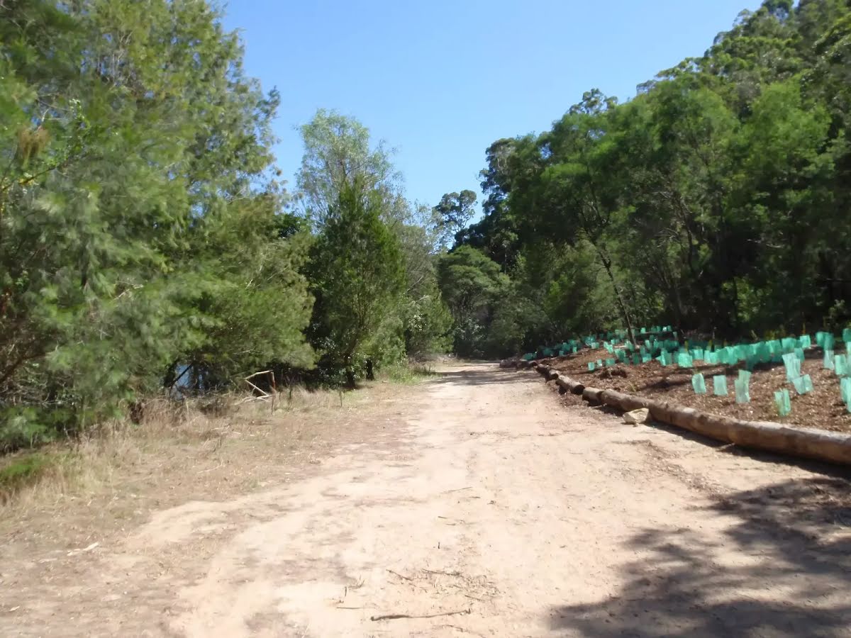
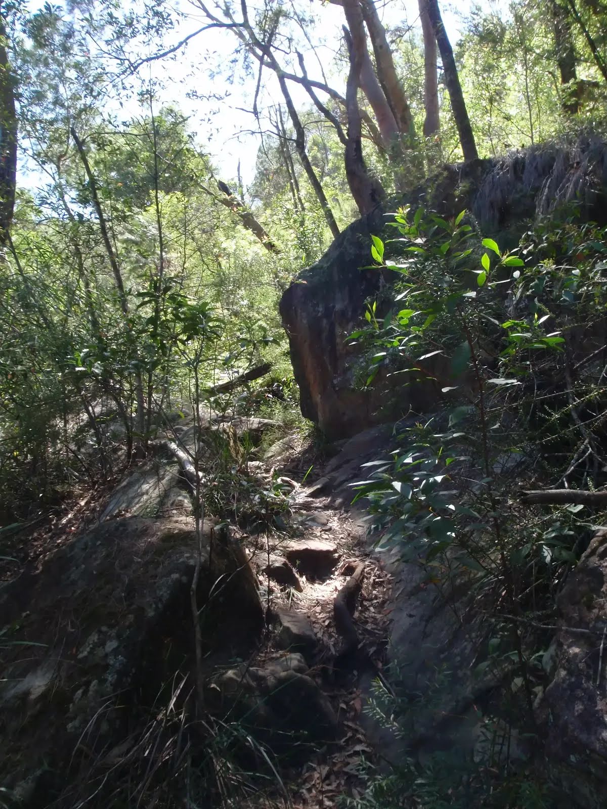
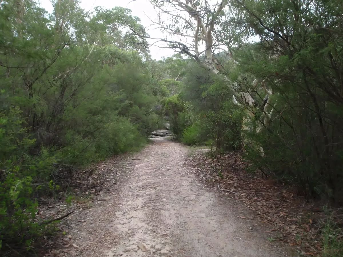
From the Healey Way Start heading along Healey Way (a vehicle track).

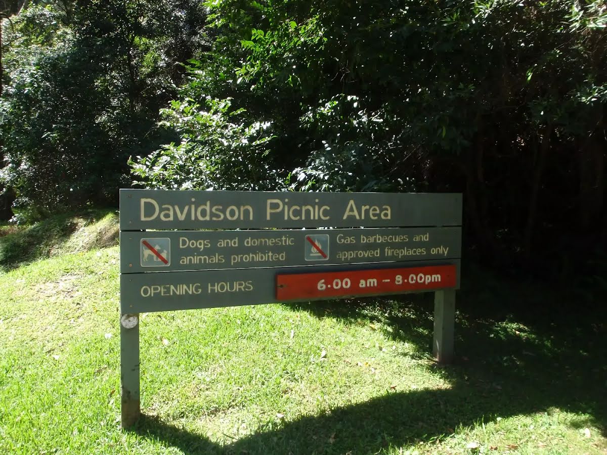
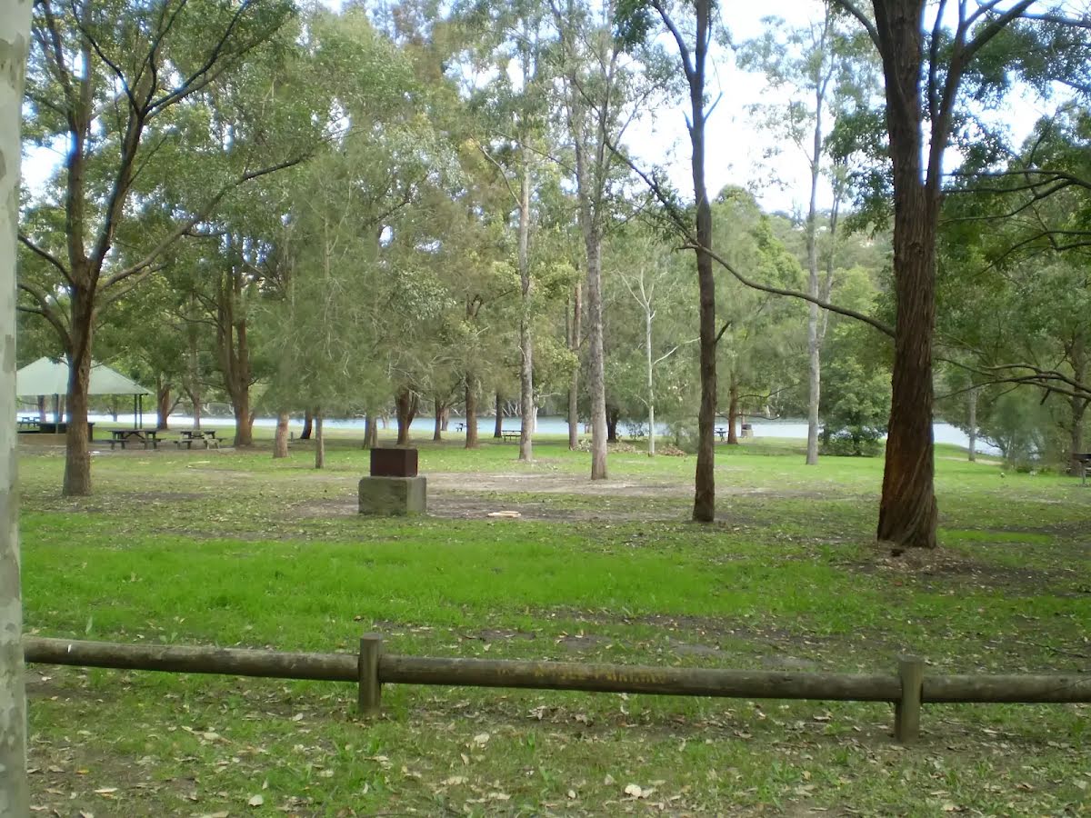
There is a toilet (about 30 m back from the start).

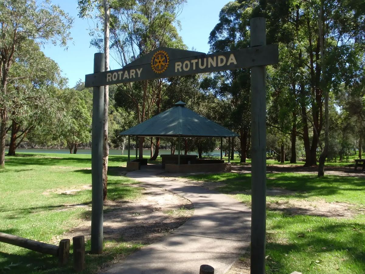
After 140 m pass the shelter (25 m on your left).

After another 370 m pass the water tap (25 m on your left).

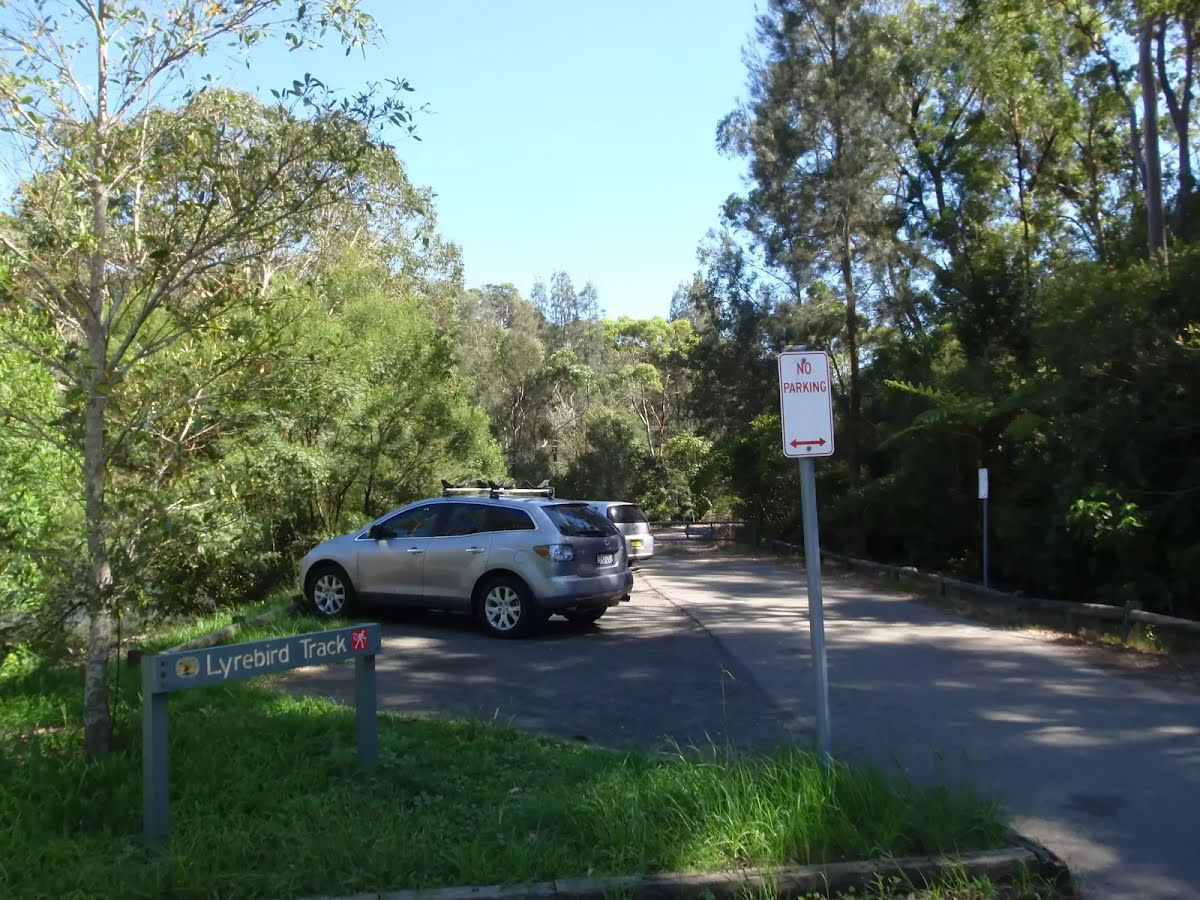
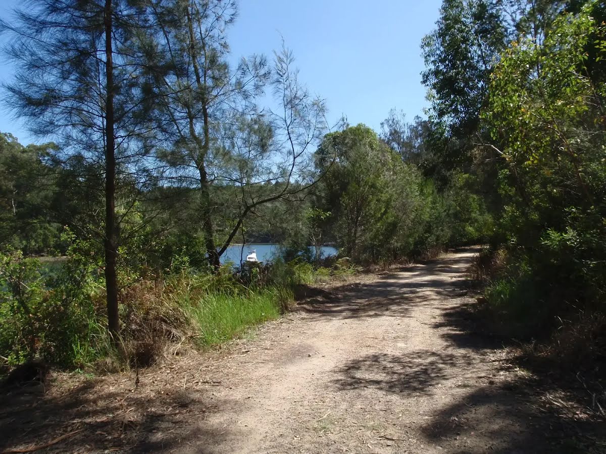
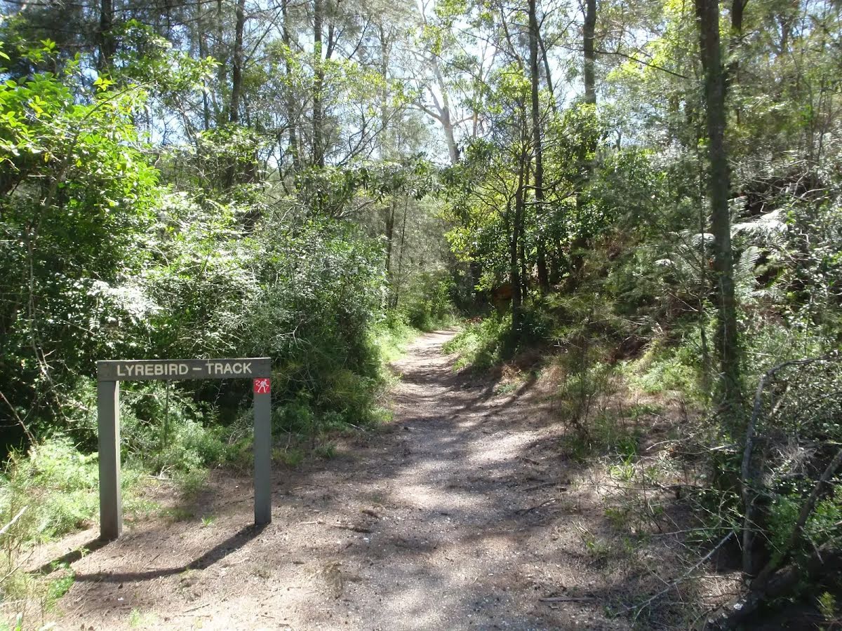
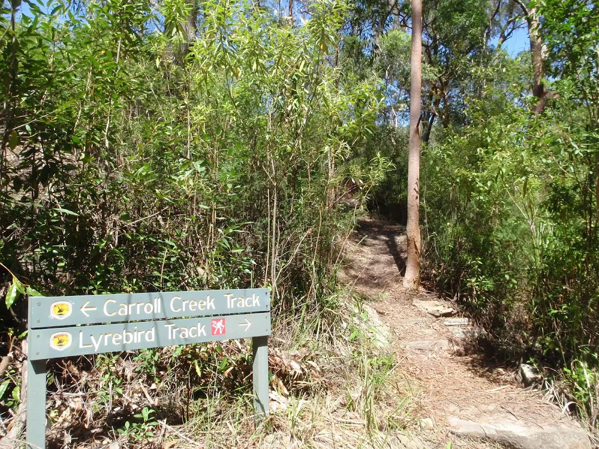
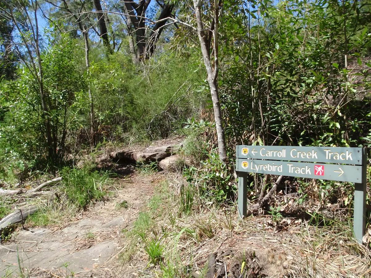
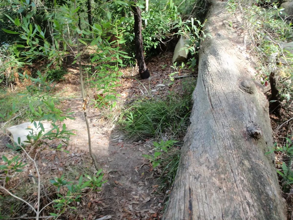
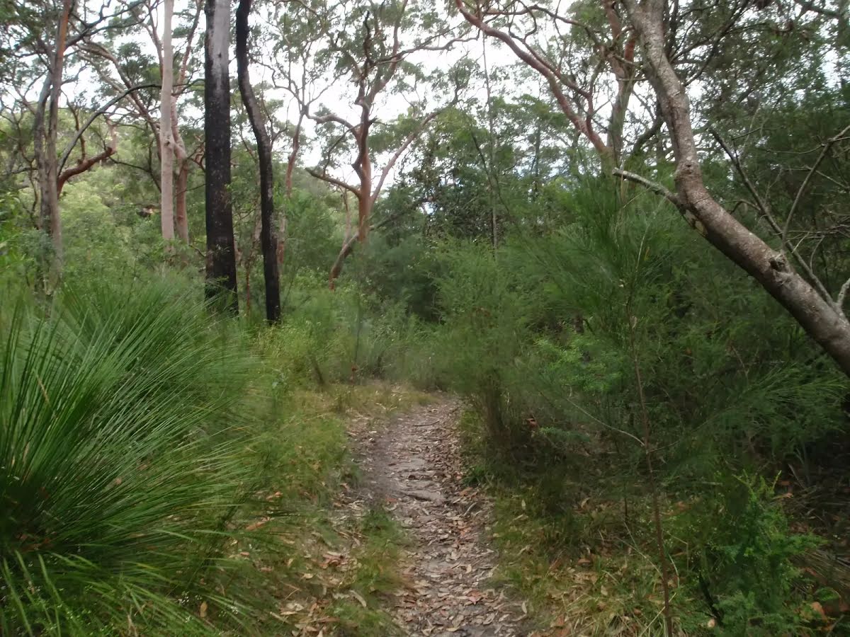
After another 1.3 km (from the Lyrebird Track) continue straight, to head along Lyrebird Track.
|
|
|
After another 810 m (from the Lyrebird Track) continue straight, to head along Lyrebird Track.
|
|
|

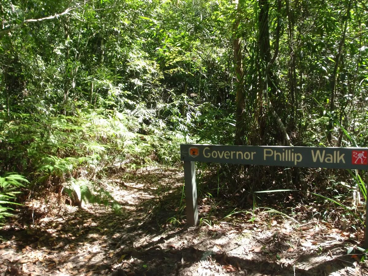
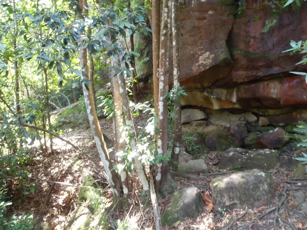
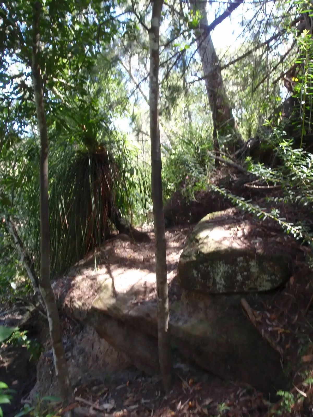
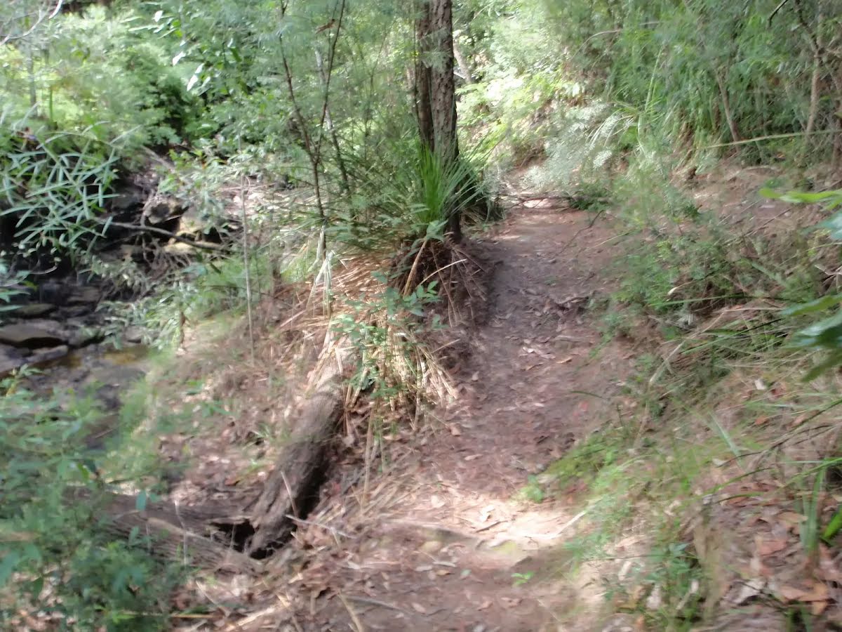
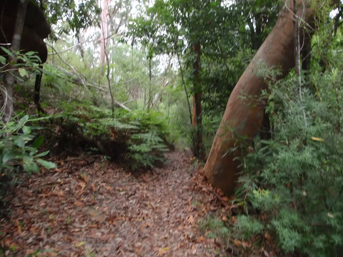
After another 530 m (at the intersection of Carroll Creek Track & Lyrebird Track) turn left, to head along Governor Philip Track (a footpath).

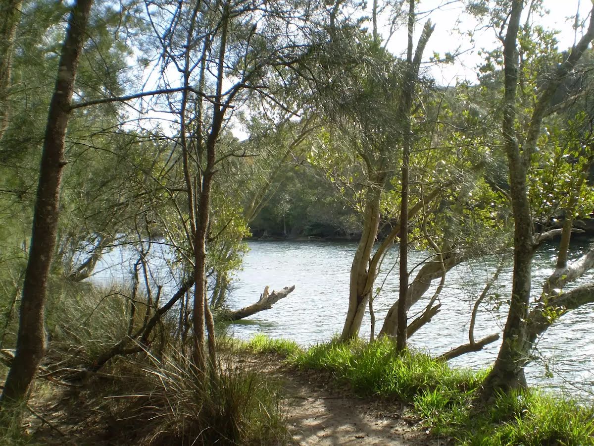
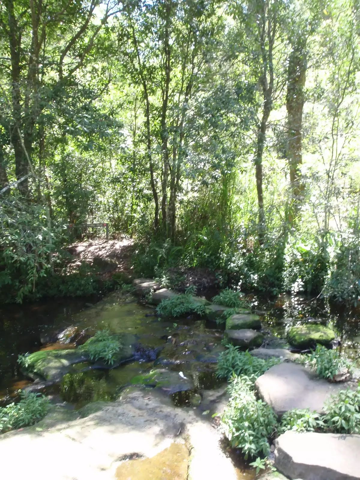
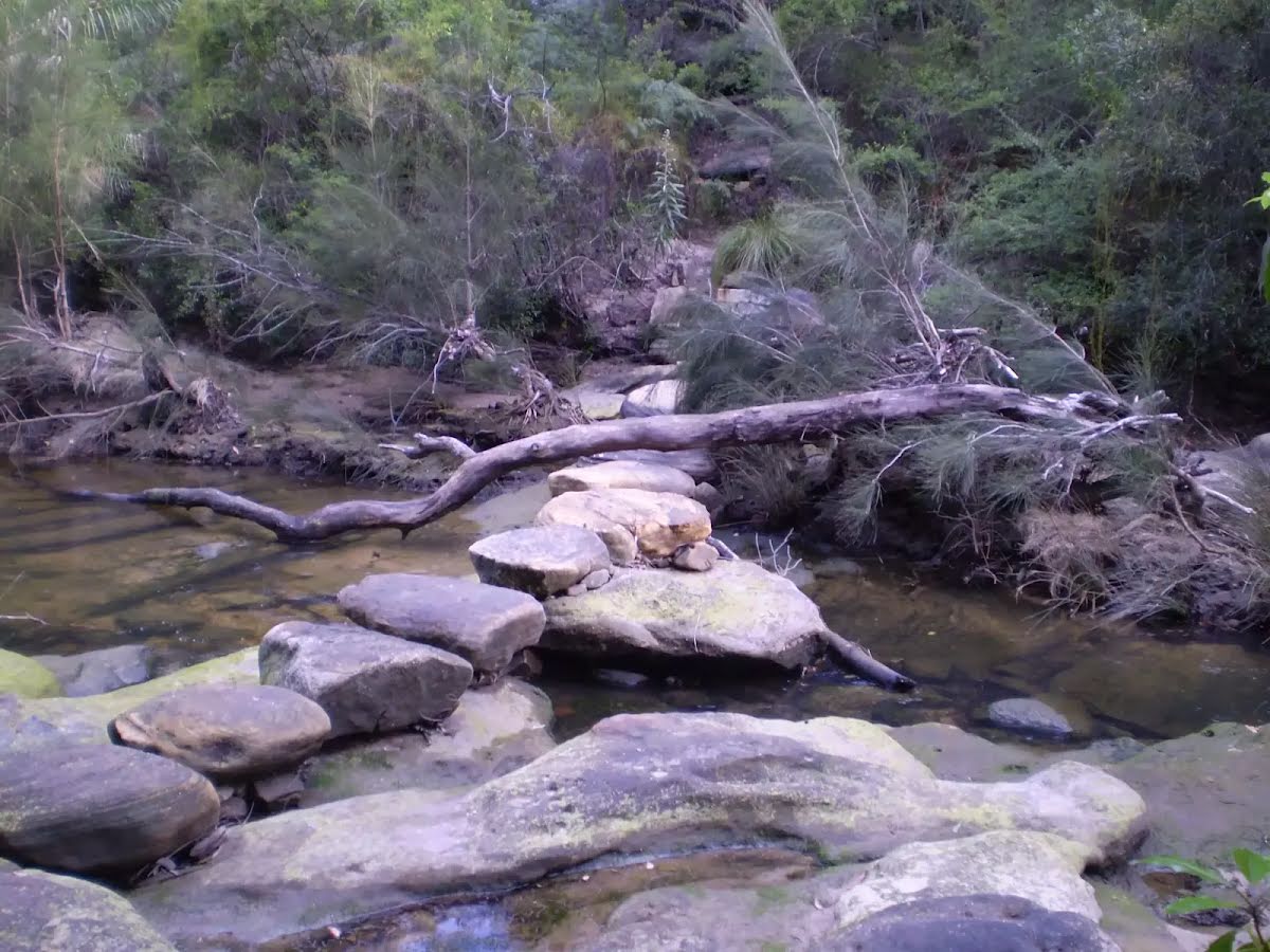
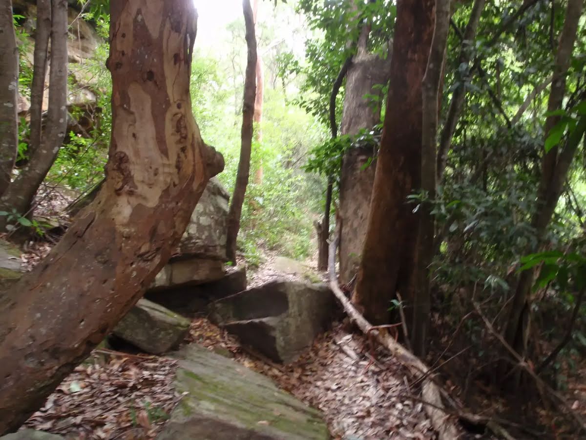
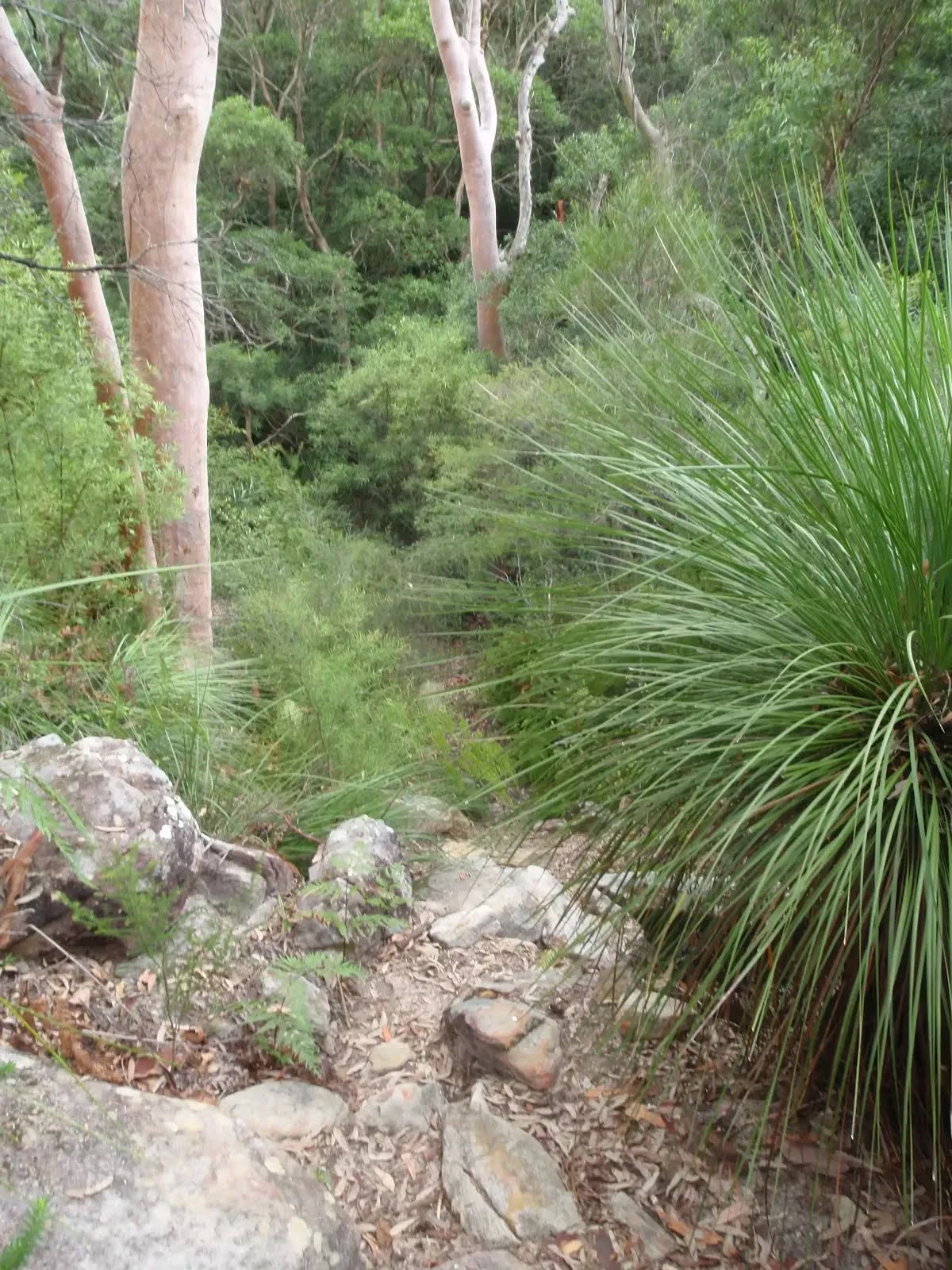
After another 9 m cross the stepping stones (about 10 m long)
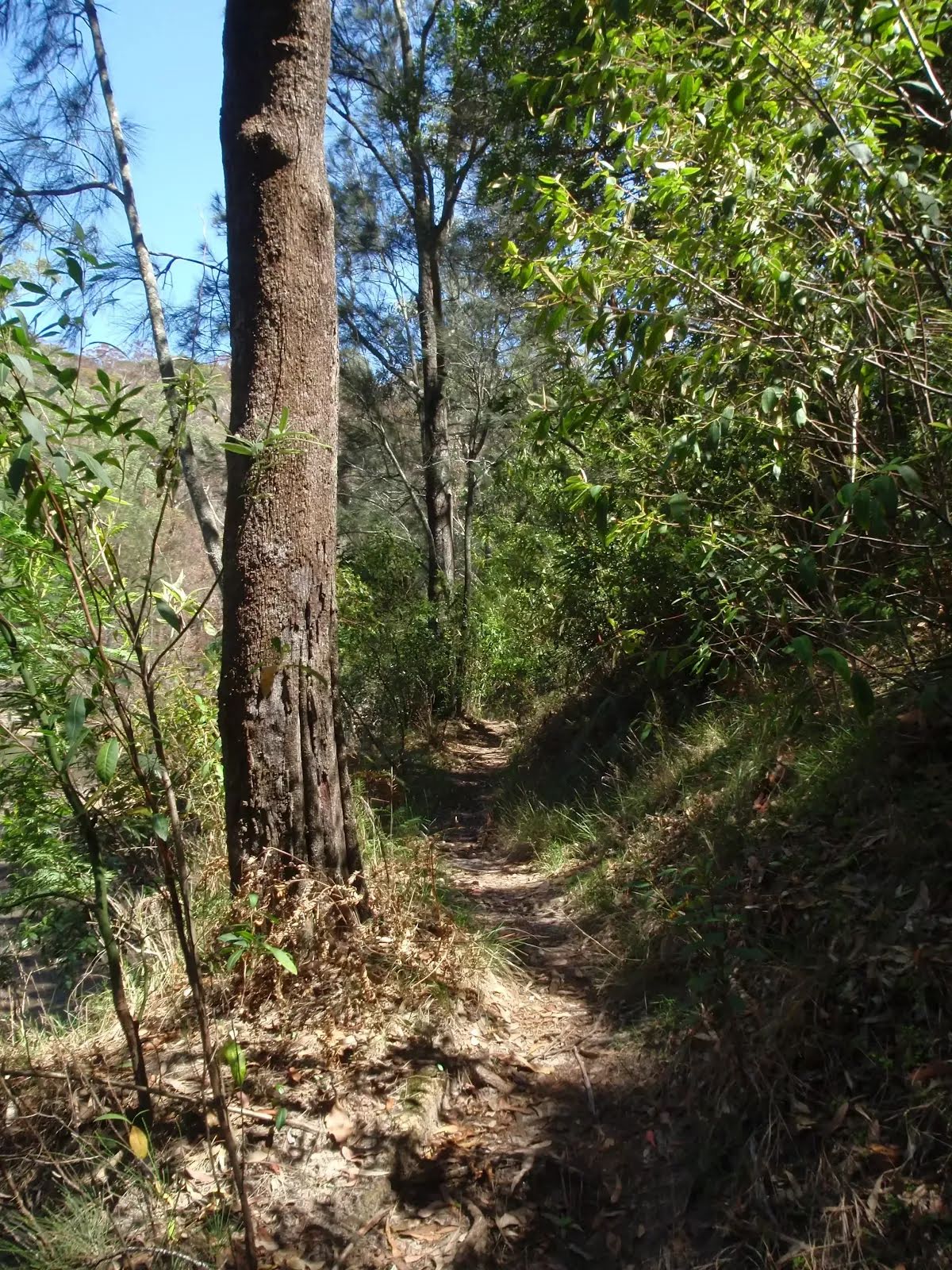
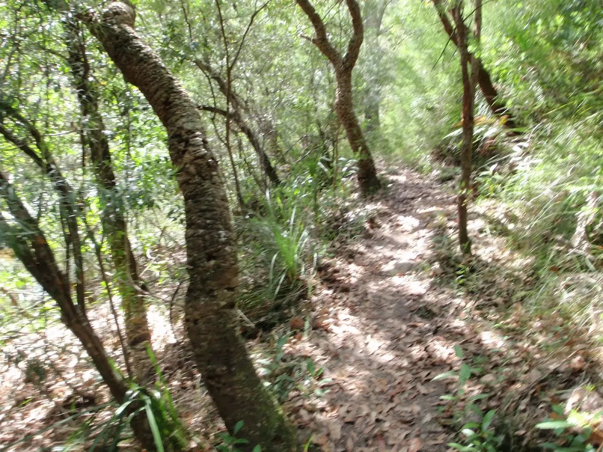
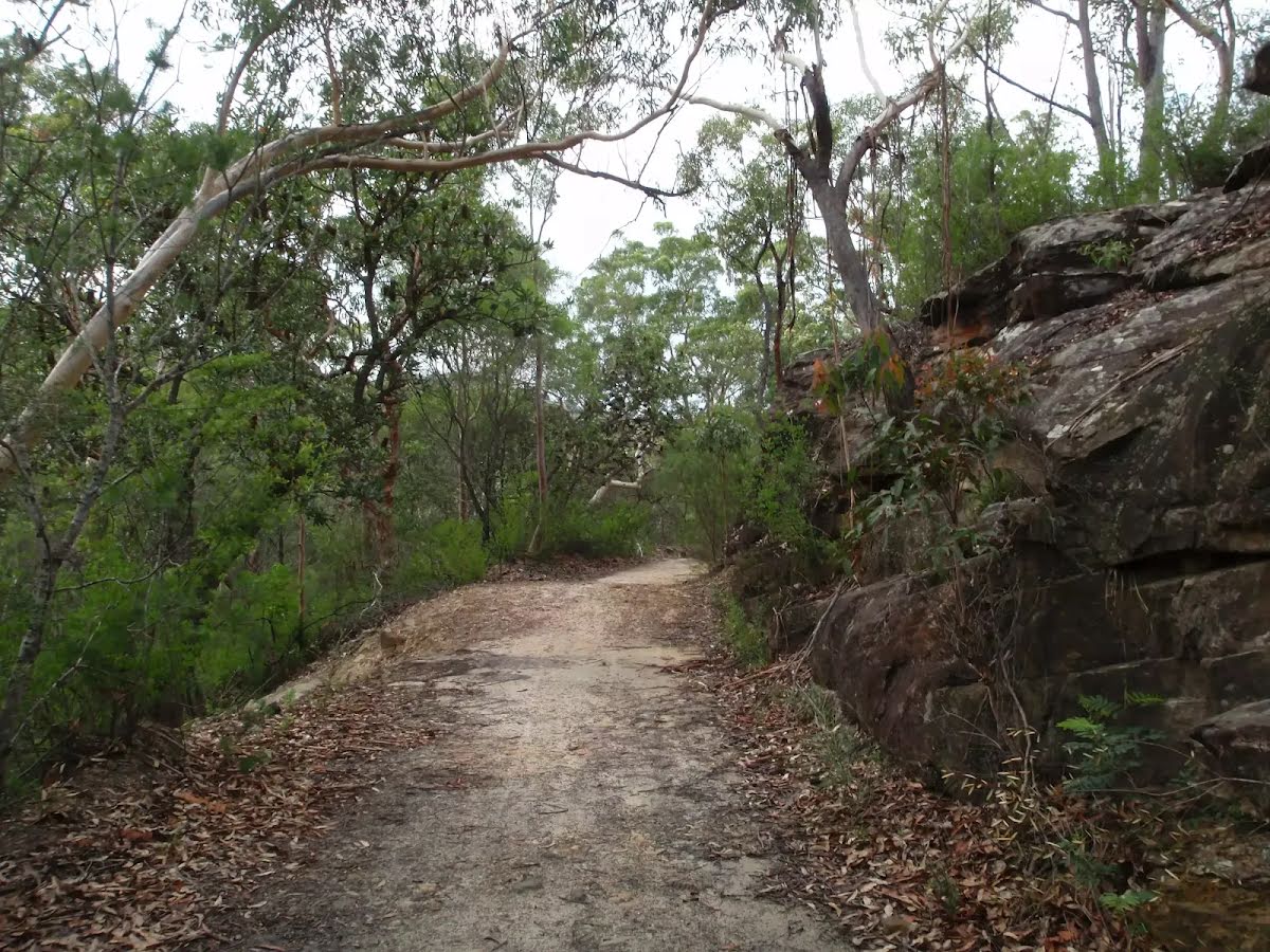
After another 1.6 km (at the intersection of Pipeline track & Governor Philip Track) continue straight, to head along Governor Philip Track.
|
|
|
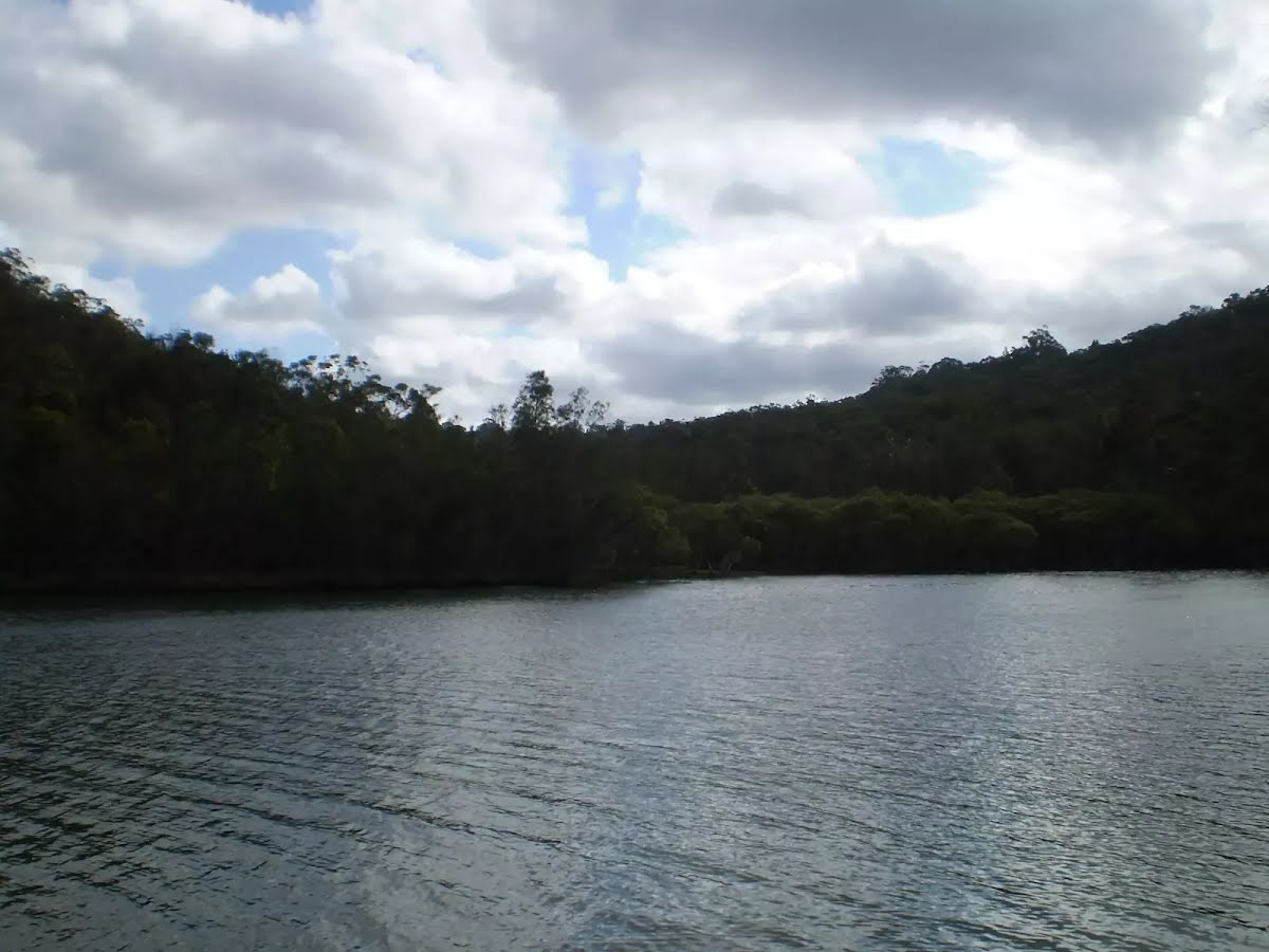
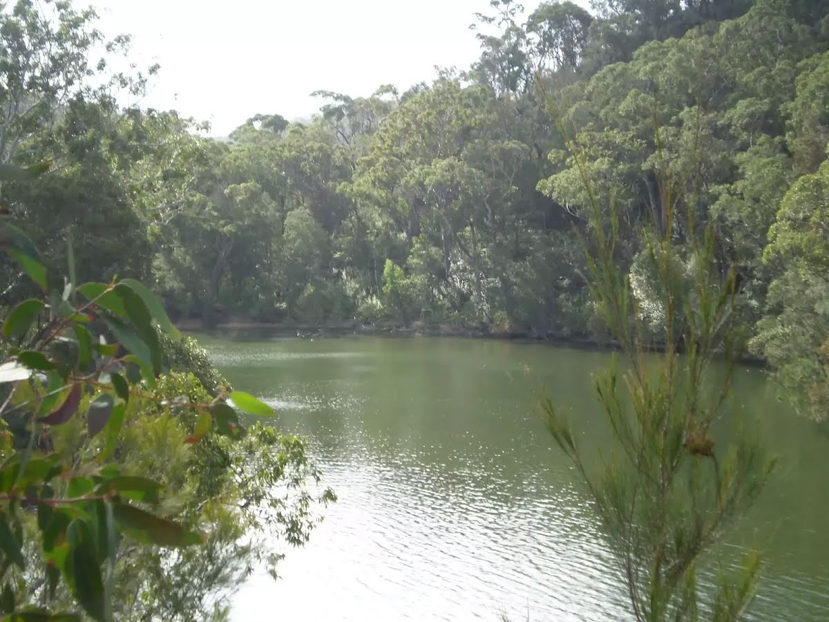
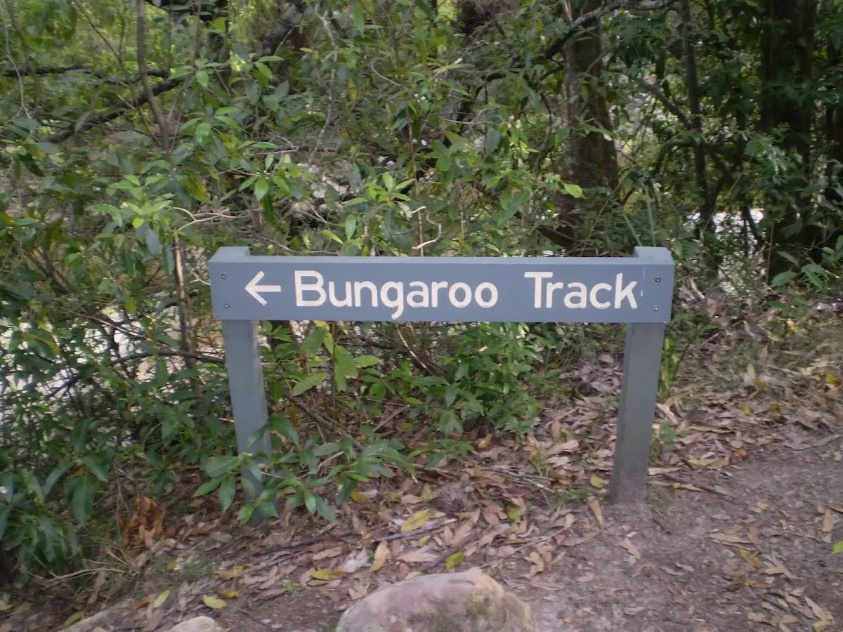
After another 690 m (at the intersection of Governor Philip Track & Bungaroo Crossing) continue straight, to head along Middle Harbour Track.

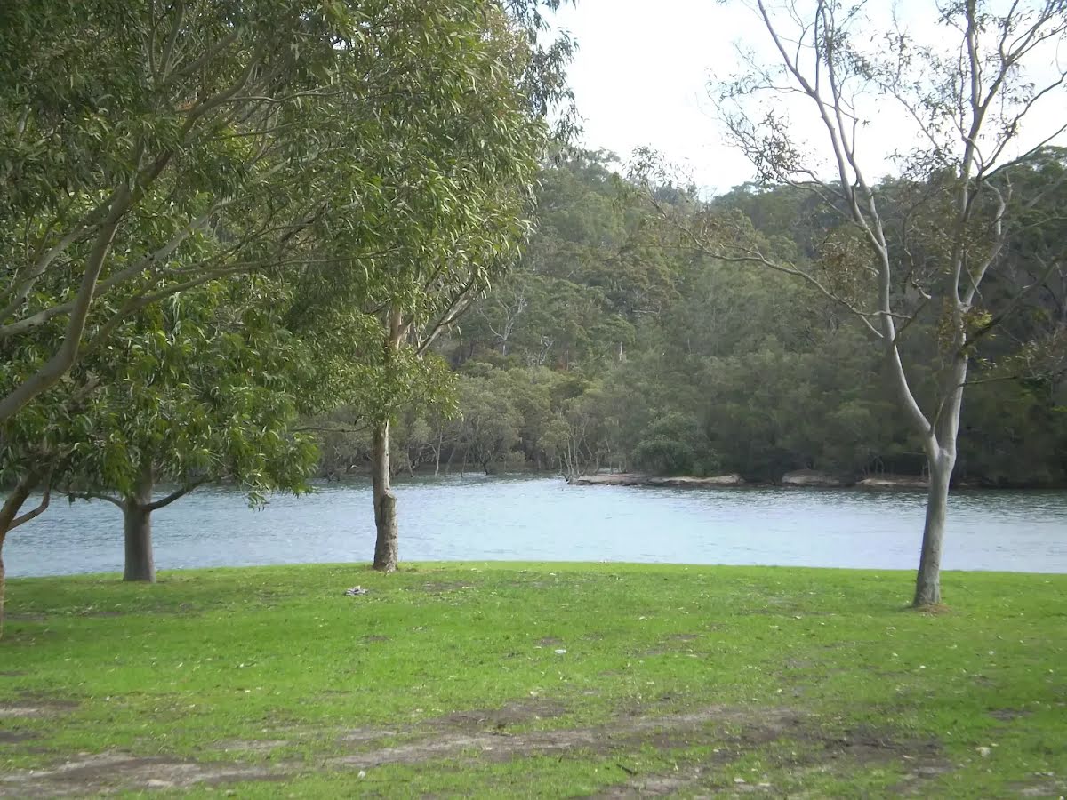
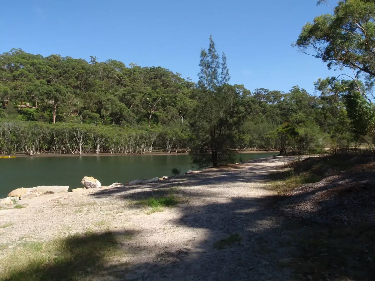
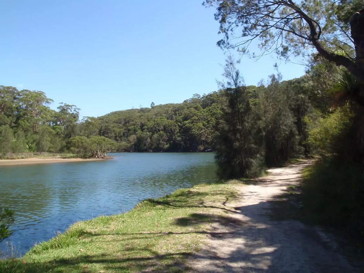
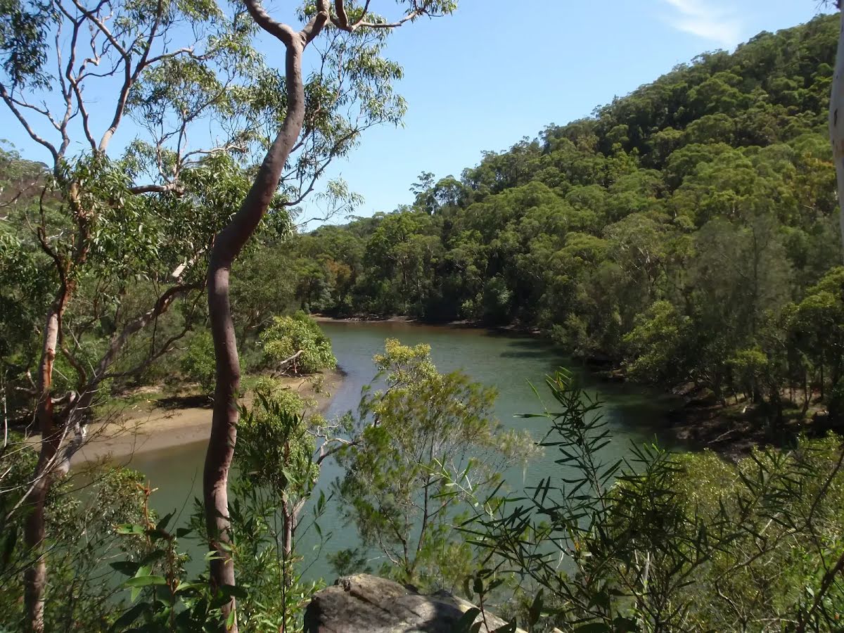
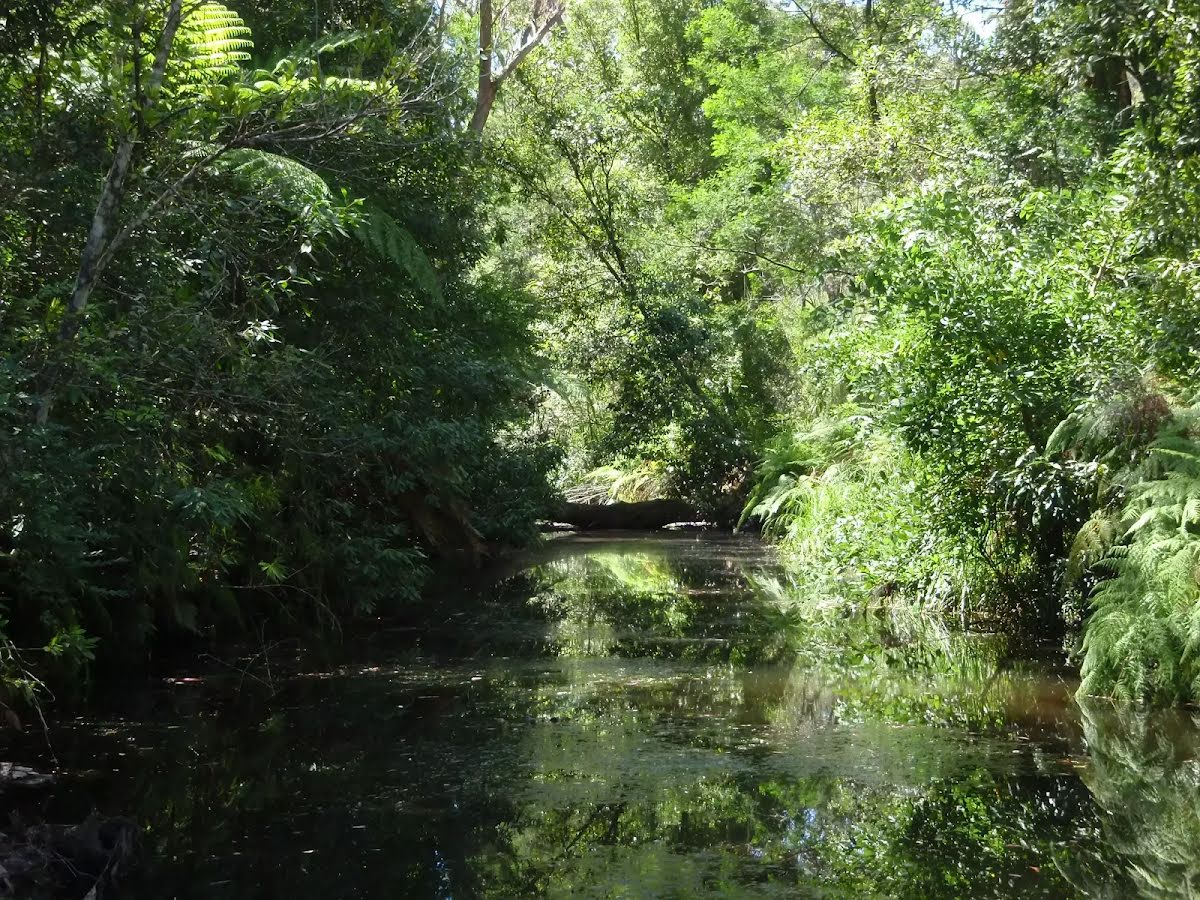
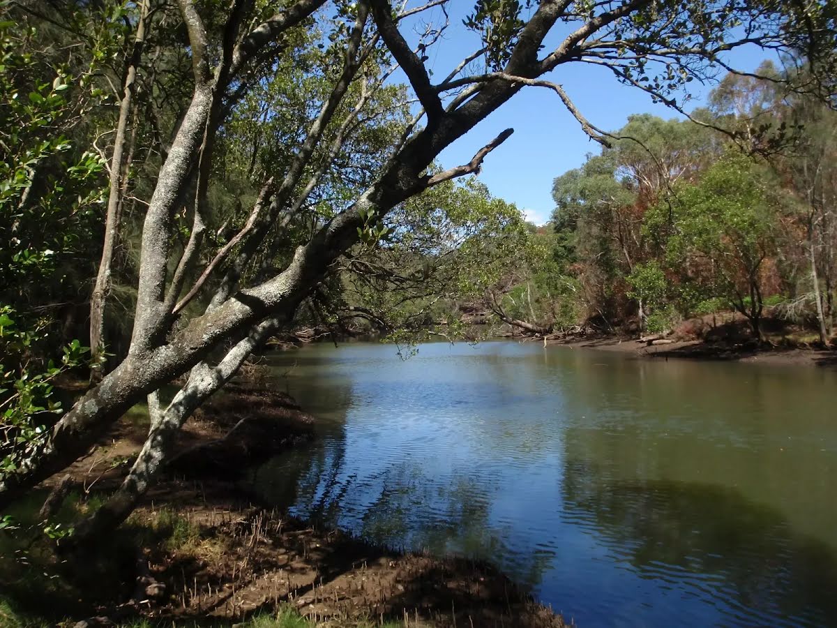
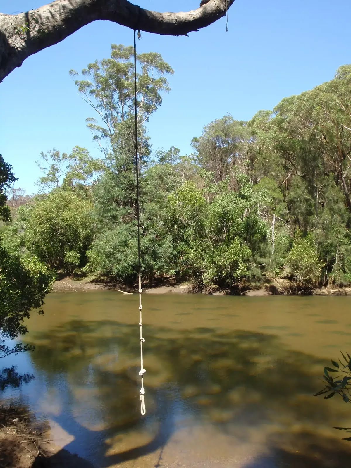
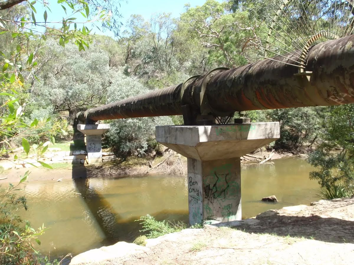
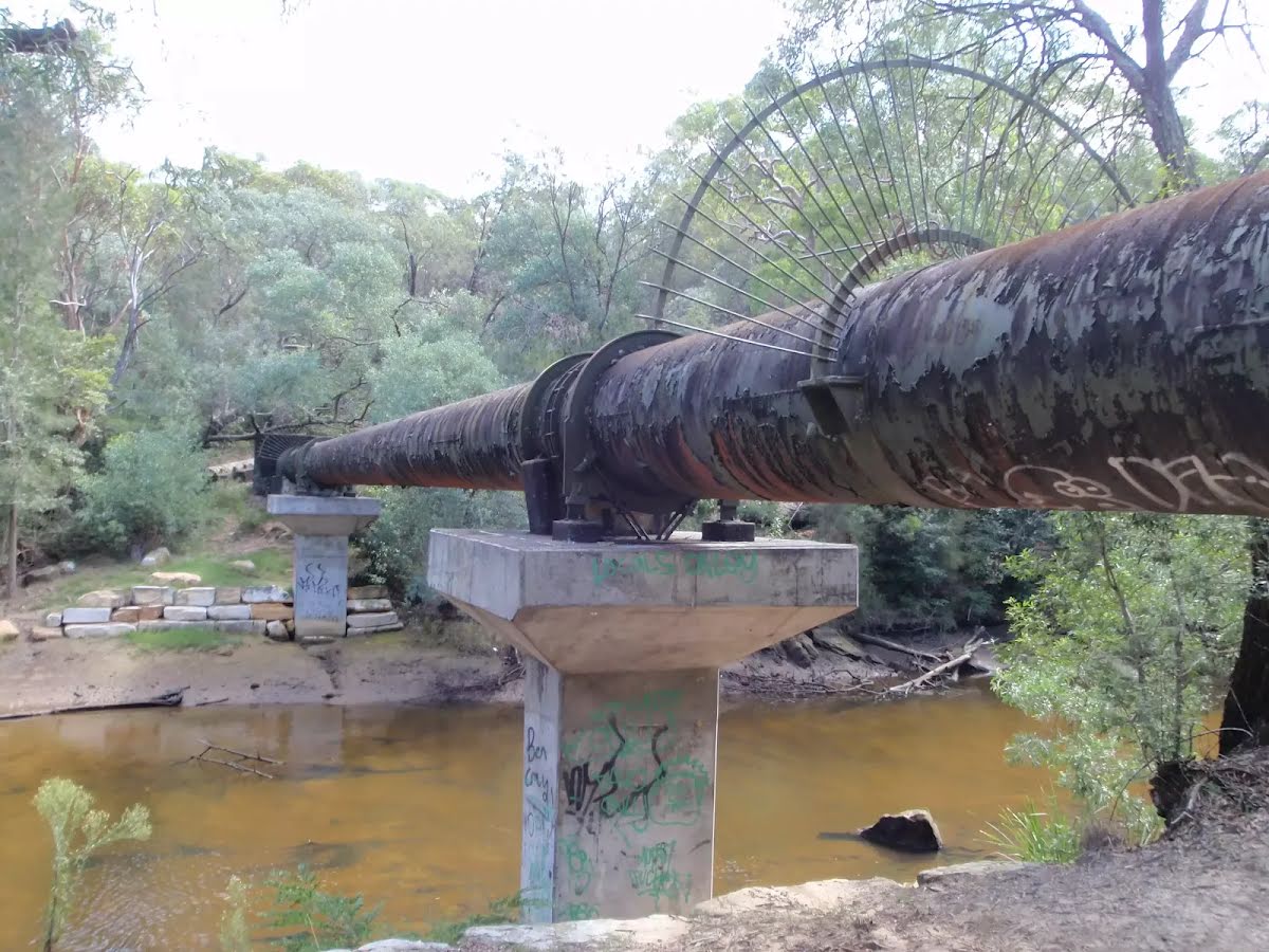
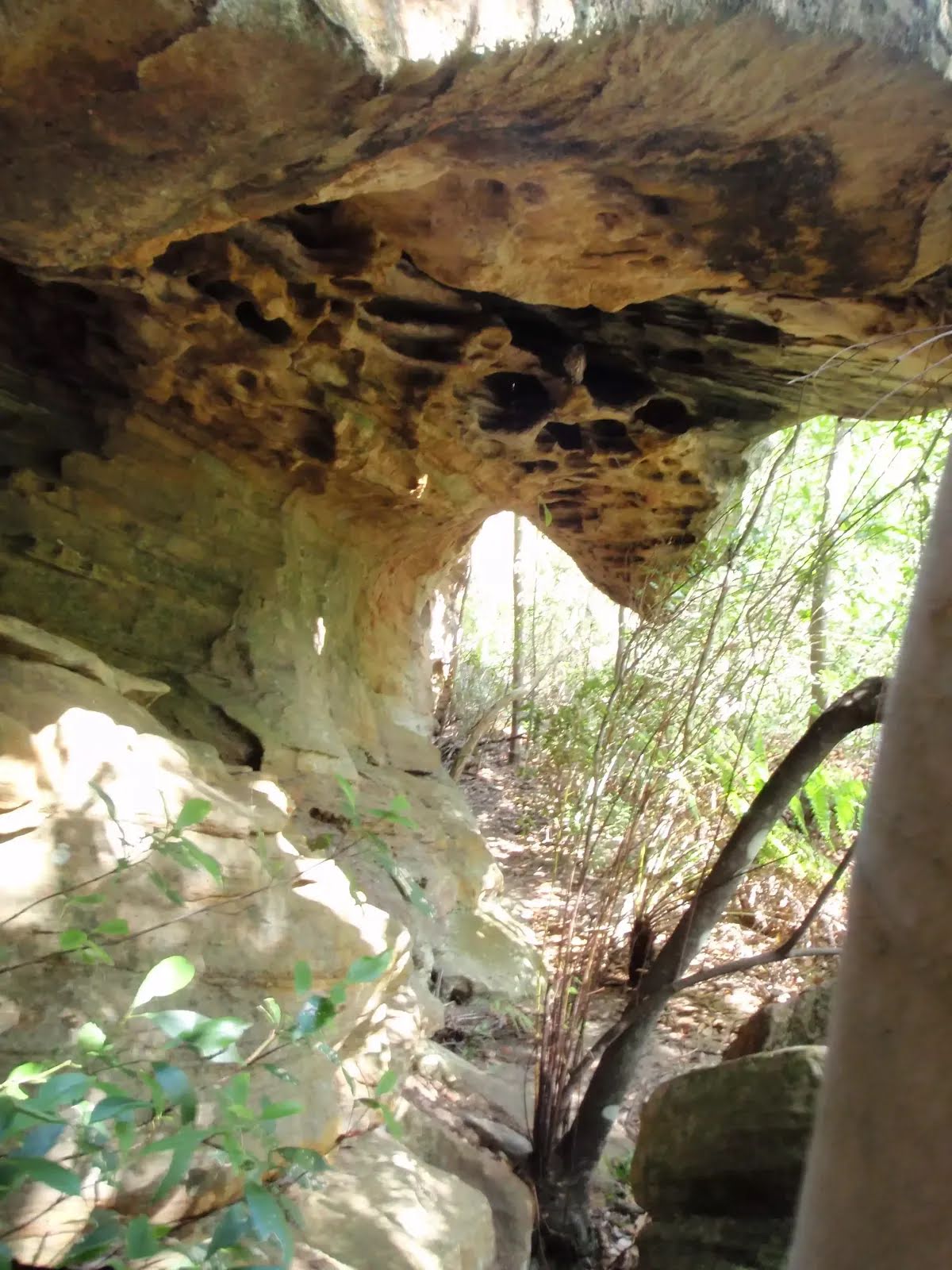
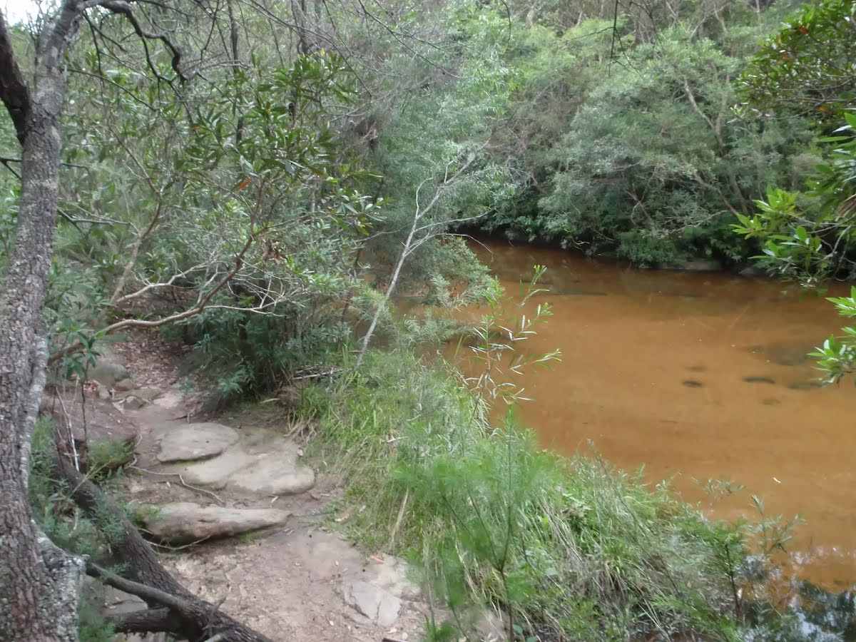
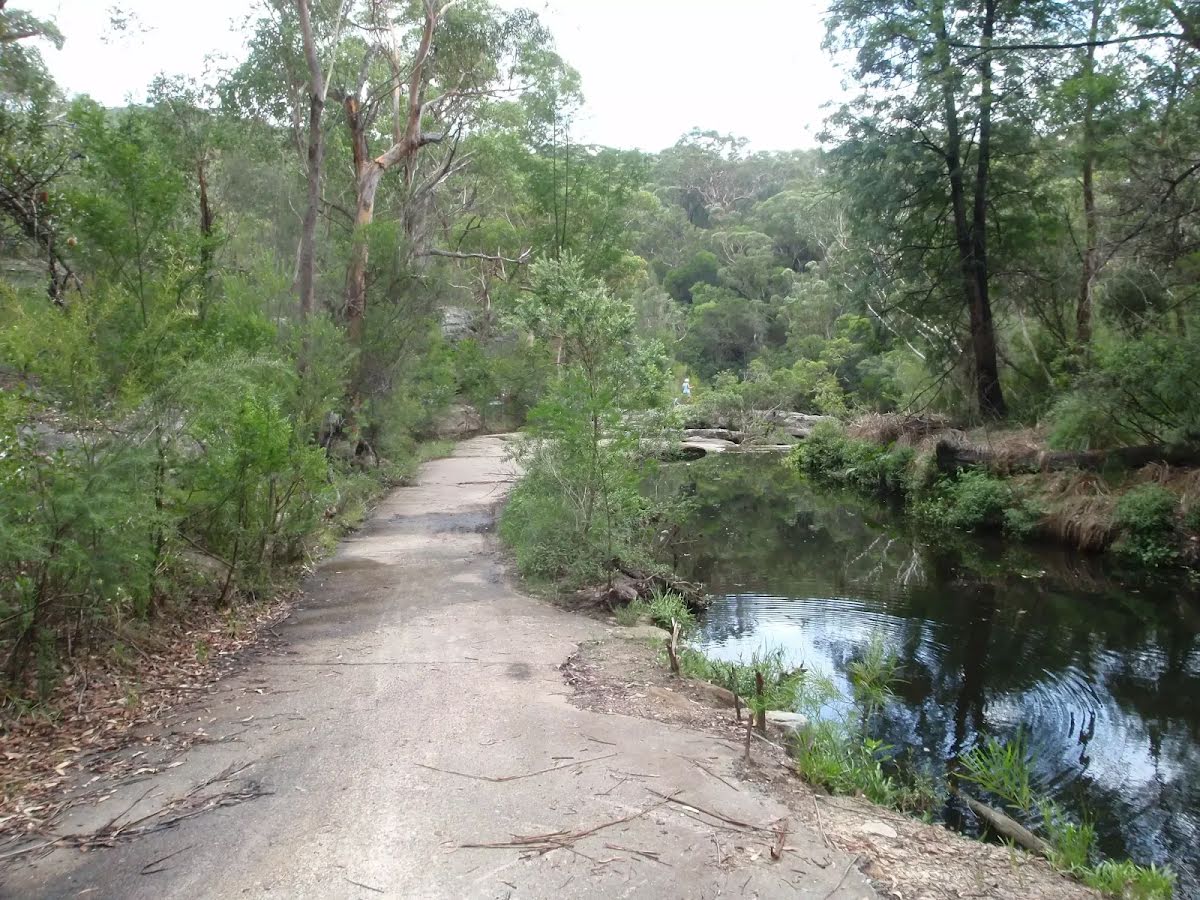
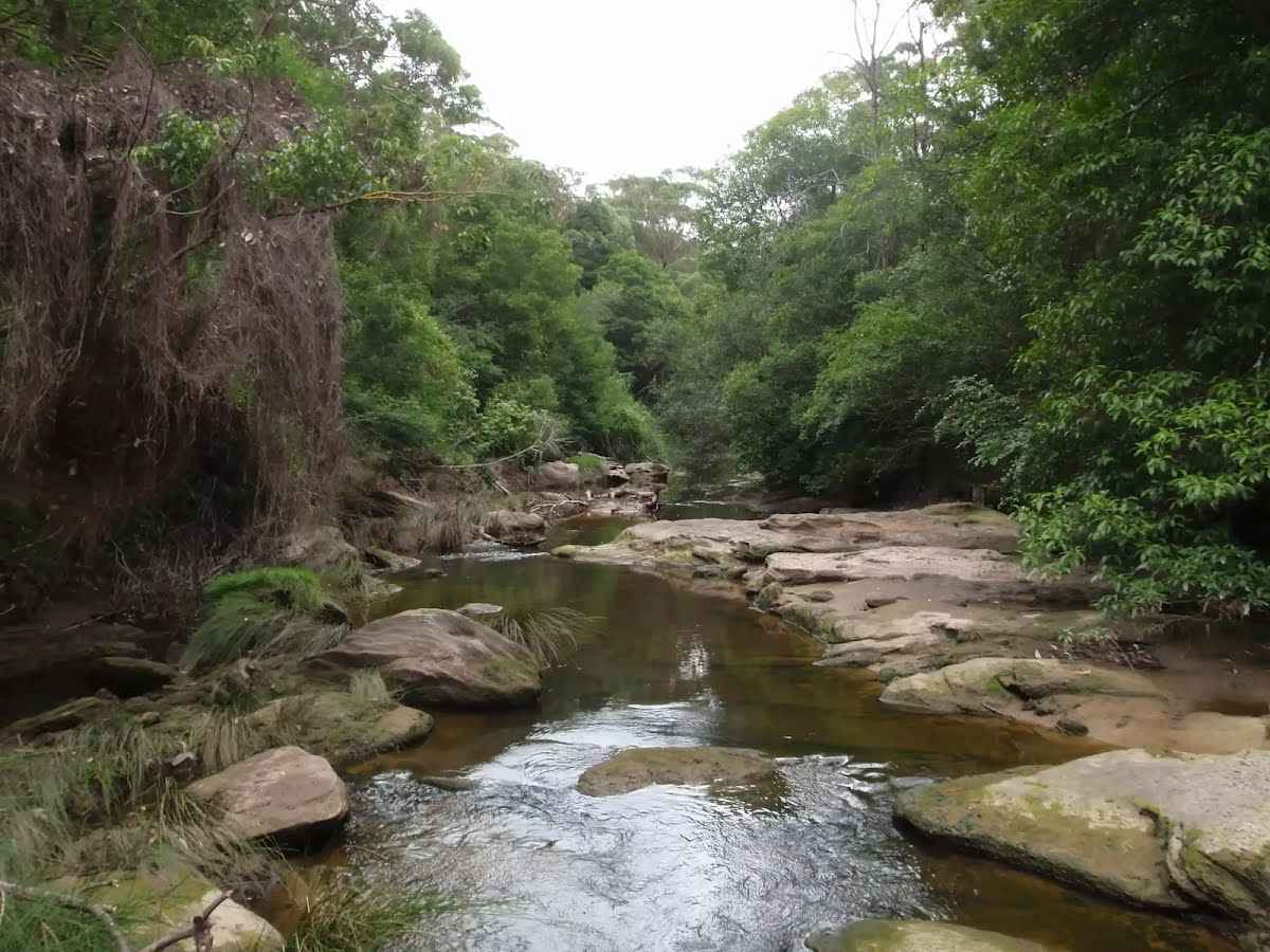
After another 130 m find the "Bungaroo" (30 m on your left).
|
|
|
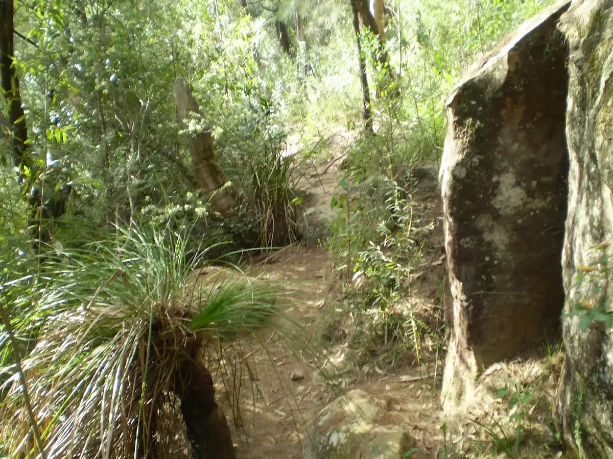
After another 125 m (from the Middle Harbour Track) turn left, to head along Middle Harbour Track.

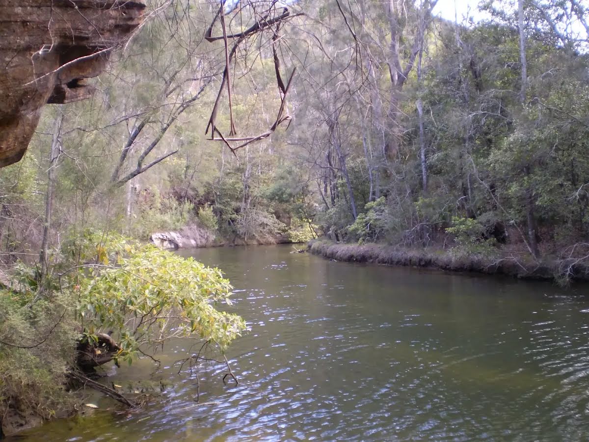
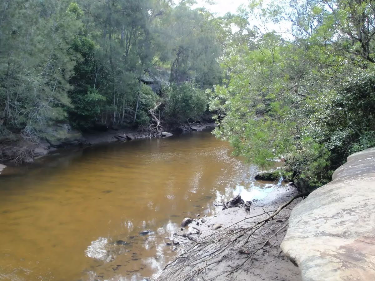
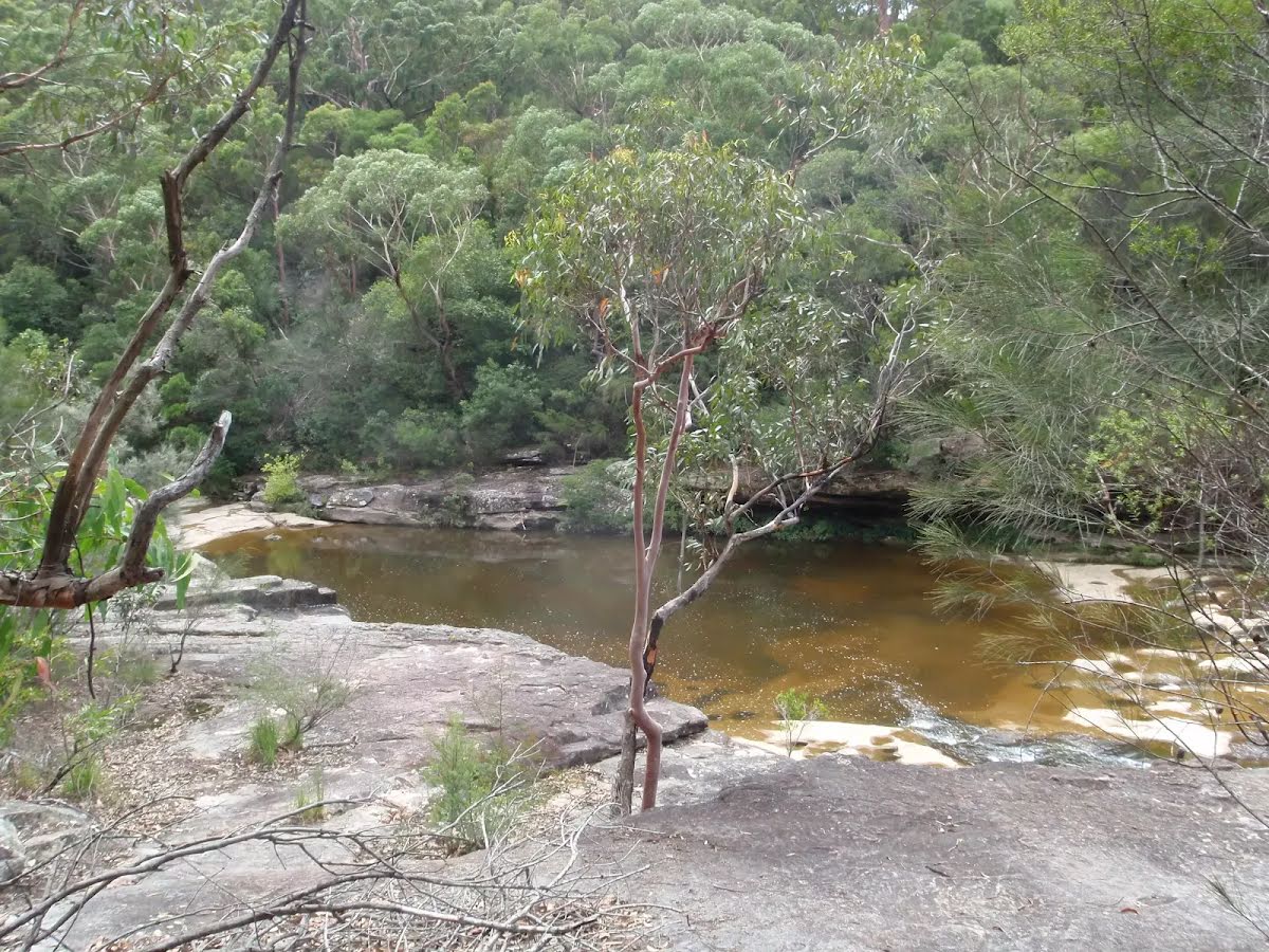
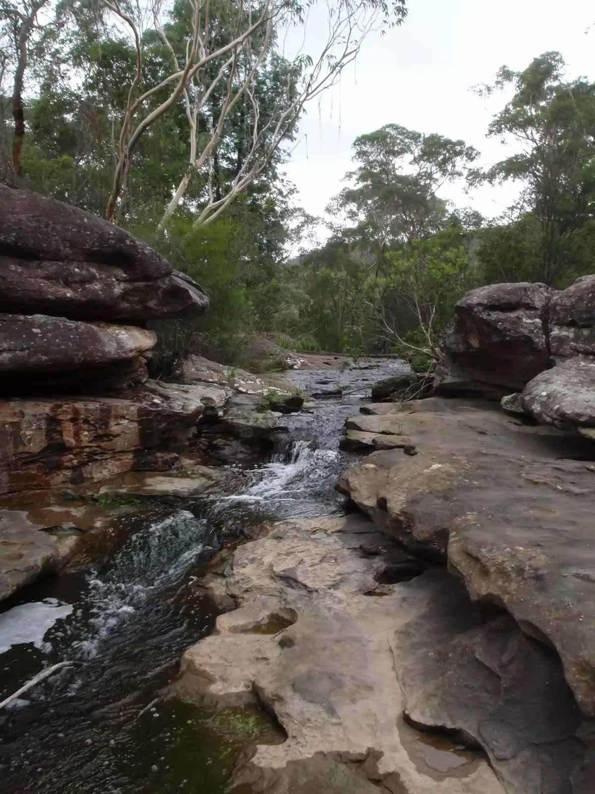
After another 110 m pass the waterfall (25 m on your right).
After another 2.3 km (at the intersection of Double B & Middle Harbour Track) continue straight, to head along Middle Harbour Track.
|
|
|
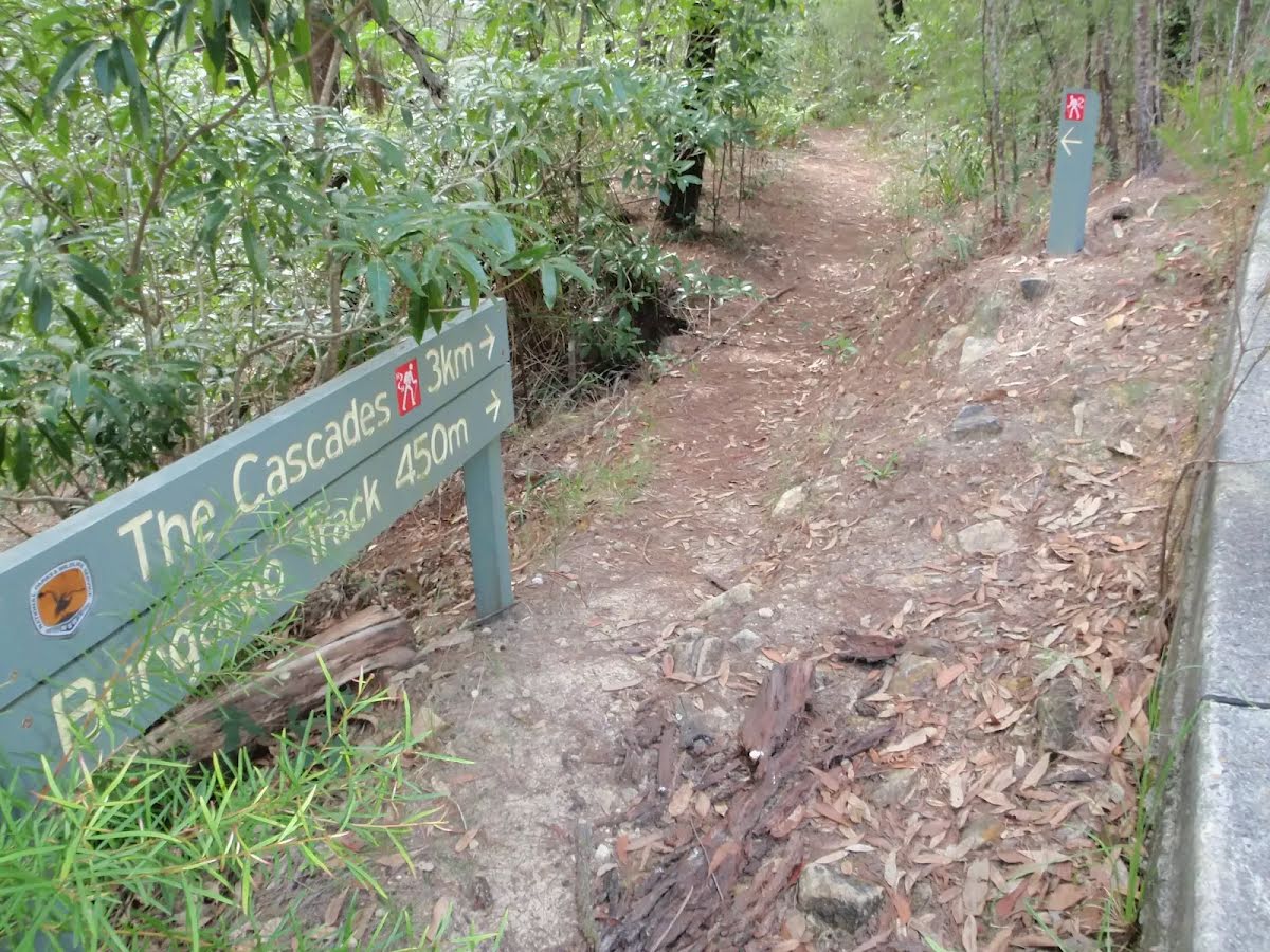
After another 50 m (at the intersection of Cascades Trail & Middle Harbour Track) turn left, to head along Cascades Trail (a vehicle track).

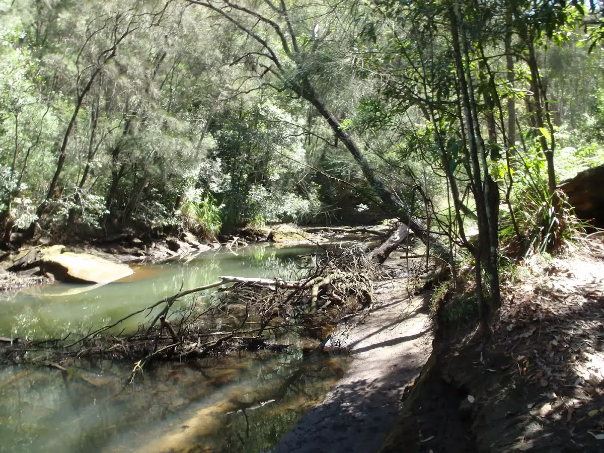
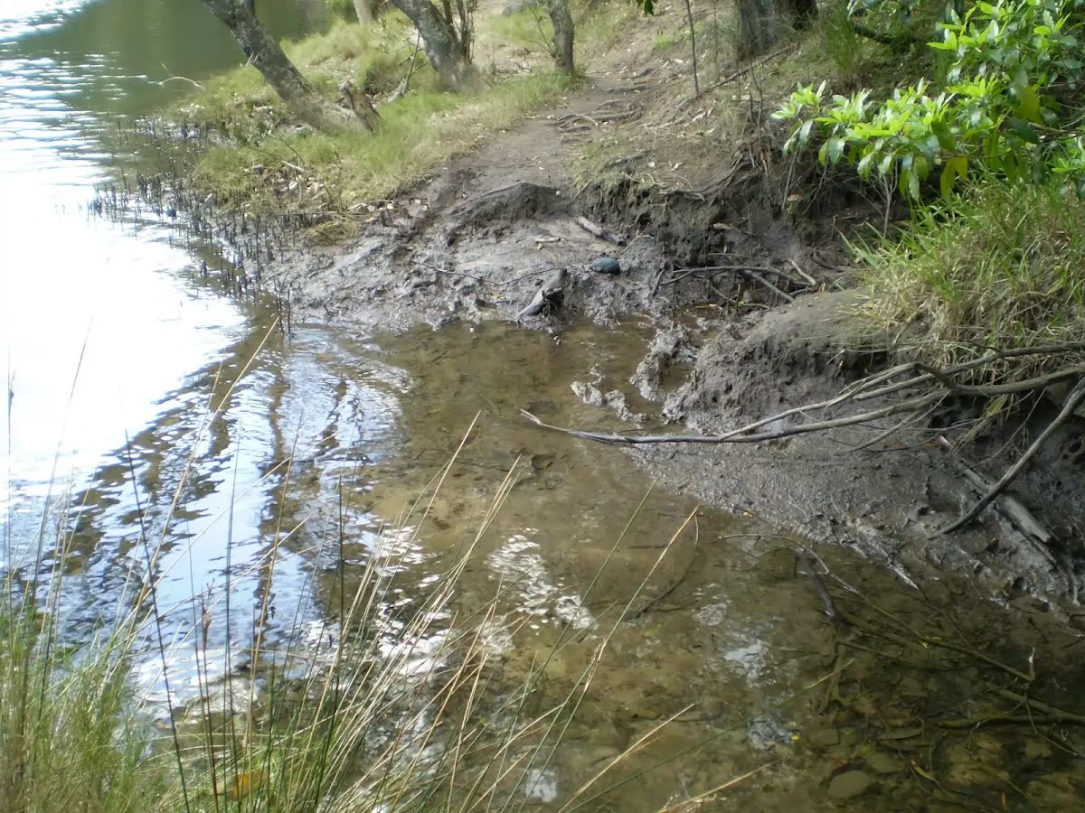
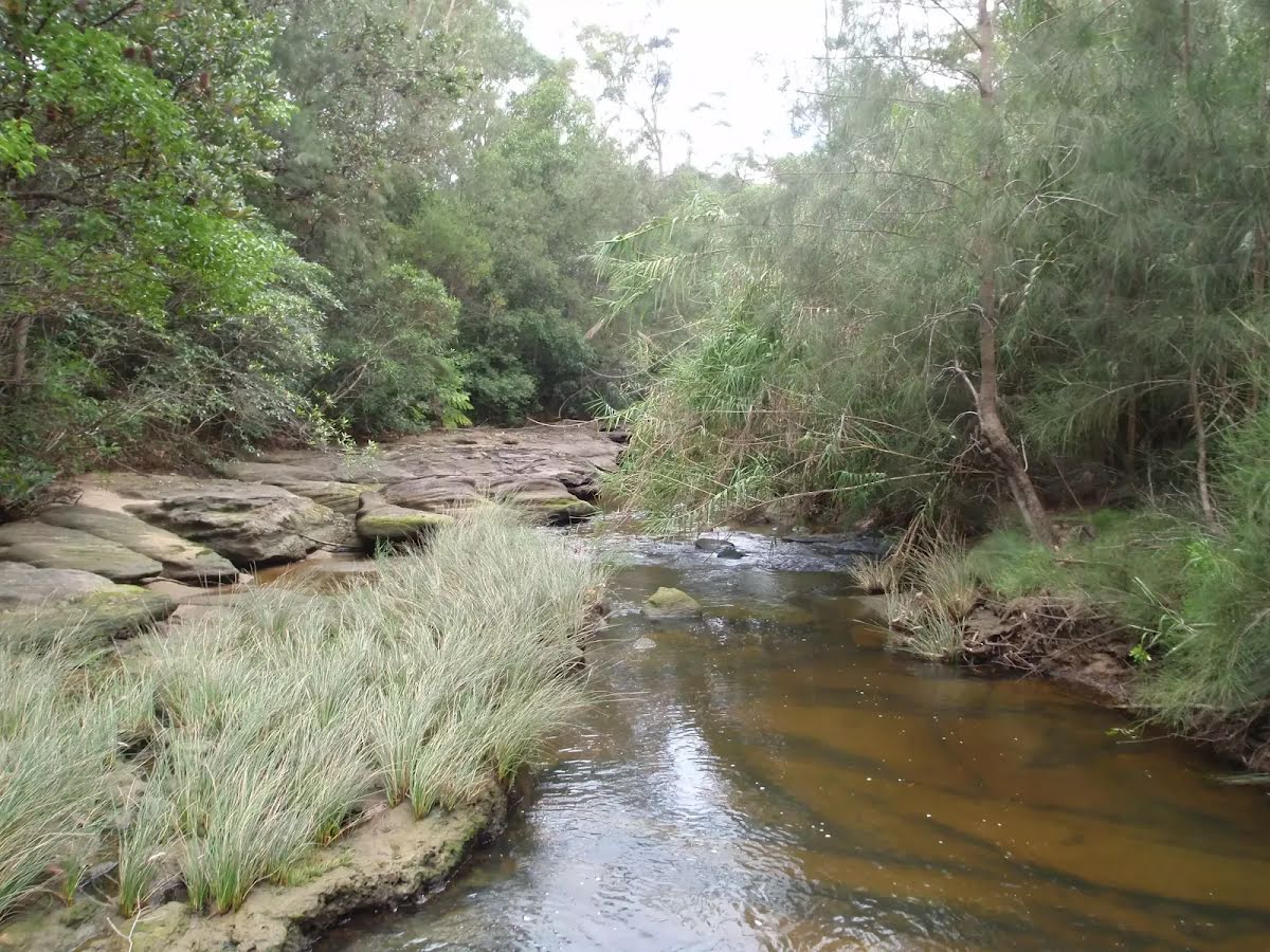
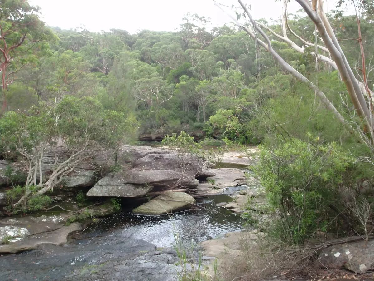
After another 15 m cross the ford.
Then find the "The Cascades" (on your left).
After another 165 m cross the ford (about 15 m long)
|
|
|
After another 115 m (at the intersection of Cascades Trail & Bare Creek Trail) continue straight, to head along Cascades Trail.
After another 500 m (at the intersection of Cascades Trail & Lower Cambourne Track) continue straight, to head along Cascades Trail.
|
|
|

After another 65 m (at the intersection of Cascades Trail & Upper Cambourne Track) turn right, to head along Upper Cambourne Track (a walking track).
|
|
|
After another 400 m (from the Upper Cambourne Track) continue straight, to head along Upper Cambourne Track.
|
|
|
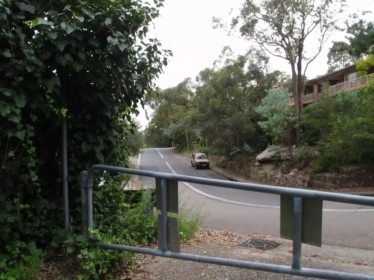
After another 160 m (at the intersection of Cambourne Avenue & Upper Cambourne Track) turn right, to head along Cambourne Avenue (a residential road).
|
|
|
After another 240 m (at the intersection of Cambourne Avenue & Kenwyn Close) continue straight, to head along Cambourne Avenue.
After another 750 m pass the "Blackburn Park" (10 m on your right).

After another 105 m pass the playground (20 m on your right).
|
|
|
At the intersection of Blackburn Street & Acron Road turn right, to head along Blackburn Street.
|
|
|
After another 210 m (at the intersection of Blackburn Street & Whitehaven Street) turn right, to head along Whitehaven Street.
|
|
|
After another 325 m (at the intersection of Whitehaven Street & Linigen Place) continue straight, to head along Whitehaven Street.
|
|
|
After another 80 m (at the intersection of Roma Road & Whitehaven Street) turn right, to head along Roma Road.
|
|
|
After another 145 m (at the intersection of Jessica Gardens & Roma Road) continue straight, to head along Roma Road.
|
|
|

After another 45 m (at the intersection of Kitchener Street Trail & Roma Road) veer left, to head along Kitchener Street.
|
|
|
After another 50 m (at the intersection of Trevalgan Place & Kitchener Street) continue straight, to head along Kitchener Street.
|
|
|
After another 145 m (from the Kitchener Street) continue straight, to head along Kitchener Street.
|
|
|
After another 60 m (at the intersection of Mona Vale Road & Kitchener Street) continue straight, to head along Kitchener Street.
|
|
|
After another 410 m (at the intersection of Green Valley Avenue & Kitchener Street) continue straight, to head along Kitchener Street.
After another 90 m (from the Kitchener Street) continue straight, to head along Kitchener Street.
|
|
|
After another 610 m (from the Management Trail) turn left.
|
|
|
After another 1.4 km (at the intersection of Warrimoo Avenue & Phillip Road) turn right, to head along Warrimoo Avenue.
|
|
|
After another 120 m (at the intersection of Milburn Place & Warrimoo Avenue) continue straight, to head along Warrimoo Avenue.
|
|
|

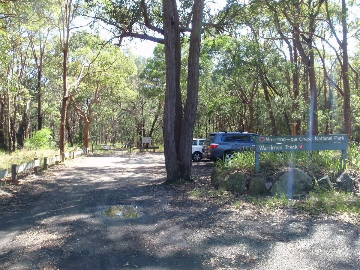
After another 100 m come to the end.

About 35 m past the end is "Ku-ring-gai National Park - Carpark".
|