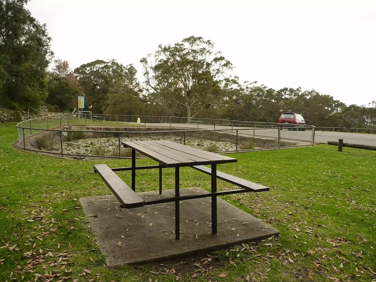
Closed areas: Sugarloaf SCASome parts of Sugarloaf State Conservation Area will be closed from Wednesday 23 October to Saturday 30 November 2024 while Road Maintenance is occurring. The closed areas are:
- Quarry Trail
- Ryhope Trail
Penalties apply for non-compliance. For more information, contact the local NPWS office (02) 4946 4100
Closed areas: Parts of Sugarloaf State Conservation Area closedParts of Sugarloaf State Conservation Area are closed for approved underground mining operations. The affected areas (
see map) have been closed to protect visitor safety, because they're subject to subsidence and remediation activities from the mining operations.
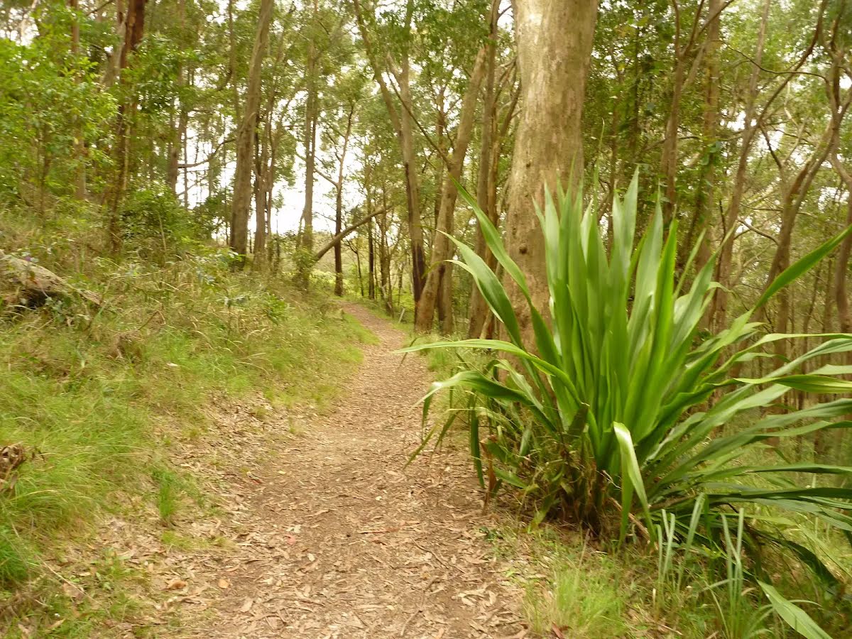
Great North walk remains open. An update will be provided should this situation change.
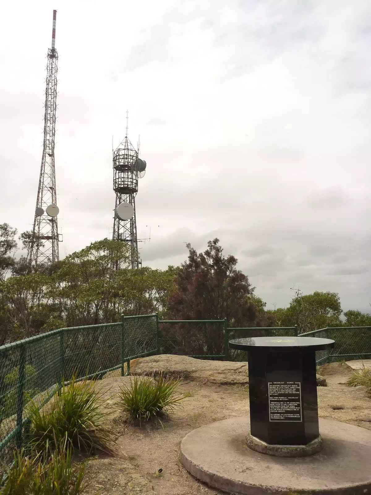
If you're visiting the park, please be aware of subsidence and pollution incidents that took place in 2013, which were greater than what was expected from normal mining operations. These included a cliff fall in the north, and a subsidence and grout leak incident in the central part of Sugarloaf State Conservation Area.
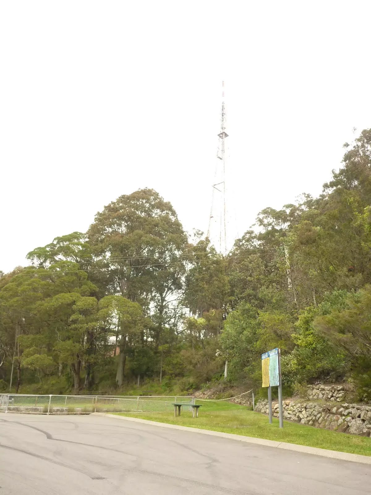
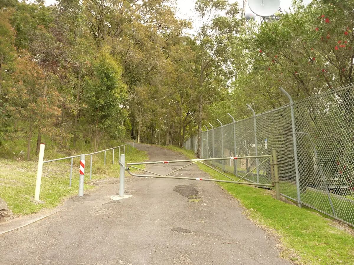
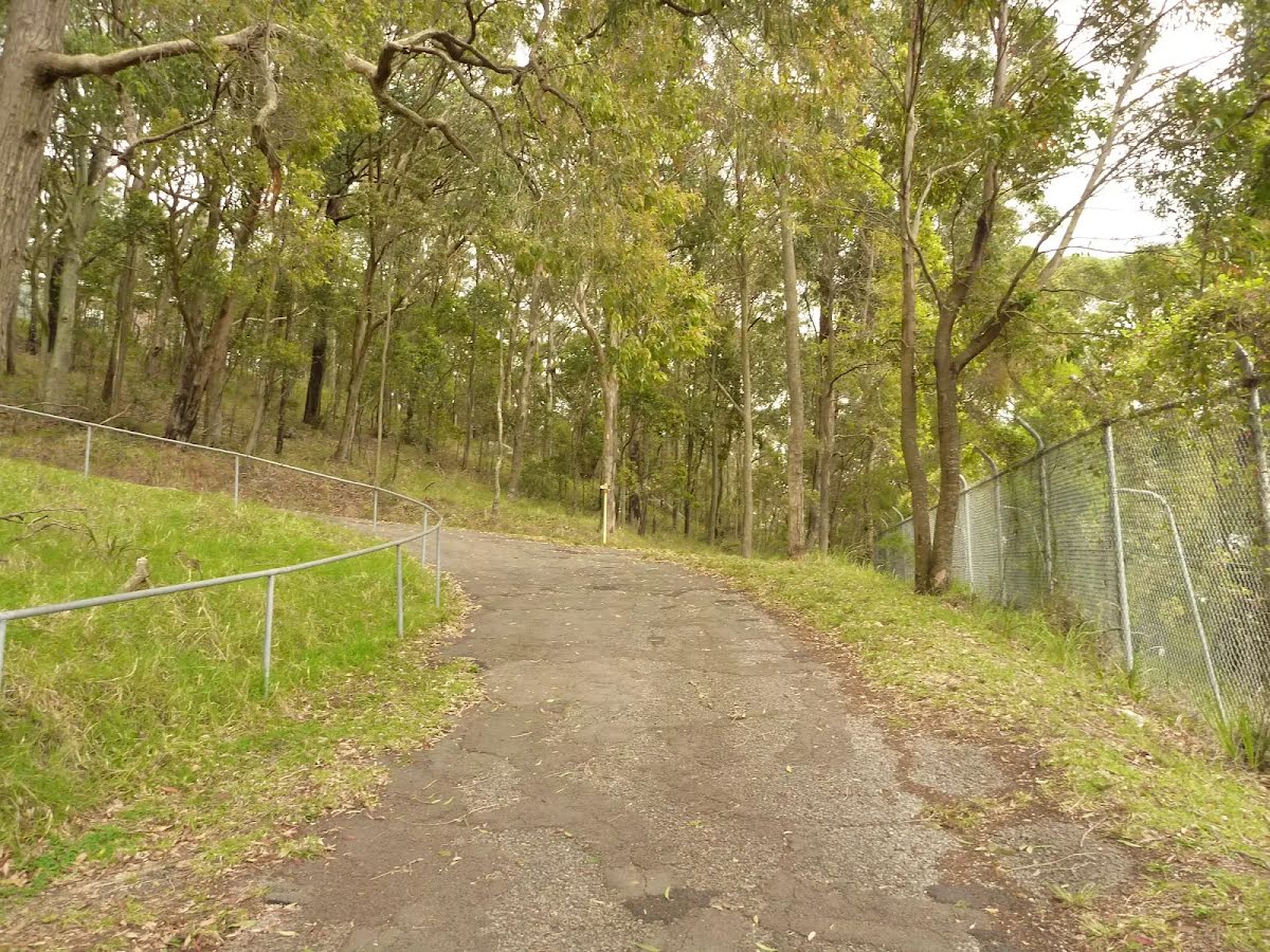
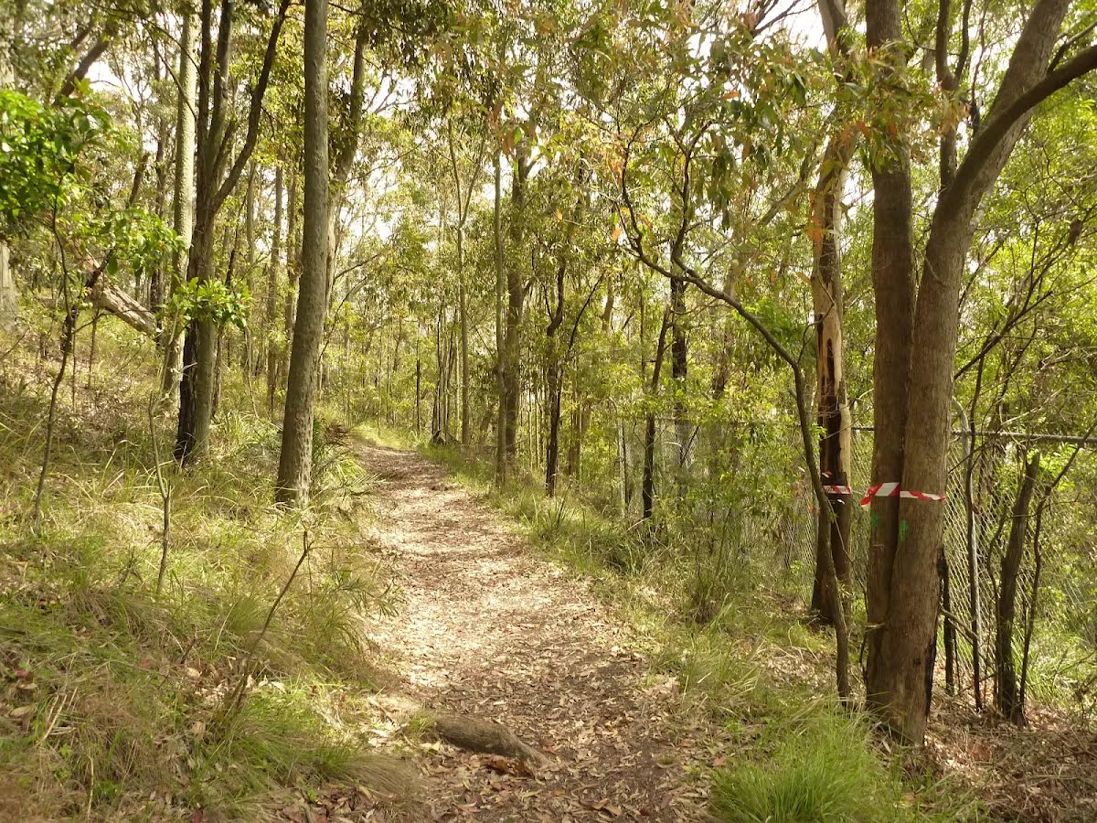
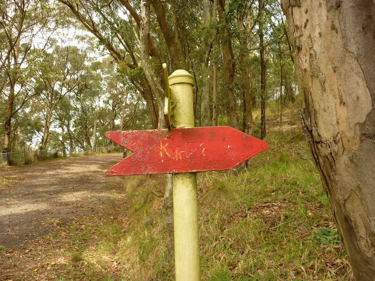
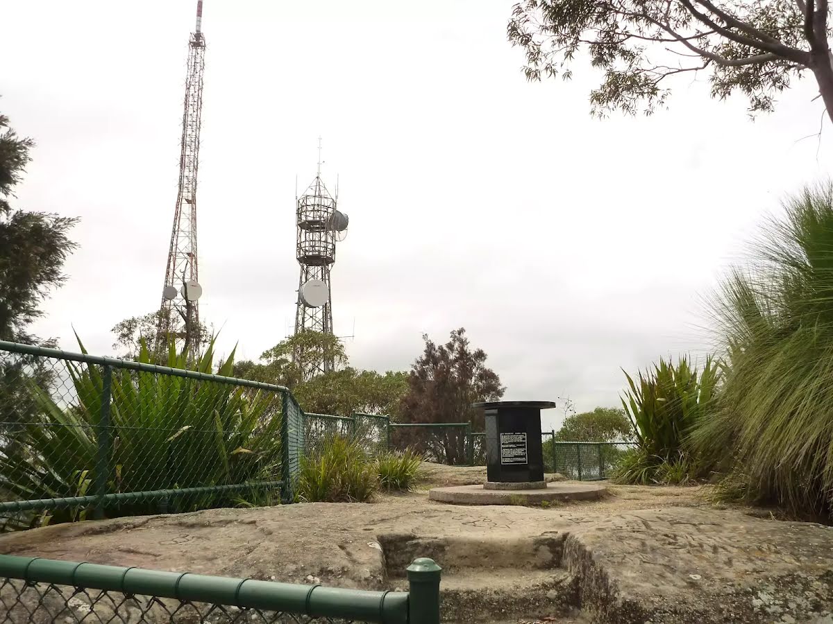
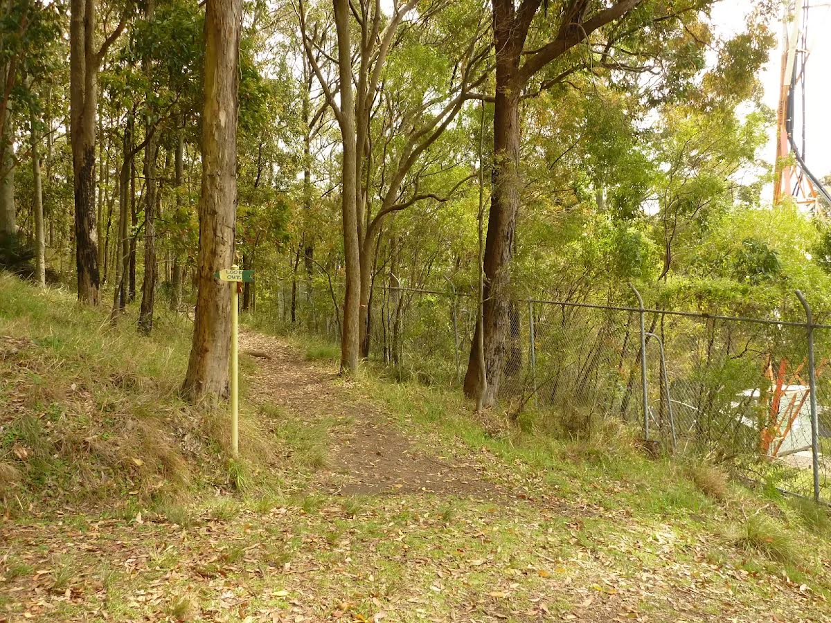
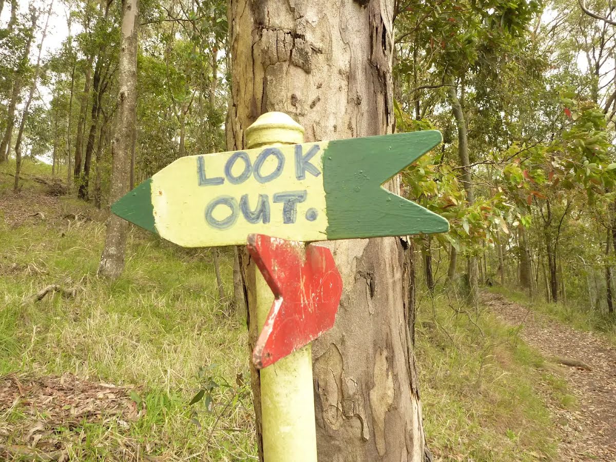
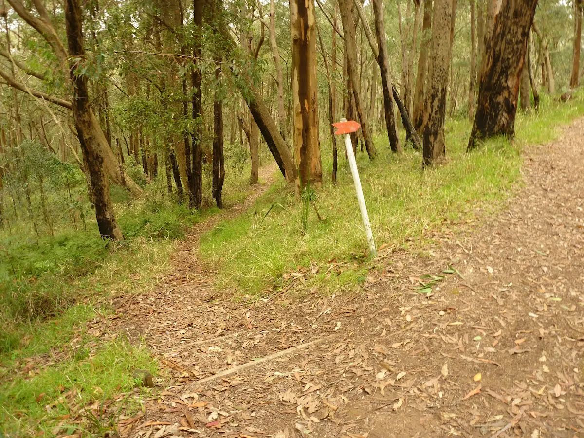
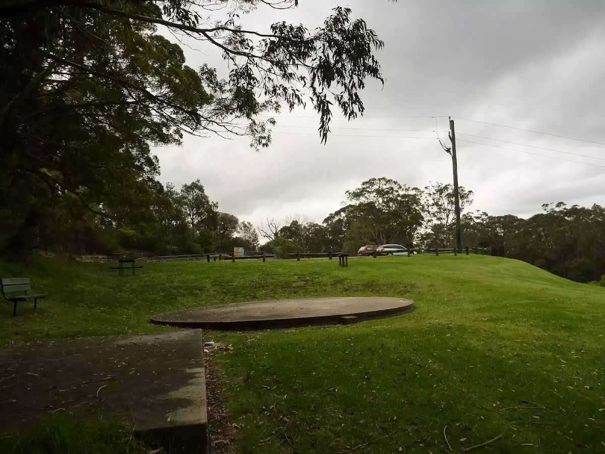
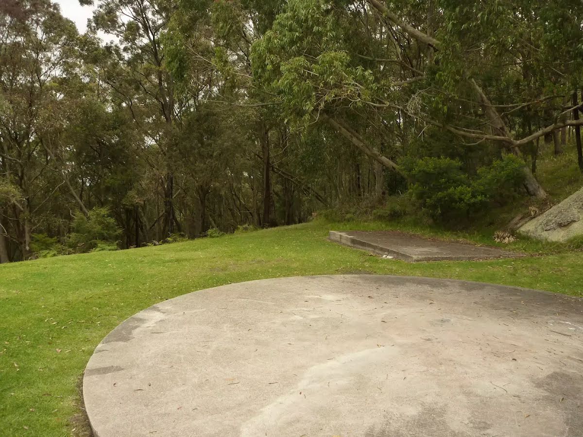
If you're planning to visit the park during this time, please stay on formed tracks and trails and observe all barriers, warning signs and safety messages. Areas subject to possible cliff fall or subsidence in both areas of the park are clearly marked.
For more information, call the NPWS Lower Hunter area office on 02 4946 4100.
NSW National Parks safety page.
Alert kindly provided by © NSW Nataional Parks and Wildlife Service