Maitland Bay Track
Darkinjung & Guringai Country

1 h to 1 h 15 min

2.2 km
return

↑ 156 m
↓ -156 m

Hard track
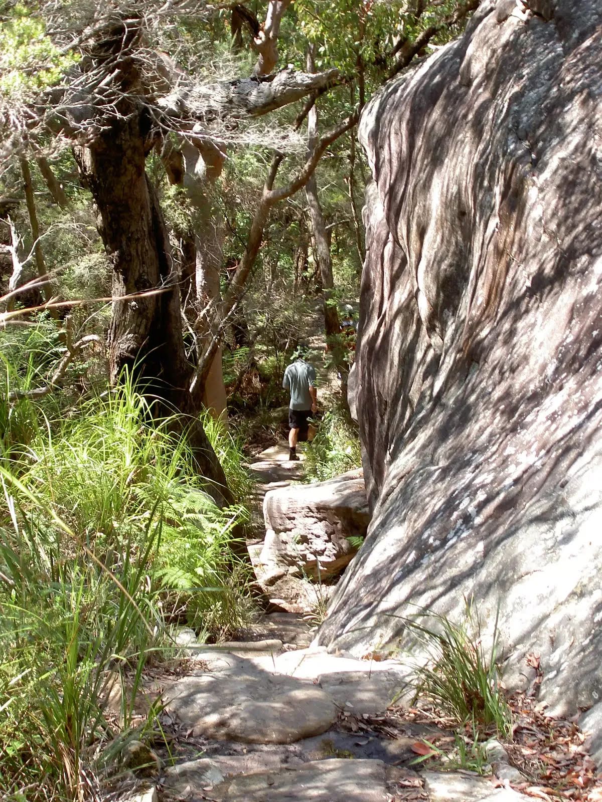
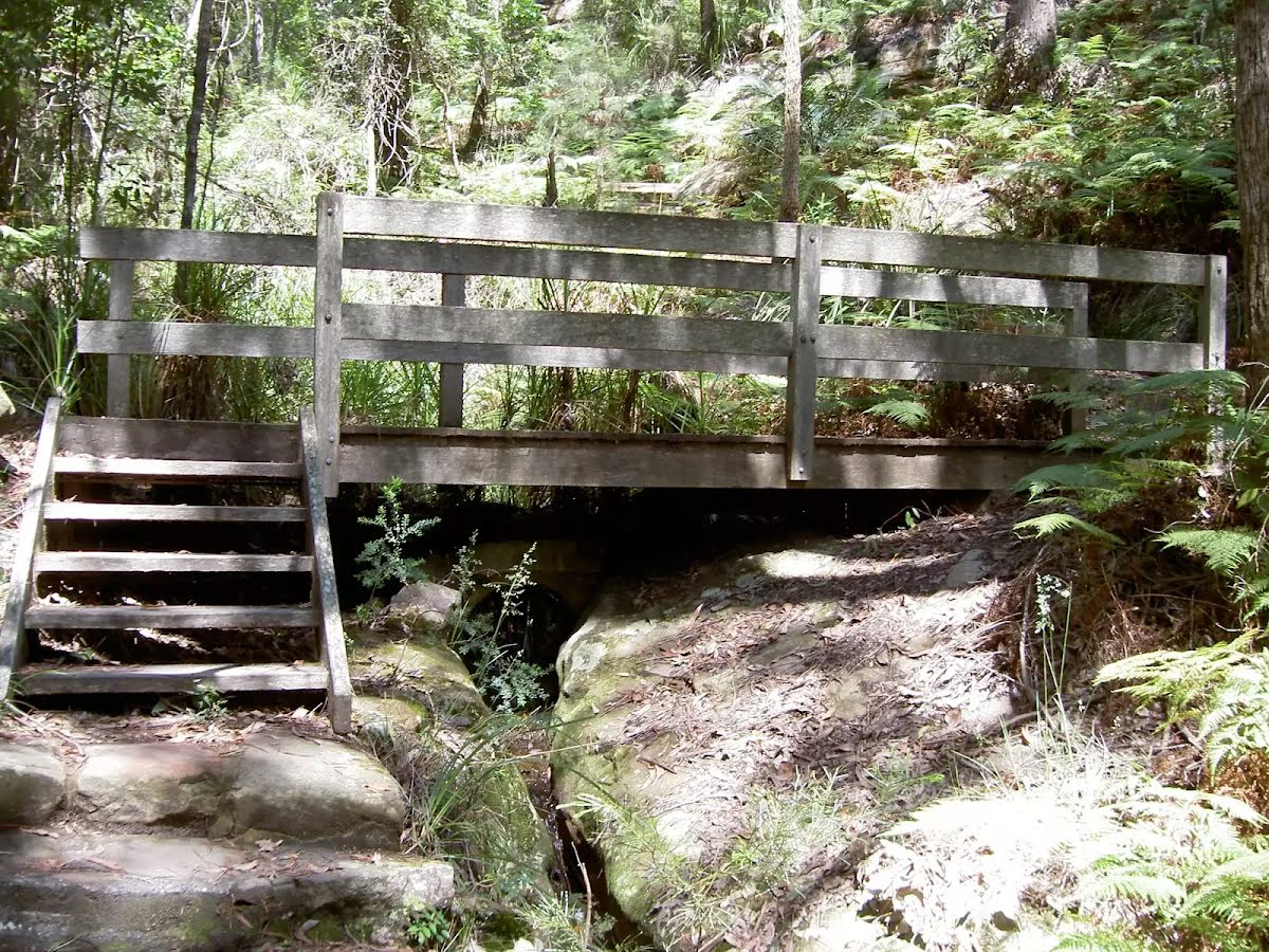
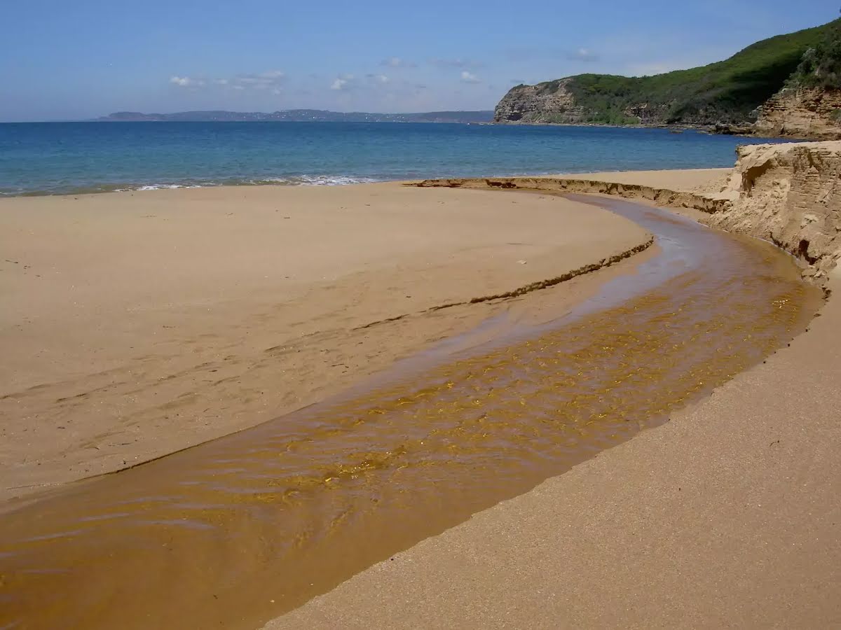
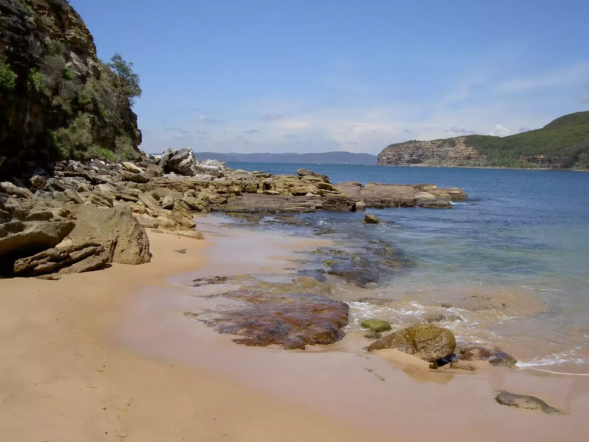
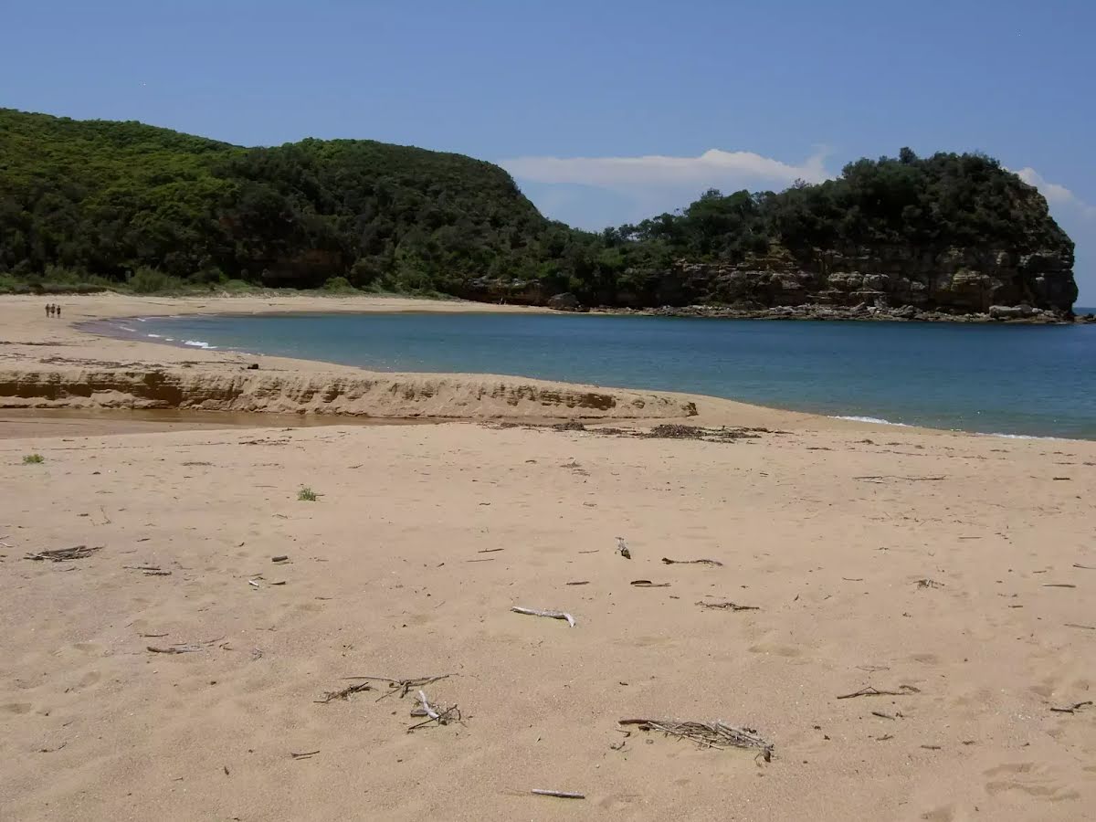
From Maitland Bay Information Centre, this walk heads straight down the hill to Maitland Beach. On the way down, the track passes many rock landings which act as lookouts over Maitland Bay and the lush bush of the surrounding gullies. Maitland Bay Beach itself is a wonderful sandy beach which is popular for swimming (although there are no beach patrols). Let us begin by acknowledging the Darkinjung & Guringai people, Traditional Custodians of the land on which we travel today, and pay our respects to their Elders past and present. 
Show all
Maitland Bay Information Centre and S.S.Maitland Bell. | Photo by admin
Rock outcrop on right of track. | Photo by admin
Maitland Bay Track bridge. | Photo by admin
Tumble Weed. | Photo by admin
Maitland Bay Creek. | Photo by admin
Maitland Bay North Eastern headland. | Photo by admin
Rock formations on Maitland Beach rock. | Photo by admin
Bell from S.S.Maitland. | Photo by admin
Maitland Bay Beach. | Photo by admin
Downloads GPX PDF

+
-
Safer Bushwalks
Tips on staying safe on track
Before you start any bushwalk ensure you;
• Tell someone you trust where you are going and what to do if you are overdue
• Have adequate equipment, supplies, skills & knowledge for the whole journey
• Consider the impact of weather forecasts, park/track closures & fire dangers
• Can respond to emergencies & call for help at any point
• Are healthy and fit enough for this journey
If not, change plans and stay safe. It is okay to delay and ask people for help.
+
-
Getting There
Transport options and directions
Start (-33.520005,151.3826623)
Mode Car (There is free parking available.)
DirectionsFrom Empire Bay Drive
  • Turn on to Wards Hill Road then drive for 1.1 km
  • Turn sharp left onto Maitland Bay Drive and drive for another 1.4 km
  • Turn right onto The Scenic Road and drive for another 9 m
+
-
Track Notes
Turn by turn instructions & maps
Getting started
From the information centre, the walk passes the information sign to the start of the car park. From the car park, the walk follows the Maitland Bay sign left, down the hill. The walk then heads down the staircase for some time to a signposted intersection.
Veer left: From the intersection, the walk follows the bush track down the staircase. The walk winds through the forest, passing a rock platform with nice views over Maitland Bay. The track continues down the hill from the rock platform, keeping the rock face to the right and an overhang to the left, continuing for some time before crossing over a wooden bridge and going down more steps to a signposted intersection.....
Turn map Directions & comments
Start.
After another 45 m turn left.
Then pass the "Maitland Bay Information Centre" (15 m on your left).
After another 20 m find the "Maitland Bay Information Centre" (5 m on your left).
Maitland Bay Information Centre

Maitland Bay Information Centre, was once the old Maitland Store and residence. The store was a influential piece of infrastructure as it acted as a meeting place for Trustees and a hub for early tourism. Today the store is still a hub for tourism but as an Information Centre open on weekends and public holidays. As well as information on the area there is also parking, a public phone and drinking water.
+
-
Maitland Bay Information Centre, was once the old Maitland Store and residence. The store was a influential piece of infrastructure as it acted as a meeting place for Trustees and a hub for early tourism. Today the store is still a hub for tourism but as an Information Centre open on weekends and public holidays. As well as information on the area there is also parking, a public phone and drinking water.

Then pass the car park (5 m on your right).
After another 5 m continue straight.
After another 15 m pass the water tap (8 m on your left).
After another 6 m pass the sign (7 m on your left).
Then head down the earthen steps (about 115 m long)
Then head down the stone steps (about 60 m long)
After another 30 m continue straight.
After another 95 m head down the surface|sand steps (about 135 m long)
Then head down the stone steps (about 105 m long)
Then head down the stone steps (about 70 m long)
Then cross the bridge (about 6 m long)
Then head down the surface|wood steps (about 2 m long)
After another 400 m continue straight.
After another 55 m pass the "Bouddi Coastal Walk" (7 m on your left).
After another 75 m head down the surface|paving_stones steps (about 20 m long)
After another 85 m pass the sign (9 m on your right).
Continue another 20 m to find the end. Then turn around here and retrace the main route for 1.1 km to get back to the start.
+
-
Terrain
Know the Hills, grading & facilities

Maitland Bay Track


Grading
Class 4/6
Hard track
Length 2.2 km
Time 1 h to 1 h 15 min
Quality of track Formed track, with some branches and other obstacles (3/6)
Gradient Short steep hills (3/6)
Signage Minimal directional signs (4/6)
Infrastructure Limited facilities (such as cliffs not fenced, significant creeks not bridged) (4/6)
Experience Required No experience required (1/6)
Weather Weather generally has little impact on safety (1/6)
+
-
Articles
Discover more details to thrive on track
+
-
Reviews & Feedback
Share your experience
+
-
Weather & Alerts
Check forecasts & closures
Show Full Weather
Alerts and Closures
Show all alerts
Show all alerts
Show all alerts
+
-
Other Journeys
Discover nearby and similar journeys
Some of the information and maps on this page was generated using data from the awesome © OpenStreetMap contributors.
Please see how you can embed some widgets, access data and other stuff to that might be helpful.