Coastal Walking Track
Awabakal Country

1 h 30 min to 2 h 30 min

5.1 km
circuit

↑ 132 m
↓ -132 m

Hard track
Starting from the end of Spoon Rocks Road this circuit walk takes you from Caves Beach to Pinny Beach where you can have a swim and then continue to the headland with great views over the coast and ocean. Let us begin by acknowledging the Awabakal people, Traditional Custodians of the land on which we travel today, and pay our respects to their Elders past and present. 
Show all
Downloads GPX PDF

+
-
Safer Bushwalks
Tips on staying safe on track
Before you start any bushwalk ensure you;
• Tell someone you trust where you are going and what to do if you are overdue
• Have adequate equipment, supplies, skills & knowledge for the whole journey
• Consider the impact of weather forecasts, park/track closures & fire dangers
• Can respond to emergencies & call for help at any point
• Are healthy and fit enough for this journey
If not, change plans and stay safe. It is okay to delay and ask people for help.
+
-
Getting There
Transport options and directions
Start (-33.1203552,151.644115)
Mode Car
DirectionsFrom Pacific Highway, A43
  • Turn on to Old Pacific Highway Exit then drive for 330 m
  • At roundabout, take exit 2 onto Old Pacific Highway and drive for another 215 m
  • At roundabout, take exit 2 onto Old Pacific Highway and drive for another 550 m
  • Keep right onto Pacific Highway Onramp and drive for another 1.8 km
  • At roundabout, take exit 3 onto Bowman Street and drive for another 760 m
  • Turn left onto Caldwell Street and drive for another 95 m
  • Turn right onto Macquarie Grove and drive for another 980 m
  • Turn left onto Middle Street and drive for another 300 m
  • Turn right onto Caves Beach Road and drive for another 1.1 km
  • Continue onto Spoon Rocks Road and drive for another 420 m
+
-
Track Notes
Turn by turn instructions & maps
Turn map Directions & comments
Start.
Find the gate at the start.
After another 75 m continue straight.
After another 320 m turn left.
After another 250 m veer left.
After another 70 m continue straight.
After another 165 m veer right.
After another 235 m veer left.
After another 15 m veer right.
After another 20 m veer right.
After another 20 m find the "Pinneys Lookout" (6 m on your left).
Pinneys Lookout
Pinneys Lookout

Pinney's Lookout overlooks the northern side of Pinney's Beach on the Wallarah Peninsula. From this timber platform, the whole of Pinney's Beach can be seen, including Pinney's Headland to the south. Some of the timber on this lookout was missing when visited, so take care.
+
-
Pinney's Lookout overlooks the northern side of Pinney's Beach on the Wallarah Peninsula. From this timber platform, the whole of Pinney's Beach can be seen, including Pinney's Headland to the south. Some of the timber on this lookout was missing when visited, so take care.

After another 30 m find the "Pinneys Beach" (145 m on your left).
Pinneys Beach
Pinneys Beach

Pinney's Beach is a good beach for fishing, surfing and swimming. This beach is accessible on foot, via the coastal walk. This beach is not patrolled and rock platforms can be dangerous, even when the seas appear calm. Personal fishing is permitted off all the coast in Wallarah National Park, although a licence is needed. A midden (dated to about 1200 years old), with about 20 stone artefacts, was discovered here in the 1960s, but unfortunately 4WD vehicles have caused erosion to this site.
+
-
Pinney's Beach is a good beach for fishing, surfing and swimming. This beach is accessible on foot, via the coastal walk. This beach is not patrolled and rock platforms can be dangerous, even when the seas appear calm. Personal fishing is permitted off all the coast in Wallarah National Park, although a licence is needed. A midden (dated to about 1200 years old), with about 20 stone artefacts, was discovered here in the 1960s, but unfortunately 4WD vehicles have caused erosion to this site.

Veer right.
After another 10 m cross the bridge (about 6 m long)
After another 15 m turn left.
After another 15 m head through/around the gate.
After another 85 m continue straight.
After another 10 m cross the bridge (about 15 m long)
The starting point of an optional sidetrip. Side trip to Pinney Beach. To start this optional side trip turn left here. On returning from this side trip continue straight when you get back to this intersection. Details below.
After another 3 m turn right.
After another 165 m head through/around the gate.
After another 135 m turn left, to head along West Pinney Trail.
After another 460 m (at the intersection of Southern Headland Trail & West Pinney Trail) turn left, to head along Southern Headland Trail.
After another 70 m (at the intersection of Southern Headland Trail & Shark Hole Trail) continue straight, to head along Southern Headland Trail.
After another 120 m continue straight, to head along Southern Headland Trail.
After another 135 m veer left.
After another 155 m pass the "Nudie Cave" (65 m on your right).
Continue straight.
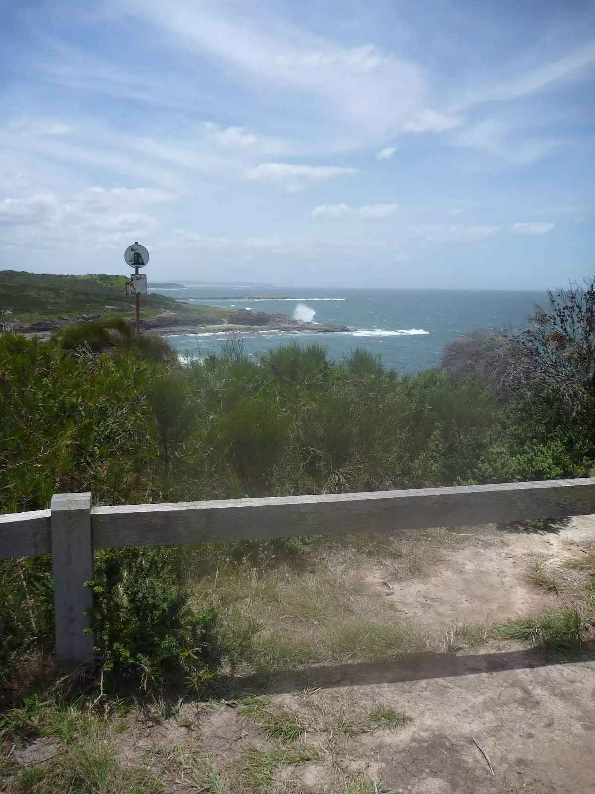
After another 65 m find the "Pinney's Headland Lookout" (30 m on your right).
Pinney's Headland Lookout

There are magnificent vistas from Pinney's Headland Lookout, particularly to the north. The headland is accessed on foot via the Wallarah Peninsula coastal walk, and the headland itself has a loop walking trail on it. At the southernmost point of this walking loop, there are unfenced rock platforms forming the ocean shoreline - take care.
+
-
There are magnificent vistas from Pinney's Headland Lookout, particularly to the north. The headland is accessed on foot via the Wallarah Peninsula coastal walk, and the headland itself has a loop walking trail on it. At the southernmost point of this walking loop, there are unfenced rock platforms forming the ocean shoreline - take care.

Then pass the "Pinny Cave" (85 m on your right).
After another 215 m continue straight, to head along Southern Headland Trail.
After another 120 m (at the intersection of Southern Headland Trail & Shark Hole Trail) continue straight, to head along Southern Headland Trail.
After another 70 m (at the intersection of West Pinney Trail & Southern Headland Trail) turn right, to head along West Pinney Trail.
After another 460 m turn right.
The starting point of an optional sidetrip. Side trip to Pinney Beach. To start this optional side trip continue straight here. On returning from this side trip turn right when you get back to this intersection. Details below.
After another 300 m turn left.
After another 30 m continue straight.
After another 95 m turn right.
After another 15 m cross the bridge (about 6 m long)
After another 10 m veer left.
After another 40 m veer left.
After another 35 m veer right.
After another 235 m veer left.
After another 165 m continue straight.
After another 70 m veer right.
After another 240 m turn right.
After another 20 m come to the viewpoint.
After another 10 m pass the sign (on your right).
Then head down the surface|wood steps (about 15 m long)
After another 155 m turn left.
After another 120 m veer right.
After another 75 m come to the end.

Side trip to Pinney Beach.
Turn map Directions & comments
Start.
After another 15 m come to the end.
Turn around and retrace your steps back the 15 m to the main route.
+
-
Terrain
Know the Hills, grading & facilities

Coastal Walking Track


Grading
Class 4/6
Hard track
Length 5.1 km
Time 1 h 30 min to 2 h 30 min
Quality of track Formed track, with some branches and other obstacles (3/6)
Gradient Short steep hills (3/6)
Signage Minimal directional signs (4/6)
Infrastructure Limited facilities (such as cliffs not fenced, significant creeks not bridged) (4/6)
Experience Required Some bushwalking experience recommended (3/6)
Weather Foretasted & unexpected storms and severe weather may impact on navigation and safety (4/6)
+
-
Reviews & Feedback
Share your experience
+
-
Weather & Alerts
Check forecasts & closures
Show Full Weather
Alerts and Closures
Show all alerts
Show all alerts
Show all alerts
+
-
Other Journeys
Discover nearby and similar journeys
Some of the information and maps on this page was generated using data from the awesome © OpenStreetMap contributors.
Please see how you can embed some widgets, access data and other stuff to that might be helpful.