Wurrumbungle National Park
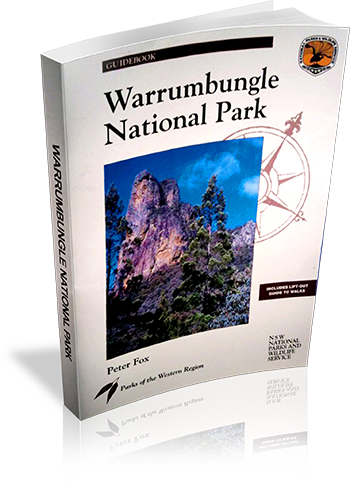
Author: Peter Fox
Edition: 1
Publisher: The Beaten Track Press
ISBN: 1876131004
Number of pages: 80
Year of Publication: 1996
Cover Price (au$): 11.00
Format: Paperback
Website: http://www.beatentrack.com.au/btgroup/btg_frame.cfm?topic=catalogue&product=catalogue
Weight (grams): 225
Regions the book covers: Warrumbungle National Park
Height (cm): 25
Subjects:
National parks and reserves - New South Wales,Warrumbungle National Park (N.S.W.), Physical geography - New South Wales - Warrumbungle Range
Interpretive Information: Detailed
Grade system explained: No
Date walks last reviewed provided: No
A summary of walks provided: Yes
Regional Map of walks provided: Yes
Maps designed for walking: Yes - limited detail
Type of maps used (for walking): Simple Topographic
Colour used in walking maps: Multicolour
Size of walking maps: Full page
Walking map Comment: Lift out walking information including maps an extra 28 page booklet. Maps are aerial photographs with tracks and other features marked.
Colour depth of photos: Colour
Level of detail in tracknotes: Detailed route information
Walks in the Blue Mountains National Park
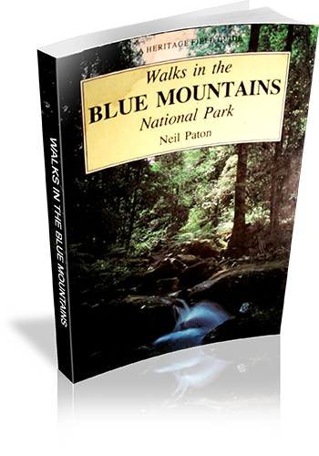
Author: Neil Paton
Edition: 1
Publisher: Kangaroo Press
ISBN: 0864171293
Number of pages: 128
Year of Publication: 1987
Cover Price (au$): 10.95
Format: Paperback
Weight (grams): 145
Regions the book covers: Blue Mountains
Height (cm): 19
Subjects:
Nature trails - New South Wales - Blue Mountains National Park - Guidebooks,Hiking - New South Wales - Blue Mountains National Park - Guidebooks,Blue Mountains National Park (N.S.W.) - Guidebooks
Niche: Blue Mountains
Interpretive Information: Minimal
Grade system explained: No
Ascent and/or Decent provided: No
Driving directions provided: No
Date walks last reviewed provided: No
A summary of walks provided: No
Regional Map of walks provided: Yes
Maps designed for walking: Yes - limited detail
Type of maps used (for walking): Sketch
Colour used in walking maps: Black and White
Size of walking maps: 3/4 page
Walking map Comment: Most maps are shared by at least a few walks
Colour depth of photos: Black and White
Comment on Photographs: One photograph every three pages (on average)
Level of detail in tracknotes: Detailed route information
Alternate route and side trip suggestions: Many walks
Take A Walk in Kosciuszko National Park
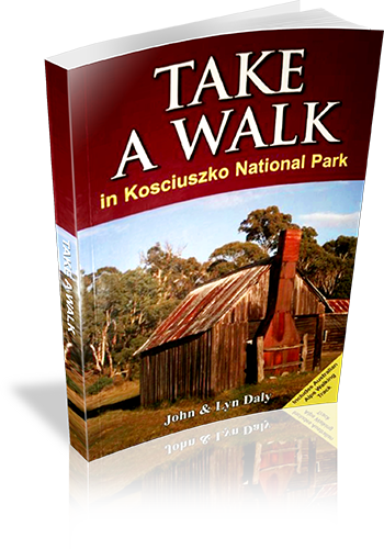
Author: John Daly,Lyn Daly
Edition: 1
Publisher: Take a Walk Publications
ISBN: 9780957793187
Number of pages: 255
Year of Publication: 2010
Cover Price (au$): 34.95
Format: Paperback
Website: http://www.takeawalk.com.au/
Weight (grams): 340
Regions the book covers: kosciuszko national park
Height (cm): 21
Subjects:
Hiking - New South Wales - Kosciuszko National Park - Guidebooks. | National parks and reserves - New South Wales - Kosciuszko National Park - Guidebooks. | Kosciuszko National Park (N.S.W.) - Guidebooks.
Niche: kosciuszko
Grade system explained: Yes
Ascent and/or Decent provided: No
Driving directions provided: Yes
Date walks last reviewed provided: No
A summary of walks provided: Yes
Regional Map of walks provided: Yes
Maps designed for walking: Yes - reasonable detail
Type of maps used (for walking): Sketch
Colour used in walking maps: Multicolour
Size of walking maps: 1/4 page
Walking map Comment: varey in sizes
Colour depth of photos: Colour
Comment on Photographs: small to medium colour photo's every second page
Level of detail in tracknotes: General route description
Alternate route and side trip suggestions: Some walks
Take a walk in a national park – Sydney to Port Macquarie
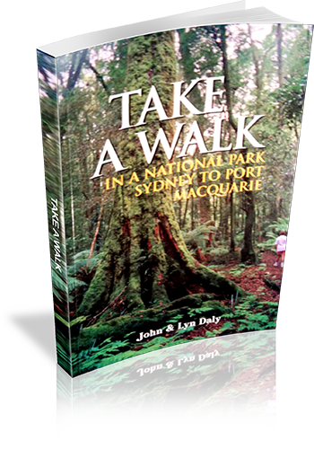
Author: John Daly, Lyn Daly
Edition: 1
Publisher: Take A Walk Publications
ISBN: 0957793111
Number of pages: 224
Year of Publication: 2000
Cover Price (au$): 21.95
Format: Paperback
Website: http://www.takeawalk.com.au/
Weight (grams): 390
Regions the book covers: Between Sydney City and Port Macquarie NSW (mostly near the coast)
Height (cm): 21
Subjects:
Hiking - New South Wales - Guidebooks,National parks and reserves - New South Wales - Guidebooks
Interpretive Information: Plenty
Grade system explained: No
Ascent and/or Decent provided: No
Driving directions provided: Yes
Date walks last reviewed provided: No
A summary of walks provided: Yes
Regional Map of walks provided: Yes
Maps designed for walking: No - no maps intended for use when walking
Colour depth of photos: Colour
Comment on Photographs: Colour plat of 16 photo's provided at the centre of the book. No other photos provided
Level of detail in tracknotes: Detailed route information
Alternate route and side trip suggestions: Some walks
Sydney bushwalks
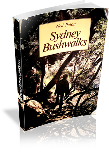
Author: Neil Paton
Edition: 1
Publisher: Kangaroo Press
ISBN: 0864171072
Number of pages: 192
Year of Publication: 1986
Cover Price (au$): 21.95
Format: Paperback
Weight (grams): 180
Regions the book covers: Sydney
Height (cm): 19
Subjects:
Hiking - New South Wales - Sydney,Trails - New South Wales - Sydney
Niche: Bushwalks in Sydney
Interpretive Information: Minimal
Grade system explained: No
Ascent and/or Decent provided: No
Driving directions provided: No
Date walks last reviewed provided: No
A summary of walks provided: No
Regional Map of walks provided: No
Maps designed for walking: Yes - limited detail
Type of maps used (for walking): Sketch
Colour used in walking maps: Black and White
Size of walking maps: Full page
Colour depth of photos: Black and White
Comment on Photographs: Photographs, on average, every four to six pages
Level of detail in tracknotes: Detailed route information
Alternate route and side trip suggestions: Many walks
Snowy Mountains Walks
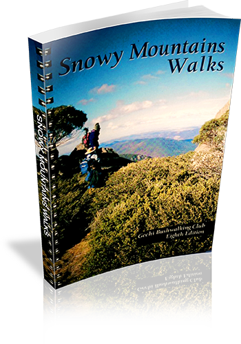
Author: Geehi Club
Edition: 1
Publisher: Geehi Club
ISBN: 0959965114
Number of pages: 148
Year of Publication: 1978
Cover Price (au$): 29.95
Format: Paperback
Weight (grams): 340
Regions the book covers: Snowy Mountains
Height (cm): 21
Subjects:
Hiking - New South Wales - Snowy Mountains - Guidebooks,Snowy Mountains Region (N.S.W.) - Description and travel
Niche: Bushwalks in the Snowy Mountains
Interpretive Information: Detailed
Grade system explained: No
Ascent and/or Decent provided: Yes
Driving directions provided: No
Date walks last reviewed provided: No
A summary of walks provided: No
Regional Map of walks provided: Yes
Maps designed for walking: Yes - reasonable detail
Type of maps used (for walking): Detailed Topographic
Colour used in walking maps: Multicolour
Size of walking maps: Full page
Walking map Comment: Detailed topographic maps, unique for most walks.
Colour depth of photos: Colour
Comment on Photographs: Photographs every few pages.
Level of detail in tracknotes: Detailed route information
Alternate route and side trip suggestions: Many walks
Discovering the Colo Wilderness on foot
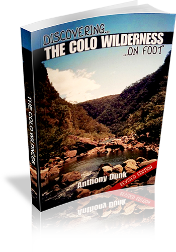
Author: Anthony Dunk
Edition: 2
Publisher: Envirobook
ISBN: 9780858812277
Number of pages: 79
Year of Publication: 2009
Cover Price (au$): 13.95
Format: Paperback
Website: http://adunk.ozehosting.com/booktoc.html
Weight (grams): 85
Regions the book covers: Colo River
Height (cm): 18
Subjects:
Hiking -- New South Wales -- Colo Wilderness -- Guidebooks,Colo Wilderness (N.S.W.) -- Guidebooks
Authors Comments:
This book describes 20 bushwalks in Wollemi National Park, which is located north-west of
Sydney. A central feature of the park is the Colo River which flows through more than 40 kms
of rugged wilderness surrounded by huge sandstone cliffs. A number of the walks in the
book describe the easier passes into the gorge, while others cover walks in the surrounding
areas such as Putty, Mt Wilson, Newnes, and Rylstone.
Some history and background of the area is provided as well as suggestions for extended
walks, and details of equipment and techniques for bushwalking in the area.
Niche: Walking in Colo region
Interpretive Information: Plenty
Grade system explained: No
Ascent and/or Decent provided: No
Driving directions provided: Yes
Date walks last reviewed provided: No
A summary of walks provided: No
Regional Map of walks provided: Yes
Maps designed for walking: Yes - limited detail
Type of maps used (for walking): Sketch
Colour used in walking maps: Black and White
Size of walking maps: Full page
Walking map Comment: Some maps are shared by a number of walks.
Colour depth of photos: Black and White
Comment on Photographs: There is an average of one photograph every four pages.
Level of detail in tracknotes: Detailed route information
Alternate route and side trip suggestions: Some walks
Discovering Royal National Park on Foot
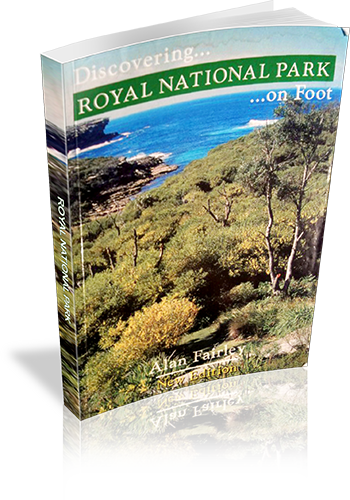
Author: Alan Fairley
Edition: 2
Publisher: Envirobook
ISBN: 0858811804
Number of pages: 80
Year of Publication: 2004
Cover Price (au$): 12.95
Format: Paperback
Website: http://www.envirobook.com.au/Publishing/publishing.htm
Weight (grams): 85
Regions the book covers: Royal National Park
Height (cm): 18
Subjects:
Hiking - New South Wales - Royal National Park - Guidebooks, Walking - New South Wales - Royal National Park - Guidebooks, Royal National Park (N.S.W.) - Guidebooks
Niche: Royal National Park day walks (mention of overnight walks)
Interpretive Information: Plenty
Grade system explained: No
Ascent and/or Decent provided: No
Driving directions provided: No
Date walks last reviewed provided: No
A summary of walks provided: No
Regional Map of walks provided: Yes
Maps designed for walking: Yes - limited detail
Type of maps used (for walking): Sketch
Colour used in walking maps: Black and White
Size of walking maps: 1/4 page
Walking map Comment: 8 of the 32 walks described in detail have maps in the book
Colour depth of photos: Black and White
Comment on Photographs: A scenic photo is found on about every 4th page (a few wildlife shots as well)
Level of detail in tracknotes: Detailed route information
Alternate route and side trip suggestions: Some walks
Discovering New South Wales Rainforests : A Touring Walking And Cycling Guide
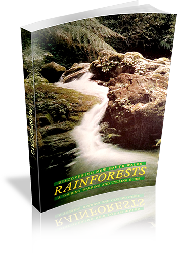
Author: Ed: Jeff Angel, Ed: Angela Raymond, Ed: Rod Ritchie
Edition: 1
Publisher: Total Environment Centre and Rainforest Publishing
ISBN: 0959050701
Number of pages: 158
Year of Publication: 1985
Format: Paperback
Weight (grams): 250
Regions the book covers: New South Wales
Height (cm): 21
Subjects:
Rain forests - New South Wales - Guidebooks,National parks and reserves - New South Wales - Guidebooks,New South Wales - Guidebooks
Interpretive Information: Detailed
Grade system explained: No
Ascent and/or Decent provided: No
Driving directions provided: Yes
Date walks last reviewed provided: No
A summary of walks provided: No
Regional Map of walks provided: No
Maps designed for walking: No - no maps intended for use when walking
Walking map Comment: Maps of each region provided, but additional maps required for walking.
Colour depth of photos: Black and White
Comment on Photographs: There are a few regional photographs throughout the book, and quite a few pistographs of animals and plants.
Level of detail in tracknotes: Overview only
Discovering Gosford’s bushland on foot
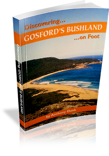
Author: Anthony Dunk
Edition: 1
Publisher: Envirobook
ISBN: 0858812029
Number of pages: 80
Year of Publication: 2004
Cover Price (au$): 13.95
Format: Paperback
Website: http://adunk.ozehosting.com/publications.html
Weight (grams): 90
Regions the book covers: Gosford - Bouddi & Brisbane Water NP's and Gosford Council Reserves
Height (cm): 18
Subjects:
Hiking - New South Wales - Gosford Region - Guidebooks,Gosford Region (N.S.W.) - Guidebooks
Authors Comments:
With secluded beaches, waterfalls, wildflowers, Aboriginal rock art and panoramic views
Gosford's bushland has something to appeal to everyone.
In this book you will find fascinating information about the area and descriptions of
walks ranging from easy strolls to solid all day treks.
Interpretive Information: Some
Grade system explained: No
Ascent and/or Decent provided: No
Driving directions provided: Yes
Date walks last reviewed provided: No
A summary of walks provided: Yes
Regional Map of walks provided: No
Maps designed for walking: Yes - limited detail
Type of maps used (for walking): Sketch
Colour used in walking maps: Black and White
Size of walking maps: Full page
Colour depth of photos: Black and White
Comment on Photographs: Two colour photos on the cover and 16 B&W images in the book
Level of detail in tracknotes: Detailed route information
Alternate route and side trip suggestions: Some walks