All shot with the Panasonic GH2 and Voigtlander Nokton 25mm.
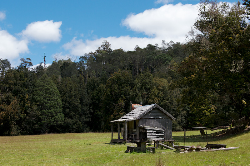
The second LP hut - is this the Wadley Memorial or is that the first one? I forget...
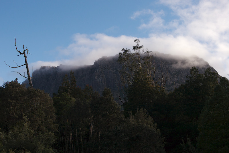
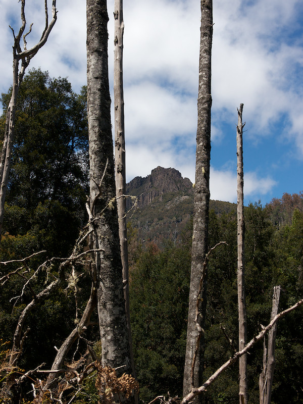
Cathedral from Du Cane Hut.
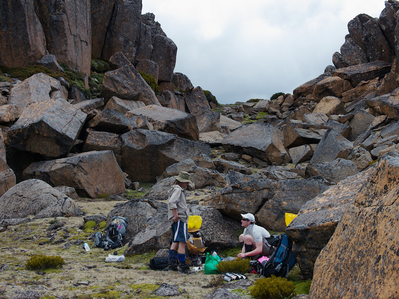
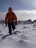
Having lunch on Falling Mt after climbing up from Du Cane Gap. We foolishly laughed when Chapman said it'd take four hours...
The ridge line toward Mt Massif - it would take us about 5 hours...
Cathedral, Pillanger and LP.

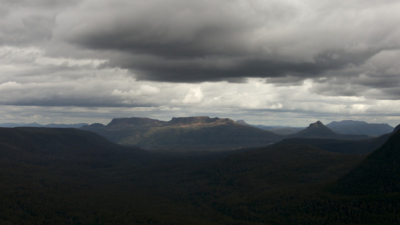
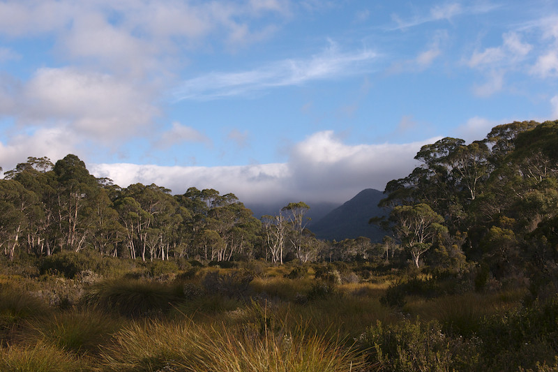
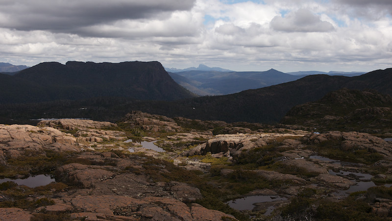
Looking down the valley to Mt Olympus.
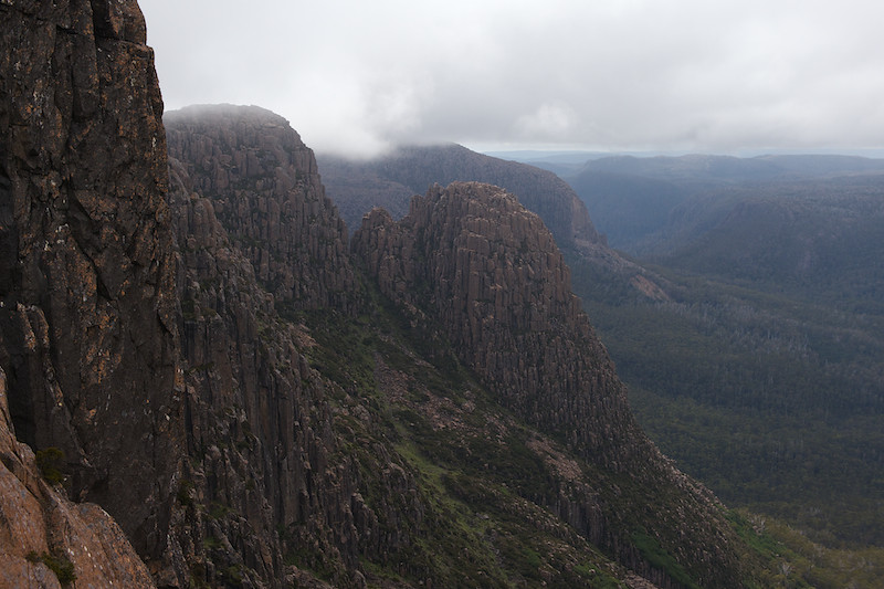
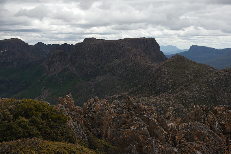
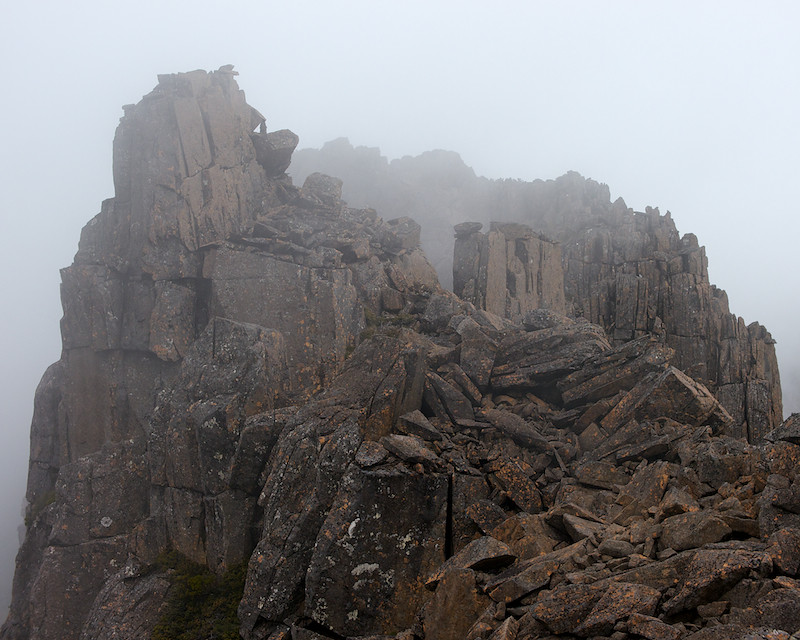
South face of Mt Massif.
Hyperion? from Big Gun.
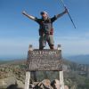
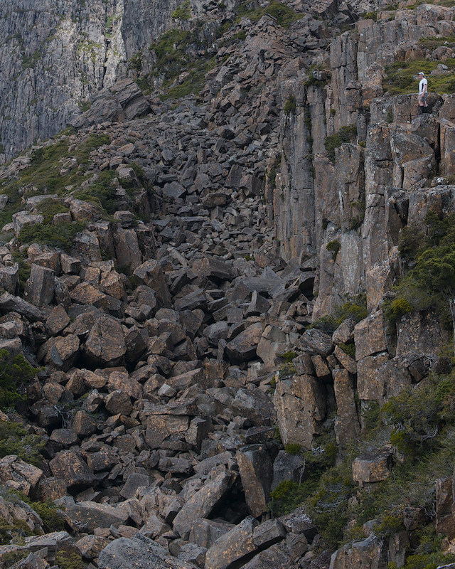
Chapman says go over the top...
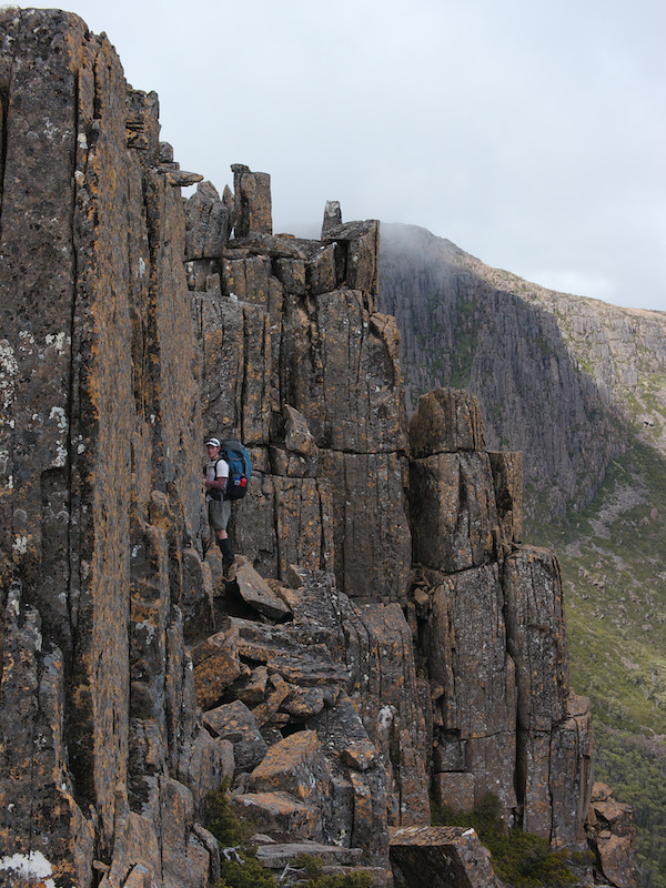
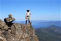
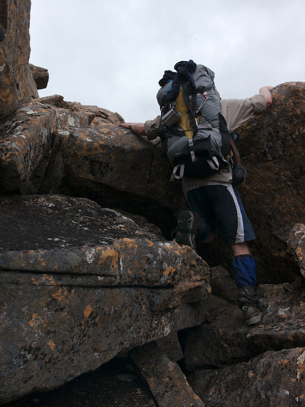
Hugging the face just before Big Gun Pass.
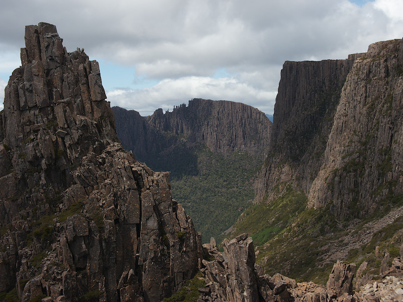
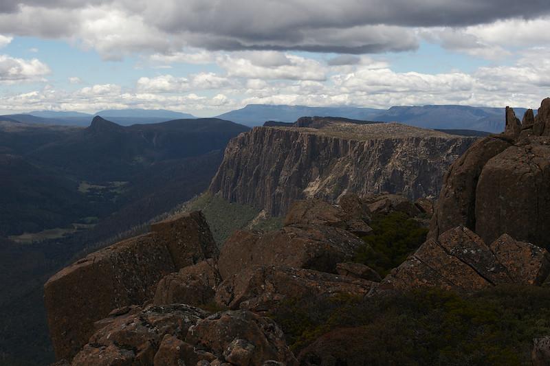
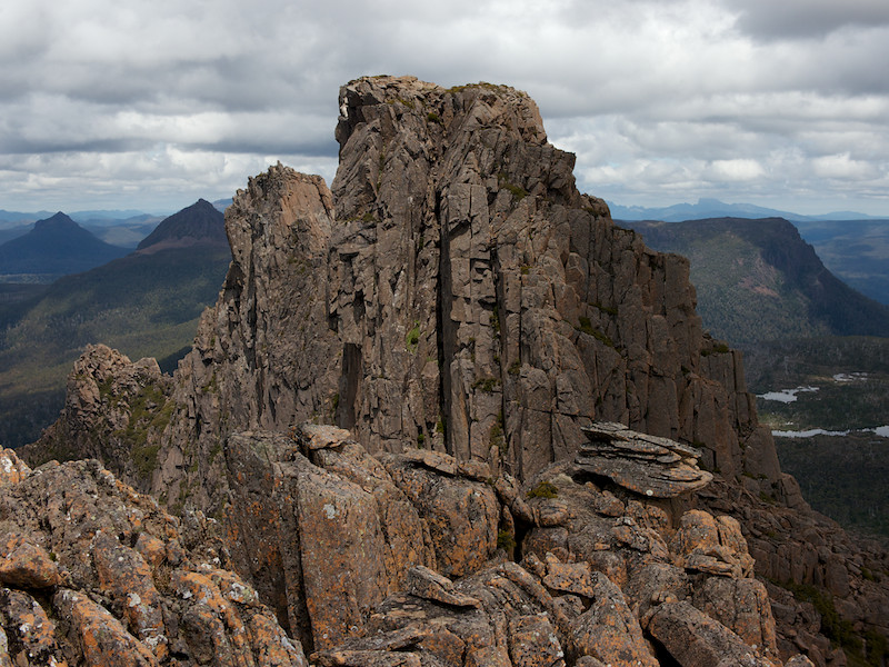
The Big Gun, Mt Geryon and the Acropolis.
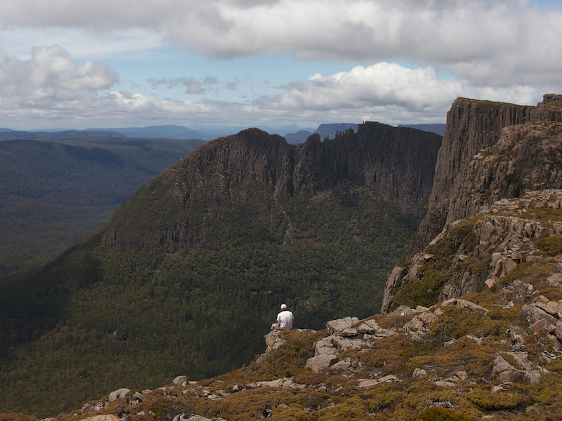
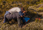
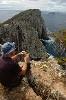
Will found a nice spot for lunch
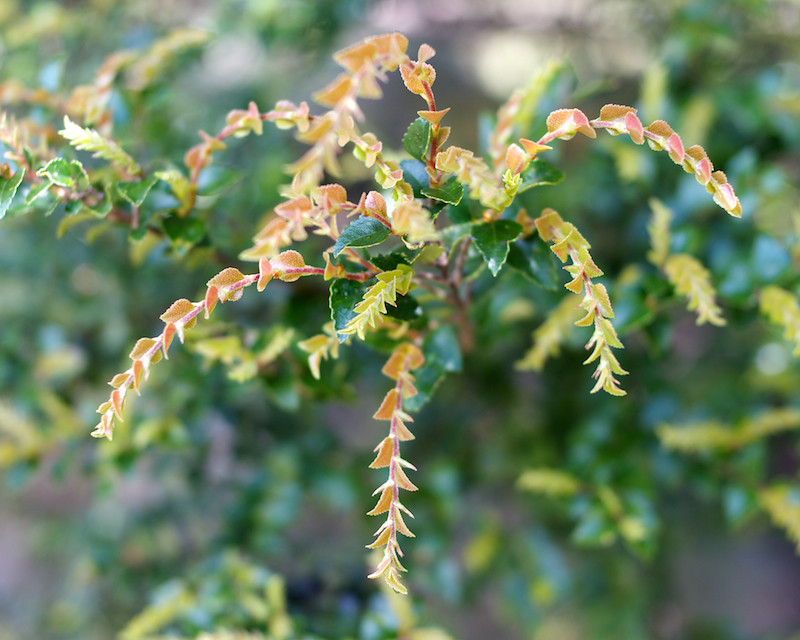
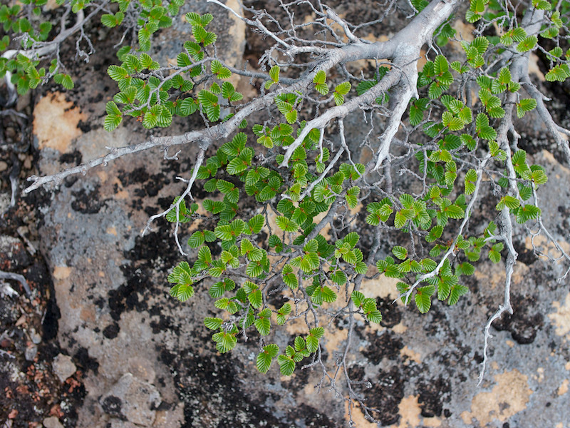
Fagus
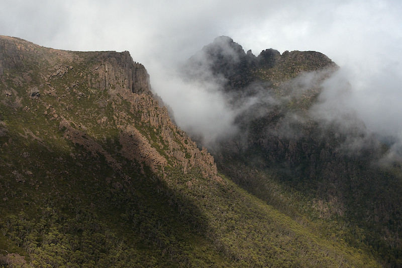
The Labyrinth with Frenchmans in the distance.
Geryon - next time...
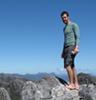
Heading down into Pine Valley.