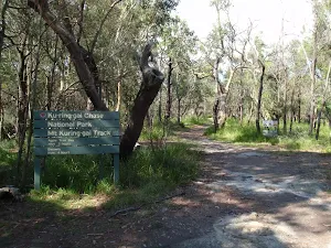
Starting at the Sphinx War Memorial in North Turramurra, this walk follows a series of well-used tracks exploring the waterways and Bobbin Head. The walk drops through Bobbin Head picnic area before passing through Apple Tree Bay on its way to Mt Kuring-gai. The scenic views and variety of things to do along this track make it a fantastic walk. There are a couple of Cafe's at Bobbin Head to add to this journey. Let us begin by acknowledging the Darug people, Traditional Custodians of the land on which we travel today, and pay our respects to their Elders past and present.
Before you start any bushwalk ensure you;
• Tell someone you trust where you are going and what to do if you are overdue
• Have adequate equipment, supplies, skills & knowledge for the whole journey
• Consider the impact of weather forecasts, park/track closures & fire dangers
• Can respond to emergencies & call for help at any point
• Are healthy and fit enough for this journey
If not, change plans and stay safe. It is okay to delay and ask people for help.
BusCar (There is free parking available.) Special (Mt Ku-ring-gai Train Station is located on the Newcastle Line running between Hornsby and Wyong. Trains run approximately every hour. More info) Train
Directions
From Pennant Hills Road, A28
Turn on to Coonanbarra Road then drive for 155 m
Turn right onto Railway Avenue and drive for another 110 m
At roundabout, take exit 1 onto Redleaf Avenue and drive for another 70 m
Turn sharp right onto Millewa Avenue and drive for another 650 m
At roundabout, take exit 2 onto Bangalla Street and drive for another 790 m
Turn left onto Eastern Road and drive for another 85 m
Turn right onto The Chase Road and drive for another 1.1 km
Turn right onto Burns Road and drive for another 215 m
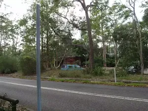
Turn left onto Bobbin Head Road and drive for another 2.7 km
At roundabout, take exit 3 onto Bobbin Head Road and drive for another 1.2 km
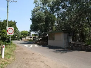
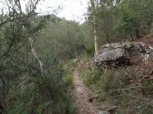
Getting started From the toll booth, this walk follows the 'Sphinx War Memorial' sign through the metal gates and along the road. The walk continues down the long gentle hill until coming to an intersection with an asphalt path, at the information sign on the left of the road.....
Turn map
Directions & comments
At the intersection of Memorial Road & Bobbin Head Road Start heading along Memorial Road (a service road).
After 115 m pass the water tap (7 m on your left).
Then head through/around the gate.
sunrise-sunset
After another 45 m (from the Memorial Road) continue straight, to head along Memorial Road.
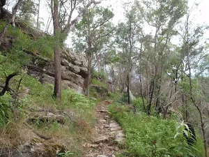
After another 200 m (at the intersection of Memorial Road & Sphinx Track) veer left, to head along Sphinx Track (a walking track).
After another 20 m head through/around the gate.
After another 6 m pass the "Sphinx Track / Warrimoo Track" (on your right).
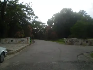
After another 35 m pass the car park (25 m on your right).
After another 1 m (from the Sphinx Track) continue straight.
After another 25 m pass a seat (10 m on your right)., has a backrest.
Then head through the bollard.
After another 15 m turn around.
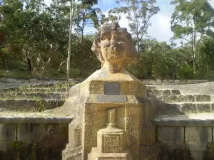
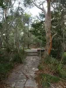
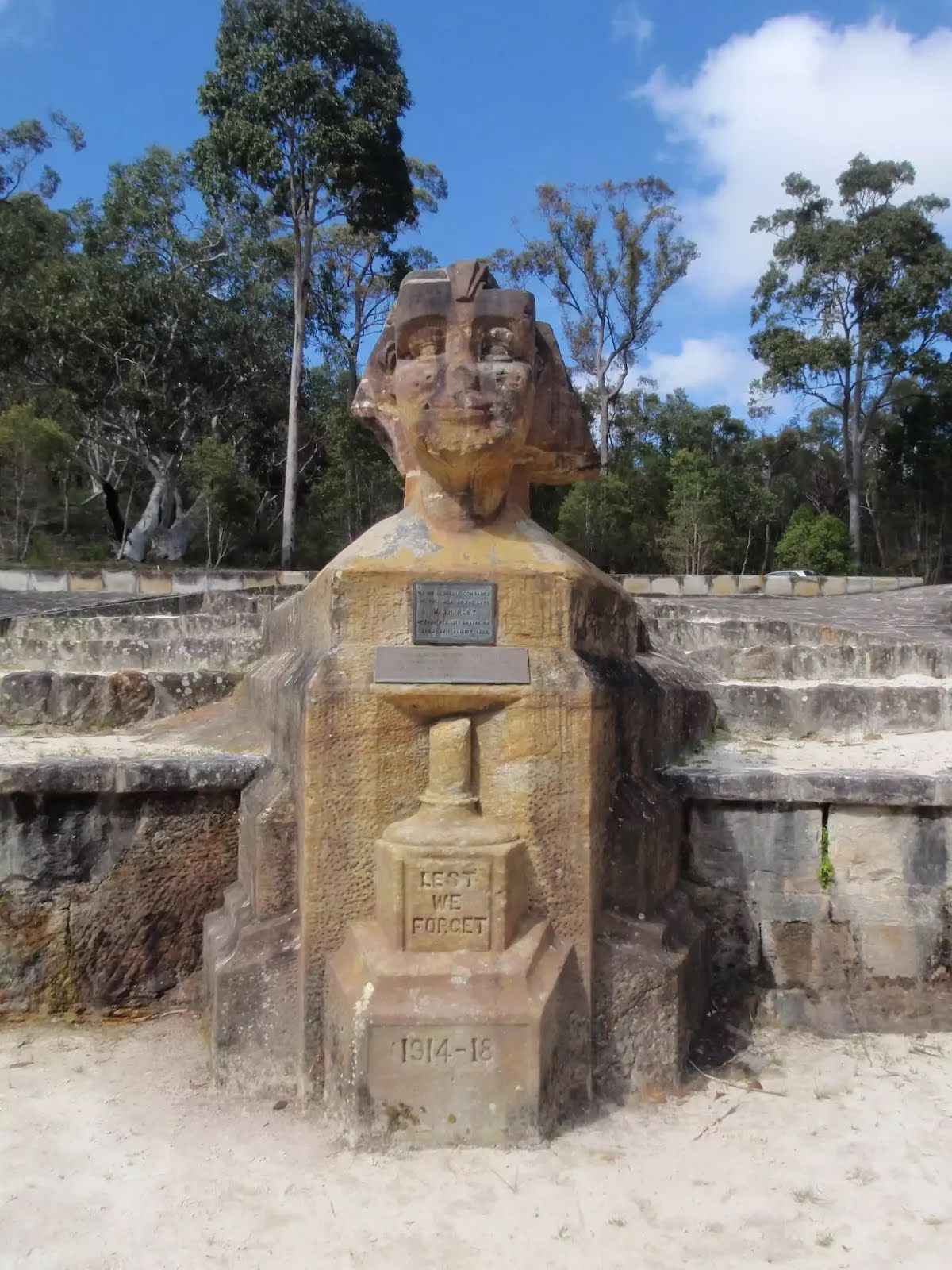
After another 15 m find the "Sphinx Memorial" (on your right).
Private Shirley spent one and a half years carving this monument whilst a patient of the Lady Davidson Convalescent Hospital. William Shirley was in hospital, being treated after serving in WW1. Shirley died in 1929, leaving this memorial to fallen A.I.F. comrades.
"To my glorious comrades of the A.I.F
by the late W. Shirley
No 5756 Pte. 13th Battalion
Died 27th August 1928"
After another 1 m continue straight.
After another 10 m (from the Sphinx Track) turn sharp right, to head along Sphinx Track.
After another 20 m head through the bollard.
After another 9 m pass the water tap (on your right).
After another 35 m (at the intersection of Sphinx Trail & Sphinx Track) turn left, to head along Sphinx Trail (a vehicle track).
After another 215 m (from the Sphinx Trail) continue straight, to head along Sphinx Trail.
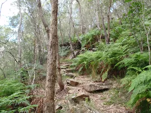
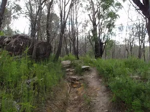
After another 160 m (at the intersection of Bobbin Head Trail & Sphinx Trail) continue straight, to head along Bobbin Head Trail.
After another 550 m (at the intersection of Jacombs Trail & Bobbin Head Trail) continue straight, to head along Bobbin Head Trail.
After another 335 m (from the Bobbin Head Trail) continue straight.
After another 400 m (from the Bobbin Head Trail) turn right, to head along Bobbin Head Trail.
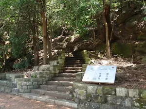
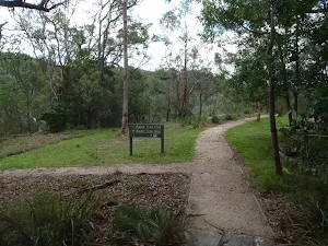
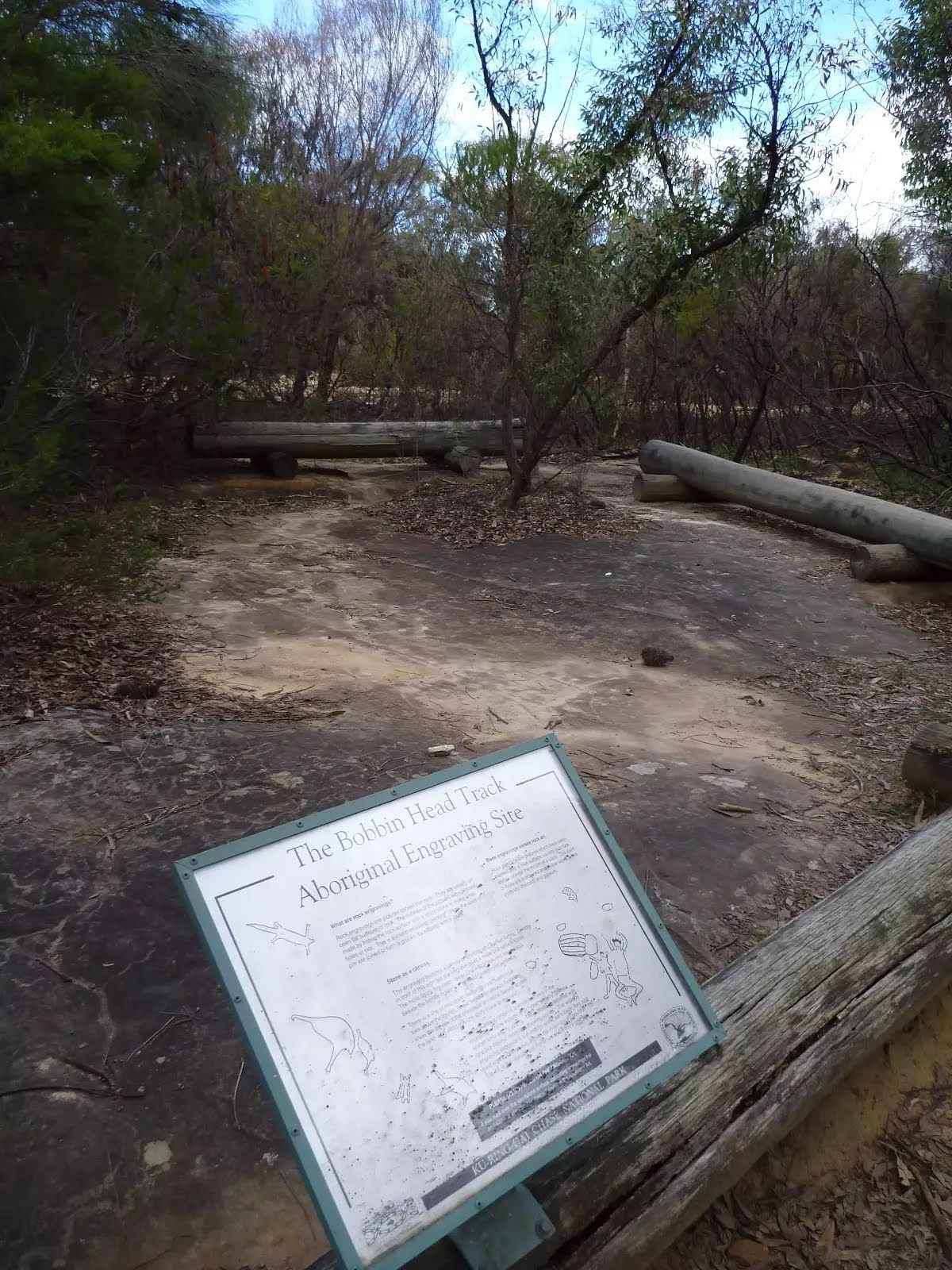
After another 160 m find the "Bobbin Head Track Aboriginal Engraving Site" (15 m on your left).
The Bobbin Head Track Aboriginal Engraving Site, is signposted off the side of the old Bobbin Head Road and is home to a series of engravings on a sandstone rock platform. The engravings are behind a series timber log barriers designed to reduce further wear on these faint engravings, please stay off the engravings area. If you look carefully you may see the engravings of a wallaby, gliding possum, bird, goanna the Information board also shows there are two emus.
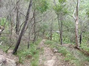
After another 1.4 km (from the Bobbin Head Trail) veer left (a walking track).
After another 50 m (from the Bobbin Head Trail) turn left.
After another 55 m (from the Bobbin Head Trail) continue straight.
After another 160 m (from the Bobbin Head Trail) veer left (a walking track).
After another 45 m (from the Bobbin Head Trail) turn left, to head along Bobbin Head Trail (a vehicle track).
After another 55 m (from the Bobbin Head Trail) turn right (a walking track).
After another 20 m (from the Bobbin Head Trail) turn right, to head along Bobbin Head Trail (a vehicle track).
After another 180 m (from the Bobbin Head Trail) veer right (a walking track).
After another 210 m (from the Warrimoo Track) turn left, to head along Warrimoo Track.
After another 150 m (from the Warrimoo Track) continue straight, to head along Warrimoo Track.
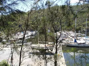
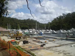
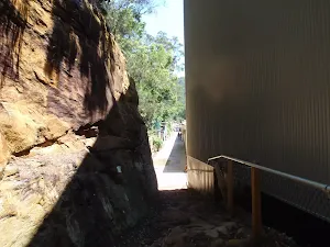
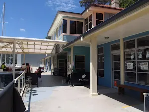
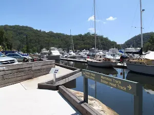
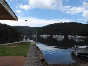
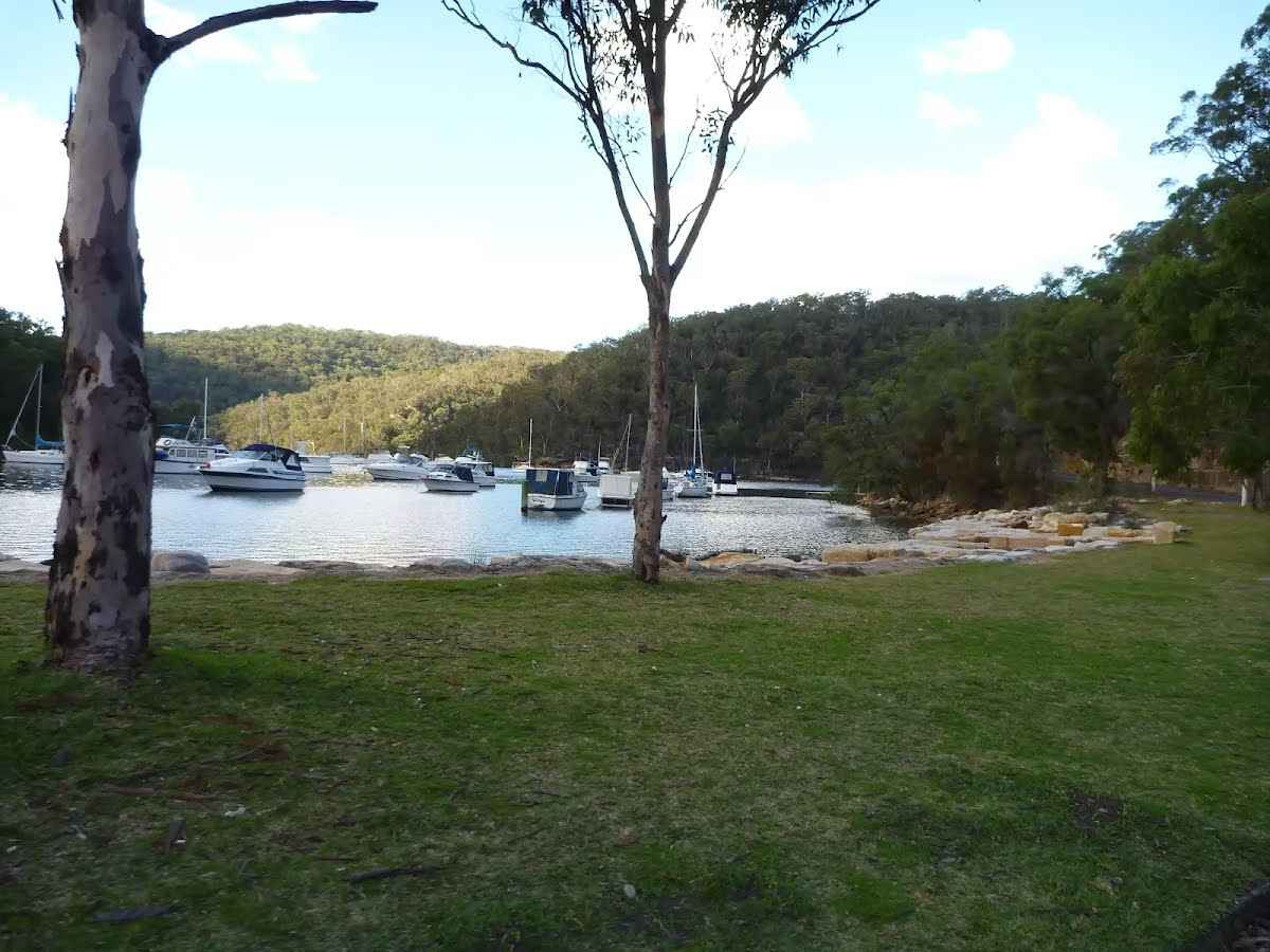
After another 40 m find the "Empire Marina - Galley Foods cafe" (20 m on your right).
Empire Marina, in Ku-Ring-Gai Chase National Park, provides facilities and services for people on boats and on foot. The marina is home to "Galley Foods" kiosk and restaurant. The kiosk provides a variety of food priced between $4-$16, and is open from 8:30am to 5pm seven days. The restaurant requires reservations, and is open for lunch Thurs-Mon, breakfast on the weekend, and in dinner on Fridays and Saturdays in summer. Phone 9457 0477
Then pass the toilet (10 m on your right).
After another 20 m veer left.
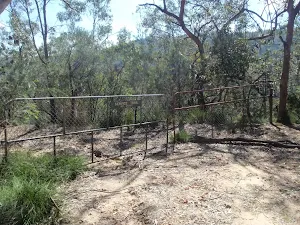
After another 195 m head through/around the gate.
Mo-Su 08:00-17:00
Turn left.
After another 15 m continue straight.
After another 15 m pass the park (5 m on your right).
After another 35 m veer left.
After another 15 m pass the pay phone (10 m on your left).
After another 5 m (from the Bobbin Head Road) turn right, to head along Bobbin Head Road (a road).
After another 10 m pass the shelter (15 m on your left).
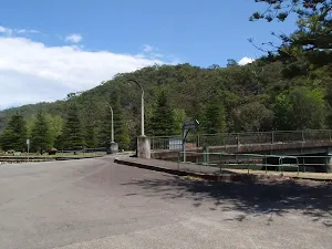
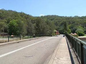
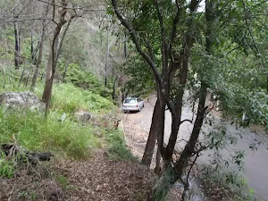
Then cross the Bobbin Head Bridge (about 60 m long)
After another 5 m (from the Ku-Ring-Gai Chase Road) continue straight, to head along Ku-Ring-Gai Chase Road.
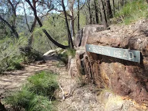
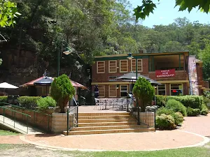
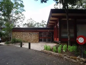
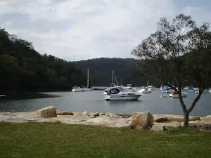
After another 90 m find the "Bobbin Head" (25 m on your left).
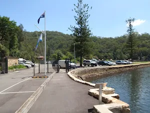
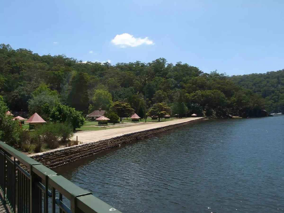
Bobbin Head is a historic recreation area which is still popular today, suiting the needs of many people. At the center of the Bobbin Head area is the old 'Bobbin Inn', built in the 1930s - it is now the park information center and cafe. The area is popular with picnickers, boaters, walkers, canoeists, family groups and people who like to fish. Bobbin Head is roughly divided into three sections (north, south and east).
Southern Bobbin Head is a popular picnic area for families and large groups. The area is surrounded by a car park and dotted with picnic tables, electric BBQs, shelters and a large playground. There are toilets nearby, and 'The Station' is a sheltered accessible area with BBQ and tables that can be booked NPWS.
The northern Bobbin Head (Orchard Park) area is a more formal picnic area. There is a large picnic shelter, surrounded by 14 smaller octagonal shelters, each of these divided into 4 walled-off compartments, ideal for small groups.
The eastern side of Bobbin Head is dominated by the Empire Marina and a public wharf. The marina is home to a nice restaurant and public toilets.
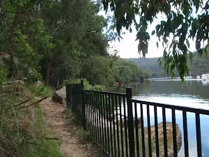
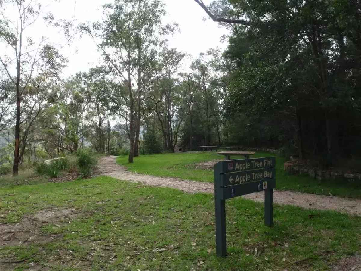
After another 15 m (at the intersection of Apple Tree Bay Road & Ku-Ring-Gai Chase Road) turn left, to head along Birrawanna Track (a walking track).
After another 10 m pass the "Bobbin Head Inn" (15 m on your left).
Then pass the "National Parks Information Centre" (10 m on your left).
Mo-Su 10:00-16:00
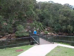
After another 115 m cross the bridge (about 3 m long)
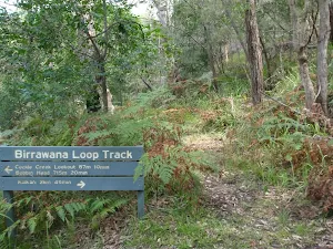
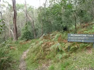
After another 15 m pass the "Birrawana Loop Track" (6 m on your right).
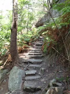
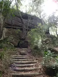
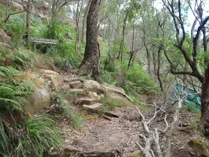
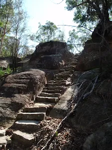
Then head up the 30 steps (about 10 m long)
After another 10 m head up the 28 steps (about 7 m long)
After another 20 m head up the 60 steps (about 30 m long)
Then pass the toilet (60 m on your right).
After another 20 m head up the 12 steps (about 10 m long)
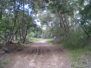
After another 60 m cross the ford.
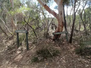
The starting point of an optional sidetrip. An optional side trip to Cockle Creek Lookout. To start this optional side trip turn right here. On returning from this side trip turn right when you get back to this intersection. Details below.
After another 165 m (from the Birrawanna Track) veer left, to head along Birrawanna Track.
After another 370 m cross the ford.
After another 25 m continue straight.
After another 10 m veer right.
After another 10 m continue straight.
The starting point of an optional sidetrip. An optional side trip to Apple Tree Flat Lookout. To start this optional side trip turn right here. On returning from this side trip turn right when you get back to this intersection. Details below.
After another 15 m (from the Ku-Ring-Gai Chase Road) continue straight (a walking track).
After another 195 m (from the Apple Tree Bay Road) turn left, to head along Apple Tree Bay Road (a vehicle track).
After another 150 m (from the Apple Tree Bay Road) turn right (a service road).
After another 7 m to find the car park.
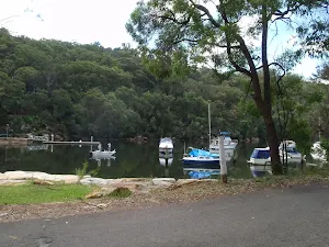
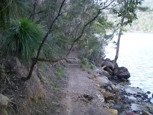
After another 30 m find the "Apple Tree Bay" (20 m on your left).
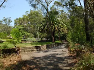
Apple Tree Bay, in Ku-Ring-Gai Chase national park, has a popular boat ramp for accessing Cowan creek and plenty of parking. The area has kiosk, electric BBQ's, picnic benches, toilets, drinking water, garbage facilities, and shade provided by trees. If you are after a quiet spot, head to the western end (away from the boat ramp, past the BBQ's), just beyond the car park, to a lovely clearing by the water. The area is closed between sunset and sunrise.
The kiosk/cafe is open on weekend and services hot and cold drinks, ice creams and some hot food.
After another 10 m pass the cafe (20 m on your left).
Sa-Su PH
After another 3 m turn right.
After another 7 m pass the park (7 m on your left).
After another 10 m pass the toilet (40 m on your left).
After another 10 m turn right.
After another 35 m (from the Berowra Track) turn left, to head along Berowra Track (a walking track).
After another 25 m cross the bridge (about 35 m long)
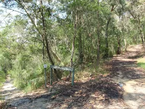
After another 65 m pass the sign.
After another 345 m (from the Berowra Track) continue straight.
After another 45 m (from the Berowra Track) continue straight, to head along Berowra Track.
After another 345 m (at the intersection of Berowra Track & Mount Kuring-Gai Track) turn sharp left, to head along Mount Kuring-Gai Track.
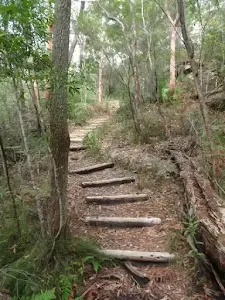
After another 10 m head up the 19 steps (about 20 m long)
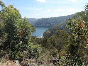
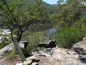
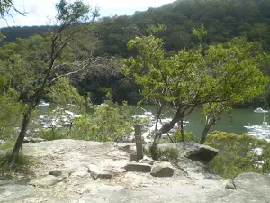
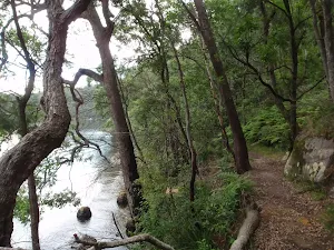
After another 290 m come to the viewpoint.
After another 1.3 km head up the 30 rock steps (about 10 m long)
After another 95 m come to the viewpoint (20 m on your right).
From the Mount Kuring-Gai Track continue straight, to head along Mount Kuring-Gai Track.
The starting point of an optional sidetrip. An optional side trip to Apple Tree Bay Viewpoint. To start this optional side trip turn left here. On returning from this side trip veer left when you get back to this intersection. Details below.
After another 260 m (from the Mount Kuring-Gai Track) continue straight, to head along Mount Kuring-Gai Track.
After another 640 m head through/around the gate.
After another 30 m pass the "Mount Ku-ring-gai Track" (5 m on your right).
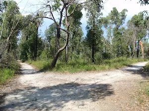
After another 20 m (at the intersection of Young Street & Mount Kuring-Gai Track) continue straight, to head along Harwood Avenue (a residential road).
After another 105 m (at the intersection of Seaview Street & Harwood Avenue) continue straight, to head along Harwood Avenue.
After another 85 m (at the intersection of Harwood Avenue & Low Street) continue straight, to head along Harwood Avenue.
After another 60 m (from the Harwood Avenue) continue straight (a walking track).
After another 25 m cross the bridge (about 50 m long)
After another 15 m come to the end.
About 100 m past the end is a toilet.
An optional side trip to Cockle Creek Lookout.
Turn map
Directions & comments
From the Birrawanna Track Start (a walking track).
Continue another 115 m to find Cockle Creek Lookout at the end.
"Cockle Creek Lookout".
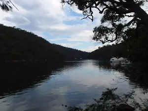
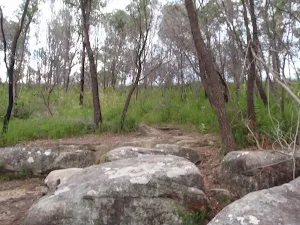
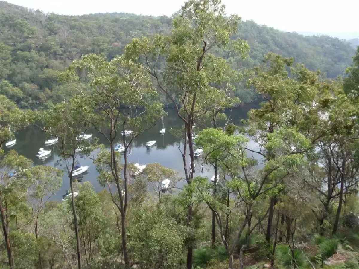
Cockle Creek Lookout is an informal lookout with no facilities, on the Birrawanna track in Ku-Ring-Gai Chase National Park. The lookout provides Glimpses of Cockle and Cowan Creeks. The area is surrounded by some beautiful gum trees and rock boulders, making it a nice place to sit and reflect on the surroundings.
Turn around and retrace your steps back the 115 m to the main route.
An optional side trip to Apple Tree Flat Lookout.
Turn map
Directions & comments
From the Ku-Ring-Gai Chase Road Start heading along Ku-Ring-Gai Chase Road (a road).
After another 15 m (from the Ku-Ring-Gai Chase Road) veer left (a walking track).
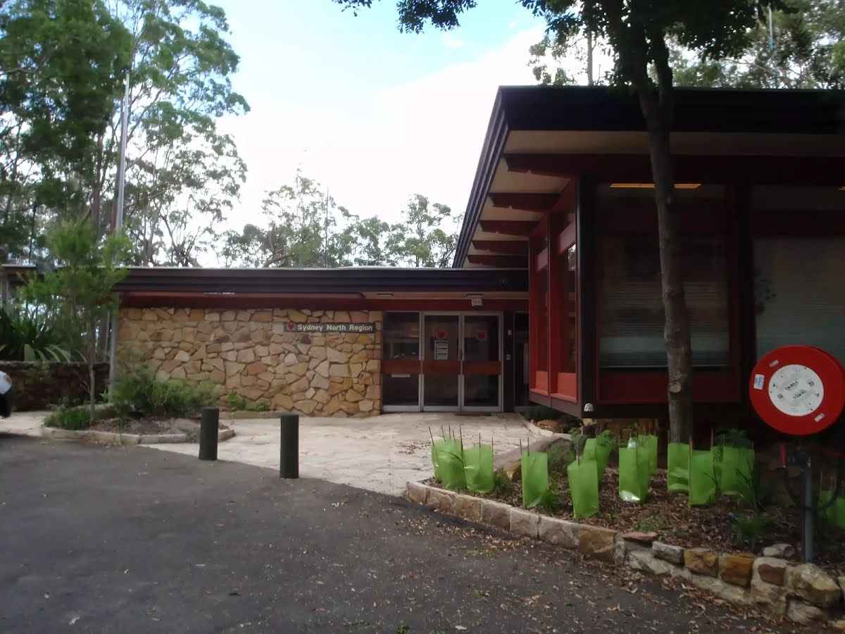
After another 50 m find the "NPWS North Sydney Regional Office" (20 m on your right).
The NPWS North Sydney Regional Office is a lovely stone building on Bobbin Head Road at one of the trackheads for Birrawanna loop track. There is a car park and an open grassy area. On the opposite side of the road is the Apple Tree Flat Picnic Area with a few picnic tables. Other than this, there are no public facilities.
After another 45 m come to "Apple Tree Flat Picnic Area".
Apple Tree Flat Picnic Area is opposite the NPWS North Sydney Regional office on Bobbin Head Rd, in Ku-Ring-Gai Chase national park. The small picnic area should not be confused with the more popular Apple Tree Bay Picnic Area and boat ramp further down the hill. The picnic area provides three bench platforms for sitting and dining. There is also a small, open grassy area and some large trees providing shade.
The end.
"Apple Tree Flat Lookout".
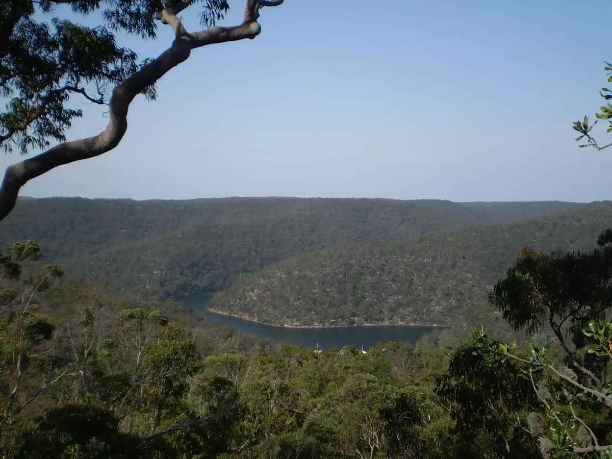
Apple Tree Flat Lookout is a small fenced lookout high up the hill overlooking Apple Tree Bay and Cowan creek. The view is filtered through the tall gum trees. Being perched on a rock platform, the views are great. The lookout is not far from Bobbin Head Rd, near the NPWS North Sydney Regional Office, in Ku-Ring-Gai Chase National Park.
Turn around and retrace your steps back the 110 m to the main route.
An optional side trip to Apple Tree Bay Viewpoint.
Turn map
Directions & comments
From the Mount Kuring-Gai Track Start (a walking track).
After another 105 m come to the end.
"Mt Ku-Ring-Gai Track Lookout".
This informal, unfenced lookout is perched on some rocks, not far from the Mt Ku-Ring-Gai Track. It provides views across the valley to Cowan Creek and over much of Ku-Ring-Gai Chase National Park.
Turn around and retrace your steps back the 105 m to the main route.
Sphinx War Memorial to Mt Kuring-gai Station
Grading
Class 4/6
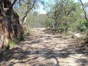
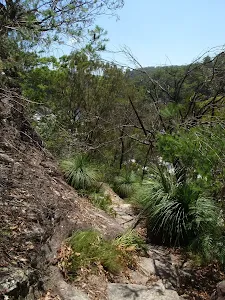
Hard track
Length
10.2 km
Time
4 h to 4 h 30 min
Quality of track
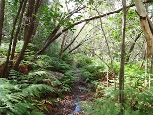
Formed track, with some branches and other obstacles (3/6)
Gradient
Very steep (4/6)
Signage
Directional signs along the way (3/6)
Infrastructure
Limited facilities, not all cliffs are fenced (3/6)
Experience Required
Some bushwalking experience recommended (3/6)
Weather
Weather generally has little impact on safety (1/6)
Some facilities on route
Shelter: There is one 4.9 km from the start.
Toilet: There are 4 on route, on average they are 2 km apart with the largest gap of 4.6 km.
Partly cloudy. Slight chance of a shower along the coastal fringe, near zero chance elsewhere. Winds southerly 15 to 20 km/h becoming light in the evening.
Monday 21 July
8°C → 17°C
Possible shower. 40% chance of rain 0 → 1mm
Partly cloudy. The chance of morning fog in the outer west. Medium chance of showers, most likely in the late morning and afternoon. Light winds becoming east to northeasterly 15 to 20 km/h in the late afternoon then becoming light in the evening.
Fire Danger Rating: No Rating
UV Alert: Sun protection not recommended, UV Index predicted to reach 2 [Low]
Tuesday 22 July
10°C → 19°C
Possible late shower. 40% chance of rain 0 → 1mm
Partly cloudy. The chance of morning fog in the west. Medium chance of showers, most likely in the evening. Light winds becoming north to northeasterly 15 to 20 km/h in the early afternoon then becoming light in the evening.
Wednesday 23 July
11°C → 17°C
Shower or two. 70% chance of rain 0 → 3mm
Partly cloudy. Medium chance of showers, most likely in the morning. Light winds.
Thursday 24 July
8°C → 15°C
Partly cloudy. 20% chance of rain
Partly cloudy. Slight chance of a shower along the coastal fringe, near zero chance elsewhere. Winds southwesterly 15 to 20 km/h tending southerly during the day then becoming light during the afternoon.
Friday 25 July
6°C → 17°C
Possible shower. 40% chance of rain 0 → 1mm
Partly cloudy. Areas of morning frost in the outer west. Medium chance of showers, most likely later in the day. Light winds becoming east to northeasterly 15 to 20 km/h during the day.
Saturday 26 July
11°C → 16°C
Showers. 90% chance of rain 1 → 10mm
Cloudy. Very high chance of showers. Winds northerly 15 to 25 km/h.
Sunday 27 July
9°C → 16°C
Partly cloudy. 20% chance of rain
Partly cloudy. Slight chance of a shower. Winds northwesterly 15 to 25 km/h.
Closed areas: The Basin campground and picnic area closed for weed spraying The Basin campground and picnic area will be closed on Wednesday 30 July and Thursday 31 July 2025 for weed spraying. Penalties apply for non-compliance. For more information, contact the local NPWS office.
Other planned events: 1080 pest management operation NSW National Parks and Wildlife Service will be conducting a baiting program using manufactured baits, fresh baits and Canid Pest Ejectors (CPEs) containing 1080 poison (sodium fluroacetate) for the control of foxes. The program is continuous and ongoing between Saturday 1 February 2025 and Thursday 31 July 2025 in Ku-ring-gai Chase National Park.
Please don’t touch baits or ejector devices. All baiting locations are identifiable by signs.
Domestic pets are not permitted in NSW national parks and reserves. Pets and working dogs may be affected (1080 is lethal to cats and dogs). Pets and working dogs must be restrained or muzzled in the vicinity and must not enter the baiting location. In the event of accidental poisoning seek immediate veterinary assistance.
Fox baiting in these reserves is aimed at reducing their impact on threatened species. Penalties apply for non-compliance. For more information, contact the Forestville area office on 02 9451 3479 or the Lane Cove area office on 02 8448 0400 (business hours). Alternatively, call the NPWS after-hours call centre on 1300 056 294.
Closed areas: Berowra walking track partial closure Berowra walking track is partially closed from Apple Tree Bay to the Mt-Ku-ring-gai access track until further notice. There is a threat of rockfalls due to slope instability caused by recent weather events. NPWS is in the process of carrying out necessary repair works.
Berowra walking track from Berowra Station to Mt Ku-ring-gai remains open. Penalties apply for non-compliance. For more information, contact the local NPWS office on 02 8448 0400 or call 1300 072 757 (13000 PARKS).