


| Full Journey | Great North Walk |
| Start | From the Old Pacific Highway (-33.4380203,151.2519672) |
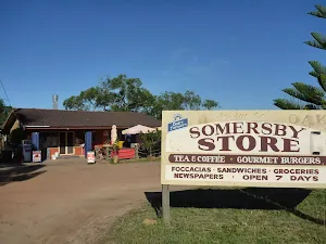
| Mode | Bus Car (There is free parking available.) Special (A bus service runs along Wisemans Ferry Rd passing Somersby store. The service runs between Gosford and Spencer only a few times a day. Please check timetable for more info or Phone Busway on (02) 4368 2277. The bus only picks passengers up from Somersby to head to Gosford on the morning runs. More info) |
| Directions | From , Calga. |
| Finish | At the intersection of Wisemans Ferry Road & Smiths Road (-33.3580778,151.2902824) |
| Mode (end) | Car Shuttle Car (There is free parking available.) |

|
|
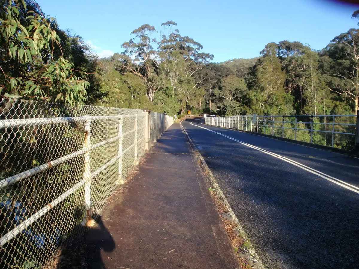
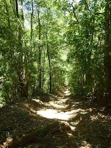
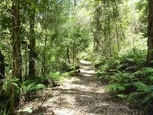
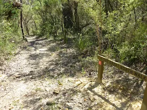
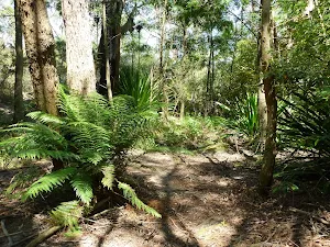
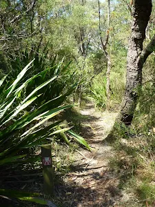
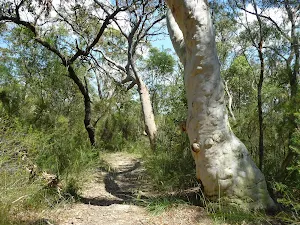
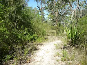
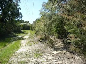
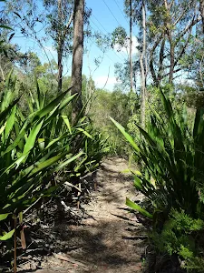
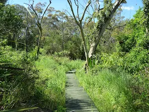
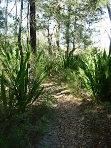
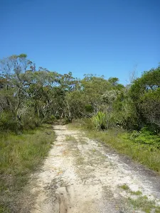
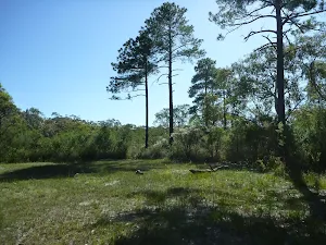
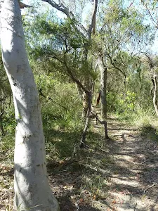
Class 4/6 Hard track |
|---|---|
| Length | 16 km |
| Time | 5 h 32 min to 8 h |
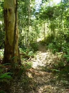
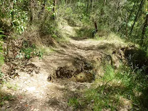
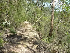
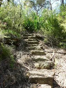
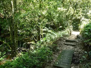
| Quality of track | Formed track, with some branches and other obstacles (3/6) |
| Gradient | Very steep (4/6) |
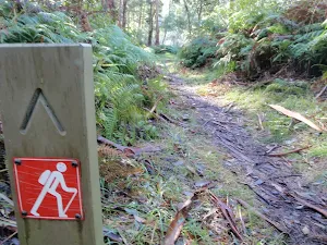
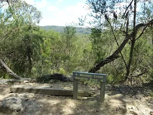
| Signage | Directional signs along the way (3/6) |
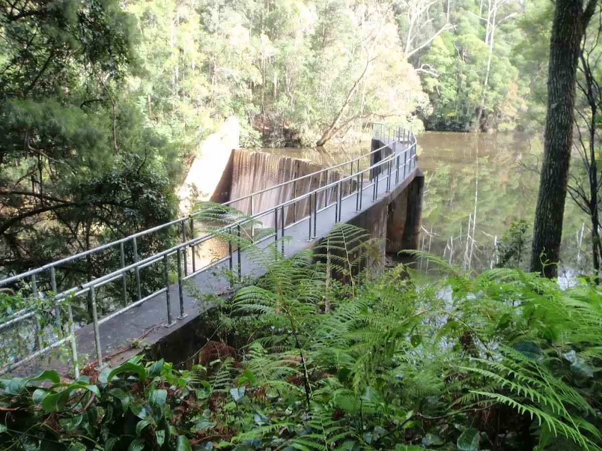
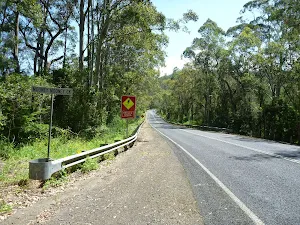
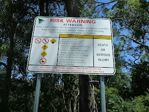
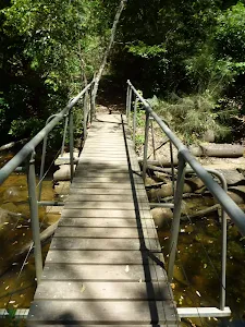
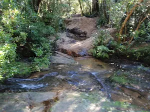
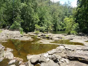
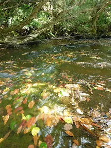
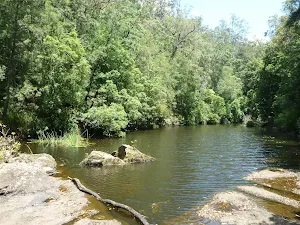
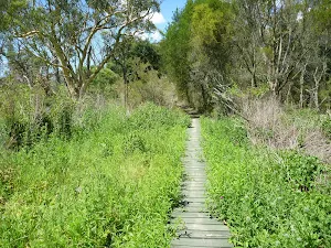
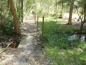
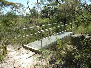
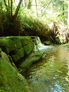
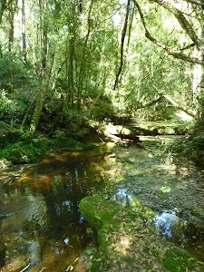
| Infrastructure | Limited facilities (such as cliffs not fenced, significant creeks not bridged) (4/6) |
| Experience Required | Moderate level of bushwalking experience recommended (4/6) |
| Weather | Storms may impact on navigation and safety (3/6) |
| Item | From Start | Name & link to notes |
|---|---|---|
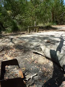
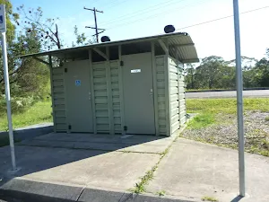
Toilet
| 16 km | [toilet] |
The following roads are accessible for 4WD only - they are damaged and not currently scheduled for upgrades: