| Full Journey | Great North Walk |
| Start | (-33.8631805,151.2101072) |
| Mode | Bus Car (There is free parking available.) Ferry Train |
| Directions | From , Millers Point. |
| Finish | (-33.7319004,151.0780436) |
| Mode (end) | Car Shuttle Bus Car (There is free parking available.) Train |
| Turn map | Directions & comments |
|---|---|
 |
|
 |
|
 |
|
 |
|
 |
|
 |
|
 |
|
 |
|
 |
At the intersection of Birchgrove <-> Grennwich Point & Cockatoo Island - Birchgrove continue straight, to head along Birchgrove <-> Grennwich Point.
|
 |
|
 |
|
 |
|
 |
|
 |
After another 70 m (at the intersection of Gale Street & The Point Road) continue straight, to head along Gale Street.
|
 |
|
 |
|
 |
|
 |
|
 |
|
 |
After another 40 m (at the intersection of Edgecliff Road & Clarke Road) veer left, to head along Edgecliff Road (a residential road).
|
 |
|
 |
|
 |
|
 |
|
 |
|
 |
|
 |
|
 |
|
 |
|
 |
|
 |
|
 |
After another 95 m (at the intersection of Garrick Avenue & Crescent Street) turn left, to head along Garrick Avenue.
|
 |
|
 |
|
 |
|
 |
|
 |
|
 |
|
 |
|
 |
|
 |
|
 |
|
 |
|
 |
|
 |
|
 |
|
 |
After another 550 m (at the intersection of Boronia Avenue & Ryde Road) turn right, to head along Boronia Avenue (a residential road).
|
 |
|
 |
|
 |
|
 |
|
 |
|
 |
|
 |
|
 |
|
 |
|
 |
|
 |
|
 |
|
 |
|
 |
|
 |
The starting point of an optional sidetrip. An optional side trip to Sugarloaf Point. To start this optional side trip turn right here. On returning from this side trip continue straight when you get back to this intersection. Details below.
|
 |
|
 |
|
 |
|
 |
|
 |
|
 |
|
 |
|
 |
|
 |
|
 |
|
 |
|
 |
|
 |
|
 |
|
 |
|
 |
|
 |
|
 |
The starting point of an optional sidetrip. Side trip to optional accommodation Discovery Parks - Lane Cove. To start this optional side trip turn left here. On returning from this side trip error >360 when you get back to this intersection. Details below.
|
 |
|
 |
|
 |
|
 |
At the intersection of The Great North Walk & Max Allen Road continue straight, to head along The Great North Walk (a footpath).
|
 |
|
 |
|
 |
|
 |
After another 15 m (at the intersection of The Great North Walk & Lane Cove Depot Road) veer right, to head along The Great North Walk (a footpath).
|
 |
After another 40 m (from the The Great North Walk) continue straight, to head along The Great North Walk.
|
 |
|
 |
After another 70 m (from the The Great North Walk) continue straight, to head along The Great North Walk.
|
 |
|
 |
|
 |
|
 |
|
 |
|
 |
|
 |
|
 |
|
 |
|
 |
|
 |
|
 |
|
 |
|
 |
|
 |
|
 |
After another 15 m (from the The Lane Cove Valley Walk) veer right, to head along The Lane Cove Valley Walk (a vehicle track).
|
 |
After another 270 m (from the The Lane Cove Valley Walk) turn left, to head along The Lane Cove Valley Walk.
|
 |
At the intersection of The Lane Cove Valley Walk & Devlins Creek Trail continue straight, to head along The Lane Cove Valley Walk.
|
 |
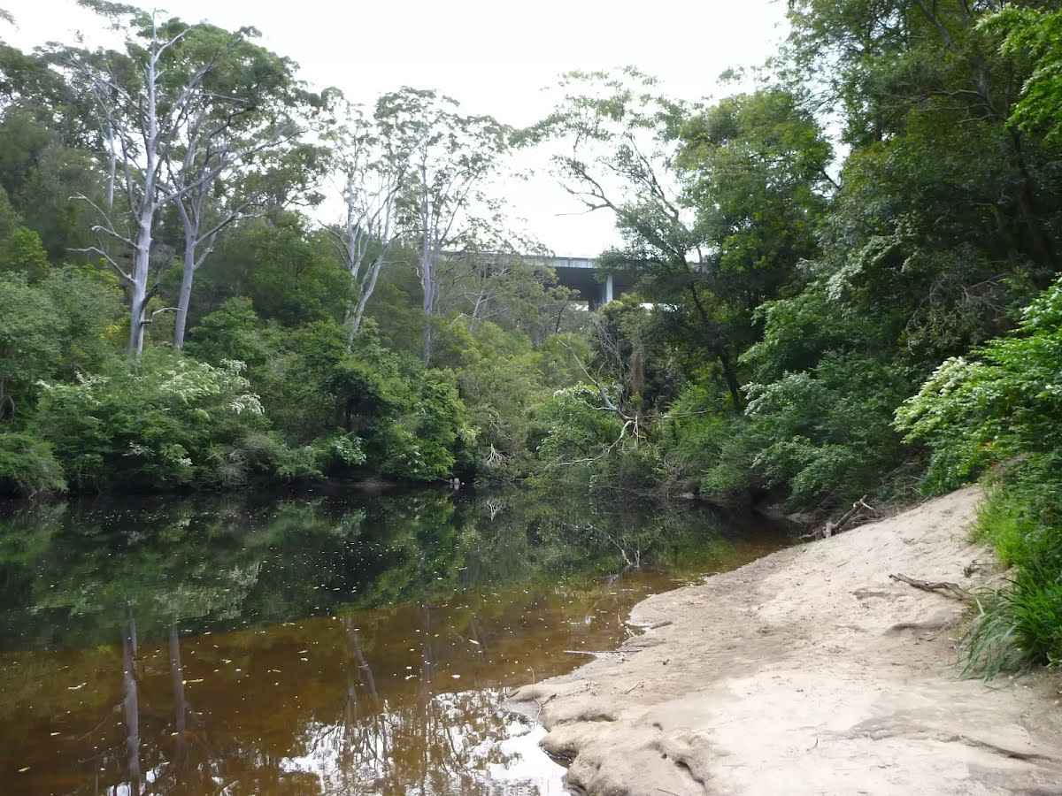
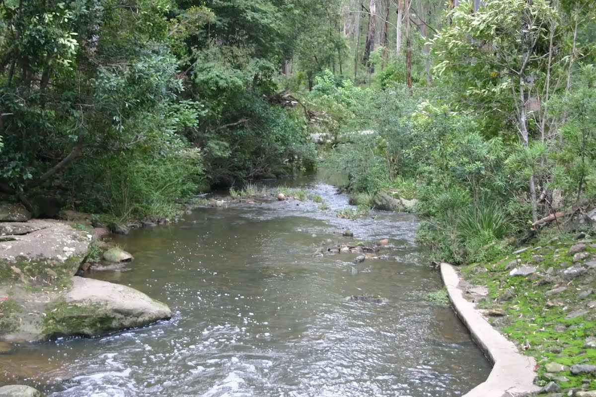
At the intersection of The Lane Cove Valley Walk & Lane Cove River continue straight, to head along The Lane Cove Valley Walk.
|
 |
|
 |
|
 |
|
 |
|
 |
|
 |
|
 |
After another 15 m (from the Handley Avenue) continue straight, to head along Handley Avenue (a residential road).
|
 |
|
 |
|
 |
|
 |
|
 |
The starting point of an optional sidetrip. Side trip to optional accommodation Thornleigh Ibis. To start this optional side trip turn right here. On returning from this side trip error >360 when you get back to this intersection. Details below.
|
 |
|
 |
|
 |
| Turn map | Directions & comments |
|---|---|
 |
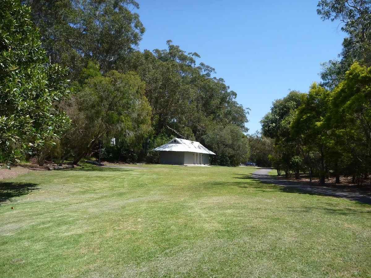
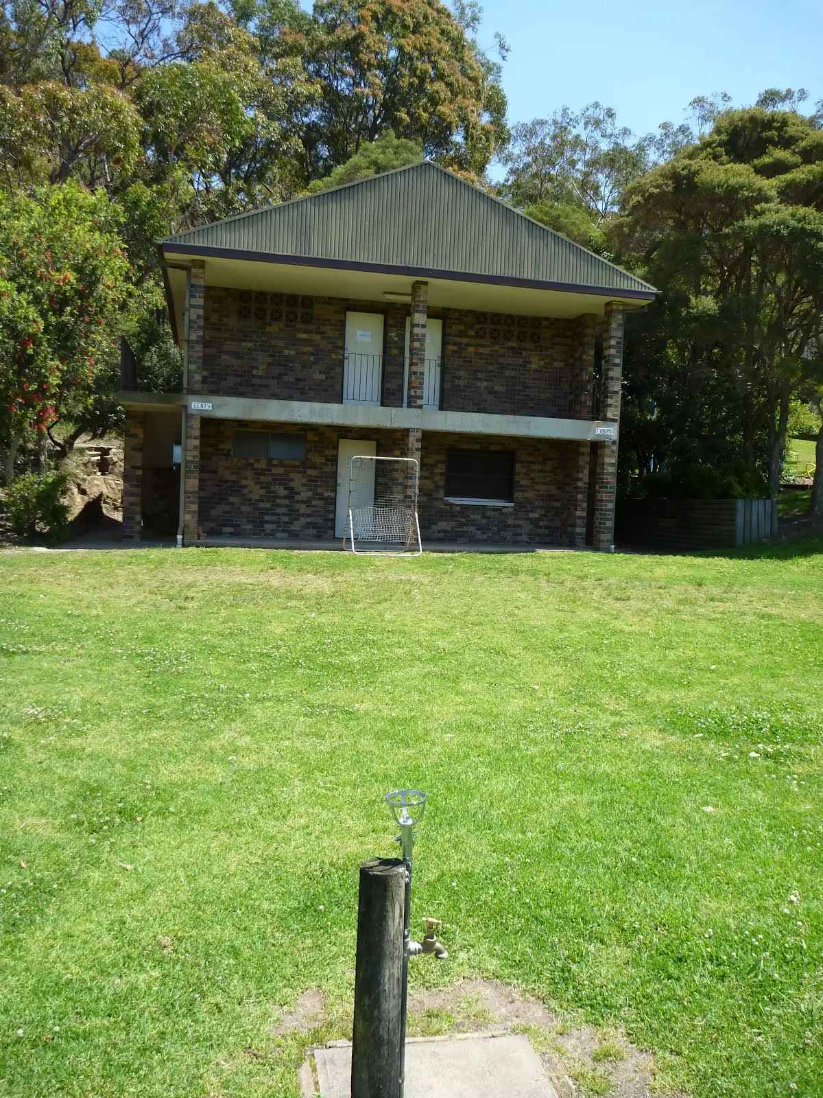
W:www.toiletmap.gov.au This toilet is male and female.
"Daylight hours"
|
 |
|
 |
|
 |
|
 |
|
 |
|
 |
|
 |
|
 |
|
 |
|
 |
|
 |
|
 |
|
 |
|
 |
|
 |
|
 |

|
|
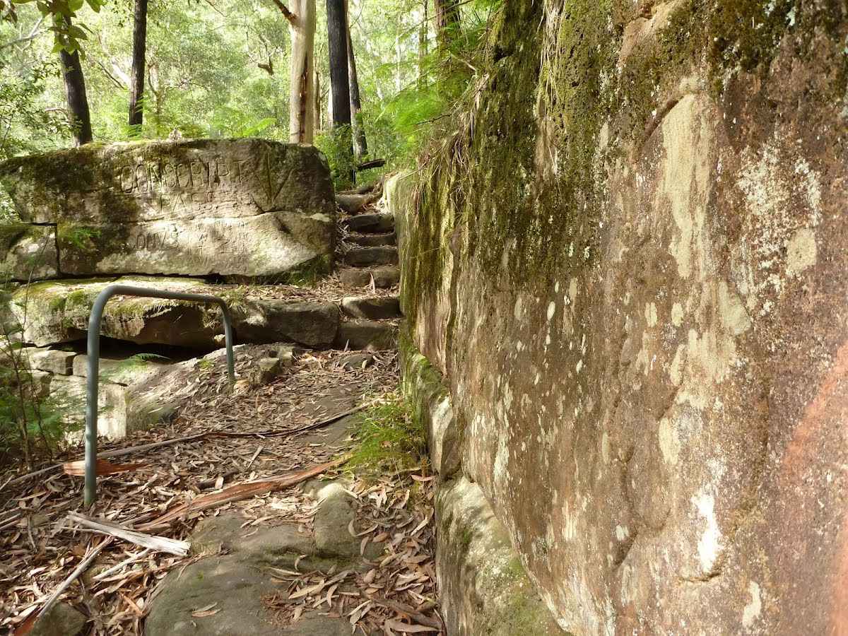
Class 4/6 Hard track |
|---|---|
| Length | 34.3 km |
| Time | 11 h 17 min to 2 days |
| Quality of track | Rough track, where fallen trees and other obstacles are likely (4/6) |
| Gradient | Very steep (4/6) |
| Signage | Directional signs along the way (3/6) |
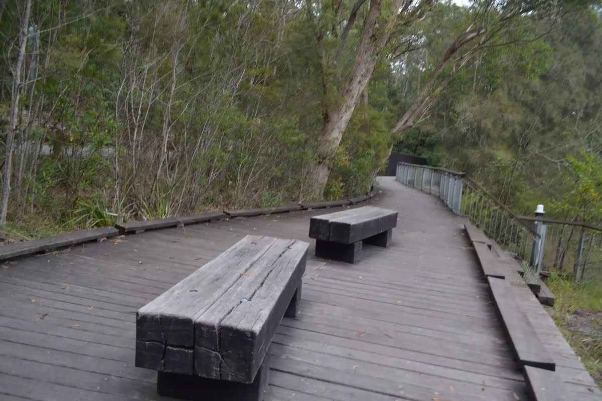
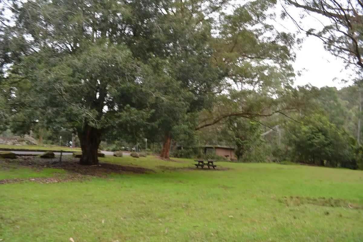
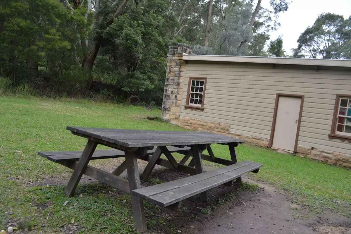
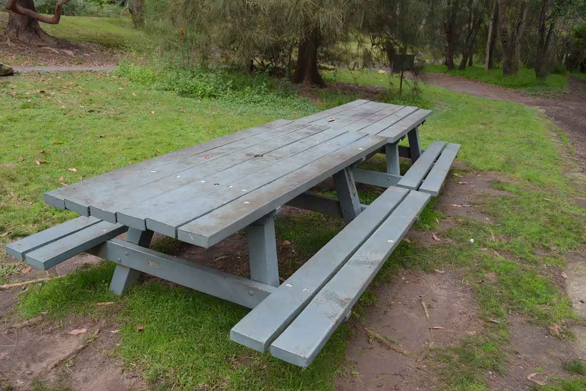
| Infrastructure | Limited facilities, not all cliffs are fenced (3/6) |
| Experience Required | Some bushwalking experience recommended (3/6) |
| Weather | Storms may impact on navigation and safety (3/6) |
| Item | From Start | Name & link to notes |
|---|---|---|
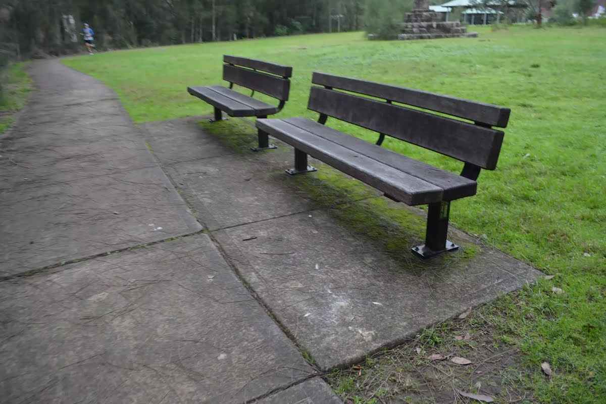
Seat
| 90 m | [seat] |
Seat
| 140 m | [seat] |
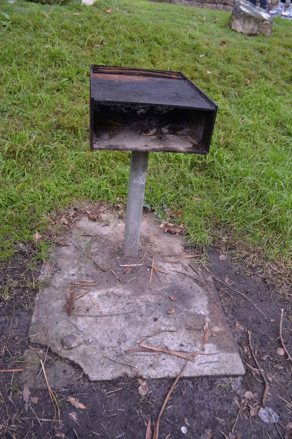
Toilet
| 175 m | [toilet] |
Seat
| 185 m | [seat] |
Seat
| 235 m | [seat] |
Seat
| 285 m | [seat] |
Toilet
| 325 m | [toilet] |
Seat
| 6 km | [seat] |
Toilet
| 6.6 km | [toilet] |
Seat
| 8 km | [seat] |
Seat
| 11 km | [seat] |
Seat
| 14.4 km | [seat] |
Toilet
| 15.1 km | [toilet] |
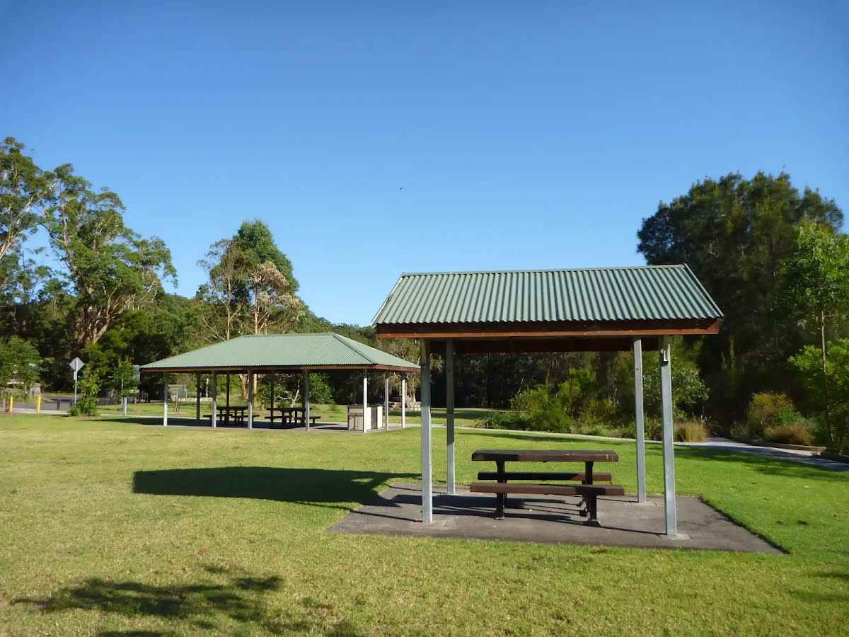
Shelter
| 15.1 km | [shelter] |
Seat
| 15.9 km | [seat] |
Toilet
| 17.3 km | [toilet] |
Accommodation
| 18.2 km + 620 m | Oaks Sydney North Ryde Suites |
Seat
| 18.7 km | [seat] |
Seat
| 20 km | [seat] |
Toilet
| 20.2 km | [toilet] |
Shelter
| 20.3 km + -79 m | [shelter] |
Shelter
| 20.3 km + -54 m | [shelter] |
Seat
| 20.3 km + -26 m | 01 |
Seat
| 20.3 km + -21 m | 02 |
Toilet
| 20.3 km + 0 m | Koonjeree Womens |
Shelter
| 20.3 km + 20 m | [shelter] |
Shelter
| 20.3 km + 20 m | Koonjeree Rotunda |
Seat
| 20.3 km + 35 m | [seat] |
Seat
| 20.3 km + 60 m | Seat |
Seat
| 20.3 km + 210 m | Seat |
Seat
| 20.3 km + 235 m | 01 |
Seat
| 20.3 km + 240 m | Seat |
Seat
| 20.3 km + 255 m | 02 |
Seat
| 20.3 km + 265 m | 04 |
Seat
| 20.3 km + 265 m | 03 |
Shelter
| 20.3 km + 295 m | Blue Wren Rotunda |
Toilet
| 20.3 km + 325 m | Public Toilet Blue Wren |
Shelter
| 20.3 km + 410 m | [shelter] |
Seat
| 20.3 km + 550 m | [seat] |
Shelter
| 20.3 km + 580 m | [shelter] |
Toilet
| 20.3 km + 680 m | Moola |
Seat
| 20.3 km + 770 m | [seat] |
Seat
| 20.3 km + 790 m | [seat] |
Shelter
| 20.3 km + 820 m | Gable Large |
Toilet
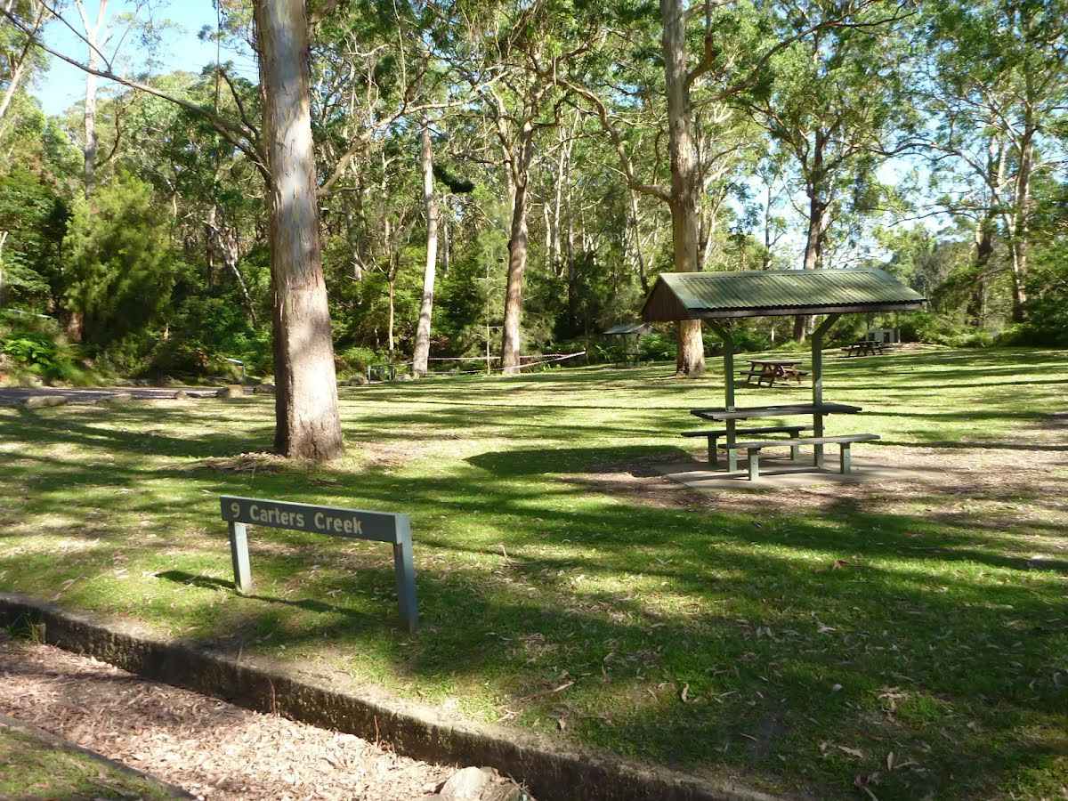
| 20.3 km + 1.2 km | Carters Creek |
Shelter
| 20.3 km + 1.2 km | [shelter] |
Seat
| 20.3 km + 1.5 km | [seat] |
Shelter
| 20.3 km + 1.6 km | 02 |
Shelter
| 20.3 km + 1.6 km | Blackbutt Rotunda 2 |
Shelter
| 20.3 km + 1.6 km | 01 |
Shelter
| 20.3 km + 1.6 km | Blackbutt Rotunda 1 |
Toilet
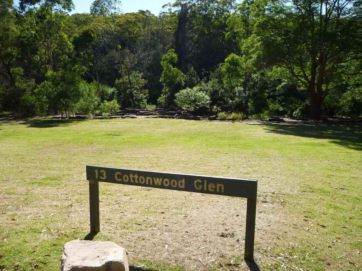
| 20.3 km + 1.6 km | Cottonwood Glen |
Toilet
| 20.3 km + 1.9 km | Scribbly Gums Toilets |
Toilet
| 20.3 km + 2 km | Amenity A1 - North |
Seat
| 20.3 km + 2 km | [seat] |
Shelter
| 20.3 km + 2 km | [shelter] |
Seat
| 20.3 km + 2 km | [seat] |
Shelter
| 20.3 km + 2 km | Playground Shade Sail |
Shelter
| 20.3 km + 2 km | [shelter] |
Shelter
| 20.3 km + 2 km | [shelter] |
Seat
| 20.3 km + 2.1 km | [seat] |
Shelter
| 20.3 km + 2.1 km | [shelter] |
Seat
| 20.3 km + 2.1 km | [seat] |
Campsite
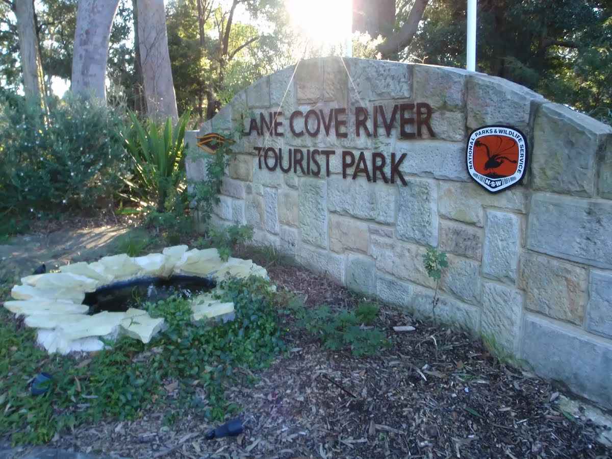
| 20.3 km + 2.1 km | Lane Cove River tourist park |
Seat
| 20.3 km + 2.1 km | [seat] |
Seat
| 20.3 km + 2.1 km | Outside fence, nr Area Office |
Shelter
| 20.3 km + 2.3 km | Camp Kitchen - east |
Shelter
| 20.3 km + 2.3 km | [shelter] |
Seat
| 20.3 km | Seat |
Seat
| 20.3 km | [seat] |
Seat
| 20.3 km | [seat] |
Seat
| 20.4 km | Seat |
Toilet
| 20.6 km | [toilet] |
Shelter
| 20.7 km | [shelter] |
Toilet
| 24.5 km + 1.5 km | [toilet] |
Seat
| 33.2 km | [seat] |
Seat
| 33.2 km | [seat] |
Seat
| 33.3 km | [seat] |
Toilet
| 33.3 km | [toilet] |
Seat
| 34.2 km + 20 m | [seat] |
Seat
| 34.2 km + 35 m | [seat] |
Seat
| 34.2 km + 35 m | [seat] |
Accommodation
| 34.2 km + 600 m | Thornleigh Ibis |
Seat
| 34.2 km | [seat] |
Toilet
| 34.3 km | [toilet] |
Toilet
| 34.3 km | [toilet] |
Seat
| 34.3 km | [seat] |
The current status of the Great North Walk is;
The following roads are accessible for 4WD only - they are damaged and not currently scheduled for upgrades: