


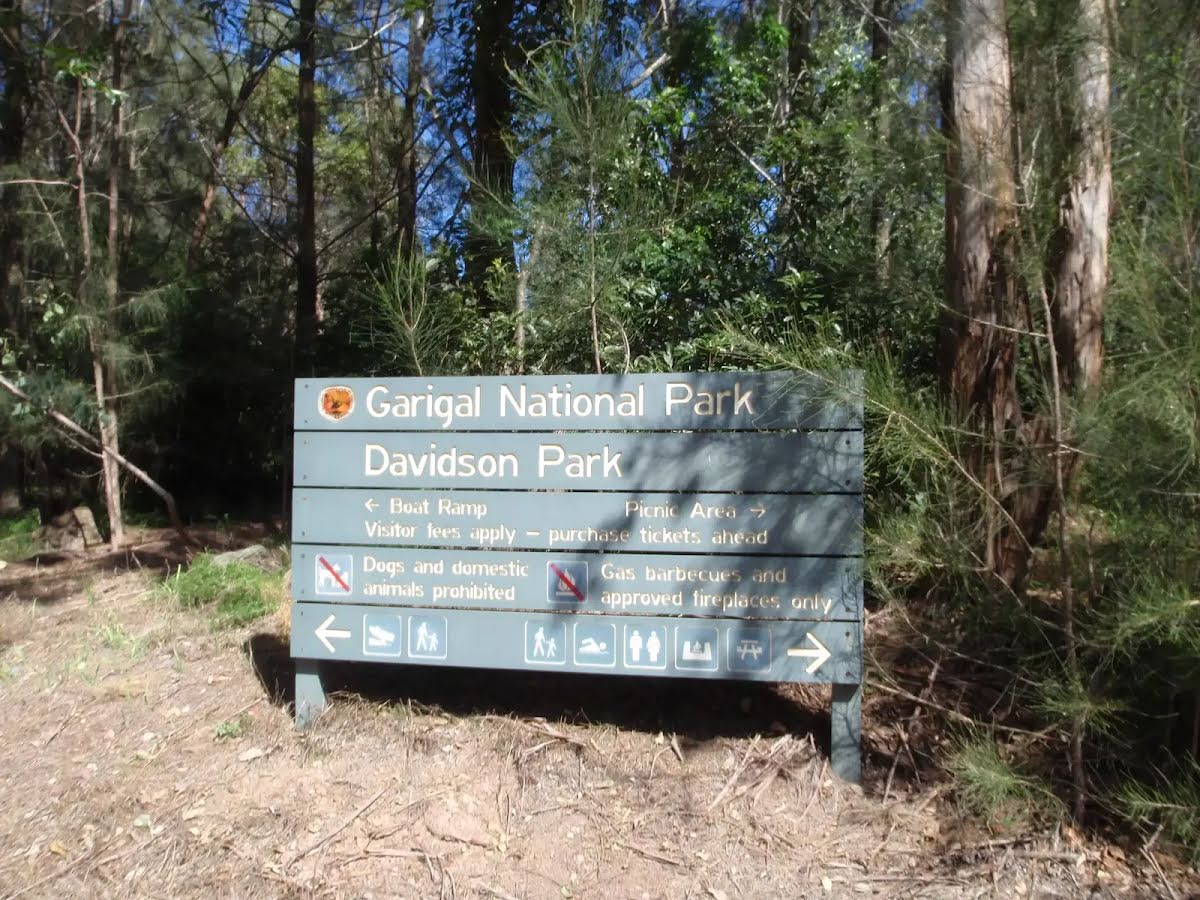
| Start | (-33.7819415,151.237195) |
| Mode | Bus Car (There is free parking available.) |
| Directions | From Warringah Road, A38
|
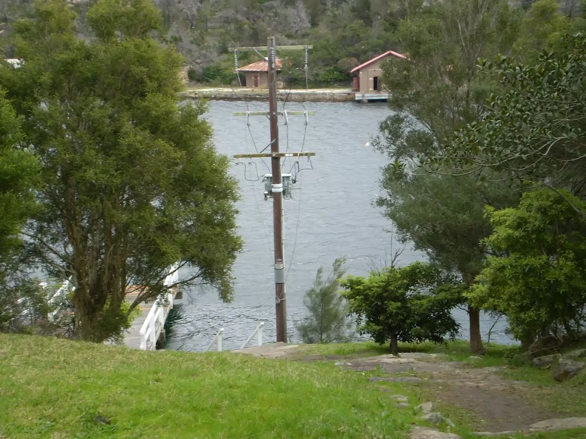
| Finish | (-33.7680459,151.2032446) |
| Mode (end) | Car Shuttle Bus Car (There is free parking available.) |
| Turn map | Directions & comments |
|---|---|
 |
|
 |
|
 |
|
 |
|
 |
|
 |
|
 |
|
 |
|
 |
|
 |
|
 |
|
 |
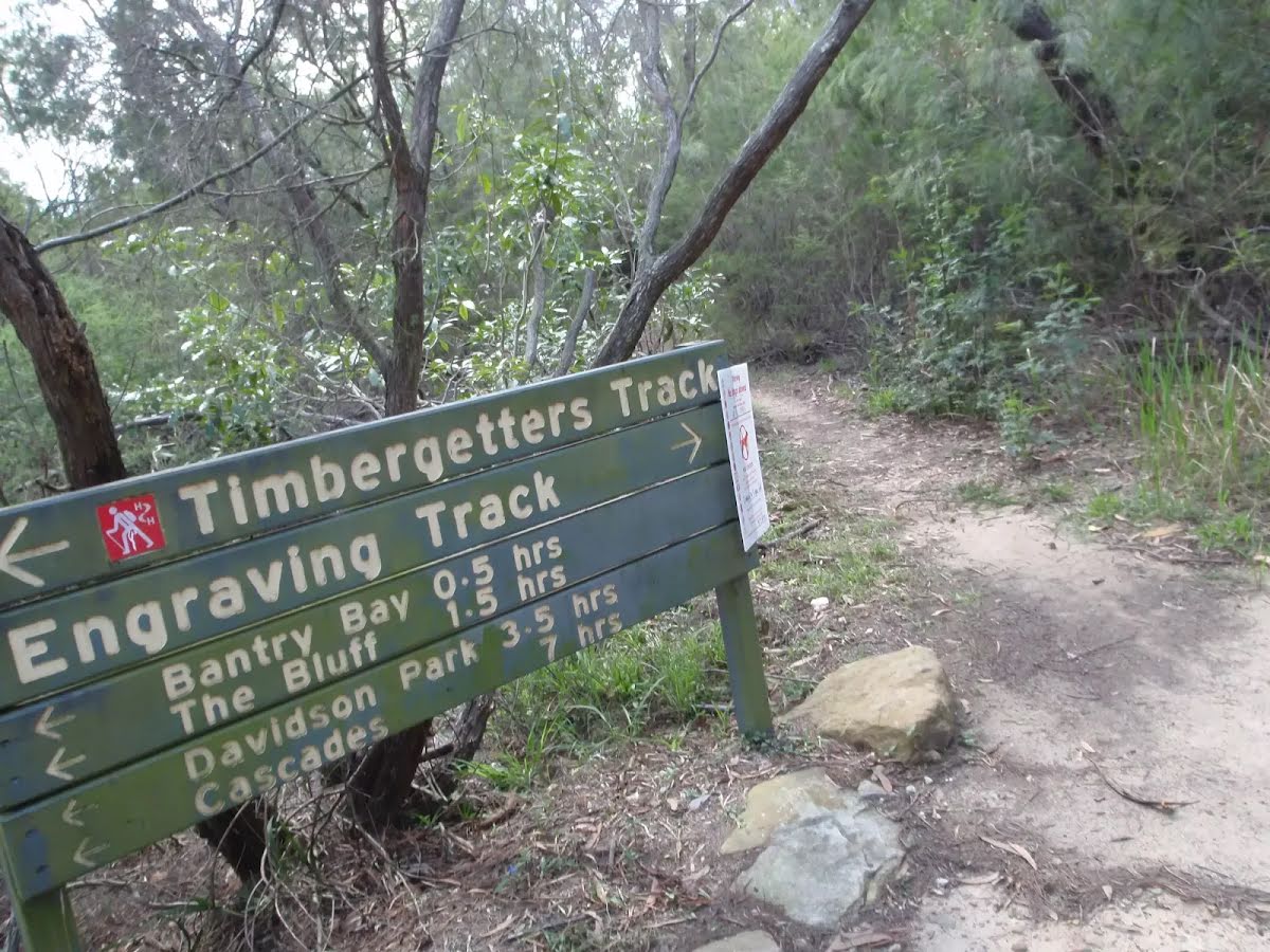
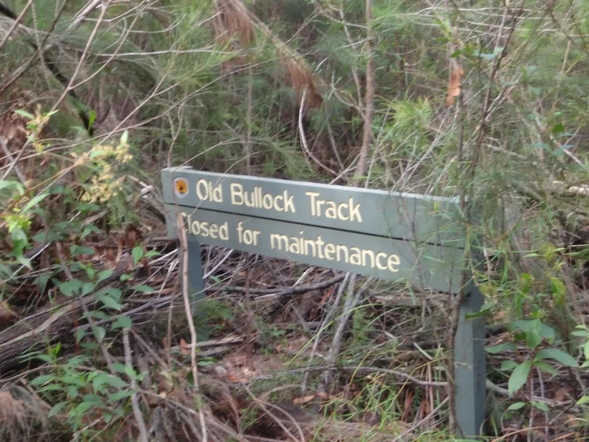
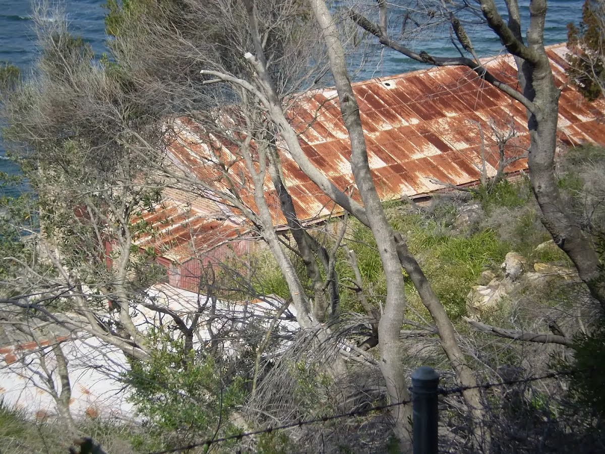
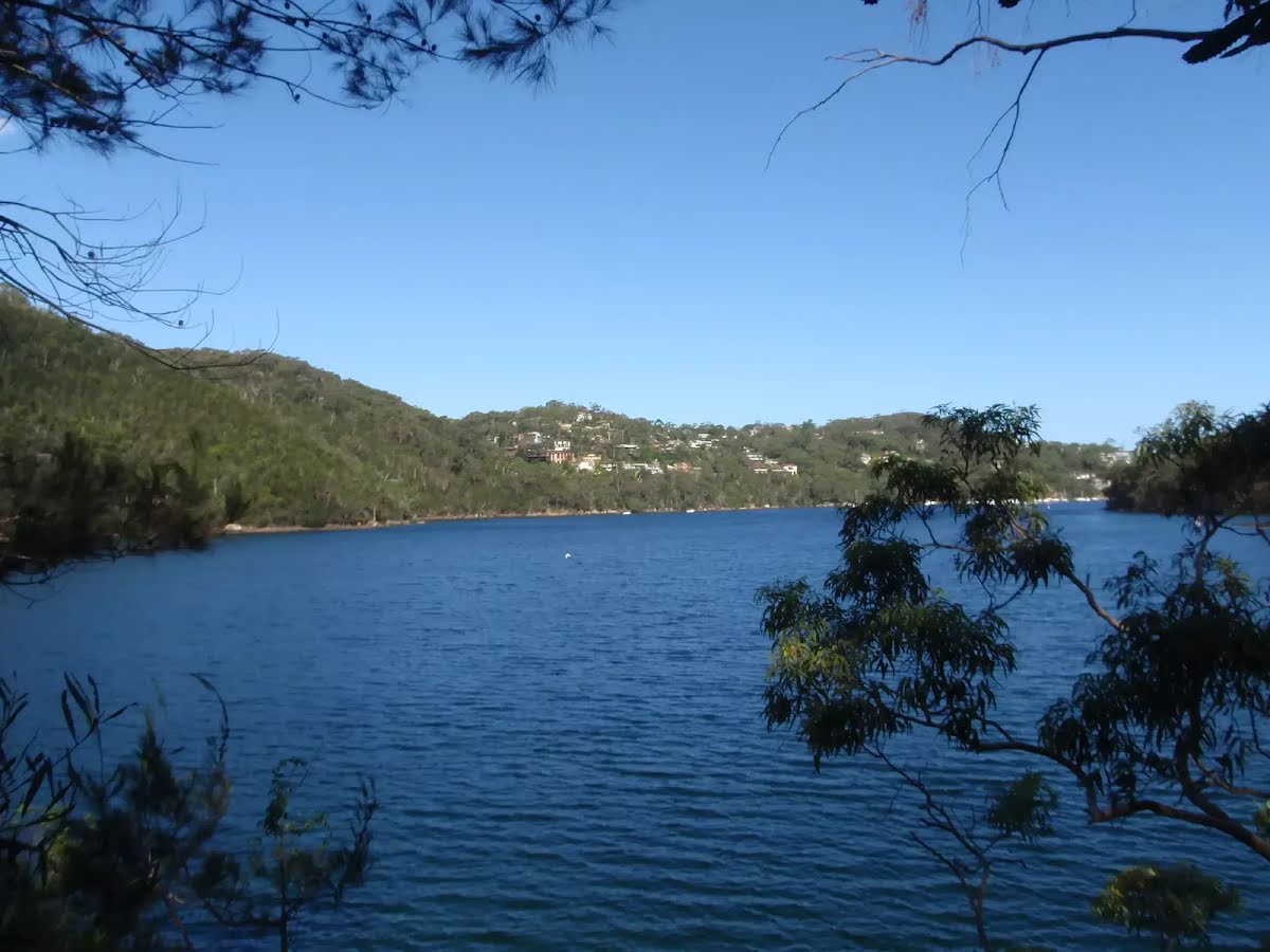
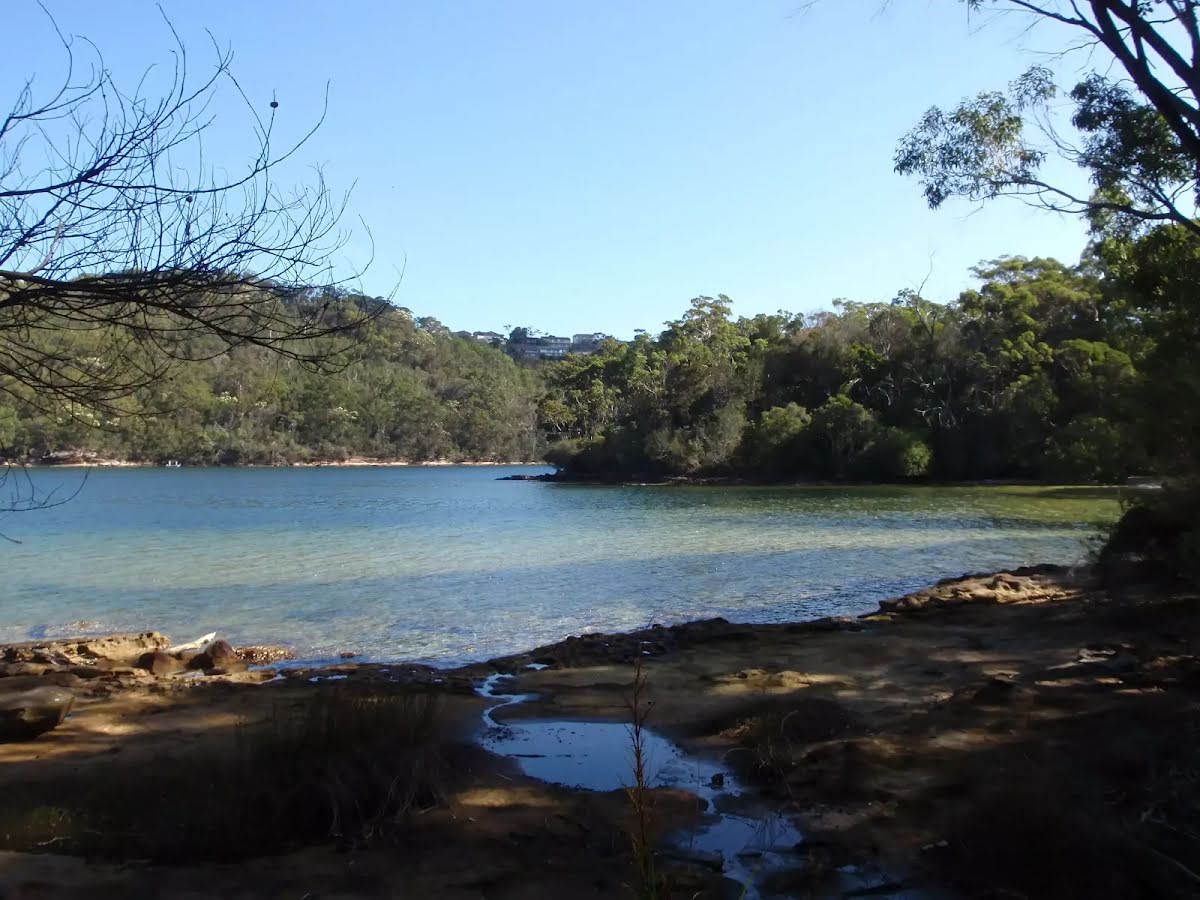
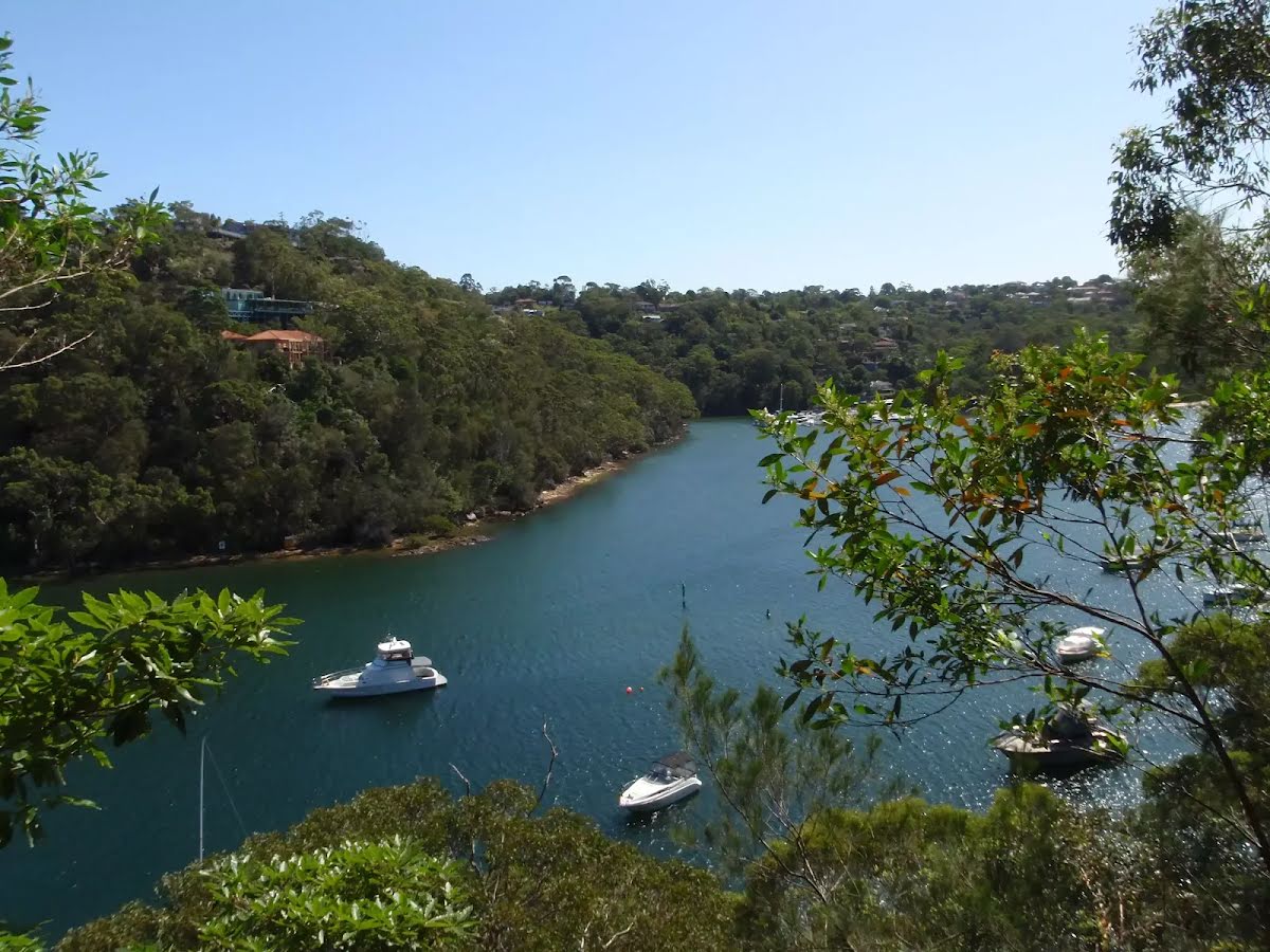
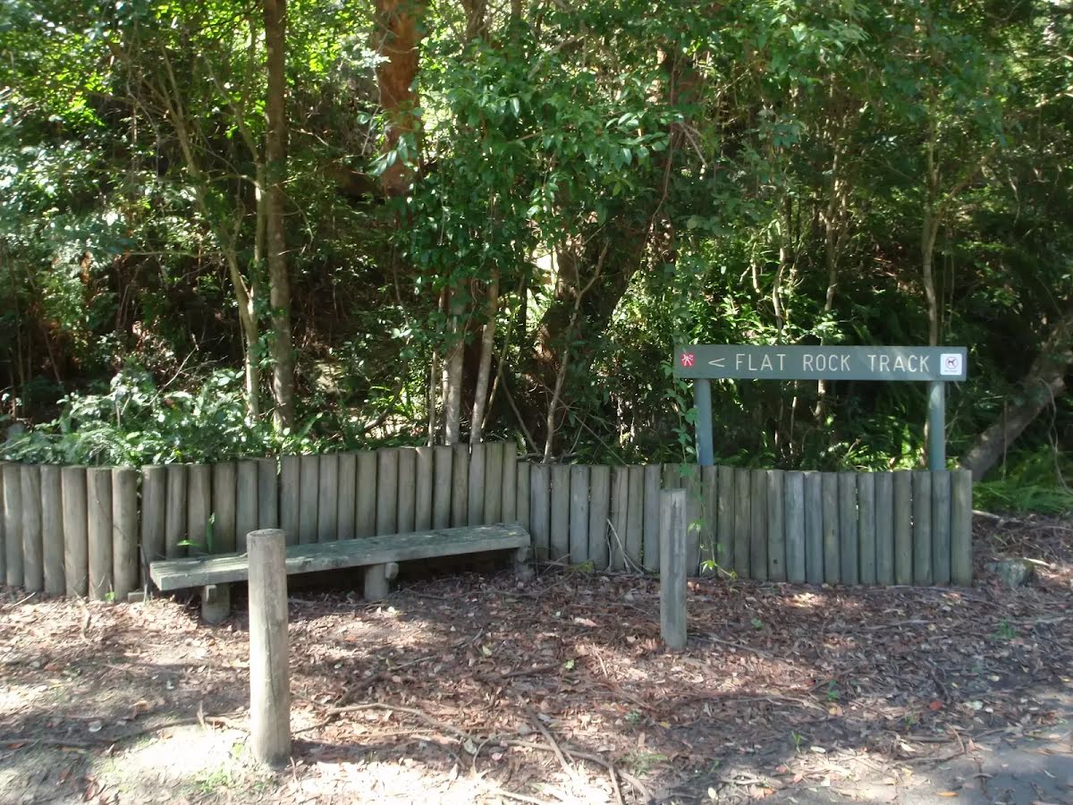
The starting point of an optional sidetrip. An optional side trip to Flat Rock Beach. To start this optional side trip turn left here. On returning from this side trip veer left when you get back to this intersection. Details below.
|
 |
|
 |
|
 |
|
 |
|
 |
|
 |
|
 |
|
 |
|
 |
|

|
|
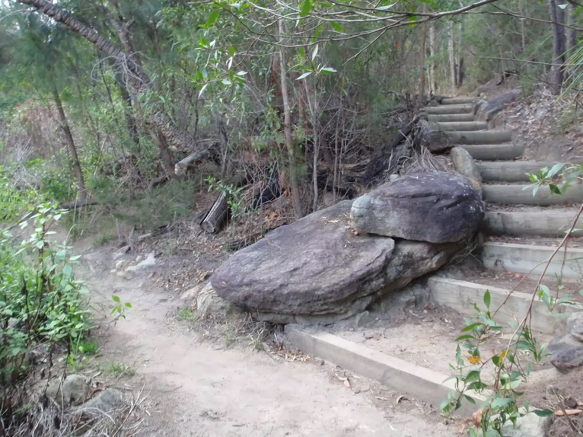
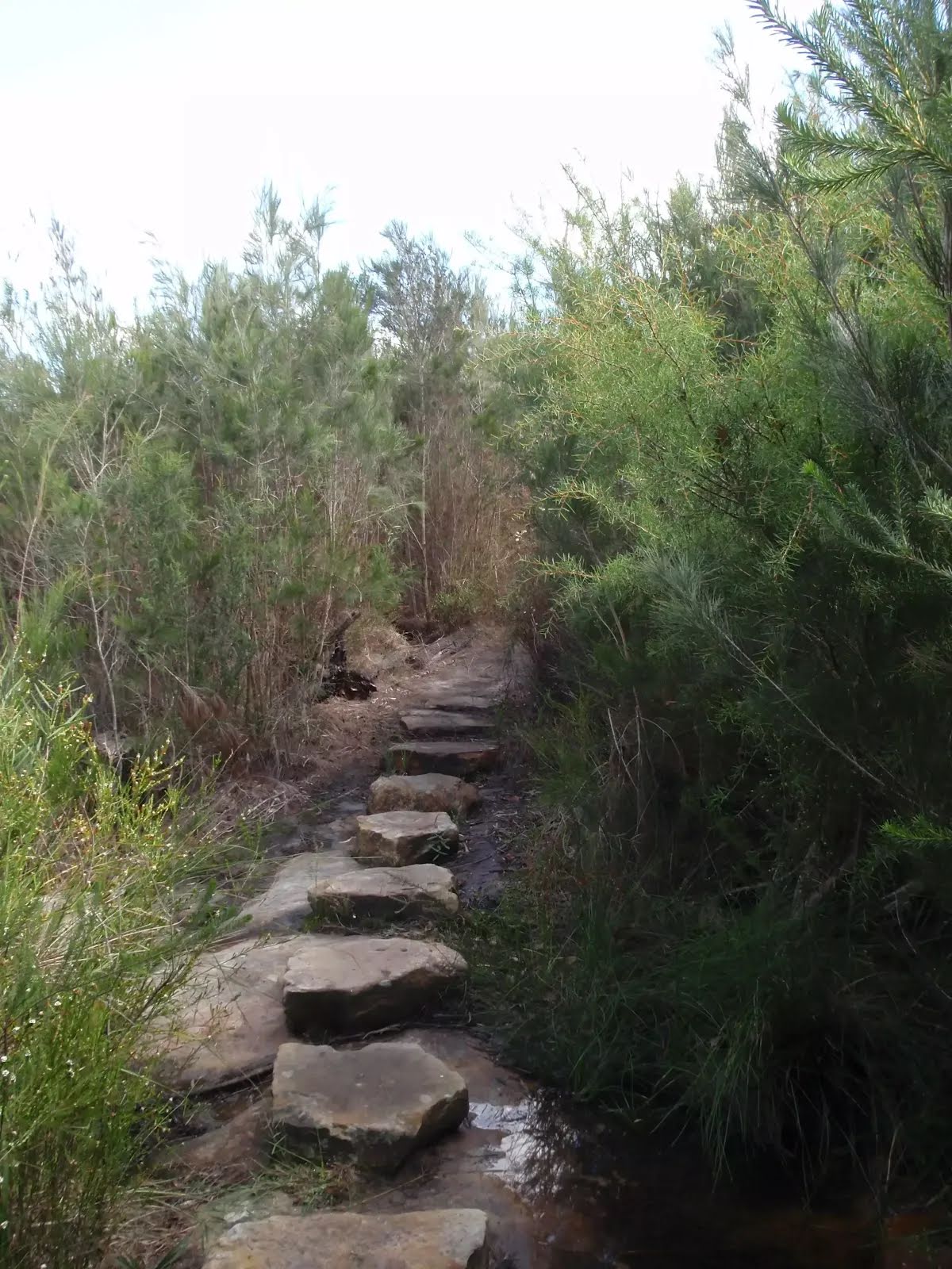
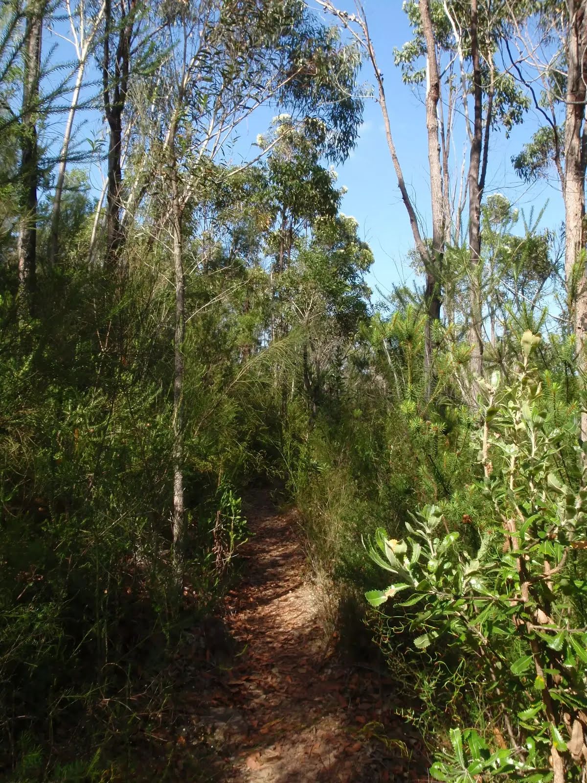
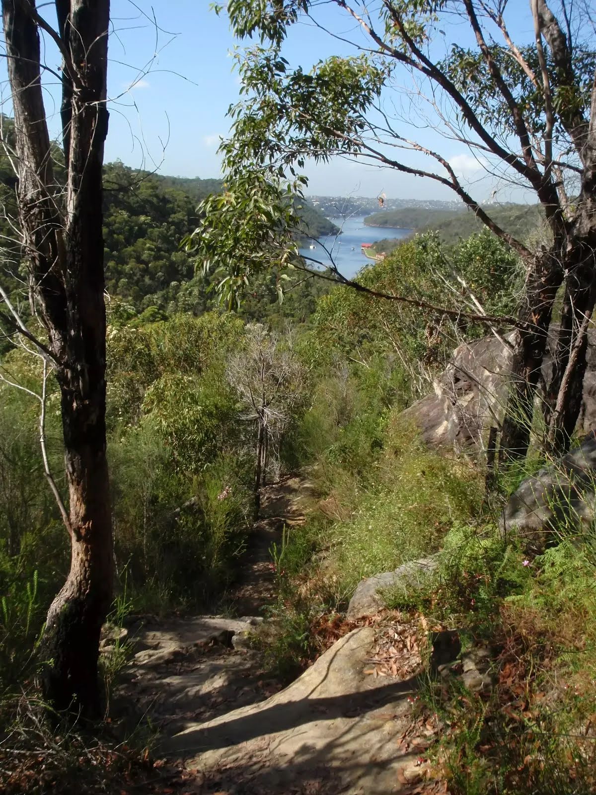
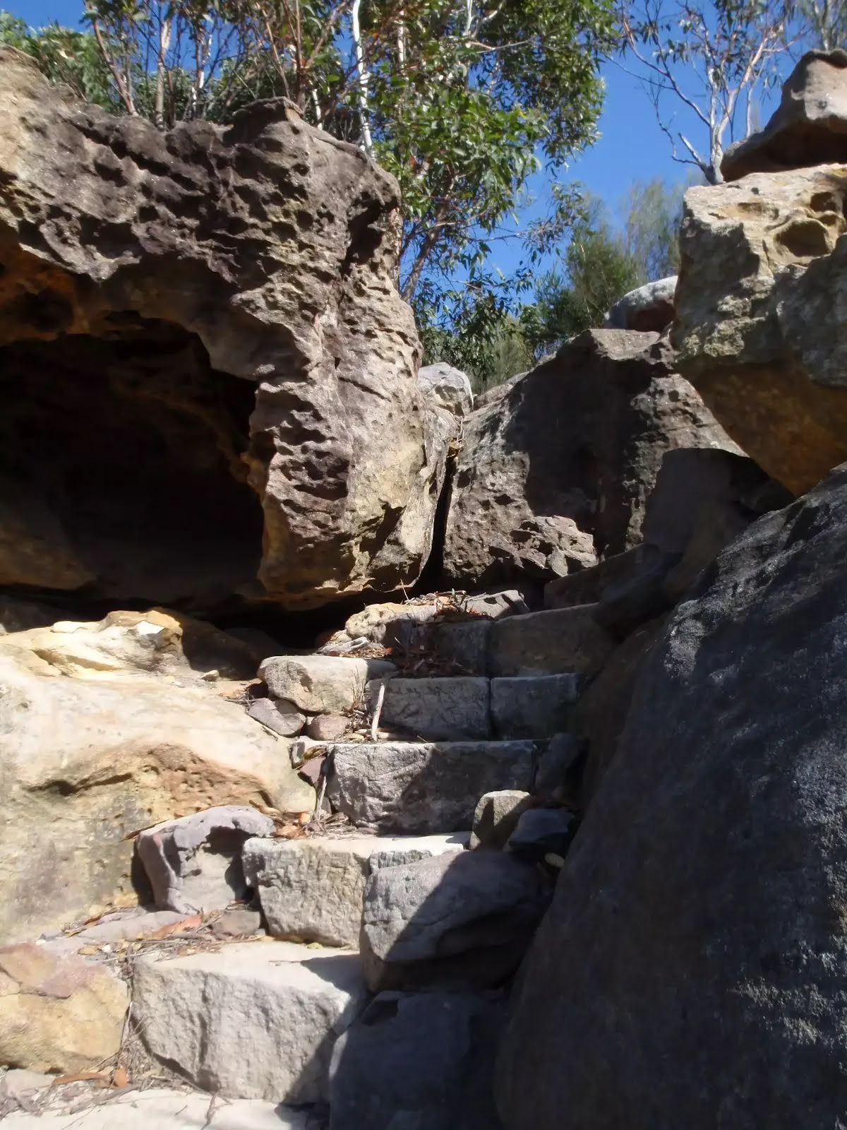
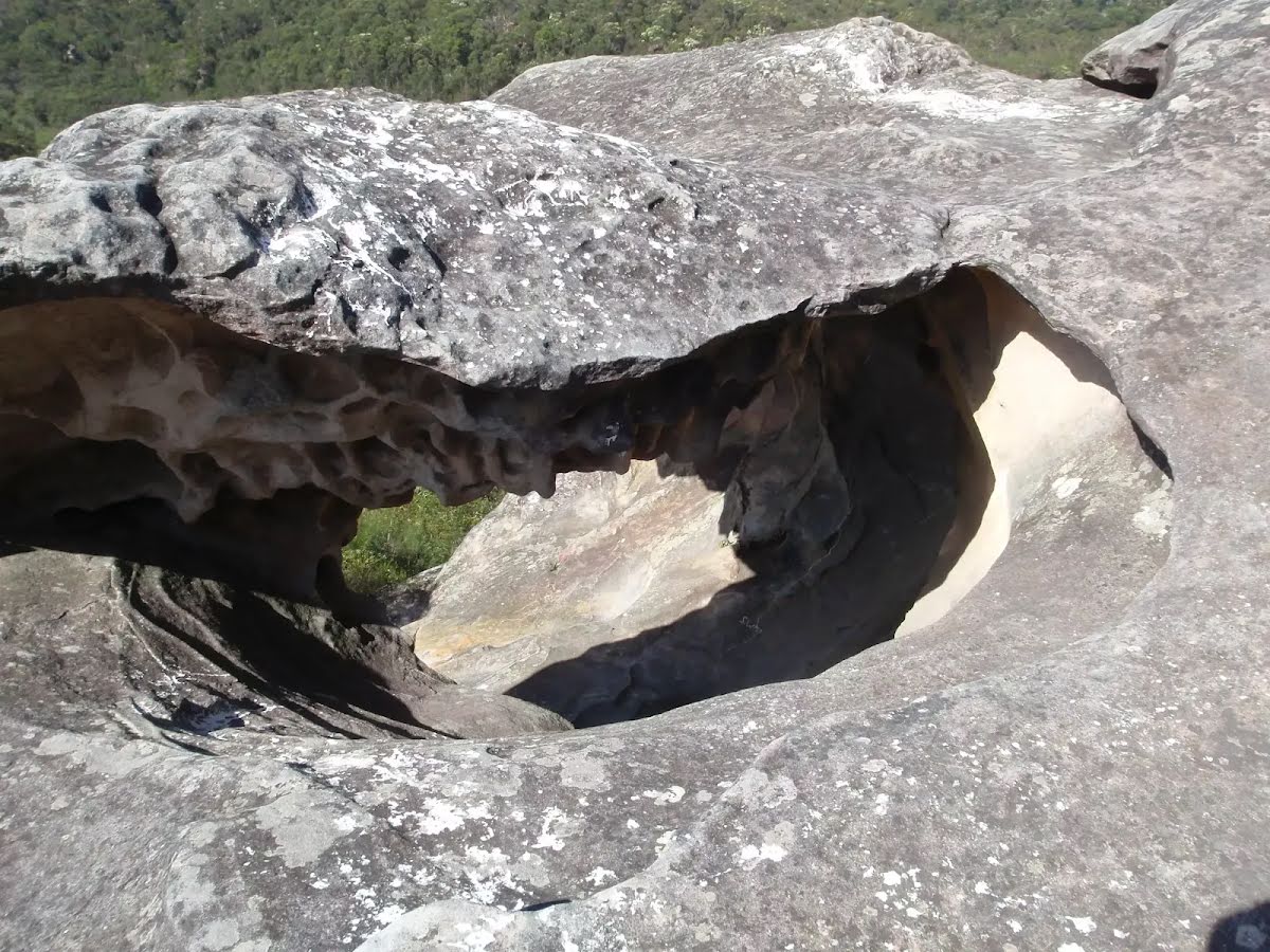
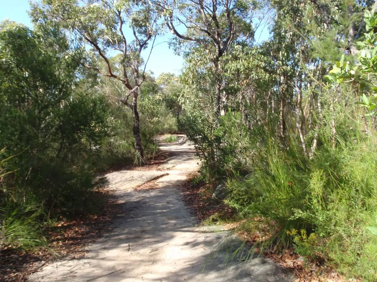
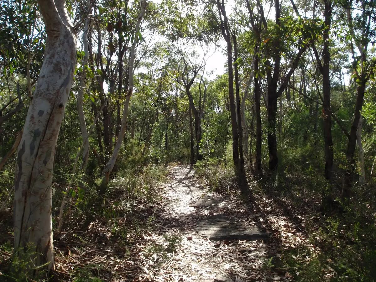
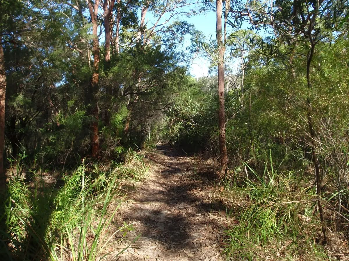
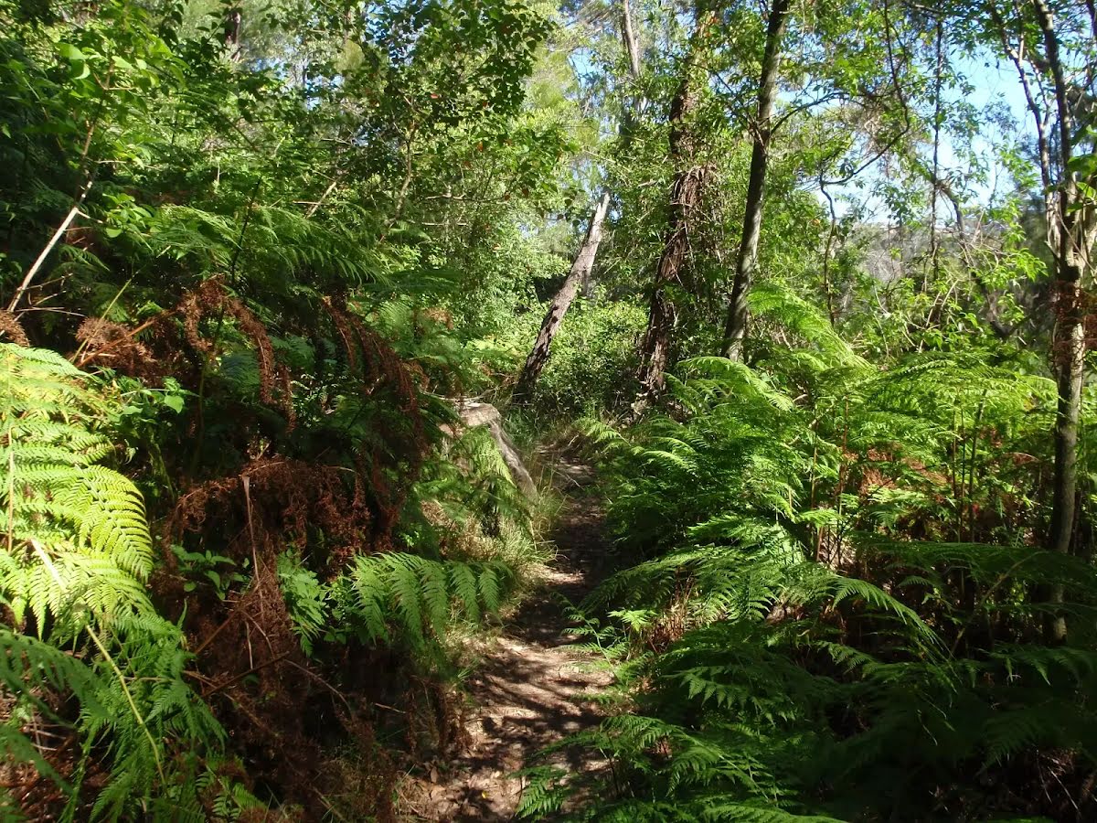
Class 4/6 Hard track |
|---|---|
| Length | 10 km |
| Time | 4 h to 4 h 30 min |
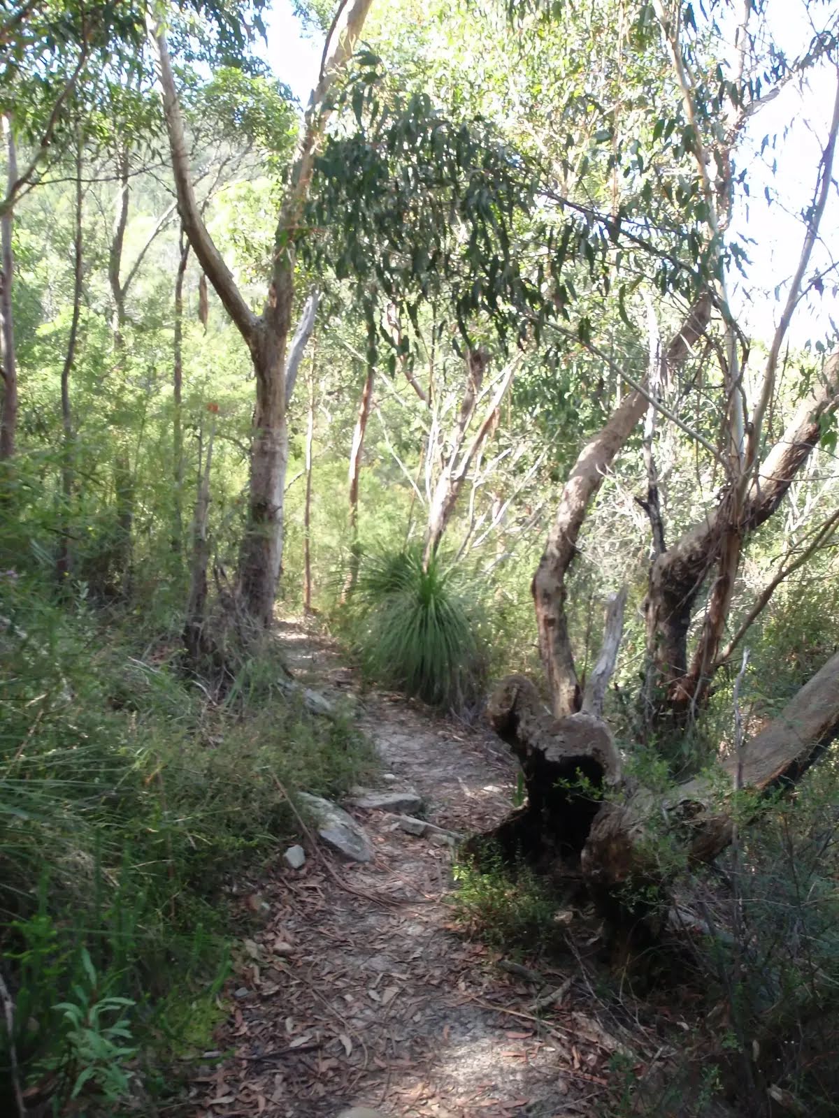
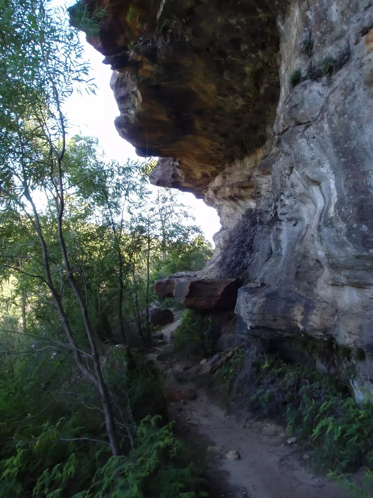
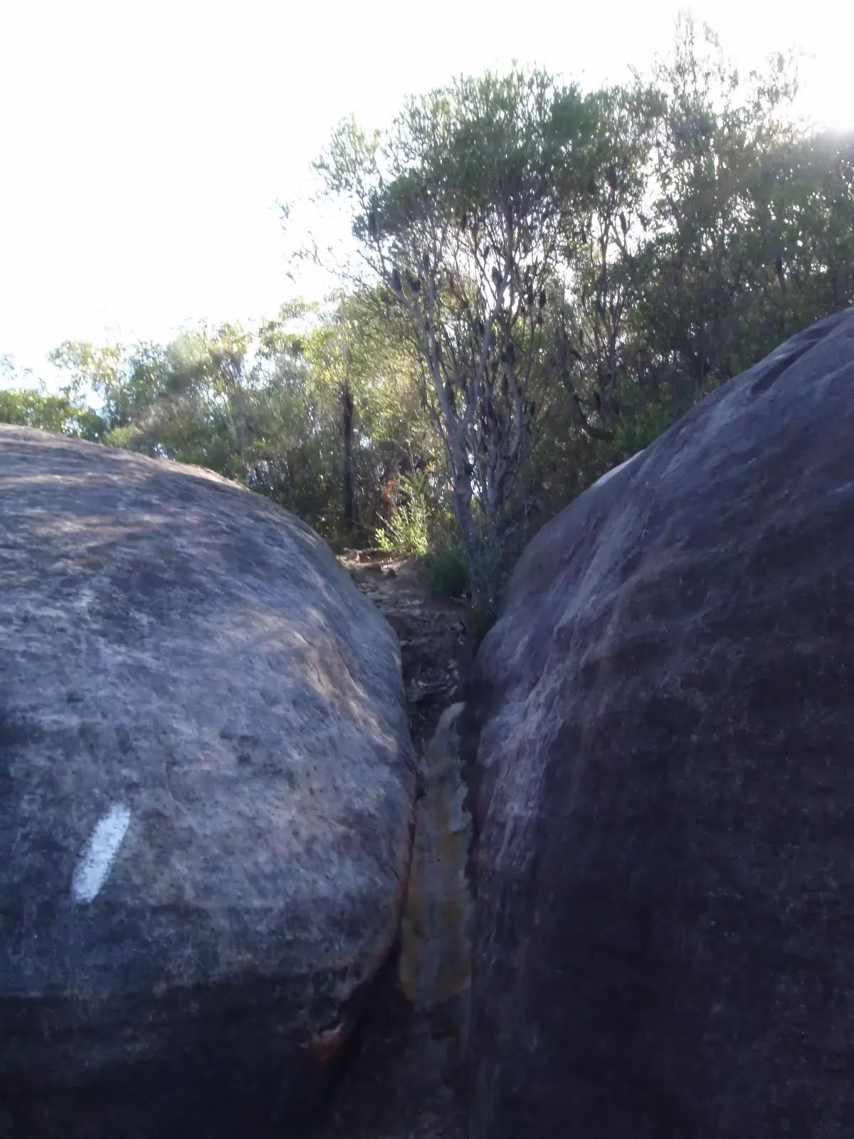
| Quality of track | Formed track, with some branches and other obstacles (3/6) |
| Gradient | Very steep (4/6) |
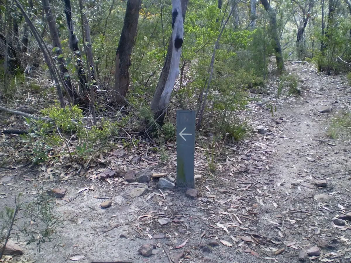
| Signage | Directional signs along the way (3/6) |
| Infrastructure | Limited facilities, not all cliffs are fenced (3/6) |
| Experience Required | Some bushwalking experience recommended (3/6) |
| Weather | Weather generally has little impact on safety (1/6) |
| Item | From Start | Name & link to notes |
|---|---|---|
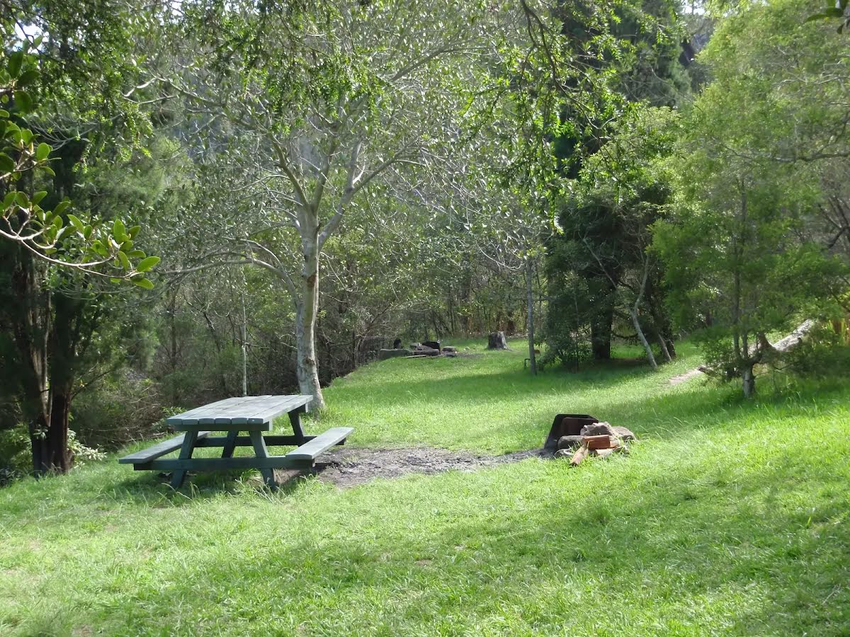
Toilet
| -57 m | [toilet] |
Toilet
| 850 m | [toilet] |
Toilet
| 10 km | [toilet] |