


| Full Journey | Great North Walk |
| Start | (-33.5937932,151.1716577) |
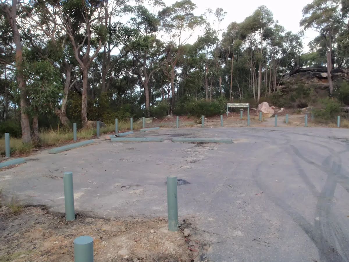
| Mode | Bus Car (There is free parking available.) Train |
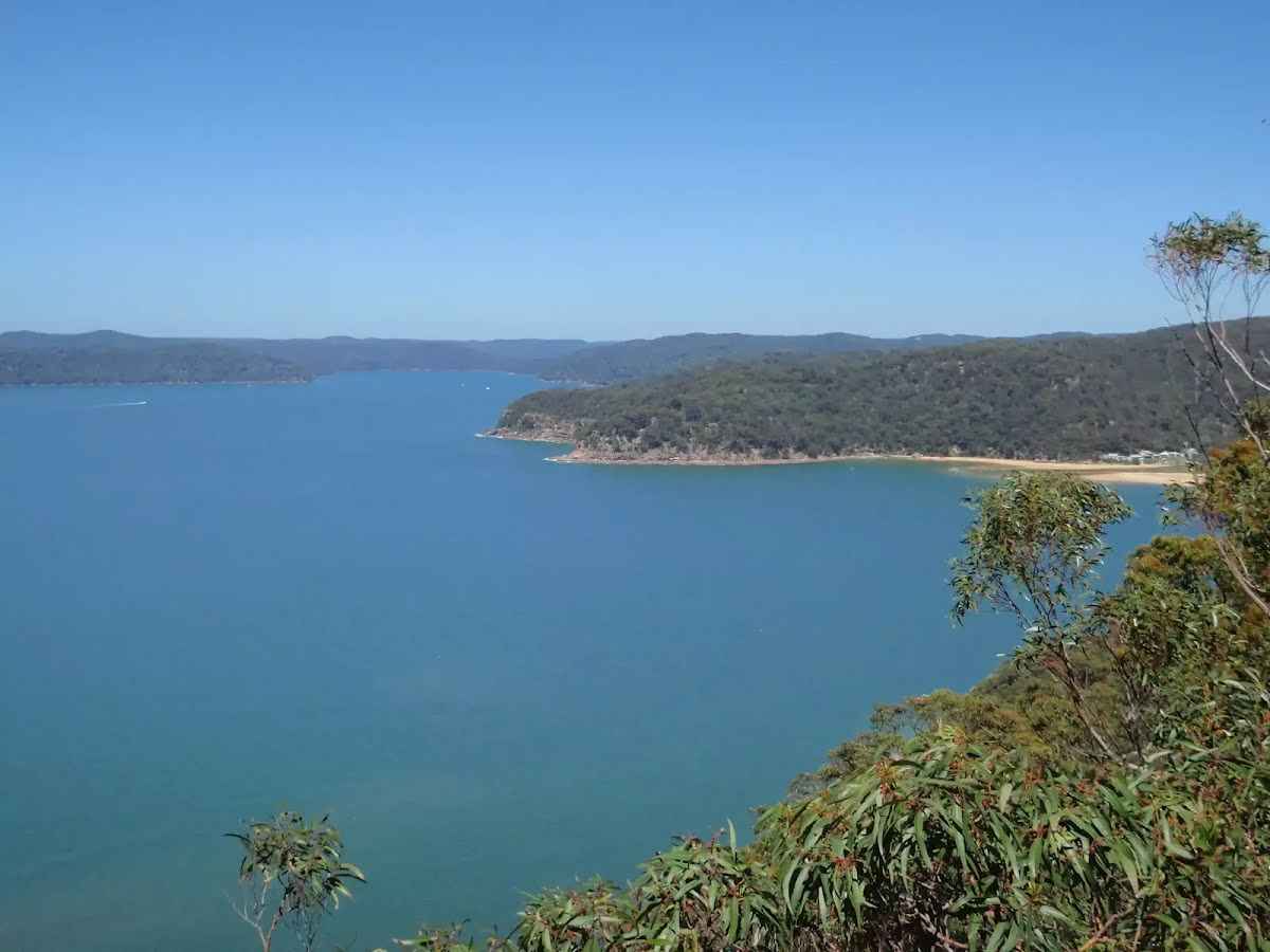
| Directions | From , Brooklyn. |
| Finish | (-33.4919895,151.2571288) |
| Mode (end) | Ferry Train |
| Turn map | Directions & comments |
|---|---|
 |
|
 |
|
 |
|
 |
|
 |
|
 |
|
 |
|
 |
|
 |
|
 |
|
 |
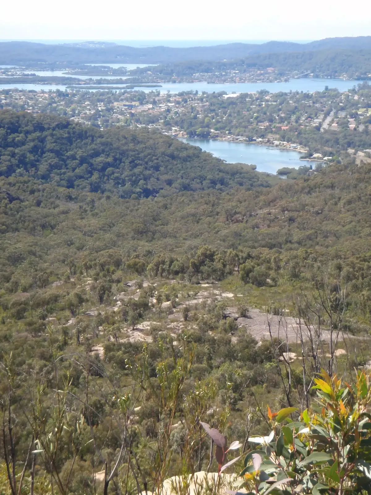
The starting point of an optional sidetrip. Side trip to Brooklyn Dam campsite. If you choose to walk this track over 3 days, you can spend your first night here. To start this optional side trip turn left here. On returning from this side trip continue straight when you get back to this intersection. Details below.
|
 |
|
 |
|
 |
|
 |
|
 |
|
 |
|
 |
|
 |
|
 |
|
 |
|
 |
At the intersection of Tony Doyle Track & Pearl Beach Patonga Firetrail turn left, to head along Tony Doyle Track (a footpath).
|
 |
|
 |
|
 |
|
 |
|
 |
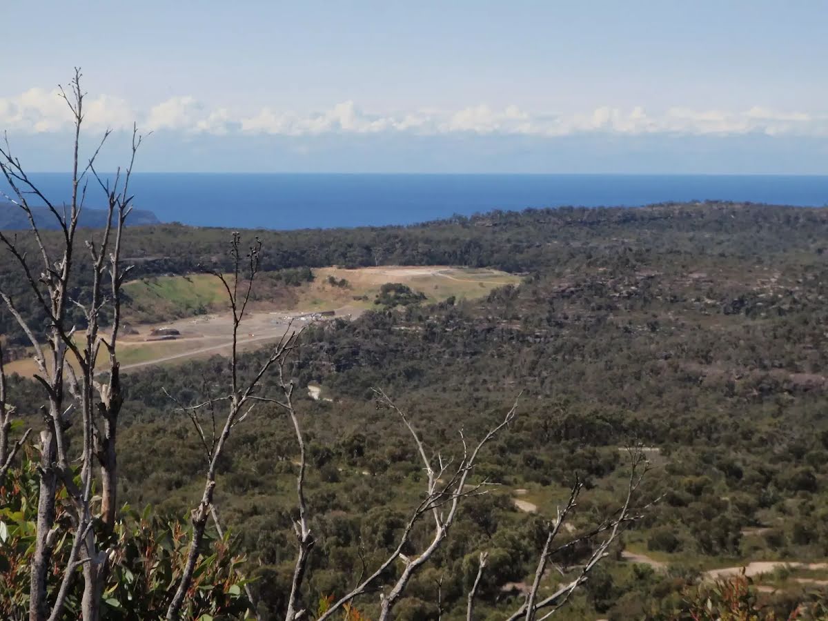
The starting point of an optional sidetrip. Side trip to Patonga Rest Area where you can spend the night. To start this optional side trip turn left here. On returning from this side trip turn sharp right when you get back to this intersection. Details below.
|
 |
|
 |
|
 |
|
 |
|
 |
|
 |
|
 |
|
 |
|
 |
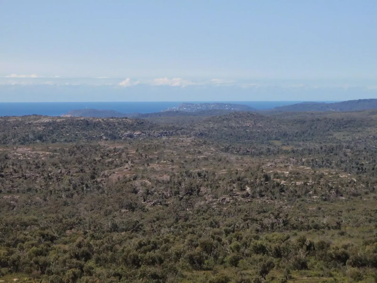
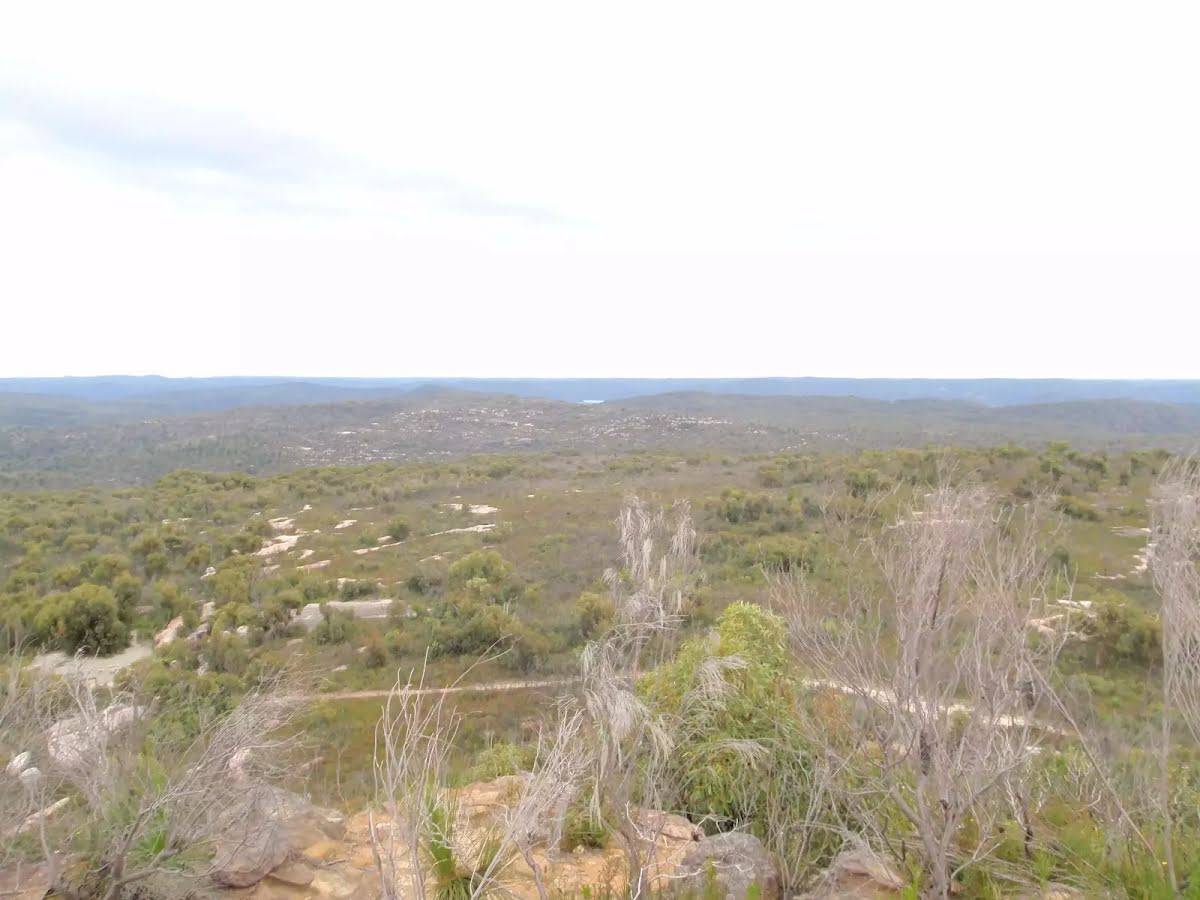
After another 470 m (at the intersection of Mount Wondabyne Trig Firetrail & Tunnel Trail) turn left, to head along Mount Wondabyne Trig Firetrail.
|
 |
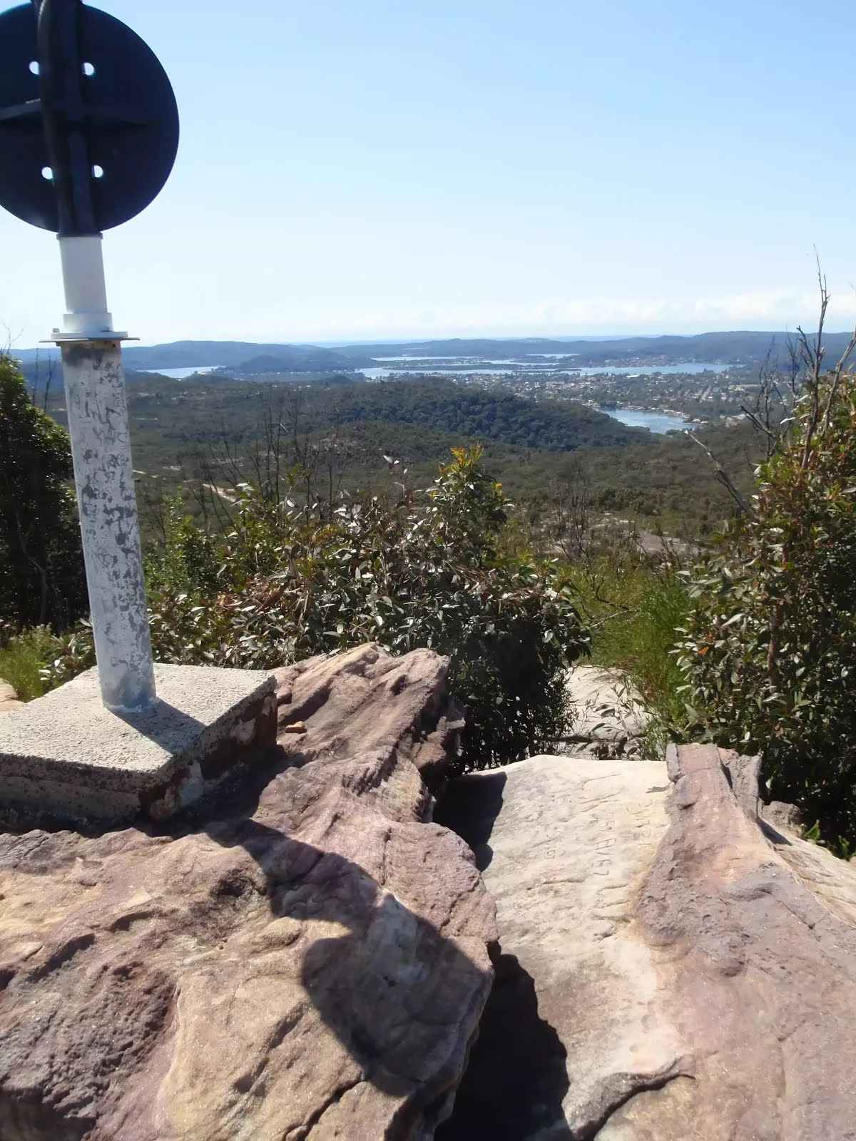
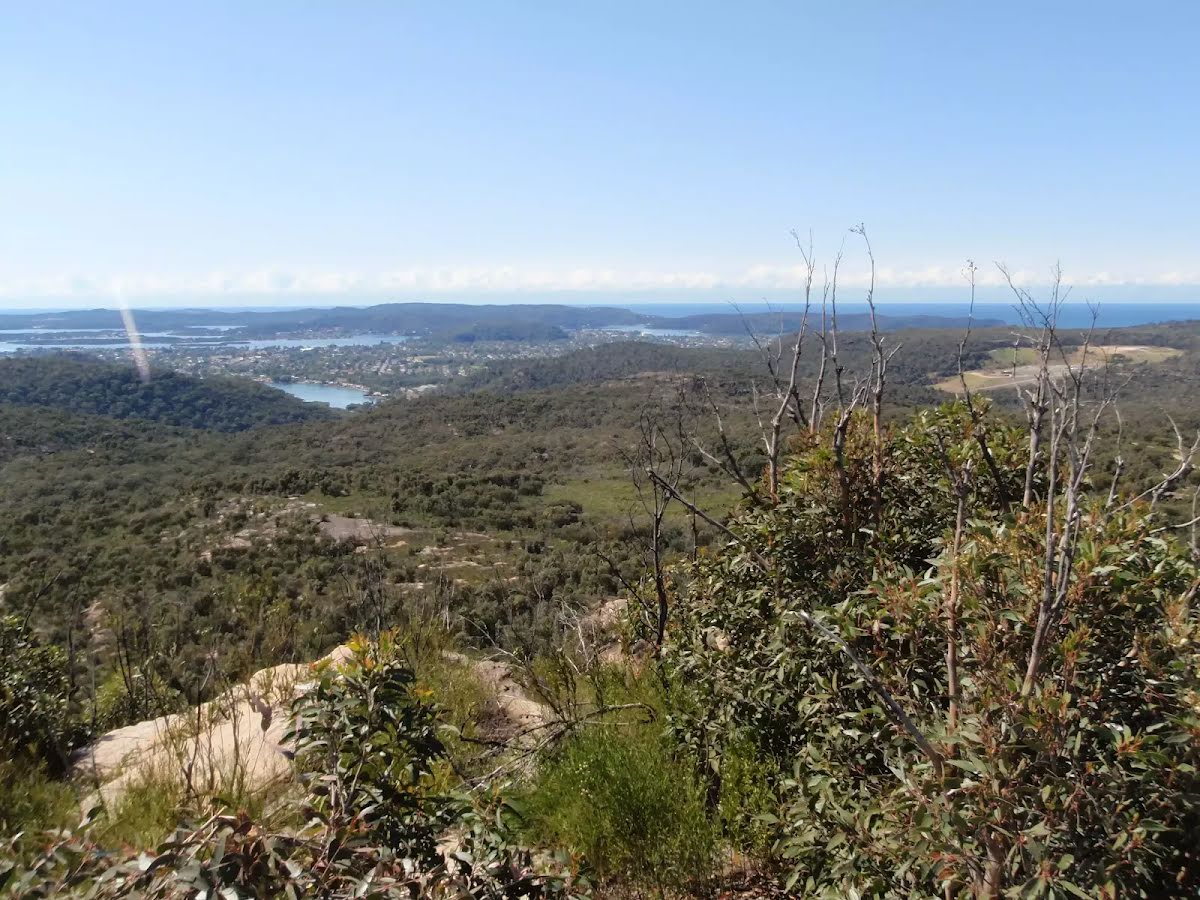
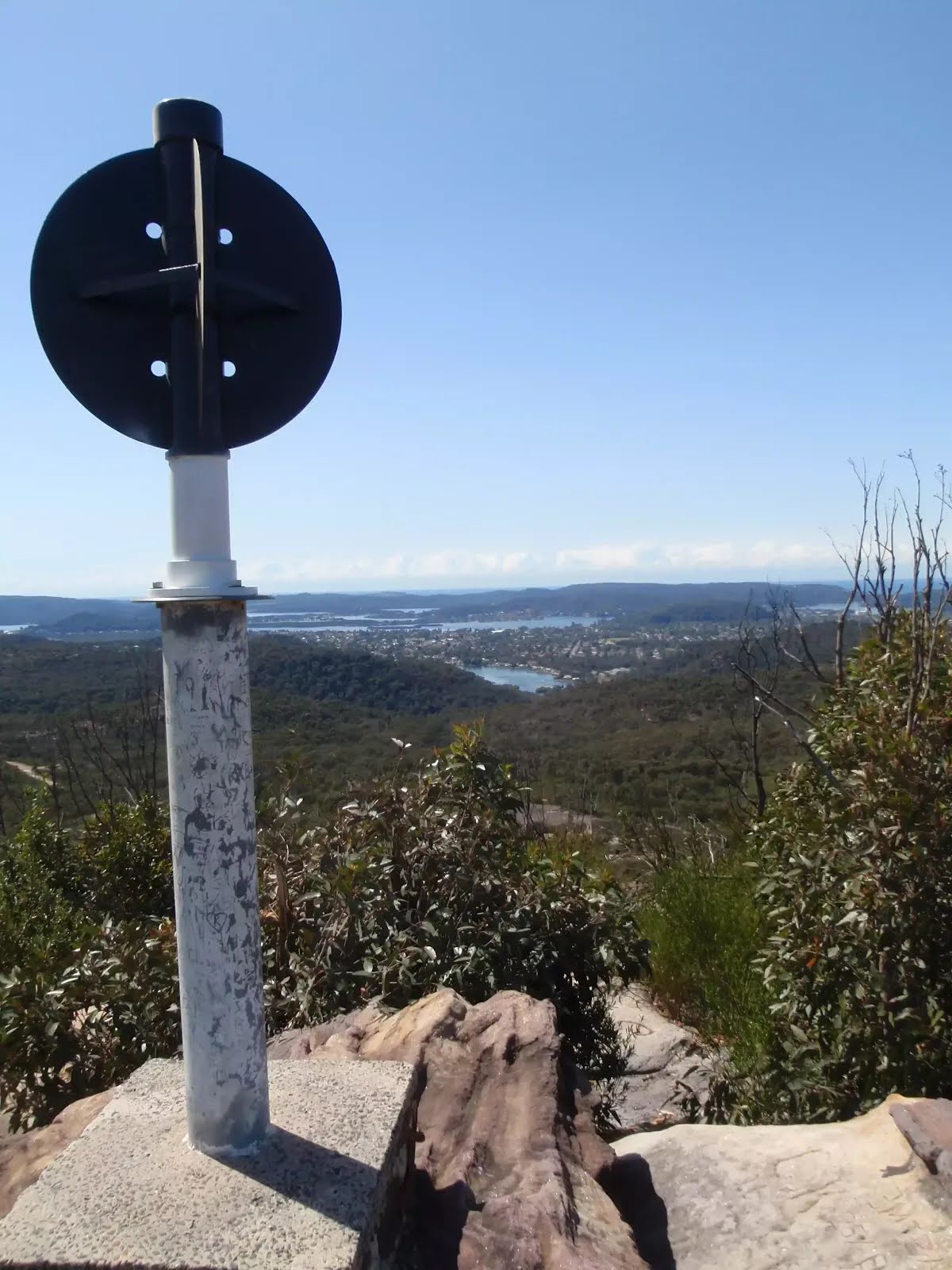
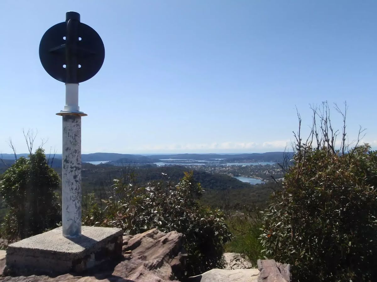
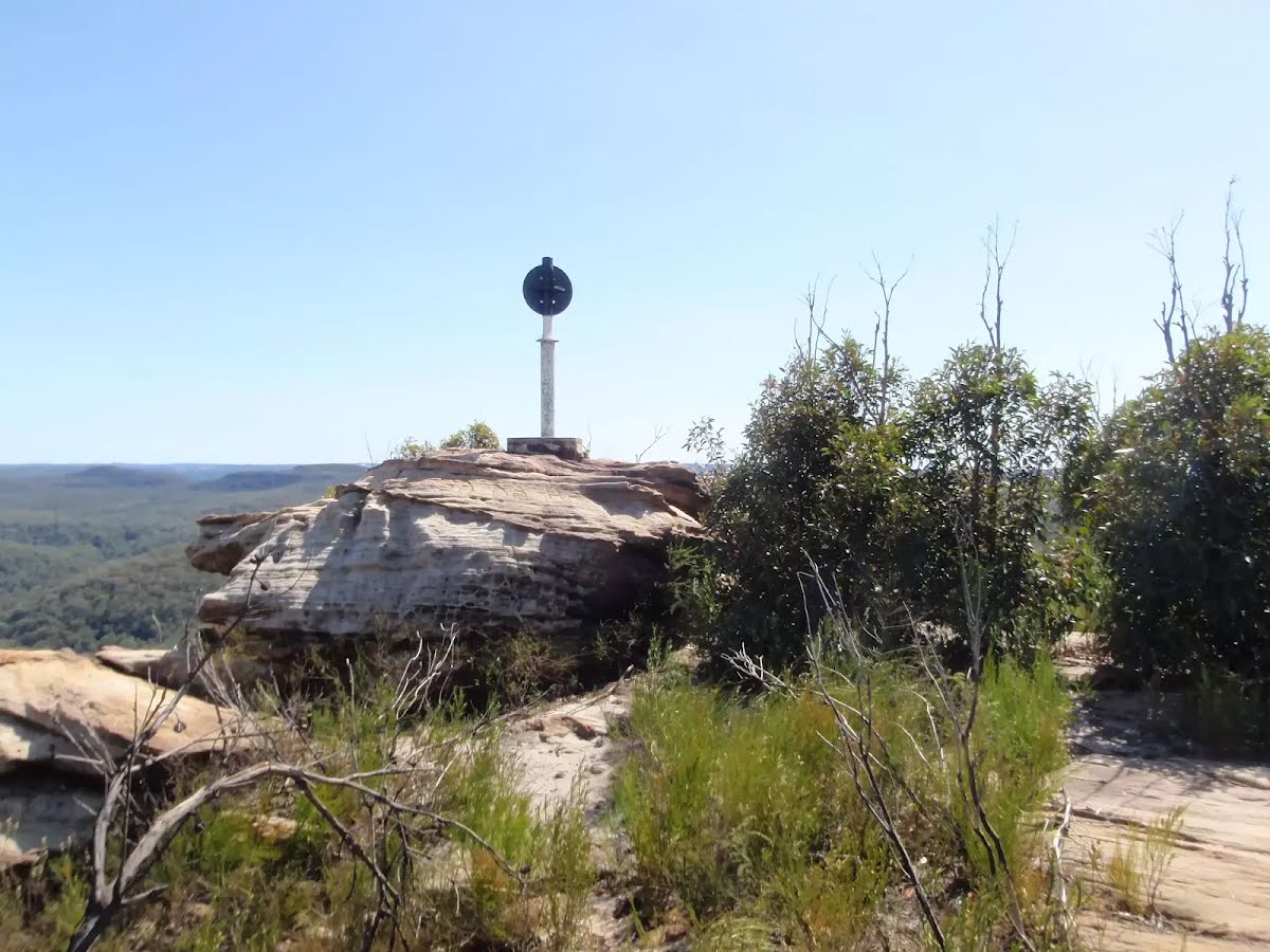
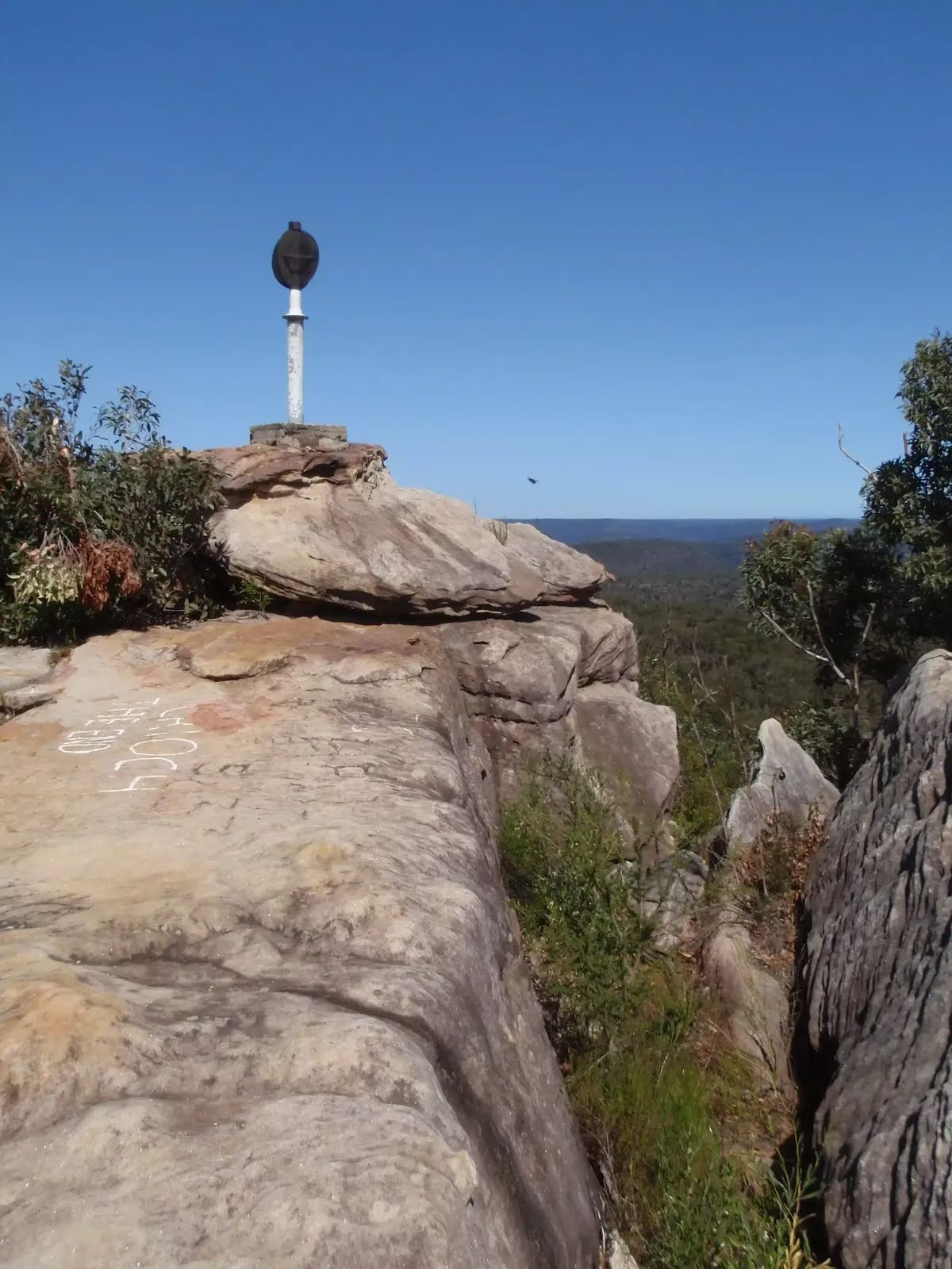
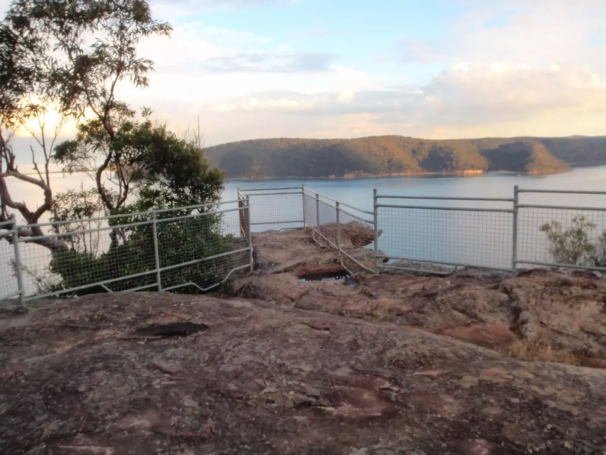
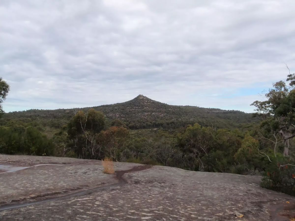
The starting point of an optional sidetrip. An optional side trip to Mt Wondabyne Peak. To start this optional side trip turn right here. On returning from this side trip turn right when you get back to this intersection. Details below.
|
 |
|
 |
|
 |
|
 |
|
 |
|
 |
|
 |
| Turn map | Directions & comments |
|---|---|
 |
|
 |

|
|
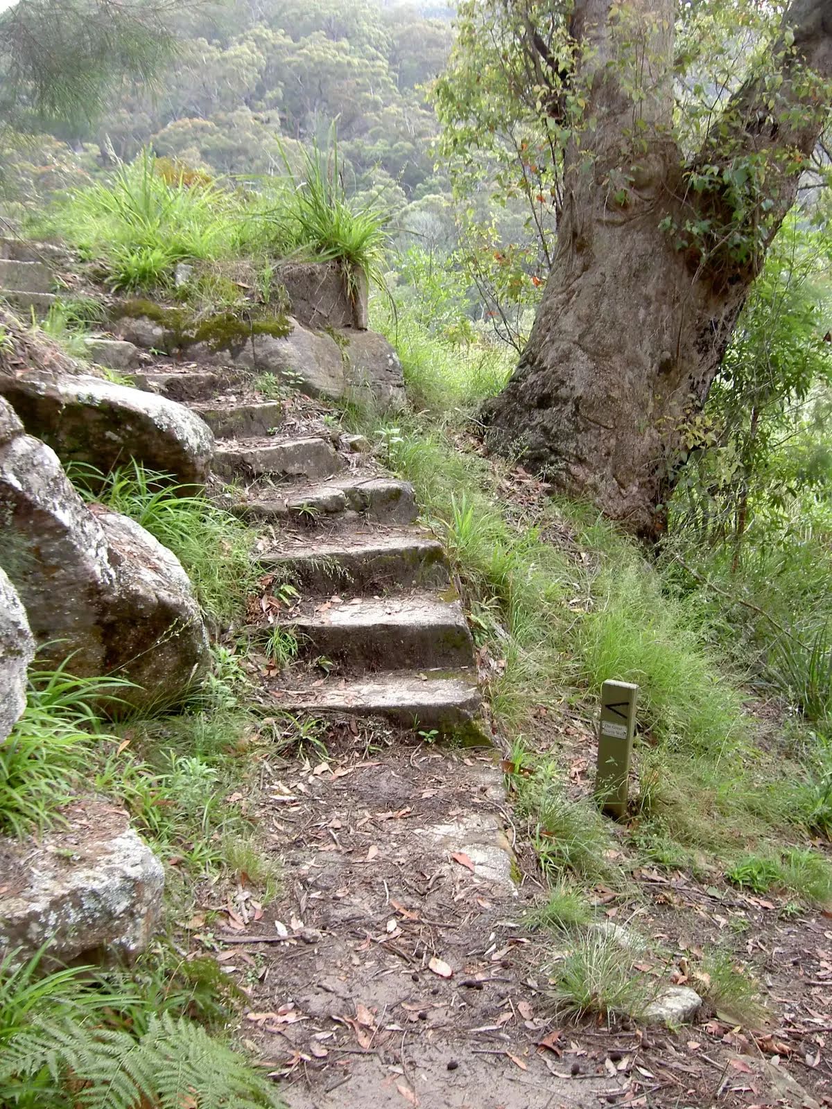
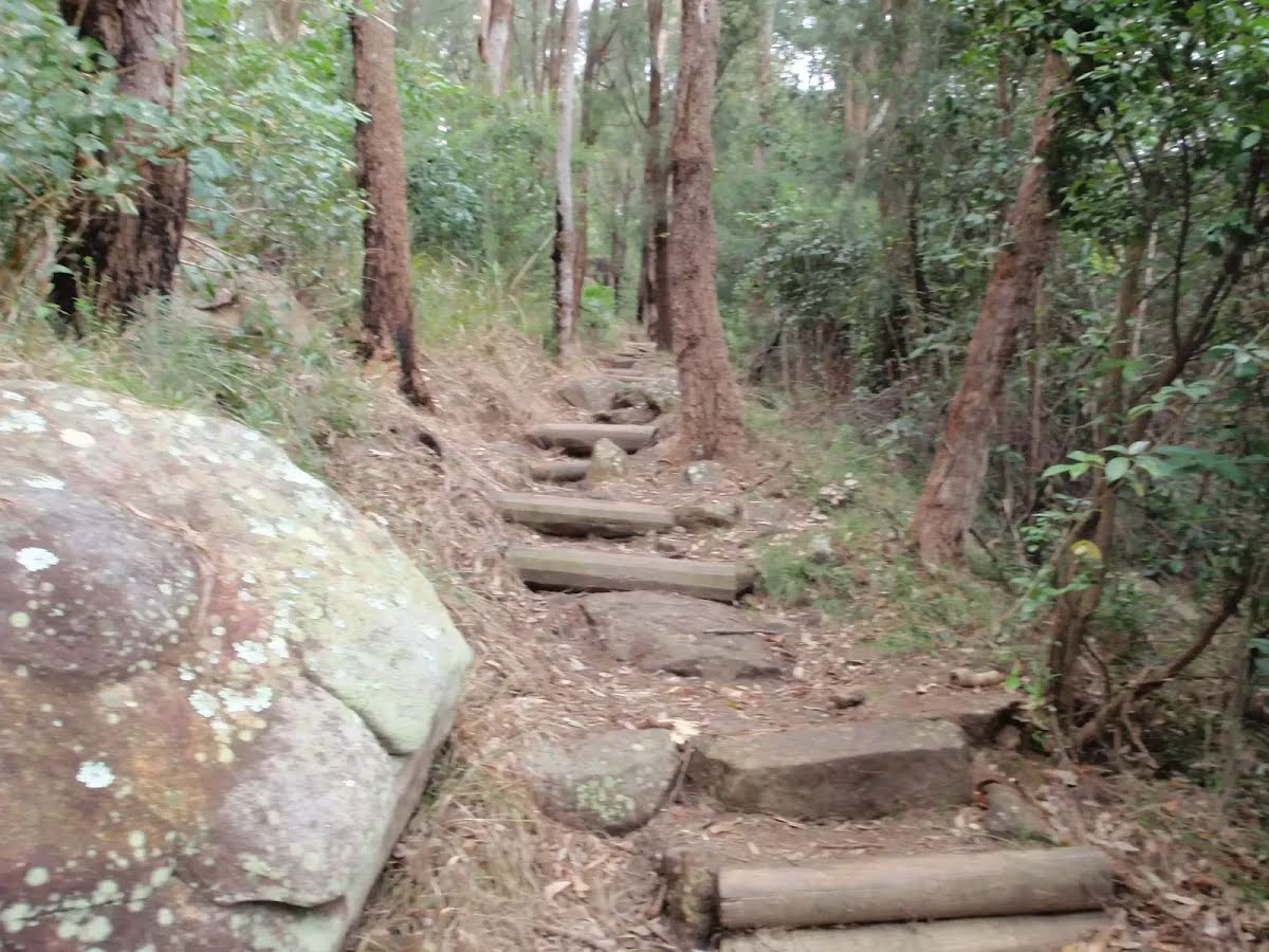
Class 4/6 Hard track |
|---|---|
| Length | 38.6 km |
| Time | 12 h to 2 days |
| Quality of track | Rough track, where fallen trees and other obstacles are likely (4/6) |
| Gradient | Very steep (4/6) |
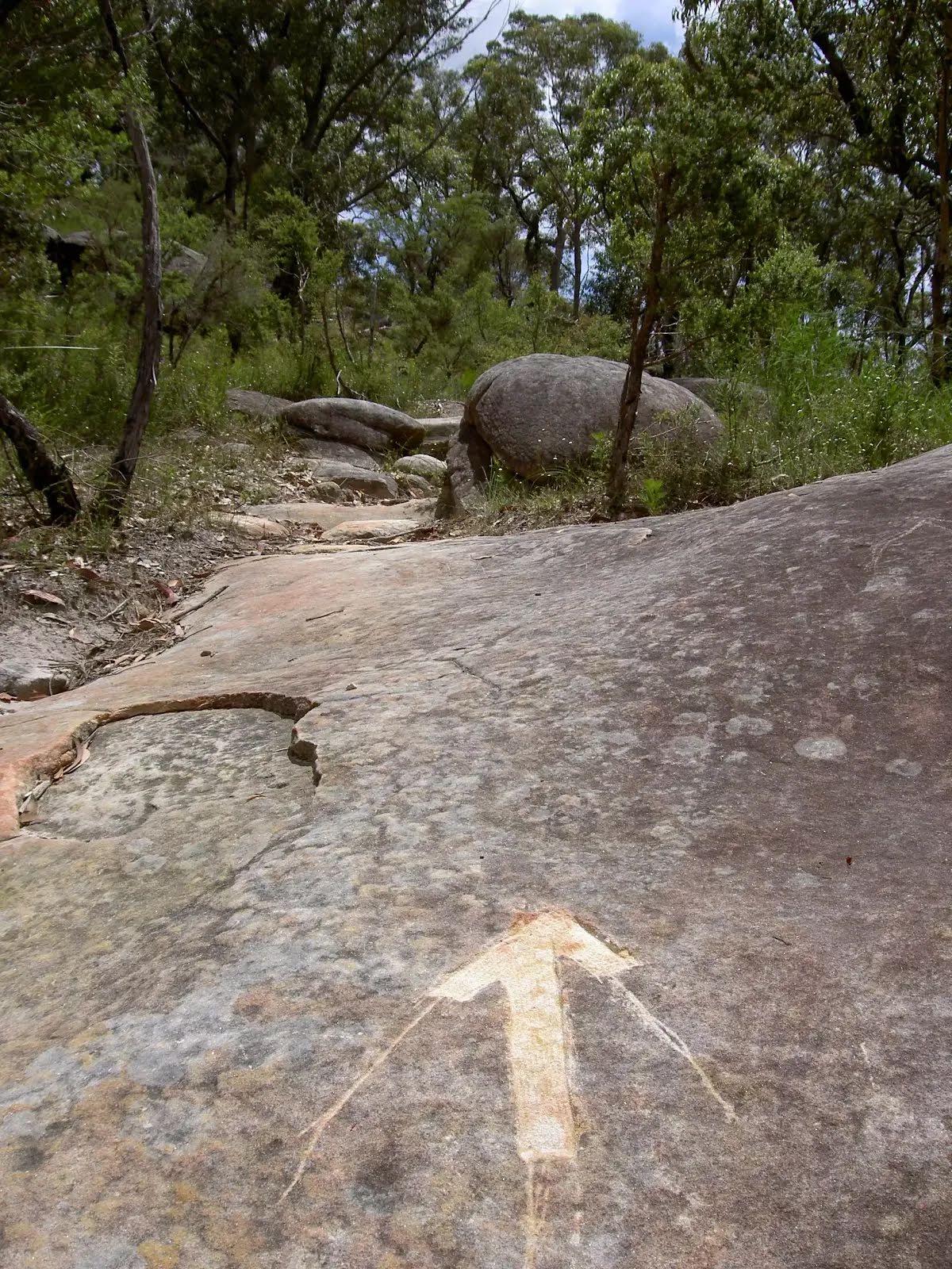
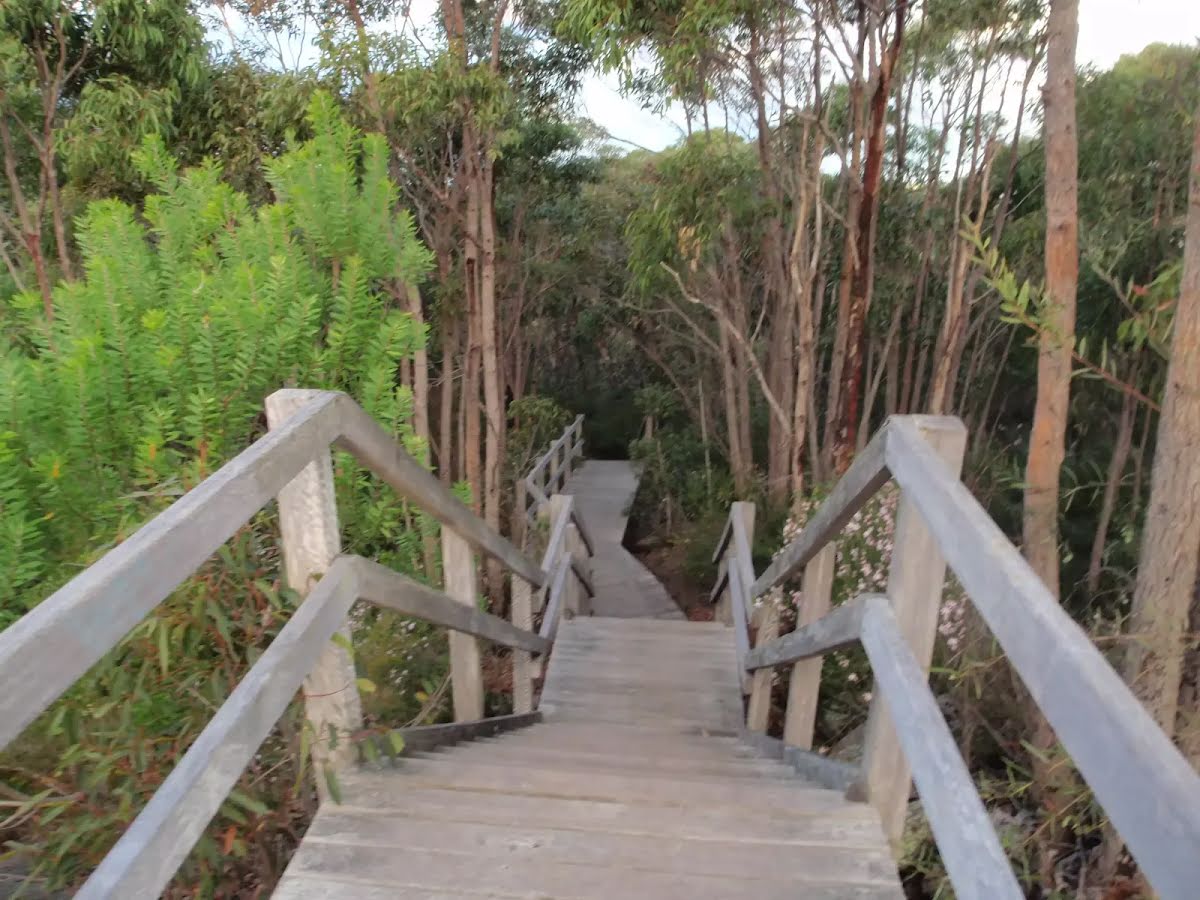
| Signage | Minimal directional signs (4/6) |
| Infrastructure | Limited facilities (such as cliffs not fenced, significant creeks not bridged) (4/6) |
| Experience Required | Some bushwalking experience recommended (3/6) |
| Weather | Storms may impact on navigation and safety (3/6) |
| Item | From Start | Name & link to notes |
|---|---|---|
Shelter
| 75 m | [shelter] |
Toilet
| 85 m | [toilet] |
Seat
| 2.9 km | [seat] |
Campsite
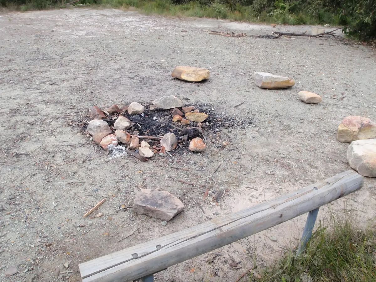
| 8.8 km | Small Campsite Brooklyn Dam |
Campsite
| 9.5 km | Large Campsite Brooklyn Dam |
Toilet
| 12.4 km | [toilet] |
Shelter
| 12.4 km | [shelter] |
Shelter
| 12.5 km | [shelter] |
Seat
| 12.5 km | [seat] |
Shelter
| 19.4 km | [shelter] |
Toilet
| 19.4 km | [toilet] |
Campsite
| 23 km + 205 m | Patonga rest area |
Campsite
| 30.4 km | Mt Wondabyne Campsite |
Seat
| 30.4 km | [seat] |
Toilet
| 30.4 km | [toilet] |
The following roads are accessible for 4WD only - they are damaged and not currently scheduled for upgrades: