| Turn map |
Directions & comments |
|
|

Start.

Then cross the bridge (about 20 m long)

Find the toilet at the start. This toilet is wheelchair accessible.

Find the Buds & Beans at the start.
Mo-Fr 06:00-18:00

Find the shelter at the start.

Find the water tap at the start.
 Continue straight
.

Then head down the 7 concrete steps (about 7 m long)
|
|
|

After another 2 m turn right.

After another 20 m pass the pay phone (on your right).
 Turn left
.

Then pass the "Gordon Railway Station" (15 m on your right).
|
|
|
After another 3 m (from the Wade Lane) continue straight.
After another 10 m pass the "Pure Brew" (on your right). This cafe is wheelchair accessible.
After another 20 m pass the "Pottery Green Bakers" (20 m on your left). This cafe is wheelchair accessible.
After another 20 m pass the "Domino's" (on your right).
After another 6 m pass the "Missing Spoon" (20 m on your left). This cafe is wheelchair accessible.
We-Fr 11:00-20:30
Sa 08:00-20:30
Su 08:00-16:00
Mo,Tu off
|
|
|
After another 2 m (from the Clipsham Lane) continue straight.
After another 40 m (from the Pacific Highway) continue straight.
|
|
|
After another 15 m turn right.
After another 35 m pass the "Pizza Hut" (5 m on your left).
After another 40 m continue straight.
|
|
|
After another 15 m (from the Moree Street) turn left, to head along Moree Street (a residential road).
After another 40 m pass the "Little Gem" (15 m on your right).
From the Moree Street continue straight, to head along Moree Street.
After another 25 m (from the Moree Street) continue straight, to head along Moree Street.
|
|
|
After another 245 m (at the intersection of Moree Street & Hanson Way) continue straight, to head along Moree Street.
|
|
|
After another 190 m (at the intersection of Moree Street & St Johns Walk) continue straight, to head along Moree Street.
|
|
|
After another 155 m (at the intersection of Vale Street & Moree Street) turn right, to head along Vale Street.
|
|
|
After another 85 m (at the intersection of Blackbutt Creek Track & Vale Street) turn left, to head along Blackbutt Creek Track (a vehicle track).

After another 55 m head through/around the gate.
|
|
|

After another 380 m cross the ford.
At the intersection of Blackbutt Creek Track & Amaroo Gully continue straight, to head along Blackbutt Creek Track.
After another 25 m (from the Blackbutt Creek Track) continue straight, to head along Blackbutt Creek Track.
After another 270 m pass the sign (on your right).
|
|
|
From the Blackbutt Creek Track continue straight, to head along Blackbutt Creek Track.
Then pass the "< St John's Avenue Kiparra Street >" (on your left).
|
|
|
After another 1 km (from the Blackbutt Creek Track) turn right, to head along Blackbutt Creek Track.
After another 9 m cross the ford.
At the intersection of Blackbutt Creek Track & Falls Creek continue straight, to head along Blackbutt Creek Track.
After another 110 m head through/around the gate.
|
|
|
At the intersection of Lady Game Drive & Blackbutt Creek Track turn left, to head along Lady Game Drive (a highway|tertiary).
|
|
|
After another 350 m (at the intersection of De Burgh Road & Lady Game Drive) turn right, to head along De Burgh Road (a residential road).
After another 10 m (from the De Burgh Road) continue straight, to head along De Burgh Road.
|
|
|
After another 240 m (at the intersection of Beaumont Road & De Burgh Road) turn right, to head along Beaumont Road.
|
|
|
After another 105 m (at the intersection of Manning Road & Beaumont Road) turn left, to head along Manning Road.
|
|
|
After another 370 m (at the intersection of Terrace Road & Manning Road) turn right, to head along Terrace Road.
After another 180 m find the "Allen Park".
|
|
|
From the Blaxland Road turn left (a walking track).
After another 170 m pass the sign (about 7 m ahead).
|
|
|
From the The Great North Walk turn left, to head along The Great North Walk.
Then head down the 5 steps (about 2 m long)
|
|
|
After another 275 m cross the ford.
From the The Great North Walk continue straight, to head along The Great North Walk.
|
|
|
After another 135 m (from the The Great North Walk) continue straight, to head along The Great North Walk.

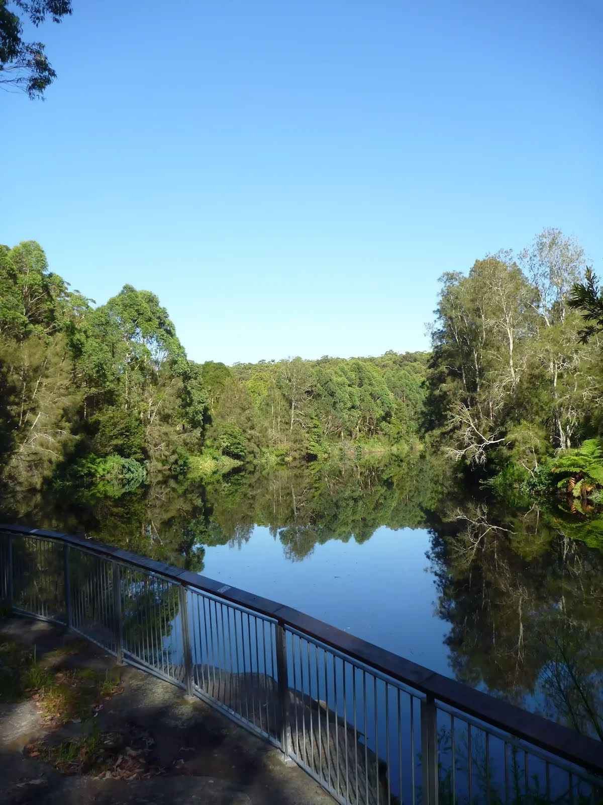
After another 65 m come to the viewpoint.
After another 65 m cross the bridge (about 4 m long)
After another 450 m come to the viewpoint.
After another 640 m head down the 11 steps (about 8 m long)
After another 8 m cross the bridge (about 15 m long)
After another 115 m cross the bridge (about 5 m long)
After another 10 m cross the bridge (about 3 m long)

After another 6 m pass the BBQ (35 m on your left).
After another 25 m cross the bridge (about 7 m long)
After another 145 m pass the sign (on your left).
|
|
|
From the The Great North Walk continue straight, to head along The Great North Walk.
After another 40 m cross the bridge (about 8 m long)

Then head up the 26 steps (about 20 m long)
After another 55 m head up the 7 stone steps (about 3 m long)
Then cross the bridge
|
|
|
After another 195 m cross the ford.
From the The Great North Walk continue straight, to head along The Great North Walk.
After another 150 m cross the bridge (about 5 m long)
|
|
|
After another 320 m (from the The Great North Walk) continue straight.
After another 155 m come to the viewpoint (7 m on your right).
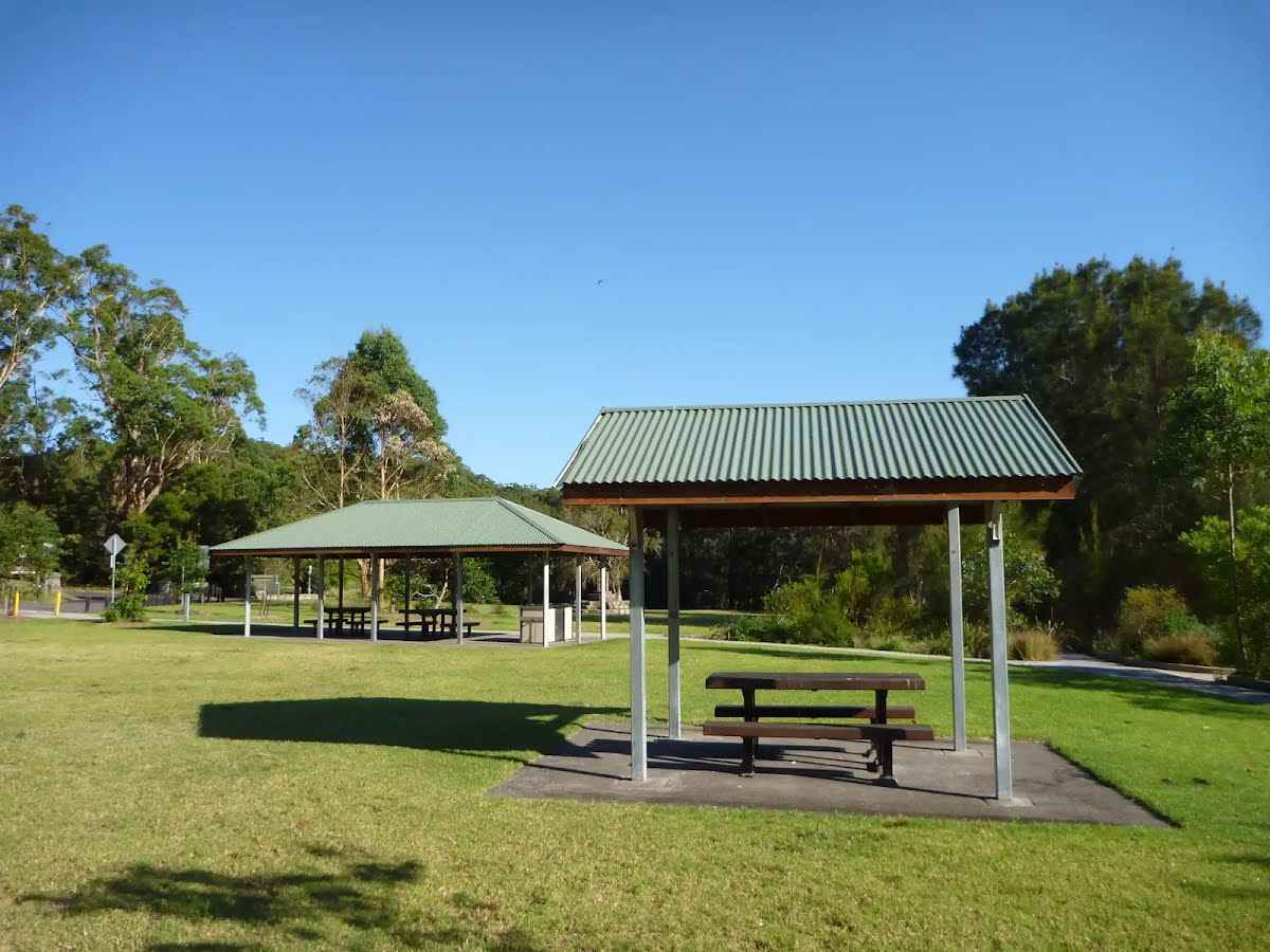
After another 170 m pass the shelter (25 m on your right).

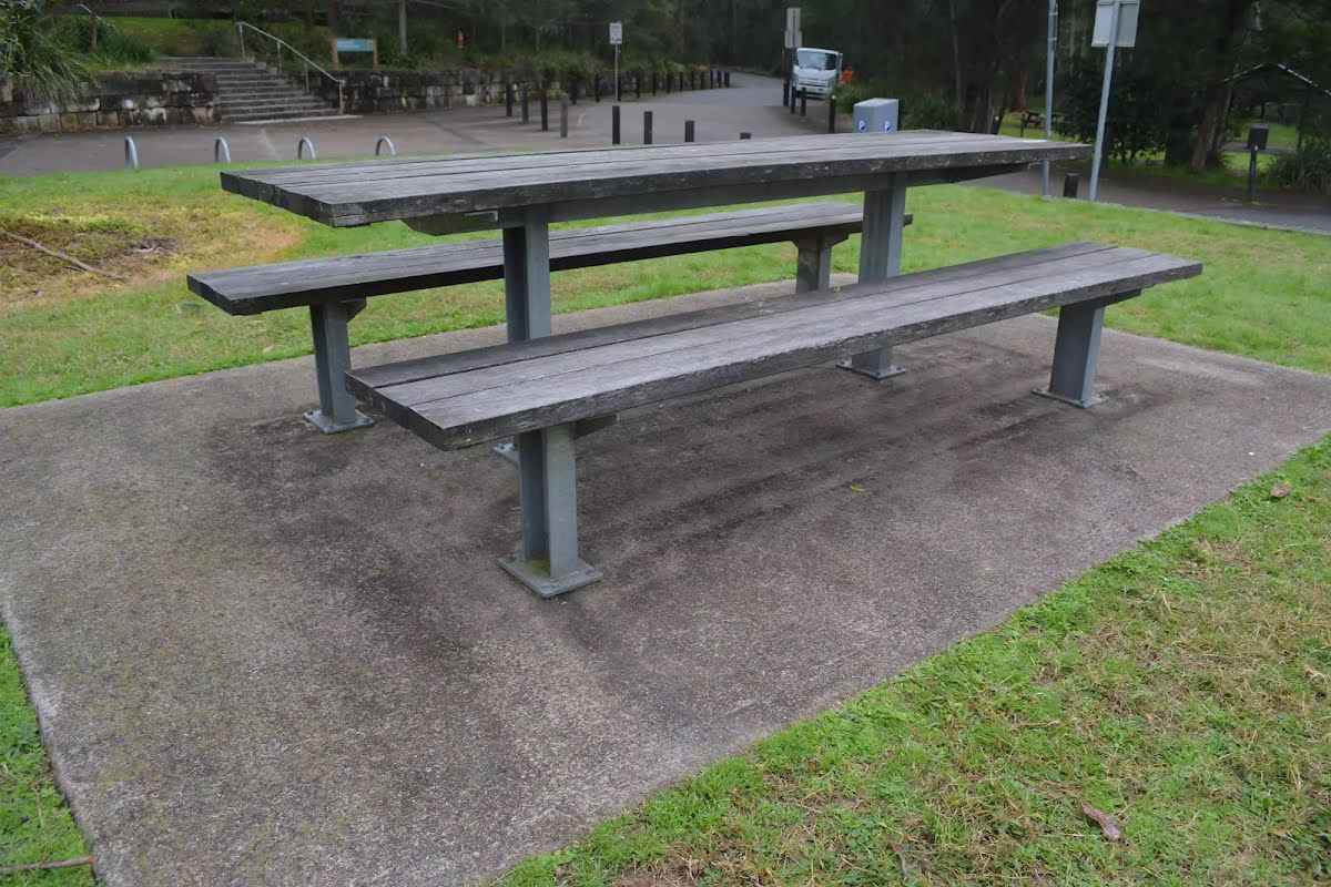
After another 90 m pass the picnic table (8 m on your right).
|
|
|
From the Max Allen Road continue straight, to head along Max Allen Road.
After another 20 m pass the "02" (10 m on your right).
After another 25 m pass the "Haynes Flat" (25 m on your left).
After another 30 m (from the Max Allen Road) continue straight, to head along Max Allen Road.
After another 40 m pass the "02" (15 m on your right).

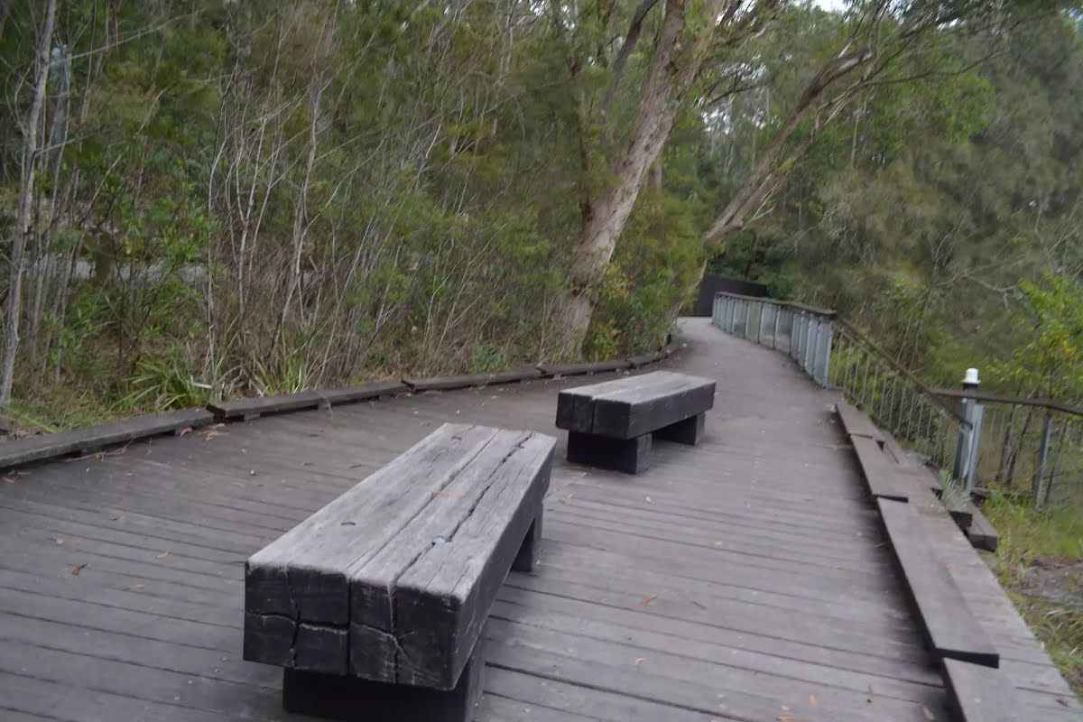
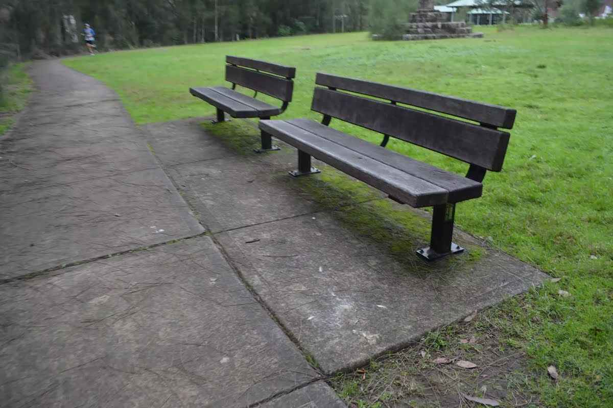
After another 45 m pass a seat (10 m on your right).
Then pass the shelter (4 m on your right).
Then pass the BBQ (15 m on your right).
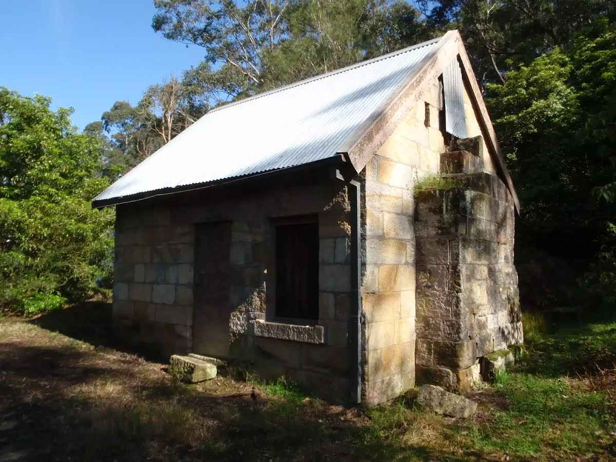
After another 115 m find the "Schwartz Homestead" (15 m on your left).
|
|
|
At the intersection of Max Allen Road & Lane Cove Depot Road continue straight, to head along Max Allen Road.
After another 25 m pass the "01" (on your right).

After another 9 m (from the Max Allen Road) veer left, to head along Max Allen Road.
Then pass the BBQ (30 m on your right).
After another 15 m pass the "Gable Large" (40 m on your right).
After another 5 m pass the "Max Allen Dr" (20 m on your left).
After another 60 m pass the "04" (15 m on your right).
After another 60 m pass a seat (6 m on your right).
After another 120 m find the "Baker's Cottage" (45 m on your left).
Then pass the "02" (10 m on your right).
After another 50 m pass the shelter (15 m on your right).
After another 15 m pass the BBQ (8 m on your right).
|
|
|
The starting point of an optional sidetrip. An optional side trip to Baker's Cottage. To start this optional side trip turn sharp left here. On returning from this side trip turn right when you get back to this intersection. Details below.
After another 20 m (from the Max Allen Road) continue straight, to head along Max Allen Road.
After another 15 m (from the Max Allen Road) continue straight, to head along Max Allen Road.
After another 8 m pass the toilet (20 m on your left).
After another 6 m pass the "03" (on your left).
After another 35 m pass the "01" (10 m on your right).

After another 125 m pass the car park (4 m on your right).
|
|
|

After another 140 m (from the Max Allen Road) veer right (a footpath).
After another 130 m pass the "Jenkins Hill" (15 m on your left).

After another 6 m pass the "Kukundi" (60 m on your left).
After another 15 m pass the "02" (on your left).
After another 7 m pass the "Cubby House Kukundi" (60 m on your left).
|
|
|
Continue straight.
After another 35 m pass the "Shade Sail" (40 m on your left).
After another 15 m pass the "Jenkins Kitchen" (65 m on your left).
After another 15 m pass a seat (8 m on your left).
Then pass the cafe (45 m on your left). This cafe is wheelchair accessible.
Mo off
Tu-Fr 10:00-15:00
Sa-Su,PH 09:30-16:00
|
|
|
Turn right.
After another 20 m find the "Picnic Table" (25 m on your left).
After another 30 m pass a seat (10 m on your left).
Continue straight.
Then find the "BBQ" (50 m on your left).
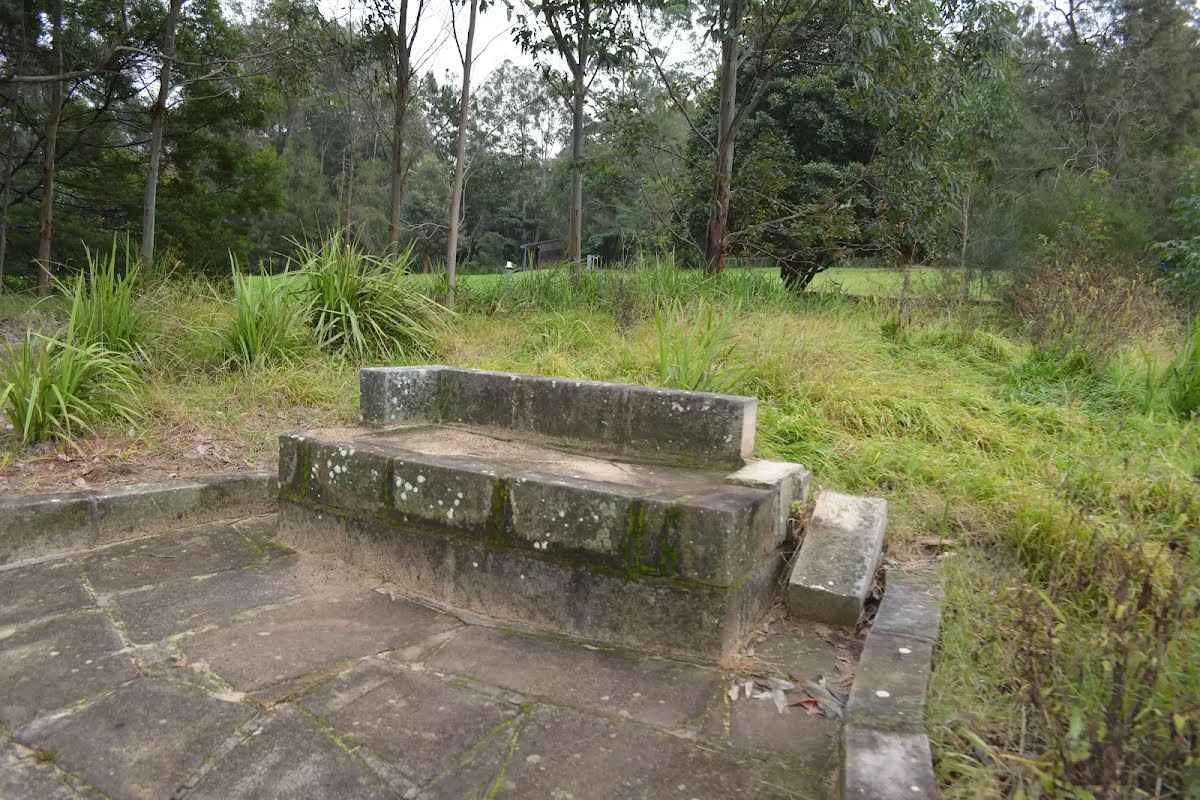
Then find the "Seat" (7 m on your right).
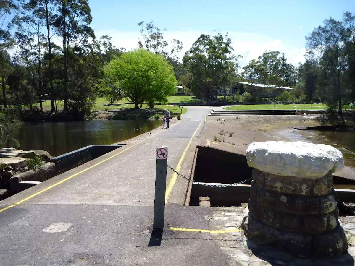
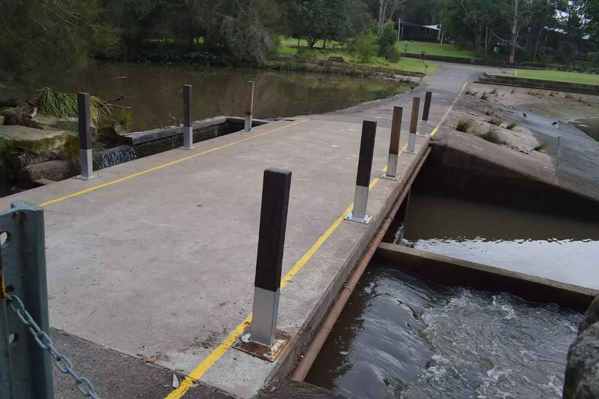
After another 50 m find the "Lane Cove Weir" (on your right).
After another 20 m find the "Lane Cove River Lookout" (45 m on your right).
Then cross the bridge (about 10 m long)
Then find the "Seat" (45 m on your right).
After another 15 m pass the "Koonjeree Rotunda" (35 m on your right).
|
|
|
Turn left.

After another 10 m find the "Trip Hazard" (on your left).
After another 15 m find the "Seat" (on your left).
|
|
|
After another 55 m veer right.
After another 20 m find the "Koonjeree Picnic Area" (6 m on your left).
After another 3 m continue straight.
After another 10 m pass the BBQ (on your left).
Then pass the shelter (on your left).
|
|
|
After another 10 m (from the Riverside Drive) turn left, to head along Riverside Drive (a vehicle track).
After another 20 m pass the "Koonjeree Mens" (10 m on your right). This toilet is male and female.
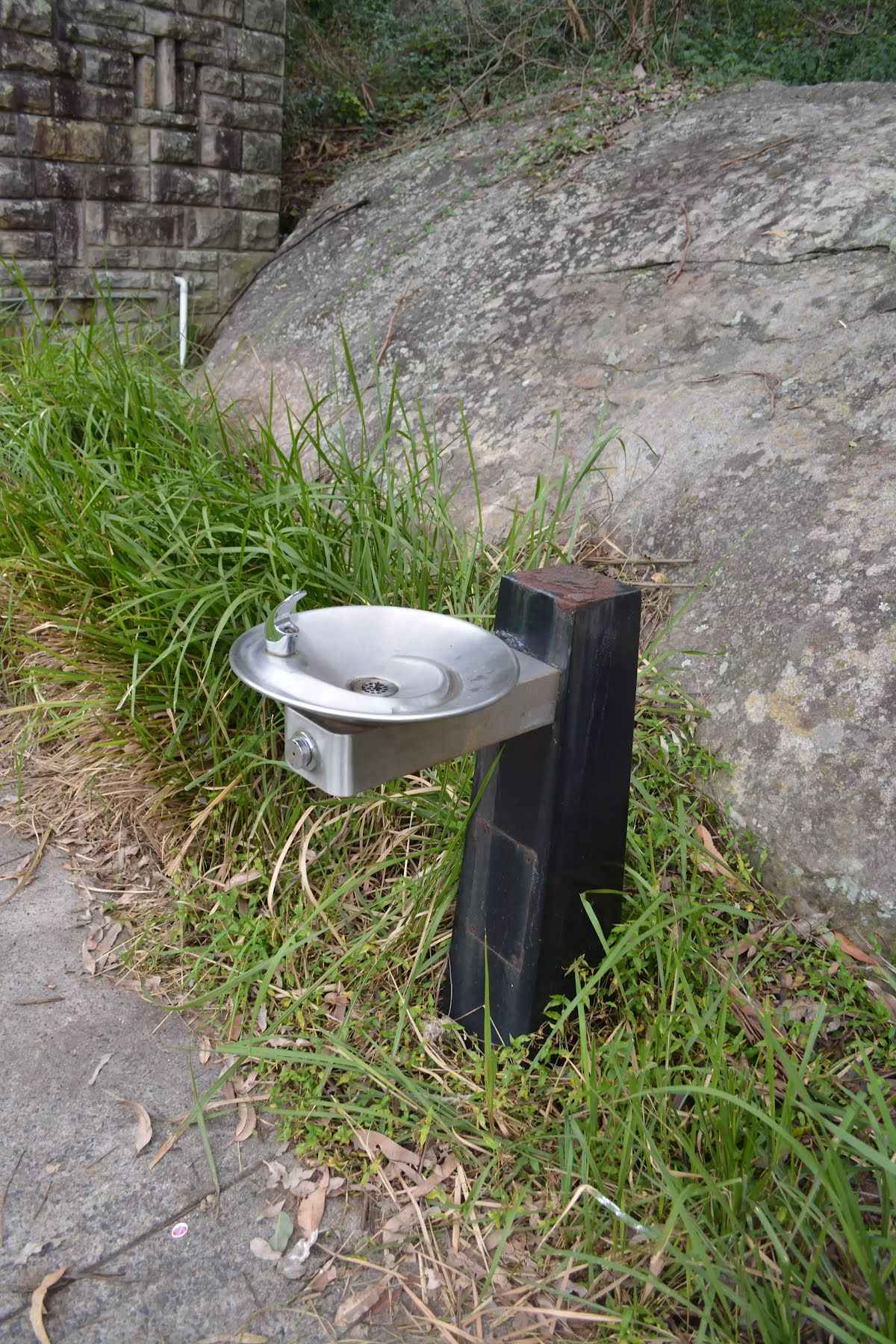
After another 6 m find the "Potable Water" (10 m on your right).
After another 20 m pass the car park (8 m on your right).
Then pass the "Koonjeree Womens" (10 m on your right). This toilet is male and female.
From the Riverside Drive continue straight, to head along Riverside Drive.
After another 50 m pass a seat (15 m on your right)., has no backrest.
After another 7 m pass the shelter (25 m on your left).
|
|
|
After another 6 m (from the Riverside Drive) continue straight, to head along Riverside Drive.
After another 30 m pass the "Alfred Cook Park" (about 25 m ahead).
At the intersection of Delhi Road & Riverside Drive veer left, to head along Delhi Road (a highway|primary).
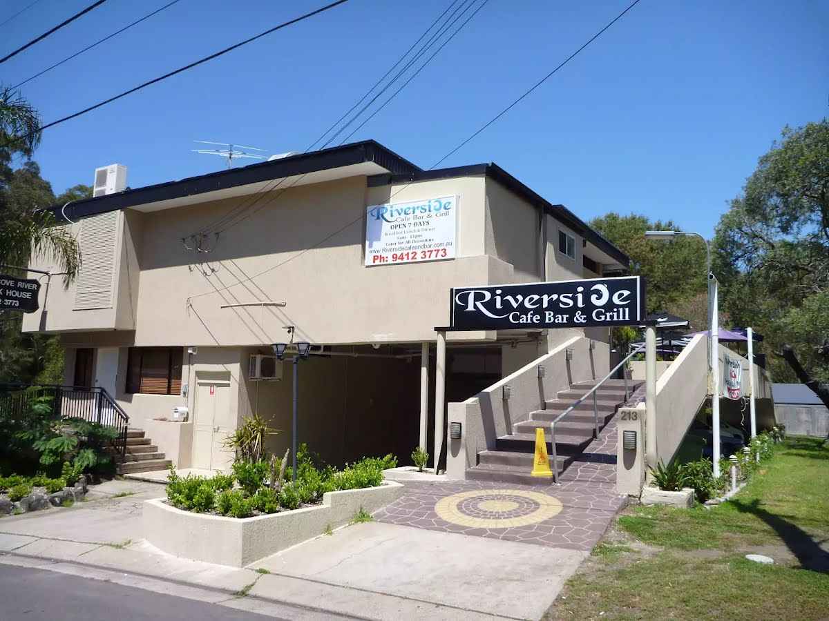
After another 30 m find the "Riverside Cafe Bar & Grill" (35 m on your right).
Then cross the Fullers Bridge (about 70 m long)
|
|
|
After another 15 m (at the intersection of Fullers Road & Delhi Road) turn right, to head along Fullers Road (a residential road).

After another 20 m (from the Fullers Road) turn sharp right (a walking track).
|
|
|
After another 10 m (from the Rail to River Walk) veer left, to head along Rail to River Walk.
After another 25 m (from the Rail to River Walk) veer left, to head along Rail to River Walk.
After another 110 m pass a seat (4 m on your left)., has a backrest.
|
|
|
After another 45 m (from the Rail to River Walk) turn left, to head along Rail to River Walk.
After another 9 m pass the "Railway to River Walk" (on your right).
After another 40 m (at the intersection of Reid Drive & Rail to River Walk) continue straight, to head along Reid Drive (a residential road).
After another 30 m pass the water tap (35 m on your right).
|
|
|
After another 165 m (at the intersection of Reid Drive & The Fairway) continue straight, to head along Reid Drive.
After another 130 m head through/around the gate.
After another 55 m pass the water tap (45 m on your right).
Then pass the BBQ (45 m on your right).
Then pass the shelter (50 m on your right).
Then pass a seat (15 m on your right)., has a backrest.
|
|
|
At the intersection of Ferndale Park Loop & Reid Drive continue straight, to head along Ferndale Park Loop (a footpath).
After another 7 m pass the playground (20 m on your right).

Then pass the artwork (30 m on your right).
Then pass the BBQ (40 m on your right).
After another 25 m pass the toilet (75 m on your left).
|
|
|
After another 80 m (at the intersection of Ferndale Park Loop & Ferndale Walk Track) veer left (a walking track).
|
|
|
After another 180 m (from the Hawthorne Avenue) turn right (a footpath).
|
|
|
After another 490 m turn right.
After another 80 m continue straight.
|
|
|
After another 50 m continue straight.
After another 40 m continue straight.
|
|
|
After another 40 m turn right.
After another 7 m head through/around the gate.
After another 30 m pass a seat (on your right)., has a backrest.
After another 20 m pass the picnic table (on your right).
Continue straight.
After another 20 m pass the picnic table (15 m on your right).
After another 10 m pass the playground (9 m on your left).
Then pass the water tap (on your right).
|
|
|
Continue straight.
Then pass the toilet (10 m on your right).
Then pass the BBQ (on your left).
After another 30 m head through/around the gate.
|
|
|
Continue straight.
After another 5 m (from the Greville Street) turn right, to head along Greville Street (a residential road).
After another 50 m (at the intersection of Greville Street & Wilfred Avenue) continue straight, to head along Greville Street.
|
|
|
After another 35 m (from the Greville Street) continue straight, to head along Greville Street.
After another 50 m (at the intersection of Greville Street & Wilfred Avenue) continue straight, to head along Greville Street.
After another 20 m (from the Greville Street) continue straight, to head along Greville Street.
|
|
|
After another 15 m (at the intersection of Ferndale Park Loop & Harnett Place) continue straight, to head along Ferndale Park Loop (a walking track).
|
|
|
After another 115 m (at the intersection of Ferndale Walk Track & Ferndale Park Loop) turn left, to head along Ferndale Walk Track.
Then pass the sign (on your right).
|
|
|
After another 60 m (from the Ferndale Walk Track) continue straight, to head along Ferndale Walk Track.
After another 15 m pass the sign (on your right).
|
|
|
After another 45 m (from the Ferndale Walk Track) continue straight, to head along Ferndale Walk Track.
|
|
|
After another 140 m (from the Ferndale Walk Track) continue straight, to head along Ferndale Walk Track.
After another 35 m (from the Ferndale Walk Track) continue straight, to head along Ferndale Walk Track.
Then pass the sign (5 m on your right).
|
|
|

After another 60 m cross the stepping stones.
At the intersection of Ferndale Walk Track & Swains Creek continue straight, to head along Ferndale Walk Track.
After another 50 m pass a seat (20 m on your right).
Then pass the sign (on your left).
After another 80 m head through/around the gate.
|
|
|
From the Ferndale Walk Track continue straight, to head along Ferndale Walk Track.
Then pass the sign (on your right).
After another 4 m (at the intersection of Park Avenue & Ferndale Walk Track) turn left, to head along Park Avenue (a residential road).
|
|
|
After another 40 m (from the Park Avenue) turn right (a walking track).
After another 15 m pass the sign (on your left).
Continue straight.
After another 200 m pass the toilet (50 m on your left).
Then pass the water tap (30 m on your left).
After another 95 m pass a seat (on your left)., has a backrest.
Continue straight.
After another 130 m pass a seat (6 m on your right)., has a backrest.
Then pass the picnic table (6 m on your left).
Then pass the shelter (5 m on your left).
After another 15 m head through/around the gate.
|
|
|
Turn right.
After another 3 m (from the Eldora Lane) turn left, to head along Eldora Lane (a service road).
After another 9 m (at the intersection of Edgar Street & Eldora Lane) turn right, to head along Edgar Street (a residential road).
|
|
|
After another 25 m (at the intersection of Western Way & Edgar Street) turn left, to head along Western Way (a service road).
After another 9 m (from the Western Way) continue straight, to head along Western Way.
|
|
|
After another 80 m (from the Western Way) continue straight, to head along Western Way.
After another 8 m (at the intersection of Jenkins Street & Western Way) turn right, to head along Jenkins Street (a residential road).
|
|
|
After another 45 m (at the intersection of Western Way & Jenkins Street) turn left, to head along Western Way (a service road).
After another 9 m (from the Western Way) continue straight, to head along Western Way.
|
|
|
After another 75 m (at the intersection of Western Way & James Street) continue straight, to head along Western Way (a steps).
Then head up the 17 concrete steps (about 10 m long)
At the intersection of James Street & Western Way continue straight (a footpath).
After another 25 m pass the picnic table (5 m on your right).
After another 15 m pass the playground (10 m on your right).
After another 25 m pass the sign (on your left).
After another 7 m pass a seat (on your left)., has a backrest.
|
|
|
After another 8 m continue straight.
After another 5 m pass the picnic table (5 m on your right)., has no backrest.
Continue straight.
|
|
|
After another 7 m turn right.
|
|
|
After another 30 m turn left.
After another 15 m (from the Pacific Highway) continue straight.
After another 25 m pass the "Salvage Specialty Coffee" (9 m on your left). This cafe is wheelchair accessible.
Mo-Su 07:00-14:30
Then pass the "Citadel" (25 m on your right). This cafe is wheelchair accessible.
Mo-Fr 06:30-15:30
|
|
|
After another 65 m continue straight.
After another 35 m pass the "Burger Patch" (40 m on your right). This restaurant is wheelchair accessible.
After another 70 m pass the "Hakata Maru" (10 m on your left).
Mo-Su 11:30-14:30,17:00-20:30
About 35 m past the end is "Man-Chu". This restaurant is wheelchair accessible.
|
|
|
Continue straight.
After another 8 m pass the pay phone (15 m on your right).
After another 2 m (from the Railway Street) continue straight.
About 10 m past the end is "Zhangliang".
Mo-We 11:00-22:00
Th-Sa 11:00-22:30
Su 11:00-22:00
About 15 m past the end is a toilet. This toilet is male and female.
About 20 m past the end is "Spicy Joint". This restaurant is wheelchair accessible.
Mo-Su 11:00-18:00+

The end.
|