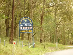
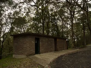
Safety alerts: Major roadworks in Sugarloaf State Conservation AreaMajor roadworks are ongoing in Sugarloaf State Conservation Area. Partial and intermittent road closures should be expected.
Visitors are asked to avoid the area (if possible). Otherwise, please be aware of trucks and machinery working on roads within Sugarloaf SCA and to drive to the conditions.
For more information, please contact the NPWS Lower Hunter Area Office on 02 4946 4100.
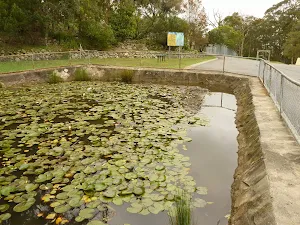
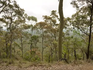
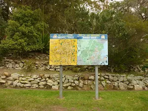
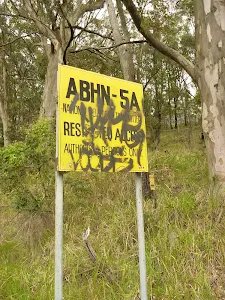
Closed areas: Parts of Sugarloaf State Conservation Area closedParts of Sugarloaf State Conservation Area are closed for approved underground mining operations. The affected areas (
see map) have been closed to protect visitor safety, because they're subject to subsidence and remediation activities from the mining operations.
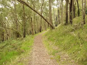
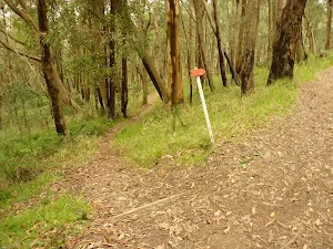
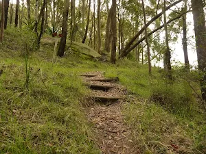
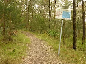
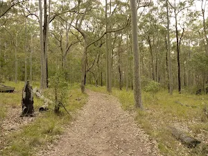
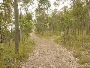
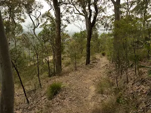
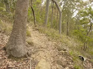
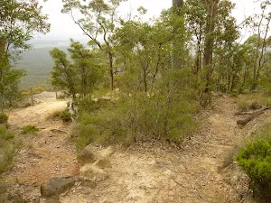
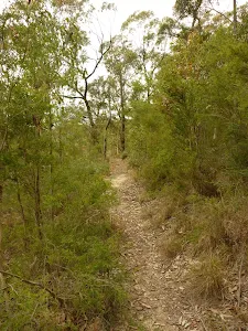
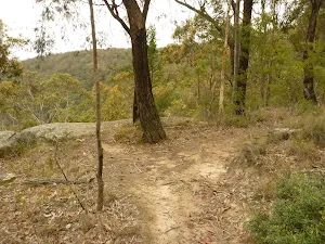
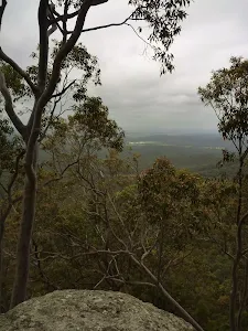
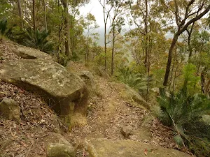
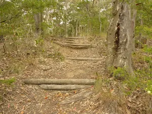
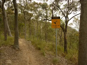
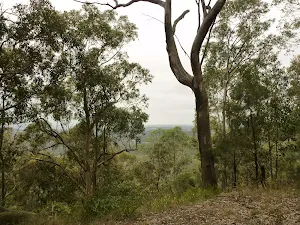
Great North walk remains open. An update will be provided should this situation change.
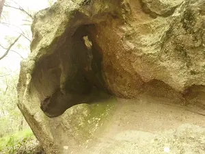
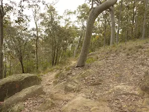
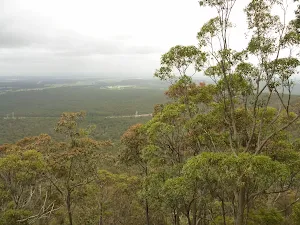
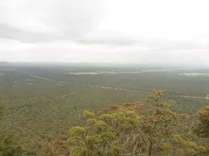
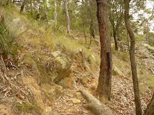
If you're visiting the park, please be aware of subsidence and pollution incidents that took place in 2013, which were greater than what was expected from normal mining operations. These included a cliff fall in the north, and a subsidence and grout leak incident in the central part of Sugarloaf State Conservation Area.
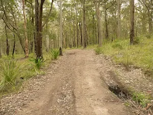
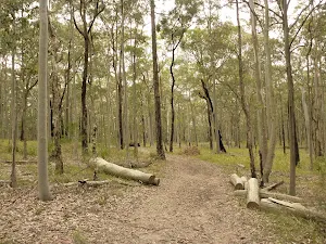
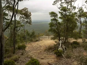
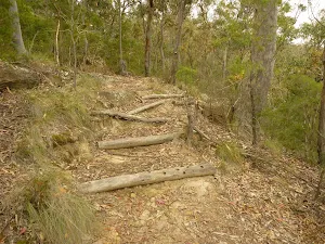
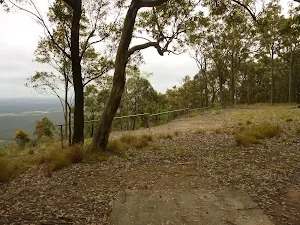
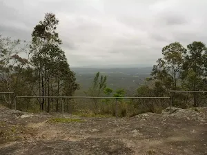
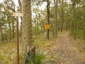
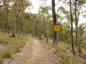
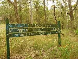
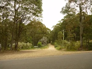
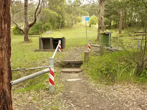
If you're planning to visit the park during this time, please stay on formed tracks and trails and observe all barriers, warning signs and safety messages. Areas subject to possible cliff fall or subsidence in both areas of the park are clearly marked.
For more information, call the NPWS Lower Hunter area office on 02 4946 4100.
NSW National Parks safety page.
Alert kindly provided by © NSW Nataional Parks and Wildlife Service