Closed areas: Woodford Oaks and Saint Helena trails - Weekday closureWoodford Oaks and Saint Helena trails in Blue Mountains National Park will be closed for maintenance and repairs on weekdays from Monday 26 May 2025 to Friday 8 August 2025 inclusive. The affected areas include:
- Woodford Oaks trail from Taylor Road at Woodford to the intersection of the Oaks/Nepean lookout trails
- Saint Helena trail.
Please follow all signs and directions of NPWS staff.
Penalties apply for non-compliance. For more information, contact the local park office on 02 4720 6200.
Closed areas: Parts of Blue Mountains National Park closedMany roads, fire trails and walking tracks in Blue Mountains National Park are closed due to infrastructure repairs, upgrades or damage caused by wet weather including subsidence, rockfalls, landslides and fallen trees.
The following tracks are
closed:
Katoomba and Leura
- Honeymoon Bridge is closed due to rockfall hazards. (Visible bridge from Echo Point. Side route off Three Sisters Track and Giant Stairs.)
- Leura Cascades track (bottom section) is closed until the end of 2025 for track upgrade works. There is no access to Prince Henry Cliff walk (part of Grand Clifftop walk) between the top of Leura Cascades and the Amphitheatre junction. Short detour via Cliff Drive.
- Leura Cascades parking area and toilets are closed. Visit the Blue Mountains City Council website for information.
- Fern Bower track between Prince Henry Cliff walk and Amphitheatre track is closed due to landslides and associated repairs.
- Glenrapheal Drive (Narrow Neck fire trail) is closed to vehicles near Cliff Drive due to a road subsidence. Walkers and cyclists permitted.
- Part of Lindeman Pass is closed due to a major landslide below Gladstone lookout. Roberts Pass is closed due to rockfall and landslide hazards.
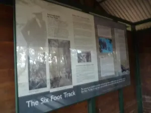
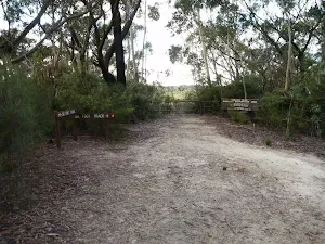
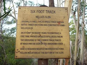
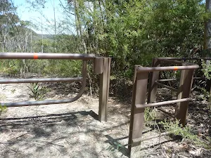
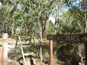
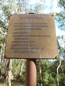
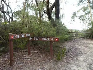
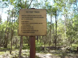
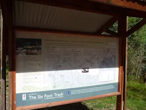
- Six Foot track is affected by closures at Jenolan Caves.
Wentworth Falls and Woodford
- Charles Darwin walk (part of Grand Cliff Top walk) is closed between Fletcher Street and Weeping Rock. Detours are in place to provide directions to Wentworth Falls picnic area. Visit the Blue Mountains City Council website for information.
- Part of National Pass (west of Wentworth Falls middle crossing) is closed due to a major landslide and ongoing risks.
- Wentworth Pass and Slack Stairs are closed due to elevated boardwalk repairs. There's no access to Roberts Pass, Hippocrene or Vera Falls.
- Valley of the Waters is closed below Sylvia Falls. There is no access to Roberts Pass, Hippocrene or Vera Falls.
Blackheath, Mount Victoria, Megalong Valley and Bells Line of Road
- Pulpit Rock Reserve, lookouts and part of the walking track are closed. For more information visit the Blue Mountains City Council website. Pulpit Rock walking track from Popes Glen is open as far as the NPWS boundary (as shown on Google maps).
- Govetts descent and Rodriguez Pass are closed due to rockfalls and landslides.
Adventure recreation, canyons, abseiling and rock climbing
Some adventure recreation areas and routes may be closed where the access or exit road/track is mentioned above.
Penalties apply for non-compliance. For more information, please contact the Blue Mountains Heritage Centre.
Closed areas: Link walking track temporary closureLink walking track is closed from Friday 9 May 2025 until further notice.
This is to allow for ongoing track works. For your safety, please follow all signs and instructions of NPWS staff.
Penalties apply for non-compliance. For more information, contact the local NPWS office on 02 4720 6200.
Safety alerts: Remote walking track conditionsRemote routes within the Kanangra Wilderness Area including Kanangra to Katoomba (K2K) trail have been impacted by heavy fire regrowth and flood damage.
In some places, tracks are no longer visible and are not easy to navigate, taking longer to traverse than expected. Limited to zero water sources are currently available along routes.
If you plan to walk in the area, please ensure you have an appropriate level of experience, navigation skills and equipment including Personal Locator Beacon (PLB).
Mobile reception is limited so alternative communication methods are strongly recommended.
For more information, contact the NPWS Blue Mountains Heritage Centre on 02 4787 8877.
Other planned events: Notice of ongoing 1080 baiting programNSW National Parks and Wildlife Service (NPWS) is conducting an ongoing ground baiting program from Friday 2 May 2025 to Friday 1 May 2026 in the following areas:
- Abercrombie River National Park
- Abercrombie River State Conservation Area
- Kanangra-Boyd National Park
- Blue Mountains National Park (southern section)
- Wollemi National Park (Wolga)
- Gardens of Stone National Park
- Jenolan Karst Conservation Area
- Turon National Park
- Marrangaroo National Park
The operation will use 1080 (sodium fluoroacetate) poison for the control of wild dogs and foxes.
The program is designed to minimise predator impacts on wildlife, especially threatened species, and to minimise impact of wild dogs on neighbouring stock.
Signs will be placed at the entry to the baiting location. Domestic pets are not permitted in NSW National Parks managed lands. Pets and working dogs may be affected (1080 is lethal to cats and dogs). Pets and working dogs must be restrained or muzzled in the vicinity and must not enter the baiting location. In the event of accidental poisoning seek immediate veterinary assistance.
For more information, contact the NPWS Kanangra area office at Oberon on 02 6336 6200.
Closed areas: Narrow Neck - Glenraphael Drive closed due to landslideGlenraphael Drive at Narrow Neck is closed to all vehicles until further notice. This road has been impacted by a landslide. Walkers and cyclists are permitted. Please follow directions of park signage and NPWS staff.
Penalties apply for non-compliance. For more information, contact Blue Mountains Heritage Centre on 02 4787 8877.
Closed areas: Fern Bower walking track closedFern Bower walking track in Blue Mountains National Park is closed until further notice due to multiple landslides. There's no access to Leura Forest and Leura Cascades via Fern Bower. Alternative access is via Amphitheatre track.
For more information, call the NPWS Blue Mountains Heritage Centre on 02 4787 8877.
Closed areas: Waratah Native Gardens picnic area closedWaratah Native Gardens picnic area is closed until further notice. This includes Gorge walking track. No access to the area is permitted.
Penalties apply for non-compliance. For more information, please contact the NPWS Hawkesbury-Nattai area office on 02 4720 6200.
Alert kindly provided by © NSW Nataional Parks and Wildlife Service