


| Start | (-33.7319279,151.0782952) |
| Mode | Bus Car Train |
| Directions | From Pennant Hills Road, A28, Thornleigh.
|
| Finish | At the intersection of Clarinda Street & Clarinda Firetrail (-33.6881045,151.0918163) |
| Mode (end) | Car Shuttle Bus Car Train |
| Turn map | Directions & comments |
|---|---|
 |
|
 |
|
 |
|
 |
|
 |
|
 |
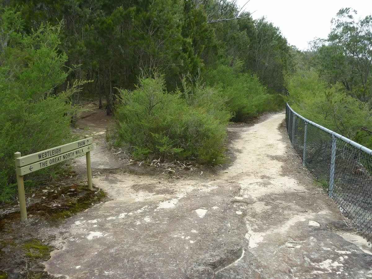
After another 265 m (at the intersection of The Great North Walk & Morgan Street) turn right, to head along The Great North Walk (a walking track).
|
 |
At the intersection of Timbarra Road - Bellamy Street Cycleway & The Great North Walk veer right, to head along Timbarra Road - Bellamy Street Cycleway.
|
 |
At the intersection of The Great North Walk & Timbarra Road - Bellamy Street Cycleway turn left, to head along The Great North Walk.
|
 |
|
 |
|
 |
|
 |
|
 |
|
 |
|
 |
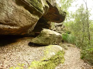
The starting point of an optional sidetrip. Side trip to a lookout with filtered views across the valley and some Aboriginal engravings of wallabies. To start this optional side trip turn sharp right here. On returning from this side trip veer right when you get back to this intersection. Details below.
|
 |
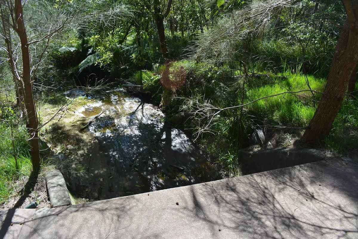
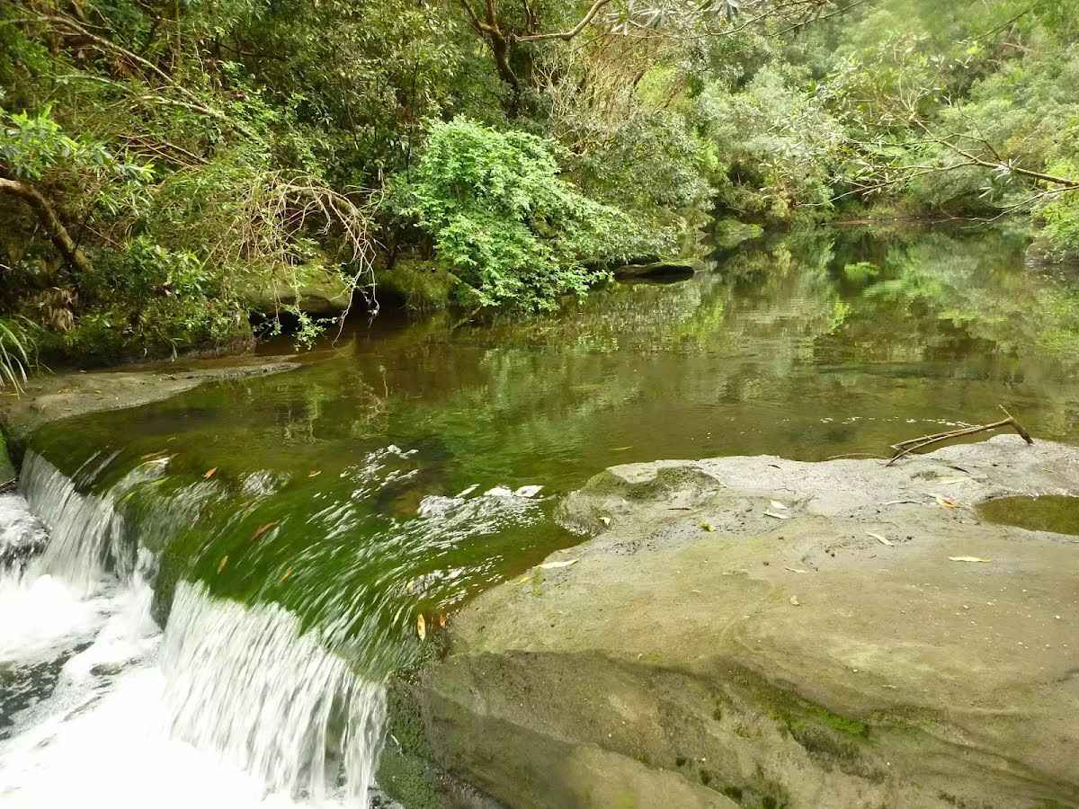
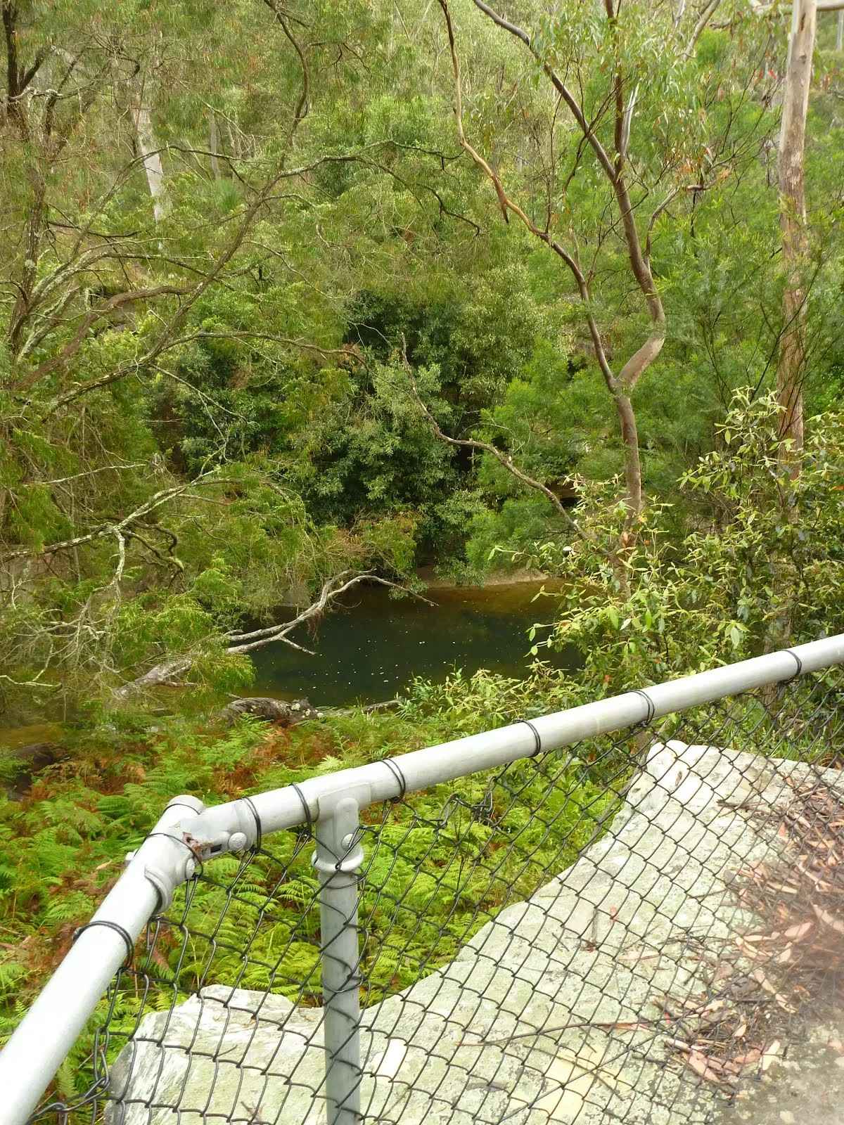
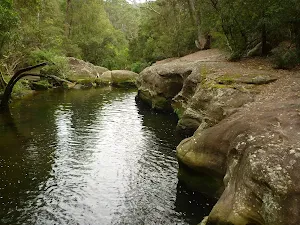
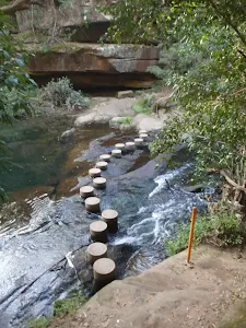
The starting point of an optional sidetrip. Side trip to Fishponds waterhole on Berowra Creek. At the southern end, there are stepping stones to help cross the creek, and a small timber bridge at the northern end. This is a beautiful spot and a worthy place to rest and enjoy the water passing by. Swimming and jumping at the Fishponds waterhole have resulted in fatalities – please heed the signs and Cora’s parents’ plea and enjoy the water from the edge. To start this optional side trip continue straight here. On returning from this side trip continue straight when you get back to this intersection. Details below.
At the intersection of Blue Gum Walk & Great North Walk turn sharp right, to head along Blue Gum Walk.
|
 |
|
 |
|
 |
|
 |
|
 |

|
|
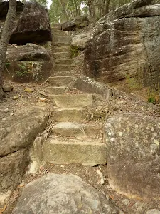
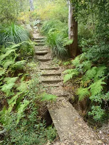
Class 4/6 Hard track |
|---|---|
| Length | 10.4 km |
| Time | 3 h 15 min to 5 h |
| Quality of track | Formed track, with some branches and other obstacles (3/6) |
| Gradient | Very steep (4/6) |
| Signage | Directional signs along the way (3/6) |
| Infrastructure | Limited facilities, not all cliffs are fenced (3/6) |
| Experience Required | Moderate level of bushwalking experience recommended (4/6) |
| Weather | Storms may impact on navigation and safety (3/6) |
| Item | From Start | Name & link to notes |
|---|---|---|
Toilet
| -6 m | [toilet] |
Toilet
| -5 m | [toilet] |
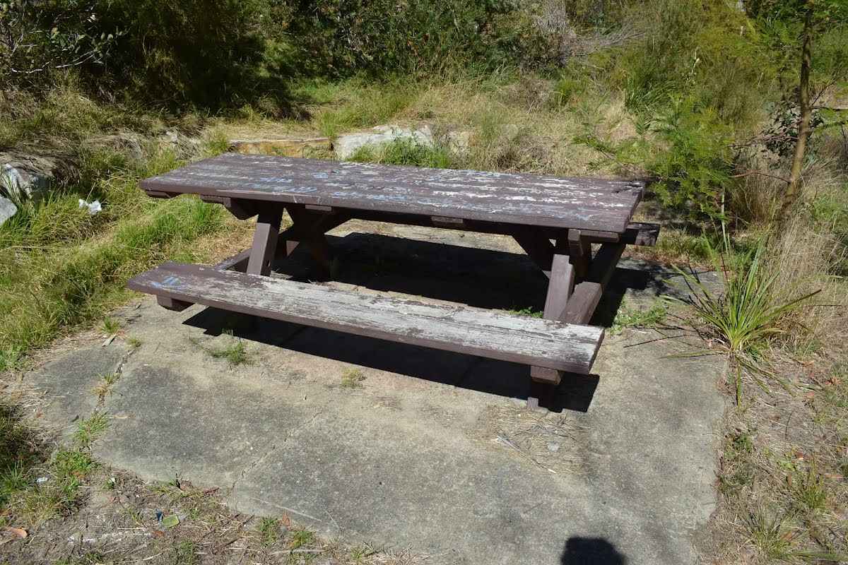
Seat
| 55 m | [seat] |
Campsite
| 2.9 km | The Jungo |
Vegetation and surface works will be carried out from Monday 21 July to Monday 18 August 2025 on the following trails in Berowra Valley National Park:
Walkers permitted but there may be delays. Please follow all signage and instructions from NPWS staff and contractors.
Penalties apply for non-compliance. For more information, contact the North Western Sydney area office on 02 8448 0400.
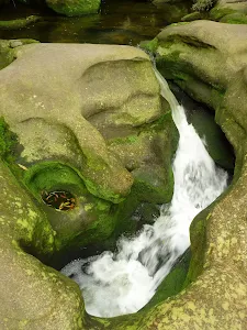
Swimming is not advisable in Berowra Creek at certain times as the water may be subject to variable pollution levels and algal blooms. Please refer to the Hornsby Shire Council website before swimming in Berowra Creek. Alternatively you can call the Hornsby Council 24 hour information line on 9847 6666 or the Algal information line on 1800 999 457.
Swimming at Fishponds is not advised at any time due to heavy water pollution.
Penalties apply for non-compliance.For more information, contact the NPWS Chatswood area office on 02 8448 0400 or visit the NSW National Parks safety page for park safety guidelines.