Other planned events: Other planned events: Heavy Vehicle MovementsHeavy vehicle movements are anticipated over this school holiday period. Visitors are advised to exercise caution when travelling along our roads.
For more information, contact the Kanangra Area office on 02 6336 6200.
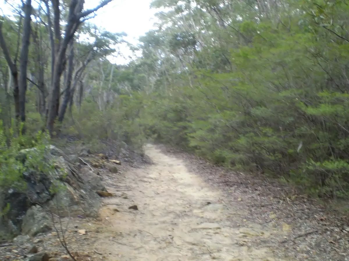
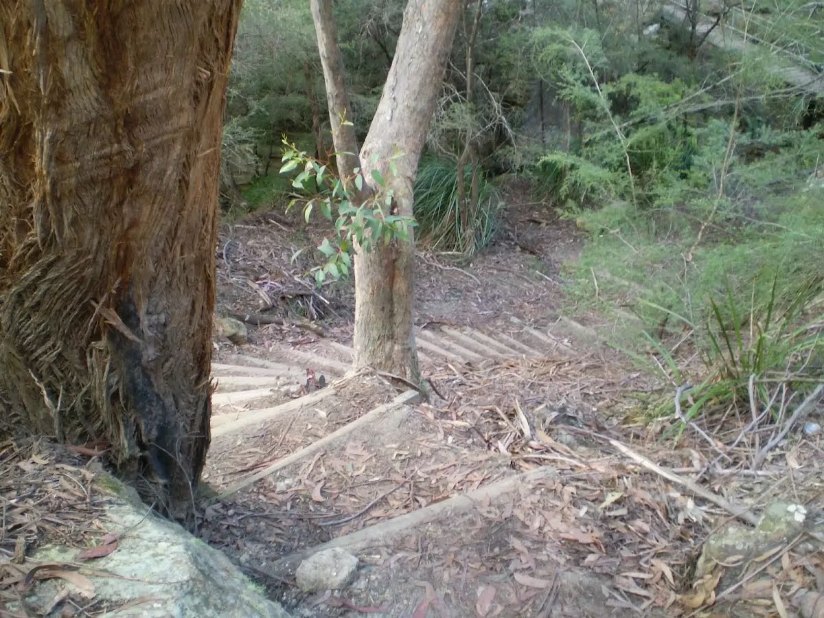
Other planned events: Lost City Walking Track Carpark ClosureLost City Walking Track Carpark is currently closed for improvement works.
The improvement works at Lost City Walking Track Carpark will include a accessible footpaths, visitor information signage, seating, carparking and accessible double stall toilet. Revegetation work and planting of native species are also proposed.
Lost City Walking Track will remain open and accessible to visitors via Lost City Road. Visitors are advised to stay alert and follow the signage.
Penalties apply for non-compliance. For more information, contact the local park office on 02 6336 6200.
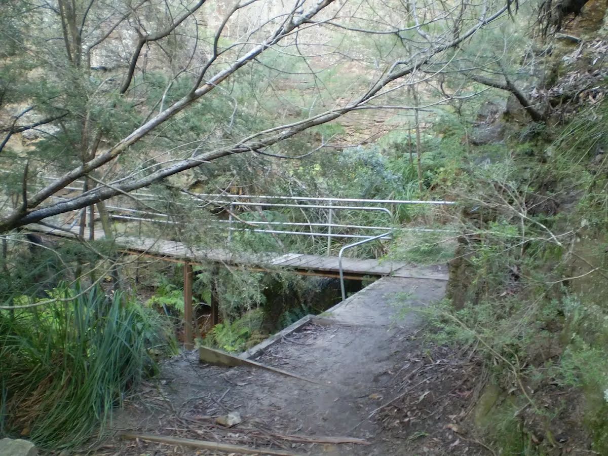
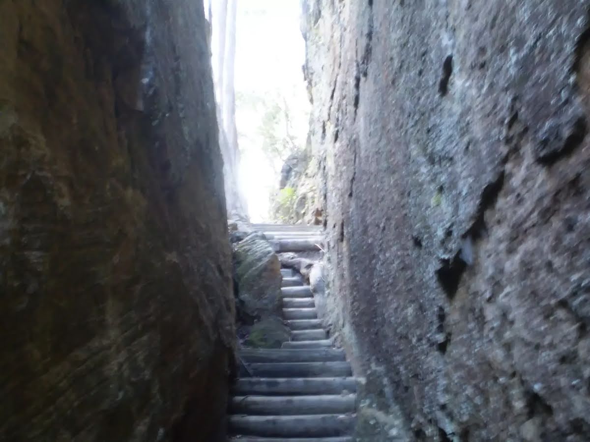
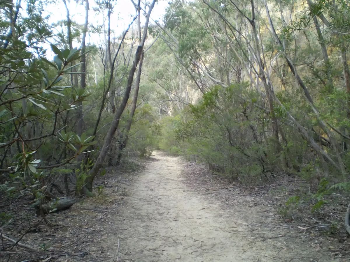
Safety alerts: Glow Worm Tunnel walking track to NewnesWork has commenced on the upgrade of the Newnes to Four Ways walking track – part of the Glow Worm Tunnel to Newnes walking track. Please be aware of workers and materials on the walking track and take care around all work sites. Please follow any directions from staff onsite.
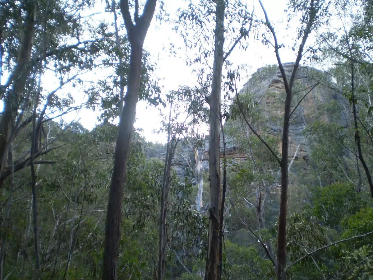
Closed areas: Glow Worm Tunnel Walking Track closed due to heavy rainfallThe section of Glow Worm Tunnel walking track from the Glow Worm Tunnel exit to the 'four ways' intersection, Wolgan Valley will remain closed until further notice.
Recent heavy rainfall has caused landslips along this section of Glow Worm Tunnel walking track.
The Glow Worm Tunnel can still be accessed via the Glow Worm Tunnel carpark. Newnes Industrial Ruins and the Newnes Campgrounds can only be accessed via the Pipeline Track from Glen Davis or by Old Coach Road.
Penalties apply for non-compliance. For more information, contact the NPWS Kanangra Area Office on (02) 6336 6200.
Closed areas: Talisman Gallery closedThe Talisman Gallery at Hartley Historic Site is closed from Monday 17 February 2025 until further notice.
For more information, please contact Hartley Visitor Centre on 02 6355 2117.
Other planned events: Notice of ongoing 1080 baiting programNSW National Parks and Wildlife Service (NPWS) is conducting an ongoing ground baiting program from Friday 2 May 2025 to Friday 1 May 2026 in the following areas:
- Abercrombie River National Park
- Abercrombie River State Conservation Area
- Kanangra-Boyd National Park
- Blue Mountains National Park (southern section)
- Wollemi National Park (Wolga)
- Gardens of Stone National Park
- Jenolan Karst Conservation Area
- Turon National Park
- Marrangaroo National Park
The operation will use 1080 (sodium fluoroacetate) poison for the control of wild dogs and foxes.
The program is designed to minimise predator impacts on wildlife, especially threatened species, and to minimise impact of wild dogs on neighbouring stock.
Signs will be placed at the entry to the baiting location. Domestic pets are not permitted in NSW National Parks managed lands. Pets and working dogs may be affected (1080 is lethal to cats and dogs). Pets and working dogs must be restrained or muzzled in the vicinity and must not enter the baiting location. In the event of accidental poisoning seek immediate veterinary assistance.
For more information, contact the NPWS Kanangra area office at Oberon on 02 6336 6200.
Closed areas: Roads closed due to flood damageThe following roads in this park are closed due to storm and flood damage:
- California trail - closed until late July 2025
Visitor areas that are currently closed include:
- California Hut - closed until late July 2025
Gates have been locked, and signs are in place on closed roads. Expected reopening times are subject to weather delays.
Penalties apply for non-compliance. For more information, contact the NPWS Bulga area office.
Closed areas: Wheeny Creek campground - Boobook section permanently closedThe Boobook campground and picnic area within Wheeny Creek campground has permanently closed due to flood damage.
Penalties apply for non-compliance. For more information, contact the local NPWS office on 4720-6200.
Alert kindly provided by © NSW Nataional Parks and Wildlife Service