Warriwarri Lookout
Darkinjung & Guringai Country

40 min to 1 h

2.2 km
return

↑ 51 m
↓ -51 m

Easy track
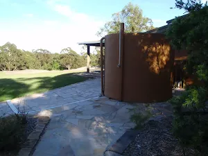
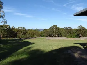
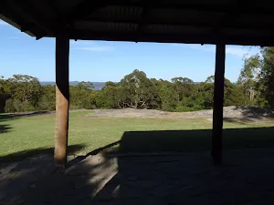
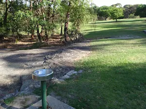
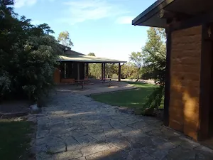
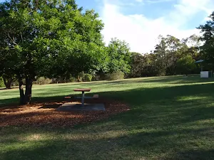
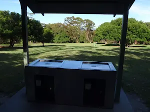
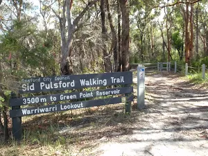
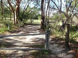
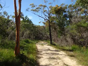
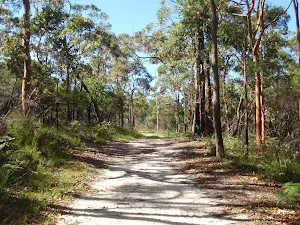
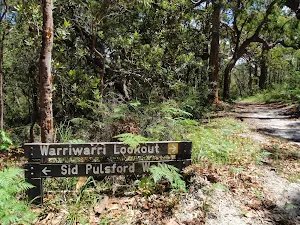
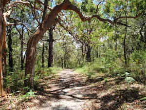
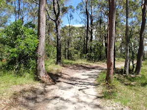
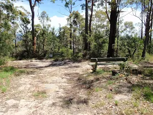
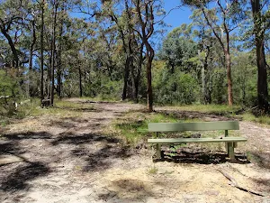
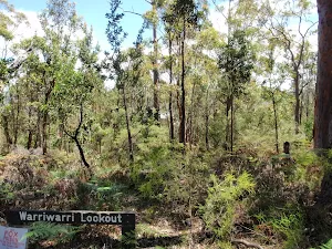
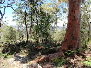
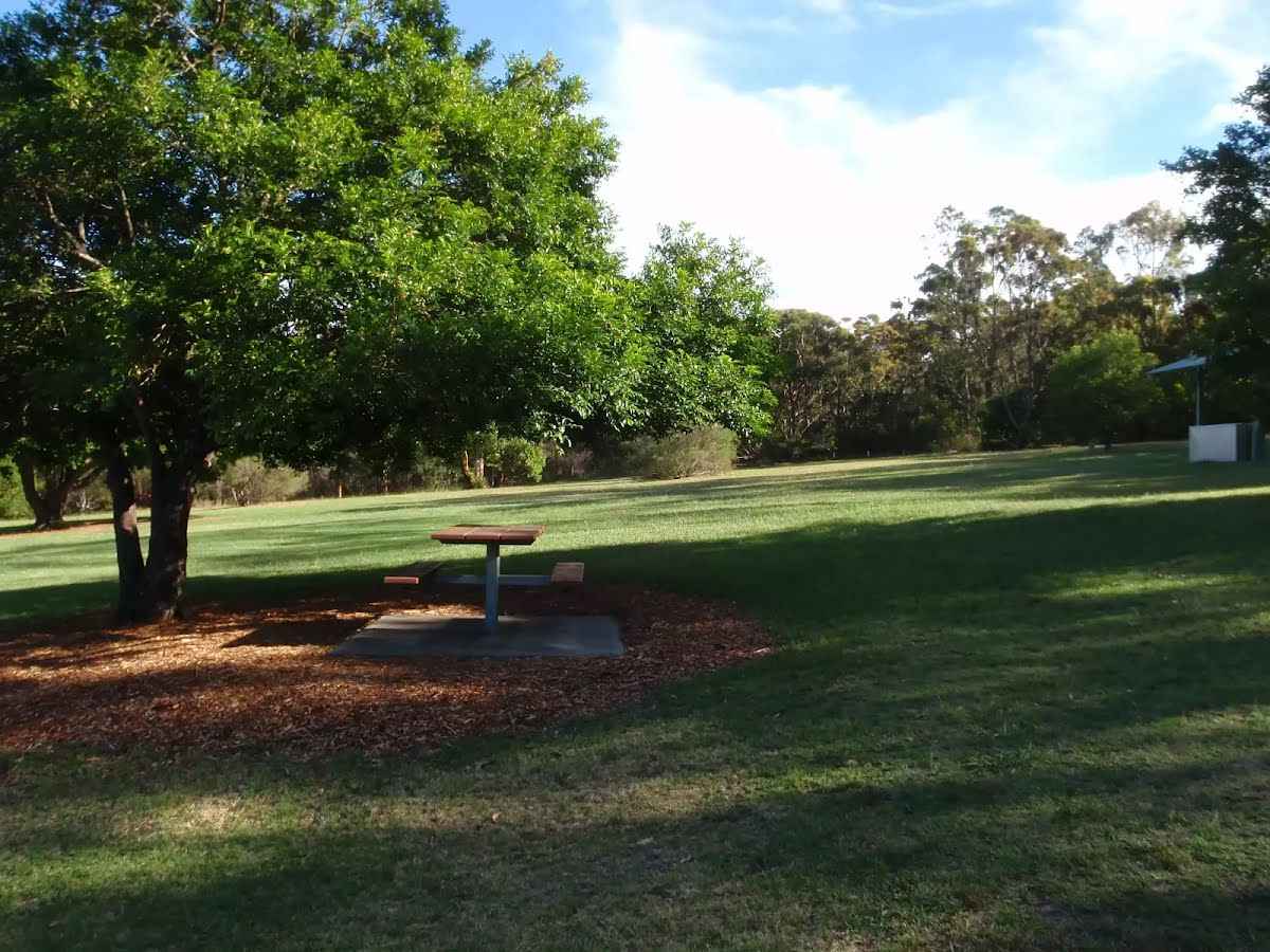
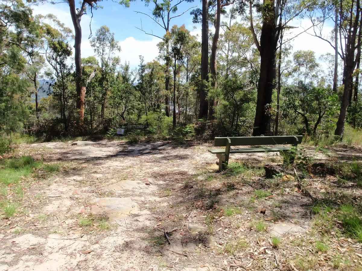
This short and fairly flat walk starts from the popular Honeman's picnic area and follows the Sid Pulsford Walking Track, then another trail to Warriwarri Lookout. The lookout is overgrown and provides no real view. A short distance beyond the signposted lookout is a rocky outcrop that provides some filtered views of the district. A nice walk through the dry ridge top forest, just don't expect grand views. Let us begin by acknowledging the Darkinjung & Guringai people, Traditional Custodians of the land on which we travel today, and pay our respects to their Elders past and present. 
Show all
Mub brick building. | Photo by admin, 2009.
Grassy area in front of the mud brick building . | Photo by admin, 2009.
View from the Mud Brick Building. | Photo by admin, 2009.
Drinking water at Honeman's Picnic Area. | Photo by admin, 2009.
Toilet block and bud brick building at Honeman's Picnic Area. | Photo by admin, 2009.
Honeman's Picnic Area. | Photo by admin, 2009.
BBQ at Honeman's Picnic area. | Photo by admin, 2009.
Sid Pulsford Walking trail sign. | Photo by admin, 2009.
Gate on Sid Pulsford Walking trail near Honeman's Rock. | Photo by admin, 2009.
Moister section of the sandy Sid Pulsford Walking trail. | Photo by admin, 2009.
straight section on Sid Pulsford Walking trail. | Photo by admin, 2009.
Int of Sid Pulsford Walking and Warriwarri Lookout trails. | Photo by admin, 2009.
Warriwarri Lookout trail. | Photo by admin, 2009.
The sandy Warriwarri Lookout trail. | Photo by admin, 2009.
Warriwarri Lookout. | Photo by admin, 2009.
Seat and clearing at Warriwarri Lookout. | Photo by admin, 2009.
The overgrown Warriwarri Lookou. | Photo by admin, 2009.
Top of the ridge. | Photo by admin, 2009.
Downloads GPX PDF

+
-
Safer Bushwalks
Tips on staying safe on track
Before you start any bushwalk ensure you;
• Tell someone you trust where you are going and what to do if you are overdue
• Have adequate equipment, supplies, skills & knowledge for the whole journey
• Consider the impact of weather forecasts, park/track closures & fire dangers
• Can respond to emergencies & call for help at any point
• Are healthy and fit enough for this journey
If not, change plans and stay safe. It is okay to delay and ask people for help.
+
-
Getting There
Transport options and directions
Start (-33.4594139,151.3915736)
Mode Car (There is free parking available.)
DirectionsFrom Avoca Drive
  • Turn on to Avoca Drive then drive for 50 m
  • At roundabout, take exit 2 onto Avoca Drive and drive for another 300 m
  • At roundabout, take exit 2 onto Avoca Drive and drive for another 840 m
  • At roundabout, take exit 3 onto Bungoona Road and drive for another 255 m
  • Turn left onto Kincumber Street and drive for another 2.1 km
+
-
Track Notes
Turn by turn instructions & maps
Getting started
From the car park next to the mud brick building, this walk heads in front of the mud brick building and follows the path to the toilet block. Here, the walk heads across the grass between the picnic table (under the tree on the left) and the BBQ shelter (on the right) to the far end of the clearing, near another picnic table, to find the 'Sid Pulsford Walking Trail' sign.....
Turn map Directions & comments
Start heading along Island View Drive.
Honeman's Rock (about 45 m back from the start).
Honeman's Rock
Honeman's Rock

Honeman's Rock (aka Honeyman's Rock) is a large rock outcrop in front of the mud brick building, in the Honeman's Rock Picnic area. The exposed section of rock is 60m long and about 30m wide, with the western side having a significant unfenced drop. The rock is named after Cecil Lyle Honeman who became a lease holder on the mountain in 1962. The rock has a large depression that once filled with water, and a drain has been dug to keep the pool empty and clear of rubbish.
+
-
Honeman's Rock (aka Honeyman's Rock) is a large rock outcrop in front of the mud brick building, in the Honeman's Rock Picnic area. The exposed section of rock is 60m long and about 30m wide, with the western side having a significant unfenced drop. The rock is named after Cecil Lyle Honeman who became a lease holder on the mountain in 1962. The rock has a large depression that once filled with water, and a drain has been dug to keep the pool empty and clear of rubbish.

After 130 m find the "Mud Brick Building" (10 m on your left).
Mud Brick Building
Mud Brick Building

The mud brick building is a landmark in the main picnic area at Kincumber Mountain, and is a popular spot to gather. Also known as 'Kincumber Mountain Information Centre', 'The Kiosk', 'Kincumber Kiosk' and 'Kincumber Mountain Kiosk', the building was constructed in 1986 with funding from Community Employment Programme. The building is generally locked but can be booked through the local Lions Club for special events. The building has a rain water tank, small kitchen and one main large room. The verandah also provides good shelter.
+
-
The mud brick building is a landmark in the main picnic area at Kincumber Mountain, and is a popular spot to gather. Also known as 'Kincumber Mountain Information Centre', 'The Kiosk', 'Kincumber Kiosk' and 'Kincumber Mountain Kiosk', the building was constructed in 1986 with funding from Community Employment Programme. The building is generally locked but can be booked through the local Lions Club for special events. The building has a rain water tank, small kitchen and one main large room. The verandah also provides good shelter.

After another 20 m pass the "Kincumba Mountain Kiosk" (30 m on your left).
After another 45 m find the "Honeman's Rock picnic area" (45 m on your left).
Honeman's Rock picnic area

Honeman's Rock picnic area is a large picnic area at the top end of Island View Drive. This picnic area has a couple of large grassy areas, composting toilets, free electric BBQs, picnic tables, shelters, garbage bins, drinking water and information signs. The picnic area is home to a mud brick building (available for hire) and Honeman's Rock, from which the area derives its name. There is a fair amount of parking available next the picnic area, and some extra spaces a few hundred meters down the road.
+
-
Honeman's Rock picnic area is a large picnic area at the top end of Island View Drive. This picnic area has a couple of large grassy areas, composting toilets, free electric BBQs, picnic tables, shelters, garbage bins, drinking water and information signs. The picnic area is home to a mud brick building (available for hire) and Honeman's Rock, from which the area derives its name. There is a fair amount of parking available next the picnic area, and some extra spaces a few hundred meters down the road.

Continue straight, to head along Island View Drive.
After another 90 m (at the intersection of Kanning Walk & Island View Drive) turn left, to head along Sid Pulsford Trail.
After another 40 m to find the car park.
After another 10 m pass the sign (15 m on your left).
After another 200 m continue straight, to head along Warriwarri Walk.
After another 90 m continue straight, to head along Warriwarri Walk.
After another 350 m find the "Warriwarri Lookout" (on your right).
Warriwarri Lookout
Warriwarri Lookout

Warriwarri Lookout is an overgrown and signposted lookout in the middle of Kincumber Mountain Reserve. There is a fairly large clearing and a bench seat. There are slightly better views north, past the sign at the unfenced rock outcrop. The filtered views look north-east. The view from the lookout is overgrown, so do not expect much in the way of views.
+
-
Warriwarri Lookout is an overgrown and signposted lookout in the middle of Kincumber Mountain Reserve. There is a fairly large clearing and a bench seat. There are slightly better views north, past the sign at the unfenced rock outcrop. The filtered views look north-east. The view from the lookout is overgrown, so do not expect much in the way of views.

Continue another 215 m to find the end. Then turn around here and retrace the main route for 1.1 km to get back to the start.
+
-
Terrain
Know the Hills, grading & facilities

Warriwarri Lookout


Grading
Class 2/6
Easy track
Length 2.2 km
Time 40 min to 1 h
Quality of track Clear and well formed track or trail (2/6)
Gradient Gentle hills with occasional steps (2/6)
Signage Clearly signposted (1/6)
Infrastructure Generally useful facilities (such as fenced cliffs and seats) (1/6)
Experience Required No experience required (1/6)
Weather Weather generally has little impact on safety (1/6)
+
-
Articles
Discover more details to thrive on track
Get more information
Wildwalks
+
-
Reviews & Feedback
Share your experience
+
-
Weather & Alerts
Check forecasts & closures
Show Full Weather
Alerts and Closures
Show all alerts
Show all alerts
Show all alerts
+
-
Other Journeys
Discover nearby and similar journeys
Some of the information and maps on this page was generated using data from the awesome © OpenStreetMap contributors.
Please see how you can embed some widgets, access data and other stuff to that might be helpful.