
| Start | (-42.1164503,146.1744949) |
| Mode | Car |
| Directions | From |
| Turn map | Directions & comments |
|---|---|
 |
|
 |
|
 |
|
 |
|
 |
|
 |
|
 |
|
 |
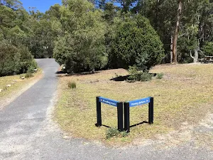
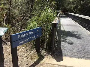
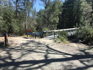
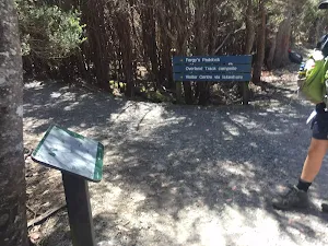
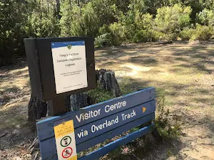
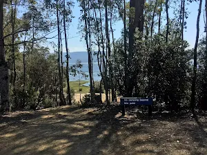
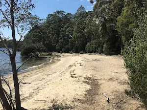
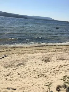
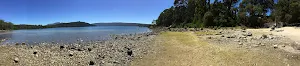
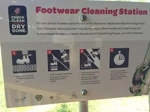
The starting point of an alternate route. This alternate route takes you along the foreshore of the lake via the Fergie's Paddock Track. To take the alternate route turn left here. Details below.
|
 |
|
 |
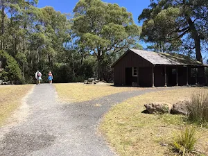
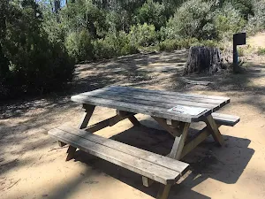
There is a fee to use this campsite. This campsite has showers.
|
 |
| Turn map | Directions & comments |
|---|---|
 |
|
 |
|
 |

|
|
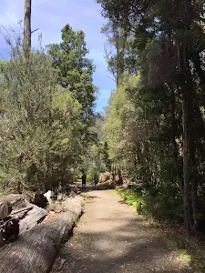
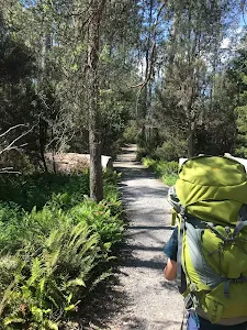
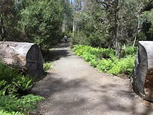
Class 3/6 Moderate track |
|---|---|
| Length | 4 km |
| Time | 45 min to 1 h 30 min |
| Quality of track | Formed track, with some branches and other obstacles (3/6) |
| Gradient | Gentle hills with occasional steps (2/6) |
| Signage | Clearly signposted (1/6) |
| Infrastructure | Generally useful facilities (such as fenced cliffs and seats) (2/6) |
| Experience Required | Some bushwalking experience recommended (3/6) |
| Weather | Storms may impact on navigation and safety (3/6) |
| Item | From Start | Name & link to notes |
|---|---|---|
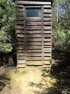
Toilet
| -10 m | [toilet] |
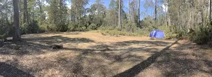
Camp site
| 3.2 km + 110 m | Fergy's Paddock camp site |
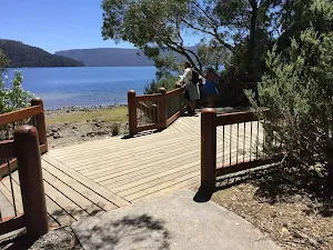
Seat
| 3.2 km + 640 m | [seat] |
Camp site
| 4.1 km | Lake St Clair Lodge |