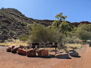
| Start | From the Kings Canyon Rim Walk (-24.2557341,131.5702748) |
| Mode | Car |
| Directions | From Stuart Highway, Ghan.
|
| Turn map | Directions & comments |
|---|---|
 |
|
 |
|
 |
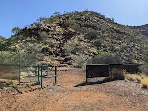
The starting point of an optional sidetrip. An optional side trip to Kings Creek foreshore via the Kings Creek Walk. Will add about 15 minutes of walking time to your journey. To start this optional side trip continue straight here. On returning from this side trip turn right when you get back to this intersection. Details below.
After another 55 m (at the intersection of Kings Canyon Rim Walk & Kings Creek Walk) turn left, to head along Kings Canyon Rim Walk.
|
 |
|
 |
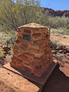
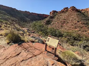
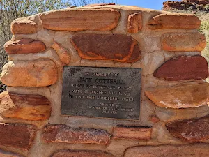
The starting point of an optional sidetrip. An optional side trip to Cotterjills Lookout, named after Jack Cotterill. About 10 minutes out & back. To start this optional side trip veer right here. On returning from this side trip turn right when you get back to this intersection. Details below.
|
 |
|
 |
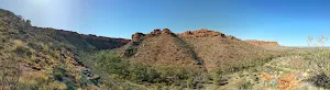
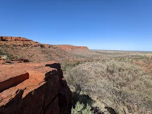
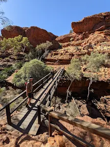
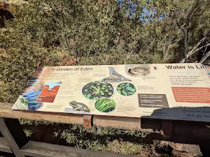
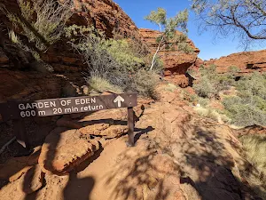
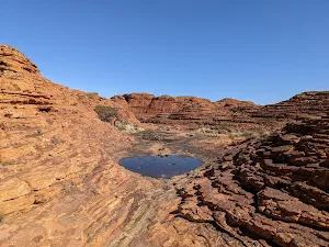
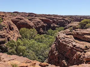
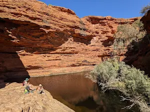
The starting point of an optional sidetrip. This optional side trip takes you to the Garden of Eden and Kings Canyon Waterhole. Swimming is prohibited as this is a sacred site. To start this optional side trip veer left here. On returning from this side trip turn right when you get back to this intersection. Details below.
|
 |
|
 |
|
 |
| Turn map | Directions & comments |
|---|---|
 |
|
 |
|
 |
| Turn map | Directions & comments |
|---|---|
 |
|
 |
| Turn map | Directions & comments |
|---|---|
 |
|
 |

|
|
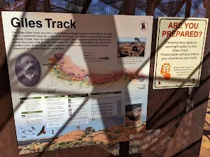
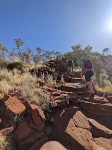
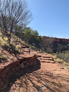
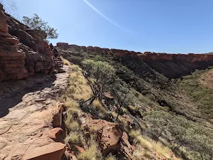
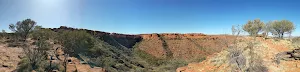
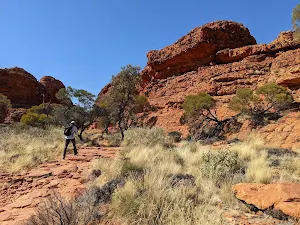
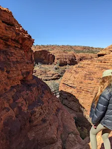
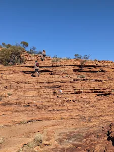
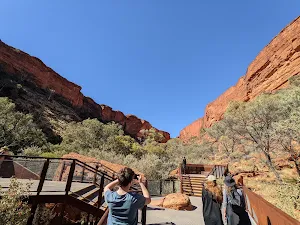
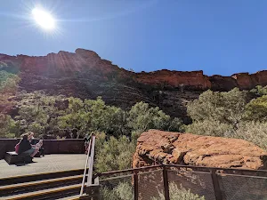
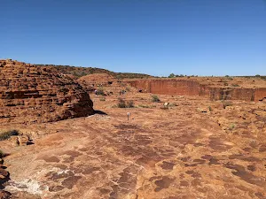
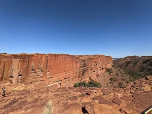
Class 3/6 Moderate track |
|---|---|
| Length | 4.8 km |
| Time | 1 h 45 min to 3 h |
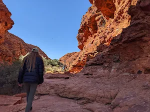
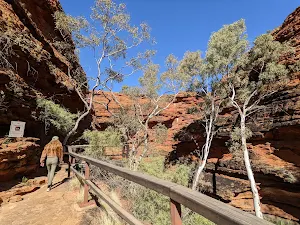
| Quality of track | Formed track, with some branches and other obstacles (3/6) |
| Gradient | Short steep hills (3/6) |
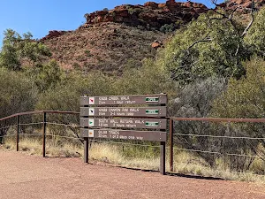
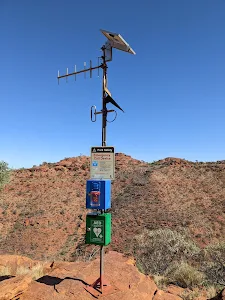
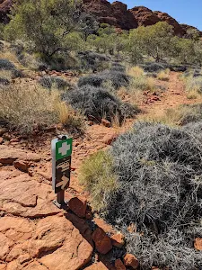
| Signage | Clearly signposted (2/6) |
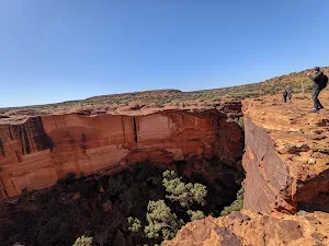
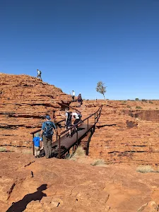
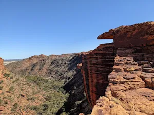
| Infrastructure | Limited facilities, not all cliffs are fenced (3/6) |
| Experience Required | No experience required (2/6) |
| Weather | Weather generally has little impact on safety (2/6) |
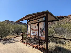
| Item | From Start | Name & link to notes |
|---|---|---|
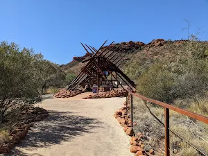
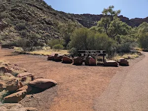
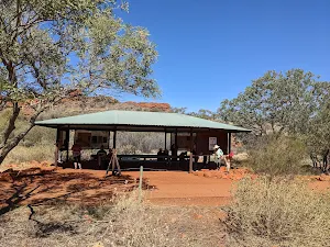
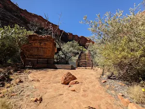
Shelter
| 20 m | [shelter] |
Shelter
| 120 m | [shelter] |
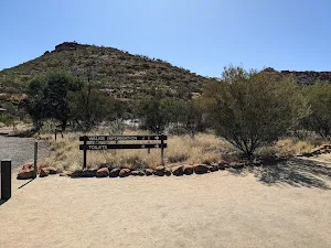
Toilet
| 145 m | [toilet] |
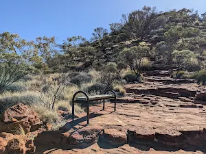
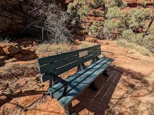
Seat
| 520 m + 590 m | [seat] |
Seat
| 560 m | [seat] |