| Turn map |
Directions & comments |
|
|

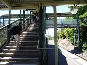
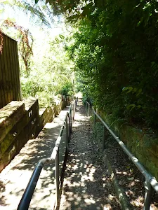
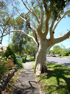
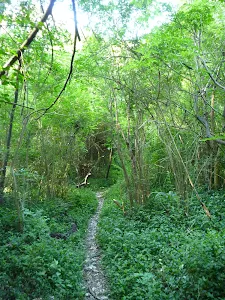
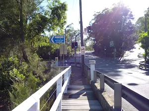
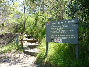
Start.

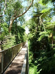
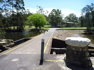
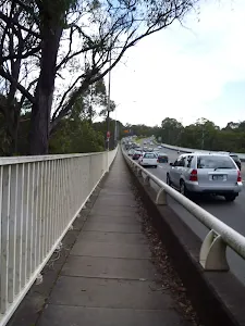
Then cross the bridge (about 15 m long)
|
|
|

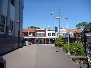
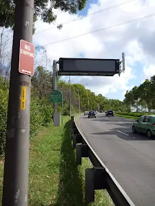
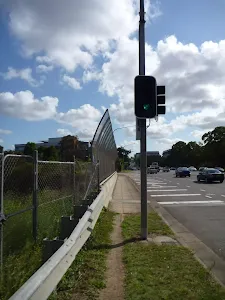
After another 40 m (from the Pacific Highway) turn right, to head along Pacific Highway (a highway|trunk).
|
|
|

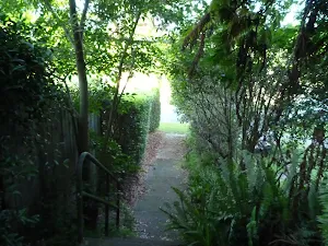
After another 35 m (from the Pacific Highway) turn left (a footpath).
|
|
|

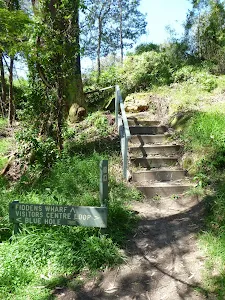
After another 60 m (from the Larkin Lane) continue straight (a steps).

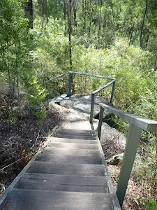
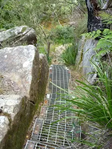
Then head down the steps (about 60 m long)
|
|
|
At the intersection of Larkin Street & The Rifleway continue straight, to head along The Rifleway (a footpath).
|
|
|
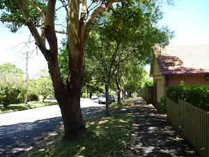
After another 185 m (at the intersection of Shirley Road & The Rifleway) turn left, to head along Shirley Road (a residential road).
|
|
|
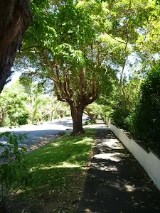
After another 205 m (at the intersection of Shirley Road & Alston Way) continue straight, to head along Shirley Road.
After another 290 m (at the intersection of Shirley Road & Glen Road) continue straight, to head along Shirley Road.
|
|
|
After another 65 m (at the intersection of Shirley Road & Toongarah Road) continue straight, to head along Shirley Road.
After another 7 m (from the Shirley Road) continue straight, to head along Shirley Road.
|
|
|

After another 135 m (at the intersection of Abingdon Road & Shirley Road) veer left, to head along Shirley Road.
|
|
|
After another 180 m (at the intersection of Longford Street & Shirley Road) turn right, to head along Longford Street.
|
|
|
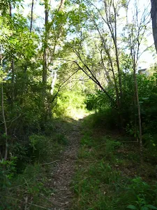
After another 110 m (from the Longford Street) turn left (a walking track).
|
|
|

After another 80 m (from the Valley View Close) veer right (a steps).
Then head down the concrete steps (about 65 m long)
|
|
|
After another 2 m continue straight.
After another 210 m continue straight.
|
|
|
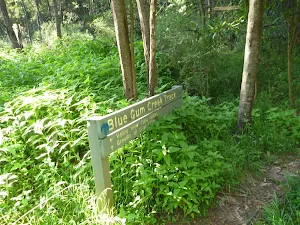
After another 155 m (from the Blue Gum Creek Walking Track) continue straight, to head along Blue Gum Creek Walking Track (a vehicle track).

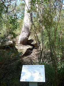
After another 25 m pass the "Chatswood Rifle Range" (25 m on your left).

After another 560 m head through/around the gate.
|
|
|
At the intersection of Lady Game Drive & Blue Gum Creek Walking Track turn left, to head along Lady Game Drive (a highway|tertiary).
|
|
|
After another 45 m (from the Lady Game Drive) turn right (a footpath).
|
|
|
After another 15 m (from the Rail to River Walk) continue straight.
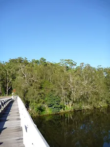
After another 6 m cross the bridge (about 60 m long)
|
|
|
Turn right.

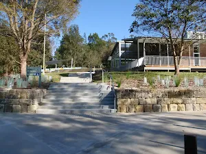
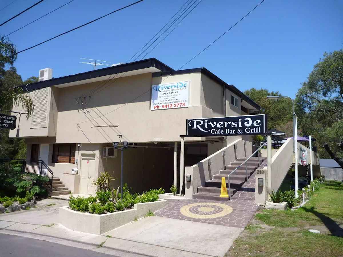
After another 150 m find the "Riverside Cafe Bar & Grill" (45 m on your left).
|
|
|
Continue straight.
After another 65 m continue straight.
|
|
|
After another 30 m continue straight.

After another 20 m pass the water tap (65 m on your left).

Then pass the BBQ (20 m on your left).

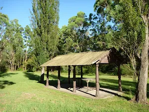
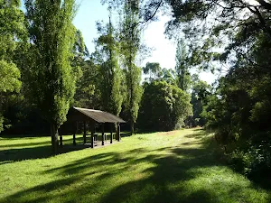
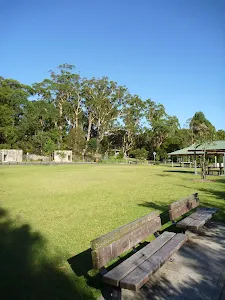
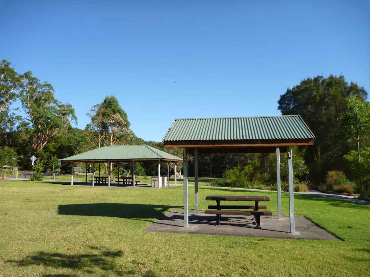
After another 10 m find the "Koonjeree Picnic Area" (5 m on your left).

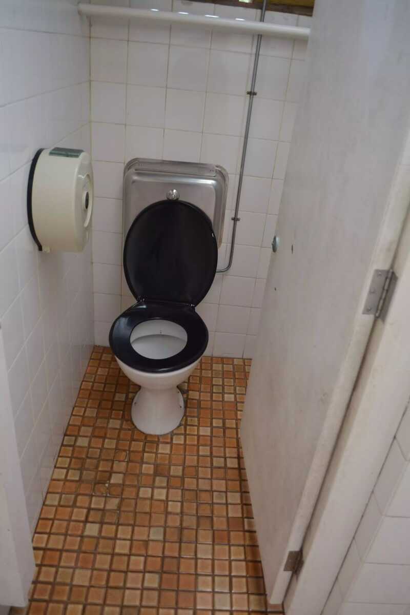
Then find the "Toilet" (65 m on your left).

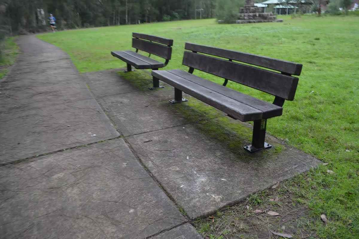
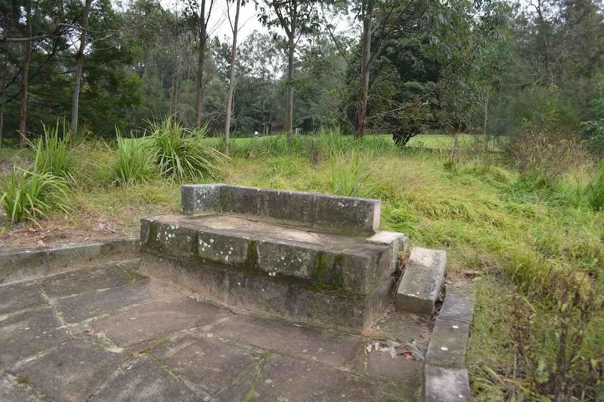
After another 35 m find the "Seat" (on your right).
|
|
|
After another 10 m turn right.

After another 8 m find the "Trip Hazard" (on your right).
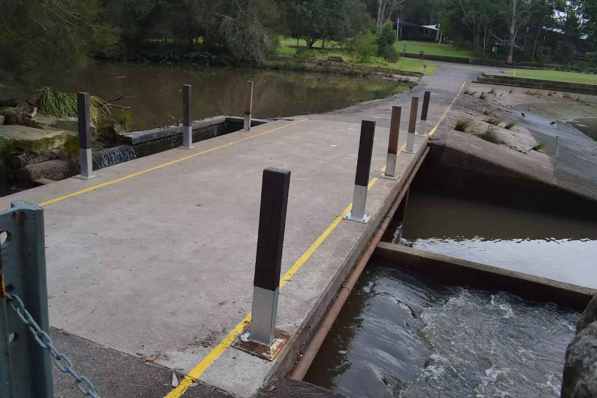
Then cross the bridge (about 10 m long)

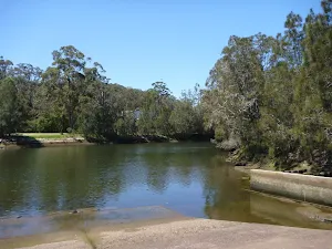
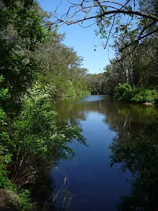
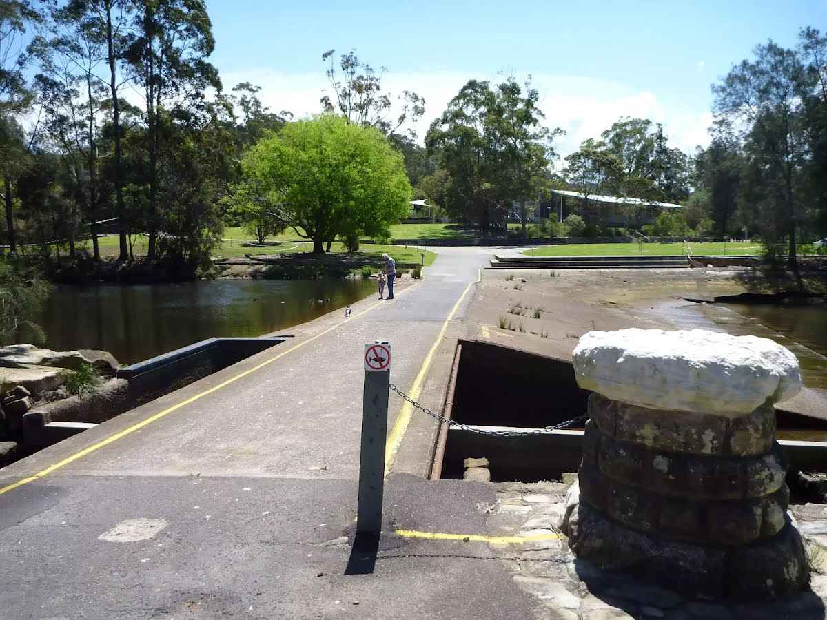
After another 60 m find the "Lane Cove Weir" (on your left).
After another 60 m find the "Seat" (9 m on your left).
|
|
|
Turn right.
After another 65 m find the "BBQ" (6 m on your left).
|
|
|
After another 4 m (from the Max Allen Road) turn left, to head along Max Allen Road (a vehicle track).
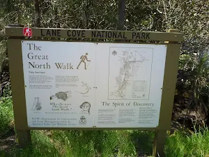
After another 25 m pass the "The Great North Walk" (15 m on your right).
After another 15 m find the "Picnic Table" (10 m on your left).
|
|
|
After another 15 m (from the Max Allen Road) continue straight, to head along Max Allen Road.
|
|
|
After another 105 m (from the Max Allen Road) continue straight, to head along Max Allen Road.
|
|
|
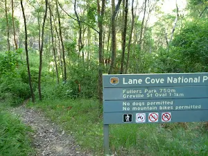
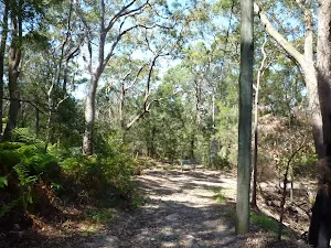
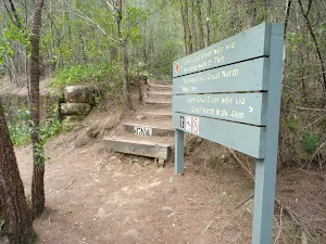
After another 55 m (at the intersection of The Great North Walk & Max Allen Road) continue straight, to head along The Great North Walk (a walking track).
After another 25 m pass the "Great North Walk" (on your right).
|
|
|
After another 265 m (from the The Great North Walk) continue straight, to head along The Great North Walk.
|
|
|
After another 135 m (at the intersection of The Great North Walk & Lane Cove Depot Road) veer right, to head along The Great North Walk (a walking track).
|
|
|
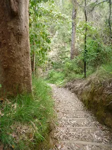
After another 410 m (from the The Great North Walk) continue straight, to head along The Great North Walk.
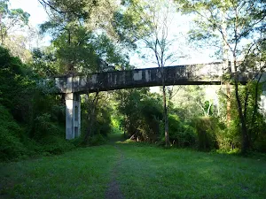
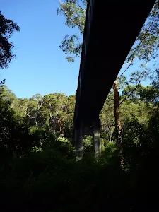
After another 315 m cross the bridge (about 5 m long)

After another 200 m cross the ford.
After another 130 m cross the bridge
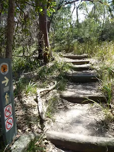
Then head down the 7 stone steps (about 3 m long)
After another 55 m head down the 26 steps (about 20 m long)
Then cross the bridge (about 8 m long)
|
|
|
After another 40 m (from the The Great North Walk) continue straight, to head along The Great North Walk.
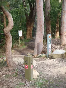
After another 65 m pass the sign (on your right).
After another 25 m cross the bridge (about 7 m long)
After another 30 m cross the bridge (about 3 m long)
After another 10 m cross the bridge (about 5 m long)
After another 115 m cross the bridge (about 15 m long)

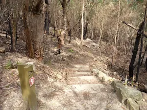
After another 8 m head up the 11 steps (about 8 m long)

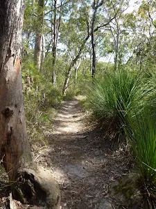
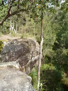
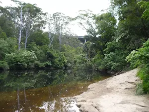
After another 760 m come to the viewpoint.
After another 325 m cross the bridge (about 4 m long)
After another 100 m come to the viewpoint.

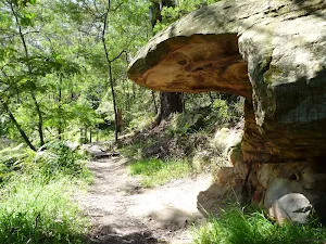
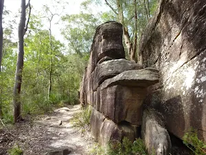
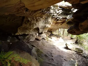
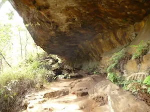
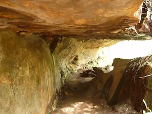
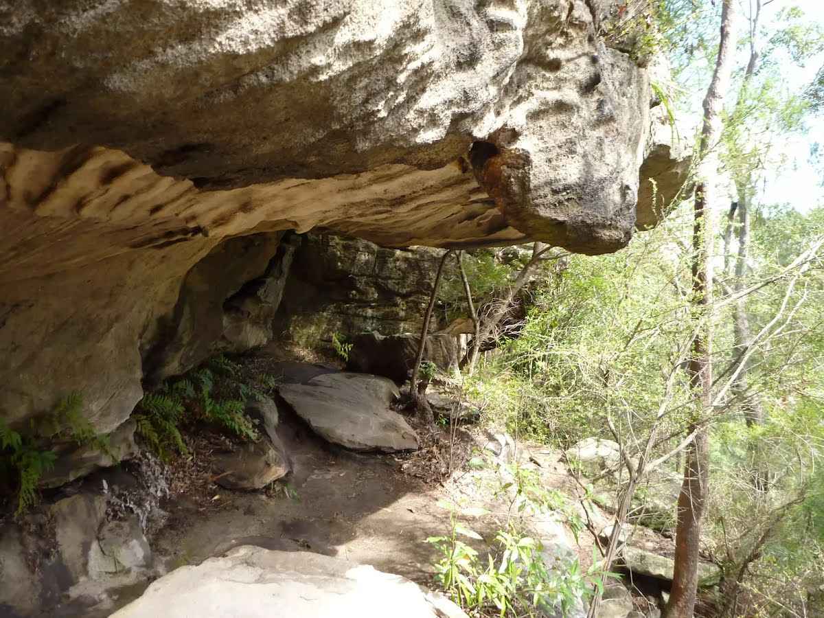
After another 190 m find the "Sandstone caves" (15 m on your left).
Then cross the ford.
After another 215 m head up the 5 steps (about 2 m long)
|
|
|
After another 1 m (from the The Great North Walk) turn left, to head along The Great North Walk.
After another 50 m pass the sign (on your right).
|
|
|
After another 45 m (from the The Great North Walk) continue straight, to head along The Great North Walk.
After another 130 m cross the ford.
From the The Great North Walk continue straight, to head along The Great North Walk.
|
|
|
The starting point of an optional sidetrip. An optional side trip to Blue Hole. To start this optional side trip veer left here. On returning from this side trip turn left when you get back to this intersection. Details below.
After another 70 m (from the The Great North Walk) continue straight, to head along The Great North Walk.
|
|
|
After another 115 m (from the The Great North Walk) continue straight, to head along The Great North Walk.
After another 60 m pass the sign (9 m on your left).
|
|
|
After another 15 m (from the The Great North Walk) turn right.
|
|
|

After another 45 m turn sharp right.
After another 9 m cross the bridge (about 185 m long)
|
|
|
After another 100 m continue straight.
After another 215 m continue straight.
|
|
|
After another 60 m continue straight.
|
|
|
After another 8 m (from the Fontenoy Road) continue straight.
After another 15 m continue straight.
|
|
|
After another 135 m (from the Lane Cove Road Offramp) continue straight.
|
|
|
After another 125 m (from the M2 Hills Motorway Onramp) continue straight.
|
|
|
After another 140 m turn left.
|
|
|
After another 35 m turn right.
|
|
|
After another 100 m continue straight.
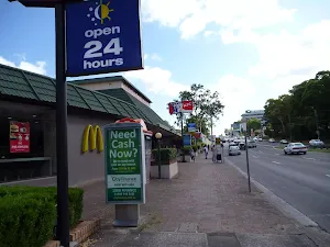
After another 75 m pass the "McDonald's" (25 m on your left).
24/7
After another 30 m pass the "KFC" (20 m on your left).
Su-Th 10:00-22:30
Fr,Sa 10:00-23:00
After another 30 m pass the "Go Hun" (15 m on your left).
|
|
|
After another 130 m continue straight.
|
|
|
After another 30 m continue straight.
|
|
|

After another 15 m come to the end.
|
|
|
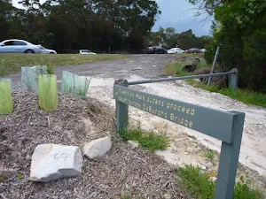
From the The Great North Walk Start (a walking track).
|
|
|
Continue another 45 m to find Blue Hole at the end.
"Blue Hole".

"Blue Hole".

Turn around and retrace your steps back the 45 m to the main route.
|