| Turn map |
Directions & comments |
|
|

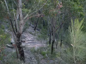
Start.

There is a car park (about 30 m back from the start).

After another 40 m turn right.

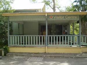
Find the toilet at the start.

After another 20 m turn left.
|
|
|
After another 35 m (from the Wilson Parade) turn right, to head along Wilson Parade (a highway|tertiary).
After another 15 m (from the Wilson Parade) turn left (a walking track).

After another 20 m pass the "Heathcote To Waterfall Info Board" (9 m on your right).
|
|
|

After another 70 m continue straight.
|
|
|
After another 205 m (from the East Heathcote Trail) continue straight (a walking track).
|
|
|
After another 190 m (from the Karloo Track) continue straight, to head along Karloo Track.
|
|
|
After another 420 m (from the Karloo Track) continue straight, to head along Karloo Track.
|
|
|
After another 1.5 km (at the intersection of Karloo Track & Kangaroo Creek Track) continue straight, to head along Karloo Track.

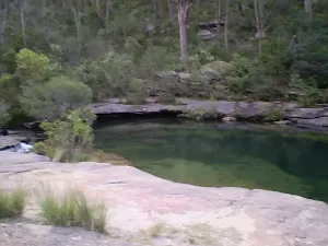
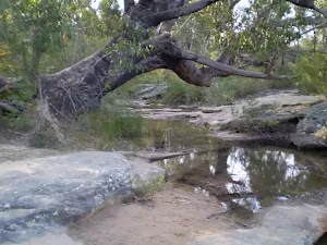
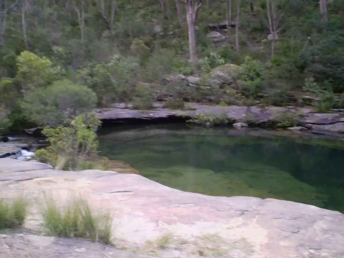
After another 25 m find the "Karloo Pool" (20 m on your left).
After another 25 m pass the sign.
|
|
|

At the intersection of Karloo Track & Bottle Forest Track veer right, to head along Karloo Track.
|
|
|
After another 345 m (from the Karloo Track) turn left, to head along Karloo Track.

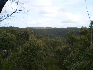
After another 950 m come to the viewpoint (15 m on your left).
After another 310 m come to the "Uloola Turrets" (25 m on your right).
After another 35 m come to the "Uloola Turrets" (35 m on your left).
|
|
|
From the Karloo Track continue straight, to head along Karloo Track.
After another 580 m pass the "Uloola Falls" (7 m on your left).

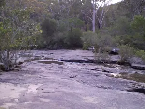
After another 5 m cross the ford.
|
|
|
At the intersection of Karloo Track & Uloola Brook continue straight, to head along Karloo Track.

After another 10 m find the "Ulloola Falls Campsite" (10 m on your left).
After another 35 m pass the sign.
Then pass the "Uloola Falls Toilet" (about 15 m ahead).
|
|
|

At the intersection of Uloola Track & Uloola Trail turn sharp left, to head along Uloola Track.
After another 20 m pass the sign.
|
|
|
After another 670 m (at the intersection of Uloola Track & Peach Trees Trig Station Track) continue straight, to head along Uloola Track.
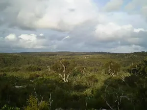
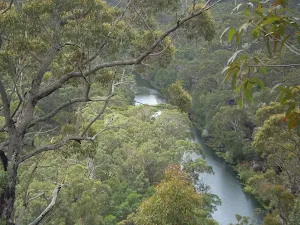
After another 1.6 km come to the viewpoint (30 m on your right).
|
|
|
After another 490 m (at the intersection of Uloola Track & Wattle Forest Track) continue straight, to head along Uloola Track.

After another 380 m pass the summit (9 m on your left).
|
|
|
After another 880 m (at the intersection of Robertsons Roundabout & Uloola Track) turn right, to head along Robertsons Roundabout.
|
|
|
After another 640 m (from the Robertsons Roundabout) veer right, to head along Robertsons Roundabout.

After another 120 m pass the shelter (40 m on your left).

After another 25 m find the "Currawong Flats" (10 m on your left).
After another 45 m pass the "Currawong Flat" (25 m on your right).
|
|
|

After another 45 m (from the Engadine Track) veer left, to head along Engadine Track.

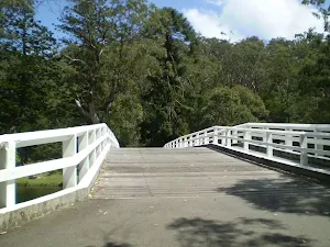
After another 40 m cross the bridge (about 55 m long)
|
|
|
At the intersection of Lady Carrington Drive & Engadine Track turn left, to head along Lady Carrington Drive.
After another 75 m pass the car park (on your left).
|
|
|
From the Lady Carrington Drive veer right, to head along Lady Carrington Drive.

Then pass the water tap (20 m on your left).
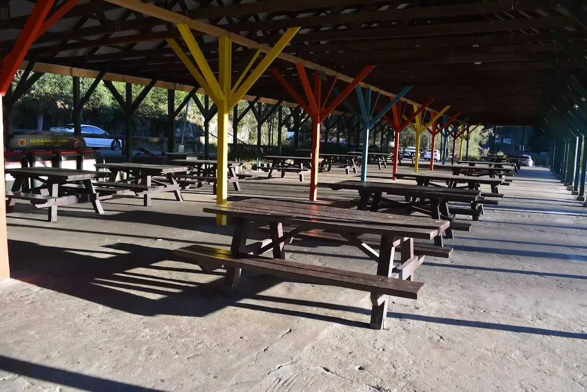
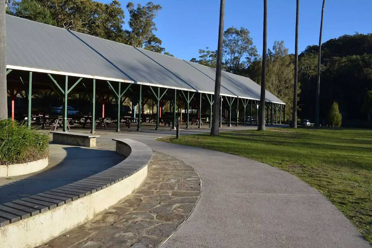
After another 40 m find the "Commonwealth Pavilion" (10 m on your left).
After another 6 m find the "Picnic Table" (15 m on your left).
Then find the "Ironbark Flat Picnic Area" (40 m on your left).

After another 20 m find the "Seat" (30 m on your left).
Then pass the shelter (6 m on your left).

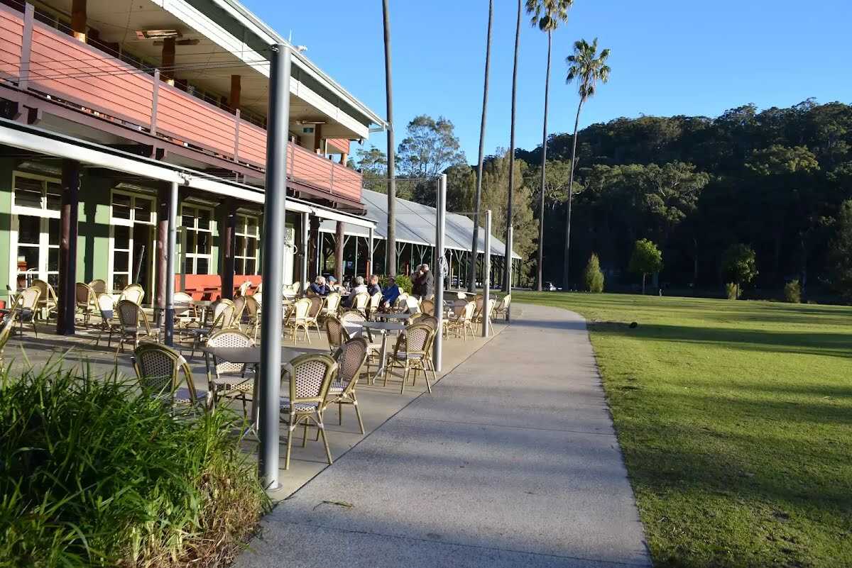
After another 9 m find the "Audley Cafe" (15 m on your left).

After another 15 m come to "Audley".

A gate.
sunrise-sunset
About 10 m past the end is "Royal National Park Visitor Center".
About 20 m past the end is "Audley Dancehall - Disabled".
Then find the "Audley Picnic area" (20 m on your left).
About 30 m past the end is "Ironbark Flat".
|
|
|

Continue another 0 m to find at the intersection of Lady Carrington Drive & Sir Bertram Stevens Drive at the end.
|