| Start | (-37.1044837,149.9512282) |
| Mode | Car (A park entry fee is required for driving into the park.) |
| Directions | From Princes Highway, A1
|
| Finish | (-37.2595414,150.0479313) |
| Mode (end) | Car Shuttle Car (A park entry fee is required for driving into the park.) |
| Turn map | Directions & comments |
|---|---|
 |
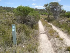
The starting point of an optional sidetrip. An optional side trip to Boyd Tower Intersection. To start this optional side trip turn left here. On returning from this side trip turn left when you get back to this intersection. Details below.
|
 |
|
 |
|
 |
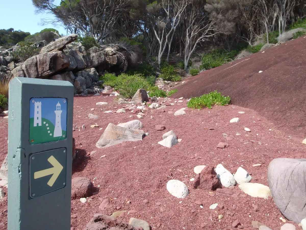
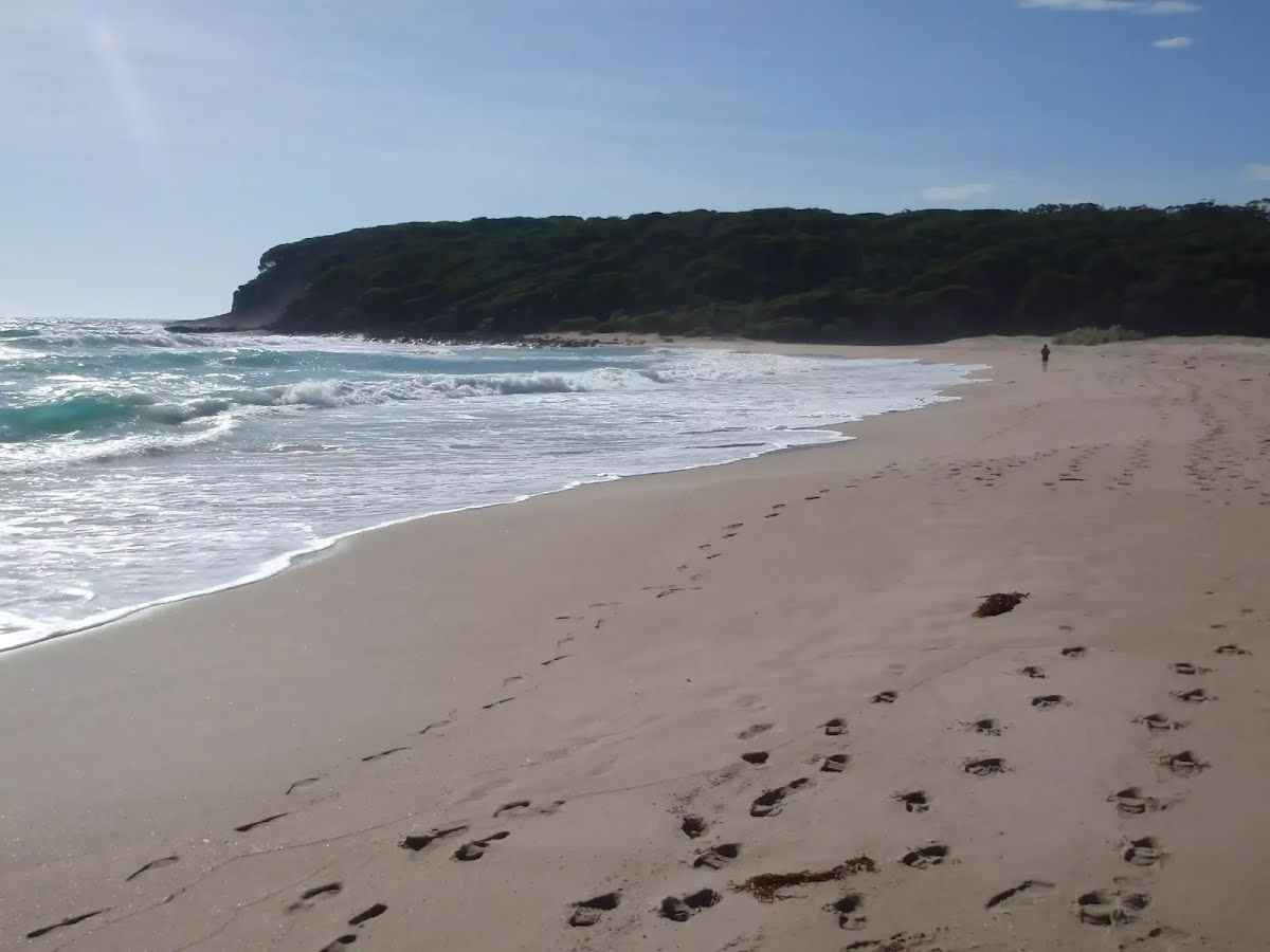
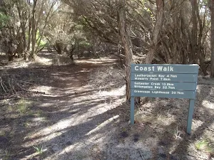
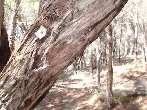
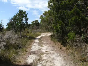
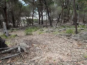
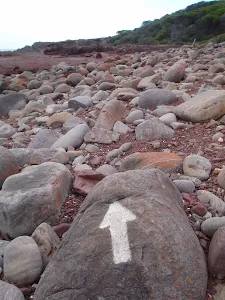
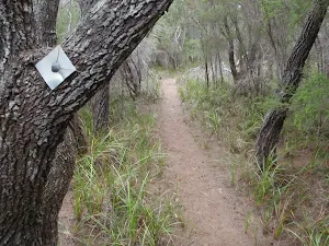
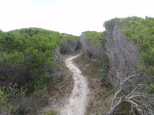
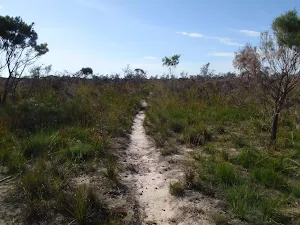
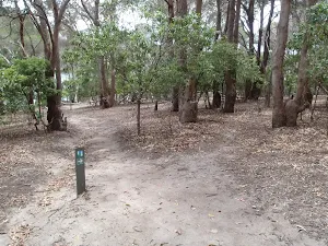
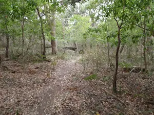
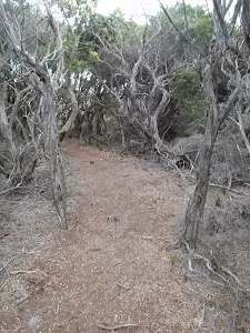
After another 120 m (from the Light to Light Walk) continue straight, to head along Light to Light Walk (a walking track).
|
 |
|
 |
|
 |
|
 |
|
 |
|
 |
|
 |
|
 |
|
 |
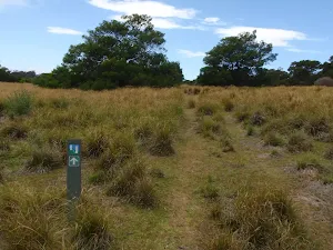
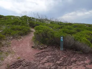
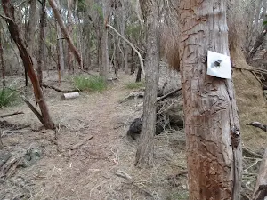
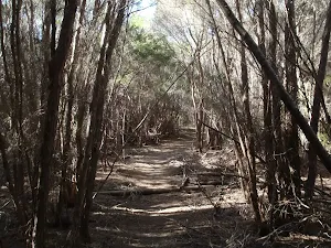
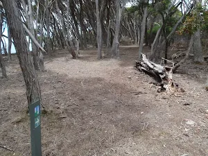
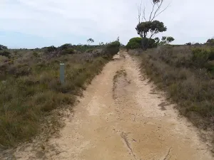
After another 160 m (from the Light to Light Walk) continue straight, to head along Light to Light Walk.
|
 |
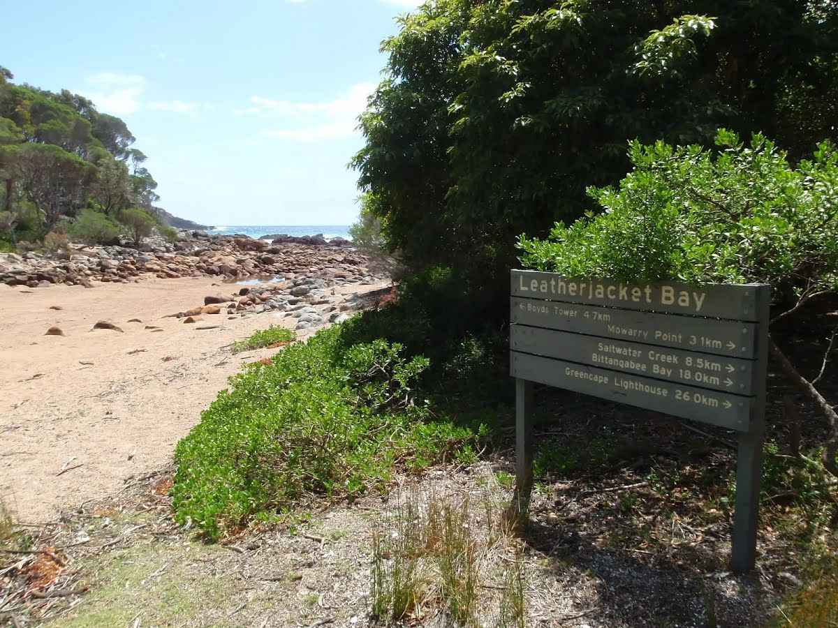
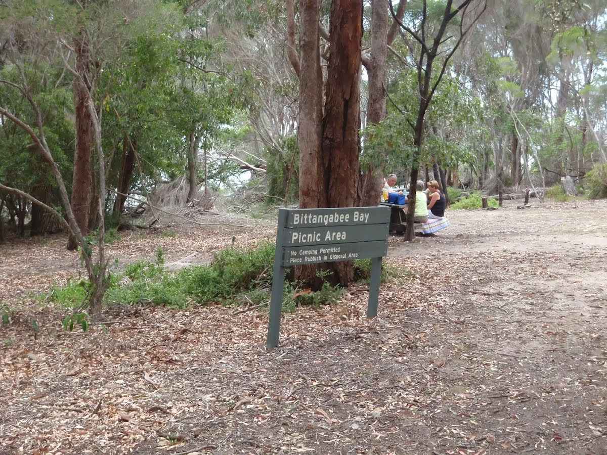
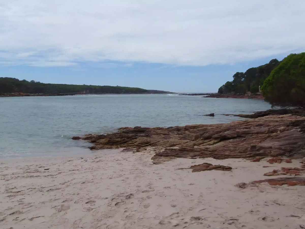
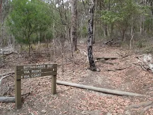
The starting point of an optional sidetrip. An optional side trip to Bittangabee Beach. To start this optional side trip turn left here. On returning from this side trip veer left when you get back to this intersection. Details below.
|
 |
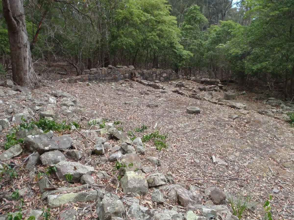
The starting point of an optional sidetrip. An optional side trip to Int. Light to Light Trk and Bittangabee Storehouse Trail. To start this optional side trip veer left here. On returning from this side trip turn sharp left when you get back to this intersection. Details below.
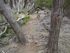
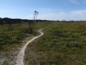
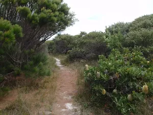
After another 240 m (from the Light to Light Walk) continue straight, to head along Light to Light Walk.
|
 |
|
 |
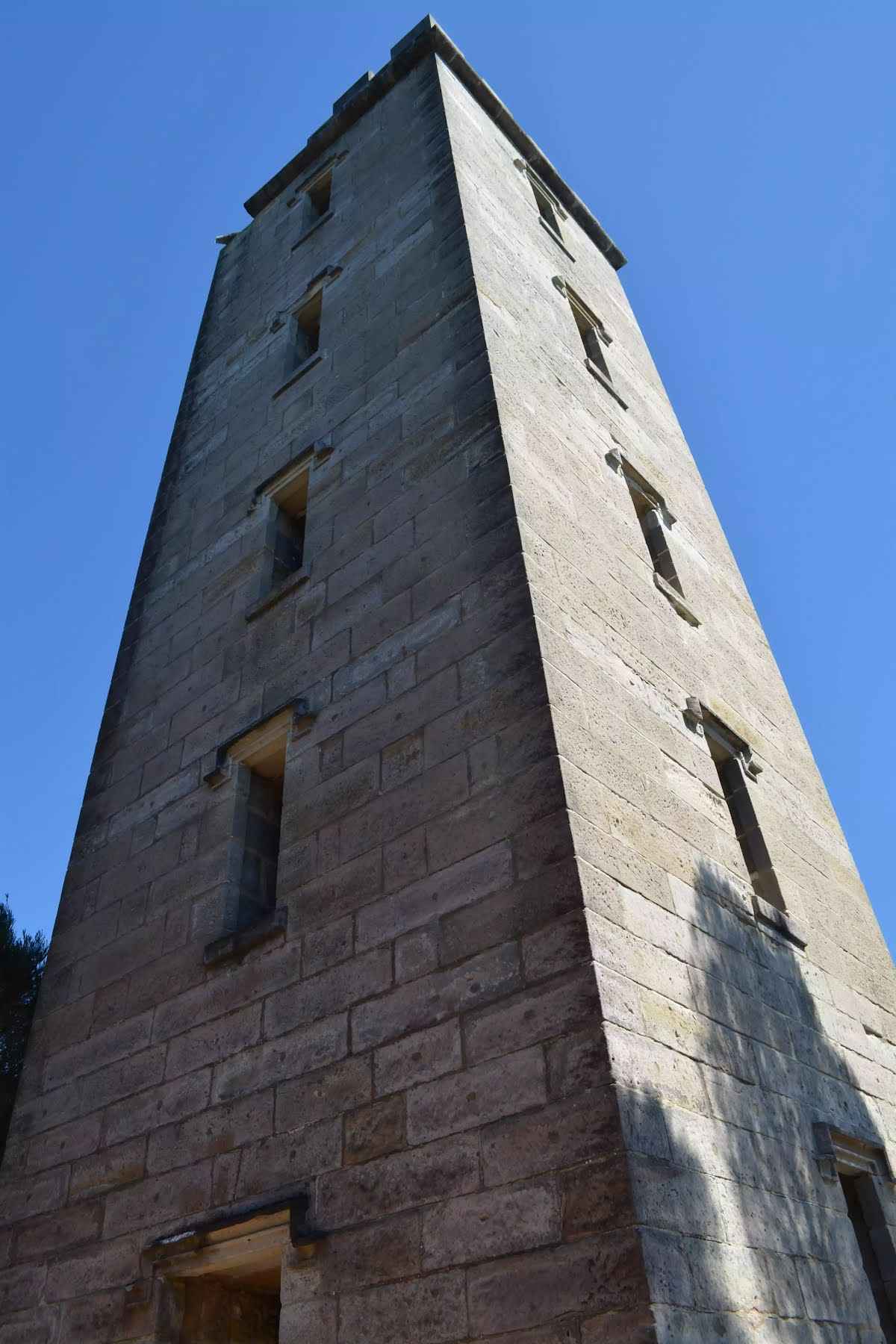
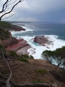
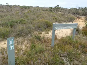
The starting point of an optional sidetrip. An optional side trip to Pulpit Rock. To start this optional side trip turn left here. On returning from this side trip turn left when you get back to this intersection. Details below.
|
 |
After another 1.3 km (from the Light to Light Walk) continue straight, to head along Light to Light Walk.
|
 |
|
 |
|
 |
|
 |
|
 |
|
 |
|
 |
|

|
|
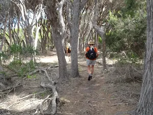
Class 4/6 Hard track |
|---|---|
| Length | 30.6 km |
| Time | 12 h, 2 days to 3 days |
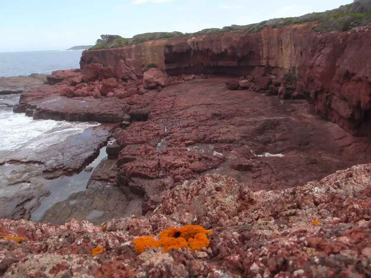
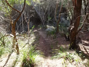
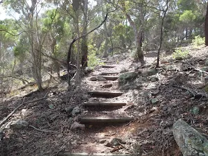
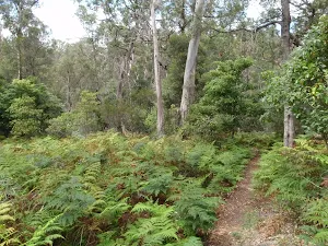
| Quality of track | Rough track, where fallen trees and other obstacles are likely (4/6) |
| Gradient | Very steep (4/6) |
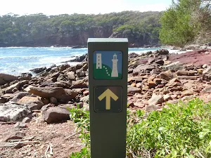
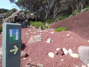
| Signage | Minimal directional signs (4/6) |
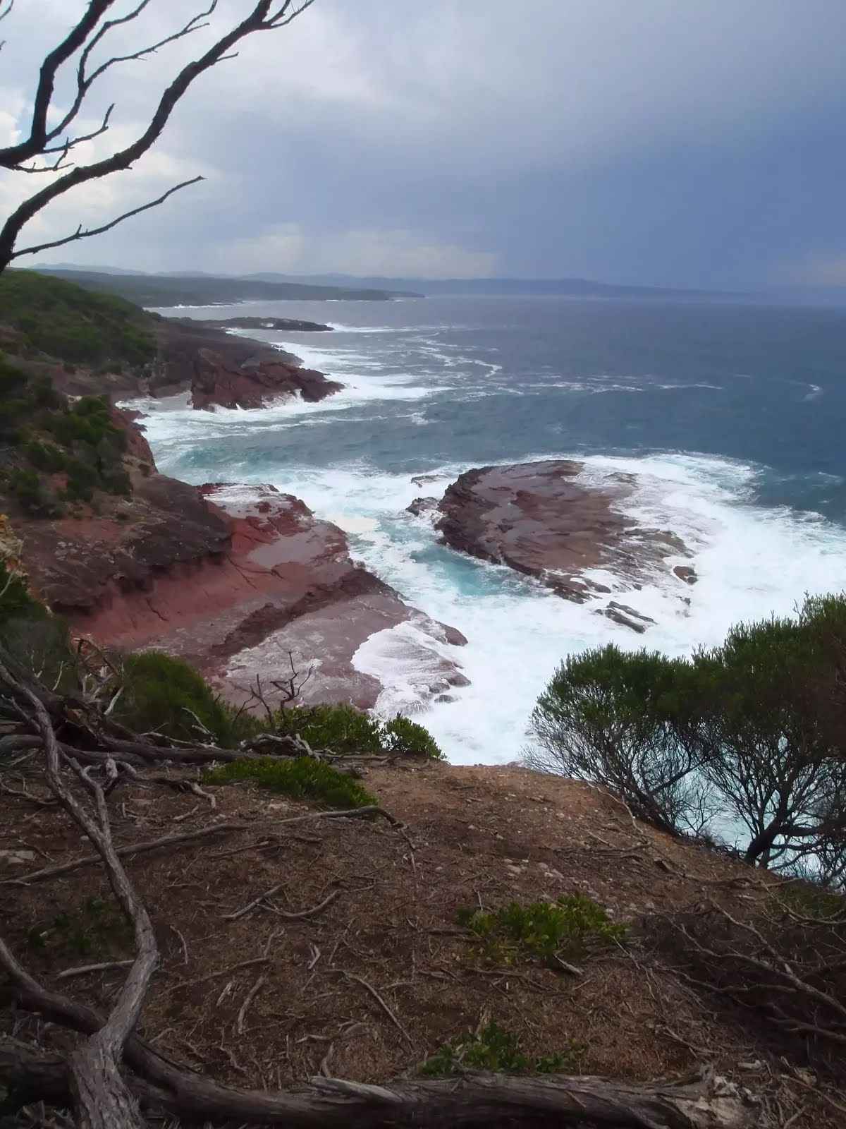
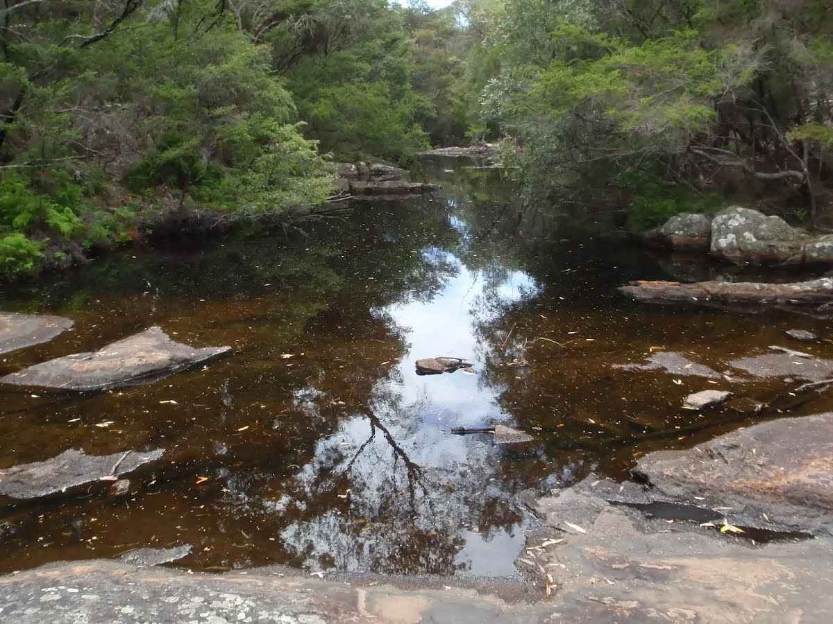
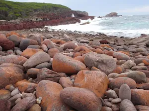
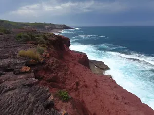
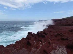
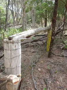
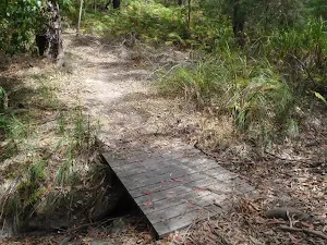
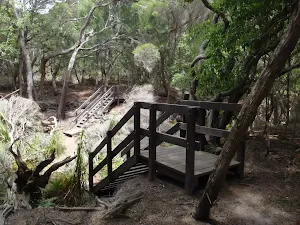
| Infrastructure | Limited facilities (such as cliffs not fenced, significant creeks not bridged) (4/6) |
| Experience Required | No experience required (1/6) |
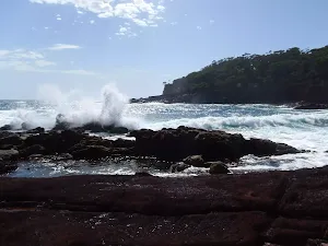
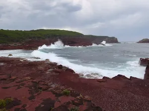
| Weather | Storms may impact on navigation and safety (3/6) |
| Item | From Start | Name & link to notes |
|---|---|---|
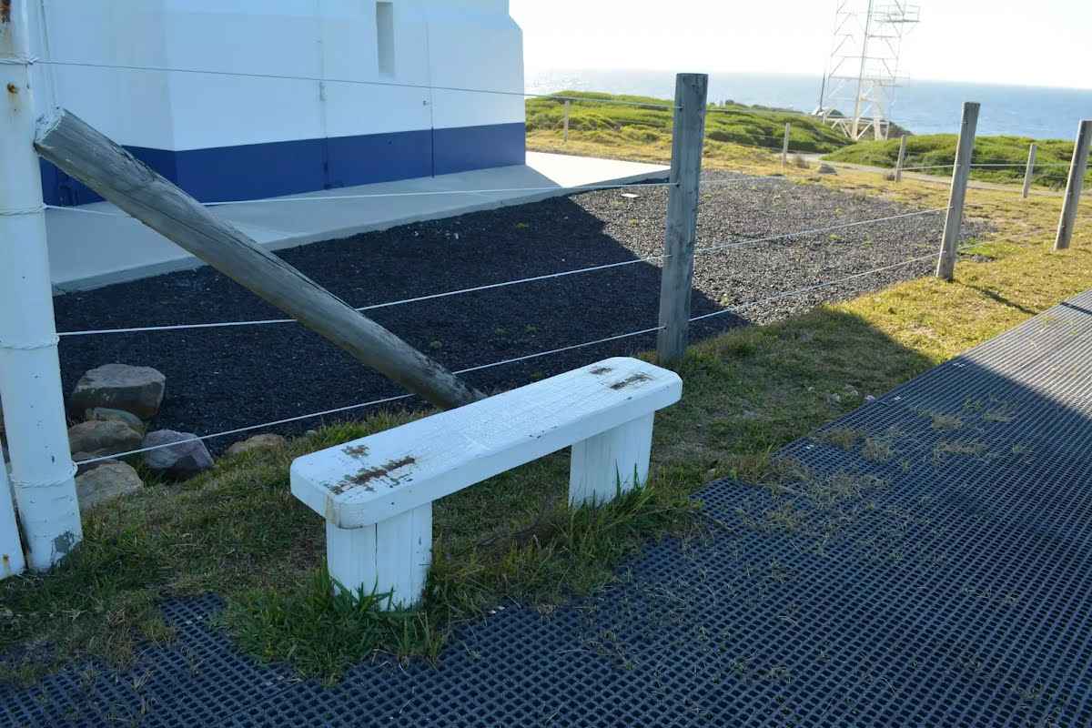
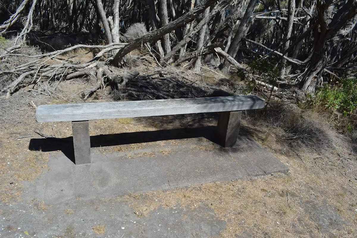
Seat
| 0 m + 420 m | Seat |
Seat
| 0 m + 260 m | Seat |
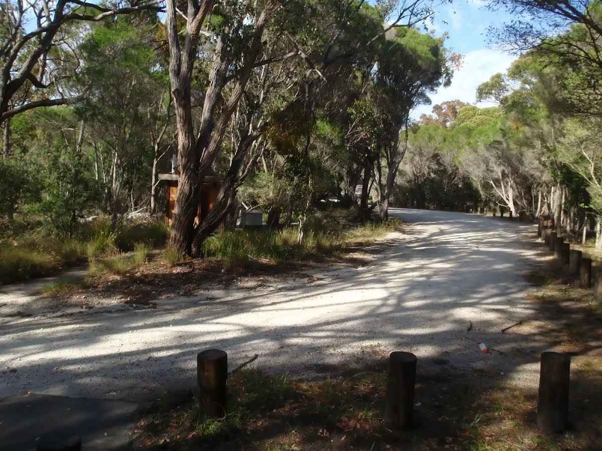
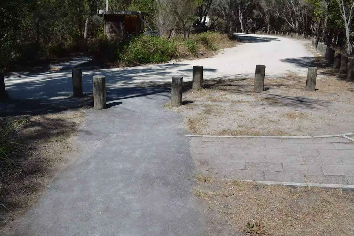
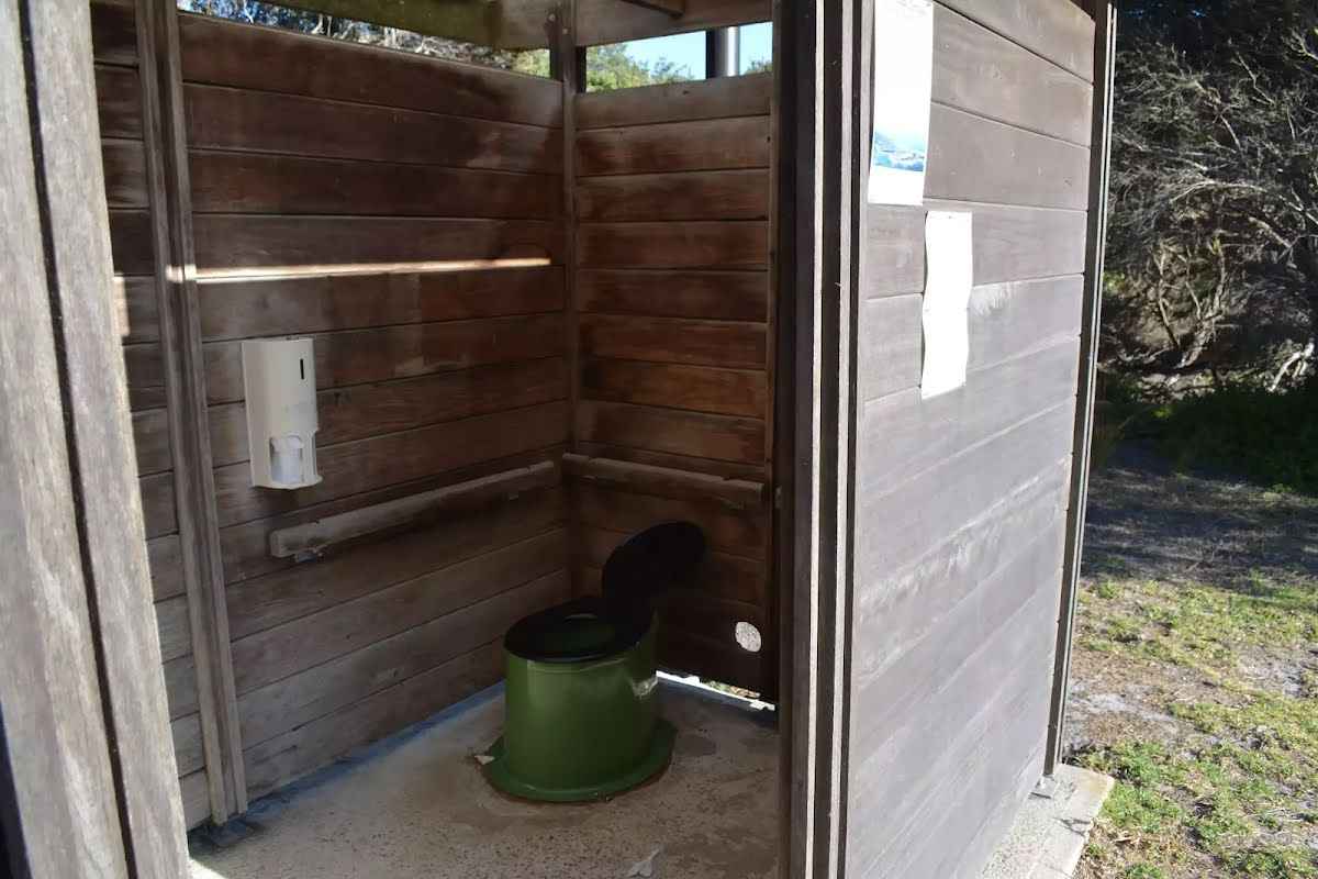
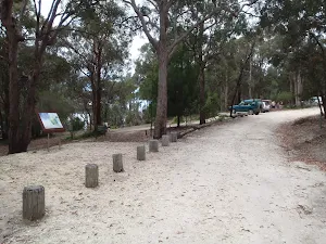
Entity|toilet
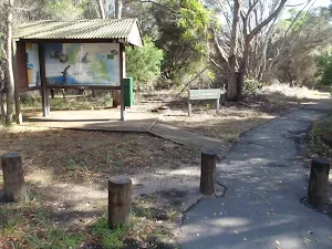
| 30 m | Toilet |
Toilet
| 13.3 km | [toilet] |
Toilet
| 26.8 km + 630 m | [toilet] |
Toilet
| 29.8 km | [toilet] |
Entity|toilet
| 29.8 km | Toilet |
Seat
| 30.1 km | Seat |