| Turn map |
Directions & comments |
|
|

Start.

Find the pay phone at the start.

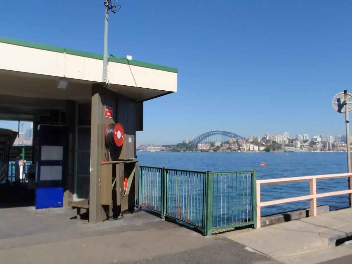
Find the Cremorne Point Ferry Wharf at the start.

Find the Sophies Lookout at the start.

After another 15 m pass the "Public Toilet Cremorne Reserve" (6 m on your left). This toilet is wheelchair accessible.
24/7
This toilet is male and female.

After another 15 m pass the playground (6 m on your left).

After another 6 m pass a seat (15 m on your left)., has a backrest.

After another 125 m pass the sign (on your left).

After another 7 m pass the picnic table (10 m on your right).
|
|
|

After another 20 m continue straight.

After another 10 m head down the steps (about 15 m long)
Then pass a seat (on your left)., has a backrest.
Then pass the sign (4 m on your left).
Then find the "Robertsons Point Lookout" (on your left).

After another 10 m pass the "Robertsons Point" (about 20 m ahead).
|
|
|
After another 25 m continue straight.
|
|
|

After another 195 m veer right.
After another 55 m pass a seat (on your left)., has a backrest.
After another 45 m pass the playground (6 m on your right).
After another 190 m pass the sign (on your right).
After another 30 m pass the picnic table (10 m on your left).
After another 65 m pass the sign (4 m on your right).
|
|
|
From the Jasmine Walk continue straight.

After another 10 m pass the water tap (on your left).
Then pass the sign (10 m on your right).

After another 55 m pass the "Cremorne Point" (25 m on your left).
|
|
|
After another 90 m (from the Cremorne Point Foreshore Walk) continue straight, to head along Cremorne Point Foreshore Walk.

Then head through the bollard.
After another 8 m (from the Cremorne Point Foreshore Walk) continue straight, to head along Cremorne Point Foreshore Walk.
After another 135 m pass a seat (7 m on your left)., has a backrest.
After another 75 m pass the water tap (on your left).
Then pass a seat (on your left)., has a backrest.
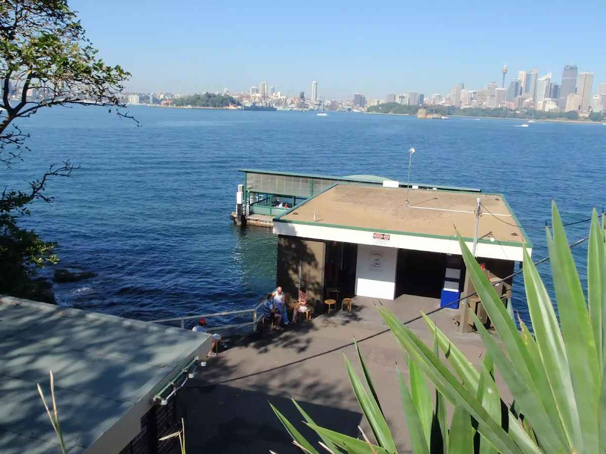
After another 55 m find the "Maccallum Pool" (25 m on your left).
After another 45 m pass the "The Rock Pool that Grew" (6 m on your left).

Then pass the emergency call device (on your left).
After another 60 m pass a seat (7 m on your left)., has a backrest.
After another 20 m pass a seat (7 m on your left)., has a backrest.
After another 280 m pass the park (10 m on your right).
After another 75 m pass the playground (60 m on your right).
After another 8 m (from the Cremorne Point Foreshore Walk) continue straight, to head along Cremorne Point Foreshore Walk.
After another 195 m pass the sign (on your left).
Then pass a seat (on your left)., has a backrest.
After another 35 m head down the 16 concrete steps (about 15 m long)
After another 105 m pass the sign (on your right).
|
|
|

At the intersection of Bogota Avenue & Cremorne Point Foreshore Walk turn left, to head along Bogota Avenue (a residential road).
After another 15 m find the "Bogota Ave Lookout" (7 m on your left).
|
|
|
After another 105 m (at the intersection of Honda Road & Bogota Avenue) turn left, to head along Honda Road.
|
|
|
After another 110 m (at the intersection of Shellcove Road & Honda Road) turn left, to head along Shellcove Road.
|
|
|
After another 185 m (at the intersection of Shellcove Road & Billong Street) continue straight, to head along Shellcove Road.
|
|
|
After another 125 m (at the intersection of Hollowforth Avenue & Shellcove Road) veer right, to head along Hollowforth Avenue.
|
|
|

After another 85 m (at the intersection of Kurraba Road & Hollowforth Avenue) turn right, to head along Kurraba Road.
|
|
|
After another 25 m (at the intersection of Spains Wharf Road & Kurraba Road) turn left, to head along Spains Wharf Road.
After another 160 m find the "Nutcote House" (on your left).
After another 75 m pass the "Wallaringa" (60 m on your right).
|
|
|
At the intersection of Lower Wycombe Road & Wallaringa Avenue turn left, to head along Lower Wycombe Road (a vehicle track).
|
|
|
After another 190 m (at the intersection of Hayes Street & Lower Wycombe Road) turn right, to head along Hayes Street (a residential road).
|
|
|
After another 10 m (at the intersection of Manns Avenue & Hayes Street) turn left, to head along Manns Avenue.
After another 125 m head down the steps (about 6 m long)
After another 45 m pass the park (50 m on your left).
|
|
|
From the Manns Avenue turn left (a footpath).
|
|
|
After another 40 m (from the Ben Boyd Road) continue straight.
|
|
|

After another 55 m veer left.
Then head down the steps (about 80 m long)

After another 20 m pass the car park (35 m on your right).
Then pass a seat (60 m on your right)., has a backrest.
|
|
|
Continue straight.
After another 20 m pass the water tap (on your left).
Then find the "Anderson Park" (on your left).
After another 6 m continue straight.
After another 40 m pass a seat (6 m on your left)., has a backrest.
After another 15 m pass the water tap (on your left).

After another 25 m cross the bridge (about 9 m long)
|
|
|
Continue straight.
|
|
|
After another 85 m (from the Hipwood Street) turn left, to head along Hipwood Street (a residential road).
|
|
|
After another 9 m (at the intersection of Hipwood Street & Adderstone Avenue) veer right, to head along Hipwood Street.
|
|
|
After another 80 m (from the Hipwood Street) turn left (a footpath).
After another 70 m pass the car park (about 30 m ahead).
|
|
|
Turn left.
|
|
|
After another 55 m continue straight.
After another 5 m pass the "Oberon Park" (on your left).
|
|
|
After another 5 m turn left.
After another 7 m pass the car park (7 m on your right).

After another 6 m head up the steps (about 20 m long)
After another 40 m head up the steps (about 3 m long)
Then head up the steps (about 3 m long)

Then pass the BBQ (15 m on your right).
Then pass the water tap (15 m on your right).
Then head up the steps (about 3 m long)
|
|
|
After another 25 m continue straight.
After another 35 m pass the car park (50 m on your right).
|
|
|
Turn left.
After another 55 m pass the "Torpedo Factory" (45 m on your right).
After another 75 m pass the water tap (15 m on your right).
Then pass a seat (9 m on your right).
Then pass the "Wirra Birra Park" (15 m on your right).
After another 45 m pass the "A neutral harbour" (25 m on your right).

After another 75 m head through/around the gate.
Then pass the toilet (15 m on your right). This toilet is wheelchair accessible., equipped with a hand-washing basin.
Then pass the playground (8 m on your right).
After another 20 m pass a seat (on your right)., has a backrest.
After another 25 m pass the shelter (8 m on your right).
Then pass a seat (on your right)., has a backrest.
After another 25 m pass the shelter (7 m on your right).
After another 20 m pass a seat (on your right)., has a backrest.
After another 40 m pass a seat (on your right)., has a backrest.
|
|
|
Turn right.
Then pass the shelter (on your left).
After another 15 m pass a seat (4 m on your left)., has a backrest.
|
|
|
After another 3 m veer left.
After another 10 m pass the water tap (15 m on your right).
|
|
|
Continue straight.
|
|
|
After another 10 m continue straight.
After another 15 m pass a seat (15 m on your right)., has a backrest.
After another 150 m pass the toilet (20 m on your right). This toilet is wheelchair accessible., equipped with a hand-washing basin.

After another 30 m pass the "Torpedo Mark VIII MOD 4" (35 m on your right).
Then pass the "Sub Base Platypus" (15 m on your right).
Then pass the water tap (25 m on your right).
|
|
|
From the Stannards Place turn left, to head along Stannards Place (a service road).
|
|
|
After another 45 m (from the Stannards Place) turn right (a footpath).
After another 6 m head through the bollard.
After another 75 m pass the "Milson Park" (35 m on your left).
|
|
|
Turn left.
Then head down the steps (about 20 m long)
Then pass the picnic table (10 m on your right)., has a backrest.
After another 10 m pass the water tap (20 m on your right).
|
|
|
From the Bradly Avenue veer left (a footpath).
After another 9 m pass the "Miss Gladys Carey Reserve" (4 m on your right).
After another 5 m cross the bridge (about 3 m long)
After another 35 m pass the toilet (35 m on your right). This toilet is wheelchair accessible., equipped with a hand-washing basin.
After another 10 m pass the picnic table (60 m on your right).
After another 15 m pass a seat (30 m on your right)., has a backrest.
After another 30 m find the "Milson Park" (on your on).
Then pass a seat (30 m on your right)., has a backrest.
After another 15 m pass the toilet (20 m on your right). This toilet is wheelchair accessible., equipped with a hand-washing basin.
Then head through/around the gate.
After another 15 m pass a seat (30 m on your right)., has a backrest.
Then pass the picnic table (35 m on your right).
|
|
|
After another 3 m (from the McDougall Street) turn left, to head along McDougall Street (a residential road).
After another 30 m (from the McDougall Street) continue straight, to head along McDougall Street.
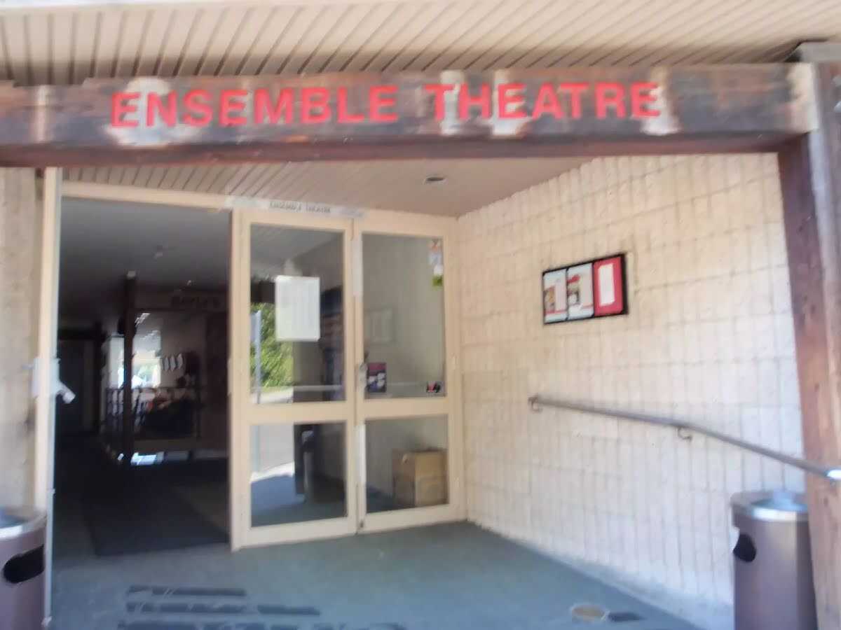
After another 20 m find the "Ensemble Theatre" (7 m on your left).
|
|
|
After another 35 m (at the intersection of Willoughby Street & McDougall Street) turn left, to head along Willoughby Street.
After another 40 m pass the "Wrixton Park" (about 15 m ahead).
|
|
|
At the intersection of Elamang Avenue & Willoughby Street turn right, to head along Elamang Avenue.
After another 345 m pass the "Colindia Reserve" (25 m on your left).
After another 170 m pass a seat (60 m on your left)., has a backrest.
Then pass the car park (35 m on your left).
|
|
|

At the intersection of Elamang Avenue & Peel Street turn around, to head along Elamang Avenue.
After another 60 m pass the car park (60 m on your left).
|
|
|
From the Peel Street turn left (a service road).
|
|
|
After another 6 m turn right.
|
|
|
After another 65 m turn left.
After another 90 m pass a seat (on your left)., has a backrest.
Then pass the pay phone (9 m on your right).
|
|
|
After another 7 m (from the Holbrook Avenue) continue straight.
|
|
|
After another 150 m turn left.
|
|
|
After another 50 m (from the Plunkett Street) turn right, to head along Plunkett Street (a residential road).
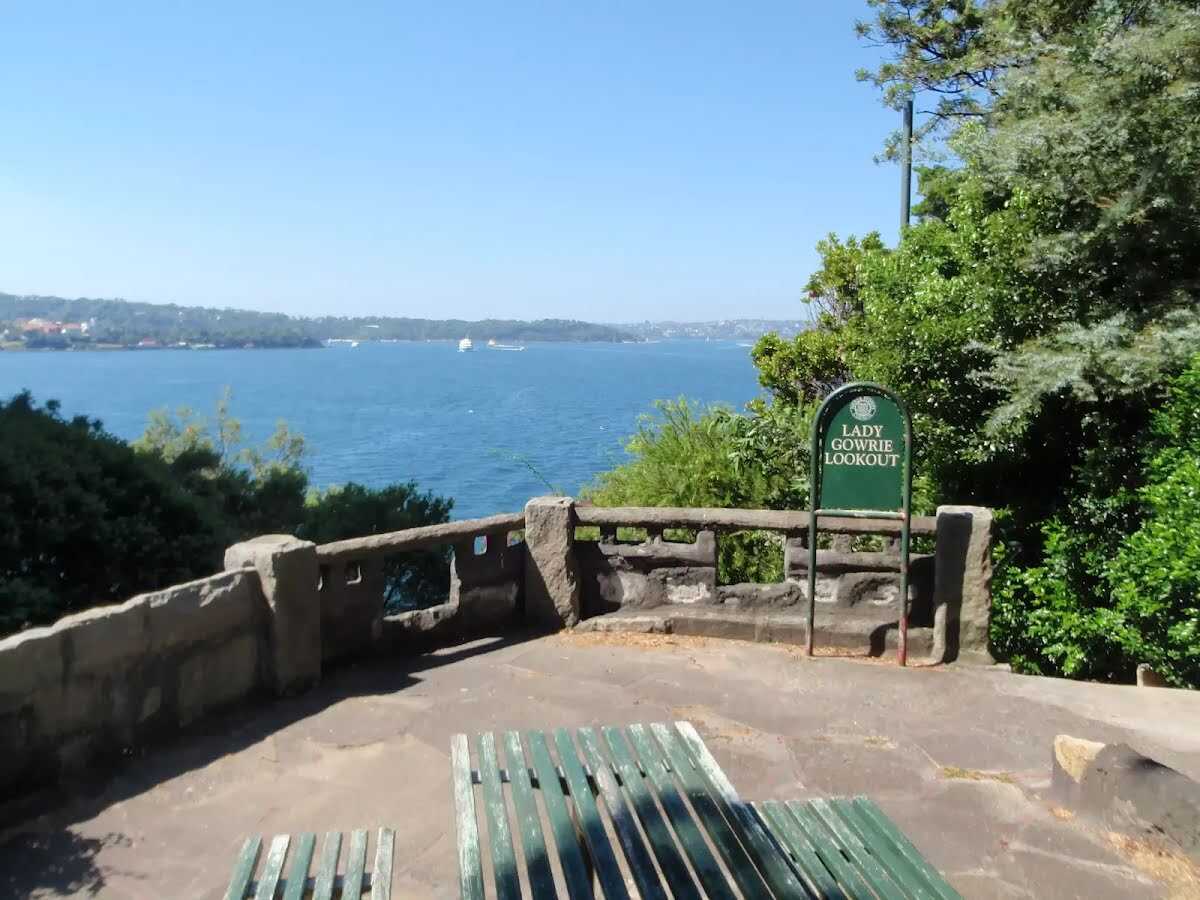
After another 40 m pass the "Lady Gowrie Lookout" (40 m on your left).
|
|
|
At the intersection of Kirribilli Avenue & Plunkett Street turn left, to head along Kirribilli Avenue.
After another 40 m head down the steps (about 105 m long)
Then find the "Lady Gowrie Lookout" (on your on).
|
|
|
After another 130 m (at the intersection of Kirribilli Avenue & Plunkett Street) continue straight, to head along Kirribilli Avenue.

After another 15 m find the "Kirribilli House" (8 m on your left).
After another 35 m (from the Kirribilli Avenue) continue straight, to head along Kirribilli Avenue.
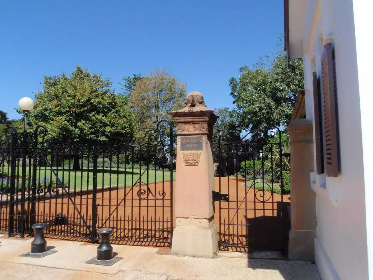
Then find the "Admiralty House" (7 m on your left).
After another 4 m (at the intersection of Kirribilli Avenue & Carabella Street) continue straight, to head along Kirribilli Avenue.
|
|
|
After another 15 m (at the intersection of Mirradong Place & Kirribilli Avenue) turn left, to head along Mirradong Place (a footpath).
After another 40 m head down the steps (about 25 m long)
Then head down the steps (about 10 m long)
After another 25 m pass the "Beulah Street Reserve" (10 m on your left).
After another 90 m come to the viewpoint (60 m on your right).
|
|
|
From the Beulah Street turn left, to head along Beulah Street (a residential road).
|
|
|
After another 5 m (at the intersection of Waruda Street & Beulah Street) turn right, to head along Waruda Street.
After another 15 m pass a seat (30 m on your left)., has a backrest.
|
|
|
After another 65 m (at the intersection of Waruda Street & Waruda Avenue) continue straight, to head along Waruda Street.
After another 40 m pass the pay phone (35 m on your right).
|
|
|
After another 45 m continue straight.
After another 6 m head down the steps (about 90 m long)
Then find the "Dr Mary Booth Lookout" (on your on).
After another 25 m pass the picnic table (on your right).
After another 30 m pass a seat (15 m on your right)., has a backrest.
After another 35 m cross the bridge (about 3 m long)
After another 20 m cross the bridge (about 7 m long)
After another 55 m cross the bridge (about 20 m long)
After another 10 m pass the park (20 m on your right).
"Copes Lookout".
About 20 m past the end is a shelter.
About 55 m past the end is a car park.
A water tap.
|
|
|

Continue another 0 m to find from the Jefferys Street at the end.
|