| Start | (-34.0880118,151.0085082) |
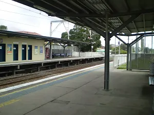
| Mode | Car (There is free parking available.) Train |
| Directions | From Railway Parade, A1
|
| Finish | (-34.0676354,151.0150374) |
| Mode (end) | Car Shuttle Car (There is free parking available.) Train |
| Turn map | Directions & comments |
|---|---|
 |
|
 |
|
 |
|
 |
|
 |
|
 |
|
 |
After another 25 m (at the intersection of Karloo Track & Bottle Forest Track) veer right, to head along Karloo Track.
|
 |
|
 |
|
 |
|
 |
|
 |
|
 |
|
 |
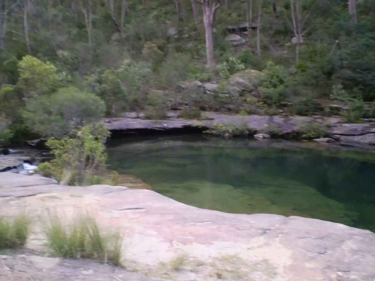
The starting point of an optional sidetrip. An optional side trip to Currawong Flats. To start this optional side trip veer right here. On returning from this side trip veer right when you get back to this intersection. Details below.
|
 |
|
 |
|
 |
|
 |
|
 |
|
 |
|
 |
|
 |
|
 |
|
 |
|
 |

|
|
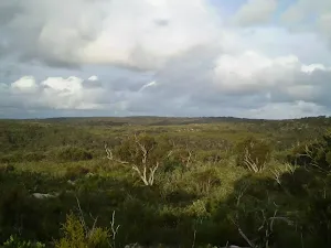
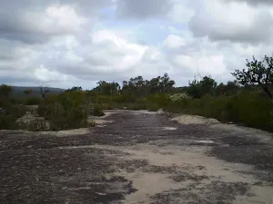
Class 4/6 Hard track |
|---|---|
| Length | 14.9 km |
| Time | 5 h 15 min to 6 h 30 min |
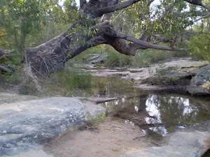
| Quality of track | Formed track, with some branches and other obstacles (3/6) |
| Gradient | Very steep (4/6) |
| Signage | Directional signs along the way (3/6) |
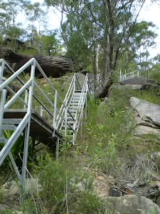
| Infrastructure | Limited facilities, not all cliffs are fenced (3/6) |
| Experience Required | Some bushwalking experience recommended (3/6) |
| Weather | Weather generally has little impact on safety (1/6) |
| Item | From Start | Name & link to notes |
|---|---|---|
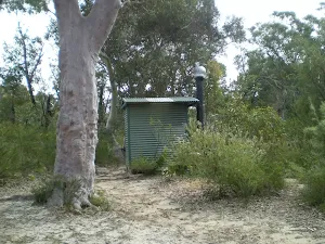
Toilet
| 110 m | [toilet] |
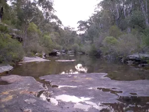
Campsite
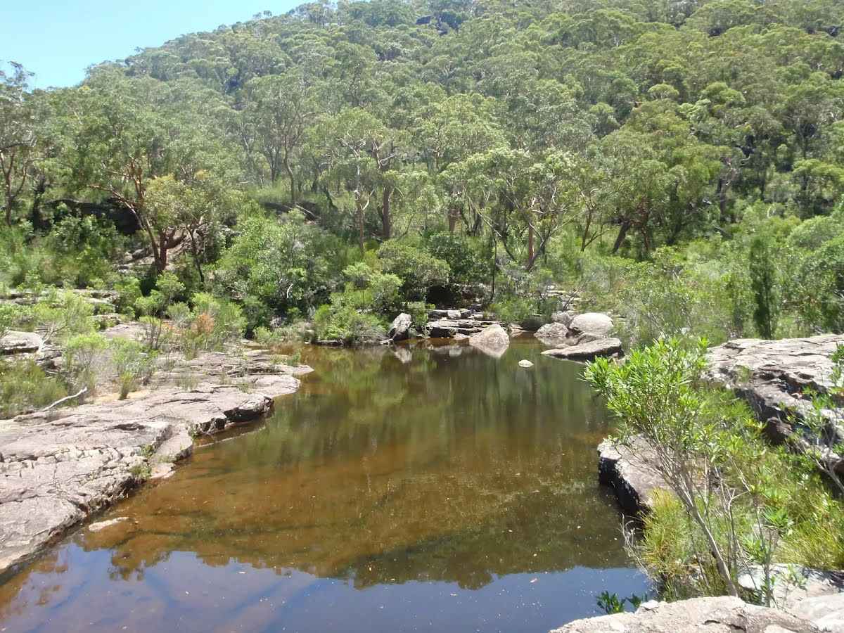
| 4.8 km | Ulloola Falls Campsite |
Camp site
| 4.9 km | Uloola Falls Bush Campground |
Toilet
| 4.9 km | [toilet] |
Toilet
| 9.5 km + 145 m | [toilet] |