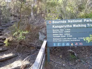
| Full Journey | Wharf to Wharf: Merimbula to Tathra |
| Start | (-36.7951486,149.9375338) |
| Mode | Car |
| Directions | From Princes Highway, A1
|
| Finish | (-36.7256716,149.9889788) |
| Mode (end) | Car Shuttle Car |
| Turn map | Directions & comments |
|---|---|
 |
|
 |
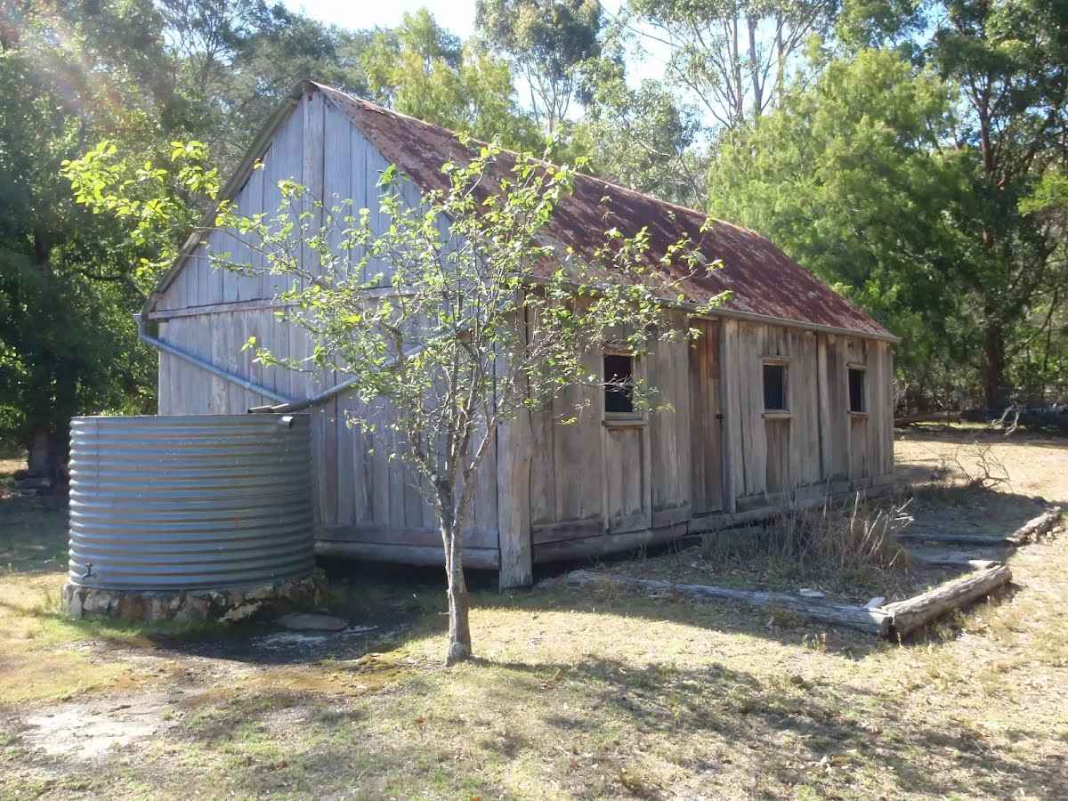
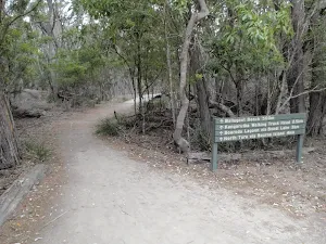
The starting point of an optional sidetrip. This optional side trip takes you to the historic Scotts Hut where there's a picnic area as well. Around 40 minutes out & back. To start this optional side trip turn left here. On returning from this side trip turn left when you get back to this intersection. Details below.
|
 |
|
 |
|
 |
|
 |
|
 |
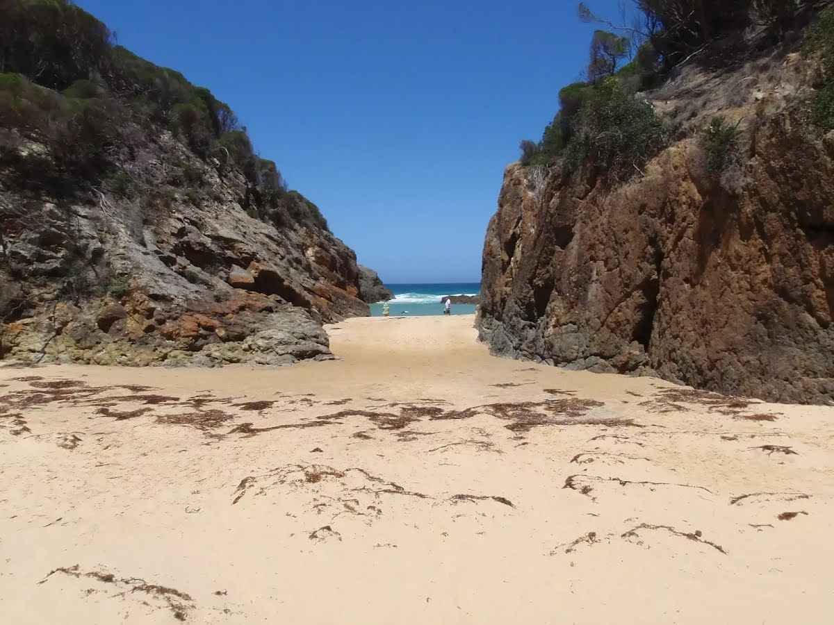
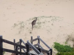
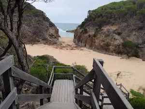
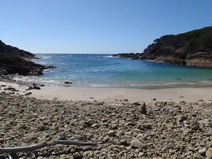
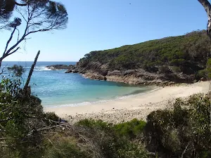
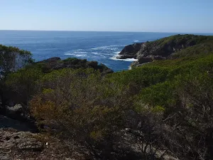
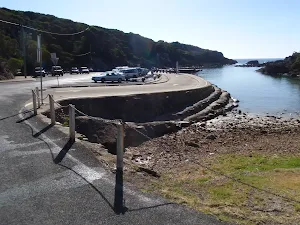
The starting point of an optional sidetrip. This tiny side trip takes you to the beautiful Wallagoot Gap Beach. Keep an eye out for wallabies. To start this optional side trip turn sharp right here. On returning from this side trip veer right when you get back to this intersection. Details below.
|
 |
The starting point of an optional sidetrip. This optional side trip takes you to the northern foreshore of Wallagoot Lake, where you can do some sailing or paddling if you'd like to. Expect 25-30 minutes (out&back) added to your hike. To start this optional side trip continue straight here. On returning from this side trip turn left when you get back to this intersection. Details below.
|
 |
|
 |
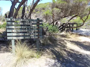
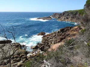
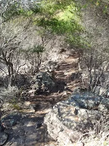
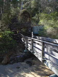
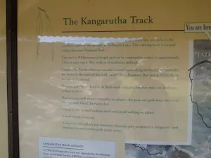
After another 1.8 km (at the intersection of Kangarutha walking track & Kangarutha Point Track) continue straight, to head along Kangarutha walking track.
|
 |
|
 |
|
 |
|
 |
|
 |
|
 |
|
 |
|
 |
|
 |
|
 |
|
 |
|
 |
|
 |
| Turn map | Directions & comments |
|---|---|
 |
|
 |
|
 |

|
|
Class 3/6 Moderate track |
|---|---|
| Length | 13.5 km |
| Time | 4 h to 6 h 30 min |
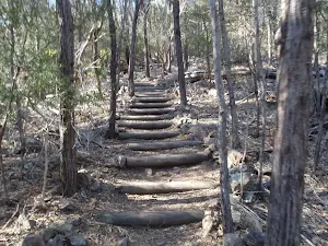
| Quality of track | Formed track, with some branches and other obstacles (3/6) |
| Gradient | Short steep hills (3/6) |
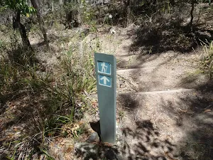
| Signage | Directional signs along the way (3/6) |
| Infrastructure | Limited facilities, not all cliffs are fenced (3/6) |
| Experience Required | Some bushwalking experience recommended (3/6) |
| Weather | Storms may impact on navigation and safety (3/6) |
| Item | From Start | Name & link to notes |
|---|---|---|
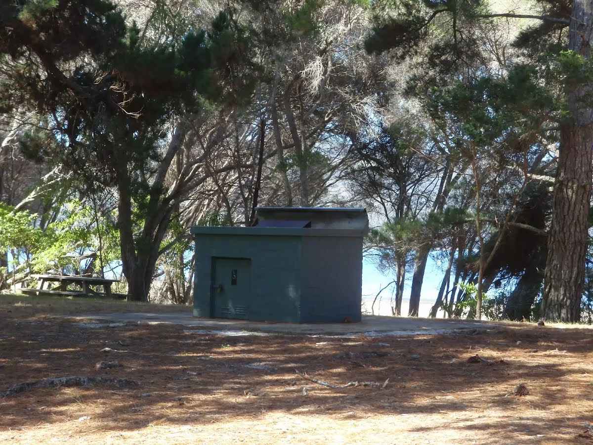
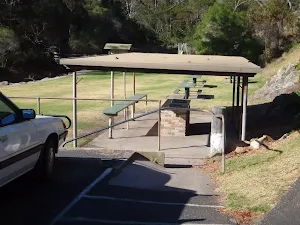
Toilet
| 220 m | [toilet] |
Camp site
| 245 m | Hobart Beach |
Seat
| 2.8 km | [seat] |
Toilet
| 3 km + 245 m | [toilet] |
Toilet
| 11.2 km | [toilet] |
Seat
| 11.3 km | [seat] |
Seat
| 11.4 km | [seat] |
Toilet
| 13.5 km | [toilet] |