| Start | At the intersection of Maitland Bay Track & The Scenic Road (-33.5203965,151.3826814) |
| Mode | Car (There is free parking available.) |
| Directions | From |
| Turn map | Directions & comments |
|---|---|
 |
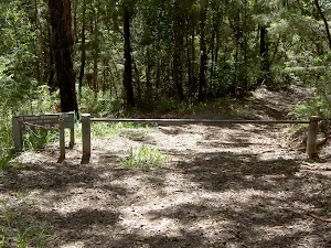
At the intersection of Maitland Bay Track & The Scenic Road Start heading along Maitland Bay Track (a walking track).
|
 |
|
 |
At the intersection of Mount Bouddi Road & Stroms Trail turn right, to head along Mount Bouddi Road (a vehicle track).
|
 |
|
 |
After another 610 m find the "Bouddi Lookout" (20 m on your left).
|
 |
|
 |
|
 |
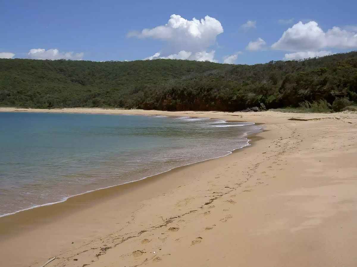
The starting point of an optional sidetrip. An optional side trip to S.S. Maitland Shipwreck. To start this optional side trip turn left here. On returning from this side trip error >360 when you get back to this intersection. Details below.
|
 |
|
 |
|
 |
|
 |
| Turn map | Directions & comments |
|---|---|
 |
|
 |

|
|
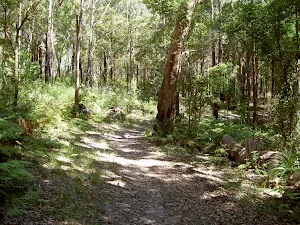
Class 4/6 Hard track |
|---|---|
| Length | 6.2 km |
| Time | 2 h to 4 h |
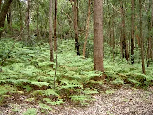
| Quality of track | Rough track, where fallen trees and other obstacles are likely (4/6) |
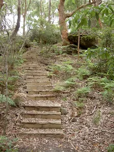
| Gradient | Very steep (4/6) |
| Signage | Minimal directional signs (4/6) |
| Infrastructure | Limited facilities (such as cliffs not fenced, significant creeks not bridged) (4/6) |
| Experience Required | No experience required (1/6) |
| Weather | Weather generally has little impact on safety (1/6) |
| Item | From Start | Name & link to notes |
|---|---|---|
Toilet
| 2.9 km | Mount Bouddi |
Shelter
| 2.9 km | Mount Bouddi Picnic Area |