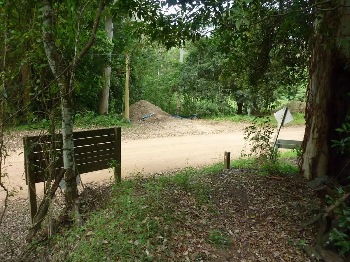
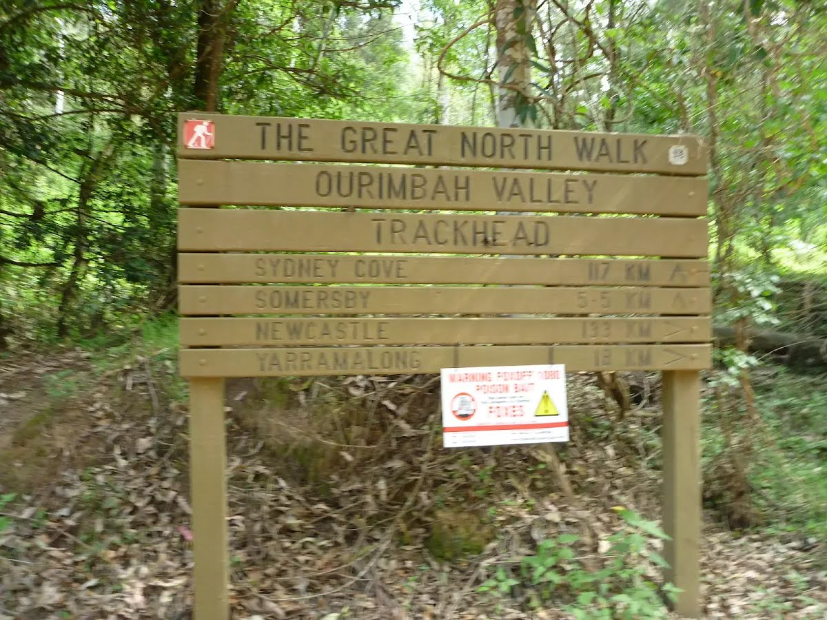
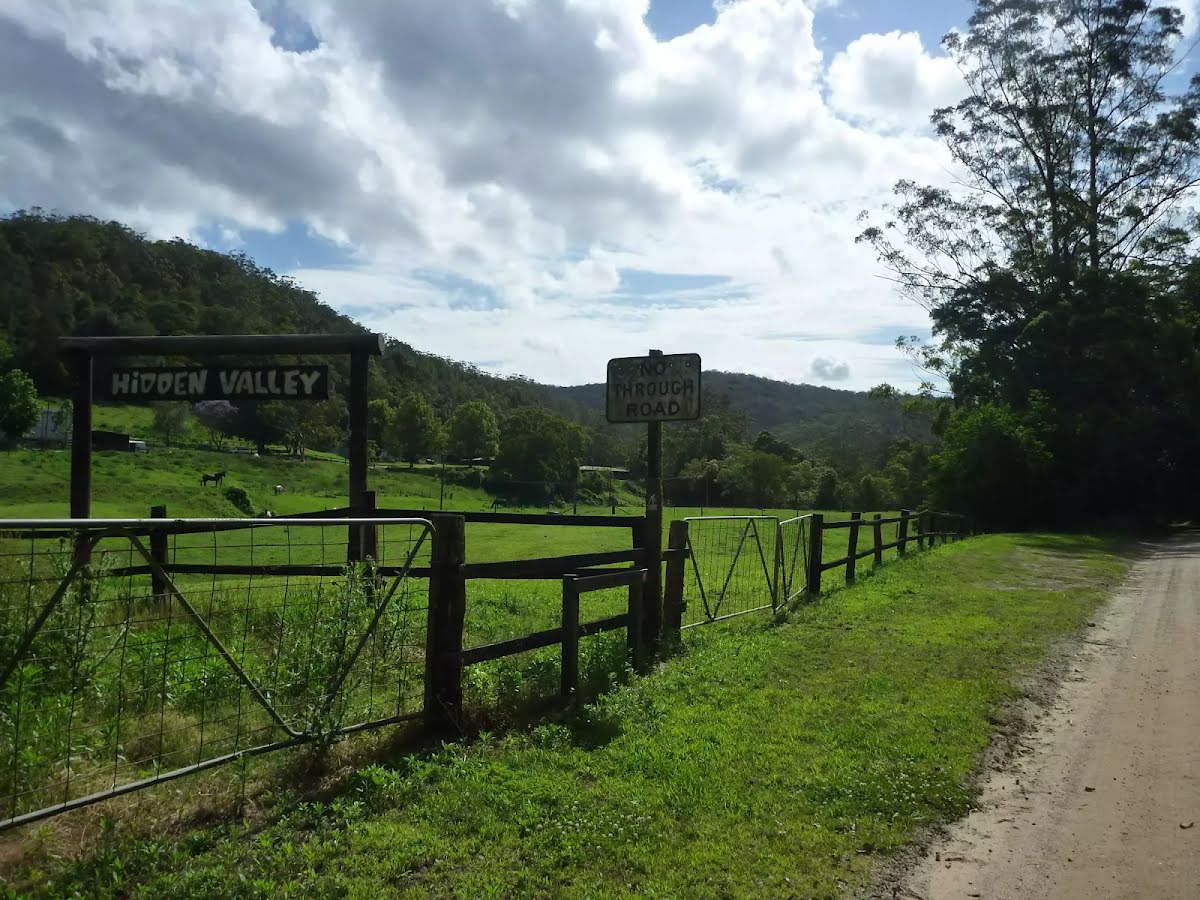
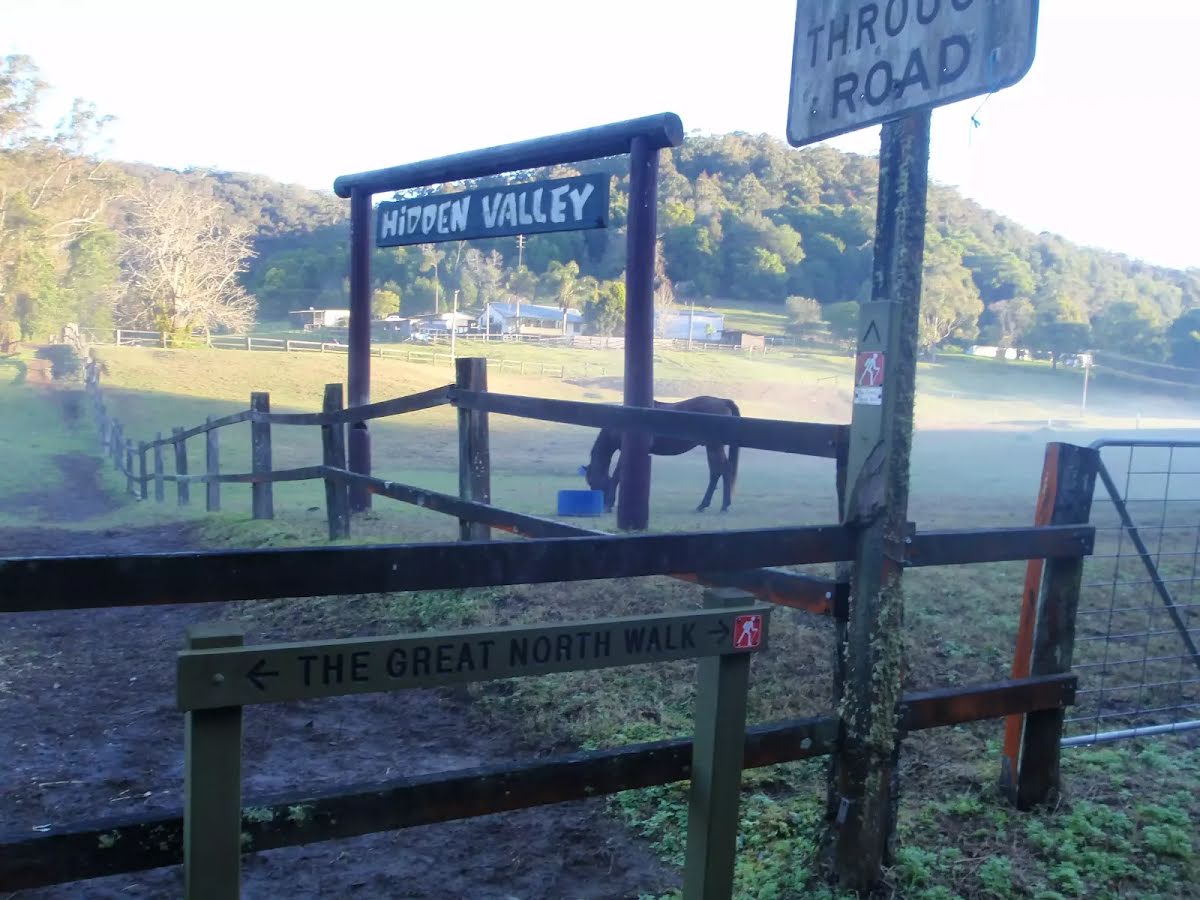


| Start | From the Ourimbah Creek Road (near the Great North Walk information) (-33.3174483,151.2999462) |
| Mode | Car |
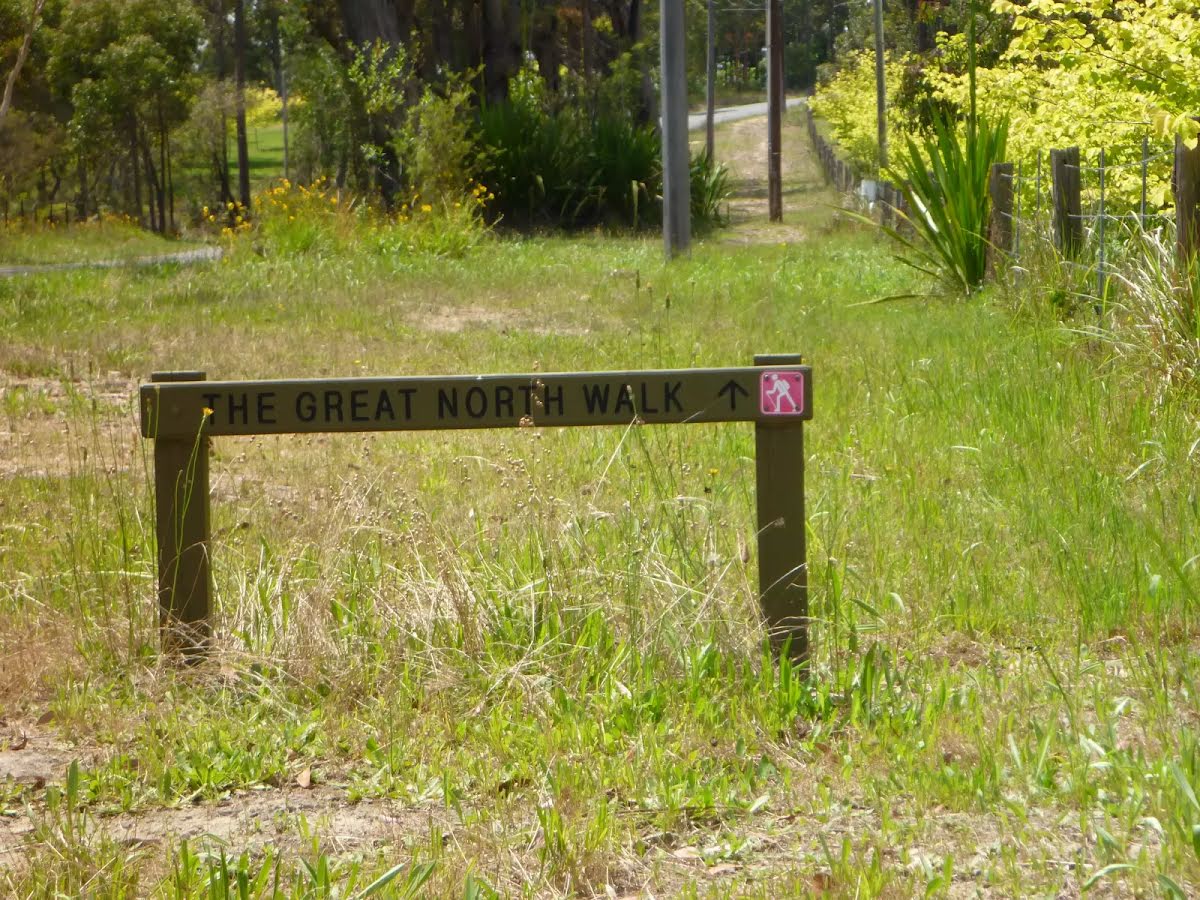
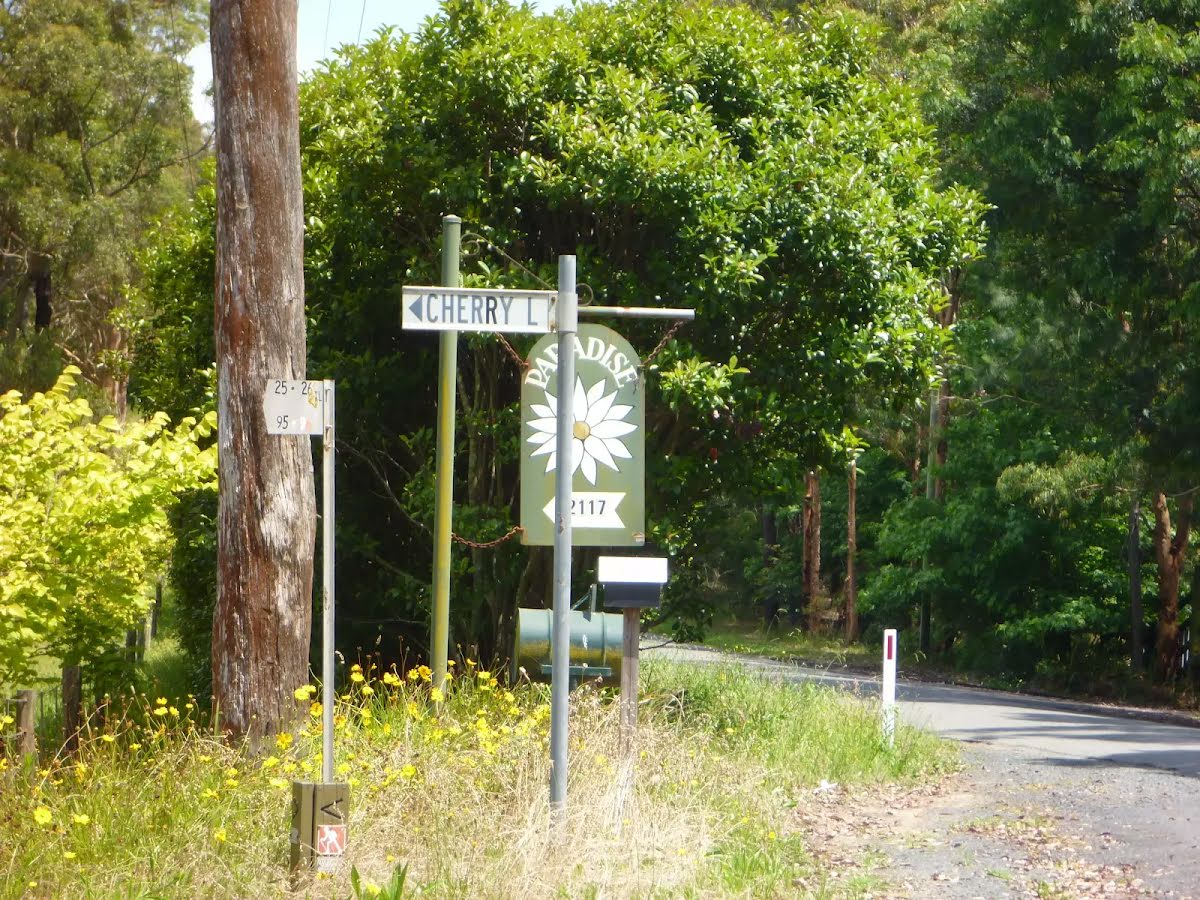
| Directions | From , Ourimbah. |
| Finish | At the intersection of Yarramalong Road & Bumble Hill Road (-33.224046,151.278565) |
| Mode (end) | Car Shuttle Car |

|
|
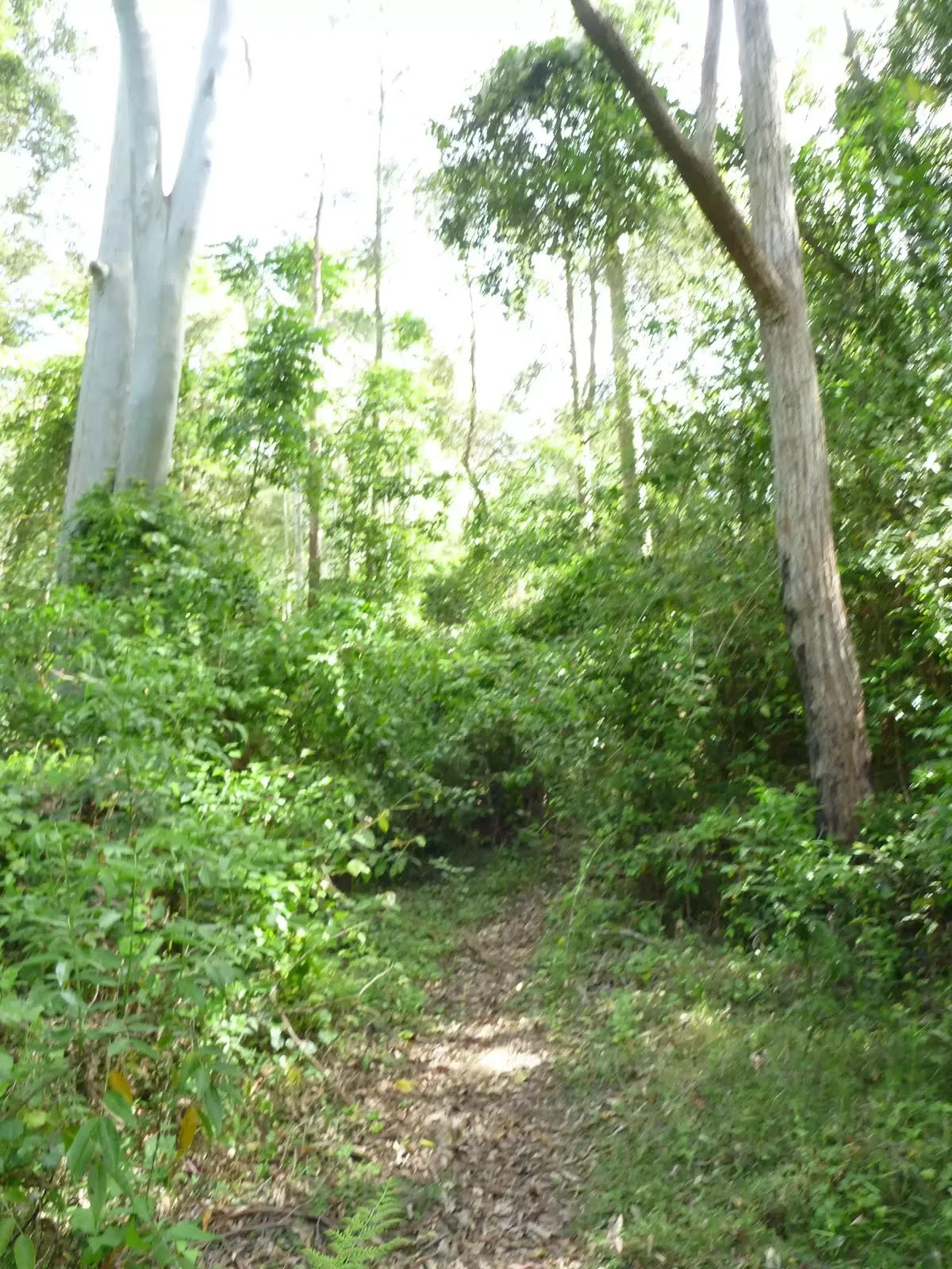
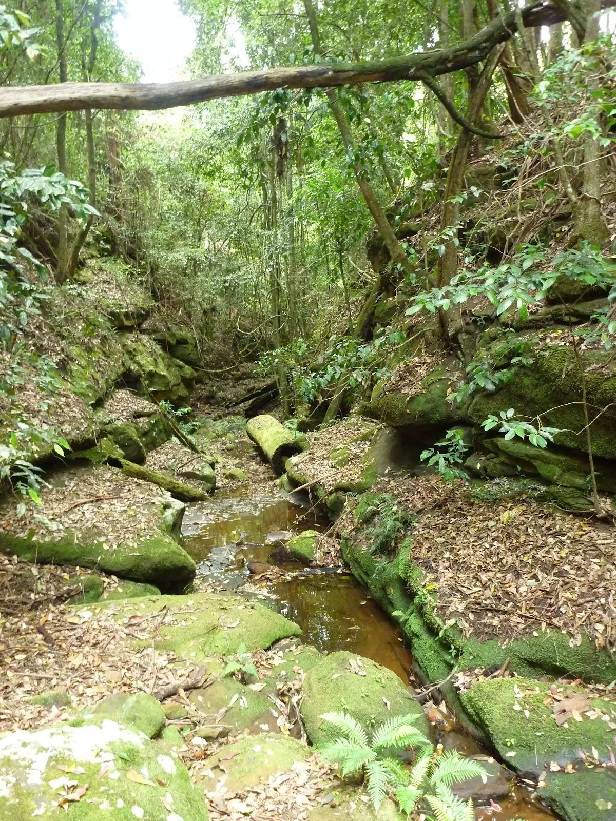
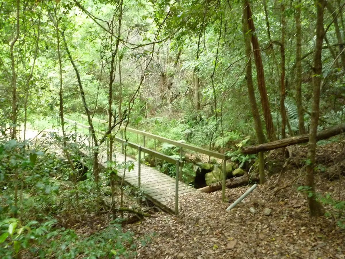
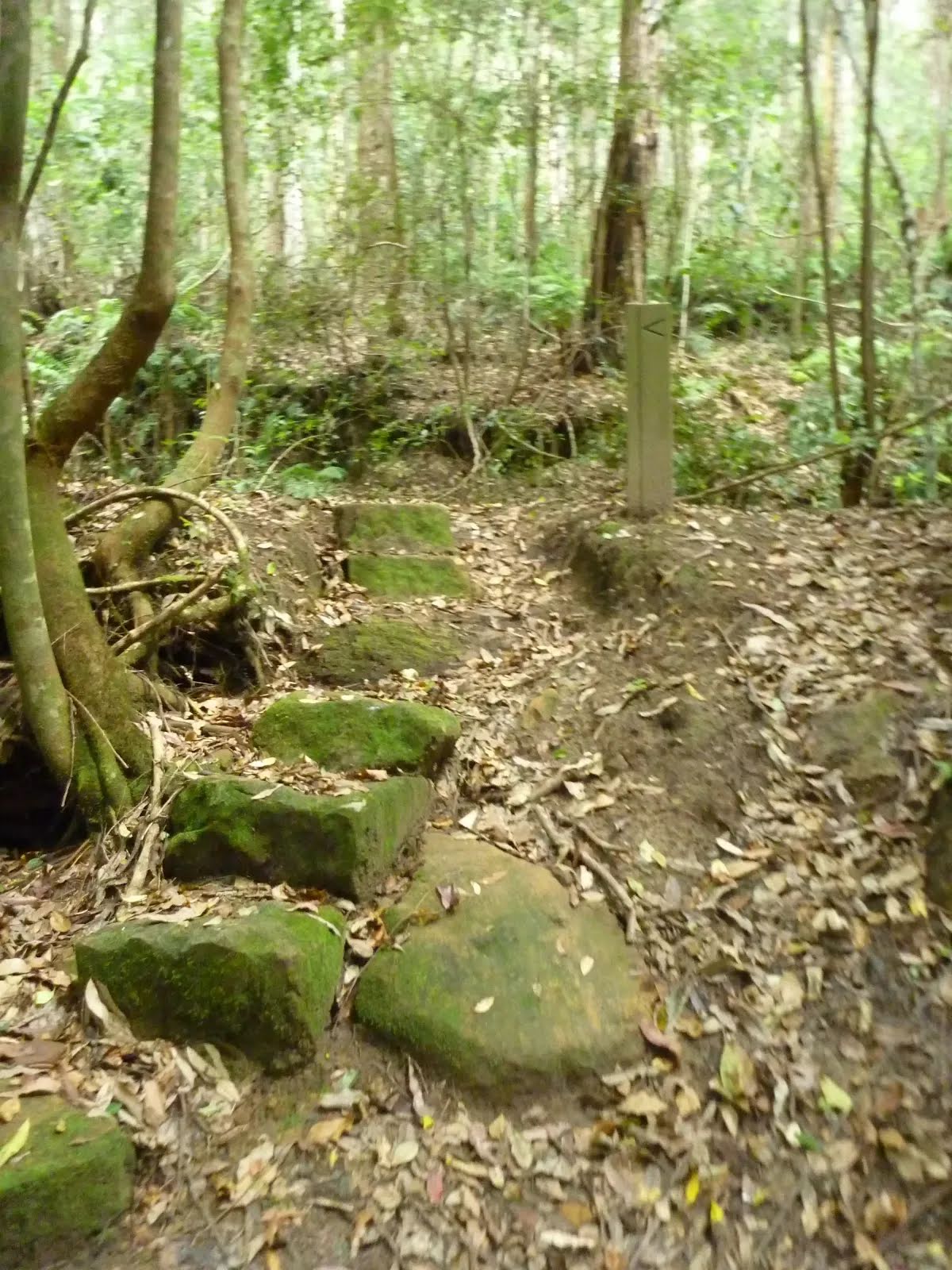
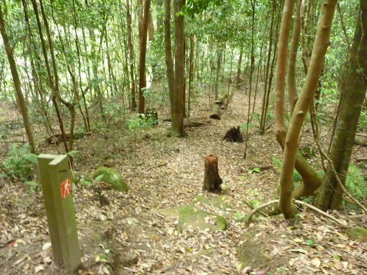
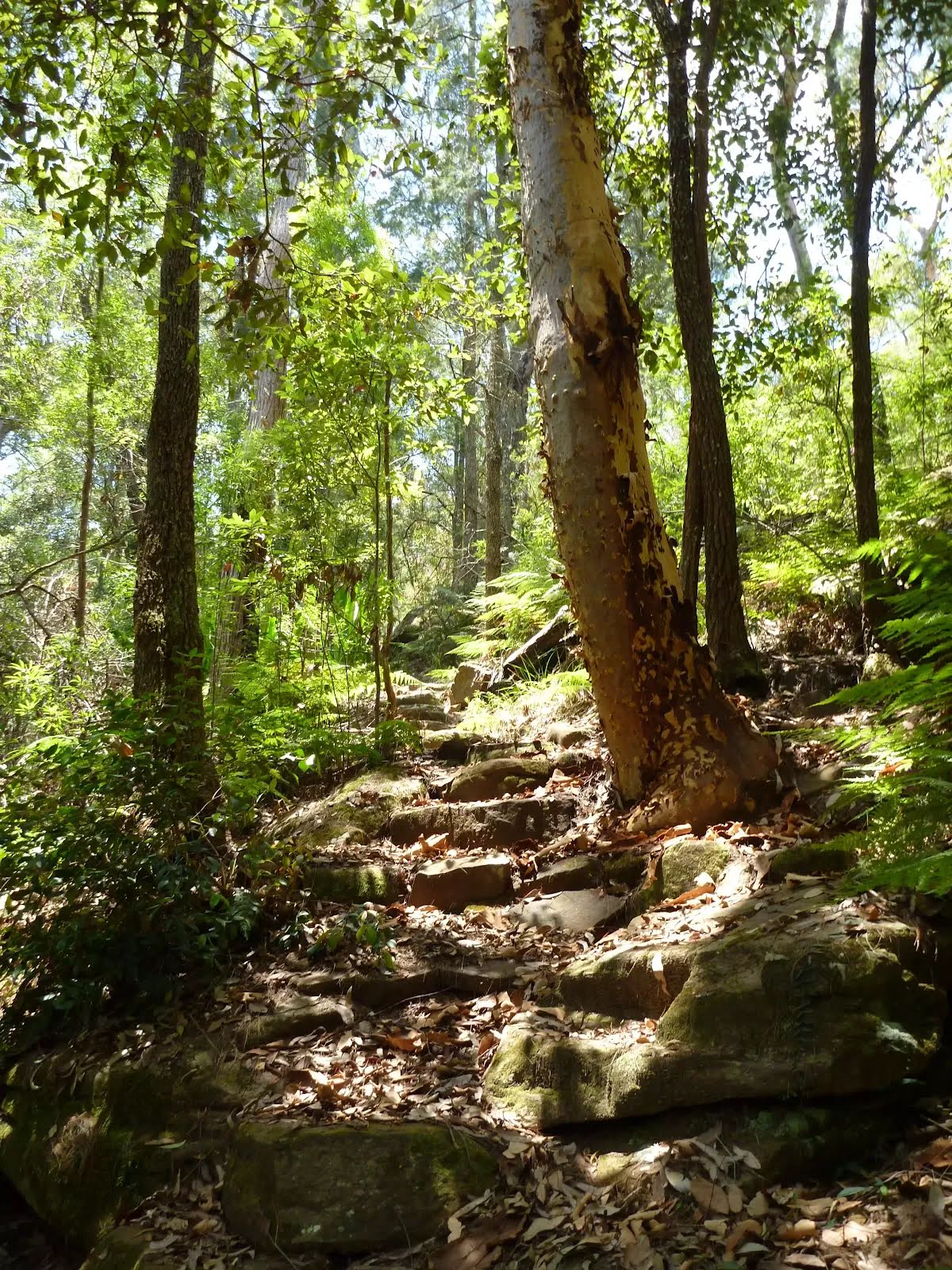
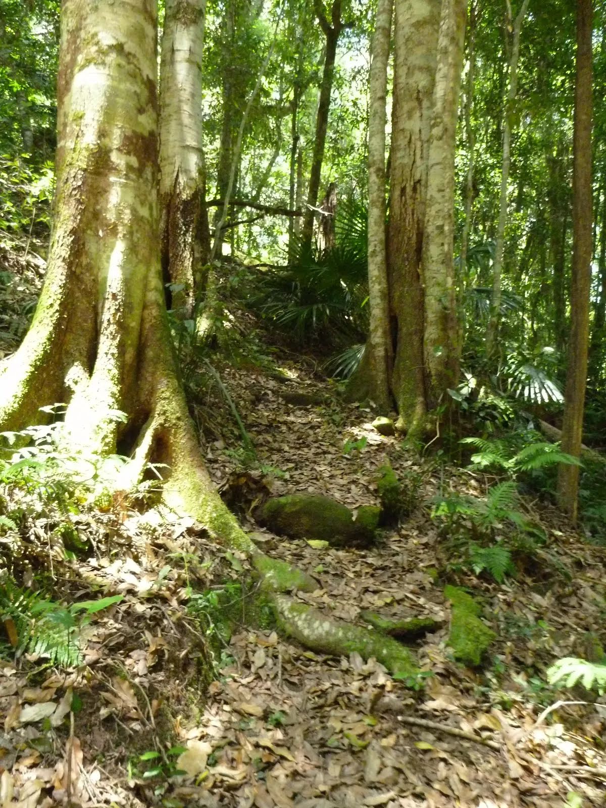
Class 3/6 Moderate track |
|---|---|
| Length | 20 km |
| Time | 6 h 30 min to 10 h |
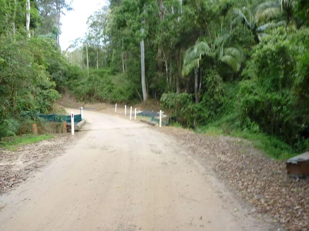
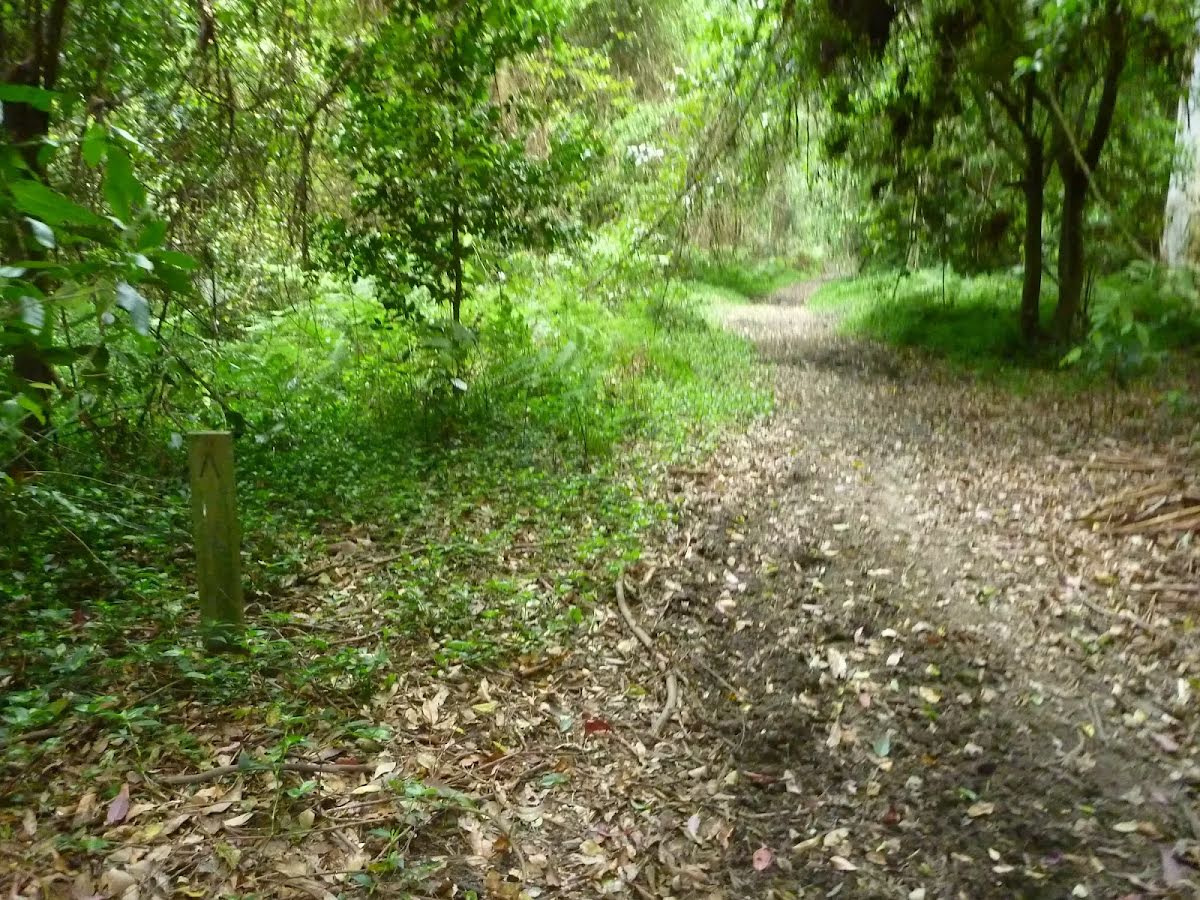
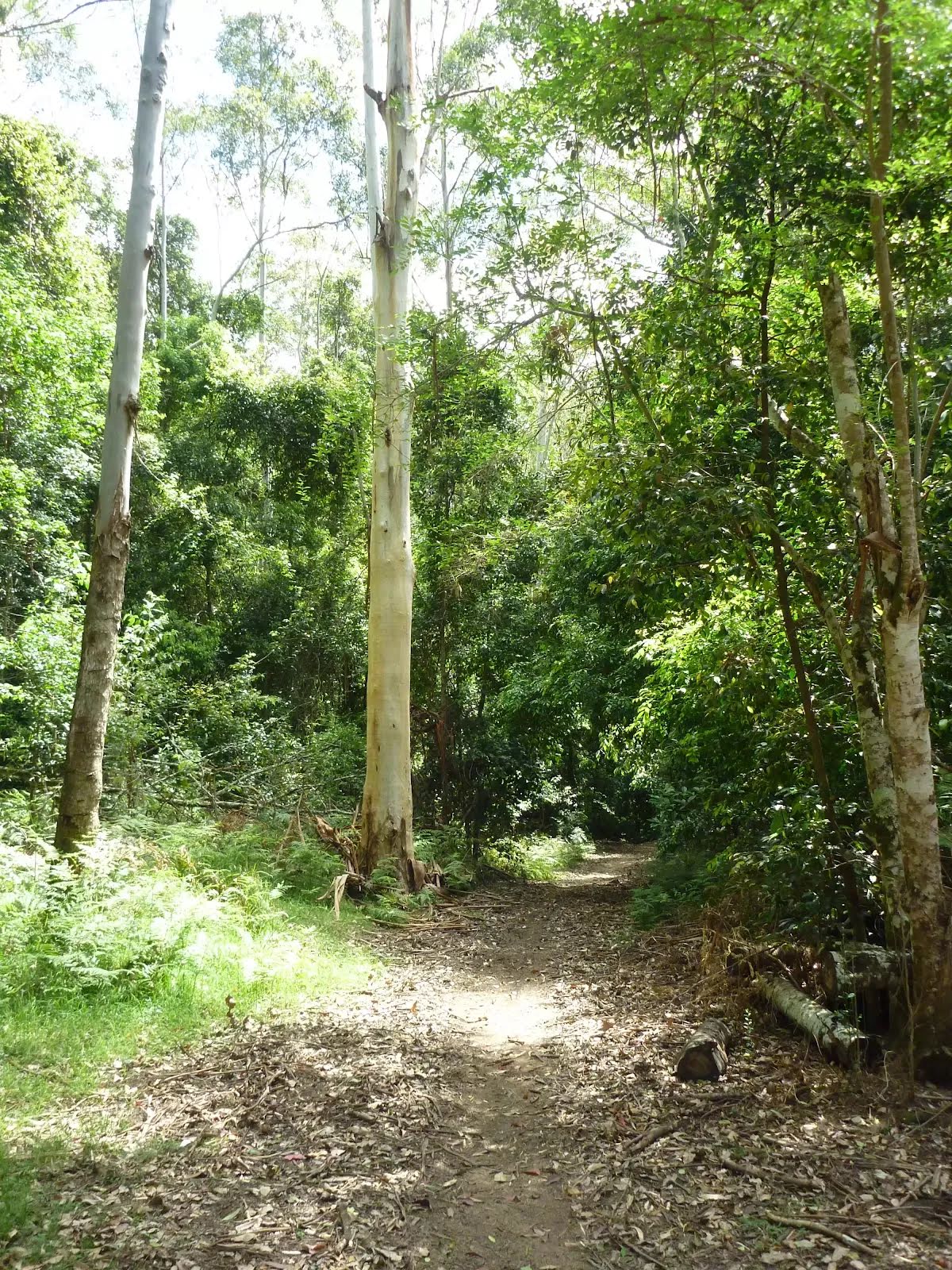
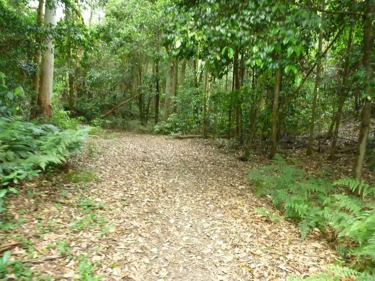
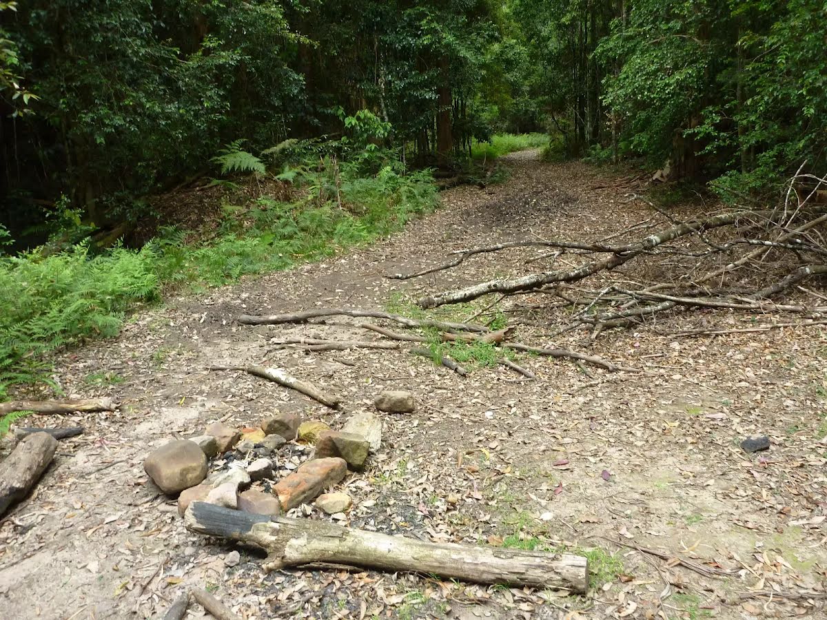
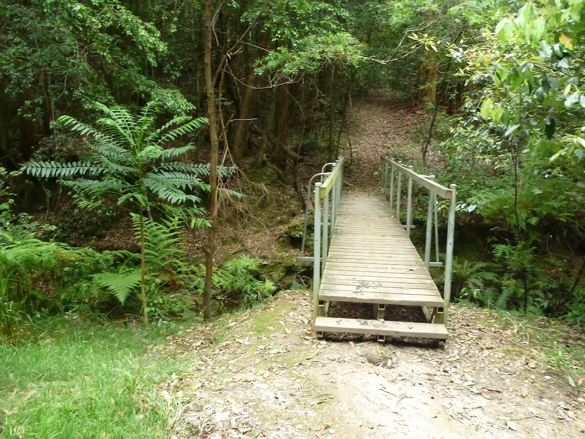
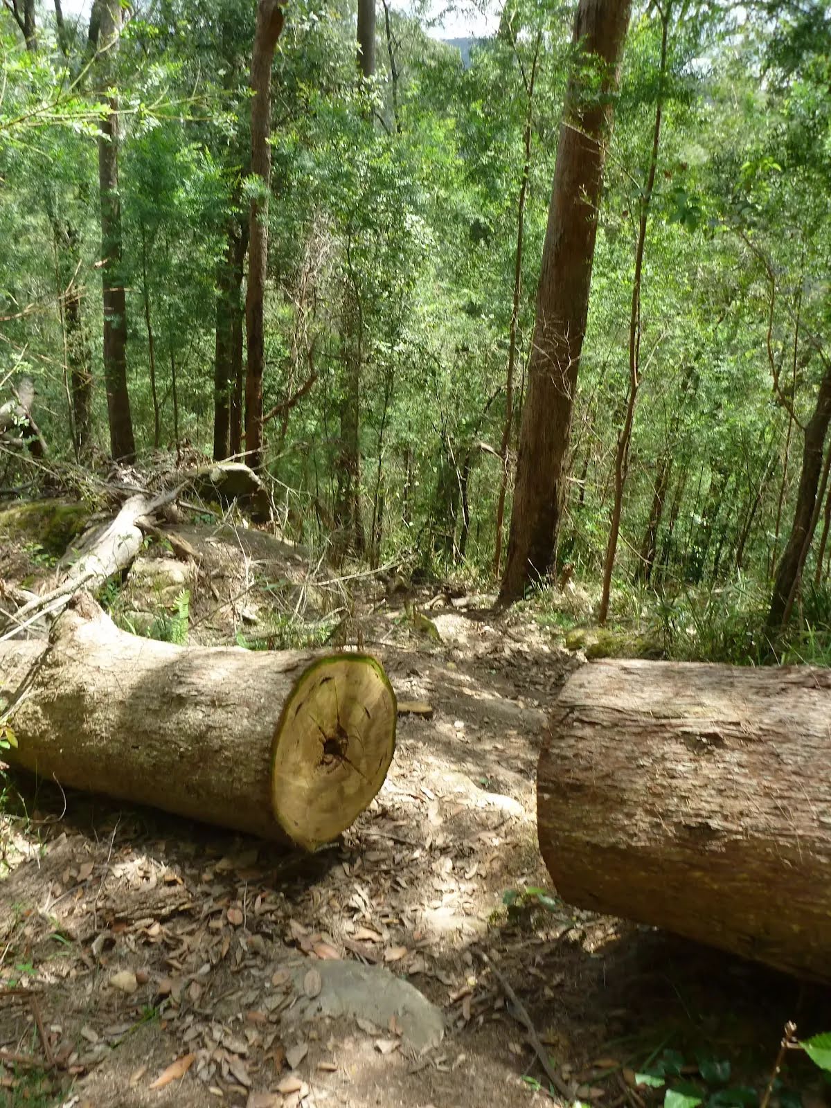
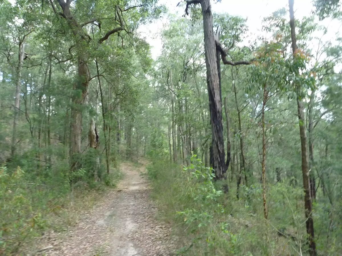
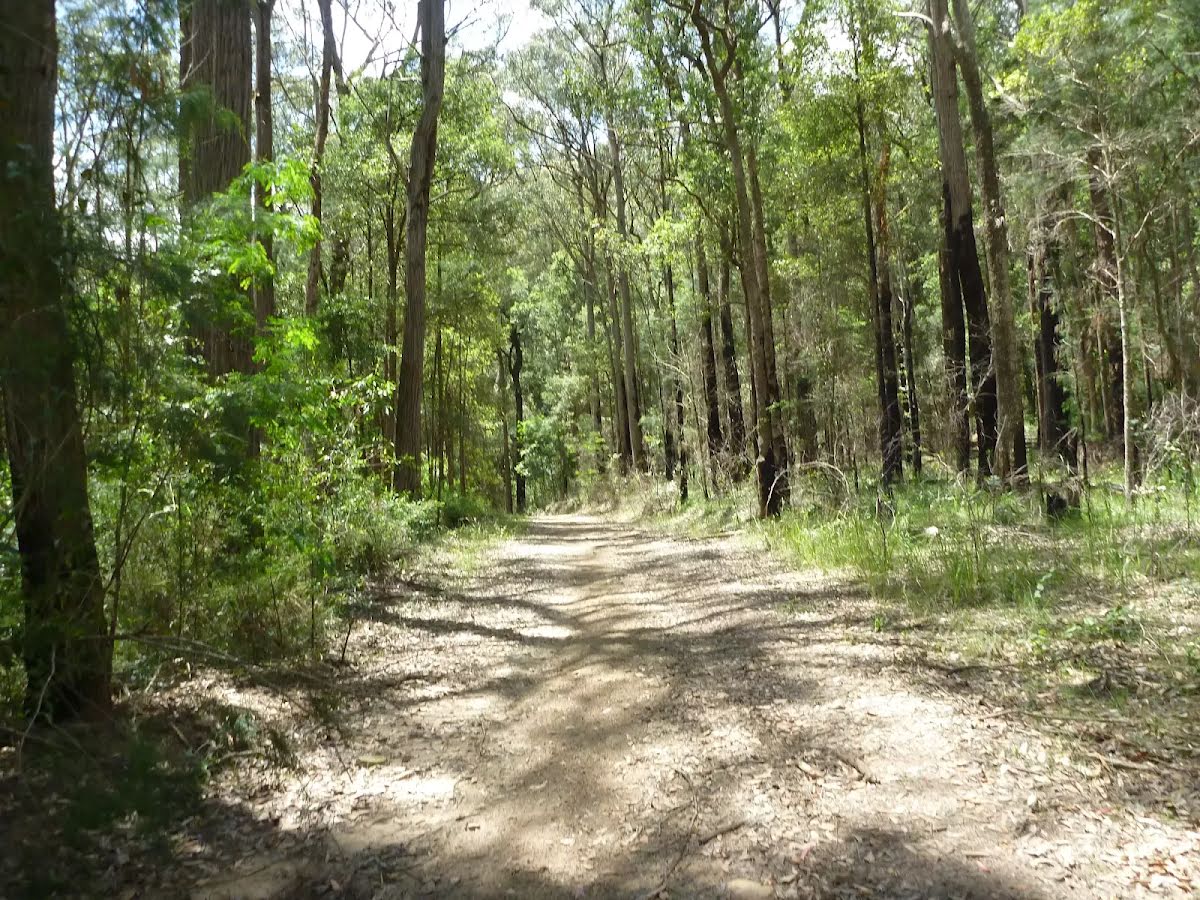
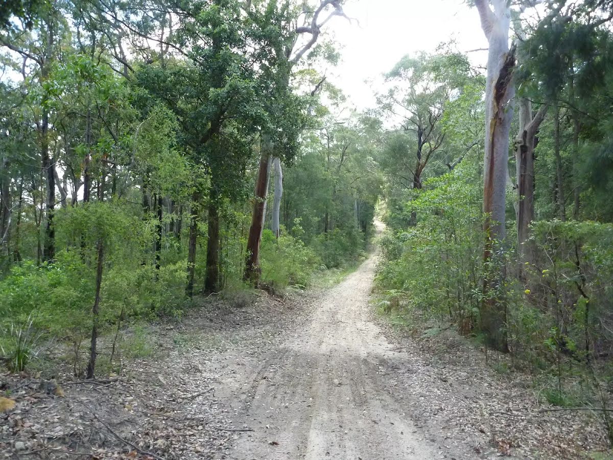
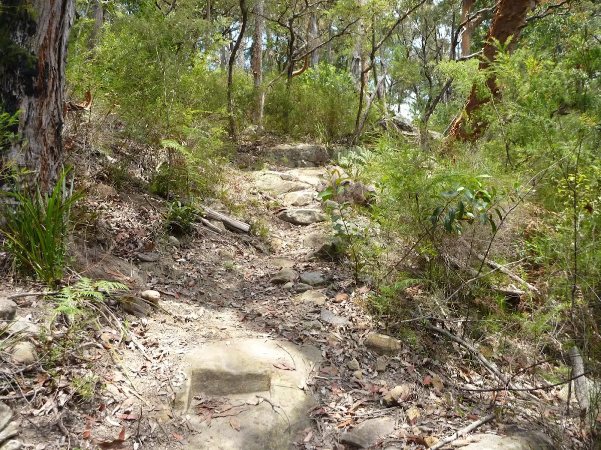
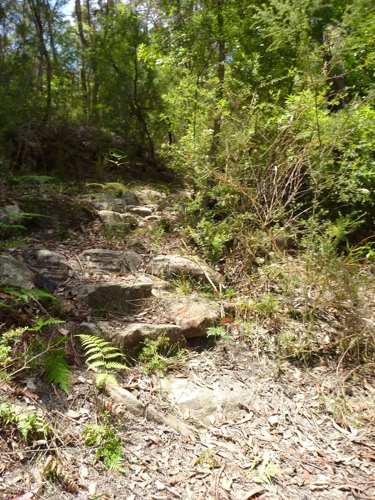
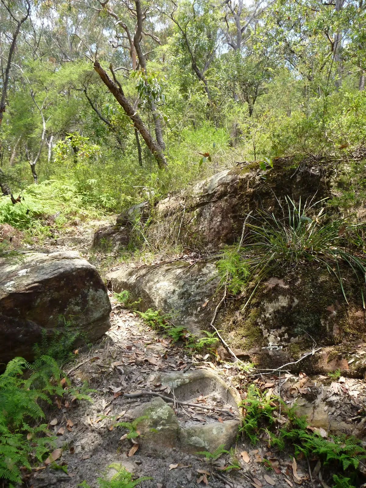
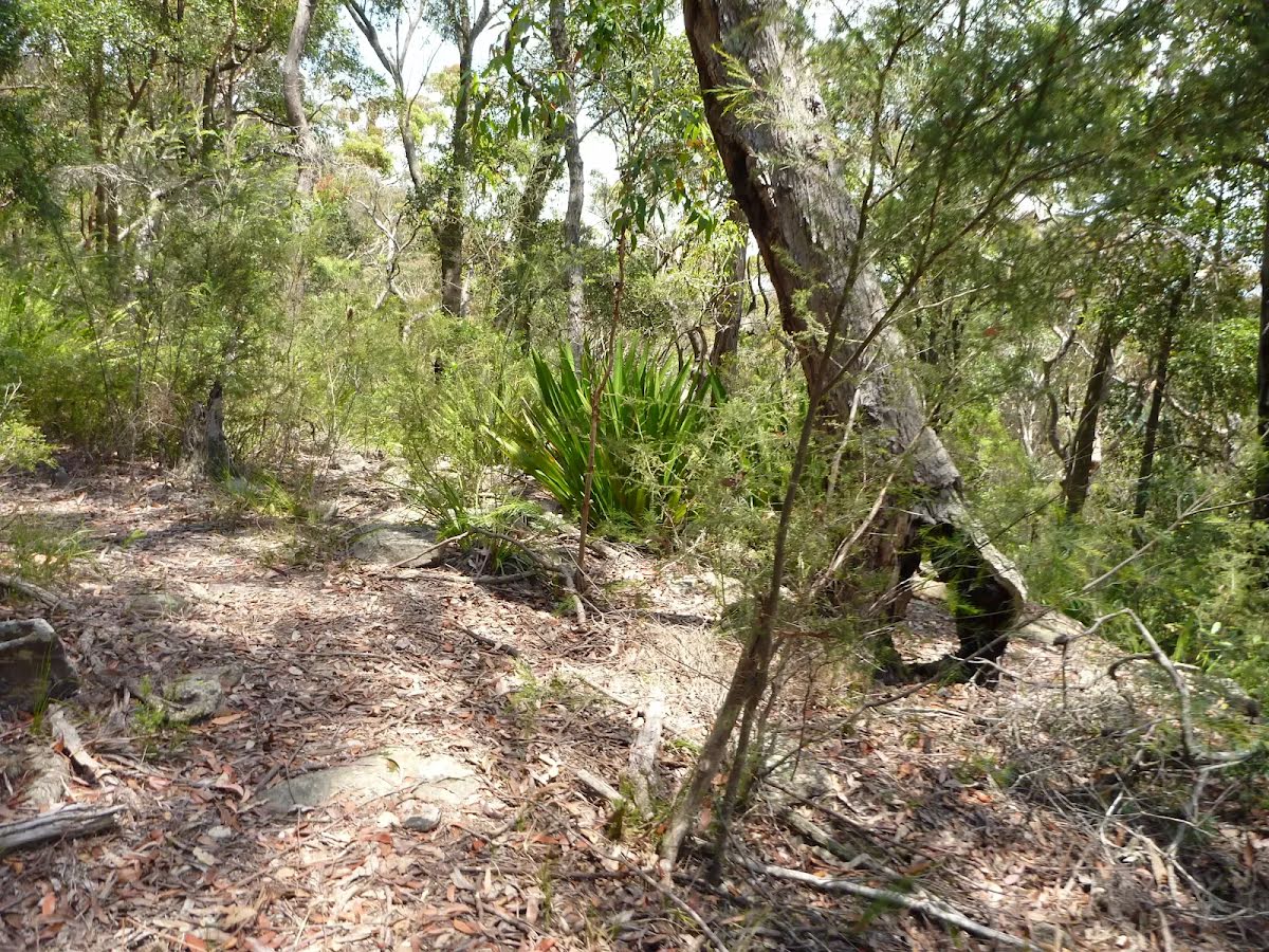
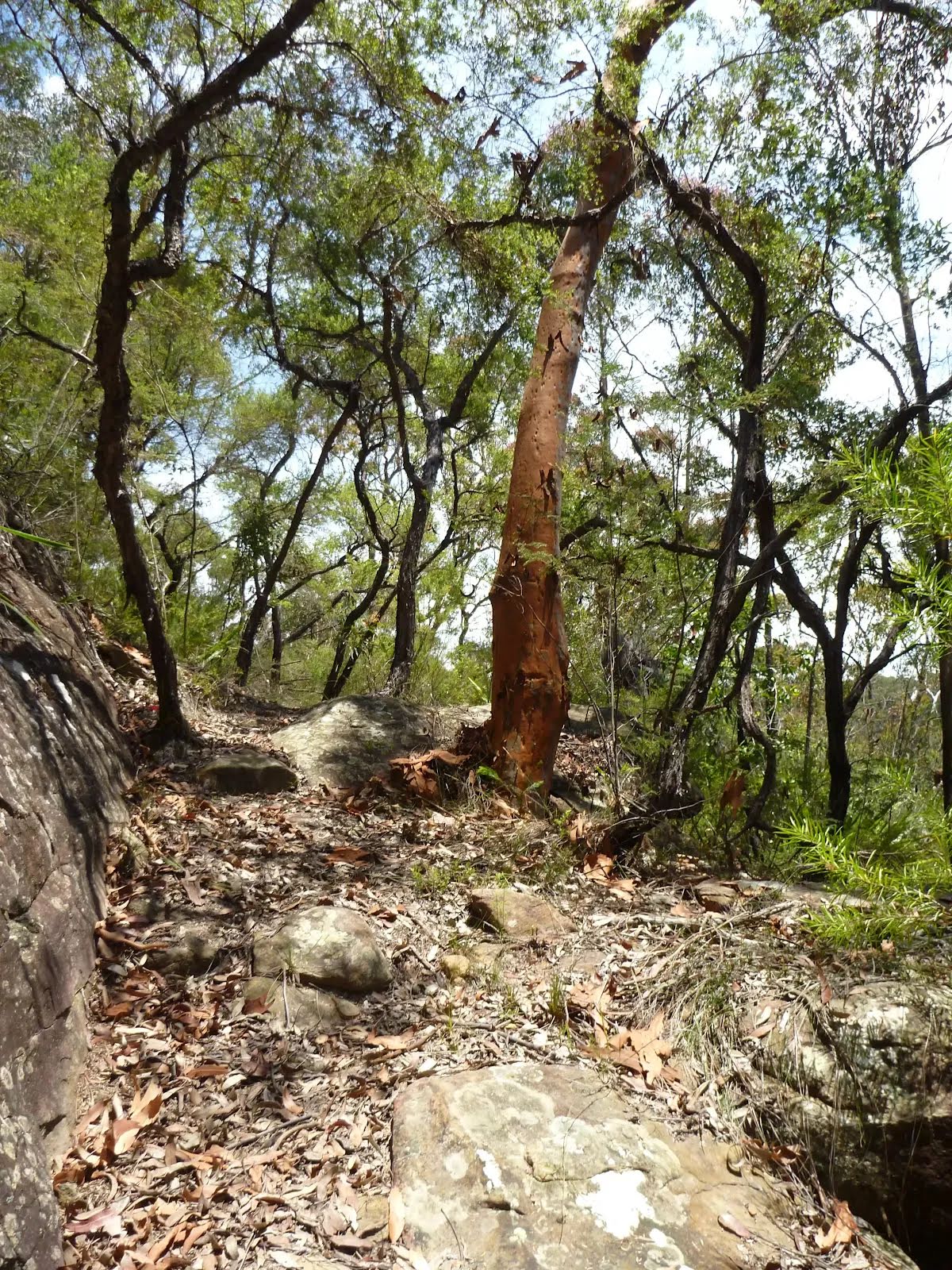
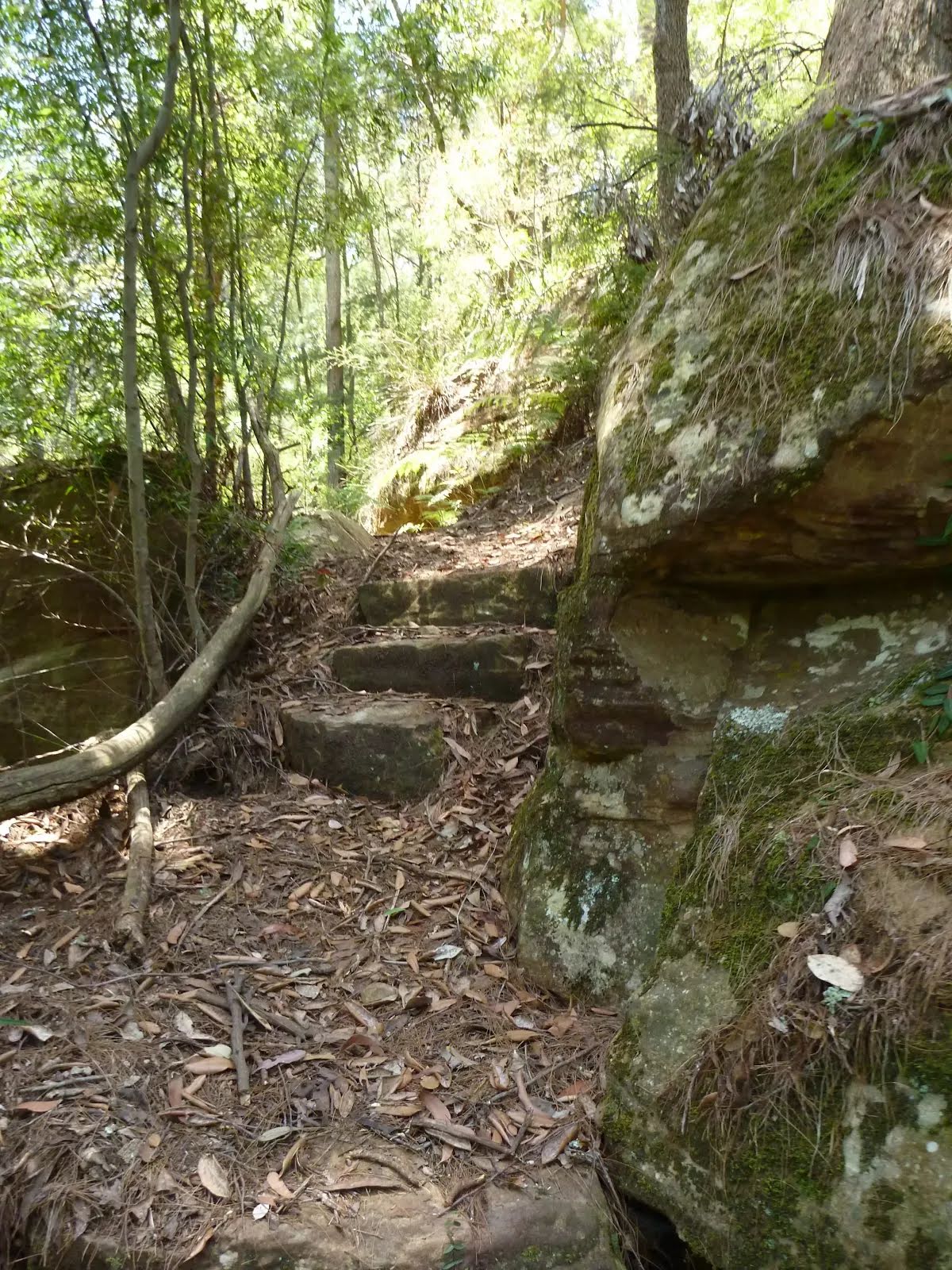
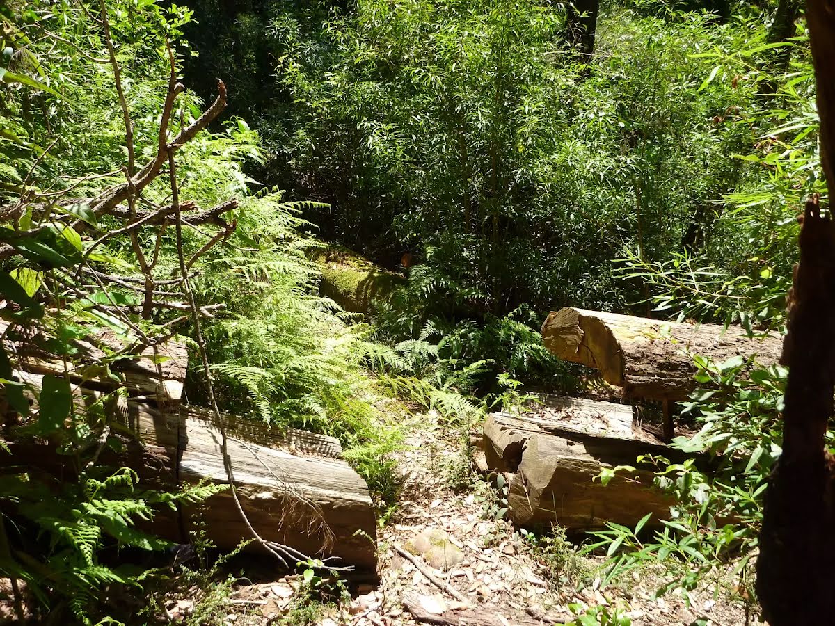
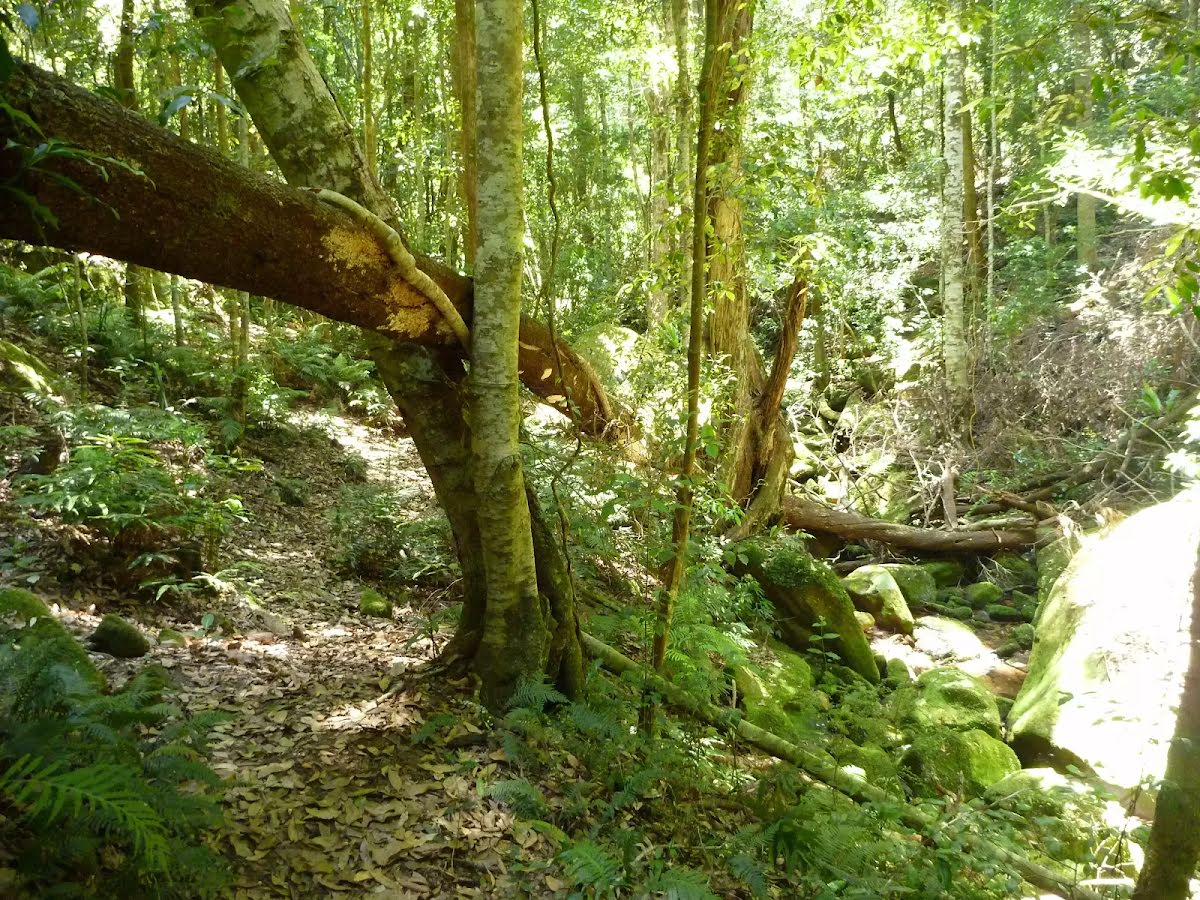
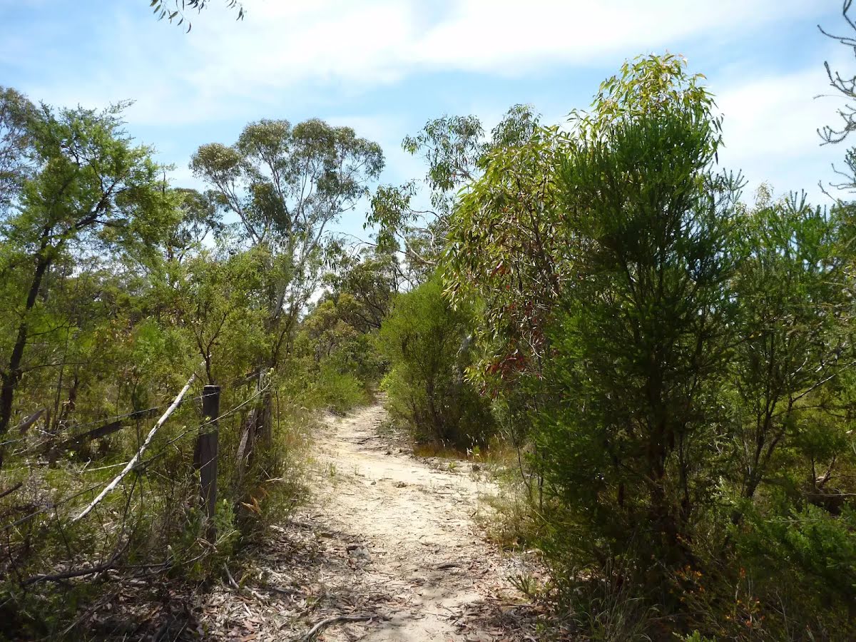
| Quality of track | Formed track, with some branches and other obstacles (3/6) |
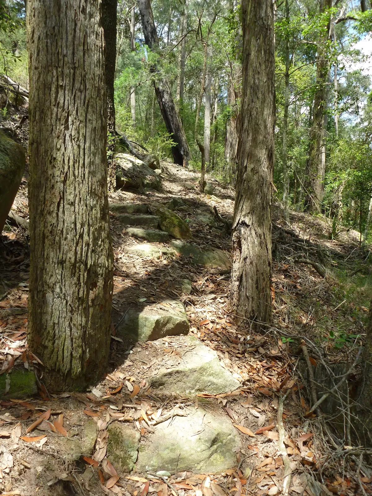
| Gradient | Short steep hills (3/6) |
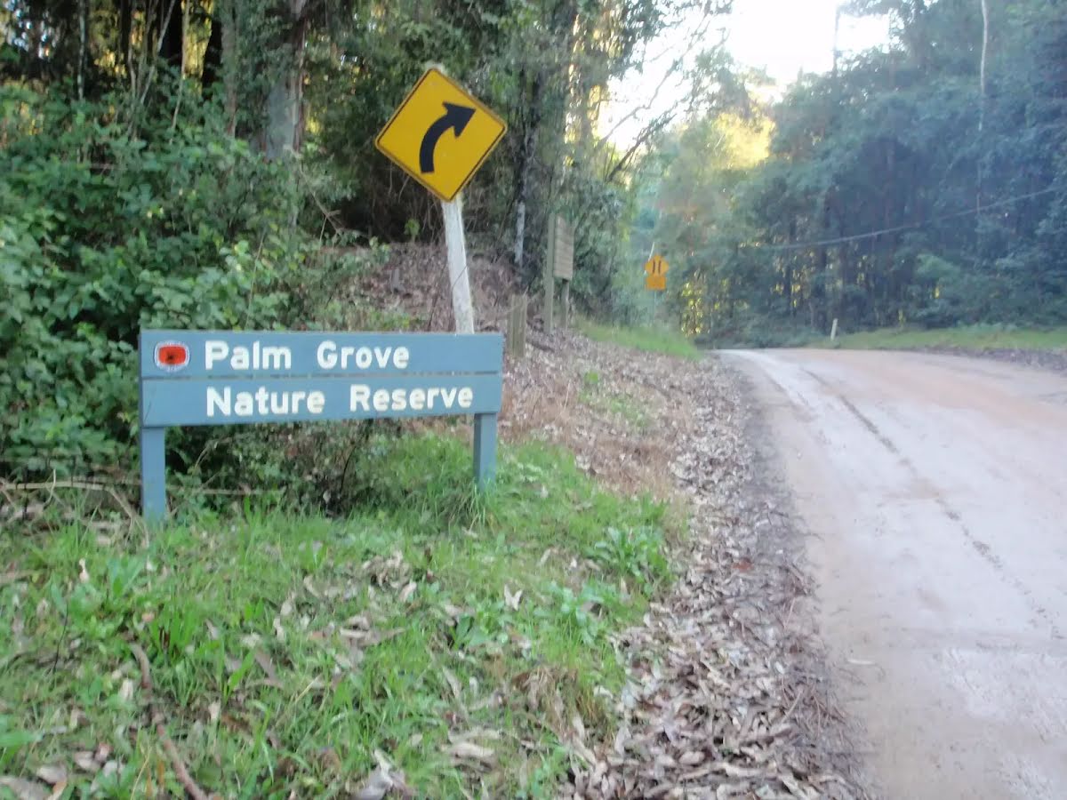
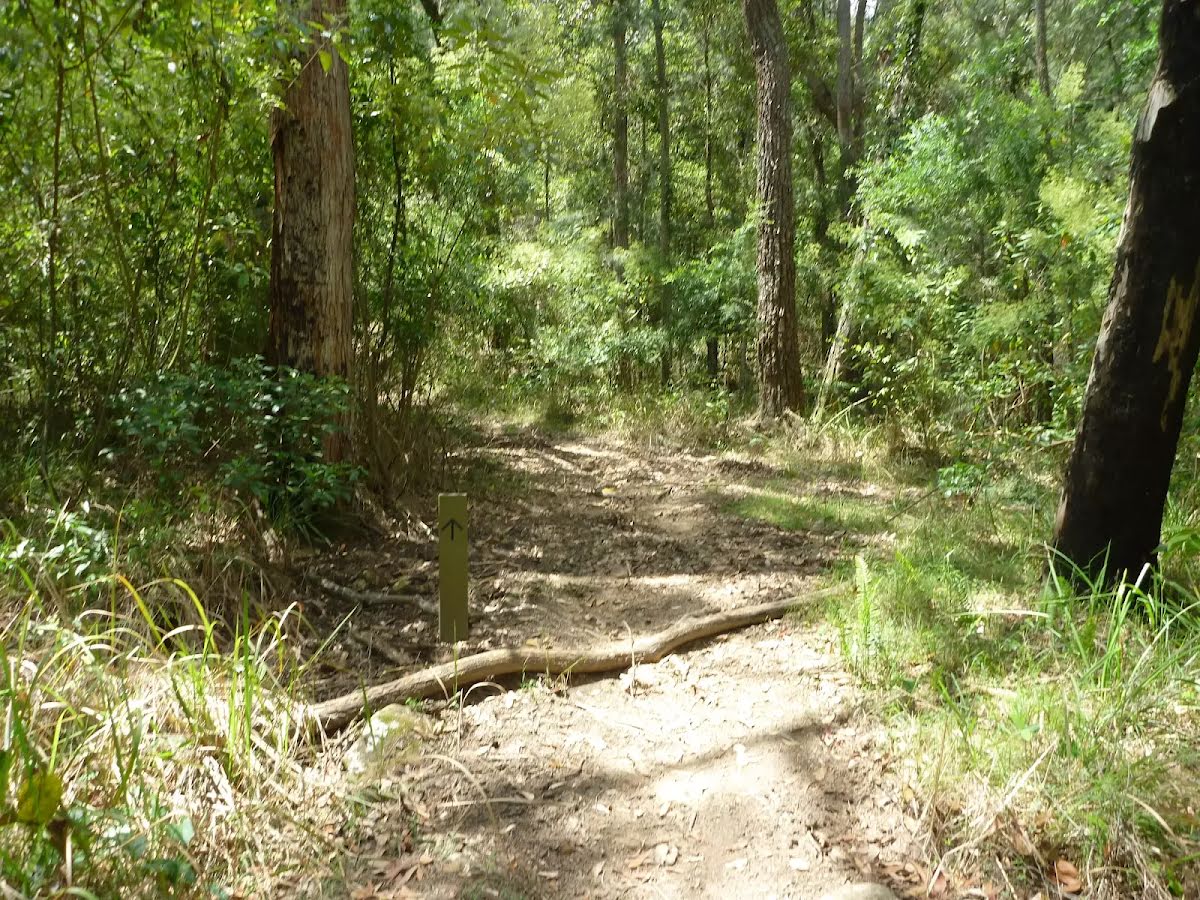
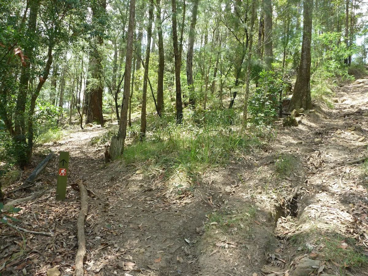
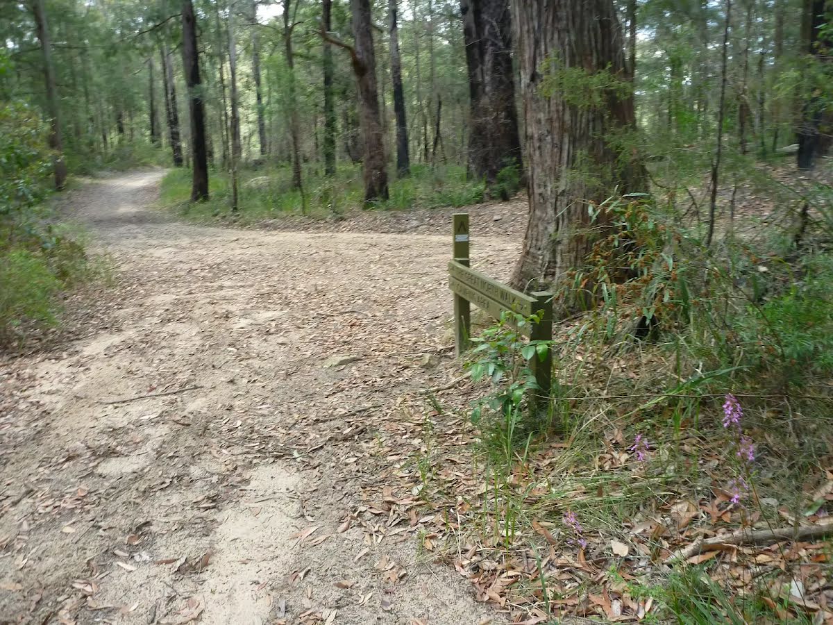
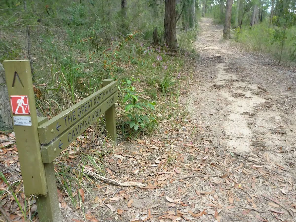
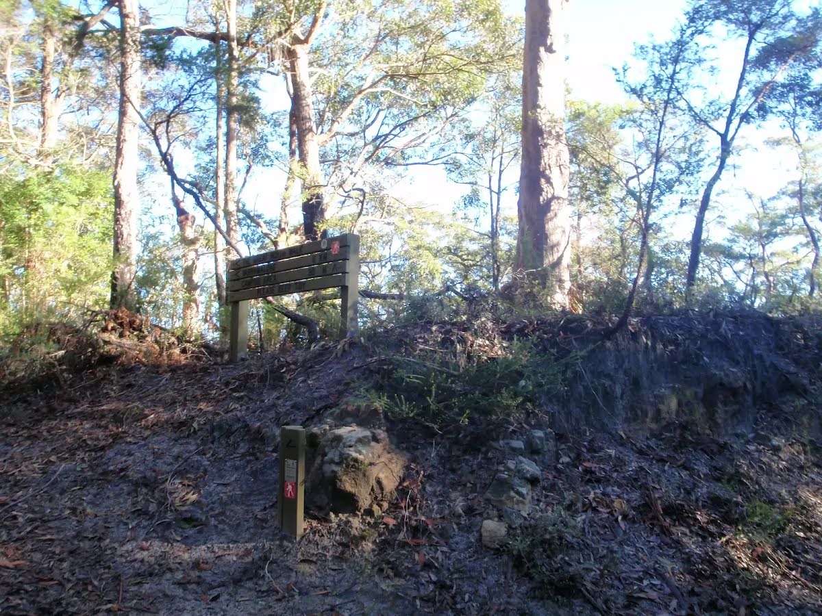
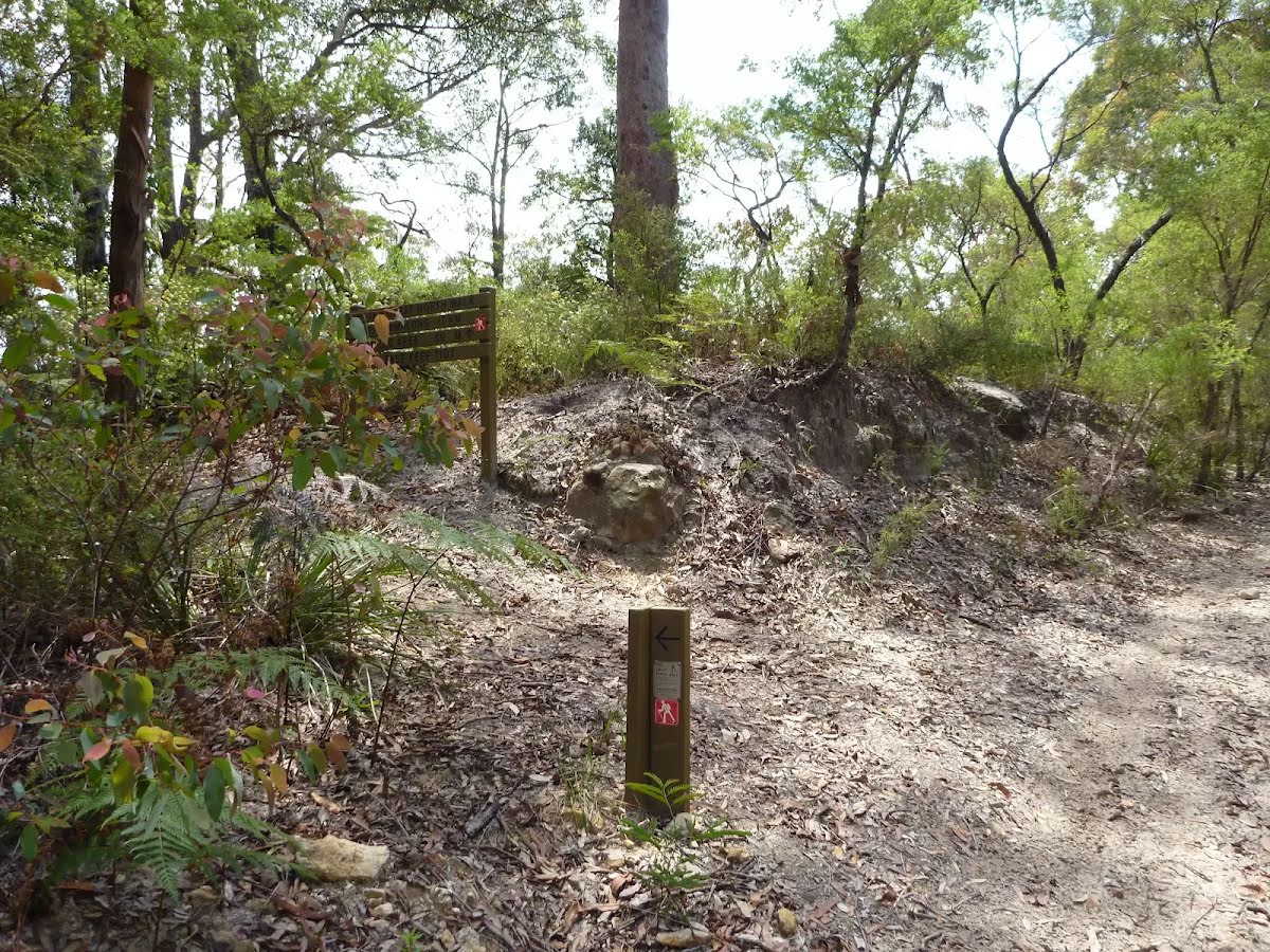
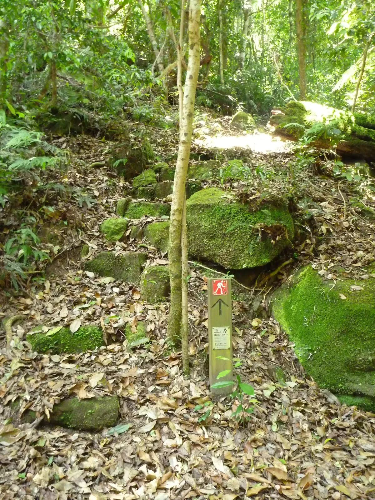
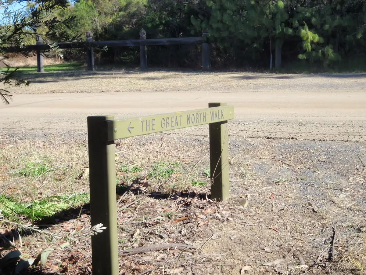
| Signage | Directional signs along the way (3/6) |
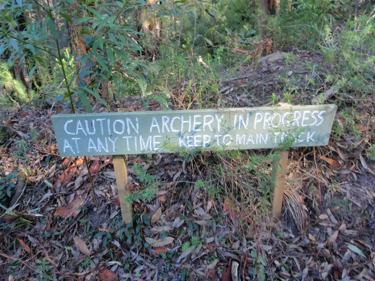
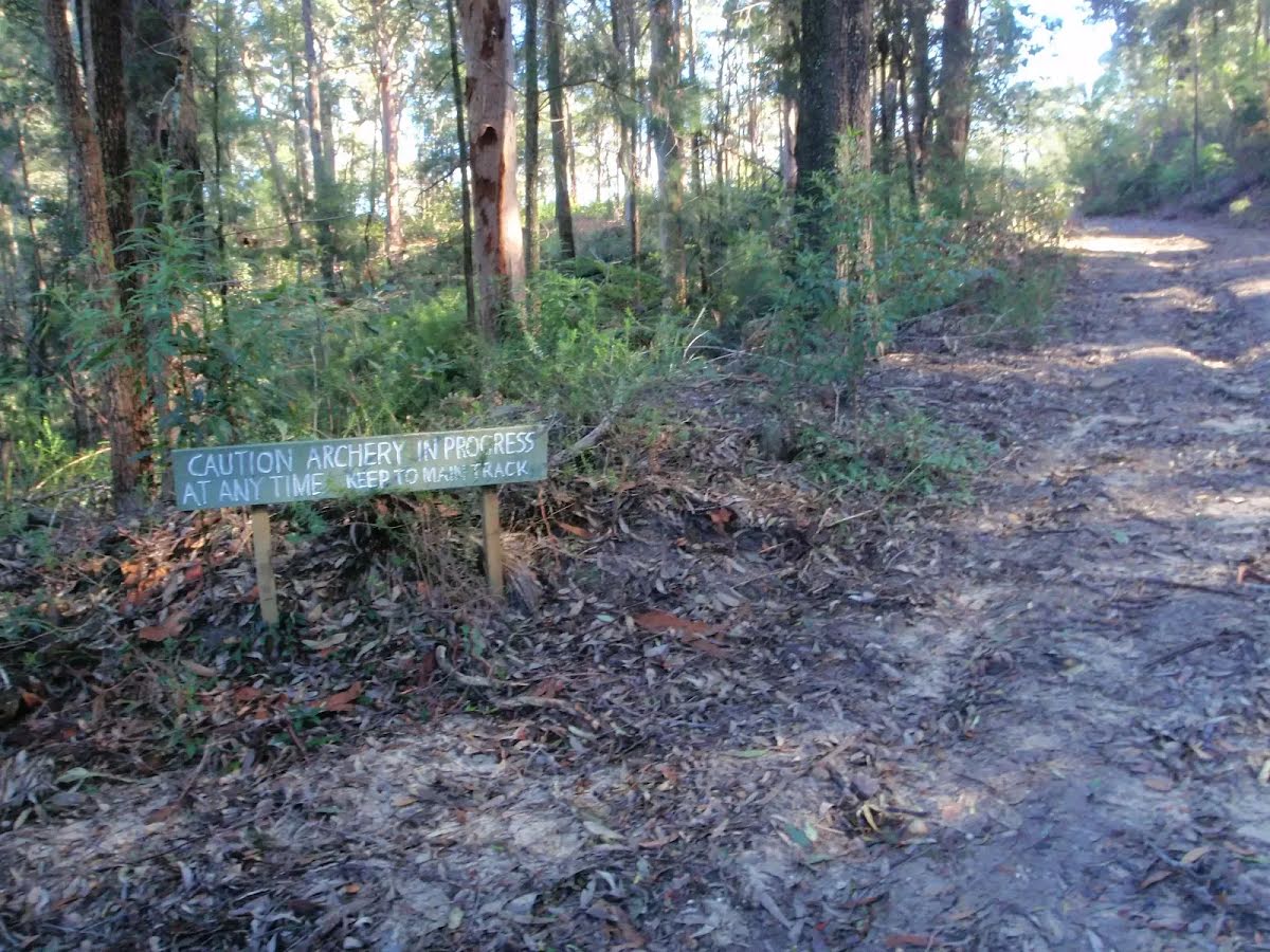
| Infrastructure | Limited facilities, not all cliffs are fenced (3/6) |
| Experience Required | Some bushwalking experience recommended (3/6) |
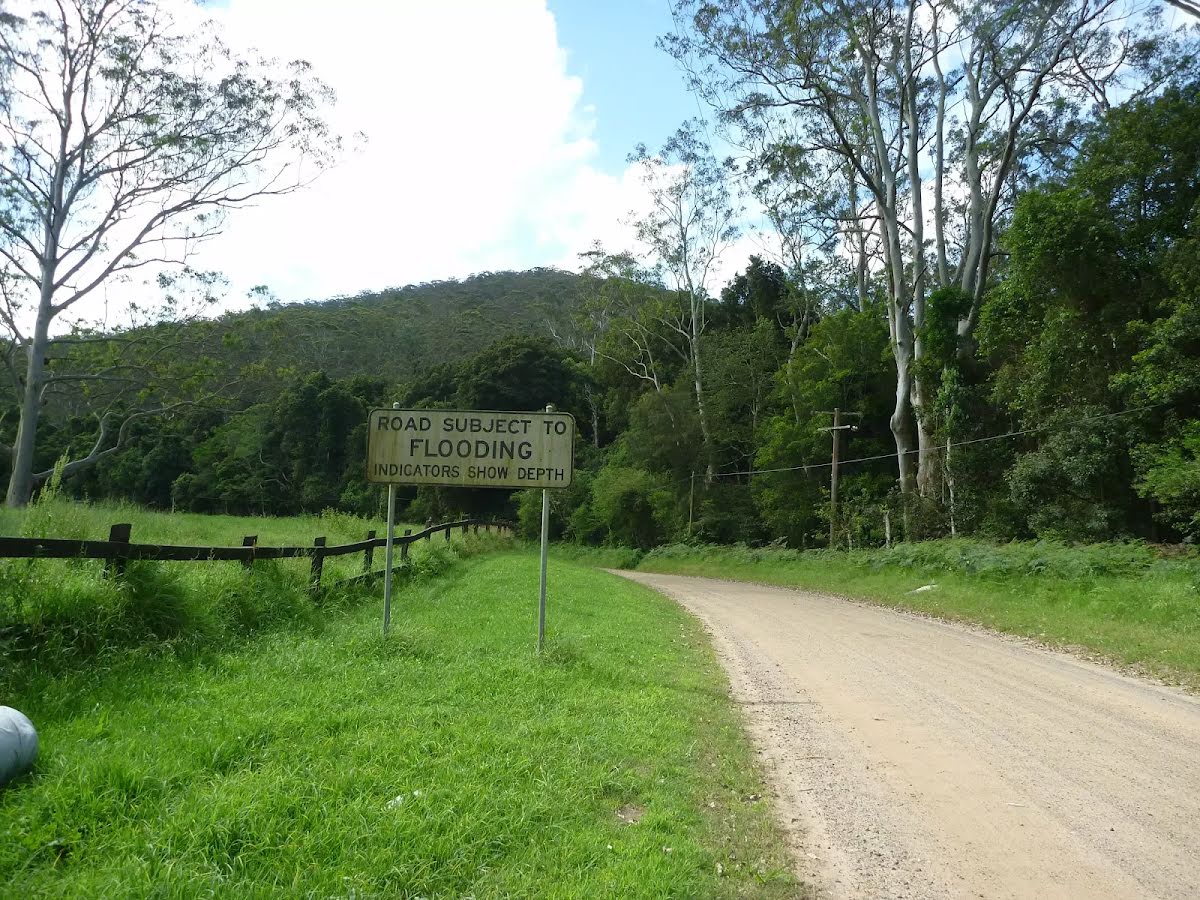
| Weather | Storms may impact on navigation and safety (3/6) |
| Item | From Start | Name & link to notes |
|---|---|---|
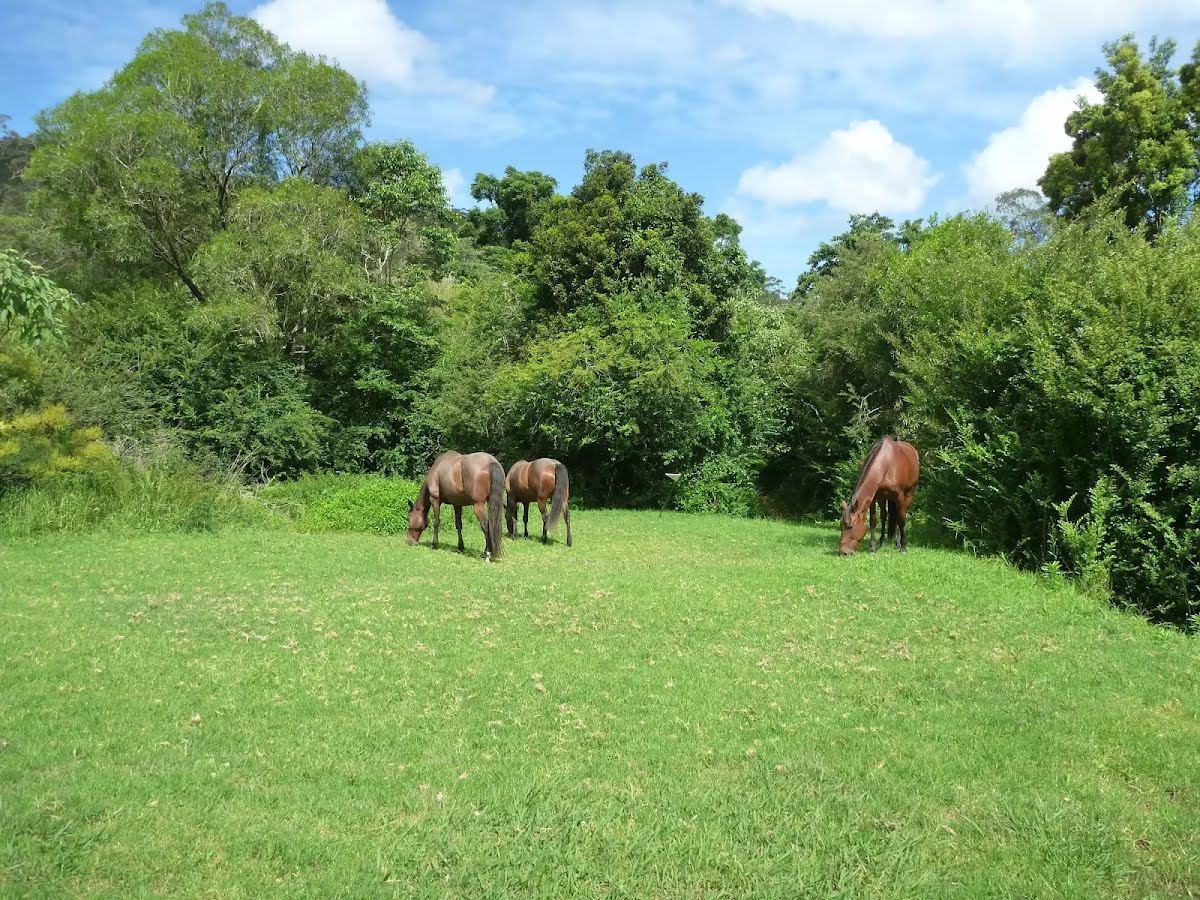
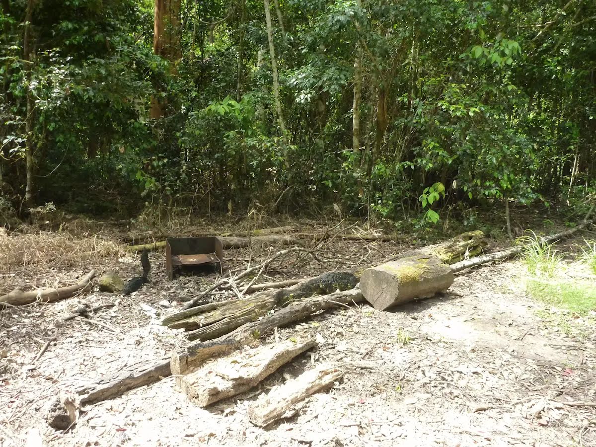
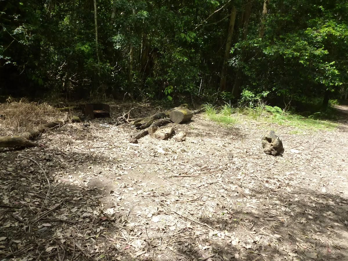
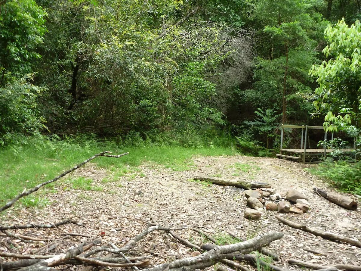
Campsite
| 5.3 km | Tooheys Road campsite |
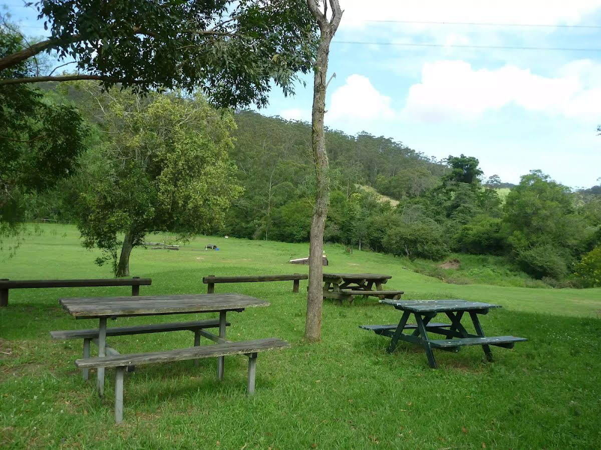
Campsite
| 5.8 km | Stringy Bark Point |
Campsite
| 9.7 km | Campsite |